The best walks and hikes around Lanz
4.6
(1147)
4,458
hikers
268
hikes
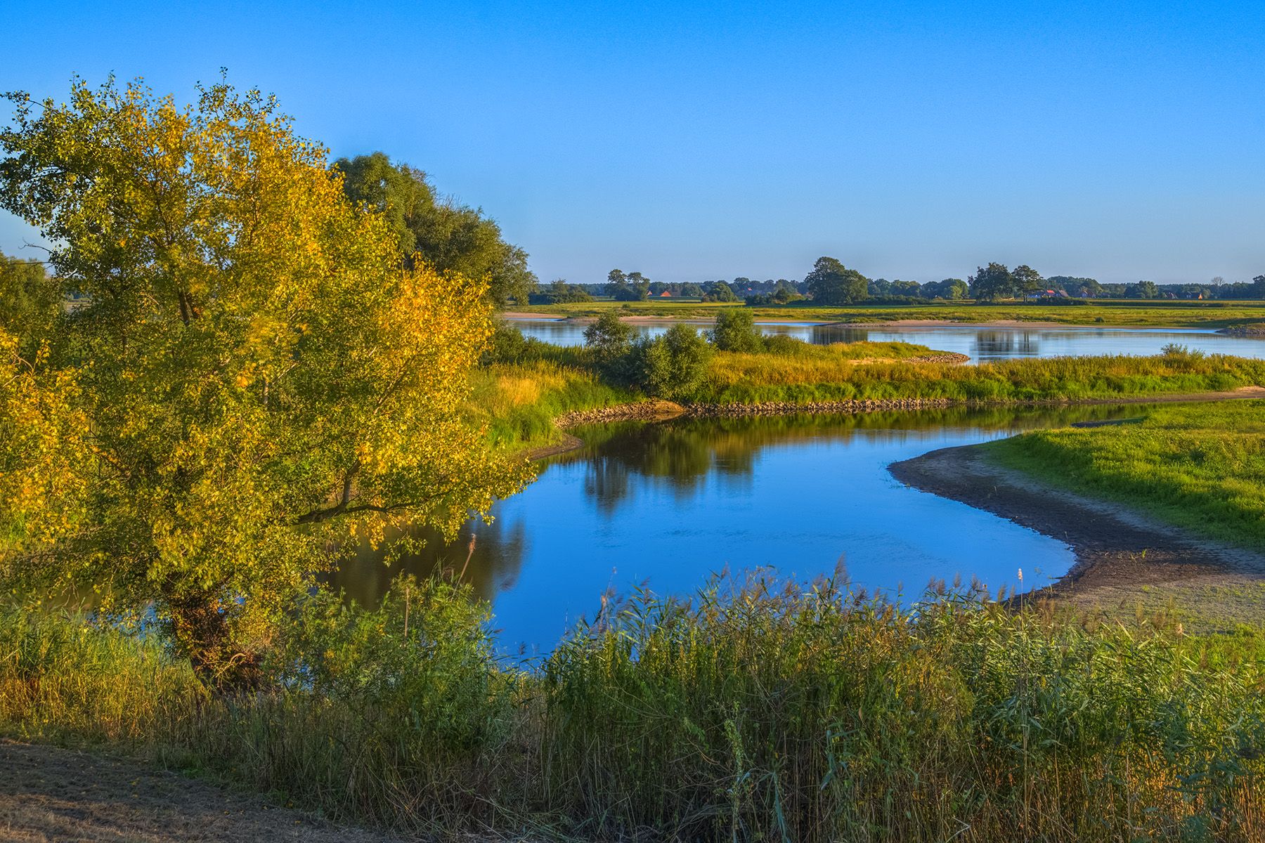
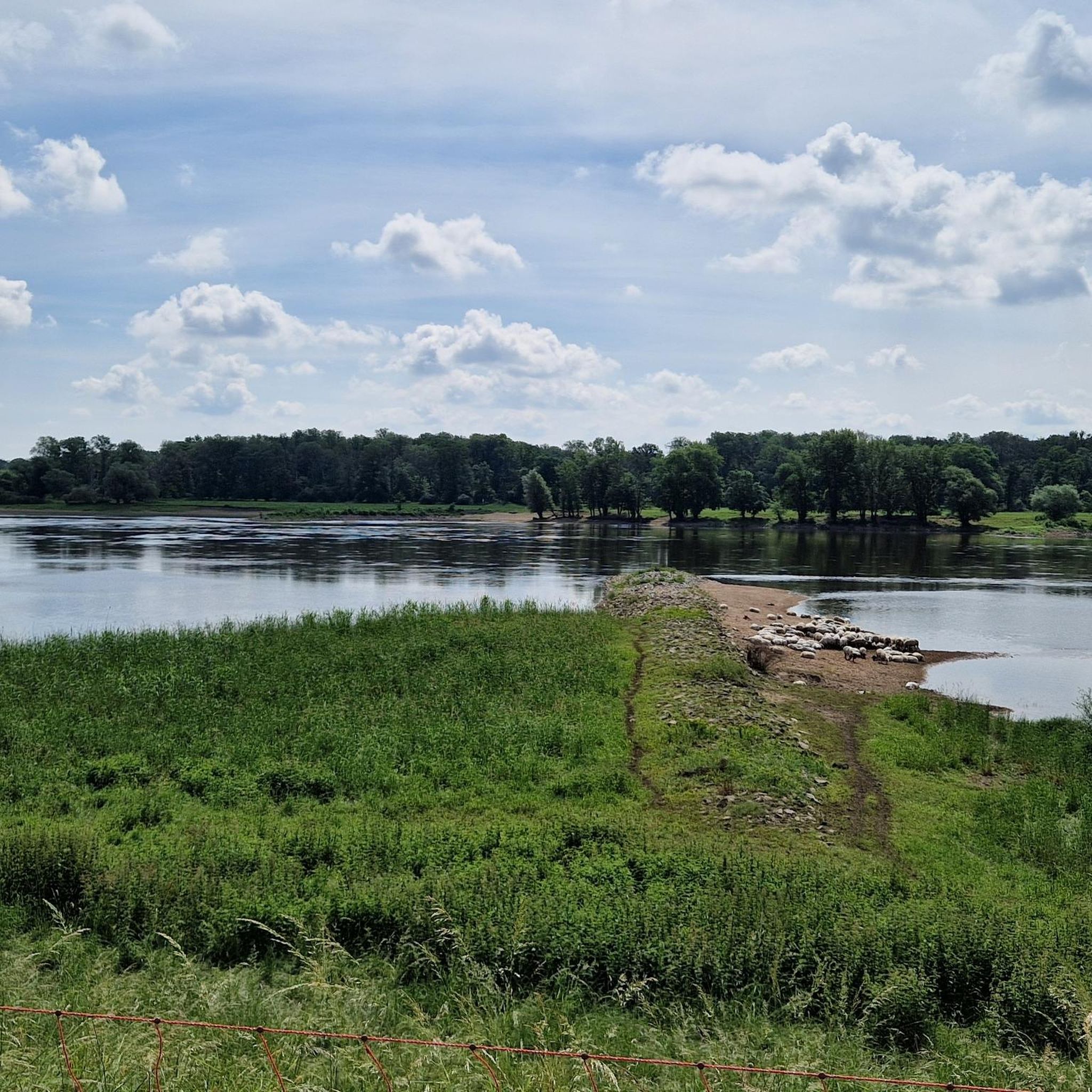
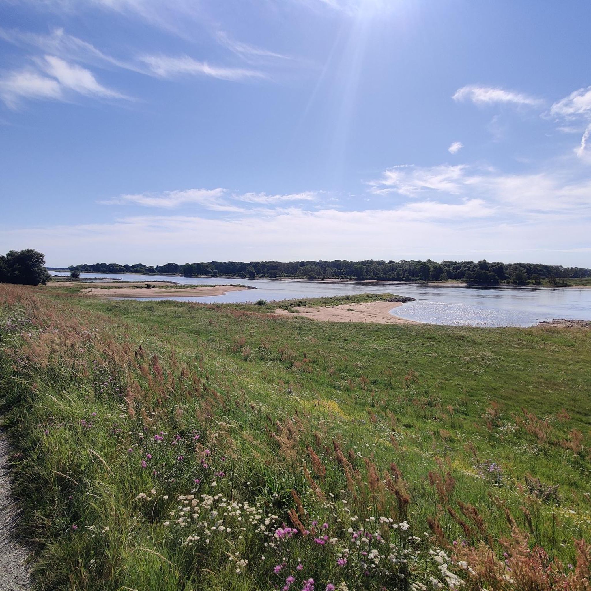
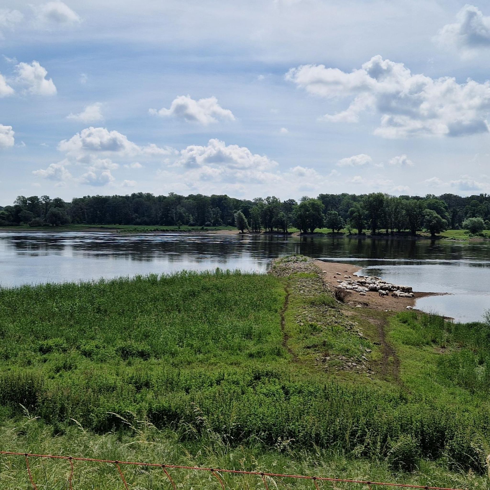
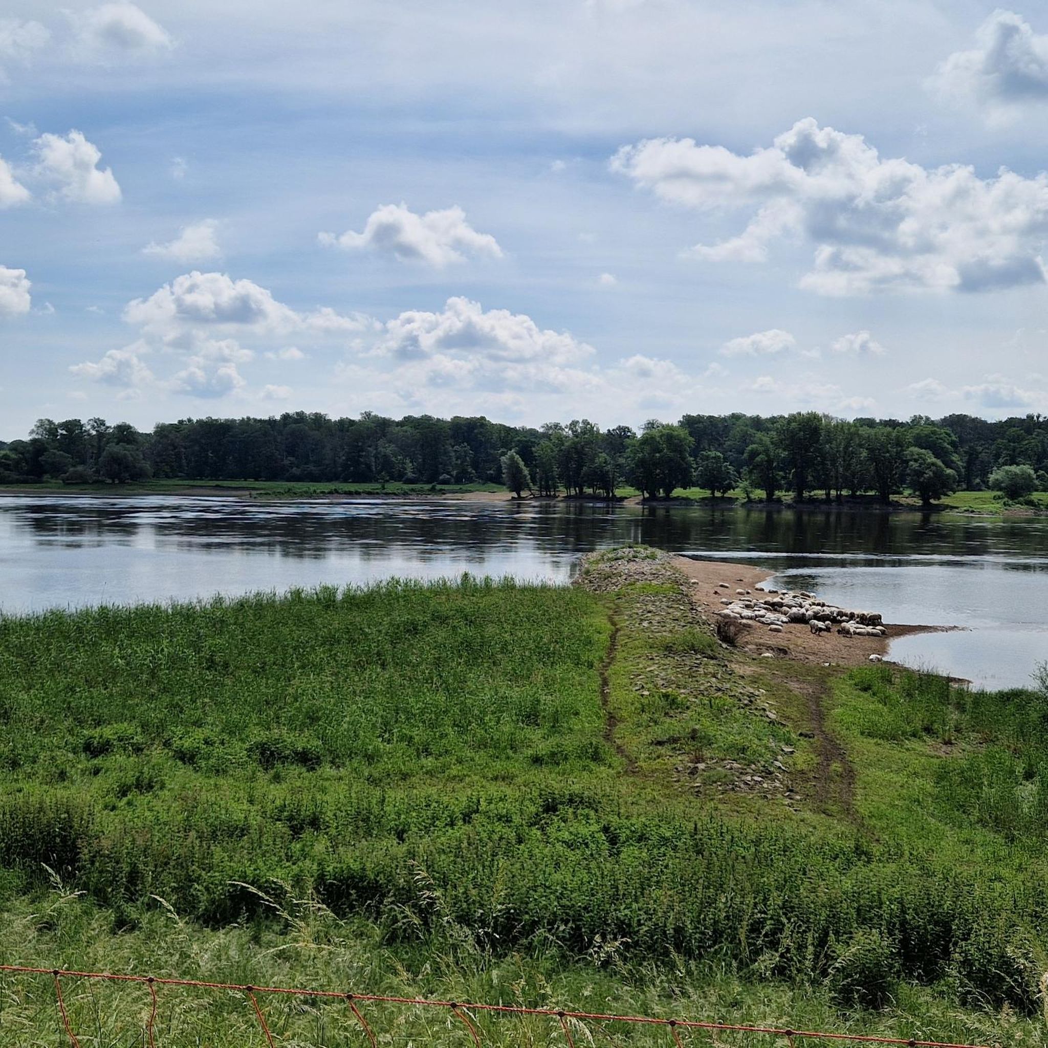
Hiking trails around Lanz are characterized by flat, low-lying terrain, primarily featuring riverine landscapes and extensive floodplains. The region offers routes along the Elbe river and its dikes, with minimal elevation changes. This area, often associated with Lanz, Prignitz, provides accessible paths through meadows and agricultural land.
Best hiking trails around Lanz
- The most popular hiking route is Lenzen-Wustrower Elbniederung loop from Lenzen-Wustrower Elbniederung, a 4.1 miles (6.7 km) trail that takes 1 hour 41 minutes to complete, offering…
Last updated: July 11, 2026
4.9
(16)
59
hikers
6.68km
01:41
10m
10m
Easy hike. Great for any fitness level. Easily-accessible paths. Suitable for all skill levels.
4.9
(15)
58
hikers
6.83km
01:43
10m
10m
Easy hike. Great for any fitness level. Easily-accessible paths. Suitable for all skill levels.

Sign up for free
4.0
(2)
14
hikers
Moderate hike. Good fitness required. Easily-accessible paths. Suitable for all skill levels.
5.0
(1)
8
hikers
Easy hike. Great for any fitness level. Easily-accessible paths. Suitable for all skill levels.
5.0
(1)
5
hikers
Moderate hike. Good fitness required. Easily-accessible paths. Suitable for all skill levels.
Get access to more routes and recommendations from other explorers.
Sign up for free
Already have an account?
Our route recommendations are based on thousands of hikes, rides, and runs completed by other people on komoot.
Start today with a free account
Your next adventure awaits.
Login or Signup

Other adventures around Lanz

Tips from the Community

As already mentioned, you should stop here!
1
0

Actually, there are two lakes. Beautifully situated in the landscape, on the Green Belt, the former border strip between West Germany and East Germany. The beautiful river Aland also flows past here. Here you also have good opportunities to observe and photograph birds and wild animals. On my bike tours, I always enjoy cycling past here and like to make a stopover here.
0
0

There is also an information board here.
0
0

A visit to the interior is worthwhile.
0
0
Good accommodation. Delicious food is served in the evening.
1
0
Observation of waterfowl and cranes is possible.
0
0

A shocking reality: Entire villages had to make way in the border region of the former inner-German border. A place that inspires reflection and is also a paradise for nature lovers. Here, the Green Belt meets the Aland lowlands. The biodiversity is impressive!
0
0

The Old Postal Route has hardly any traffic
0
0
Frequently Asked Questions
What kind of terrain can I expect when hiking around Lanz?
Hiking trails around Lanz are characterized by flat, low-lying terrain, primarily featuring riverine landscapes and extensive floodplains. You'll find routes along the Elbe river and its dikes, with minimal elevation changes, offering accessible paths through meadows and agricultural land.
How many hiking trails are available around Lanz?
There are over 270 hiking trails available around Lanz, offering a wide range of options for various ability levels. The komoot community has explored these routes over 4000 times.
Are there easy hiking options for beginners or casual walkers in Lanz?
Yes, Lanz is an excellent destination for easy hikes. Over 130 of the routes are classified as easy, featuring flat terrain and minimal elevation. For example, the Lenzen-Wustrower Elbniederung loop from Lenzen-Wustrower Elbniederung is an easy 4.1-mile (6.7 km) trail offering views of the Elbe floodplains.
Are there any circular hiking routes in Lanz?
Yes, many trails around Lanz are designed as circular routes, allowing you to start and end at the same point. A popular option is the Bench on the Elbe Dike loop from Lenzen-Wustrower Elbniederung, an easy 4.2-mile (6.8 km) path that follows the Elbe dike.
What do other hikers enjoy most about hiking in Lanz?
The area is highly rated by the komoot community, with an average score of 4.6 stars from over 1000 reviews. Hikers often praise the peaceful riverine landscapes, the well-maintained dike paths, and the opportunity to experience nature in a tranquil, low-lying environment.
Are there any interesting landmarks or natural features to see along the trails?
Yes, the region offers several notable points of interest. You can explore the Brandenburg Elbe River Floodplain Biosphere Reserve, visit the Lenzen Border Tower, or enjoy views from the Schwedenschanze viewing tower on the Höhbeck. The Schnackenburg Harbor – Aulosen Observation Tower loop from Schnackenburg specifically leads to an observation tower.
Can I find family-friendly hiking trails in Lanz?
Absolutely. The flat and gentle terrain of Lanz makes it ideal for family outings. Many of the easy routes are suitable for children and offer a relaxed way to enjoy the outdoors together. Look for trails along the Elbe dikes for safe and scenic walks.
What is the best time of year to go hiking in Lanz?
The best time to hike in Lanz is generally from spring through autumn, when the weather is mild and the landscapes are green. The flat terrain also makes it accessible for winter walks, though conditions might be colder and some paths could be muddy.
Are there any trails that offer viewpoints or scenic overlooks?
While the region is generally flat, you can find elevated perspectives. The Schnackenburg Harbor – Aulosen Observation Tower loop from Schnackenburg leads to an observation tower, providing panoramic views over the riverine landscapes. Additionally, the Schwedenschanze viewing tower on the Höhbeck is another excellent spot for scenic views.
Are there options for longer, more challenging hikes in Lanz?
While the majority of trails are easy to moderate, there are longer routes for those seeking more distance. For example, the Schnackenburg – Alte Schule Guesthouse loop from Schnackenburg is a moderate 6.7-mile (10.8 km) trail, offering a longer exploration of the riverine environment.
What should I wear for hiking in Lanz?
Given the flat terrain and potential for river proximity, comfortable walking shoes are essential. Depending on the season, layers are advisable, and waterproof outerwear can be useful, especially during spring or autumn, as paths can sometimes be damp or muddy.
Most popular attractions around Lanz

Get inspired with the komoot mobile app


Explore more
Browse the best Hikes in other regions.
