The 14 Most Amazing Peaks around Grellingen
Best mountain peaks around Grellingen are situated in the lower Laufental, a region characterized by diverse elevations ranging from 306 to 621 meters above sea level. The area is surrounded by peaks and elevated points that offer scenic views and varied natural features. These locations provide opportunities for hiking and exploring the natural landscape.
Best mountain peaks around Grellingen
- The most popular mountain peaks is Hohe Winde Summit, a summit that offers sensational views to the Alps, the Vosges,…
Last updated: July 7, 2026
Hohe Winde Summit
Highlight • Summit
Translated by Google •
Tip by

Hirnichopf Summit
Highlight • Summit
Translated by Google •
Tip by

Sign up now to discover places like this
Get recommendations on the best single tracks, peaks, & plenty of other exciting outdoor places.
Sign up for free
Vogelberg Summit
Highlight • Summit
Translated by Google •
Tip by

Schartenflue
Highlight • Viewpoint
Translated by Google •
Tip by

Welschgätterli Pass
Highlight • Mountain Pass
Translated by Google •
Tip by
Sign up for free to discover even more peaks around Grellingen.
Sign up for free
Already have an account?
Start today with a free account
Your next adventure awaits.
Login or Signup


Other adventures around Grellingen

Tips from the Community

The panoramic view from up here is phenomenal.
0
0

The Welschgätterli is a mountain pass between Montsevelier in the canton of Jura and Erschwil in the canton of Solothurn. Its summit is at an altitude of 810 meters above sea level, directly on the border between the two cantons. A yellow-marked hiking trail leads over the pass, connecting the two villages. You can also hike past the Welschgätterli on the Chemin du Val Terbi, which takes you on a circular route over the heights around Montsevelier. From the summit of the pass, the hike to Montsevelier takes about half an hour and to Erschwil around 40 minutes.
5
0
Beautiful summit and viewpoint at 1204 meters
6
1

A great tour that we really enjoyed. In order not to have to walk the same route to and from Hirnichopf twice, we walked the official hiking trail shortly after the start to Hirnichopf. A small trail with steps and lots of variety. When descending from Hirnichopf again on the "official" path, I had to say: "If I had had to go up here..." (a climb from here would definitely have made my pulse race). So it's better to use the official hiking trail shortly after the start. A short stop at the Metingerbeg restaurant also refreshed us. Otherwise the route was great and we liked the view! Thank you
2
4

Welschgätterli, a "to-do" in the region! 😍
1
0

Great hike with a view of the mountains. Sure-footedness required
2
0
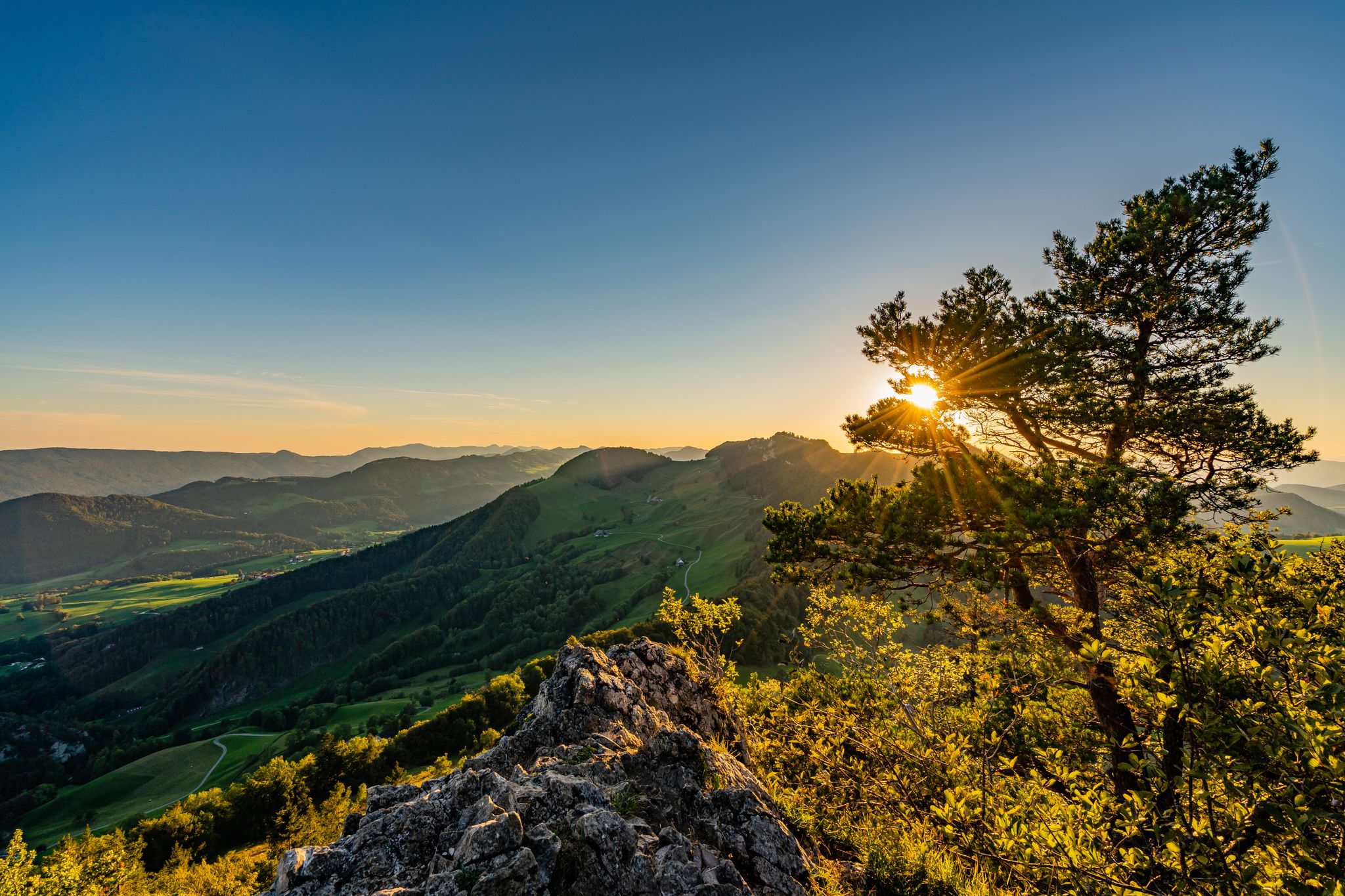
Top view from east, Swiss Alps, to west into the French Jura.
1
0

The weather was very nice and very warm on both sides...😉
0
0
Frequently Asked Questions
What are some of the most rewarding mountain peaks for views around Grellingen?
For sensational panoramic views, consider visiting Hohe Winde Summit. From here, you can often see the Alps, the Vosges mountains, and the Black Forest. Another excellent spot for expansive vistas is the View from Gempenfluh, which offers great views and even has a popular restaurant and an old lookout tower.
Are there any challenging mountain peaks for experienced hikers near Grellingen?
Yes, the Hirnichopf Summit is known for its challenging ascent, but hikers are rewarded with a beautiful view from the top. It requires sure-footedness, making it suitable for those seeking a more strenuous climb.
What kind of natural features can I expect to see on mountain peaks around Grellingen?
The region offers diverse natural features. Beyond the peaks themselves, you'll find dense, mossy forests, steep cliffs, and clear streams with cascades and pools, particularly in areas like the Kaltbrunnental valley. Many peaks, such as Vogelberg Summit, also provide views of the surrounding Jura landscape and distant Alps.
Are there family-friendly hiking opportunities near Grellingen's mountain peaks?
While some peaks involve challenging ascents, the Kaltbrunnental (Chaltbrunnental) valley, located upstream from Grellingen, offers a mystical and wild romantic hiking experience suitable for families and all ages. It features caves to explore and picnic areas with fire pits, making it a great option for a family outing.
What historical sites or unique features can be found near the mountain peaks?
In the Kaltbrunnental valley, you can discover the "Chessiloch" or "Coat of Arms" rock, a notable historical feature where soldiers painted emblems of their units during the First World War. Additionally, the Welschgätterli Pass marks a significant point, lying directly on the border between the cantons of Jura and Solothurn, and historically forming a language border.
What outdoor activities can I do near the mountain peaks around Grellingen?
The area around Grellingen is excellent for various outdoor activities. You can find numerous mountain hikes, such as the "Pfeffingen Castle Ruins – Eggflue Viewpoint loop from Aesch BL" or the "Chastelbach Waterfall – Kaltbrunnental Gorge loop from Grellingen." For more options, explore the Mountain Hikes around Grellingen guide.
Are there cycling routes available near these mountain peaks?
Yes, the region offers road cycling and gravel biking opportunities. For road cycling, routes like the "Descent from Mariastein – Reinacher Heide Cycle Path loop from Zwingen" are popular. Gravel biking enthusiasts can explore routes such as the "Gempen North Trail (Section 1) – Stollenhäuser–Gempen Plateau loop from Dornach-Arlesheim." You can find more details in the Road Cycling Routes around Grellingen guide and the Gravel biking around Grellingen guide.
What do visitors enjoy most about the mountain peaks near Grellingen?
Visitors frequently highlight the sensational and beautiful views from the summits, often stretching to distant mountain ranges like the Alps, Vosges, and Black Forest. The variety of trails, from challenging ascents to picturesque valley walks, and the natural beauty of dense forests and unique rock formations also receive high praise.
Is there a mountain pass worth visiting in the area?
Yes, the Welschgätterli Pass is a significant elevated point at 810 meters above sea level. It's notable for being on the border between the cantons of Jura and Solothurn and offers a yellow-marked hiking trail connecting Montsevelier and Erschwil. You can also hike a circular route over the heights around Montsevelier from here.
Can I find circular hiking routes around the mountain peaks?
Absolutely. For instance, a great circular hike leads to Vogelberg Summit, with a hiking car park directly at the tunnel. The Welschgätterli Pass also serves as a starting point for a circular route over the heights around Montsevelier.
What is the best time to visit the mountain peaks around Grellingen?
While specific seasonal recommendations aren't detailed, the region's diverse trails and viewpoints are generally enjoyable during milder weather. Summits like Hohe Winde can be windy, suggesting clear conditions are ideal for maximizing views. Always check local weather conditions before heading out.
Are there any specific tips for hiking the mountain peaks in this region?
Many trails offer stunning views, but some, like the ascent to Hirnichopf, require sure-footedness. It's always advisable to wear appropriate footwear and clothing. For longer hikes, consider packing snacks and water, especially as some highlights, like Hohe Winde, have tips mentioning options for a little hunger in between.
Most popular routes around Grellingen
Most popular attractions around Grellingen

Get inspired with the komoot mobile app


Explore more
See even more amazing summits around Grellingen with these guides:
