Top 20 Natural Monuments around Upper Beeding
Natural monuments around Upper Beeding are located within the South Downs National Park, offering a range of natural features and historical sites. This region is characterized by chalk hills, river valleys, and ancient earthworks. These sites provide opportunities to explore significant landscapes and archaeological remnants. The area's natural attractions include prominent viewpoints and diverse ecosystems.
Best natural monuments around Upper Beeding
- The most popular natural monument is Ditchling Beacon, a natural monument and viewpoint. It is the highest point…
Last updated: July 13, 2026
Ditchling Beacon
Highlight • Natural Monument
Tip by

Devil's Dyke
Highlight • Historical Site
Tip by

Sign up now to discover places like this
Get recommendations on the best single tracks, peaks, & plenty of other exciting outdoor places.
Sign up for free
Chanctonbury Ring hillfort
Highlight • Historical Site
Tip by
Cissbury Ring Hill Fort
Highlight • Historical Site
Tip by
Sussex Border Path: Ditchling Beacon to Fishersgate
Highlight (Segment) • Trail
Tip by

Sign up for free to discover even more natural monuments around Upper Beeding.
Sign up for free
Already have an account?
Start today with a free account
Your next adventure awaits.
Login or Signup
Popular around Upper Beeding
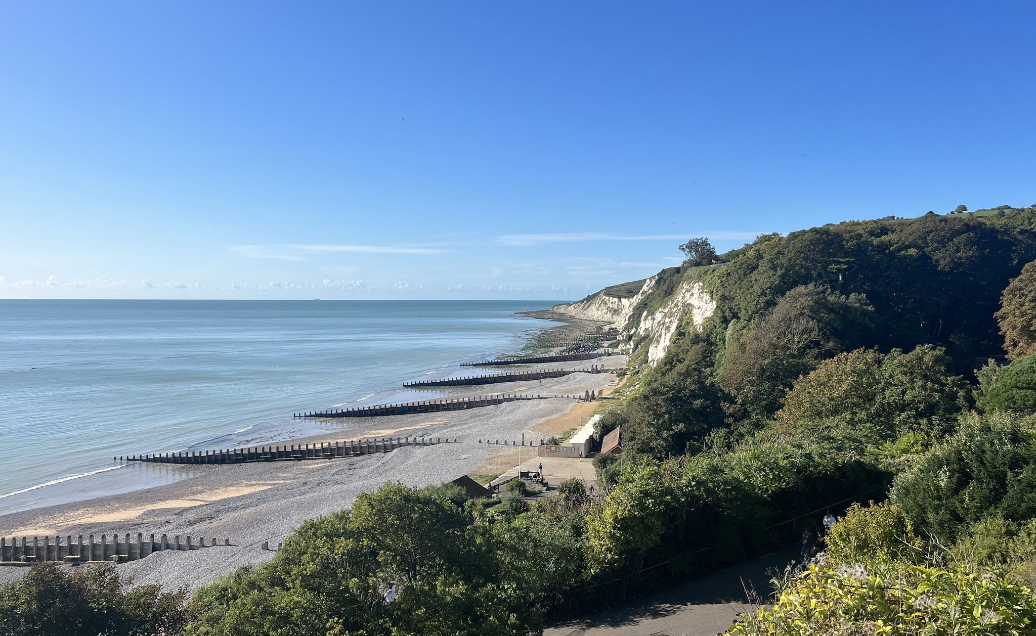
South Downs National Park – A Walk in the Parks
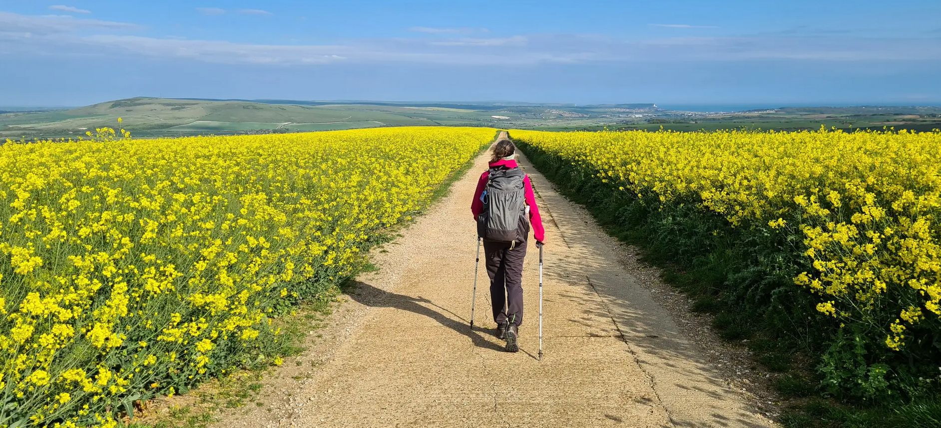
South Downs Way – A captivating hike across Southern England
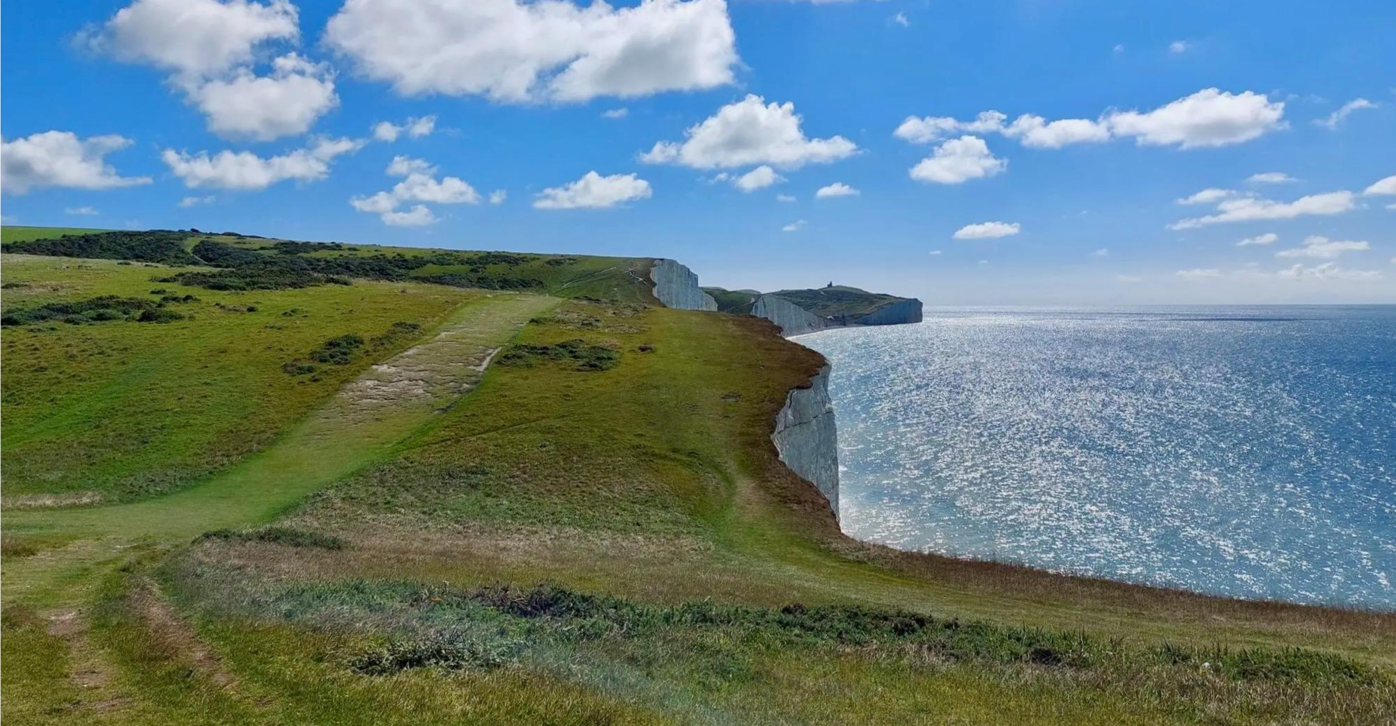
South Downs Way — Hike ancient paths and unique landscapes
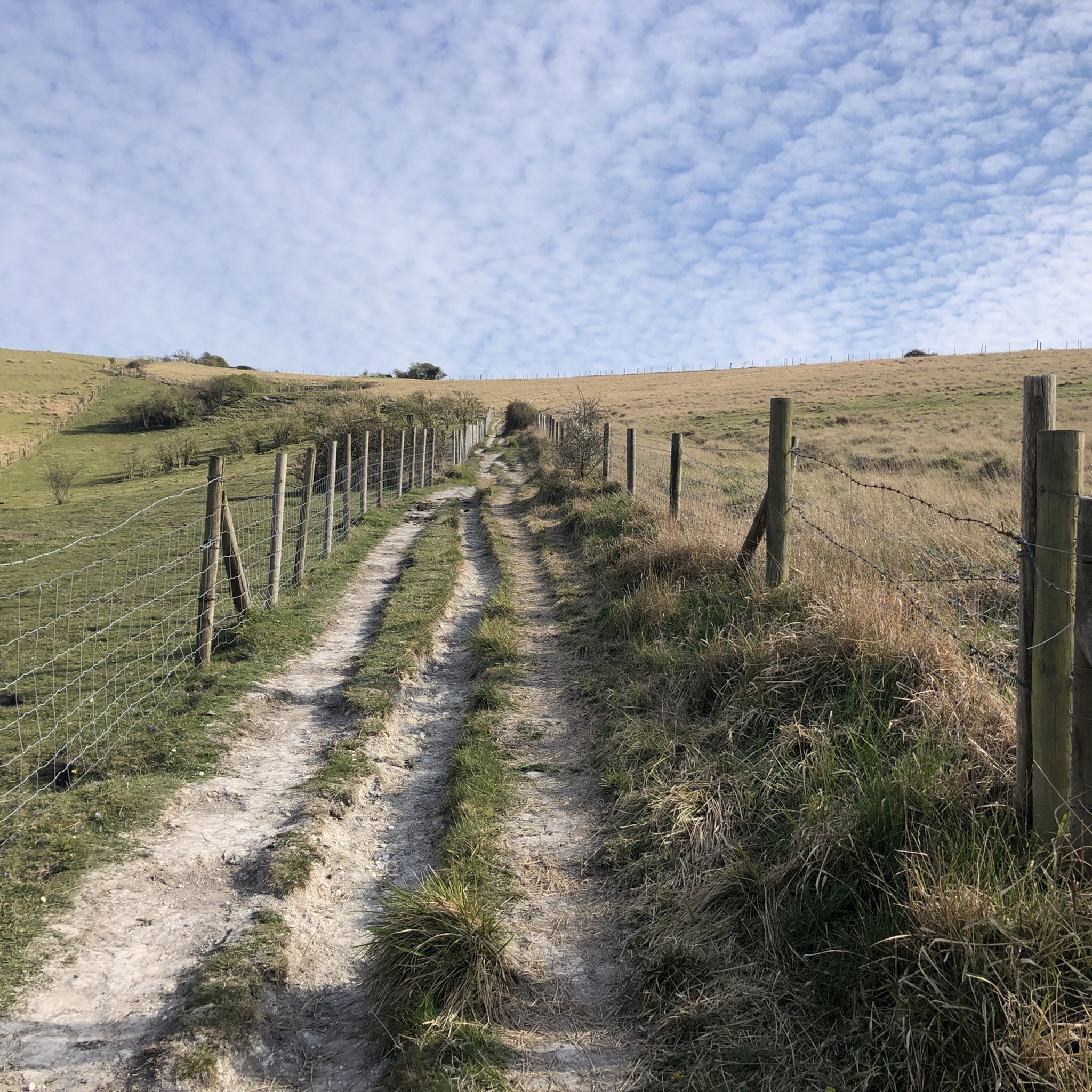
Hiking around Upper Beeding
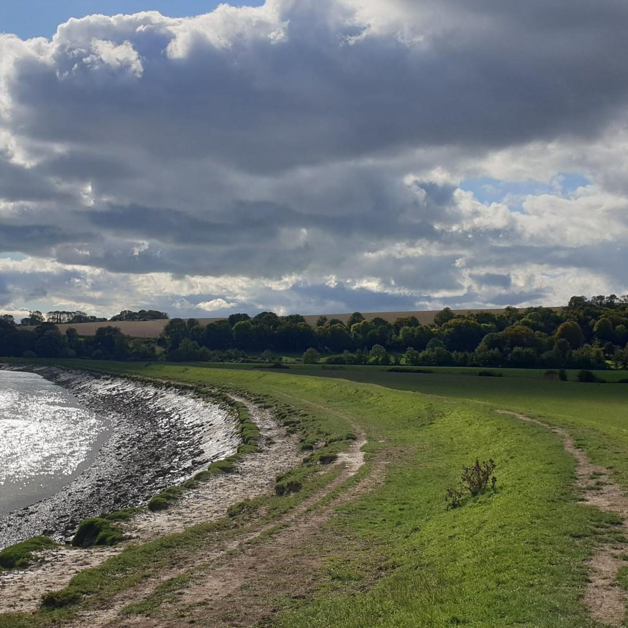
Road Cycling Routes around Upper Beeding
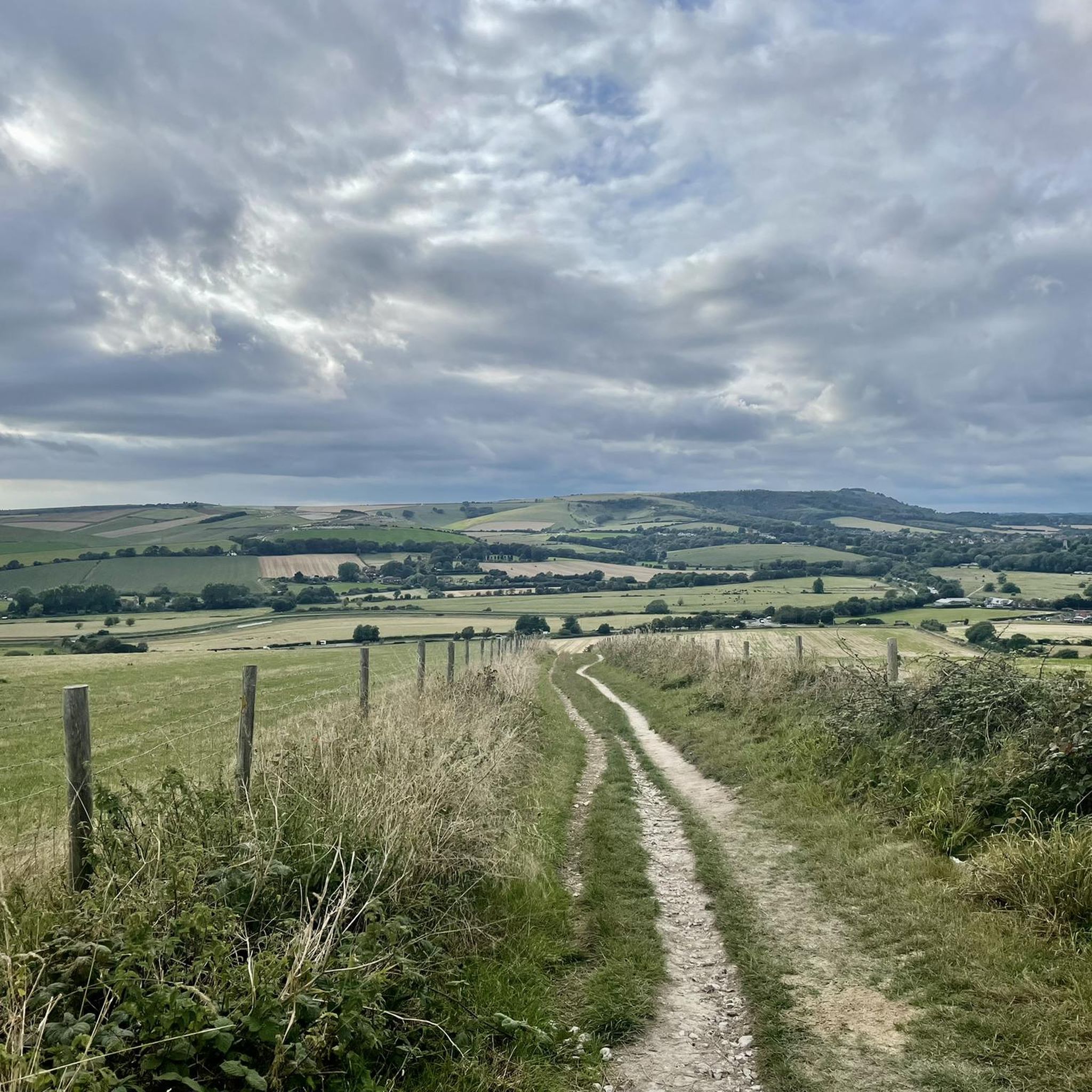
Running Trails around Upper Beeding
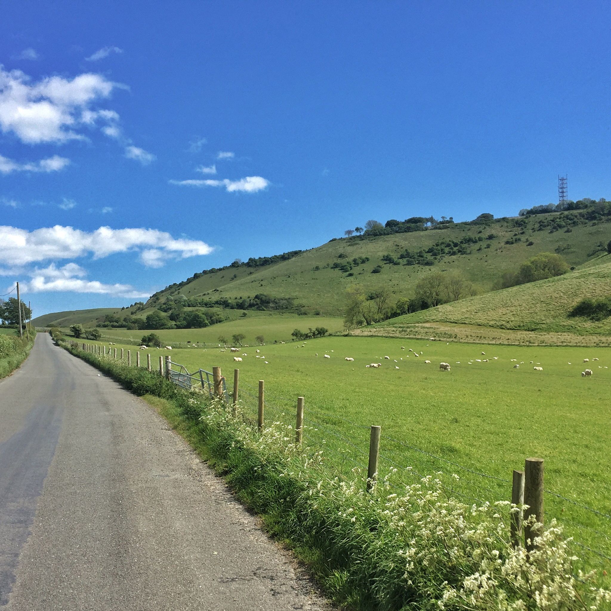
Cycling around Upper Beeding
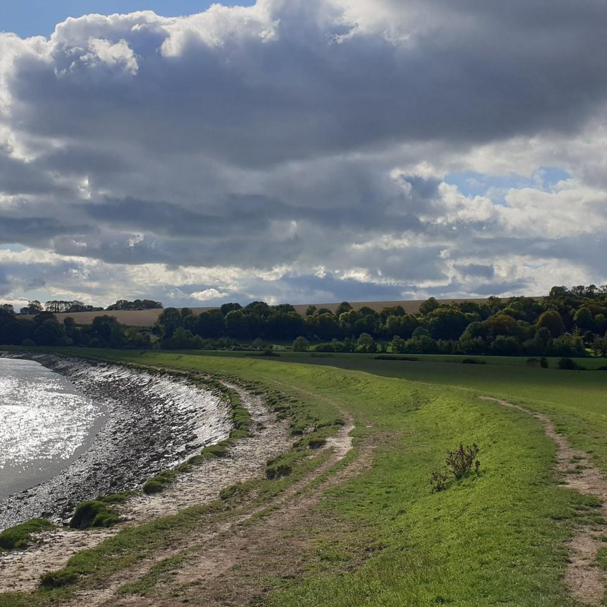
MTB Trails around Upper Beeding

Gravel biking around Upper Beeding


Tips from the Community

The Sussex Border Path is a long-distance footpath that is nearly 150 miles (241 km) long and goes around the county boundary of Sussex. It is a relatively new trail initiated in 1983, and since its inception, the route has only traced the county boundary. As Sussex has been split administratively into east and west for many years, there is now a new border path section running from East Grinstead to Brighton, reflecting these east and west sections. This is part of that section and runs from Ditchling Beacon to Fishersgate, or vice versa. The section is 12 miles (19 km) long and consists of Ditchling Beacon itself, sections of beautiful bridleways with sea views, and the famous Chattri Indian War Memorial.
1
1
At over 650 feet (200 m), Ditchling Beacon gives you a good climb and a great vantage point to see out over the surrounding countryside. To the north you look back at the lush countryside of the Weald, to the south are views of Brighton, and to the east and west, the rolling undulating views out over the South Downs.
1
1

This is a beautiful spot, there is a trig point that is placed on one of the ramparts of the actual Iron Age hillfort here. It is very popular with walkers, and families. The valley bowl is also particularly beautiful.
1
0

Ice cream van also serving Tea today (Easter Monday). view from the top on a nice clear day
0
0
Cissbury Ring is one of the jewels in the crown of the new South Downs National Park. It's the largest hill fort in Sussex and has a history dating back over 5,000 years. Set high up on a chalk promontory, its ditch and ramparts enclose about sixty-five acres. From the top on a clear day you can see forever, with views across to the chalk cliffs beyond Brighton and as far as the Isle of Wight.
0
0
This is a beautiful spot with expansive views out North over the rolling South Downs countryside giving you a lush patchwork of quilted green fields. There is also a sturdy bench to take the weight off your feet and super cool Cissbury Ring just behind you.
1
0

Frequently Asked Questions
What are the most prominent natural monuments to visit around Upper Beeding?
Among the most prominent natural monuments are Ditchling Beacon, the highest point along the Sussex Downs offering panoramic views, and Devil's Dyke, a unique v-shaped chalkland dry valley known for its wildflowers and butterflies. Another significant site is Chanctonbury Ring hillfort, an ancient hillfort with prominent beech trees and expansive views.
Are there any historical or archaeological sites among the natural monuments near Upper Beeding?
Yes, several natural monuments in the area also boast significant historical and archaeological interest. Ditchling Beacon features an Iron Age hillfort. Devil's Dyke was also an Iron Age hillfort, with earthworks still visible. Chanctonbury Ring hillfort is a late Bronze or early Iron Age site, and Cissbury Ring Hill Fort is the largest hillfort in Sussex, over 5,000 years old.
What unique geological features can I explore near Upper Beeding?
The region is characterized by its chalk hills and valleys, part of the South Downs National Park. Devil's Dyke is a prime example of a v-shaped chalkland dry valley. The River Adur and its floodplain also represent significant natural features, offering insights into the area's geological and hydrological history.
Where can I experience the natural beauty and wildlife around Upper Beeding?
For natural beauty and wildlife, Devil's Dyke is renowned for its diverse wildflowers and numerous butterfly species. The River Adur floodplain provides opportunities for spotting various water birds like herons and egrets. Many of the natural monuments, being within the South Downs National Park, offer rich ecosystems.
Are there easy walks suitable for all abilities near Upper Beeding's natural monuments?
Yes, the area offers several easy walking options. The River Adur valley provides gentle, flat walks, such as the Shoreham Toll Bridge loop. For more easy routes, you can explore the Easy hikes around Upper Beeding guide, which includes routes like the 'St Mary's House and Gardens – Downs Link loop'.
What kind of outdoor activities can I do near the natural monuments around Upper Beeding?
Beyond exploring the monuments themselves, the area is excellent for various outdoor activities. You can find numerous running trails, including challenging loops around Chanctonbury Ring hillfort and Devil's Dyke. There are also MTB trails, such as the 'South Downs Way Trail – Chanctonbury Ring hillfort loop'.
Are the natural monuments around Upper Beeding family-friendly?
Many of the natural monuments offer family-friendly experiences. Devil's Dyke is categorized as family-friendly, offering picturesque scenery and space to explore. The River Adur floodplain also provides gentle walks suitable for families. Always check specific trail difficulties before heading out.
Are the natural monuments around Upper Beeding dog-friendly?
Generally, the natural monuments and trails within the South Downs National Park are dog-friendly, though dogs should be kept under control, especially around livestock. Areas like Ditchling Beacon and Devil's Dyke are popular with dog walkers. Always adhere to local signage regarding dog access and leash requirements.
What is the best time of year to visit the natural monuments?
The natural monuments around Upper Beeding can be enjoyed year-round. Spring brings wildflowers to places like Devil's Dyke, while autumn offers vibrant foliage, particularly around Chanctonbury Ring's beech trees. Summer provides longer daylight hours for exploration, and clear winter days can offer crisp, far-reaching views from viewpoints like Ditchling Beacon.
Are there challenging hikes for experienced walkers near Upper Beeding?
Yes, the South Downs National Park offers challenging terrain. Ditchling Beacon, being the highest point, involves a good climb. Chanctonbury Ring hillfort and Cissbury Ring Hill Fort are also categorized as intermediate to challenging. For specific routes, refer to the Running Trails around Upper Beeding guide, which includes difficult routes like the 'Chanctonbury Ring hillfort – South Downs Way Trail loop'.
Can I find circular walks around the natural monuments?
Yes, many routes in the area are designed as circular walks, allowing you to start and end at the same point. For instance, the River Adur valley offers circular options like the Shoreham Toll Bridge loop. You can find more circular routes by exploring the various running, hiking, and MTB guides for Upper Beeding.
What are the best viewpoints among the natural monuments around Upper Beeding?
Ditchling Beacon offers wonderful panoramic views stretching south to the sea, north across the Weald, and east-west across the Downs. Devil's Dyke provides striking views of its unique valley landscape. From Chanctonbury Ring hillfort and Cissbury Ring Hill Fort, you can enjoy sublime views over the South Downs countryside, with Cissbury even offering glimpses of the Isle of Wight on a clear day.
Most popular routes around Upper Beeding
Most popular attractions around Upper Beeding

Get inspired with the komoot mobile app


Explore more
Extend your search for the best caves by checking out these guides of the top ones around Upper Beeding:
