The 20 Most Amazing Peaks around Stüsslingen
Best mountain peaks around Stüsslingen are situated at the foot of the Jura mountains, offering access to both local elevations and significant regional peaks. The municipality of Stüsslingen, located in the canton of Solothurn, Switzerland, features forested local elevations like Gugen (805 m) and Rebenflue (688 m). For more challenging experiences, prominent regional peaks such as Hasenmatt (1,445 m) and Weissenstein (1,395 m) are accessible, providing expansive panoramic views. The area provides diverse natural experiences, from moderate hikes on local…
Last updated: September 26, 2026
Wasserflue
Highlight • Summit
Translated by Google •
Tip by

Geissflue
Highlight • Viewpoint
Translated by Google •
Tip by

Sign up now to discover places like this
Get recommendations on the best single tracks, peaks, & plenty of other exciting outdoor places.
Wisenberg Observation Tower
Highlight • Monument
The forest grew higher and higher, making it necessary to expand the tower.
Translated by Google •
Tip by
Gislifluh/Gisliflue
Highlight • Summit
Translated by Google •
Tip by

Geissfluhgrat — Highest point in the Canton of Aargau
Highlight • Summit
Unfortunately, from here you do not have the brilliant view as from the Geissflue.
Translated by Google •
Tip by
Sign up for free to discover even more peaks around Stüsslingen.
Already have an account?
Start today with a free account
Your next adventure awaits.
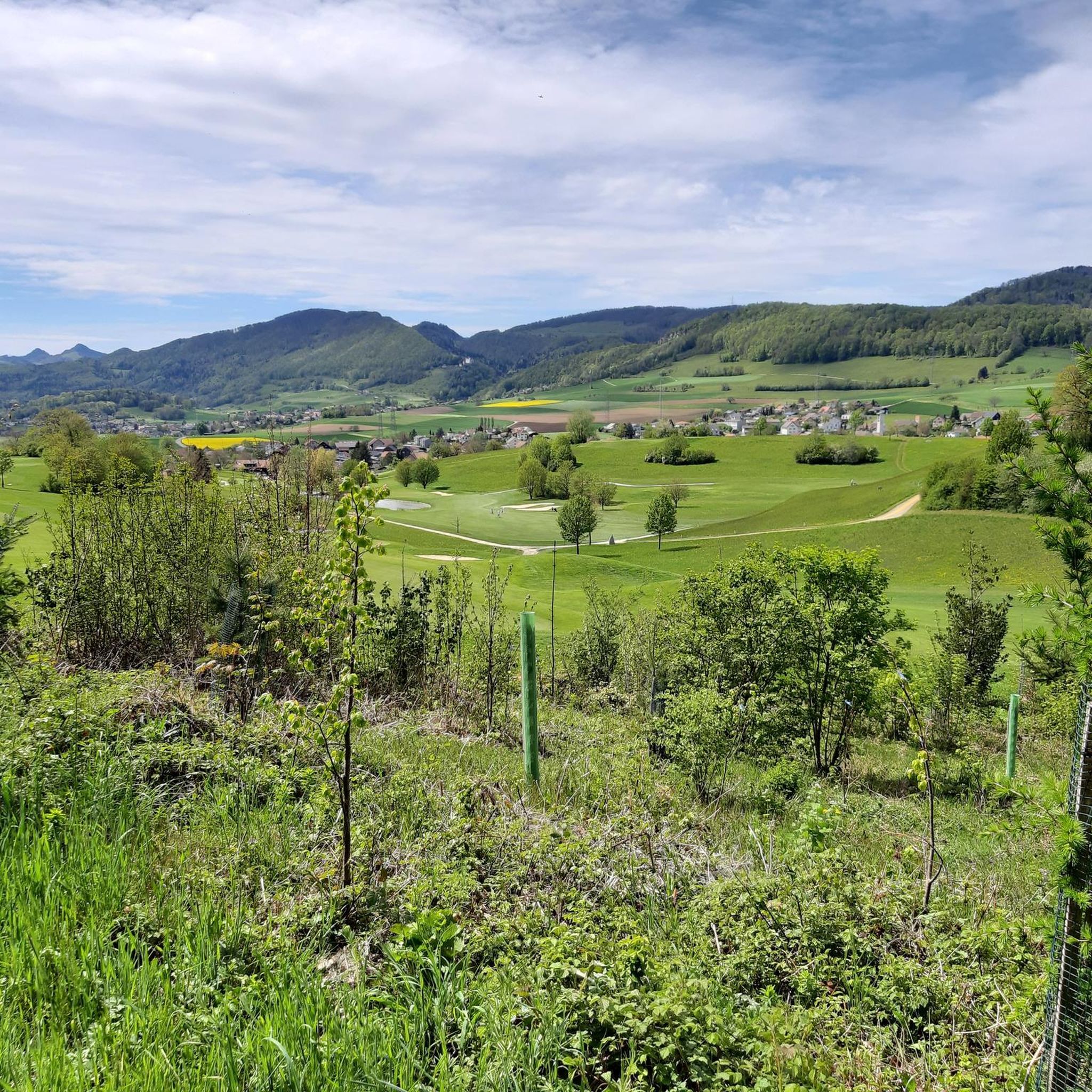
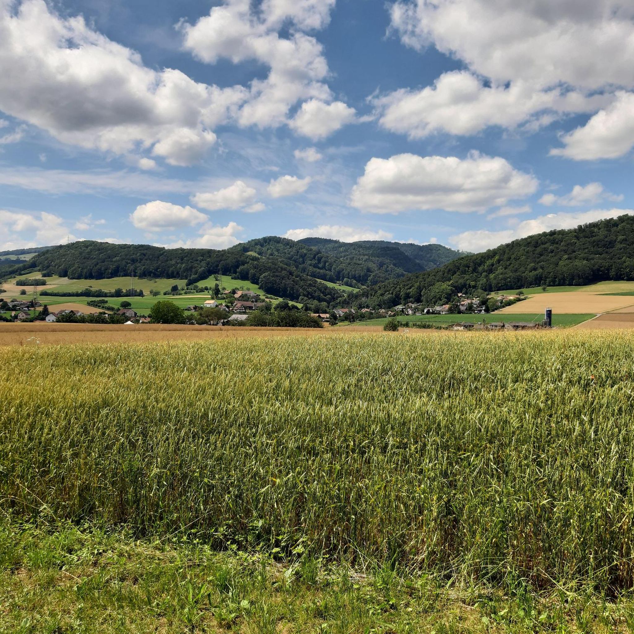
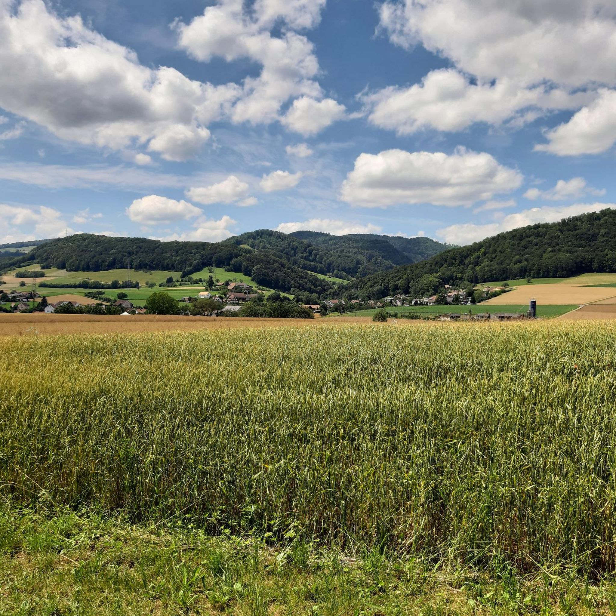

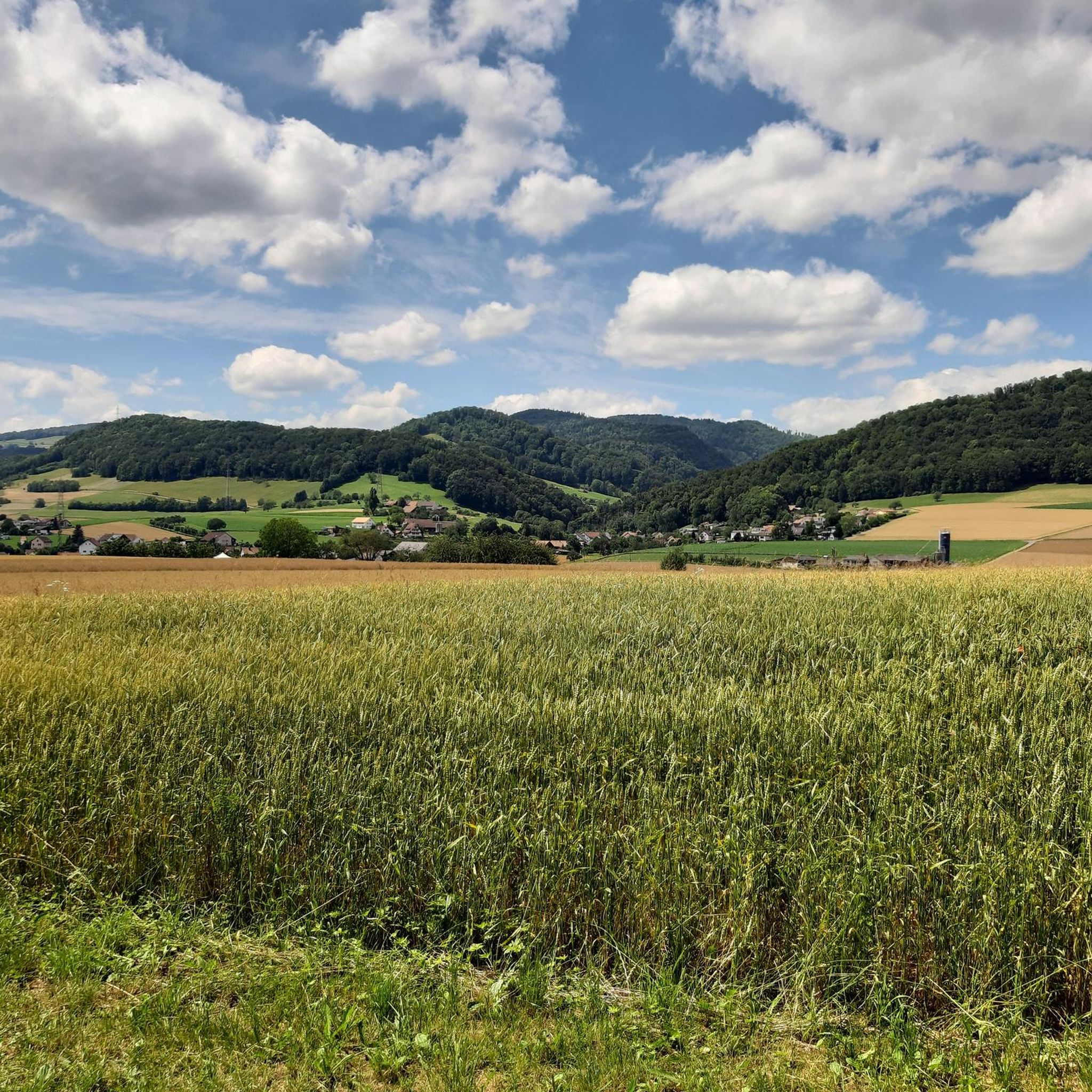
Tips from the Community

Since the Wiesenberg is in the forest, this observation tower makes sense. It takes hikers above the treetops and allows a 360-degree panorama. There are panorama boards. The climb is worth it.
6
0

During the Second World War, this tower was used as an air observation post. The forest grew higher and higher, making it necessary to expand the tower. In 1953, it was increased by 6 meters and in 1987 by a further 9.5 meters.
8
0

My chicco felt big on the Top of Aargau ;-)
4
0

rather amusing. The Solothurn begins 200m further on, where the path climbs again sharply.
5
0
The climb is worth it, the path is a bit exposed. But you can see the valley and feel the remains of the original Jura
5
0

The Wiesenbergturm beautiful little tower with good vision if the weather is right.
4
1


The Wisenberg belongs with its 1001 m above sea level. among the highest elevations in the Jura in Basel. The highest point and the striking ridge around it were placed under protection in 2000. By the way, the spring water for the spa town of Bad Ramsach below has been extracted here for over 500 years.
5
0
Frequently Asked Questions
What are the most prominent mountain peaks accessible from Stüsslingen?
While Stüsslingen itself features local elevations like Gugen (805 m) and Rebenflue (688 m) for accessible hikes, the region offers more prominent peaks. The highest summit in the canton of Solothurn, Hasenmatt (1,445 m), provides sensational panoramic views stretching to the Alps, Vosges, and Black Forest. Another popular destination is Weissenstein (1,395 m), known for its unique views from Säntis to Mont Blanc and easy accessibility by cable car.
Are there any mountain peaks near Stüsslingen that offer exceptional panoramic views?
Yes, several peaks in the vicinity of Stüsslingen are renowned for their panoramic vistas. Wasserflue is a popular summit offering extensive views of the Swiss Alps and the Black Forest. For a 360-degree perspective above the treetops, the Wisenberg Observation Tower is an excellent choice, especially since it was expanded to ensure clear views.
What are some family-friendly mountain experiences around Stüsslingen?
For families, the Weissenstein area is highly recommended. It's easily accessible by cable car and features numerous flat paths suitable for strollers and wheelchairs. The Wisenberg Observation Tower is also categorized as family-friendly, offering an engaging climb to a panoramic viewpoint. Local elevations like Gugen and Rebenflue provide moderate hikes suitable for various fitness levels, including families.
What kind of hiking trails can I find near the mountain peaks around Stüsslingen?
The region around Stüsslingen offers a diverse range of hiking trails. You can find easy loops like the 'Schafmatt Mountain Lodge – Geissflue loop from Bezirk Gösgen' (3.4 km) or more challenging routes such as the 'View of Wasserflue – Forest trail in Aargau loop from Bezirk Gösgen' (14.7 km). For a comprehensive overview of routes, explore the Hiking around Stüsslingen guide.
Which mountain peaks offer a unique historical or natural monument experience?
The Wisenberg Observation Tower is a unique spot, having served as an air observation post during WWII. Its history of expansion to rise above the growing forest makes it a fascinating visit. Additionally, Gislifluh/Gisliflue is recognized as a natural monument, offering beautiful ridge paths and stunning sunsets.
Are there any mountain peaks that are particularly good for winter hiking near Stüsslingen?
While specific winter hiking conditions vary, Wasserflue is noted for being impressive in foggy conditions or with snow in winter. Gislifluh/Gisliflue is also considered a worthwhile destination in winter, offering beautiful ridge paths.
What do visitors enjoy most about the mountain peaks around Stüsslingen?
Visitors frequently praise the ingenious and sensational views, particularly from spots like Geissflue, which offers vistas of the Baden region, Alsace, and the Basel area. The panoramic views of the Swiss Alps and Black Forest from Wasserflue are also highly appreciated, especially during foggy or snowy conditions. The opportunity for a peaceful break and connection with nature is a common theme.
Which mountain peak marks the highest point in the Canton of Aargau?
The highest point in the Canton of Aargau is the Geissfluhgrat, which reaches 908 m above sea level. It's located in the municipality of Erlinsbach and is easily accessible right next to a hiking trail, though it doesn't offer the same expansive views as the nearby Geissflue.
What other outdoor activities can I do near the mountain peaks around Stüsslingen?
Beyond hiking, the area around Stüsslingen is excellent for other outdoor sports. You can find various running trails, including 'Running loop from Stüsslingen' (5.5 km, moderate) or 'Wartenfels Castle – Froburg Hill loop from Lostorf' (13.3 km, difficult). For gravel biking, routes like 'Aare Riverside Cycle Path – Aare River loop from Aarau' (43.7 km, difficult) are available. Explore more options in the Running Trails around Stüsslingen and Gravel biking around Stüsslingen guides.
Where is <a href="https://www.komoot.com/highlight/122975" target="_blank" rel="noopener">Geissflue</a> located and what views does it offer?
Geissflue is a 963 m high mountain in the Swiss Jura, situated between the cantons of Basel-Land, Solothurn, and Aargau. From its summit, you can enjoy an ingenious view of the Baden region, Alsace, and the Basel area, making it a truly sensational viewpoint.
How accessible is <a href="https://en.wikipedia.org/wiki/Weissenstein" target="_blank" rel="noopener">Weissenstein</a> for visitors?
Weissenstein is highly accessible for a wide range of visitors. It can be reached by car, bike, or conveniently by cable car. The area is well-suited for families, with numerous flat paths that are even suitable for strollers and wheelchairs, making it an inclusive destination.
What are the local elevations within Stüsslingen's municipal area?
Within Stüsslingen's direct municipal area, you'll find several notable local elevations that are part of the eastern folded Jura mountains. These include Gugen (805 m), which is the highest point, Rebenflue (688 m), Änggistein (764 m), and Stellirain (781 m). These areas are primarily forested and offer accessible paths for hiking and experiencing the local natural beauty.
Most popular routes around Stüsslingen
Most popular attractions around Stüsslingen

Get inspired with the komoot mobile app


Explore more
See even more amazing summits around Stüsslingen with these guides:
