Top 20 Natural Monuments around Damme
Best natural monuments around Damme are found within a landscape characterized by diverse natural features. The region includes the Dammer Berge, a high, wooded ridge formed during the Saale ice age, and the Dümmer See, Lower Saxony's second-largest inland lake. These areas offer a blend of geological history and varied ecosystems. The natural monuments here provide opportunities for exploring different landscapes, from rolling hills and forests to wetlands and coastal areas.
Best natural monuments around Damme
- The most popular natural…
Last updated: June 28, 2026
The Zwin Nature Reserve
Highlight • Natural Monument
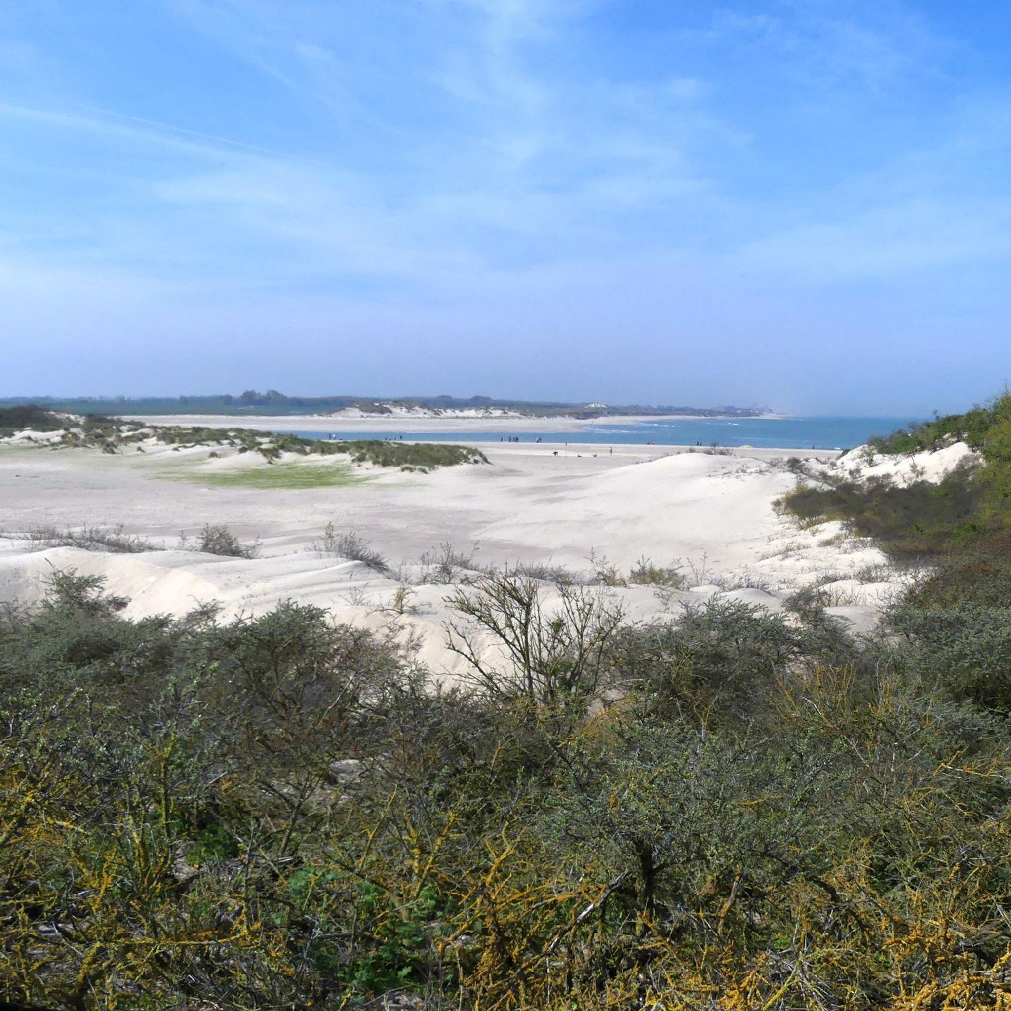
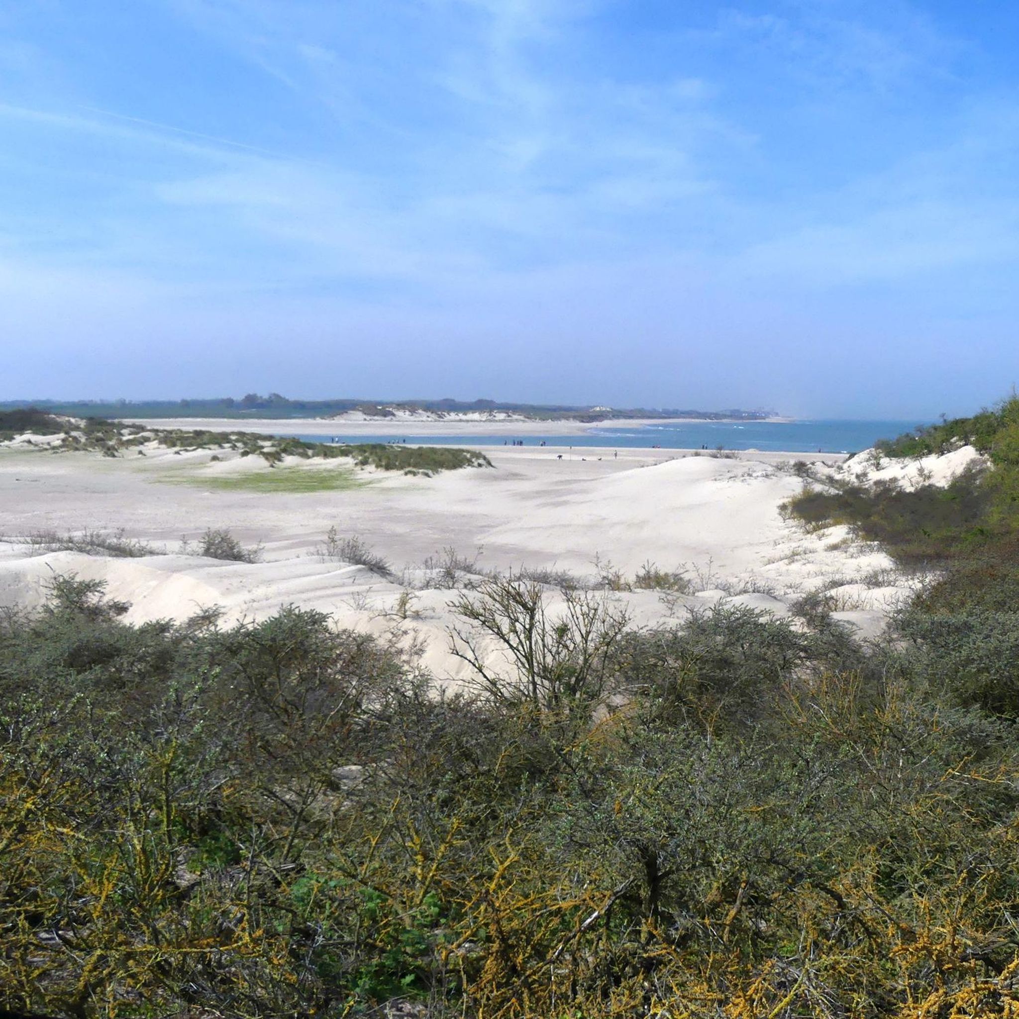
The Zwin is a slufter: a beach plain behind the dunes that is …
Translated by Google •
Tip by

Zwin Nature Reserve
Highlight • Natural Monument
Translated by Google •
Tip by

Sign up now to discover places like this
Get recommendations on the best single tracks, peaks, & plenty of other exciting outdoor places.
Sign up for free
The Zwin
Highlight • Natural Monument
Translated by Google •
Tip by

View of the Zwin Nature Reserve
Highlight • Viewpoint
Translated by Google •
Tip by

Zwin Dunes and Polders
Highlight • Natural
Until the end of the 19th century, these dunes, forests, …
Translated by Google •
Tip by

Sign up for free to discover even more natural monuments around Damme.
Sign up for free
Already have an account?
Start today with a free account
Your next adventure awaits.
Login or Signup
Popular around Damme
By West, East and Zeeuws-Vlaanderen — GR Uilenspiegel
The best of Flanders — the Flanders Route
Winter hiking bliss in Flanders
Flanders by bike – the Iconic Cultural Cycle Routes
Hiking around Damme
Road Cycling Routes around Damme
Cycling around Damme
Running Trails around Damme
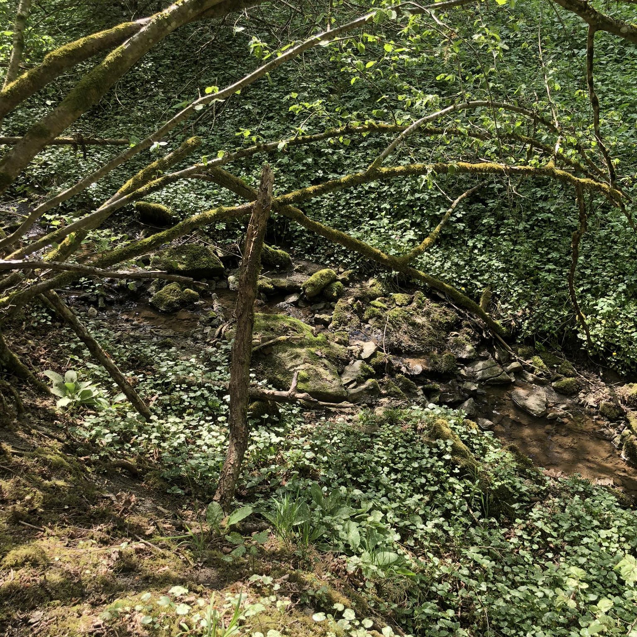
Gravel biking around Damme
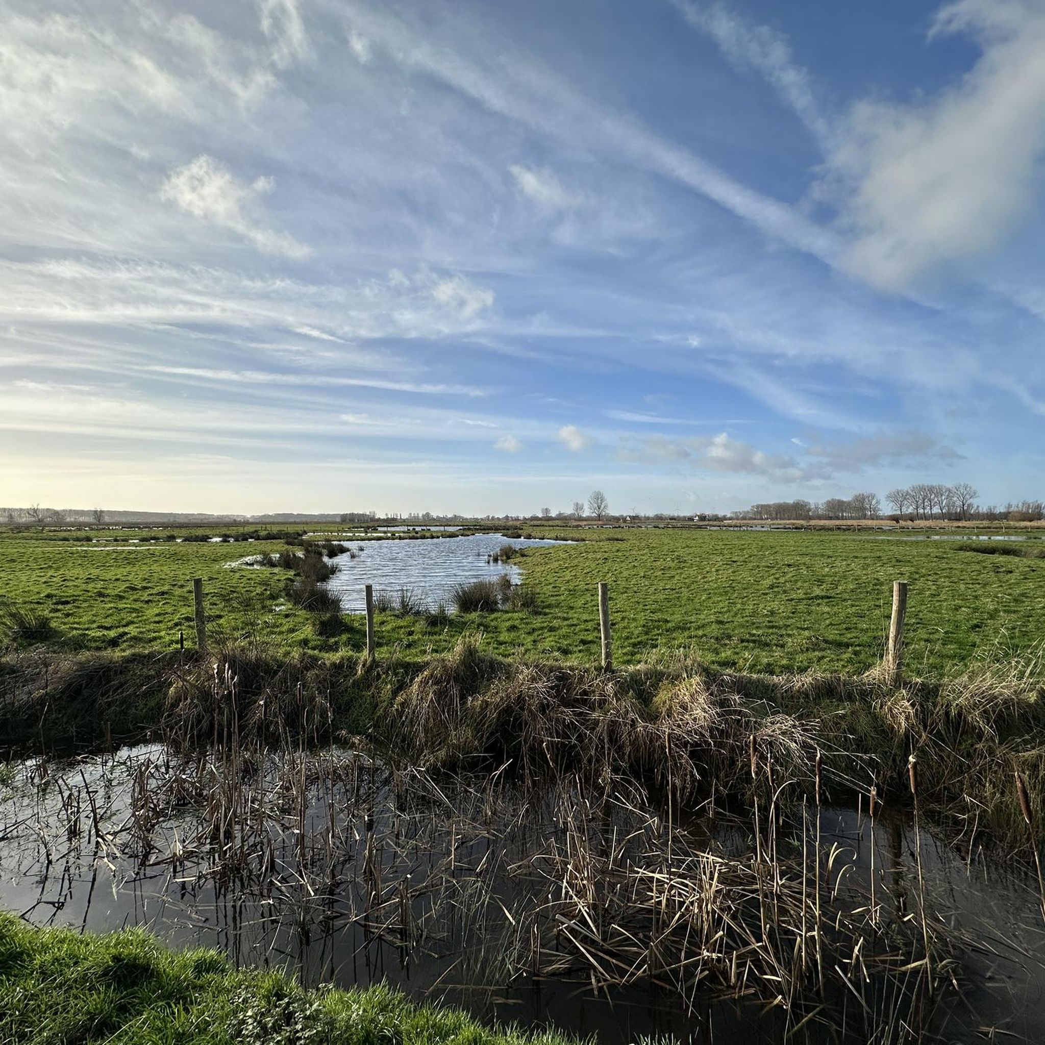
MTB Trails around Damme
Other adventures around Damme


Tips from the Community

Beautiful viewpoint of the nature reserve
0
1

Very beautiful vast nature reserve very close to beach and sea. Walking, running, cycling, horse riding...
2
0

In the 13th and 14th centuries, this sea arm - ’t Zwyn - was an important waterway to Bruges. This waterway was created after the sea had penetrated the land around the beginning of the Christian era. The cities of Bruges, Damme and Sluis were located on the Zwin and became flourishing trading centres. But the channel became increasingly shallow and eventually unnavigable. That is why the Zwin was later largely poldered. Nature then took over here. Source: https://www.hetzeeuwselandschap.nl/natuurgebieden/het-zwin
6
1
In the 13th and 14th centuries, this sea arm - ’t Zwyn - was an important waterway to Bruges. This waterway was created after the sea had penetrated the land around the beginning of the Christian era. The cities of Bruges, Damme and Sluis were located on the Zwin and became flourishing trading centres. But the channel became increasingly shallow and eventually unnavigable. That is why the Zwin was later largely poldered. Nature then took over here. Source: https://www.hetzeeuwselandschap.nl/natuurgebieden/het-zwin
6
0
The Zwin is a slufter: a beach plain behind the dunes that is in open connection with the sea. Directly behind the gully mouth lies a sandy beach, further inward lie dunes and salt marshes. Behind the row of dunes lie two small polders, which are managed by the Zeeuwse Landschap: the Kievittepolder and the Oudelandsepolder. In the Zwinweide, once a side channel of the Zwin, is a very varied area where fresh and salt alternate at a short distance. Thanks to the alternation between wet and dry, salt and fresh, and clay and sand, the entire area has a great variety in vegetation and birds. Source and all information for your visit to this Zeeland side of the Zwin at https://www.hetzeeuwselandschap.nl/natuurgebieden/het-zwin
6
0


The Zwin, whether it is Belgian or Dutch, does not matter, it is a beautiful nature reserve. The Zwin is a slufter: a beach plain behind the dunes that is in open connection with the sea. Directly behind the gully mouth lies a sandy beach, further inward lie dunes and salt marshes. Behind the row of dunes lie two small polders, the Kievittepolder and the Oudelandsepolder.
10
0

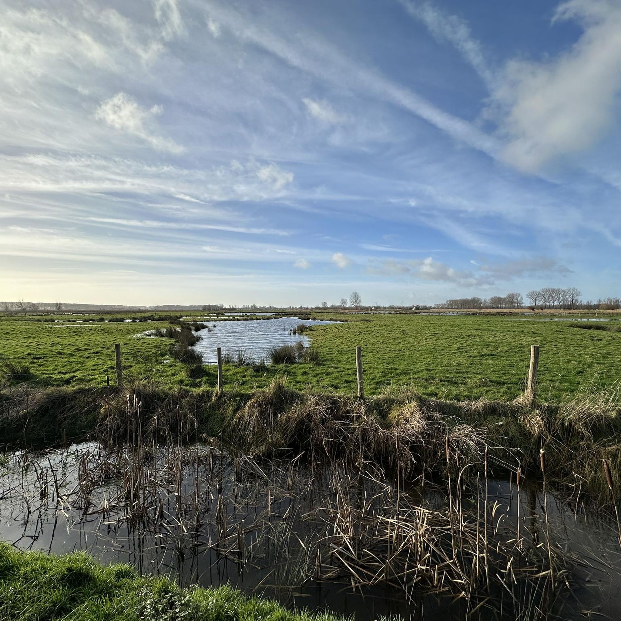
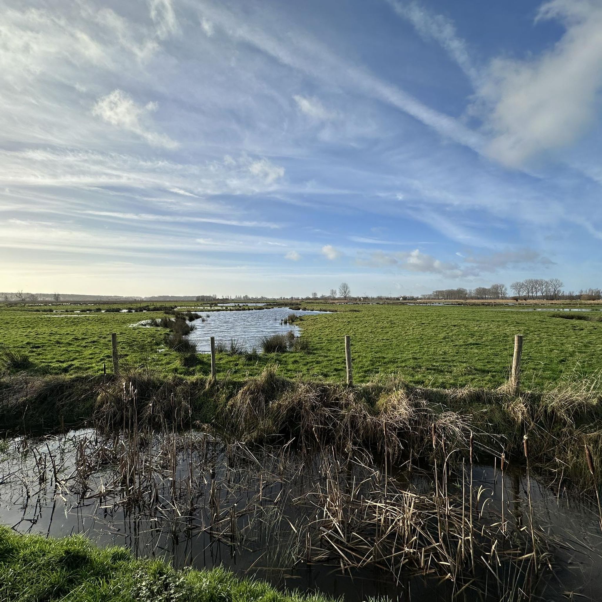
Don't forget to look the other way at beautiful polder landscapes.
16
0
Frequently Asked Questions
What are the primary natural attractions in the Damme region?
The Damme region is characterized by two main natural attractions: the Dammer Berge (Damme Hills), a wooded ridge formed during the Saale ice age, and the Dümmer See (Lake Dümmer), Lower Saxony's second-largest inland lake. Both offer diverse landscapes and ecosystems.
What kind of landscape can I expect in the Dammer Berge?
The Dammer Berge features rolling, wooded hills, primarily coniferous forests with scattered old oak stands. You'll also find meadows, valleys, fields, and spring fens. The highest point is the Signalberg, reaching 146 meters.
What makes the Dümmer See special for nature lovers?
The Dümmer See is a vital biotope and a crucial resting and breeding ground for numerous migratory birds, including up to 100,000 cranes annually, arctic geese, and various waders. Its shallow waters and surrounding fens and bogs create a rich ecosystem for birdwatching.
Are there family-friendly activities available at these natural monuments?
Yes, both the Dammer Berge and Dümmer See offer family-friendly activities. The Dammer Berge is great for easy hikes and cycling, while the Dümmer See provides opportunities for swimming, cycling along the dike path, and exploring birdlife at the Dümmer Vogelschau.
What outdoor activities can I do near the natural monuments in Damme?
Near the natural monuments in Damme, you can enjoy a variety of outdoor activities. The Dammer Berge is ideal for cycling, hiking, and Nordic walking. At the Dümmer See, water sports like swimming are popular, and the Dümmer-Deich-Weg is perfect for cycling and hiking. You can also find running trails and MTB trails in the wider Damme area.
Where can I go for birdwatching in the Damme region?
The Dümmer See is an excellent spot for birdwatching, especially along its 18 km long dike path, the Dümmer-Deich-Weg. Viewpoints like the Dümmer West Viewing Tower offer panoramic views, and the Dümmer Vogelschau in Dümmerlohausen provides more information on local birdlife. The Dammer Berge also hosts species like the Eagle Owl and Black Woodpecker.
What is the Dammer Bergsee and what can I see there?
The Dammer Bergsee is a significant attraction within the Dammer Berge. It's a former clarification pond now designated as a nature reserve. Due to the high iron content in its soil, it boasts a considerable orchid population. The surrounding sand pits are also home to natterjack toads.
Are there any historical aspects to the natural monuments around Damme?
Yes, the Dammer Berge is a remnant of the Saale ice age, formed approximately 200,000 years ago, showcasing significant geological history. The Dammer Bergsee within the hills was once part of an iron ore washing plant, linking it to the region's industrial past before becoming a nature reserve.
What is the Dümmer-Deich-Weg?
The Dümmer-Deich-Weg is an 18 km long dike path around the Dümmer See. It's popular for cycling and hiking, offering excellent opportunities for birdwatching and panoramic views of the lake and its surrounding wetlands.
Can I go canoeing near the natural monuments?
Yes, the Hunte River, which flows through the Dümmer See, offers scenic canoeing opportunities. This allows you to experience the landscape shaped by the Ice Age from a unique perspective on the water.
What unique flora and fauna can be found in the Damme natural monuments?
In the Dammer Berge, you might encounter a large stag beetle population in the stream valleys and spring fens, as well as Eagle Owls and Black Woodpeckers. The Dammer Bergsee is known for its considerable orchid population and natterjack toads. The Dümmer See is a haven for migratory birds, including cranes and arctic geese.
What are the best viewpoints in the Damme natural monument areas?
For panoramic views of the Dümmer See and the Olgahafen wetlands, the Dümmer West Viewing Tower is highly recommended. The Dümmer-Deich-Weg also offers continuous scenic views around the lake.
Most popular attractions around Damme

Get inspired with the komoot mobile app


Explore more
Extend your search for the best caves by checking out these guides of the top ones around Damme:
