The best road cycling routes around Langensendelbach
4.5
(3164)
37,146
riders
725
rides
Road cycling routes around Langensendelbach offer diverse terrain, from flat, paved paths along river valleys to challenging ascents in hilly regions. Situated in Bavaria, the area features green hills, forests, and quiet roads suitable for road cyclists. The nearby Regnitz Valley provides leisurely cycling options, while the proximity to Franconian Switzerland offers routes with significant elevation gains and scenic views. This blend of landscapes caters to various skill levels, with well-maintained surfaces throughout the region.
Best road cycling routes around…
Last updated: October 1, 2026
4.6
(56)
692
riders
56.5km
02:25
230m
230m
Moderate road ride. Good fitness required. Some segments of this route may be unpaved and difficult to ride.
4.7
(146)
574
riders
30.8km
01:18
170m
170m
Moderate road ride. Great for any fitness level. Some segments of this route may be unpaved and difficult to ride.

4.7
(70)
1,015
riders
79.2km
03:05
150m
150m
Moderate road ride. Good fitness required. Some segments of this route may be unpaved and difficult to ride.
5.0
(7)
176
riders
Moderate road ride. Good fitness required. Mostly well-paved surfaces and easy to ride.
5.0
(1)
142
riders
Easy road ride. Great for any fitness level. Mostly well-paved surfaces and easy to ride.
Get access to more routes and recommendations from other explorers.
Already have an account?
Our route recommendations are based on thousands of hikes, rides, and runs completed by other people on komoot.
Start today with a free account
Your next adventure awaits.
Tips from the Community

Since 2022, their own beer under the name Entla's Bräu has been brewed directly in the mountain at the Entlas Keller in Erlangen. Although the historic cellar vault was already carved into the rock in 1686 by Heinrich Windisch as the first rock cellar of the Burgberg, the underground labyrinth served exclusively for the maturation and cool storage of beer for centuries. The cellar landlord Vincenz Schiller's own microbrewery, installed deep in the mountain, was a long-cherished project that was completed in the winter of 2021 after construction delays and has been supplying the taproom with its own beer since the 2022 season.
1
0

Since mid-2026 there has been a new cycle bridge between Baiersdorf/Wellerstadt and Hausen. This way you can now conveniently cross the Regnitz without disruptive car traffic.
0
0

Seemingly endless cycle path along the canal
0
0

Beautiful area for hiking and walking
0
0

The Lila Brücke in Forchheim, often called "Lila Steg", is a cable-stayed bridge built in 2002 for pedestrians and cyclists, connecting the district of Burk with the grammar schools and the sports island across the Main-Donau Canal. Crosses the Main-Donau Canal between Burk and the school center. Structure: 117 meter long cable-stayed construction
3
0

Super well-developed cycle path - great to ride
0
0
The canal is always a super highlight for cycling - wonderfully developed cycle paths
0
0
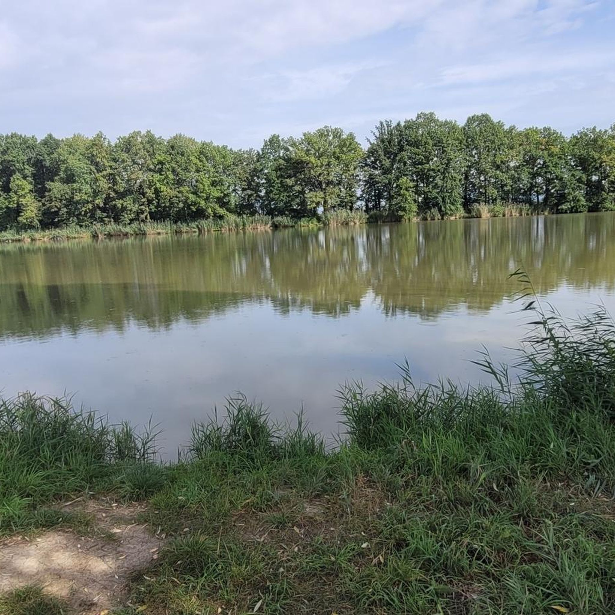
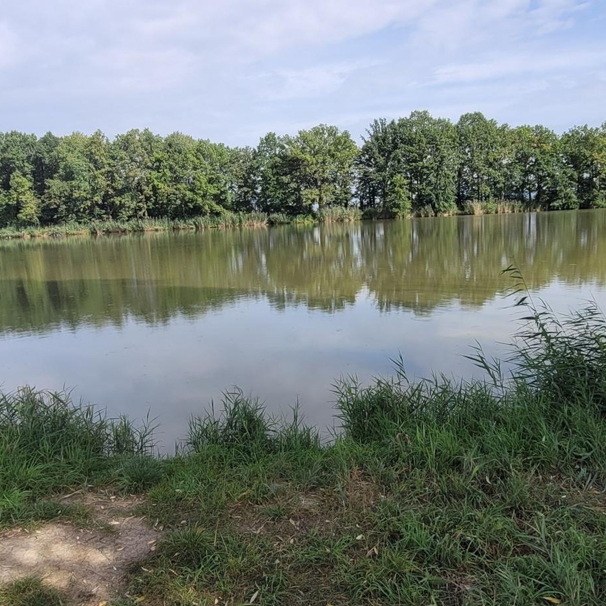
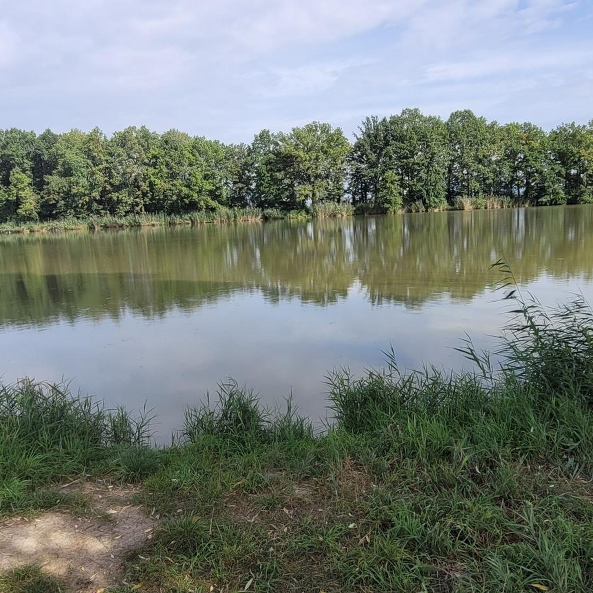
There are always a lot of anglers there
0
0
Frequently Asked Questions
What kind of terrain can I expect on road cycling routes near Langensendelbach?
The region around Langensendelbach offers a diverse range of terrain for road cyclists. You'll find comfortable, flatter rides along river valleys like the Regnitz Valley and the Main-Danube Canal, which are ideal for leisurely tours. For those seeking more challenge, the proximity to Franconian Switzerland provides routes with significant climbs and descents, featuring rolling green hills and scenic valleys.
How many road cycling routes are available around Langensendelbach?
There are over 700 road cycling routes available around Langensendelbach, catering to various skill levels. This includes approximately 150 easy routes, over 460 moderate routes, and more than 100 difficult routes, ensuring options for every type of road cyclist.
Are there easy road cycling routes suitable for beginners or relaxed rides?
Yes, Langensendelbach offers several easy road cycling routes. These often feature minimal elevation changes and well-paved surfaces, making them perfect for beginners or those looking for a relaxed ride. An example is the Poppendorf–Heroldsbach Cycle Path – Schamel Horseradish Museum loop from Baiersdorf, which is an easy 27.2 km route.
Where can I find more challenging road cycling routes with significant climbs?
For challenging routes with significant climbs, head towards Franconian Switzerland. This area is known for its hilly terrain and offers strenuous rides with considerable elevation gains. A difficult route that leads into this region is the View of Pottenstein – View of Pottenstein Castle loop from Baiersdorf, which covers over 105 km with substantial ascents.
What natural features or scenic viewpoints can I discover along the routes?
Road cycling routes around Langensendelbach often lead through beautiful natural landscapes. You can expect to ride through unspoilt forests, along meandering rivers, and past green hills. In the hilly areas bordering Franconian Switzerland, routes often provide magnificent viewpoints. For instance, the 'Walberla' (Ehrenbürg) offers great views, including the View of the Wiesent Valley from the Walberla, after a climb.
Are there any interesting landmarks or attractions along the road cycling routes?
Yes, several routes pass by interesting landmarks. For example, you might encounter the St. Walburga's Chapel and Statue on the Walberla Plateau, or the Rodenstein Summit (Ehrenbürg — South Peak). The historic Forchheim Town Hall and Town Hall Square are also accessible via some routes, offering a glimpse into local culture.
What do other road cyclists enjoy most about road cycling in Langensendelbach?
The road cycling experience in Langensendelbach is highly rated by the komoot community, with an average score of 4.6 stars from over 2,500 reviews. Cyclists often praise the diverse terrain, from the flat, well-paved paths along the Regnitz Valley to the challenging and scenic roads of Franconian Switzerland. The generally quiet roads and well-maintained surfaces also contribute to an enjoyable ride.
What is the best time of year for road cycling in Langensendelbach?
The best time for road cycling in Langensendelbach is generally from spring to autumn. During these seasons, the weather is most favorable, with pleasant temperatures and less precipitation, making for ideal riding conditions. The landscapes are particularly vibrant in spring and autumn, offering beautiful scenery.
Are there any circular road bike routes in the area?
Yes, many road cycling routes around Langensendelbach are designed as loops, allowing you to start and end at the same point. An example is the View of Dechsendorfer Weiher – Dechsendorf–Röttenbach Cycle Path loop from Bubenreuth, a popular 56.7 km route that follows cycle paths through varied landscapes.
Can I access road cycling routes using public transport in Langensendelbach?
Langensendelbach is situated in a region with public transport connections, which can be utilized to reach starting points for cycling routes. For detailed information on specific routes and their accessibility via public transport, it's advisable to check local transport schedules and regulations regarding bicycle carriage.
Are there options for long-distance road cycling near Langensendelbach?
Yes, the region offers options for longer road cycling tours. Routes like the Main-Danube Canal Path – Cycle Path to Hirschaid loop from Bubenreuth, which is nearly 80 km, provide extended riding experiences. The proximity to the Regnitz Valley Cycle Route and Franconian Switzerland also allows for combining sections to create longer, multi-day tours.
Are there any specific regulations for cyclists in the Langensendelbach area?
Cyclists in the Langensendelbach area should adhere to general German traffic laws, including using designated cycle paths where available, obeying traffic signs, and ensuring their bikes are equipped with proper lighting and reflectors, especially during dawn, dusk, or poor visibility. Always be mindful of pedestrians and other trail users.
Most popular routes around Langensendelbach
Most popular attractions around Langensendelbach

Get inspired with the komoot mobile app


Explore more
Browse the best Road cycling routes in other regions.
