Top 10 Natural Monuments around Teora
Natural monuments around Teora include a variety of geological formations and elevated viewpoints within the Upper Irpinia area. The region features picturesque landscapes and unique natural attractions. Visitors can explore sites that blend natural beauty with local cultural significance, offering opportunities for outdoor activities. The area provides a range of natural features for those seeking to appreciate the regional landscape.
Best natural monuments around Teora
- The most popular natural monuments is The rock church of Madonna del Fiume, a…
Last updated: October 29, 2026
The rock church of Madonna del Fiume
Highlight • Religious Site
Located inside a karst cave, which can be accessed …
Translated by Google •
Tip by

Monte Cervialto
Highlight • Summit
Translated by Google •
Tip by

Sign up now to discover places like this
Get recommendations on the best single tracks, peaks, & plenty of other exciting outdoor places.
The Bard'natore Waterfall
Highlight • Waterfall
Translated by Google •
Tip by
On the ridge of Mount Altillo
Highlight • Summit
Translated by Google •
Tip by
The cross on Mount Altillo
Highlight • Summit
Translated by Google •
Tip by
Sign up for free to discover even more natural monuments around Teora.
Already have an account?
Start today with a free account
Your next adventure awaits.
Tips from the Community

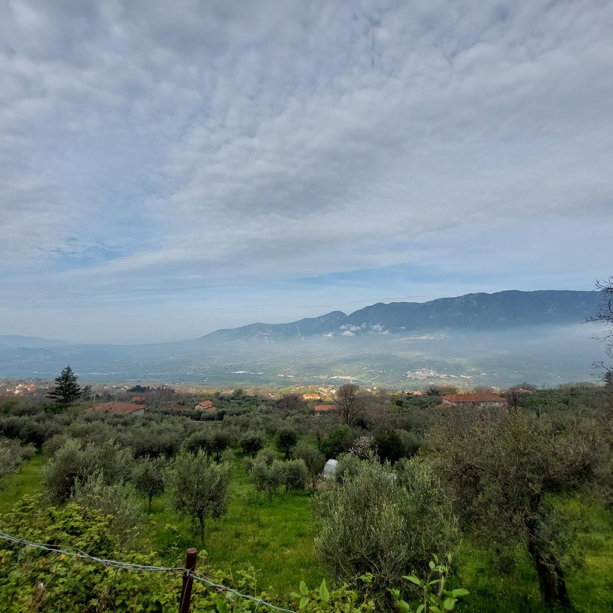
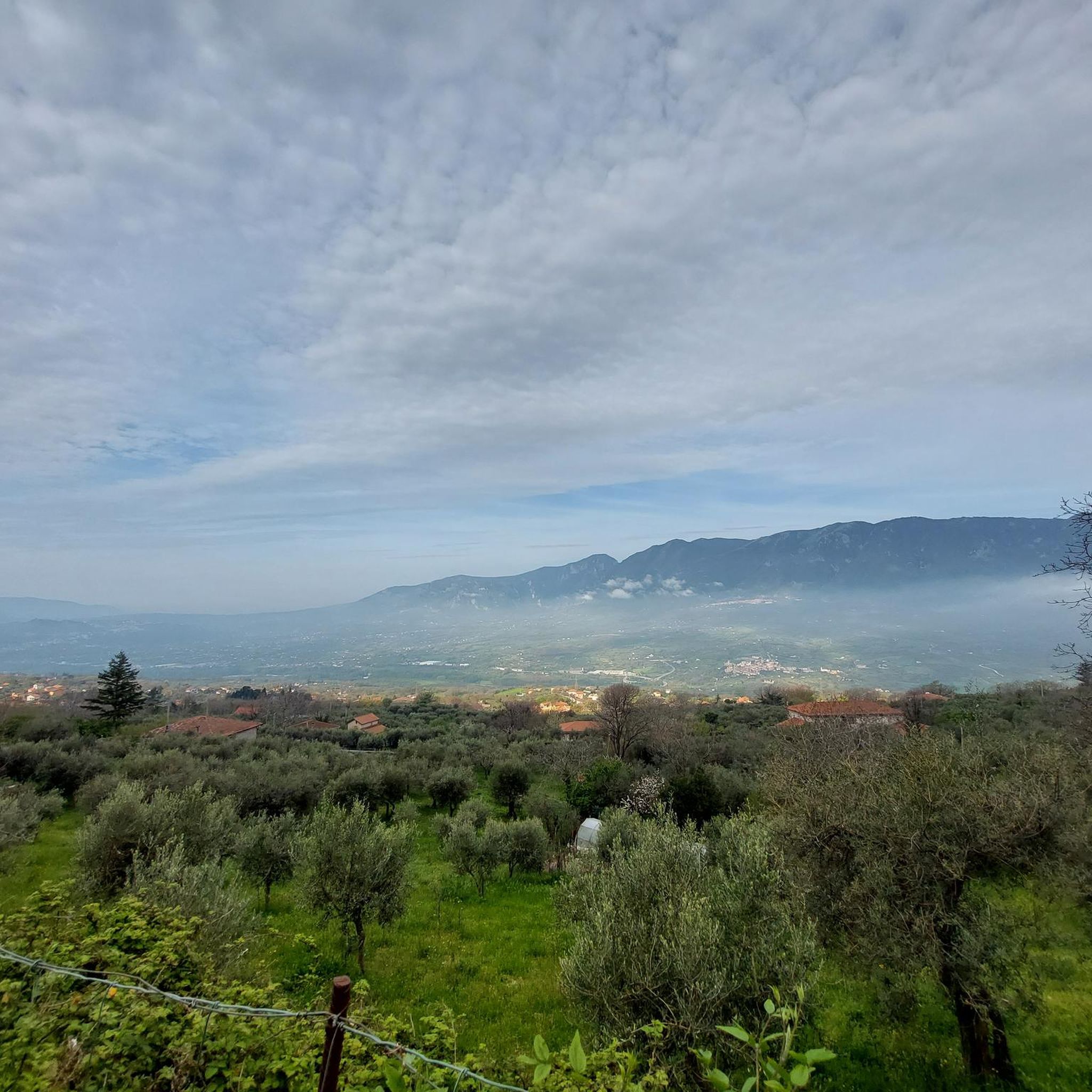
Cervialto represents the highest peak of the Picentini mountains and is the fourth highest peak in Campania after La Gallinola in Matese (1923 meters), Cervati (1899 meters) and Mutria (1823 meters), as well as the largest in the province of Avellino. The mountain extends between the municipalities of Calabritto and Bagnoli Irpino. The summit is the border point between the two municipalities. The characteristic summit sinkhole between the summit and the sub-peak falls within the municipality of Bagnoli Irpino (IGM 1:25,000). Cervialto is known above all thanks to its proximity to the Laceno plateau (Laceno lake), a well-known tourist destination, from which it is 3.6 km away. Cervialto is surrounded by Mount Rajamagra (1,667 m) where there are ski lifts, by Mount Cervarolo, by Mount Piscacca or Magnone, by Montagnone di Nusco, by Cervarulo, by Calvello and, on the Salernitano side, by the Polveracchio massif. The Colle del Leone, the Ripe del Moggio, the Montagna Grande and the Colle del Sagrestano form the backdrop to the series of "high mountains". On one of the peaks, there is the radio station of the Firefighters of the Lioni section. ... https://it.wikipedia.org/wiki/Monte_Cervialto
1
0
Some information: infoirpinia.it/santuario-della-madonna-del-fiume-calabritto-percorso-trekking
3
0

Monte Cervialto with its 1809 m above sea level is the highest peak in the Picentini area. From the summit you can enjoy a spectacular panorama from the Tyrrhenian Sea to the peaks of the Lattari Mountains, from the Amalfi Coast to the Alburni Mountains, from the top of Monte Cervati in Cilento to the other peaks of the Picentini.
5
0
Trekking clothing and footwear are required as well as sufficient experience.
4
0
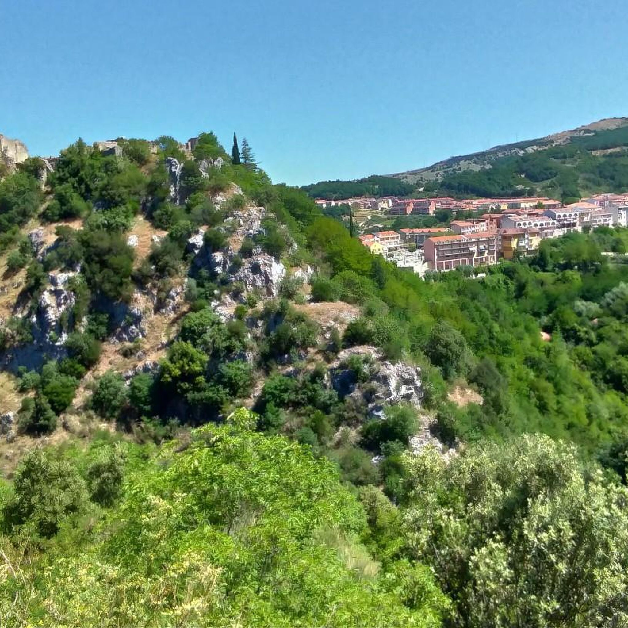
The municipality of Calabritto is dominated by Monte Altillo (1563 meters) which dominates the Sele Valley. To reach the top you have to cross beautiful chestnut and beech woods with moderate slopes. The climb starts from the sanctuary of the Madonna della Neve located a little less than a thousand meters above sea level. where you can park your cars. In the distance you can see the Lattari mountains of the Amalfi coast with the unmistakable silhouette of Sant'Angelo ai Tre Pizzi. The journey can be difficult and tiring for novice hikers, so the presence of expert hikers is strongly recommended. https://www.walking-trekking.it/monte-Altillo.htm#:~:text=The%20town%20of%20Calabritto%20%C3%A8,of%20beech%20with%20discrete%20slopes.
4
0
The municipality of Calabritto is dominated by Monte Altillo (1563 meters) which dominates the Sele Valley. To reach the top you have to cross beautiful chestnut and beech woods with moderate slopes. The climb starts from the sanctuary of the Madonna della Neve located a little less than a thousand meters above sea level. where you can park your cars. In the distance you can see the Lattari mountains of the Amalfi coast with the unmistakable silhouette of Sant'Angelo ai Tre Pizzi. The journey can be difficult and tiring for novice hikers, so the presence of expert hikers is strongly recommended. https://www.walking-trekking.it/monte-Altillo.htm#:~:text=The%20town%20of%20Calabritto%20%C3%A8,of%20beech%20with%20discrete%20slopes.
4
0
From Calabritto along the Madonna del Fiume path you can make a small detour and reach the Bard'natore waterfall with its 5 jumps. The journey, 100-150m, is rather impervious and care must be taken. Hiking clothing and sturdy shoes are required. https://infoirpinia.it/santuario-della-madonna-del-fiume-calabritto-percorso-trekking/
5
0
To reach it, trekking clothing and sturdy shoes are recommended.
5
0
Frequently Asked Questions
What natural features can I expect to see around Teora?
The Teora area, nestled in Upper Irpinia, offers a variety of natural features including impressive summits, multi-tiered waterfalls, and unique karst caves. Notable examples include the five-drop Bard'natore Waterfall, the karst cave housing The rock church of Madonna del Fiume, and the panoramic peak of Monte Cervialto.
Are there any cultural or historical sites integrated with the natural monuments in Teora?
Yes, The rock church of Madonna del Fiume is a significant example. This 17th-century church is located within a karst cave, accessible via a nature trail, and represents a unique blend of faith and nature. It's also associated with local legends and traditions.
What kind of views can I expect from the mountain peaks around Teora?
From peaks like Monte Cervialto, which stands at 1809 meters, you can enjoy spectacular panoramic views. These vistas often stretch from the Tyrrhenian Sea to the Lattari Mountains, the Amalfi Coast, the Alburni Mountains, and even to Monte Cervati in Cilento, as well as other peaks within the Picentini range.
What outdoor activities can I do near the natural monuments around Teora?
The region around Teora is excellent for various outdoor activities, especially cycling and mountain biking. You can find numerous routes for touring bicycles, mountain bikes, and road cycling. For example, there are challenging touring routes like the 'View of Guardia dei Lombardi – Ofanto Bridge loop' and MTB trails such as the 'Fountain of Health loop'. You can explore more options in the Cycling around Teora, MTB Trails around Teora, and Road Cycling Routes around Teora guides.
Are the trails to natural monuments around Teora suitable for beginners?
Some trails, particularly to sites like The Bard'natore Waterfall or On the ridge of Mount Altillo, can be challenging and are not always recommended for novice hikers. They may involve impervious sections or moderate to steep slopes. Appropriate trekking attire, sturdy shoes, and sometimes the presence of expert hikers are strongly advised.
What should I wear when visiting the natural monuments in Teora?
Given that many trails involve challenging terrain, especially to sites like The Bard'natore Waterfall or The rock church of Madonna del Fiume, trekking clothing and sturdy shoes are highly recommended for your safety and comfort.
Is there parking available near the natural monuments?
For some locations, such as the starting point for the climb to Monte Altillo, parking is available. For instance, you can park your car at the sanctuary of the Madonna della Neve, which is a common starting point for trails leading to On the ridge of Mount Altillo.
What is the best time of year to visit the natural monuments around Teora?
While specific seasonal advice isn't detailed, the region's natural beauty, including waterfalls and panoramic views, suggests that spring and autumn would offer pleasant temperatures for hiking and vibrant landscapes. Summer can also be suitable, especially for higher elevations, but always check local conditions.
Are there any unique local legends associated with the natural monuments?
Yes, a fascinating local legend is linked to The rock church of Madonna del Fiume. It's believed that if an expectant mother drinks water dripping from a breast-shaped stalactite within the cave, she will be assured of abundant milk. This makes it a pilgrimage site for pregnant women, particularly on Monday in Albis.
What kind of terrain will I encounter on trails to natural monuments in Teora?
You will encounter varied terrain, from nature trails leading to caves and waterfalls to paths through chestnut and beech woods on mountain slopes. Some sections, like the journey to The Bard'natore Waterfall, can be impervious, while climbs to summits like On the ridge of Mount Altillo feature moderate slopes.
How long does it typically take to visit a natural monument like the Bard'natore Waterfall?
The journey to The Bard'natore Waterfall itself is relatively short, about 100-150 meters from the main path. However, the overall time will depend on your starting point, the trail you choose to reach the area, and how much time you spend exploring the waterfall and the nearby rock church of Madonna del Fiume.
Most popular attractions around Teora

Get inspired with the komoot mobile app


Explore more
Extend your search for the best caves by checking out these guides of the top ones around Teora:
