Top 20 Natural Monuments around Guiglia
Best natural monuments around Guiglia are found within a landscape characterized by the Modenese hills and the Panaro valley. This region, often called the "Balcony of Emilia," features significant geological formations and rich biodiversity. The area encompasses varied terrain, including ancient chestnut groves, woodlands, and distinctive sandstone peaks. It is recognized for its natural beauty and diverse habitats, offering numerous opportunities for outdoor activities.
Best natural monuments around Guiglia
- The most popular natural monument is Monte Tre Croci, a…
Last updated: July 11, 2026
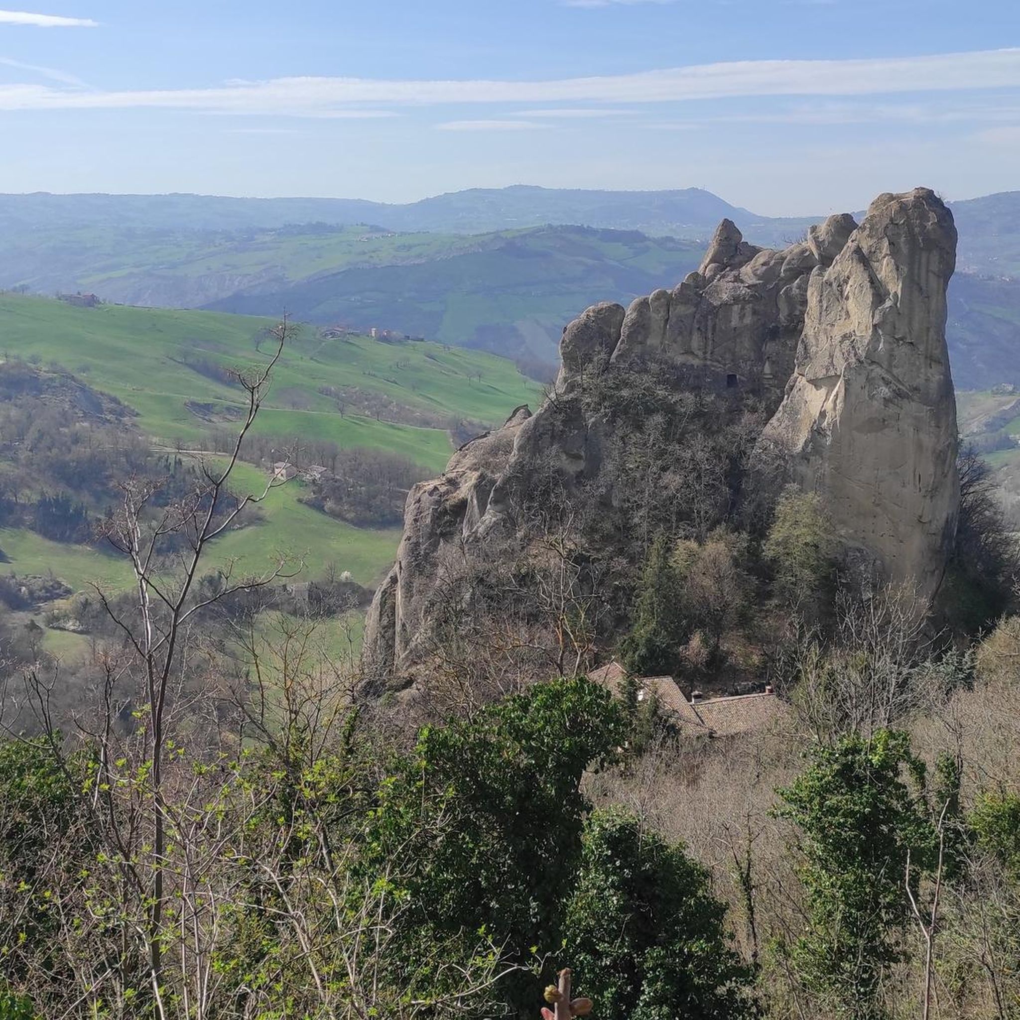
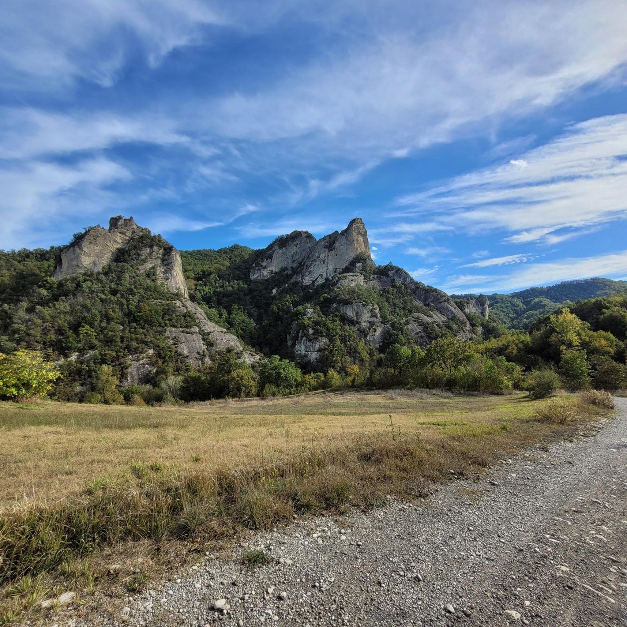
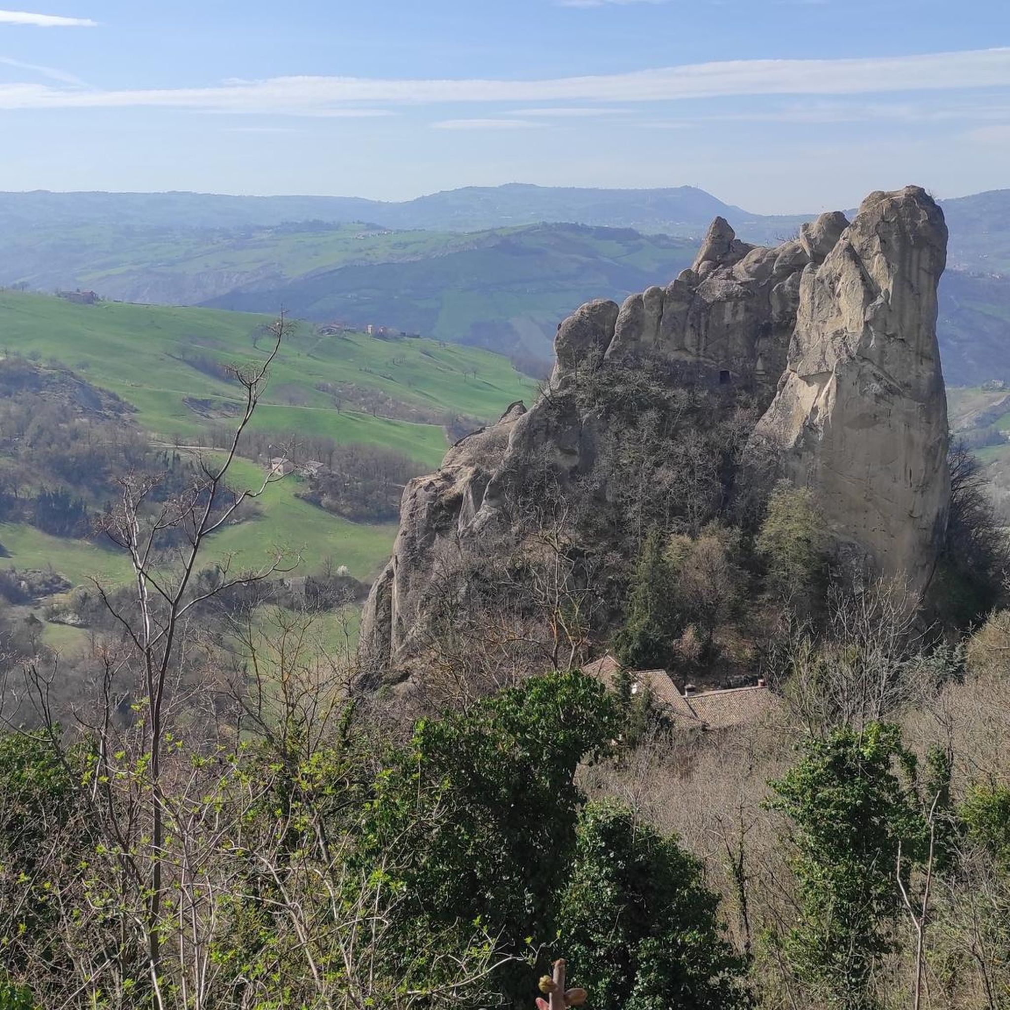
Sassi di Roccamalatina
Highlight • Natural Monument
Translated by Google •
Tip by

Monte Tre Croci
Highlight • Summit
We advance through the downy oak woods and take the path that leads to Monte delle Tre Croci, passing along the ridge. …
Translated by Google •
Tip by

Sign up now to discover places like this
Get recommendations on the best single tracks, peaks, & plenty of other exciting outdoor places.
Sign up for free
Bucamante Waterfalls
Highlight • Waterfall
Translated by Google •
Tip by

Cucherla Hill
Highlight • Summit
Translated by Google •
Tip by

Sasso di Sant'Andrea
Highlight • Natural Monument
No equipment required, as you get directly to the top of the stone from the access path.
Attention to …
Translated by Google •
Tip by

Sign up for free to discover even more natural monuments around Guiglia.
Sign up for free
Already have an account?
Start today with a free account
Your next adventure awaits.
Login or Signup



Tips from the Community

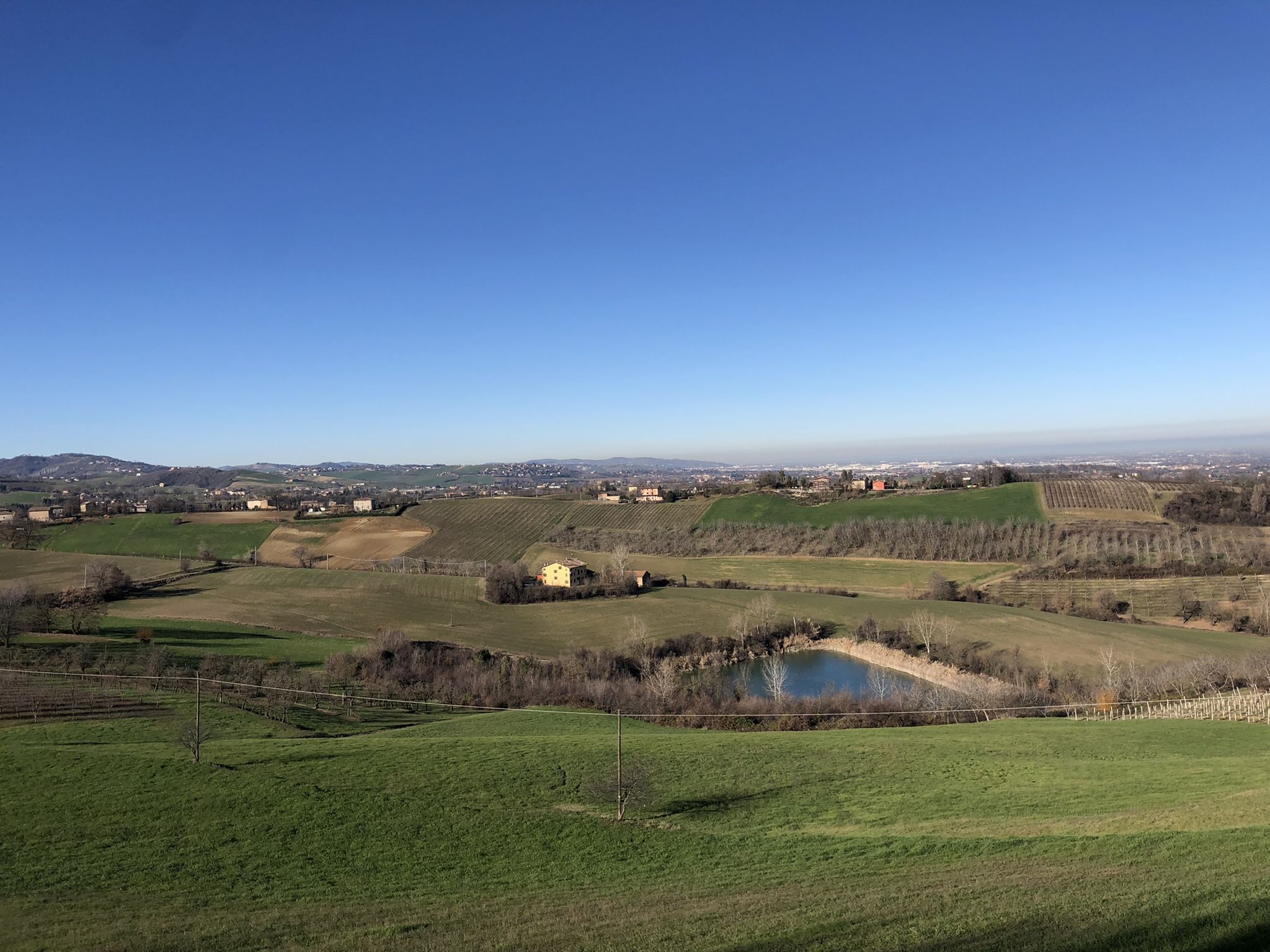
Badlands on the Cucherla Hill
0
0

..."From the top of the Sasso you can enjoy a wide panorama that embraces the vast expanse of the Po Valley to the north and to the south, in a closer glimpse, the Montecorone valley."... ..."The herbaceous undergrowth layer of the mesophyte formations is home to numerous species belonging to the list of protected regional flora; there are numerous species of orchids and liliaceae."... Cit: https://www.parchiemiliacentrale.it/parco.sassi.roccamalatina/punti-interest-natura-dettaglio.php?id=184
0
0

August 2023, the heavy rains of the past months made parts of the "low" path unusable. If before accessing it was within everyone's reach, including children, now it requires greater attention.
1
0

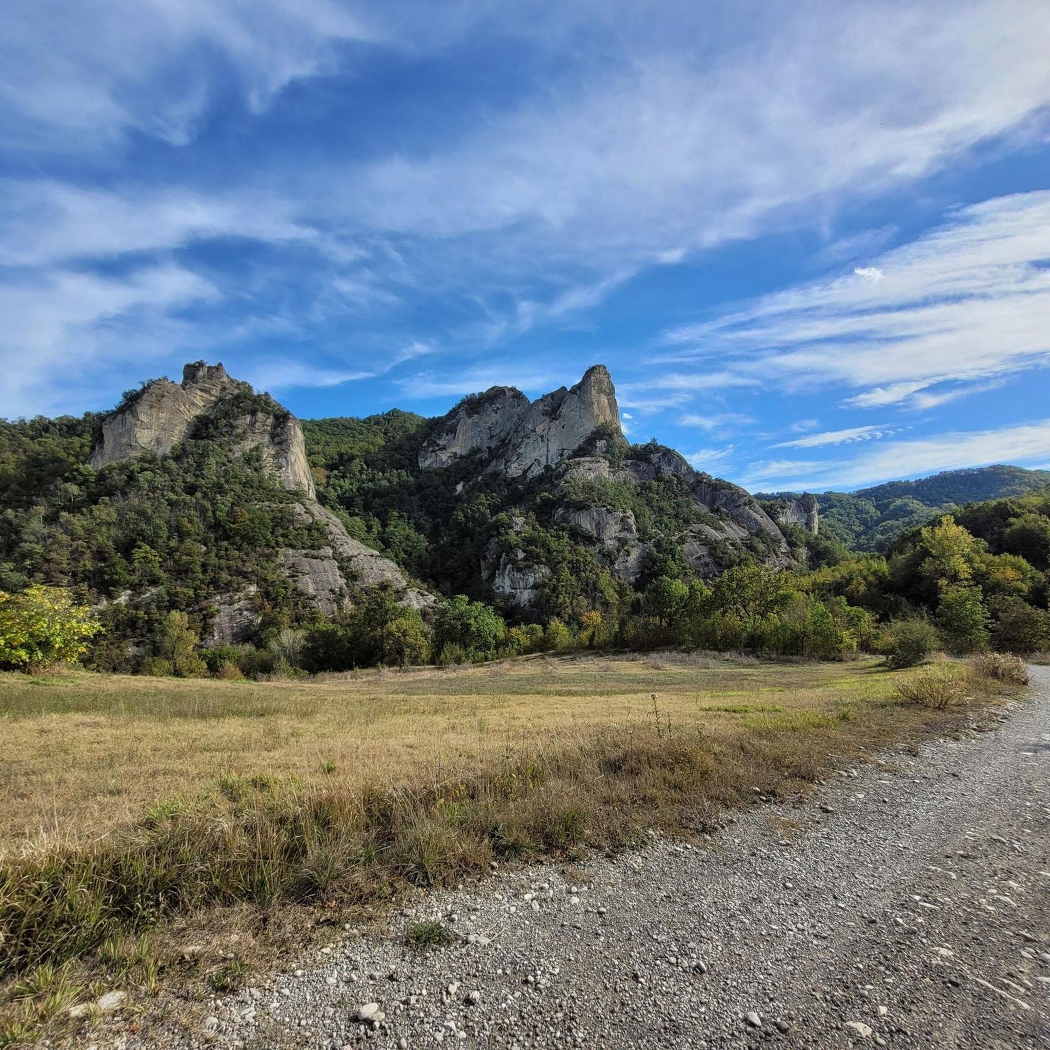
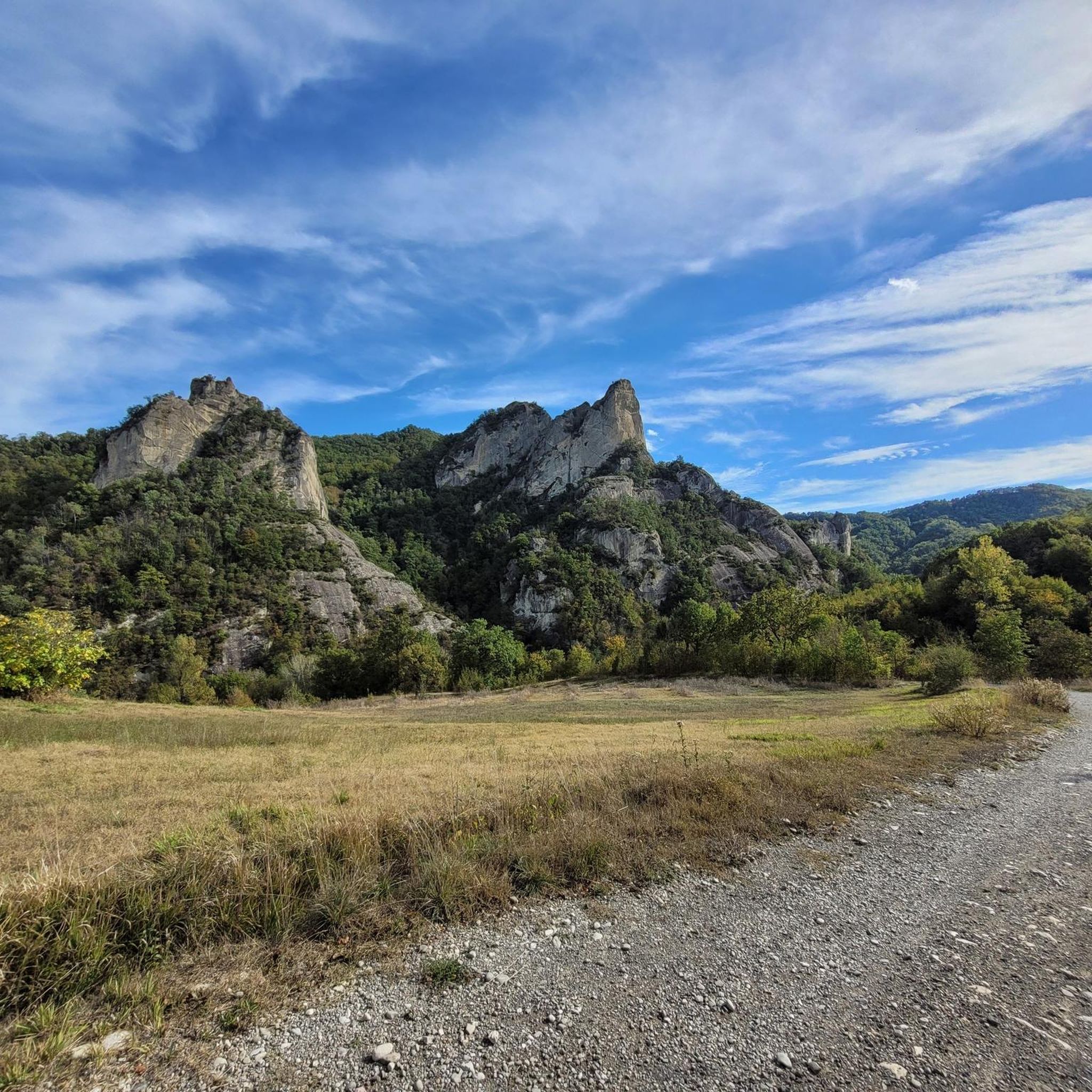
From the road, take the dirt road that takes you to the visitor center. For centuries these stones have been used as a military defensive point. First came the Byzantines then the Malatigni family in medieval times. There are paths both on foot and by MTB to see the stones from different angles.
2
0

on the "summit" there are two picnic tables
0
0

The path, short and circular, develops on the slopes of the hill facing the castle and combines the interest relating to the traditional landscape of the hill with the historical one linked to the fortifications which in medieval times completed the defensive system of the castle of Monteveglio, affecting precisely the Cucherla hill (296 m) and other nearby reliefs. It, called Monte Calvario between the 17th and 18th centuries due to its bare appearance and a cross on the top, housed the chapel known as the Madonna della Cucherla. Today the top of the relief, which can be reached by skirting an ancient vineyard, is covered by a coppice of downy oak and manna ash. In spring and early summer, various species of orchids, all protected, bloom in the brightest spots. On the southern slope, thanks to the favorable microclimate, specimens of fig, almond and olive trees grow. Source: https://enteparchi.bo.it/itinerary-2-salita-a-monte-gennaro/
1
0
Very nice, a "massive" peak
0
0
Frequently Asked Questions
What unique geological features can I explore around Guiglia?
The most prominent geological features are the Sassi di Roccamalatina, imposing sandstone peaks that rise dramatically from the landscape. These 'stone towers' were sculpted by erosion and have historical significance. You can also observe badlands on Cucherla Hill, which showcases the region's varied geological formations.
Are there any regional parks dedicated to natural monuments near Guiglia?
Yes, the **Sassi di Roccamalatina Regional Park** is a significant natural area near Guiglia. It spans approximately 2,300 hectares, featuring diverse landscapes from ancient chestnut groves to distinctive geological formations. The park is recognized for its high biodiversity and extensive network of trails.
What kind of wildlife can I expect to see in the natural areas around Guiglia?
The Sassi di Roccamalatina Regional Park is rich in wildlife. You might spot badgers, porcupines, foxes, and roe deer. The Sassi di Roccamalatina themselves are a historic nesting ground for raptors like the Peregrine falcon and a wintering site for the rare wallcreeper.
Are there family-friendly natural attractions or trails around Guiglia?
Yes, the Sassi di Roccamalatina Regional Park offers family-friendly options. The Ponticelli Trail, with its 21 wooden footbridges, is particularly popular with families. While the path to Bucamante Waterfalls can be tricky in places, the cooler air along the stream provides a nice escape from summer heat, and the legend of the 'HOLE OF LOVERS' adds an interesting story for older children.
What historical or cultural sites are integrated with the natural monuments?
Beyond natural beauty, the Sassi di Roccamalatina Regional Park includes medieval villages like Borgo dei Sassi (Rocca di Sopra) and historical sites such as the 11th-century Romanesque Pieve di Trebbio. The Sassi di Roccamalatina themselves served as fortified settlements from ancient times, and Cucherla Hill also has historical ties to medieval defensive systems.
Can I go hiking near the natural monuments in Guiglia?
Absolutely. The Sassi di Roccamalatina Regional Park boasts over 100 kilometers of marked pathways. You can find numerous hiking routes, including those around the Sassi di Roccamalatina. For more detailed options, explore the Hiking around Guiglia guide, which features routes like the 'Sassi di Roccamalatina Trail from Pieve di Trebbio'.
Are there opportunities for other outdoor activities besides hiking?
Yes, the area around Guiglia is suitable for various outdoor activities. You can find running trails and gravel biking routes. The extensive trail network within the Sassi di Roccamalatina Regional Park is also popular for mountain biking and horseback riding.
What is the Sofia Horse Chestnut and why is it notable?
The Sofia Horse Chestnut is a remarkable natural monument within Guiglia's municipal boundaries. It stands as tall as a three-story building with branches extending over 70 meters, providing impressive shade. It's also known for a unique historical connection, reportedly used by a German unit during World War II to conceal ammunition and set up an open-air school.
What makes Monte Tre Croci a popular natural monument?
Monte Tre Croci is a popular summit offering a splendid view of the Modenese plain at the foot of the hills. It is particularly beautiful when low fog makes its peak appear as a suspended island, creating a truly unique and picturesque scene.
What can I expect when visiting the Bucamante Waterfalls?
The Bucamante Waterfalls offer a scenic path near the river with many cascades. While the individual falls may not be massive, the environment is very pleasant, providing a nice escape from summer heat. The path along the stream is a charming walk, though it can be tricky in some sections.
Is the Sasso di Sant'Andrea accessible for visitors?
Yes, Sasso di Sant'Andrea is quite accessible. The access path to this 'massive' peak is practically flat and well-signposted from the paved road. You can reach the top directly without special equipment, making it a relatively easy natural monument to visit.
What is the best time of year to visit the natural monuments around Guiglia?
The Sassi di Roccamalatina Regional Park and its natural monuments offer immersive experiences throughout the seasons. Spring and early summer are particularly vibrant with orchids, anemones, and other wildflowers. The Sassi di Roccamalatina are a popular hiking destination, especially in summer, and the Bucamante Waterfalls provide a cool retreat during warmer months.
Most popular attractions around Guiglia

Get inspired with the komoot mobile app


Explore more
Extend your search for the best caves by checking out these guides of the top ones around Guiglia:
