Sierra Norte De Guadalajara
Sierra Norte De Guadalajara
Top 15 Mountain Passes in Sierra Norte De Guadalajara
Best mountain passes in Sierra Norte De Guadalajara are located in a captivating mountain range in the north of the province of Guadalajara, Spain. This region connects the Central System with the Iberian System, featuring diverse landscapes including dense forests, high peaks, and river basins. The Sierra Norte de Guadalajara is a protected natural area, offering a rich diversity of flora and fauna. It provides a backdrop of wild landscapes and opportunities for various outdoor activities.
Best mountain passes in…
Last updated: May 15, 2026
Ascent to Collado del Aventadero
Highlight (Segment) • Mountain Pass
Translated by Google •
Tip by

The ridge meadow
Highlight • Mountain Pass
Translated by Google •
Tip by

Sign up now to discover places like this
Get recommendations on the best single tracks, peaks, & plenty of other exciting outdoor places.
Sign up for free
Puerto de la Quesera
Highlight • Mountain Pass
Translated by Google •
Tip by
East ascent to Ocejón
Highlight • Mountain Pass
Translated by Google •
Tip by
Collado del Puerto de los Infantes
Highlight • Mountain Pass
Translated by Google •
Tip by

Sign up for free to discover even more mountain passes in Sierra Norte De Guadalajara.
Sign up for free
Already have an account?
Start today with a free account
Your next adventure awaits.
Login or Signup
Popular around Sierra Norte De Guadalajara
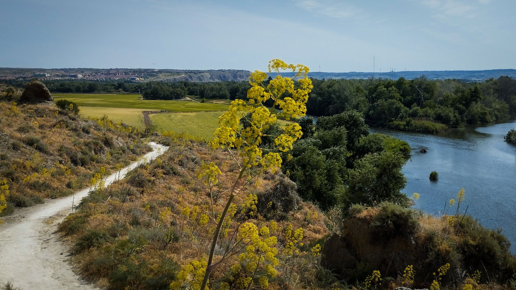
Unexpectedly wild – Jarama on a gravel bike

The Black Towns – Sierra Norte de Guadalajara on foot (GR 60)
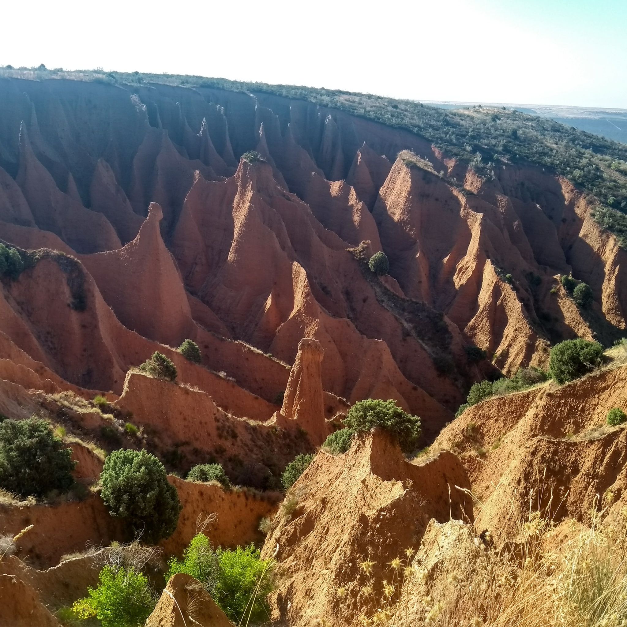
Hiking in Sierra Norte De Guadalajara
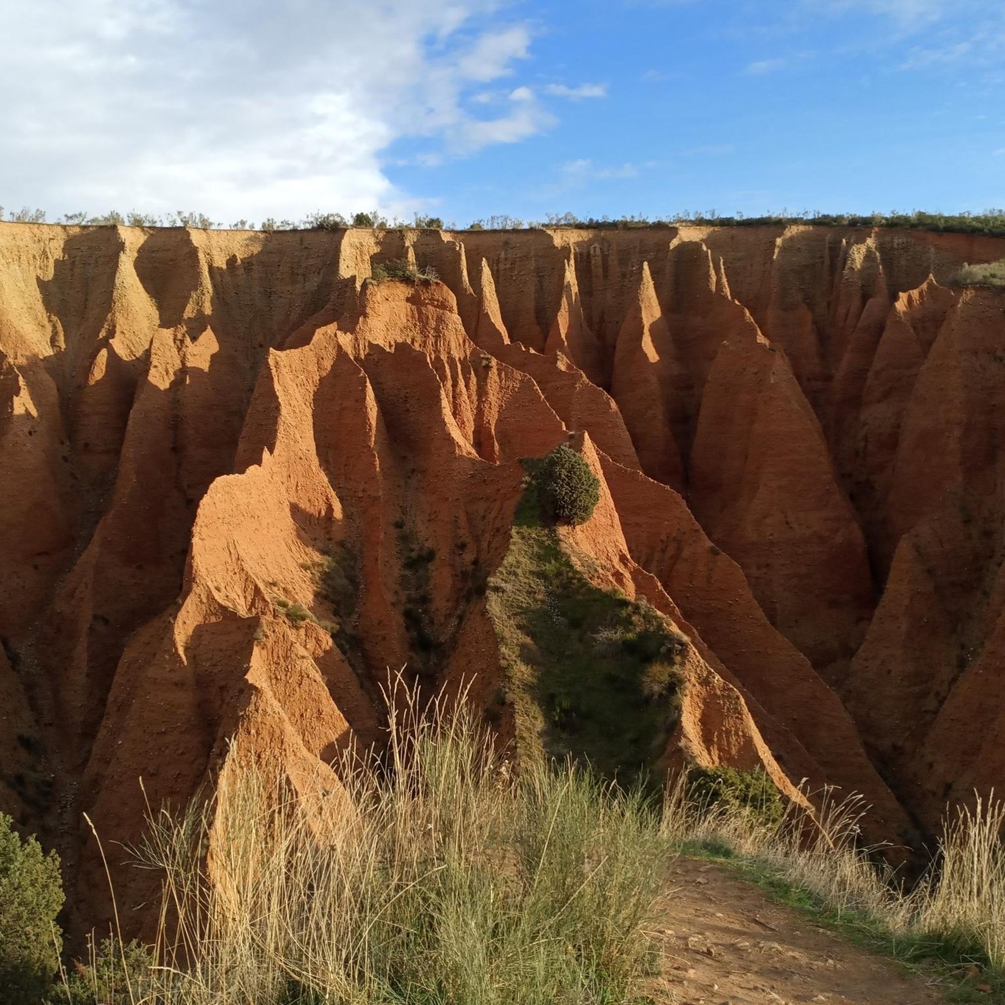
Running Trails in Sierra Norte De Guadalajara
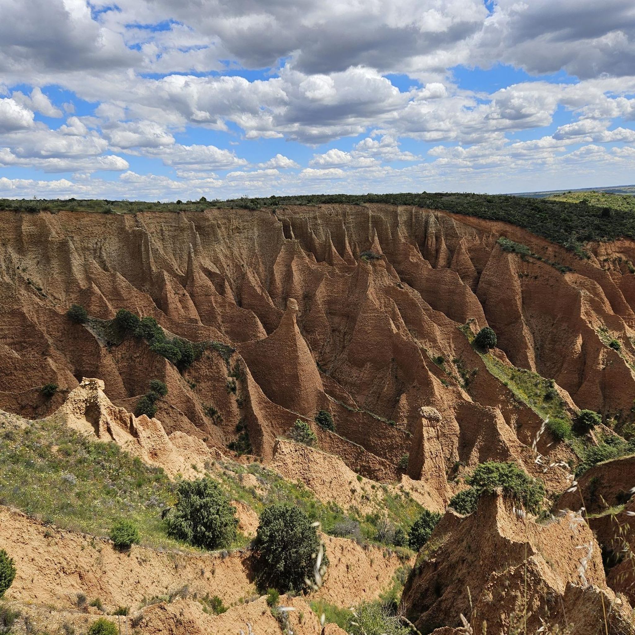
Road Cycling Routes in Sierra Norte De Guadalajara
Cycling in Sierra Norte De Guadalajara
MTB Trails in Sierra Norte De Guadalajara
Gravel biking in Sierra Norte De Guadalajara
Other adventures in Sierra Norte De Guadalajara


Tips from the Community

Place between Segovia and Guadalajara that is the starting point for many routes.
0
0

The climb to Pico Ocejón via the eastern slope is a popular route that begins in Valverde de los Arroyos. This route is known for its spectacular scenery and the opportunity to enjoy nature at its best.
4
0
Pico del Lobo Trail. Nature in the air.
0
1
It is the crossroads that, leaving from Puerto de La Quesera or La Pinilla, take us to Pico del Lobo and its surroundings.
0
1
The ridge meadow in Majaelrayo is a very popular hiking route in the Sierra Norte de Guadalajara, Castilla-La Mancha. This route is known for its impressive views and its connection to Pico Ocejón, one of the highest peaks in the area at 2,049 meters above sea level.
4
0
It is the Collado del GR 60 on the way up to Ocejón through Peña Mala.
1
0
The Collado de La Madita or Las Campanitas is a privileged place to observe the Landscape of the Sierra de Guadalajara, as well as the Black Villages that are in the valley area.
1
0

We are at 1,484 meters of altitude with splendid views of the area that surrounds the Collado del Puerto de los Infantes. From this point you can continue towards the Valdebecerril peak (1,766 m) following the fence that separates the provinces of Segovia and Guadalajara. You will be surprised by the magnificent views of the Hayedo de Tejera Negra Natural Park.
2
0
Frequently Asked Questions
What are some of the most scenic mountain passes in Sierra Norte de Guadalajara?
The Sierra Norte de Guadalajara offers several passes with impressive views. Puerto de la Quesera is known for its expansive vistas and marks the border between two provinces. The ridge meadow (Collado de La Madita) near Majaelrayo provides impressive views and a mosaic of surrounding hills, especially on the way to Pico Ocejón. Additionally, the East ascent to Ocejón from Valverde de los Arroyos offers spectacular scenery.
Are there mountain passes suitable for cycling in the region?
Yes, several mountain passes in Sierra Norte de Guadalajara are popular with cyclists. Puerto de la Quesera is particularly notable for its challenging climb and significant gradients. Puerto de La Hiruela also features an excellent road surface and low traffic, making it enjoyable for cycling. For more cycling routes, you can explore our guide to Cycling in Sierra Norte De Guadalajara.
Which mountain passes are good starting points for hiking to higher peaks?
Many passes serve as excellent starting points for more challenging hikes. The Ascent to Collado del Aventadero acts as a crossroads connecting to Pico del Lobo and its surroundings. The ridge meadow (Collado de La Madita) is a popular route connected to Pico Ocejón. The East ascent to Ocejón from Valverde de los Arroyos is another well-known route to the highest peak in the area.
What kind of natural features can I expect to see around these mountain passes?
The Sierra Norte de Guadalajara is a protected natural area with diverse landscapes. Around the passes, you'll find dense forests, high peaks, and river basins. The region is known for its rich flora and fauna. For example, Collado del Puerto de los Infantes offers magnificent views of the Hayedo de Tejera Negra Natural Park, a renowned beech forest.
Are there any family-friendly options or easier passes to explore?
While many passes offer intermediate to challenging routes, some areas provide more accessible experiences. The region's charming villages and natural parks offer a backdrop for gentler walks. For specific family-friendly hiking trails, it's recommended to check local information or guides focused on easier routes in the Sierra Norte de Guadalajara.
What is the best time of year to visit the mountain passes in Sierra Norte de Guadalajara?
The best time to visit depends on your activity. Spring and autumn generally offer pleasant temperatures for hiking and cycling, with vibrant foliage in autumn and blooming flora in spring. Summer can be warm but is popular for high-altitude treks. Winter offers opportunities for snow activities, especially around higher passes like those leading to Pico del Lobo, but requires appropriate gear and caution due to snow and ice.
Can I find parking near the mountain passes?
Yes, some mountain passes offer parking facilities. For instance, Puerto de la Quesera is noted to have parking available, making it a convenient starting point for various routes. For other passes, parking might be available in nearby villages or designated areas, though it's always advisable to check specific locations beforehand.
Are there opportunities for mountain biking near the passes?
Absolutely. The Sierra Norte de Guadalajara is a great destination for mountain biking. You can find various routes, including those that incorporate mountain passes. For detailed information on trails and their difficulty, refer to our guide on MTB Trails in Sierra Norte De Guadalajara.
What kind of accommodation or amenities are available near the mountain passes?
The region features charming villages that offer amenities such as cafes, pubs, and accommodation. For example, Puerto de La Hiruela provides an opportunity to stop at the beautiful town of La Hiruela. Exploring towns like Majaelrayo or Valverde de los Arroyos, which are common starting points for routes, will also provide options for lodging and dining.
Are there any specific regulations for hiking or visiting the passes, such as permits?
The Sierra Norte de Guadalajara is a protected natural area. While general access to most passes doesn't typically require permits, specific areas like the Hayedo de Tejera Negra Natural Park might have regulations, especially during peak seasons, to manage visitor numbers. It's always best to check with local visitor centers or park authorities for the most current information regarding permits or specific rules for protected zones.
What makes the routes around Pico Ocejón particularly special?
The routes around Pico Ocejón, the highest peak in the area at 2,049 meters, are highly celebrated for their breathtaking mountain landscapes and natural beauty. The ridge meadow in Majaelrayo is a very popular hiking route connected to Pico Ocejón, offering impressive views. The eastern slope ascent to Pico Ocejón from Valverde de los Arroyos is also renowned for its spectacular scenery and immersive nature experience.
Can I combine a visit to a mountain pass with a waterfall hike?
Yes, the Sierra Norte de Guadalajara offers opportunities to combine different outdoor activities. Some routes to mountain passes might be near areas with waterfalls. For specific trails that feature waterfalls, you can consult our guide on Waterfall hikes in Sierra Norte De Guadalajara.
Most popular routes in Sierra Norte De Guadalajara
Most popular attractions in Sierra Norte De Guadalajara

Get inspired with the komoot mobile app


Explore more
See even more epic mountain passes by checking out these guides in Sierra Norte De Guadalajara:
