Top 3 Lakes around Þjóðgarðurinn á Þingvöllum
Best lakes around Þjóðgarðurinn á Þingvöllum are characterized by their unique geological setting within a rift valley, marking the boundary between the North American and Eurasian tectonic plates. The region features Þingvallavatn, Iceland's largest natural lake, and the Silfra fissure, a submerged rift known for its exceptional clarity. These aquatic features are notable for their ecological distinctiveness and geological significance. The area offers insights into the Mid-Atlantic Ridge's processes and supports unique aquatic life.
Best lakes around Þjóðgarðurinn á Þingvöllum
…Last updated: May 14, 2026
Thingvellir National Park
Highlight • Natural Monument
Translated by Google •
Tip by

Silfra Fissure
Highlight • Gorge
Translated by Google •
Tip by

Sign up now to discover places like this
Get recommendations on the best single tracks, peaks, & plenty of other exciting outdoor places.
Sign up for free
Þingvallavatn
Highlight • Lake
Translated by Google •
Tip by

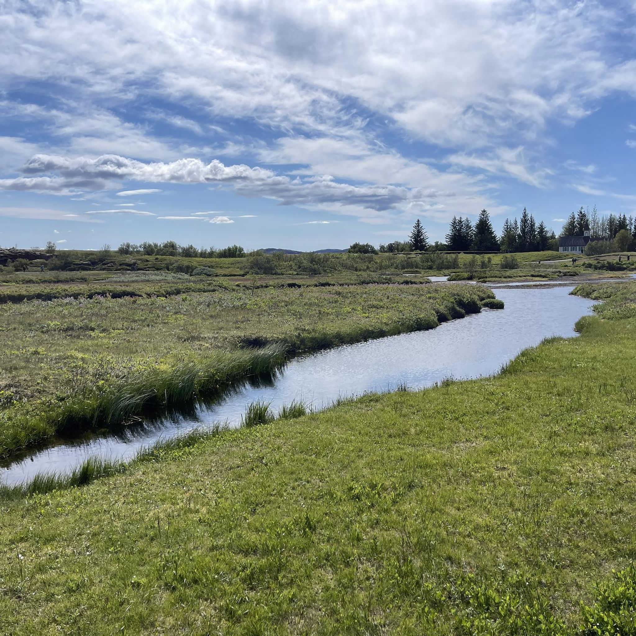
Goose Pond at Thingvellir National Park
Highlight • Lake
Translated by Google •
Tip by
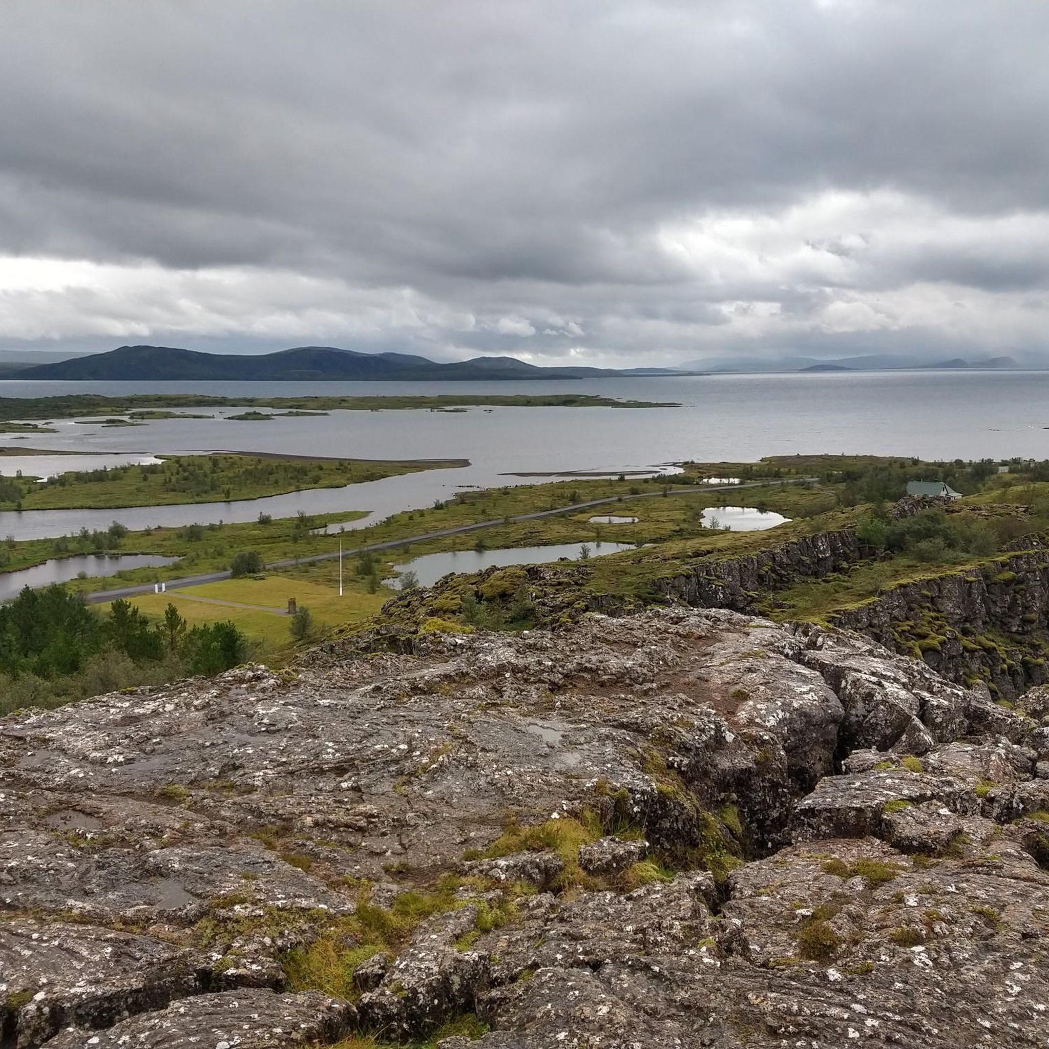
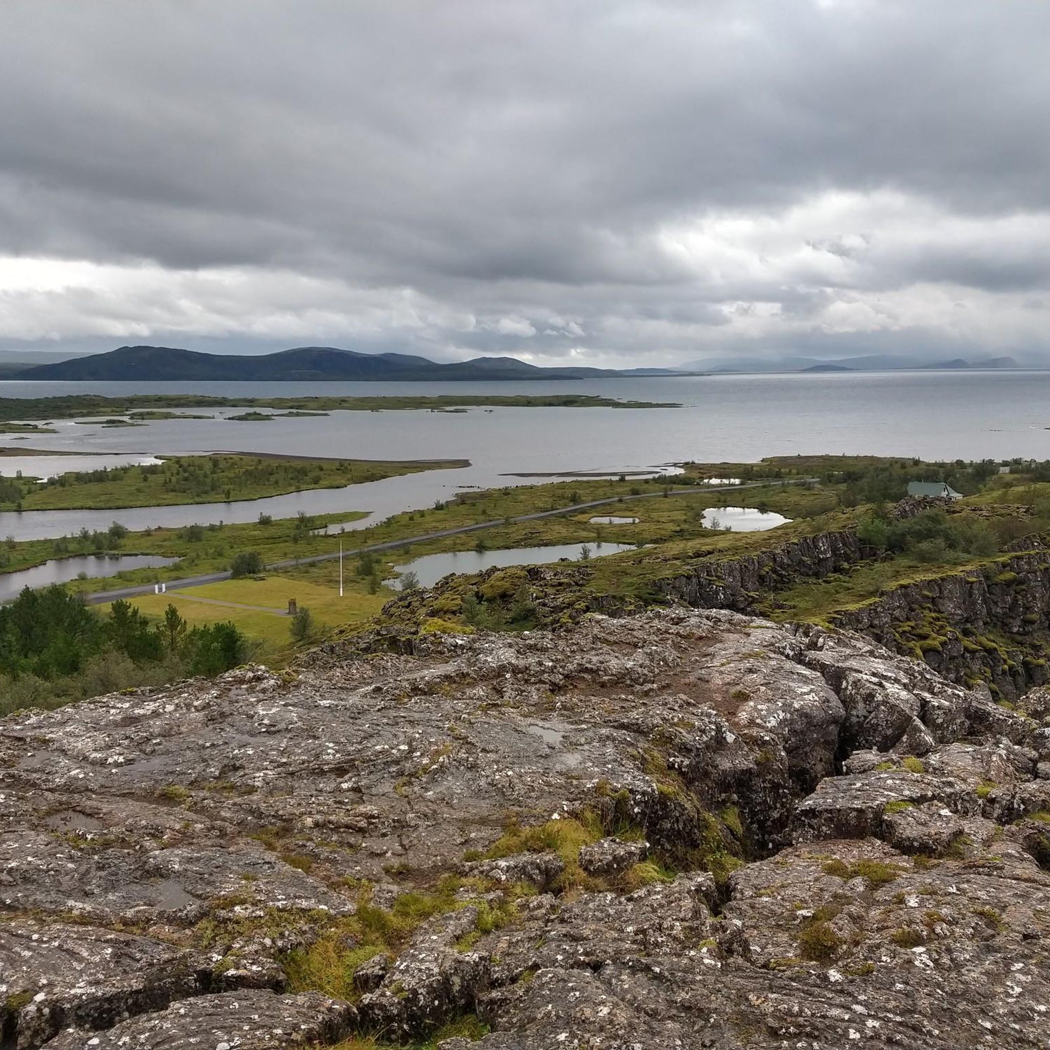
View of the Thingvellir Rift and Lake Thingvallavatn
Highlight • Viewpoint
Translated by Google •
Tip by

Start today with a free account
Your next adventure awaits.
Login or Signup
Popular around Þjóðgarðurinn á Þingvöllum
Tips from the Community

It's much quieter here by the lake than near the parking lots. It's also a lovely spot for a break with a beautiful view.
1
0

Here you see Iceland falling apart – and yet your relationship drama seems bigger.
0
0

The lake lies in the so-called Þingvellir Rift and is surrounded by four active volcanic systems: Prestahnúkur and Hrafnabjörg in the northeast, and Hengill and Hrómundartindur in the southwest. The lake is estimated to be about 12,000 years old, making it the first glacial lake to have formed at the end of the last ice age. It was initially a glacial lake. At the end of the last ice age, the glacier blocked the water's outflow. Eventually, the glaciers retreated, the land beneath the Hengill volcano rose, and the lake deepened.
1
0
It's really busy with groups of people snorkeling in unison - it spoils the otherwise beautiful view of the crystal-clear water a bit, but it's entertaining.
1
0

There are some water birds here.
0
0

Very nice place with lots of parking spaces and entrances. The P2 parking lot is generally very full, as most people intuitively use it due to its proximity to the waterfall. All the places you can visit there are therefore very well distributed. There are also good quality toilets there. Many tour operators offer day trips in small group buses.
5
0

Snorrabud is an important historical site, located in Þingvellir National Park. It is the founding location of Iceland as it was the site of the country's first parliament. The views from here are absolutely stunning. You can even go diving here if you're brave enough to brave the icy waters, where you can see the tectonic plates from a completely different perspective.
9
0
A wide, quite stony path along the left bank of the river.
9
0
Frequently Asked Questions
What unique geological features can I explore around the lakes?
The region is defined by its geological significance. You can literally see the boundary between the North American and Eurasian tectonic plates. The Silfra Fissure, located within Þingvallavatn, is a dramatic crack where these plates are pulling apart, offering an unparalleled view of this geological process. Additionally, Þingvallavatn itself lies in the Þingvellir Rift, surrounded by active volcanic systems.
Are there opportunities for diving or snorkeling in the lakes?
Yes, the Silfra Fissure is world-renowned for diving and snorkeling. Its glacial meltwater is filtered through porous lava rock, resulting in some of the clearest water globally, with visibility often exceeding 100 meters. This allows for a unique experience of swimming directly between the North American and Eurasian tectonic plates.
What kind of fish can I find in Þingvallavatn?
Þingvallavatn is a popular spot for angling, particularly known for its unusually large brown trout and Arctic charr. These species have evolved in isolation for thousands of years, making them a unique feature of the lake's ecosystem.
Are there family-friendly areas or activities near the lakes?
Absolutely. Thingvellir National Park, which encompasses the main lakes, is very family-friendly. You can enjoy easy walks along the Almannagjá gorge, visit historical sites, and find beautiful viewpoints. The Goose Pond at Thingvellir National Park also offers a pleasant, wide path along the river, suitable for families to explore and observe water birds.
What outdoor activities, like hiking or cycling, are available near the lakes?
The area around the lakes offers various outdoor activities. For cycling, you can explore routes like the 'View of Þingvallavatn loop' or the 'Flosagjá Fissure – Thingvellir Church loop'. If you prefer running, there are trails such as the 'Öxarárfoss – Flosagjá Fissure loop'. For hiking, consider the 'Öxarárfoss – Thingvellir National Park loop'. You can find more details on these and other routes in the Cycling around Þjóðgarðurinn á Þingvöllum, Running Trails around Þjóðgarðurinn á Þingvöllum, and Waterfall hikes around Þjóðgarðurinn á Þingvöllum guides.
What is the best time of year to visit the lakes around Þjóðgarðurinn á Þingvöllum?
The lakes are beautiful year-round, but the best time depends on your preferred activities. Summer (June to August) offers milder weather, longer daylight hours, and easier access to all trails and activities like angling. Spring and autumn provide stunning colors and fewer crowds. Winter offers a unique, serene landscape, though some activities might be limited due to snow and ice.
What historical significance do the lakes and surrounding area hold?
The area, particularly Thingvellir National Park, is of immense historical importance. It is the site of the Almannagjá (All People's Gorge), where the Icelandic Parliament (Alþingi) was established in 930 AD, making it one of the oldest parliamentary institutions in the world. The legal texts were read out along the Lögberg, a wide path within the gorge. Snorrabud is another significant historical site within the park.
Can I go wild swimming in the lakes?
While the water in areas like Silfra Fissure is incredibly pure and clear, it is also very cold, typically 2°C – 4°C year-round. Swimming in Silfra is generally done as part of guided snorkeling or diving tours with appropriate dry suits. For general wild swimming, the cold temperatures of Þingvallavatn make it less common, but some brave individuals do take quick dips.
What makes the water in Silfra Fissure so clear?
The exceptional clarity of the water in Silfra Fissure is due to its source: glacial meltwater from the Langjökull glacier. This water filters through porous underground lava rock for 30-100 years before reaching the fissure. This natural filtration process removes impurities, resulting in water so pure that visibility can exceed 100 meters.
Are there easy walking trails around the lakes?
Yes, there are several easy walking options. The paths within Thingvellir National Park, particularly around the Almannagjá gorge and leading to the historical sites, are generally wide and well-maintained. The path along the Goose Pond is also a wide, relatively easy walk, offering beautiful views and opportunities for birdwatching.
What do visitors particularly enjoy about the lakes in this region?
Visitors frequently highlight the stunning natural beauty and the unique geological experience. The feeling of standing between tectonic plates at Thingvellir National Park and the unparalleled clarity of the water in Silfra Fissure are often mentioned. Many also appreciate the tranquility and beautiful views offered by Þingvallavatn, especially away from the main parking areas.
Are there any cafes or amenities near the lakes?
Yes, within Thingvellir National Park, there are facilities available, including visitor centers that often house cafes and restrooms. These amenities are typically located near the main parking areas and popular viewpoints, providing convenient stops during your visit to the lakes.
Most popular routes around Þjóðgarðurinn á Þingvöllum
Most popular attractions around Þjóðgarðurinn á Þingvöllum

Get inspired with the komoot mobile app


Explore more
Still not found your perfect lake around Þjóðgarðurinn á Þingvöllum? Check out the guides of these regions to see even more beautiful places.
