Top 11 Mountain Passes around Preonzo
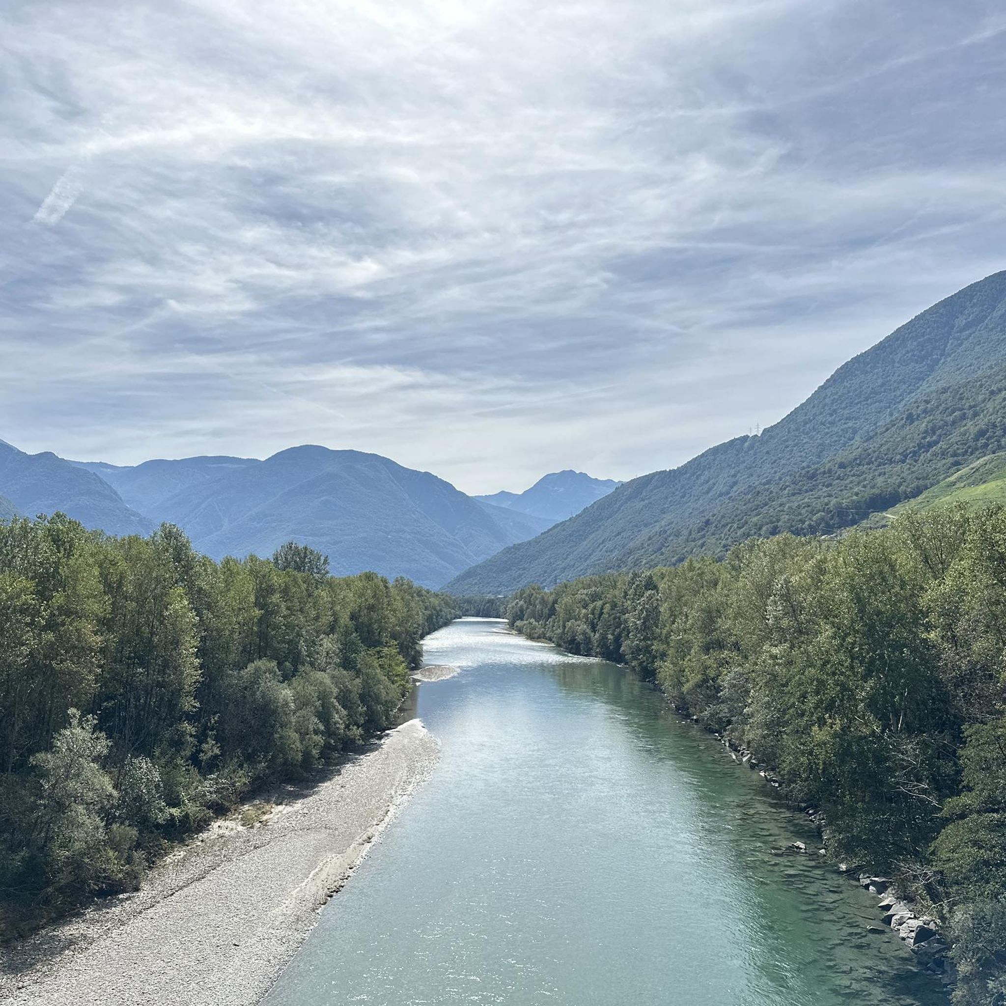
Best mountain passes near Preonzo Switzerland. Preonzo, a former municipality now part of Bellinzona in the canton of Ticino, Switzerland, is situated in a valley at an elevation of approximately 250 meters. It serves as a gateway to several alpine passes within the larger Ticino canton. These passes are known for their historical importance and diverse landscapes.
Best mountain passes around Preonzo
- The most popular mountain pass is Erbea Pass, a mountain pass that is a narrow opening in…
Last updated: September 30, 2026
Erbea Pass
Highlight • Mountain Pass
Translated by Google •
Tip by

San Bernardino Pass from Bellinzona
Highlight (Segment) • Mountain Pass
Tip by

Sign up now to discover places like this
Get recommendations on the best single tracks, peaks, & plenty of other exciting outdoor places.
Bocchetta di Rognoi
Highlight • Mountain Pass
Translated by Google •
Tip by

Parcours 1 #TCRNo9 // Passo dello Spluga
Highlight (Segment) • Mountain Pass
Tip by

Alpe Perpiói
Highlight (Segment) • Trail
Showing Translation
Tip by

Sign up for free to discover even more mountain passes around Preonzo.
Already have an account?
Start today with a free account
Your next adventure awaits.
Tips from the Community

Given it's a north facing be prepared to find patches of loose snow even at the beginning of the summer season. Always double check snow conditions on SLF snow map website (https://whiterisk.ch/en/conditions/snow-maps/snow_depth)
0
0

Beautiful alpine pasture on the hiking trail between Corippo and Mergoscia. At this saddle, at 894 m, the highest point is also reached.
4
0

If the snow line drops, there will be snow on the Moleno Valley side, and it won't melt away quickly (the sun doesn't even shine in October). This makes this route on the steep slope truly challenging without spikes or poles. The descents from both sides, in particular, should be approached with extreme caution.
0
0

The Bocchetta di Rognoi is a mountain pass in the municipality of Verzasca in the canton of Ticino. It is located at an altitude of 2219 meters above sea level between the Pizzo di Vogorno (2442m above sea level) and the Madon (2395m above sea level). The pass forms a connection between the Val della Porta in the south and the Val Carecchio to the north, both side valleys of the Verzasca Valley. The path over the Butta di Rognoi is marked as a white-red-white mountain hiking trail. The nearest mountain hut is the Capanna Borgna on the south side of the pass, from which there are hiking options to the Bochete di Cazzann (Butta Cazzane) and further to the Valle di Moleno as well as to the Passo di Ruscada (and from there to the Magadino plain).
0
0

Bocchetta d'Erbea is located between the Gaggio valley and the Molena valley. It is a narrow opening in the rock that divides two very different valleys. The Gaggio valley is green, that of Molena is mainly stony.
1
0

Long climb up the pass, but really beautiful and very pleasant to ride
0
1

Very nice pass, drive and enjoy
0
1

Heading south to the Alps for the first Control Point of the Race, TCRNo9 riders face a parcours that follows in the millenia-old tracks of pass-storming armies and traders — zig-zagging across the Swiss and Italian borders, over the high cols and through the steeply-gorged valleys of the now famous San Bernardino and Splugen Passes, before plunging to Chiavenna at the foot of the Maloja Pass. 2023 marks the 200-year anniversary of the modern road over the Passo dello Spluga. Here riders will free route from the end of the parcours to Control Point 1 in Livigno. Perched high in the Italian Alps, the location will force racers to remain in the mountains en route to Control Point 2. Livigno’s name stems from the old German word for ‘avalanche’ — a reminder to riders not to underestimate conditions here, something they will do at their peril as they traverse some of the highest paved roads in the region before being deposited at the foot of the mighty Stelvio National Park.
0
0
Frequently Asked Questions
What are some of the most scenic mountain passes accessible from Preonzo?
The Ticino canton, accessible from Preonzo, offers several passes known for their breathtaking scenery. The San Bernardino Pass features idyllic landscapes with small lakes and glacial striations, culminating in the magnificent Moesola mountain lake. The Lukmanier Pass is also noted for its scenic beauty and expansive landscapes, ideal for nature immersion.
Which mountain passes near Preonzo have historical significance?
The Gotthard Pass is historically significant, having been a crucial route for pilgrims and trade since the 13th century. It features the San Gottardo hospice, founded in 1237, and the historic "Tremola" cobbled road. The San Bernardino Pass has also been in use since Roman times, with its route including the impressive Viamala Gorge.
Are there challenging mountain passes for experienced hikers or cyclists near Preonzo?
Yes, the region offers challenging routes. The Erbea Pass is a challenging trail, especially when snow is present on the Moleno Valley side, requiring caution. The Nufenen Pass, one of Switzerland's highest pass roads at 2,478 meters, presents a demanding ascent with an average gradient of 8.5% over 13 kilometers on its north slope.
What kind of natural features can I expect to see around the mountain passes?
You can expect diverse natural features. The Gotthard Pass region is known as the source of four major rivers and features the Piazza lake. The San Bernardino Pass area is characterized by small lakes and glacial striations. The Lukmanier Pass is home to the "Centro Pro Natura" nature center, highlighting its natural beauty. The Erbea Pass offers varied terrain between the green Gaggio valley and the stony Molena valley.
What outdoor activities can I do near the mountain passes around Preonzo?
The mountainous terrain around Preonzo and its passes offers numerous opportunities for outdoor activities. You can find various hiking trails, including difficult routes like "From Moleno to the Alpe di Ripiano." For cyclists, there are road cycling routes and MTB trails, such as the challenging "Ascesa da Castione-Arbedo all'alpe Arami."
Is there a mountain pass that divides the Ticino canton?
Yes, the Monte Ceneri Pass is significant as it divides the canton of Ticino into two main regions: Sopraceneri (northern region) and Sottoceneri (southern region). It provides access to Lake Lugano and an alternative route to Lombardy. You can experience this pass via the Monte Ceneri Pass from Cadenazzo, which features a cycle path.
What is the best time to visit the mountain passes around Preonzo?
The best time to visit largely depends on your activity. While many passes are accessible in warmer months, even in summer, snow can be encountered at higher altitudes like the Nufenen Pass. For hiking and cycling, late spring to early autumn generally offers the most favorable conditions, though some routes, like the Erbea Pass, can be challenging with snow.
Are there any mountain passes suitable for cycling near Preonzo?
Yes, several passes are popular with cyclists. The Monte Ceneri Pass from Cadenazzo offers a 6.6 km climb with a cycle path. The Nufenen Pass, while challenging, is also a notable route for experienced cyclists seeking high-alpine scenery. The historic "Tremola" road on the Gotthard Pass provides a scenic detour for those looking for a unique cycling experience.
What do visitors enjoy most about the mountain passes around Preonzo?
Visitors appreciate the diverse landscapes, from green valleys to stony terrain, and the historical significance of many passes. The challenging trails and varied terrain, such as those found at Erbea Pass, are highly valued by the komoot community, as evidenced by over 30 photos and 30 upvotes for the region's passes.
Can I find mountain passes that connect different valleys or regions?
Absolutely. Many passes serve as crucial connectors. The Gotthard Pass connects Ticino with the canton of Uri. The Lukmanier Pass links Ticino with Graubünden. The Bocchetta di Rognoi forms a connection between the Val della Porta and the Val Carecchio, both side valleys of the Verzasca Valley. The Nufenen Pass connects the Valais and Ticino regions.
Are there any mountain passes that offer views of significant landmarks or natural formations?
Yes, several passes provide impressive views. The San Bernardino Pass offers views of the Viamala Gorge on its north side and the Moesola mountain lake at its summit. The Gotthard Pass features the Piazza lake. The Bocchetta di Rognoi, located at 2219 meters, offers panoramic views between Pizzo di Vogorno and Madon.
Most popular routes around Preonzo
Most popular attractions around Preonzo

Get inspired with the komoot mobile app


Explore more
See even more epic mountain passes by checking out these guides around Preonzo:
