Top 19 Mountain Passes around Breil/Brigels
Best mountain passes around Breil/Brigels are located in the Surselva region of the Swiss canton of Graubünden. This mountain village provides access to an alpine landscape with opportunities for hiking and biking. The area features various mountain passes that connect valleys and offer views of the surrounding peaks and glaciers.
Best mountain passes around Breil/Brigels
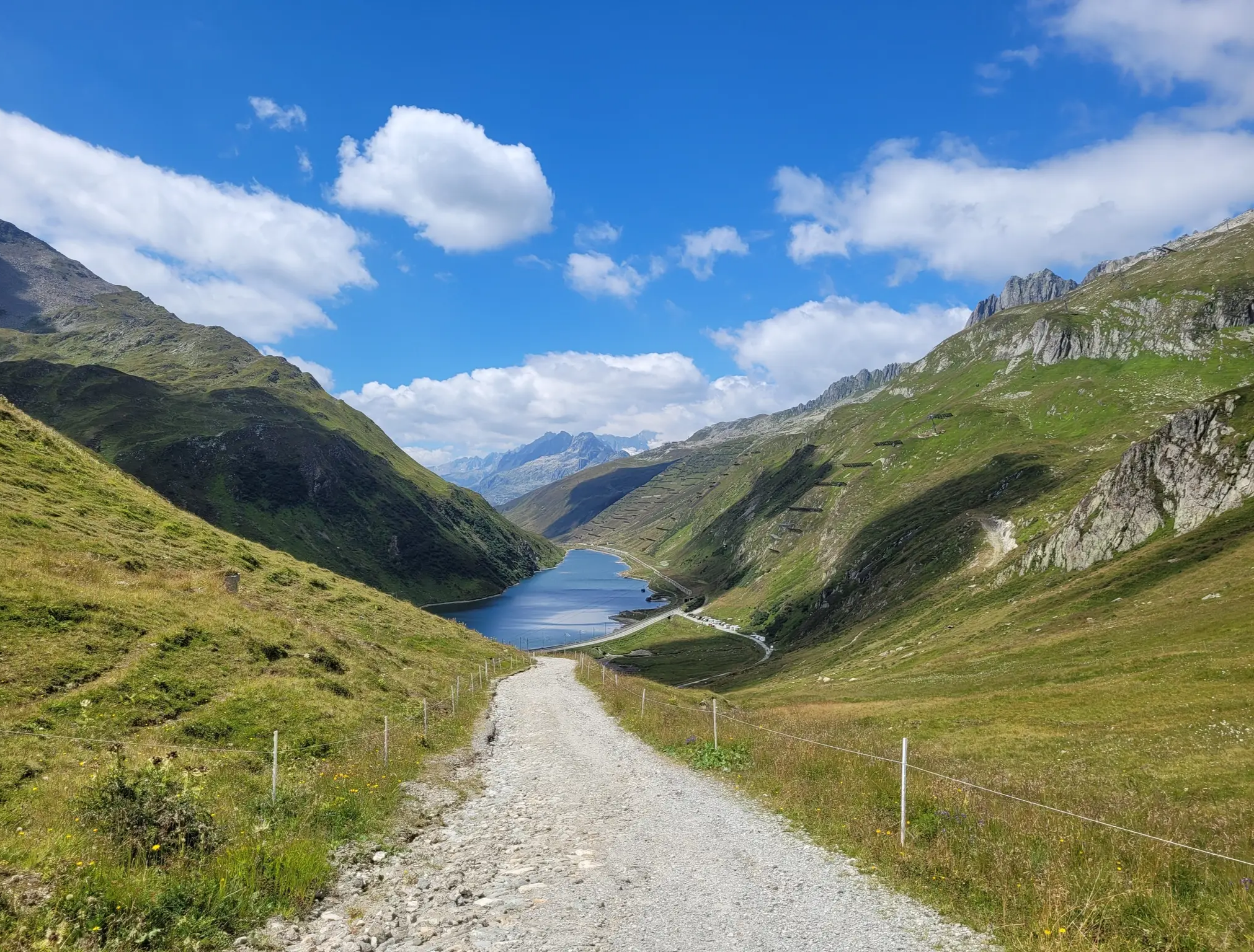
- The most popular mountain passes is Alpine Route Between Val Lumnezia and Obersaxen, a trail that offers views in all directions after the ascent. It is suitable for riding on a gravel bike.
- Another must-see spot is Richetli Pass, a mountain pass at 2,261 meters above sea level. It connects the towns of Linthal and Elm, providing views of the surrounding peaks.
- Visitors also love Fiseten Pass, a mountain pass at 2,036 meters above sea level. It offers panoramic views over the Urnerboden, the Klausen Pass, and the Clariden glacier.
- Breil/Brigels is known for mountain passes, high-altitude trails, and viewpoints. The region offers a variety of routes for hiking, mountain biking, and trail running.
- The mountain passes around Breil/Brigels are appreciated by the komoot community, with 83 photos and 106 upvotes shared by users.
Last updated: August 6, 2026
Fiseten Pass
Highlight • Mountain Pass
The Fisetenpass is a mountain pass in the municipality of Spiringen (Urnerboden exclave) in the canton of Uri. Its pass is at an altitude of 2036 meters above sea level between the Gemsfairenstock (2971m) in the southwest and the Fisetengrat or the Chamerstock (2123m) in the east. The easiest way to reach the pass is to take the mountain cable car from Urnerboden to the Fisetengrat mountain station and from there in a few minutes to the top of the pass.
You hike over the pass from the Urnerboden to the Fiseten area and on to the Claridenhütte and Tierfehd. The specified hiking time from the Fisetenpass to the Claridenhütte is 2h40min, down to Linthal 4h55min and also down the valley to the Urnerboden 3h10min. In a four-hour mountain hike from the top of the pass you can also reach the Klausen Pass (Clariden high-altitude trail).
Text / source: Fuorcla.ch
fuorcla.ch/fisetenpass
Translated by Google •
Tip by

Richetli Pass
Highlight • Mountain Pass
Translated by Google •
Tip by

Sign up now to discover places like this
Get recommendations on the best single tracks, peaks, & plenty of other exciting outdoor places.
Sign up for free
Clariden High Trail
Highlight • Trail
This hike is characterized by pleasant differences in altitude and offers a wonderful view of the largest cow alp in Switzerland, the Urnerboden. The hike takes place over scree terrain. Worth seeing on the way: the Gletscherseeli at the foot of the Clariden north face and the rock formation «Tyyfelsfriedhof».
Text / source: schweizmobil.ch
schweizmobil.ch/de/wanderland/route-588
Translated by Google •
Tip by
Alpine Route Between Val Lumnezia and Obersaxen
Highlight (Segment) • Trail
Translated by Google •
Tip by

Klausen Pass from Linthal
Highlight (Segment) • Mountain Pass
Translated by Google •
Tip by

Sign up for free to discover even more mountain passes around Breil/Brigels.
Sign up for free
Already have an account?
Start today with a free account
Your next adventure awaits.
Login or Signup
Popular around Breil/Brigels

Winter Magic in the Surselva – peace, space and pure nature
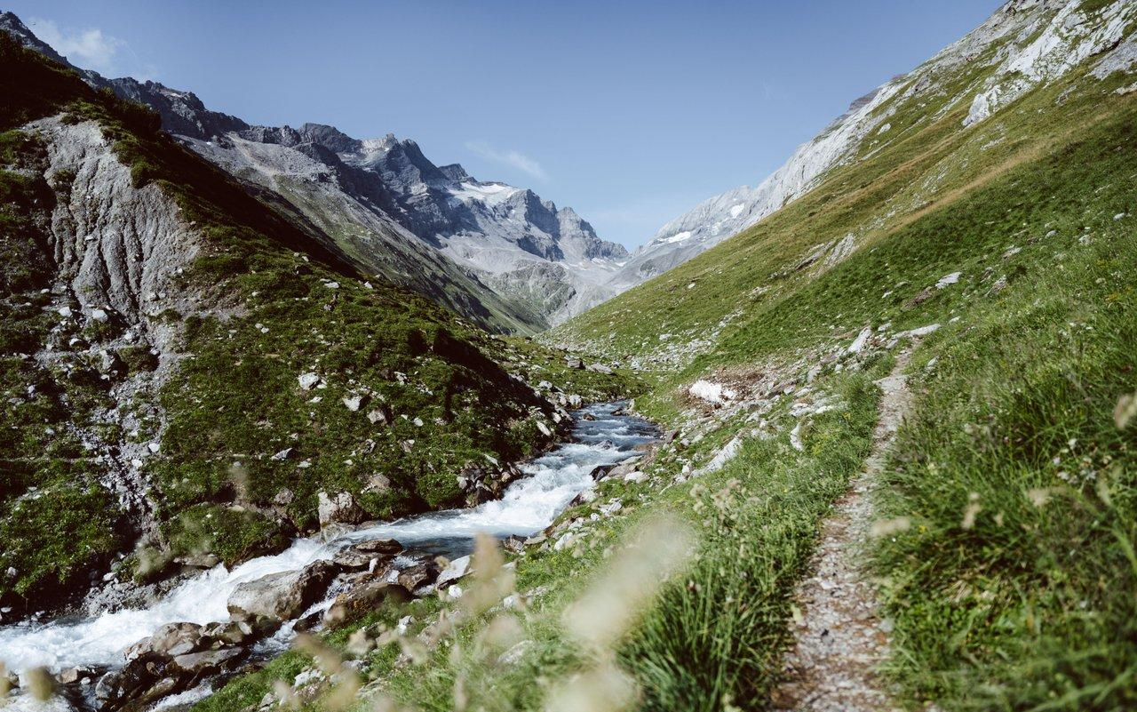
Relax and enjoy – hiking highlights of the Surselva
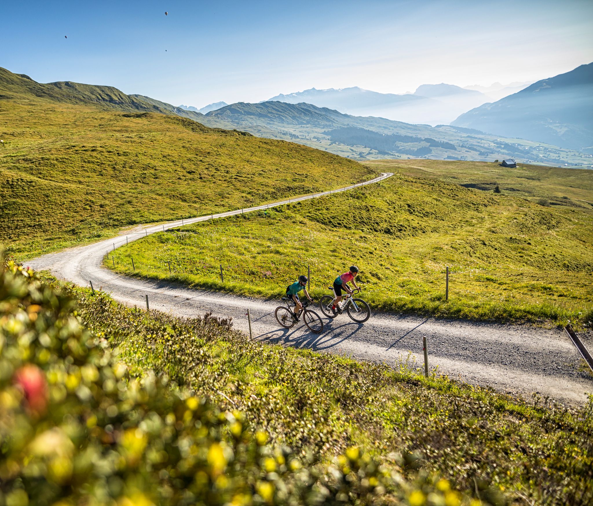
The six most beautiful gravel routes in Graubünden
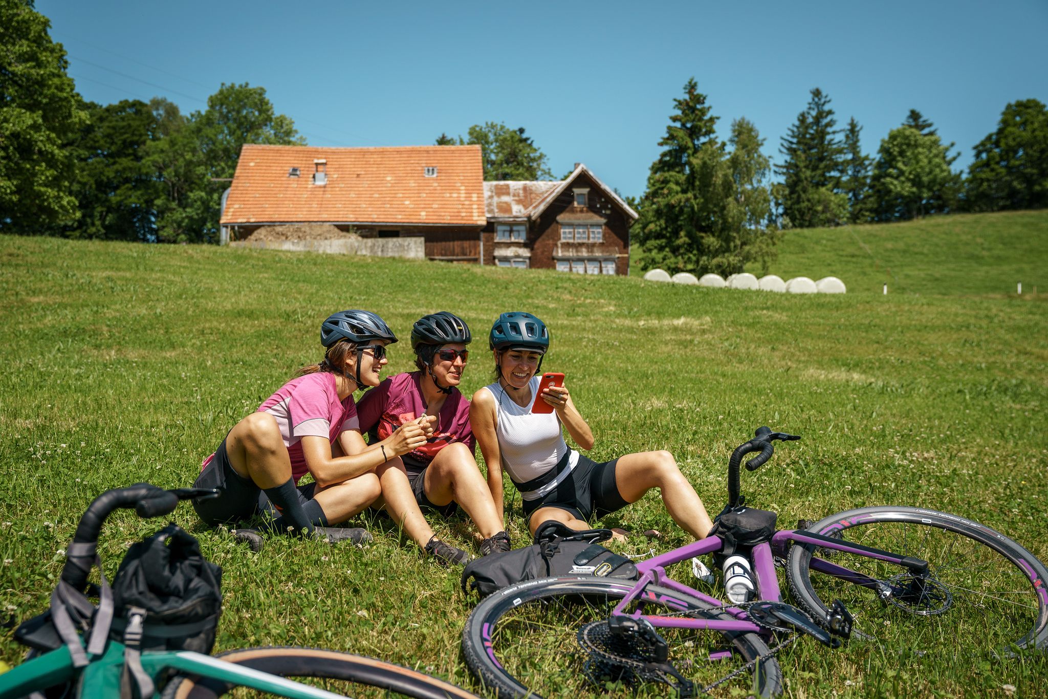
100% Women: essential Switzerland on a gravel bike
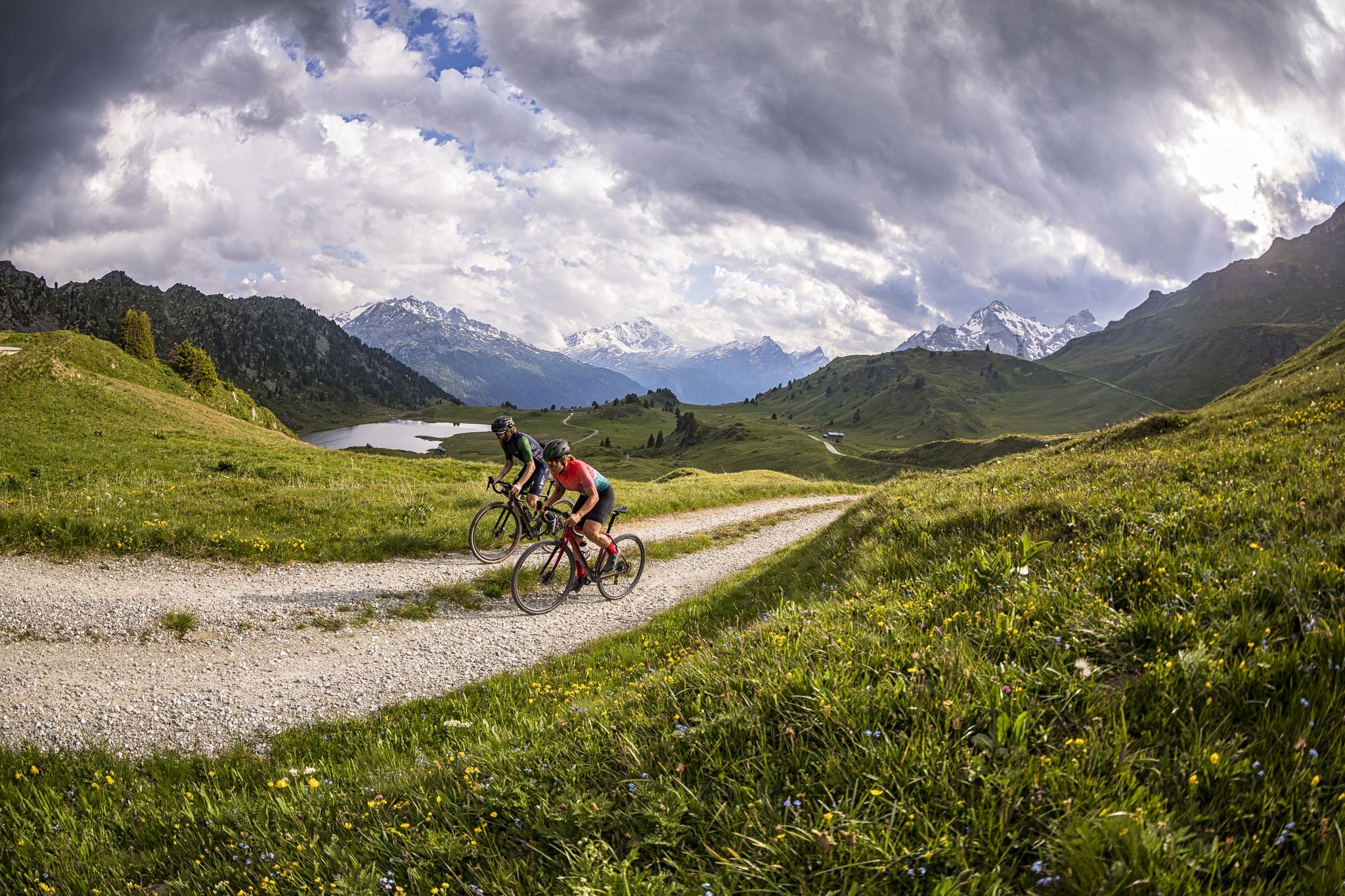
A gravel biking Menu for Switzerland’s Grisons

On ancient paths towards Santiago — the Way of St. James Graubünden
Senda Sursilvana – lungo il Giovane Reno tra natura e tradizione
Hiking around Breil/Brigels
MTB Trails around Breil/Brigels
Gravel biking around Breil/Brigels
Other adventures around Breil/Brigels


Tips from the Community

The Richetli Pass is a wonderful pass between Linthal and Elm. The Linthal side is significantly steeper than the Elm side. Coming from Linthal, you'll have your first glimpse of the Glarus Thrust here, before admiring the entire spectacle from the Wichlenmatt.
0
0

The Richetli Pass (2,261 m above sea level) is a high mountain pass in the Glarus Alps and connects the towns of Linthal and Elm in the canton of Glarus. The pass lies between the valley of the Linth River and the valley of its tributary, the Sernf. The Richetli Pass is the lowest point between the Hausstock and Kärpf peaks. Source: https://share.google/5uPMLWragfRQhSfx8
1
0

A fabulous high-altitude trail, with stunning views and even more fascinating with clouds. The trail offers a pleasant incline and gradient, crossing meadows and lots of rock and scree. The glacier at the lake is a highlight. This high-altitude trail offers pure nature to enjoy.
1
0
Great view, several benches to sit and enjoy. I would definitely climb through the forest myself instead of taking the gondola – it's so much more beautiful up there...and the path through the forest is really beautiful.
1
0

Follow the marked trail, otherwise it will get deep
0
0

Fisetenpass 2023 m The Fisetenpass is a mountain pass in the municipality of Spiringen (Urnerboden exclave) in the canton of Uri. Its pass is at an altitude of 2036 meters above sea level between the Gemsfairenstock (2971m) in the southwest and the Fisetengrat or the Chamerstock (2123m) in the east. The easiest way to reach the pass is to take the mountain cable car from Urnerboden to the Fisetengrat mountain station and from there in a few minutes to the top of the pass. You hike over the pass from the Urnerboden to the Fiseten area and on to the Claridenhütte and Tierfehd. The specified hiking time from the Fisetenpass to the Claridenhütte is 2h40min, down to Linthal 4h55min and also down the valley to the Urnerboden 3h10min. In a four-hour mountain hike from the top of the pass you can also reach the Klausen Pass (Clariden high-altitude trail). Text / source: Fuorcla.ch https://fuorcla.ch/fisetenpass/
14
0
The Klausen connects the cantons of Uri and Glarus. After the impressive postbus ride to the top of the pass, the tour starts right next to the kiosk. The beginning is also the steepest part of the hike. She steers between smaller boulders directly towards the mighty Clariden north face. If you are quiet, you may hear the bells of the grazing sheep tinkling. On the way you come across several boulders. After a short zig-zag section over scree, the beautiful glacier lake appears behind it, to which you can now hike. The place by the lake is also known as "Tyyfelsfriedhof". The name refers to a stone formation above the small Griesslisee. Two benches and several stones are ideal for a short break. You only have a full view of the glacier from here, because the ice tongue is littered with stones and rubble. After the somewhat steep and scree descent to the water intake, a 20 meter long bridge leads safely over the Fätschbach. This rises at the watershed of Linth and Reuss below the Clariden. After crossing it is practically level over the Griessbödemli, always accompanied by an impressive view of the Jägerstöcke on the other side of the valley. In the Gemsfairenhüttli, roughly halfway between the lake and the Fisetenpass, fresh alpine products can be tasted during the alpine season. After refreshment from the Alpbeizli or from the rucksack, you continue without major differences in altitude over stony meadows over the Hasentritt and to the mountain station of the Urnerboden-Fisetengrat cable car. The difference in altitude of 600 meters to the Urnerboden can be easily overcome with the cable car. Knew? The Urnerboden is the largest cow alp in Switzerland and served as the main filming location for the SRF crime series "Wilder". Arriving in the valley, the post bus takes guests in the direction of Glarus and Urnerland. Text / source: schweizmobil.ch https://schweizmobil.ch/de/wanderland/route-588
14
0
Route: Klausenpass - Fisetenpass mountain station (Clariden-Höhenweg) This hike is characterized by pleasant differences in altitude and offers a wonderful view of the largest cow alp in Switzerland, the Urnerboden. The hike takes place over scree terrain. Worth seeing on the way: the Gletscherseeli at the foot of the Clariden north face and the rock formation «Tyyfelsfriedhof». Text / source: schweizmobil.ch https://schweizmobil.ch/de/wanderland/route-588
14
0
Frequently Asked Questions
How can I access the mountain passes around Breil/Brigels, especially by public transport?
Accessibility varies by pass. For instance, the Fiseten Pass is easily reached via a small six-person cable car from Urnerboden, which takes you to the Fisetengrat mountain station in just 10 minutes. Urnerboden itself is accessible via the Klausen Pass road in summer, or from the Linthal side in winter due to road closures. Other passes like the Kistenpass connect regions like Glarnerland with Surselva, often requiring hiking or biking to reach the highest points.
What kind of natural features and views can I expect on these mountain passes?
The mountain passes around Breil/Brigels offer stunning natural beauty. From Fiseten Pass, you'll get breathtaking panoramic views over the Urnerboden, the Klausen Pass, and the Clariden glacier, with untouched, wild nature. The Kistenpass (Pass Lembra) provides a dramatic change in scenery, transitioning from high alpine landscapes to green pastures, with views of the imposing Tödi mountain, the shimmering blue Limmerensee, and the ice masses of the Bifertenstock.
Are there family-friendly options for exploring the mountain passes?
While many mountain passes involve challenging terrain, some offer easier access or shorter routes. The Fiseten Pass, with its cable car access, can be a good starting point for families, allowing you to enjoy the views without a strenuous climb. From the Fisetengrat mountain station, it's a short walk to the pass. Always check specific trail difficulties and conditions before heading out with family.
What outdoor activities can I do near the mountain passes around Breil/Brigels?
The region around Breil/Brigels is excellent for various outdoor activities. You can find numerous opportunities for hiking, mountain biking, e-biking, and trail running. For example, the Kistenpass trail is a 2 km singletrack suitable for all these activities. There are also specific guides for different sports, such as Running Trails around Breil/Brigels, Road Cycling Routes around Breil/Brigels, and Cycling around Breil/Brigels.
What is the best time of year to visit the mountain passes in Breil/Brigels?
The mountain passes are a year-round destination, with different experiences depending on the season. In warmer months, they are ideal for hiking, mountain biking, and trail running. In winter, areas like Fiseten Pass transform into a paradise for ski tourers and offer activities like tobogganing. Always check local conditions and weather forecasts, especially for higher altitude passes, as some roads and trails may be closed due to snow.
Are there challenging hiking routes over the mountain passes?
Yes, for those seeking a challenge, there are several demanding routes. The Clariden High Trail, which connects Klausenpass to the Fisetenpass mountain station, is a challenging hike over scree terrain. For the Kistenpass, the Kistenstöckli summit (2,746 m) is steep and recommended only for those who are sure-footed and have a good head for heights. The path over the Kistenpass itself had to be re-routed due to permafrost, now featuring a set of stairs at its highest point.
What do visitors enjoy most about the mountain passes in this region?
Visitors consistently rave about the breathtaking panoramic views and the untouched, wild nature. The sense of peace and escape from daily life is a major draw. Many appreciate the variety of trails for hiking and biking, and the dramatic changes in scenery, from high alpine landscapes to green pastures. The community has shared 83 photos and 106 upvotes, highlighting the visual appeal and rewarding experiences.
Can I find food and accommodation near the mountain passes?
While the passes themselves are often remote, you can find options in nearby villages or at mountain huts. For instance, the Kistenpass has the Kistenpasshütte, an former military accommodation perched high up. Along the Clariden High Trail, you might find the Gemsfairenhüttli, where fresh alpine products can be tasted during the alpine season. It's always advisable to check opening times and availability in advance, especially for huts.
Are there any specific landmarks or viewpoints to look out for on the passes?
Absolutely. On the Fiseten Pass, the panoramic views over the Urnerboden, Klausen Pass, and Clariden glacier are a highlight. Along the Clariden High Trail, you'll encounter the Gletscherseeli at the foot of the Clariden north face and the unique rock formation known as «Tyyfelsfriedhof». From the Kistenpass, you can enjoy views of the Tödi mountain, the Limmerensee, and the Bifertenstock.
What is the Richetli Pass known for?
The Richetli Pass, at 2,261 meters above sea level, is known for connecting the towns of Linthal and Elm. It offers truly amazing views of the surrounding peaks and represents the lowest point between the Hausstock and the Kärpf. It's also part of the Green Trail of the Via Alpina, making it a significant point for long-distance hikers.
Are there any mountain passes suitable for gravel biking?
Yes, the region offers options for gravel biking. The Alpine Route Between Val Lumnezia and Obersaxen is particularly noted for being suitable for riding on a gravel bike, offering beautiful views in all directions after the ascent and being rather flat at the top. The Fiseten Pass is also accessible via a gravel road, making it suitable for mountain biking.
What makes the Kistenpass a unique experience?
The Kistenpass (Pass Lembra) offers a unique and rugged alpine experience. Reaching an altitude of 2,640 meters, its path had to be re-routed due to permafrost, now featuring a set of stairs at its highest point. The Kistenpasshütte, an former military accommodation, is a notable feature. It connects the Glarnerland region with Surselva, providing dramatic scenery changes and views of the Tödi mountain and Limmerensee.
Most popular routes around Breil/Brigels
Most popular attractions around Breil/Brigels

Get inspired with the komoot mobile app


Explore more
See even more epic mountain passes by checking out these guides around Breil/Brigels:
