Top 3 Mountain Passes in Wicklow
Best mountain passes in Wicklow offer routes through the region's diverse landscapes. These passes provide access to areas characterized by moorland, heath, and historical roads. The Wicklow Mountains feature several significant passes, including those that traverse high elevations and connect important valleys. The area is known for its natural beauty and historical routes, such as the Old Military Road.
Best mountain passes in Wicklow
- The most popular mountain passes is Sally Gap, a mountain pass that is one of…
Last updated: October 27, 2026
Sally Gap
Highlight • Mountain Pass
Showing Translation
Tip by

Robber's Pass Hill
Highlight • Mountain Pass
Translated by Google •
Tip by

Sign up now to discover places like this
Get recommendations on the best single tracks, peaks, & plenty of other exciting outdoor places.
At the foot of Stookeen
Highlight • Viewpoint
Translated by Google •
Tip by

Military Road: Killakee to Glencree (Wicklow Mountains National Park)
Highlight (Segment) • Trail
Tip by

Saddle between Knocknagun and Glendoo Mountain
Highlight • Mountain Pass
Tip by

View of the Sugarloaf
Highlight • Viewpoint
Tip by

Start today with a free account
Your next adventure awaits.
Popular around Wicklow
Running the Wicklow Way – From the city to the mountains
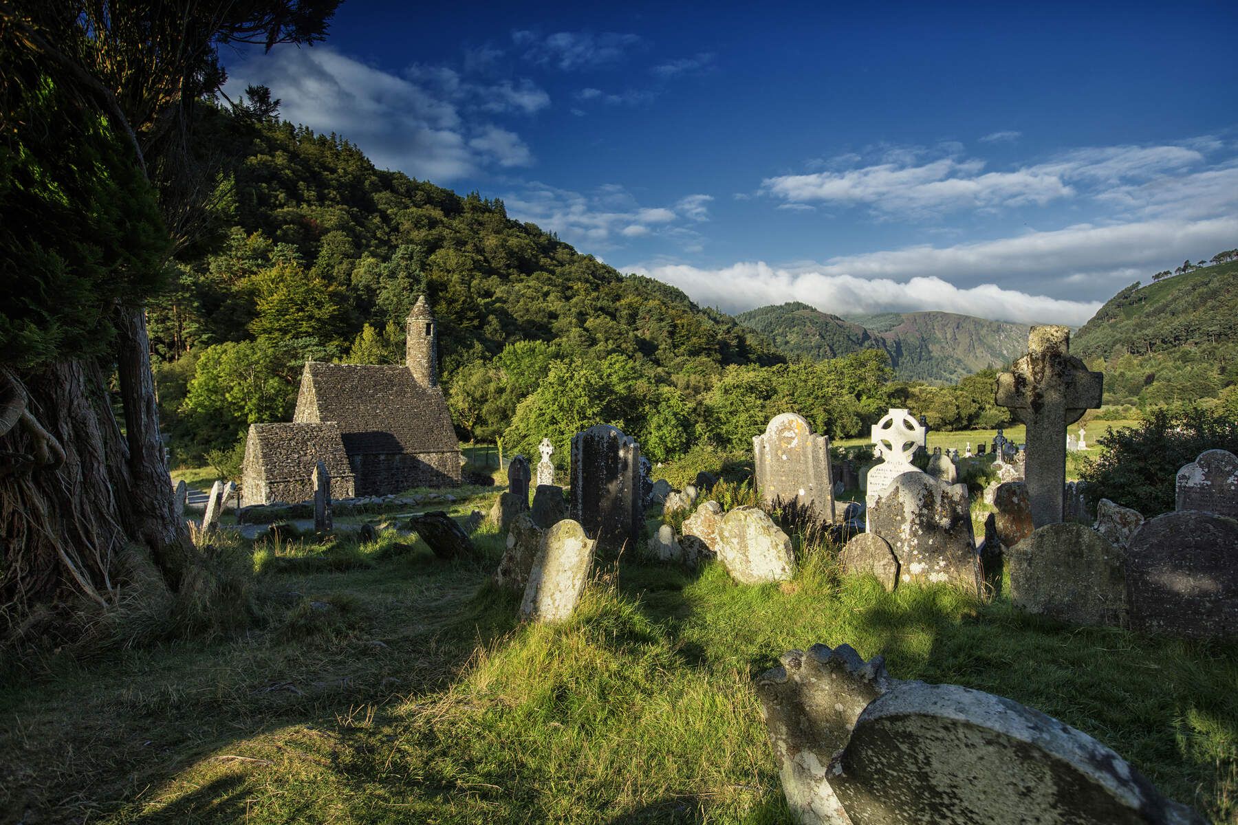
The Wicklow Way — discover Ireland's east
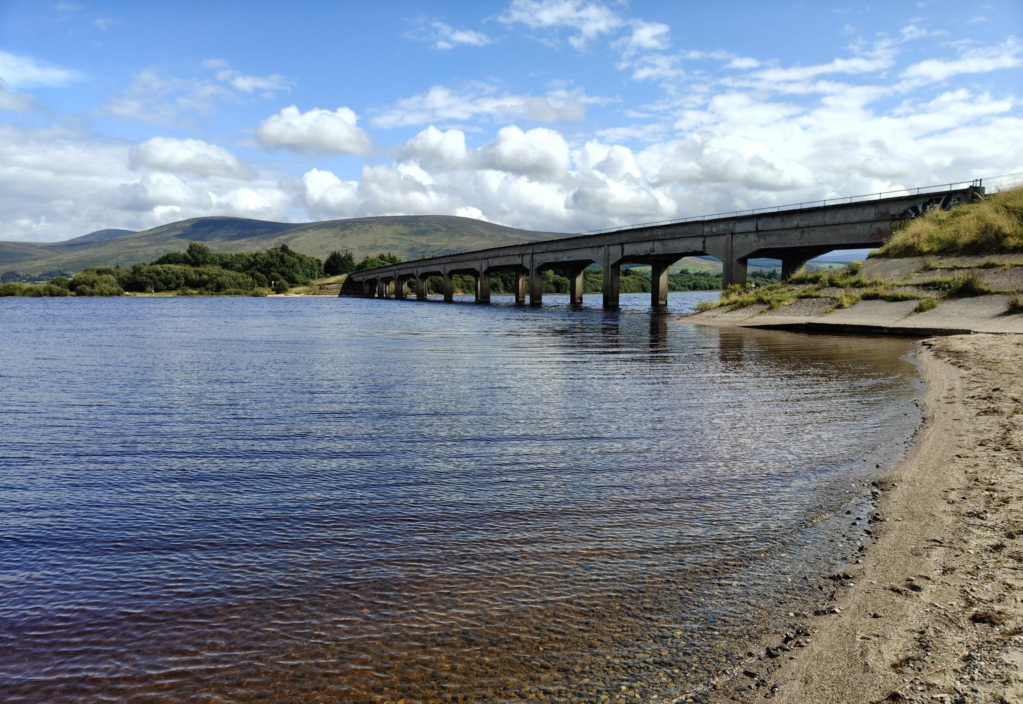
Lough shores and country roads – Blessington Loop
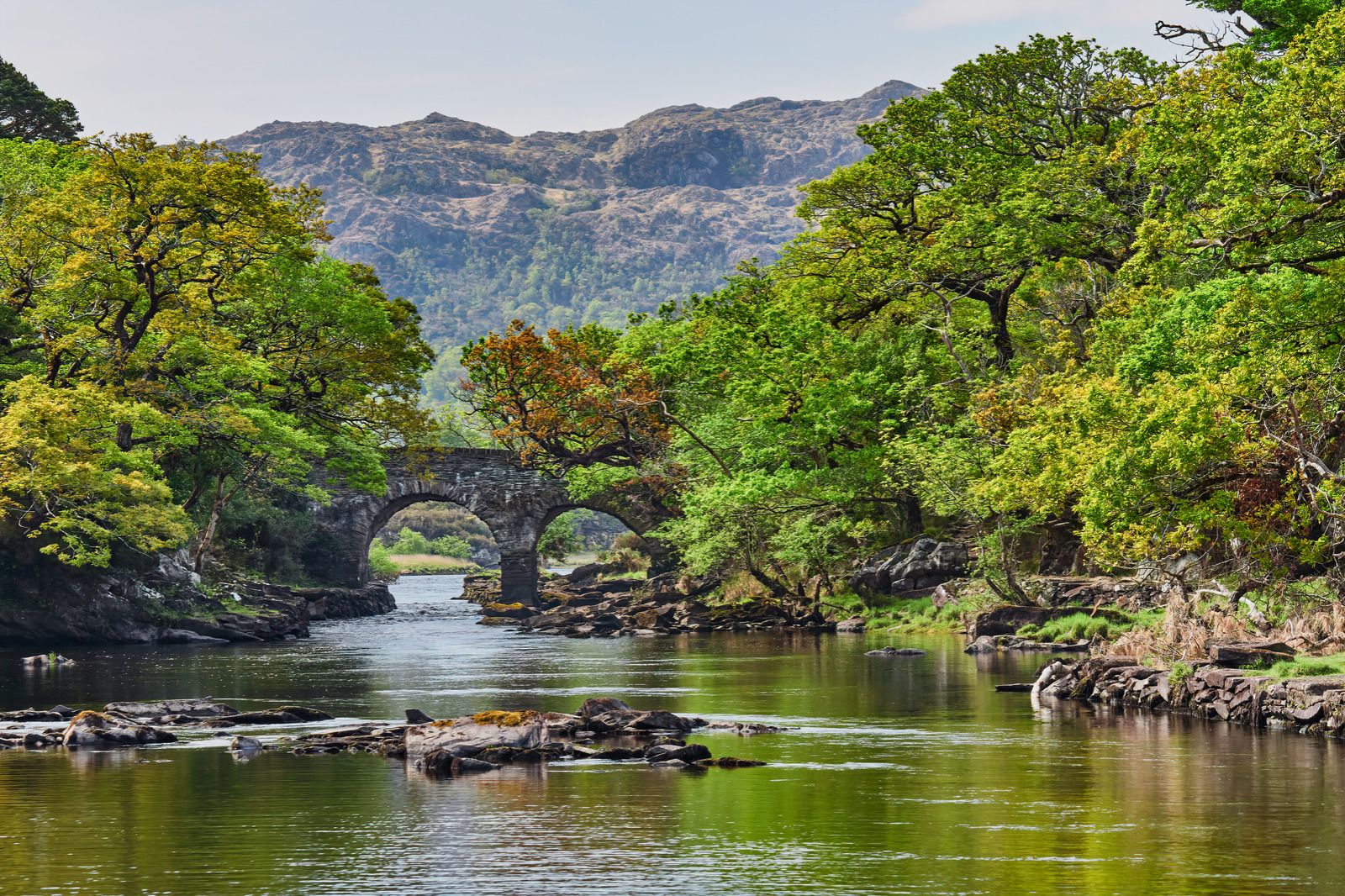
Follow the water - Along Ireland's rivers and lakes
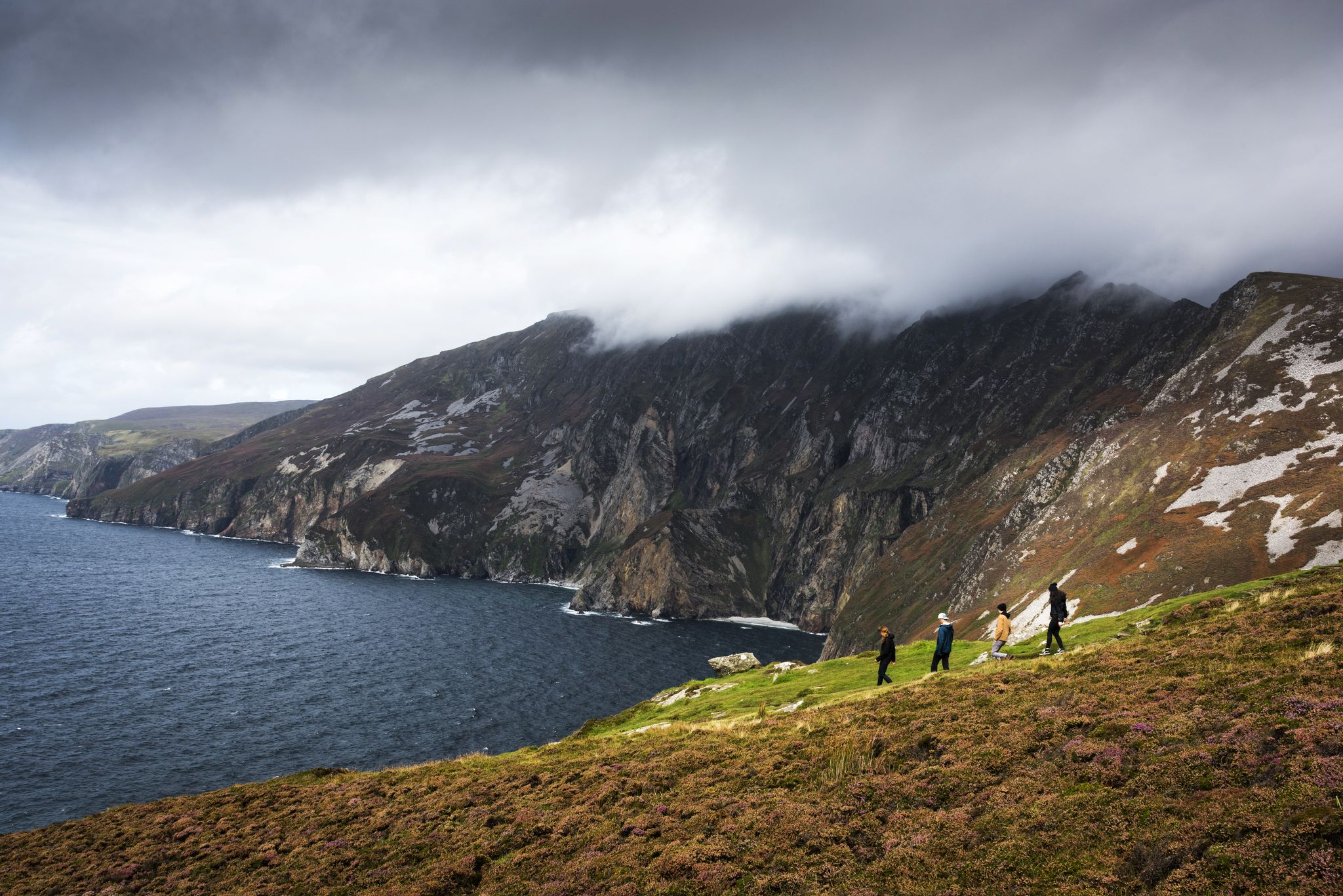
Hike Ireland's coast: cliffs, waves and wonderful wide beaches
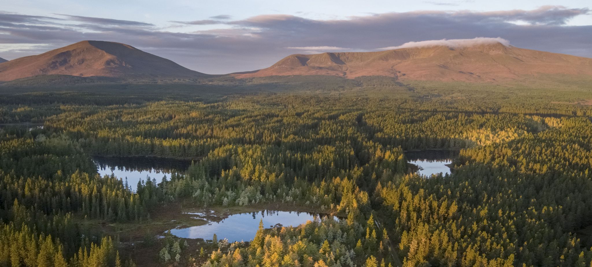
Discover Ireland's unspoilt nature in its national parks
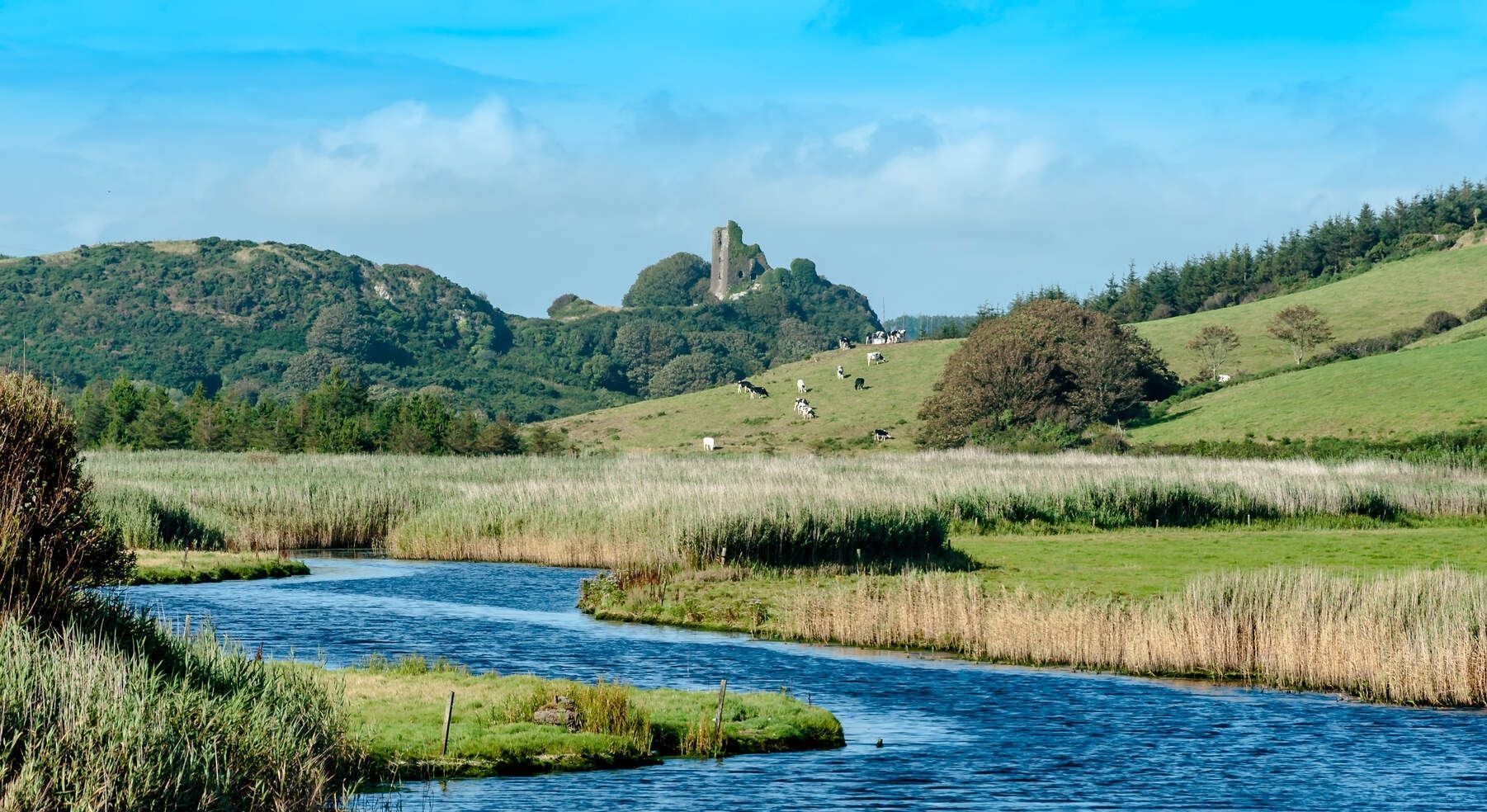
Ireland's blue rivers and lakes – walks along the water
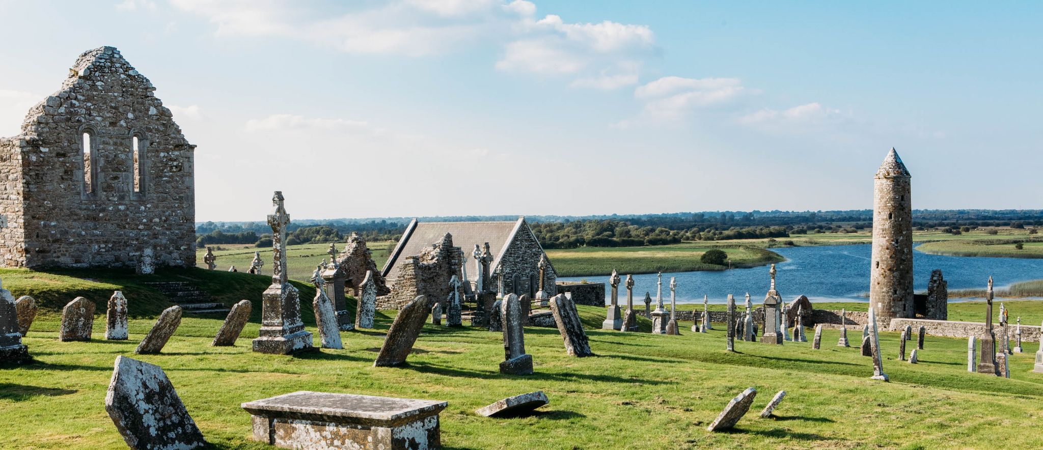
Discover Ireland's past – historical walks on the Emerald Isle
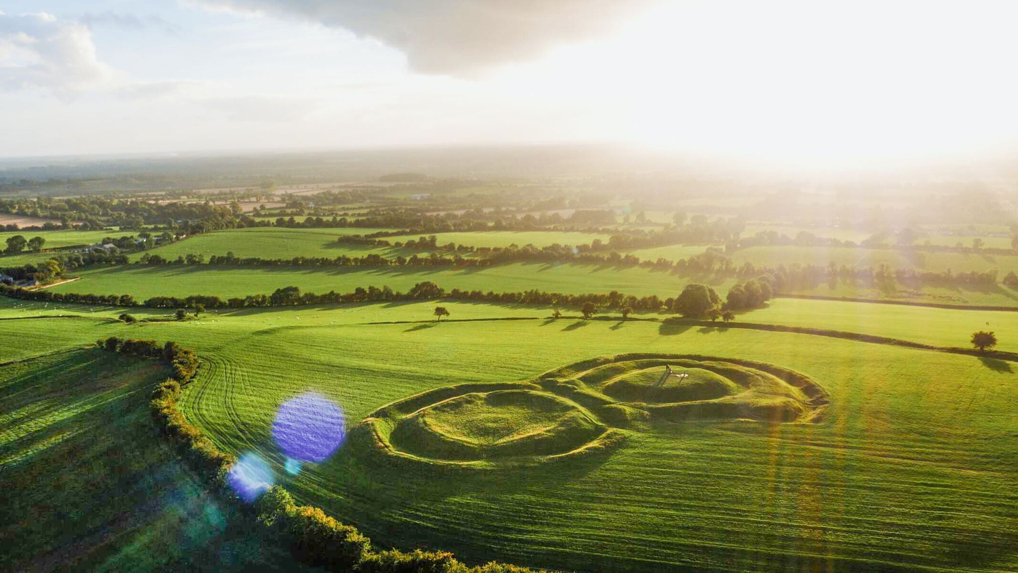
The magical east of Ireland – ancient places, scenic lakes and rocky mountains
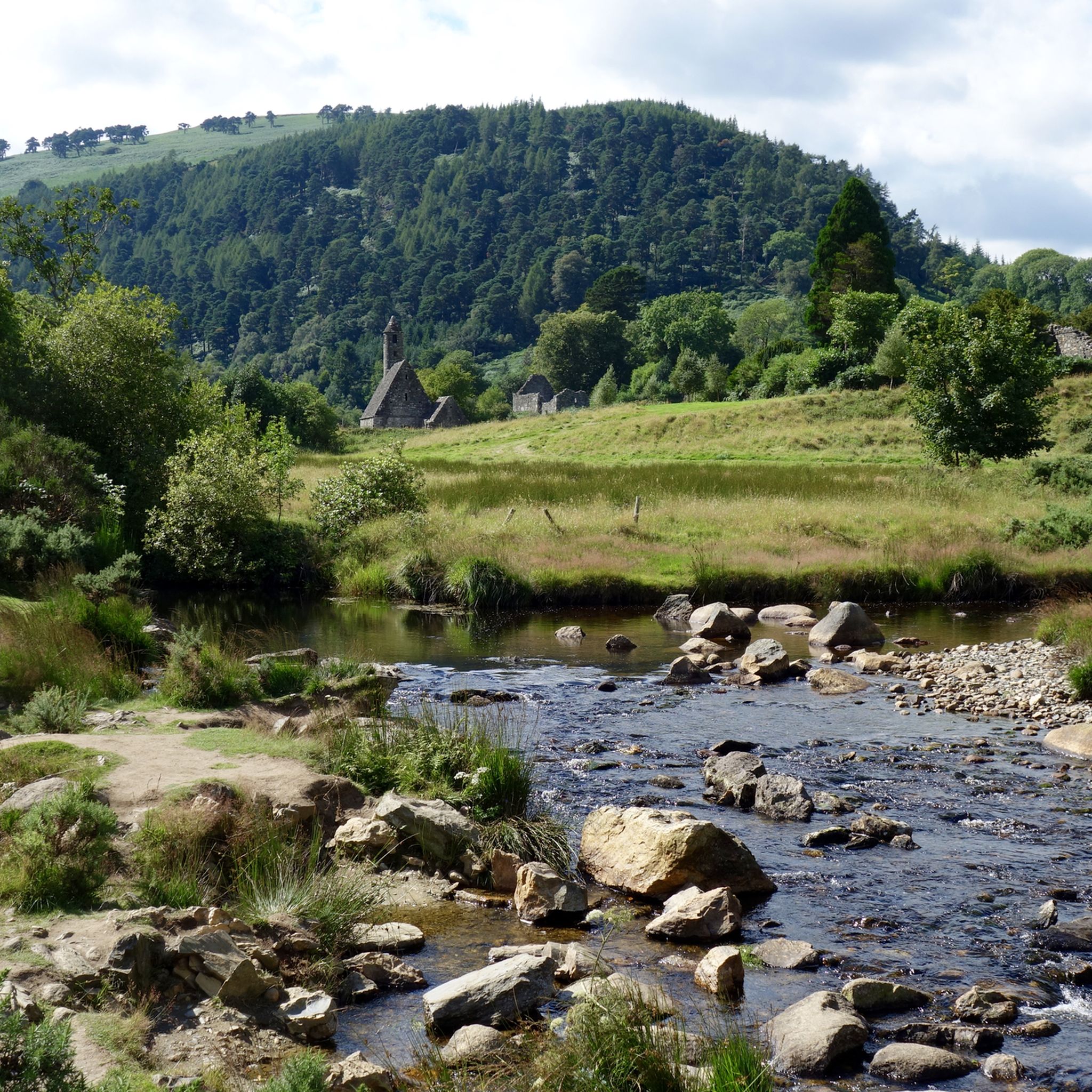
Hiking in Wicklow
Other adventures in Wicklow


Tips from the Community

This path junction is the saddle between Knocknagun and Glendoo Mountain. The path along the ridge offers great views up to these two peaks, north towards Dublin or south over the Wicklow Mountains. The path up from the Military Road gives access to the ridge and some brilliant mountain walks.
0
0

Sally Gap, one of the highest and most open crossroads in the Wicklow Mountains. Here, the R759 and the Old Military Road (R115) intersect at over 500 meters altitude, in the middle of a vast moorland and heath landscape without buildings or shelter. The panorama is a full 360°: the dark bogs of Liffey Head Bog, the flanks of Kippure, the valleys towards Glencree, and the long, empty Military Road that runs like a pencil line through the highlands. This location is world-famous as a backdrop for films and series such as Braveheart, Vikings, and P.S. I Love You.
8
0

Very beautiful heath landscape, but it gets very busy on nice weekends.
0
0
Here the Wicklow Way long-distance trail skirts the mountain of Stookeen. Standing 420 metres (1,378 feet) high, the summit affords great views of the surrounding area. The official route runs around the southern edge, but it's a rewarding excursion to the top and back.
0
0
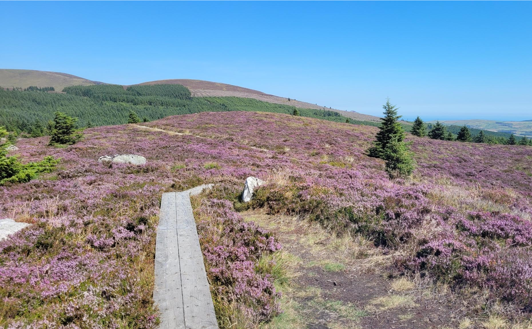
At 509 metres (1,670 feet) Robber's Pass Hill is the summit of this lovely area of heathery moorland. The actual summit is slightly off the Wicklow Way, but it's close by and worth the detour.
0
0

the northern end of Military Road, once you have passed the first climb a great view opens, don't get distracted too much
0
0

Lovely heath landscapes and small lakes.
2
0

As you ride through the mountainous scenery look out for the Sugarloaf in the distance. At 1,811 feet (552 m), it's a prominent feature in the western Wicklow landscape. The Maulin Loop is do-able on a MTB or gravel bike but take care on the descent.
0
0
Frequently Asked Questions
What kind of landscapes can I expect to see at the mountain passes in Wicklow?
The Wicklow mountain passes offer diverse and breathtaking landscapes. At the Sally Gap, you'll find vast moorland and heath landscapes with 360-degree panoramic views, including the dark bogs of Liffey Head Bog and the flanks of Kippure. The area is characterized by rich brown earth, purple heather, and golden gorse. The Wicklow Gap, on the other hand, presents a sense of ancient wilderness with heather-clad mountains, gushing waterfalls, and hidden lakes, often allowing views across the Irish Sea to Wales on clear days.
Are there any particularly scenic viewpoints along the mountain passes?
Yes, several passes offer stunning viewpoints. The Sally Gap provides panoramic views of moorland and heath. From the R759 near Sally Gap, you can see Lough Tay, often called "Guinness Lake." The Wicklow Gap offers impressive views over the Kings River, the Glendasan Valley, and the upper lake at Glendalough. Additionally, you can find a View of the Sugarloaf from certain points in the western Wicklow landscape.
What outdoor activities are popular around the Wicklow mountain passes?
The Wicklow mountain passes are excellent for various outdoor activities. Scenic drives are popular, especially along the Sally Gap Drive. Cycling is a favorite, with routes like the R756 through the Wicklow Gap being a challenging climb. Hiking is also prominent, with access to trails up Tonelagee and Turlough Hill from the Wicklow Gap, and trailheads for hikes like Djouce and Ballinastoe Woods near Sally Gap. For more specific routes, you can explore city hikes, gravel biking, and traffic-free bike rides in Wicklow.
Do the Wicklow mountain passes have any historical significance?
Absolutely. The Old Military Road, which runs through the Sally Gap and is highlighted as Military Road: Killakee to Glencree, was constructed by the British Army between 1801 and 1809 to control the Wicklow Mountains after the 1798 rebellion. The area around the Wicklow Gap also reveals traces of a 150-year history of lead mining and sites of early monastic worship. The Glencree Valley, near Sally Gap, is home to the Glencree Centre for Peace and Reconciliation, located in a former barracks from 1806, and a German War Cemetery.
What is the best time of year to visit the Wicklow mountain passes?
The best time to visit the Wicklow mountain passes is generally from late spring to early autumn (May to September) when the weather is milder and the days are longer. This period offers the best conditions for scenic drives, cycling, and hiking. During late summer, the heather blooms, adding vibrant purple hues to the landscape. Winter can be beautiful but also brings challenging conditions with snow and ice, especially at higher elevations like Sally Gap and Wicklow Gap.
Are there facilities like cafes or accommodation near the mountain passes?
While the passes themselves are largely undeveloped, you'll find facilities in nearby towns and villages. Glendalough, Roundwood, and Laragh are popular hubs offering cafes, pubs, and accommodation options. These locations serve as excellent bases for exploring the mountain passes and the wider Wicklow Mountains National Park.
How accessible are the Wicklow mountain passes by public transport?
Public transport options to the mountain passes are limited. While some bus services connect major towns like Glendalough, reaching the specific high points like Sally Gap or Wicklow Gap often requires a car or a dedicated tour. Planning your trip in advance and checking local bus schedules is recommended if relying on public transport.
Are the mountain passes dog-friendly?
Many areas within the Wicklow Mountains National Park, including trails around the passes, are dog-friendly, but dogs must generally be kept on a leash to protect wildlife and livestock. Specific rules may apply to certain trails or protected areas, so it's always best to check local signage or park guidelines before visiting with your dog.
Where can I park when visiting the Wicklow mountain passes?
Parking is available at various points along the scenic routes, particularly at popular trailheads and viewpoints. For instance, there are informal pull-offs and designated parking areas near the Sally Gap and along the roads leading to the Wicklow Gap. During peak seasons or on nice weekends, these areas can get busy, especially near highlights like Robber's Pass Hill, so arriving early is advisable.
What makes the Old Military Road special?
The Old Military Road (R115) is a historic route that traverses the Wicklow Mountains, including through the Sally Gap. It was built in the early 19th century for military purposes and now offers one of the most scenic drives in Ireland. It provides access to remote parts of the mountains and is renowned for its dramatic, open landscapes and historical significance. You can learn more about its history and route on Visit Wicklow.
Are there any film locations among the Wicklow mountain passes?
Yes, the dramatic landscapes of the Wicklow mountain passes have served as backdrops for numerous films and series. The Sally Gap area, in particular, has been featured in productions such as *Braveheart*, *Vikings*, and *P.S. I Love You*. Lough Tay, visible from the R759 near Sally Gap, was notably used as a filming location for Kattegat in *Vikings*.
Most popular routes in Wicklow
Most popular attractions in Wicklow

Get inspired with the komoot mobile app


Didn’t find what you were looking for?
Find even more amazing mountain passes in Wicklow organized by region:
Explore more
See even more epic mountain passes by checking out these guides in Wicklow:
