Top 20 Natural Monuments in Anhalt-Bitterfeld
Natural monuments in Anhalt-Bitterfeld showcase a diverse landscape, featuring ancient trees, geological formations, and reclaimed mining areas. The region includes significant natural landscapes like the Goitzsche Lake, a former lignite mine now a recreational hub, and the Steckby-Lödderitzer Forst, a large floodplain forest. These sites offer insights into the area's natural history and ecological significance. Anhalt-Bitterfeld provides opportunities to explore unique natural features and diverse ecosystems.
Best natural monuments in Anhalt-Bitterfeld
- The most popular natural monuments is Lake Ludwig, a lake that originated from a former open-cast lignite mine. It offers a popular sandy beach with a designated swimming area and good water quality.
- Another must-see spot is Arboretum Burgkemnitz, a forest and garden with various types of trees and shrubs. Visitors can expect to see green spaces, blooming plants, and a pond within the castle park.
- Visitors also love Cösitz Castle, a historical site built in 1891. Adjacent to the castle is the Cösitzer Park, featuring old copper beech trees, a grotto, and a pond, which invites walks.
- Anhalt-Bitterfeld is known for its ancient trees, geological formations, and lakes formed from former mining areas. The region offers a variety of natural monuments to see and explore, from erratic boulders to extensive wetlands.
- The natural monuments in Anhalt-Bitterfeld are appreciated by the komoot community, with 98 upvotes and 48 photos shared by visitors.
Last updated: August 6, 2026
The Blue Bench Memorial, Goitzsche Shore
Highlight • Monument
rolandfuhrmann.de/work/sandbank
Translated by Google •
Tip by

Großer Goitzschesee
Highlight • Lake
Translated by Google •
Tip by

Sign up now to discover places like this
Get recommendations on the best single tracks, peaks, & plenty of other exciting outdoor places.
Sign up for free
Lake Ludwig
Highlight • Lake
Translated by Google •
Tip by

Arboretum Burgkemnitz
Highlight • Forest
“Maintenance and care of the facilities are voluntary tasks,” reminds Muldestausee Mayor Ferid Giebler (independent) and draws attention to a fundamental problem. If municipalities do not have a bed of roses financially, projects such as the revitalization of the living space around Burgkemnitz Castle often fall victim to the red pen. In the end, a quartet helped in the Muldestausee town.
Source: mz.de/lokal/bitterfeld/grunes-kleinod-am-schloss-biologe-verkauf-soll-burgkemnitz-wieder-auszeichen-1679540
Translated by Google •
Tip by

Cösitz Castle
Highlight • Castle
Translated by Google •
Tip by
Untere Mulde River
Highlight • River
The strongly dominating hydrological main branch of the Freiberger Mulde river system is the Zschopau. In its upper catchment area, it is the Flöha, a namesake tributary, that contributes the larger water flow and is thus the actual source river of the Mulde. Via this main flow path, the Mulde is around 267 kilometers long, and via the longest flow path (Zwickauer Mulde) a good 314 kilometers.[3]
The Mulde catchment area shows total gradients of 600 to 900 meters for many important flow paths, so that exceptionally high flow velocities prevail here for Northern Germany. The Mulde is sometimes even referred to as the fastest-flowing river in Central Europe.[10]
Source de.wikipedia.org/wiki/Mulde_(Fluss)
Showing Translation
Tip by
Nicklich Trail
Highlight • Trail
Source: dbu.de/news/einweihung-nicklich-weg-anerkennung-fuer-natureinsatz
Translated by Google •
Tip by
Stone Circle Near Krina
Highlight • Monument
Translated by Google •
Tip by
Blauer See (Dübener Heide)
Highlight • Lake
The artificially created, arched "Blue Lake" has a mesotrophic character. The lake bed is only slightly silted.
The nature reserve has been subject to natural development since 1963.
The poetic names of the three lakes along the way, from green to blue to red, actually have something to do with the color of the waters and how they affect the viewer.
Translated by Google •
Tip by
Lindenstein Boulder
Highlight • Natural Monument
Translated by Google •
Tip by
Sign up for free to discover even more natural monuments in Anhalt-Bitterfeld.
Sign up for free
Already have an account?
Start today with a free account
Your next adventure awaits.
Login or Signup
Popular around Anhalt-Bitterfeld
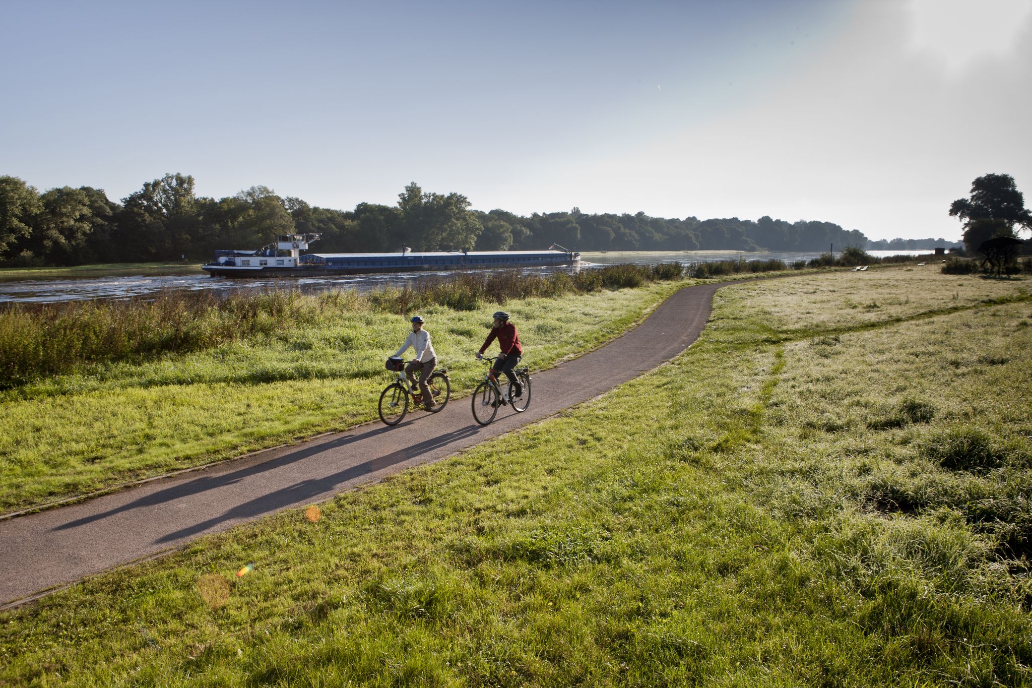
Elbe Cycle Route – Ride through Saxony-Anhalt
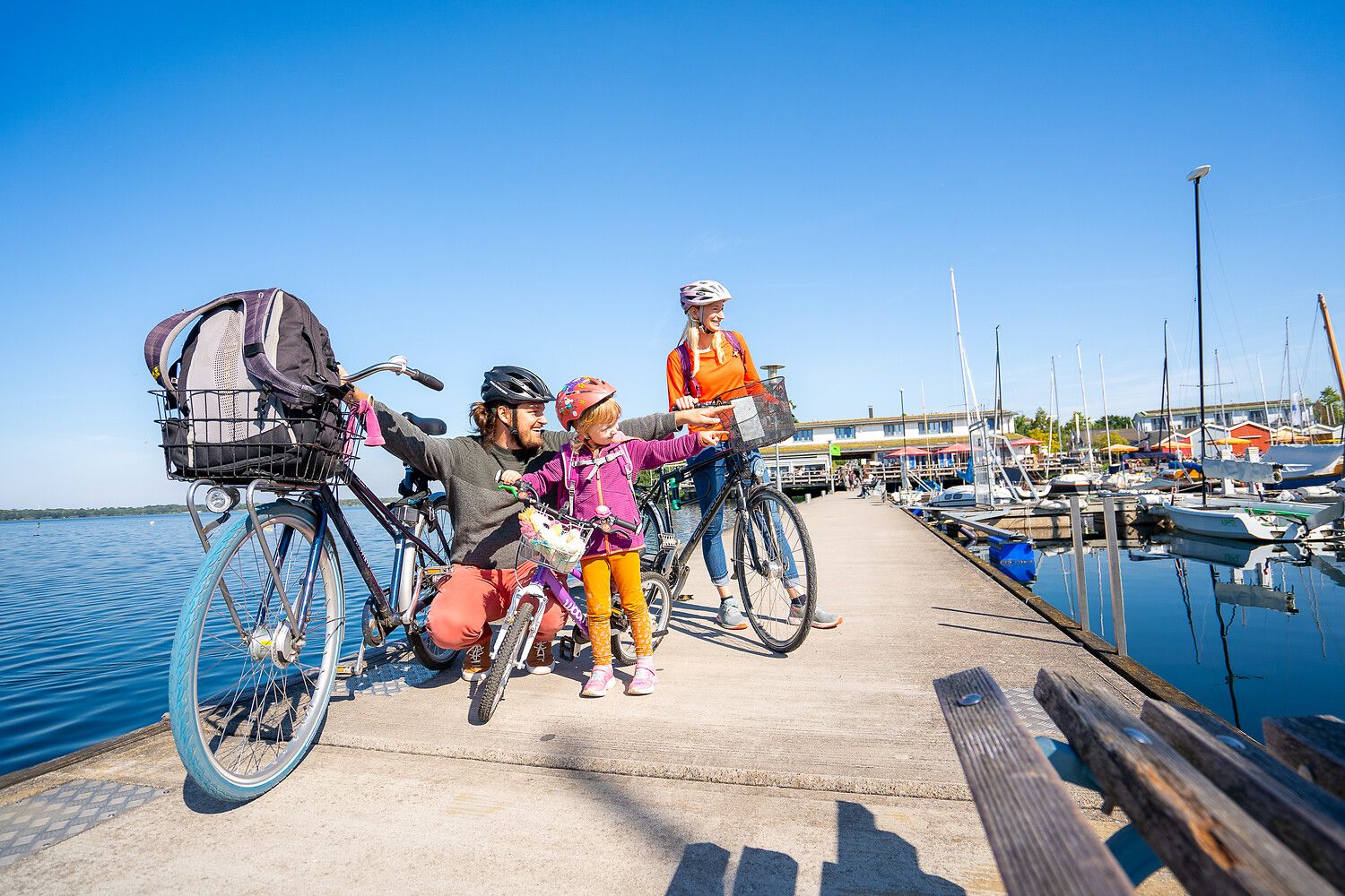
Lake views and fresh air – cycling by the water in the Leipzig region
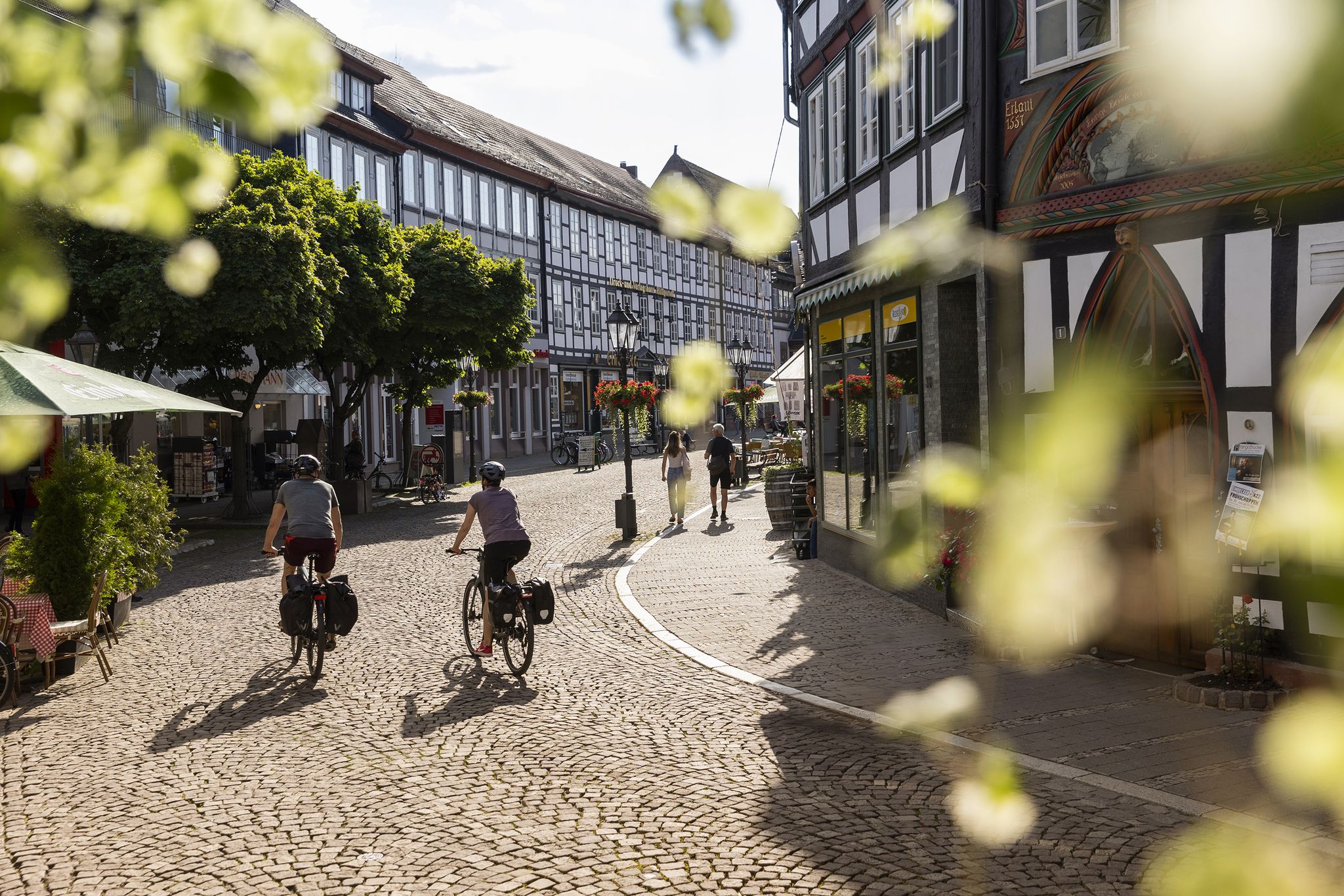
Experience cultural history on D-Route 3 – European Cycle Route R1
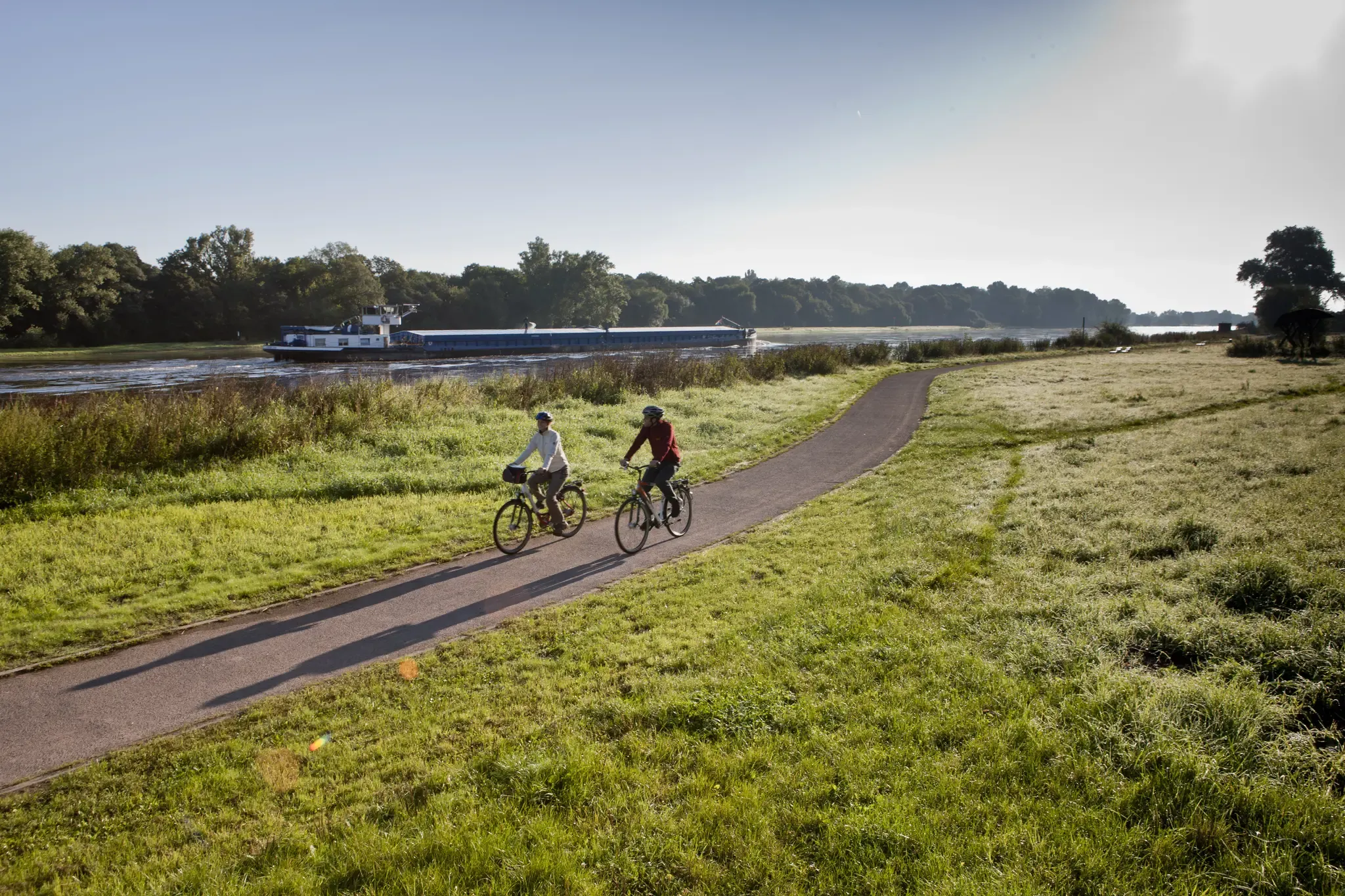
Ride the Elbe Cycle Route through Saxony-Anhalt
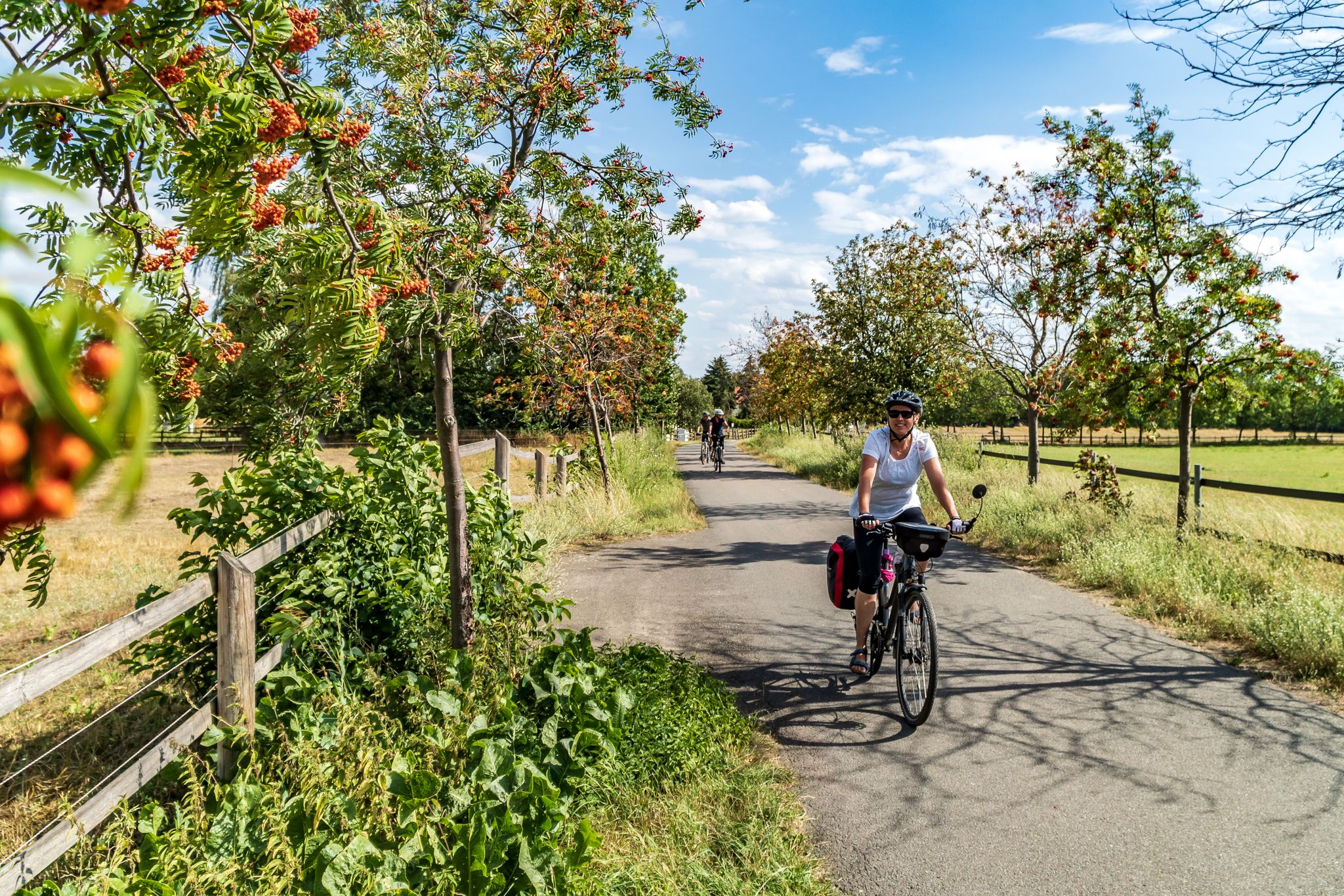
Cycling into the countryside – urban escapism around Leipzig
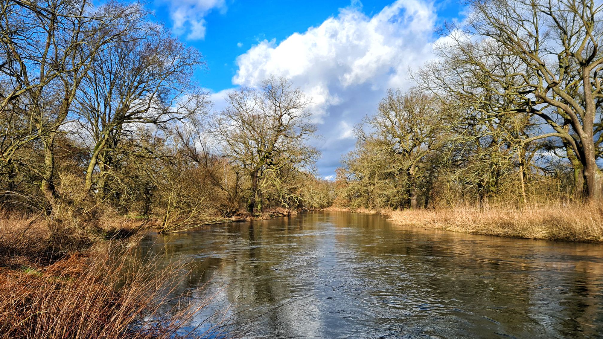
Stage hike 'From the Oder to the Elbe and on to the Saale'
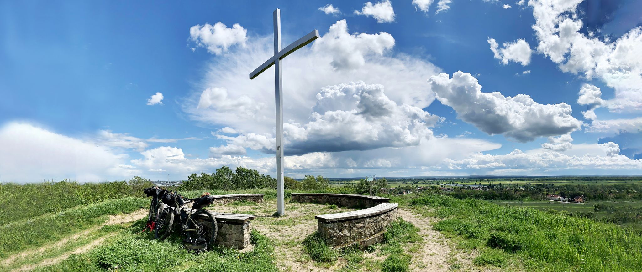
Romanticism on the Elbe River — cycling around the MDV north network
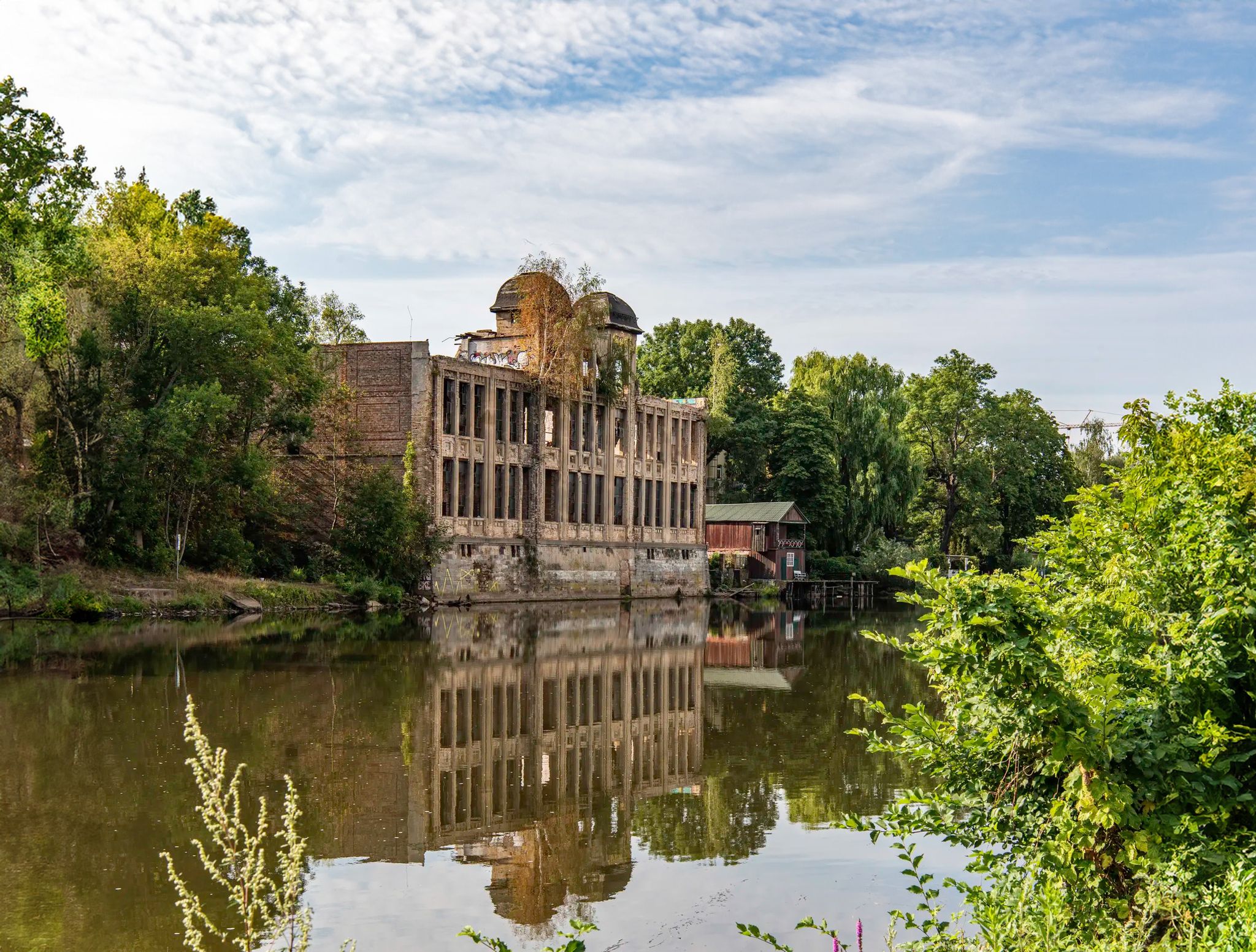
Abandoned and forgotten — mysterious lost places around Leipzig
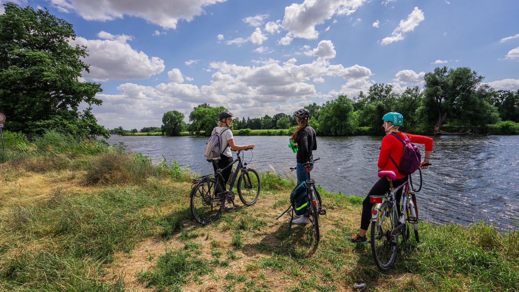
The Mulde Cycling Path
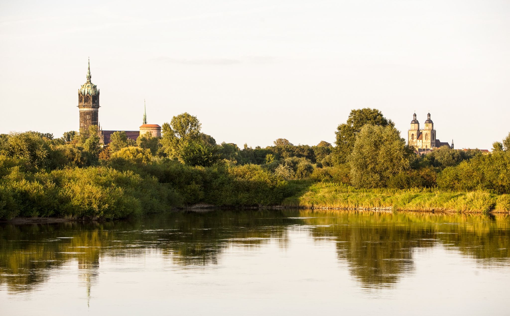
Holiday in Germany – Discover Saxony-Anhalt by bike
Other adventures in Anhalt-Bitterfeld


Tips from the Community

Lake Ludwig near Holzweißig (Saxony-Anhalt) is an idyllic natural bathing lake that originated from a former open-cast lignite mine in Holzweißig-West. It offers a popular sandy beach with a designated swimming area, good water quality, and is a peaceful destination for hikers and cyclists near Bitterfeld.
2
0

A stone circle built from a combination of Western tradition (ancient Celtic building knowledge) and Eastern tradition (Feng Shui) with the principles of general astrology, which explores the forces and effects of the earth and cosmos on humanity. In the spring of 2021, three Feng Shui masters met and discussed how to energetically activate Germany, which was internally devastated. The aim was to give the German sickness and the absolute low point of German powerlessness and willpower a chance to end. The stone circle in Kriena is considered an experiment, as it is unique to date in its double-circle design. It has an outer diameter of 10 meters and consists of 43 individual stones: two circles around a central stone measuring 2.40 meters and weighing 10.65 tons. All the stones together weigh 65 tons.
2
0
Between Bitterfeld and Delitzsch in Saxony-Anhalt, there are now forests and flowering meadows that many people enjoy during their leisure time. This wasn't always the case. The former lignite mining area was reforested by hand over decades by the Nicklich family. Source: https://www.dbu.de/news/einweihung-nicklich-weg-anerkennung-fuer-natureinsatz/
6
0
The Mulde runs exclusively in the North German Plain, initially flowing through the Saxon Uplands and passing Grimma, Nerchau and Trebsen. Approximately at Wurzen, along whose western edge it runs, the Mulde reaches the Elbe-Mulde Lowland. It subsequently flows through Eilenburg and Bad Düben and shortly thereafter leaves Saxon territory. The remaining course to its mouth is covered by the Mulde in Saxony-Anhalt. Further downstream, until 1975, the Mulde flowed west of the two towns Pouch and Friedersdorf in the area of today's Goitzschesee. Since then, it has been dammed up east of the two towns in the Muldestausee – a former open-cast mine. Subsequently, the Mulde flows past Muldenstein, Jeßnitz, Raguhn and Dessau and, after 147 km, flows into the Elbe between Dessau and Roßlau.[2] The revitalization project „Wilde Mulde“ for the lower course in Dessau was recognized in November 2018 as an official project of the UN Decade on Biodiversity.[11][12] Source https://de.wikipedia.org/wiki/Mulde_(Fluss)
4
0
Although the confluence of the two source rivers takes place at approximately half the total running length of the Mulde, the Freiberger and Zwickauer Mulde already contribute over 80% of the total water volume to it. This is due, on the one hand, to the shape of the catchment area, which is very wide in the Ore Mountains and narrows towards the Elbe, and on the other hand, to the higher precipitation in the mountains and the simultaneously higher proportions of runoff water. The shape of the catchment areas also means that the longer Zwickauer Mulde is the smaller of the two source rivers at the confluence. The strongly dominating hydrological main branch of the Freiberger Mulde river system is the Zschopau. In its upper catchment area, it is the Flöha, a namesake tributary, that contributes the larger water flow and is thus the actual source river of the Mulde. Via this main flow path, the Mulde is around 267 kilometers long, and via the longest flow path (Zwickauer Mulde) a good 314 kilometers.[3] The Mulde catchment area shows total gradients of 600 to 900 meters for many important flow paths, so that exceptionally high flow velocities prevail here for Northern Germany. The Mulde is sometimes even referred to as the fastest-flowing river in Central Europe.[10] Source https://de.wikipedia.org/wiki/Mulde_(Fluss)
5
0
The Mulde, also known as Vereinigte Mulde or Verein. Mulde, is a left-hand, non-navigable tributary of the Elbe. It is formed southeast of Leipzig near Sermuth (Saxony) by the confluence of two large headwaters, the longer Zwickauer Mulde and the Freiberger Mulde, which drains a larger catchment area with a greater discharge. The river's catchment area covers large parts of Saxony and, in particular, by far the largest part of the northern slopes of the Ore Mountains. With a discharge of approximately 73 m³/s at its mouth[8], it is the fourth-largest tributary of the Elbe. The old name form of the Mulde, Milda, is translated by name researchers as "the watery".[9] The word component "Mel", referring to grinding, is sometimes associated with the name in view of the multitude of mills operated early on the river, which disregards the fact that river names represent the oldest, often Slavic or Celtic, geographical name layer. Source https://de.wikipedia.org/wiki/Mulde_(Fluss)
4
0
Frequently Asked Questions
What are some of the most popular natural monuments in Anhalt-Bitterfeld?
Visitors to Anhalt-Bitterfeld particularly enjoy Lake Ludwig, a serene bathing lake formed from a former lignite mine, known for its sandy beach and good water quality. Another favorite is the Arboretum Burgkemnitz, a beautiful garden with diverse trees and shrubs within a castle park. The Untere Mulde River is also a popular natural monument, offering scenic views and a rich ecological environment.
Are there family-friendly natural monuments in Anhalt-Bitterfeld?
Yes, many natural monuments in Anhalt-Bitterfeld are suitable for families. Lake Ludwig offers a designated swimming area and sandy beach, perfect for a family day out. The Arboretum Burgkemnitz provides green spaces and a pond for leisurely strolls. Additionally, the Untere Mulde River and Blauer See (Dübener Heide) are great for exploring nature with children.
What unique geological features can I explore in Anhalt-Bitterfeld?
Anhalt-Bitterfeld is home to several fascinating geological natural monuments. The Lindenstein in Sandersdorf is a notable erratic boulder. You can also find the Hilgenstein Baasdorf, a nearly 5-meter-long granite block transported by glaciers, which also holds historical significance. The region also features occurrences of 'Grauwacke' (gray sandstone) in areas like Kleinpaschlebener Vorsprung and Trinum, offering insights into ancient marine environments. The Blauer Stein in Locherau is another striking erratic boulder, known for its bluish-green color.
Where can I find ancient or notable trees in the region?
Zerbst (Anhalt) is particularly rich in ancient and notable trees. You can find protected groups of trees like 'Plantagengruppen,' 'Sumpfzypressengruppen,' and individual specimens of 'Tulpenbäume' and 'Geweihbäume' (Kentucky coffeetrees) at Zerbst castle. The 'Winterlinde' in Zerbst can be over 1000 years old, and impressive 'Roßkastanie' (horse chestnut) trees are found in Holzweißig. The Arboretum Burgkemnitz also showcases a variety of trees and shrubs.
Are there any natural monuments with historical significance?
Yes, several natural monuments in Anhalt-Bitterfeld have historical ties. The Hilgenstein Baasdorf, an erratic boulder, was a sacred site during the Bronze Age. The 'Hunger Stones' in the Elbe River, which emerge during droughts, bear inscriptions dating back to the 15th century, serving as historical warnings of hardship. Cösitz Castle, while a man-made monument, is adjacent to the Cösitzer Park with old copper beech trees, adding a historical natural element.
What kind of outdoor activities can I do near the natural monuments?
The region around Anhalt-Bitterfeld's natural monuments offers diverse outdoor activities. You can find numerous running trails, such as those around Lake Goitzsche. For cyclists, there are many road cycling routes, including those around the Großer Goitzschesee. Gravel biking is also popular, with routes like the Elbe Riverside Trail. The Goitzsche Lake Region itself is a hub for recreation, offering swimming, sailing, and hiking.
Where can I go birdwatching in Anhalt-Bitterfeld?
The Werbeliner See, a former mining area now a nature reserve, is an excellent spot for birdwatching in Northern Saxony. Its unique sandbank islands provide diverse habitats for numerous bird species, making it a prime destination for ornithologists and nature photographers throughout the year.
What is the Goitzsche Lake Region known for?
The Goitzsche Lake Region is a remarkable example of successful land reclamation, transforming a former lignite open-cast mine into a vibrant recreational and natural area. It's known for its extensive network of cycling and hiking trails, water sports like swimming and sailing, and landmarks such as the Pegelturm and Bitterfelder Bogen. The Goitzsche is also notable for being Germany's second-largest amber deposit, with nine different types of amber found there.
Are there any protected floodplain forests in Anhalt-Bitterfeld?
Yes, the Steckby-Lödderitzer Forst, part of the Middle Elbe Biosphere Reserve, is home to the largest complex of floodplain forest in Central Europe. Designated a UNESCO biosphere reserve, it features diverse river and floodplain structures, including oxbow lakes, and provides a crucial habitat for rare species like the Elbe beaver.
What do visitors enjoy most about the natural monuments in Anhalt-Bitterfeld?
Visitors appreciate the diverse natural beauty and the blend of recreation and history. Many enjoy the peaceful atmosphere of places like Lake Ludwig for swimming and relaxation. The well-maintained facilities and green spaces at spots like the Arboretum Burgkemnitz are also highly valued. The region's ability to transform former industrial landscapes into thriving natural areas, such as the Goitzsche Lake, is often highlighted as a unique and inspiring aspect.
Are there any hidden gems among the natural monuments?
For those seeking tranquility, the 'Goitzsche Wilderness' within the larger Goitzsche Lake Region offers quieter, more natural sections away from the main recreational hubs. The Blauer See (Dübener Heide) is also described as a beautiful, quiet lake nestled in the forest, perfect for those looking for peace in nature.
Can I find any unique natural monuments related to ancient trees?
Beyond the general notable trees in Zerbst, the Ginkgo Park in Roitzsch is a unique natural monument. It features a collection of ancient and distinctive Ginkgo trees, known for their unique fan-shaped leaves and resilience, offering a serene and aesthetically pleasing natural experience.
Most popular routes in Anhalt-Bitterfeld
Most popular attractions in Anhalt-Bitterfeld

Get inspired with the komoot mobile app


Didn’t find what you were looking for?
Find even more amazing natural monuments in Anhalt-Bitterfeld by checking out the top Highlights region by region:
Explore more
Extend your search for the best caves by checking out these guides of the top ones in Anhalt-Bitterfeld:
