Top 20 Natural Monuments in Rhein-Pfalz-Kreis
Best natural monuments in Rhein-Pfalz-Kreis are characterized by the Rhine river and its historical course, offering unique ecosystems and recreational opportunities. This region, located in Rhineland-Palatinate, features diverse landscapes including wetlands, floodplains, and forests. The area provides habitats for a variety of flora and fauna, making it a destination for nature exploration.
Top natural monuments in Rhein-Pfalz-Kreis
- The most popular natural monuments is Old Rhine Floodplains — Black Forest, a river area that offers paths along the Old Rhine…
Last updated: September 29, 2026
Hinterer Roxheimer Altrhein Nature Reserve
Highlight • Natural Monument
Translated by Google •
Tip by

Silbersee Recreation Area
Highlight • Lake
Translated by Google •
Tip by

Sign up now to discover places like this
Get recommendations on the best single tracks, peaks, & plenty of other exciting outdoor places.
Old Rhine Floodplains — Black Forest
Highlight • River
Translated by Google •
Tip by

Kräppelweiher
Highlight • Lake
Translated by Google •
Tip by

European Bee-eater Observation Point at the Gravel Pit
Highlight • Viewpoint
The bee-eaters can be observed here from a few meters and that is a real experience.
- There …
Translated by Google •
Tip by

Altrheinweg in the Prinz-Karl-Wörth Nature Reserve
Highlight (Segment) • Trail
Translated by Google •
Tip by

Tafelsbrunnen Spring
Highlight • Natural Monument
historical-association-speyer.de/?p=167
Translated by Google •
Tip by

Kistnerweiher
Highlight • Lake
Translated by Google •
Tip by

Straightening of the Rhine near Mechtersheim in the 19th century
Highlight • Historical Site
Translated by Google •
Tip by

Kistnerweiher Nature Reserve
Highlight • Lake
Translated by Google •
Tip by

Sign up for free to discover even more natural monuments in Rhein-Pfalz-Kreis.
Already have an account?
Start today with a free account
Your next adventure awaits.
Popular around Rhein-Pfalz-Kreis
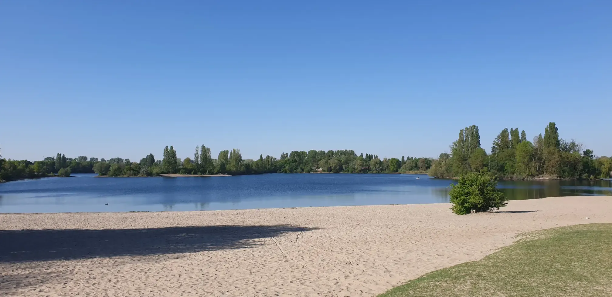
Jump right in! Swimming lakes in the Rhine-Neckar Triangle
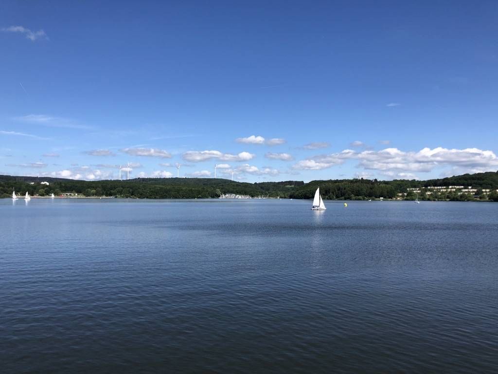
The best swimming lakes in Rhineland Palatinate and Saarland
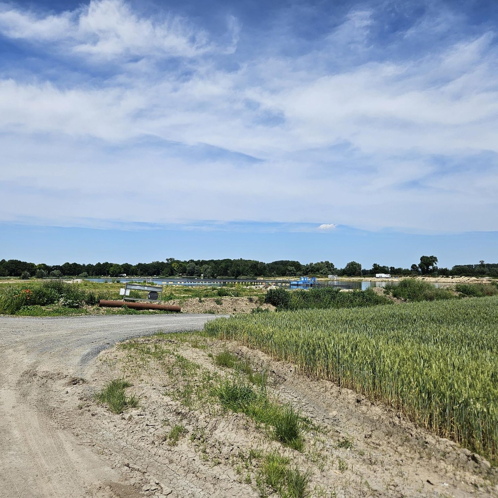
Cycling in Rhein-Pfalz-Kreis
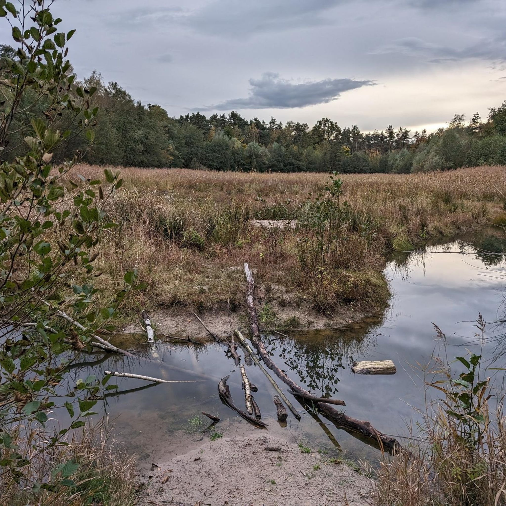
Hiking in Rhein-Pfalz-Kreis
Road Cycling Routes in Rhein-Pfalz-Kreis
Running Trails in Rhein-Pfalz-Kreis
MTB Trails in Rhein-Pfalz-Kreis

Gravel biking in Rhein-Pfalz-Kreis

Mountain Hikes in Rhein-Pfalz-Kreis


Tips from the Community

Further expenses arose from leveling the surrounding area and creating a "privy." The leveling work was carried out by "Schopp, Bausch and Associates." A total of 285 florins were spent during this fiscal year. The account book for the year 1857/58 lists under “Beautification of the Tafelsbrunnen”: “Stegmayer Matthias, carpenter, for the execution of the carpentry work on the vestibule of the Tafelsbrunnen 108 fl. Wüst Andreas, sheet metal worker, for sheet metal work on the drinking hall 123 fl. Lang Matthias, bricklayer, for brickwork 882 fl. Hollinger Wilhelm, bricklayer, for work on the vestibule 11 fl. Guttermann Jakob, metalworker, for fittings on the toilet door 1 fl. Wingerter Konrad, whitewasher, for oil painting of the toilet 1 fl. Weber Christian, carpenter, for a bench 5 fl. In total, 1135 guilders and 2 kreuzers were spent on the Tafelsbrunnen in this financial year. According to an invoice included in the files, the metalworker Friedrich Steinbauer received 12 fl. for the construction of “three pipes with supports.” The ravages of time have taken their toll. The artistic work was destroyed. However, it was replaced with a new one. During the last war, the drinking hall was demolished for scrap metal. Today, a wooden pavilion with seating stands there, once again inviting people to rest. Source: Contributions to Speyer's City History, Volume 1, Fritz Klotz, City History Miscellany
0
0
According to a meeting record from August 26, 1856, "part of the planned work" had already been completed, without it being possible to "determine who had actually ordered this work." Apparently, Heppenheimer had begun the work on his own initiative. At another meeting, Heppenheimer presented a plan with a cost estimate of 1,449 guilders. He suggested that the city could contribute 500 guilders and cover the remaining 249 guilders. The city council agreed and assigned him responsibility for the work. The government approved the cost estimate on January 15, 1857, and stipulated that "the work was to be carried out at the city's expense." It authorized the city to "accept the offer of city council member Heppenheimer to inject the sum of 700 guilders into the city treasury after the completion of this work," and "if the city council intended to name the Tafelbrunnen the Ludwigsbrunnen in the future, we look forward to another well-founded proposal from them." The city's accounting books provide some insight into the design of the fountain complex. In the 1856/57 accounting book, for example, the following is listed under "Extraordinary Expenses": "1. Heppenheimer Friedrich as director of the Tafelbrunnen work - 132 guilders (abbreviated to - fl in the following text).
0
0
The city councilors weren't averse to the idea, but first obtained an expert opinion from the well-known Speyer mathematician Schwerd. Schwerd informed the city council that, according to his measurements from 1822 – Schwerd began his measurements at the small Speyer base "on the dam that runs from the so-called Davidsbrunnen to the Rhine dam" – the pavement of the Altpörtel passage was 4.32 meters higher than the central spout of the Tafelsbrunnen (in 1820 Schwerd referred to it as the Davidsbrunnen!). Since, as is well known, water doesn't run uphill, and there was neither a waterworks nor a water tower at the time, this plan was abandoned. Heppenheimer then offered to "use this sum of 500 guilders to beautify the Tafelsbrunnen itself, if the city council approves naming it Ludwigs-Tafelsbrunnen." The city council unanimously approved this plan. To ensure that the spring and its surroundings lived up to their new name, Heppenheimer had a plan and cost estimate drawn up. In a further offer, he even promised 700 guilders if the city "implemented these plans as quickly as possible" and allowed him to participate in their implementation.
0
0
Anyone who makes the effort to visit the Tafelbrunnen (Table Fountain) will find the year 1857 carved above the three fountain pipes. How did this come about? The most popular tourist destination at that time was Berghausen, "because it boasts a garden in the English style, which is truly worth a visit in its charming, idyllic setting, and the inn leaves nothing to be desired" (August Becker: Pfalz und Pfälzer – 1857). The journey to the Mattern'sche Wirtschaft (later "Pfälzer Hof") – this is what August Becker was referring to – was long for many a noble Speyer family, and thirst was often great. So the Tafelbrunnen (Table Fountain) came to the rescue: for some, it offered clear, cool water, for others, it provided contemplative peace. At that time, a wealthy bachelor lived in Speyer, the city councilor and landowner Daniel Friedrich Heppenheimer (1798-1860). At a city council meeting in 1855, he proposed diverting the water from the Tafelbrunnen to Königsplatz and erecting a running fountain there in honor of King Ludwig I of Bavaria. The necessary funds could be raised through a subscription among the citizens. He himself offered to donate 500 guilders for this purpose. This was a considerable sum at the time.
0
0
The Tafelsbrunnen (Table Fountain) between Speyer and Berghausen was once a popular excursion destination for the people of Speyer. Much has changed over the years, however. However, one must gratefully acknowledge that the fountain itself is in good condition. A roof with seating provides a welcome place to rest. The distinguished Speyer field name researcher, high school professor Dr. Engelhardt, was able to prove that the Tafelsbrunnen was called the St. Afra Fountain in the Middle Ages – a chapel in honor of St. Ulrich and St. Afra once stood nearby (the field name "behind St. Ulrich" recalls this) – and was first mentioned in a document in 1295 (for more information, see Engelhardt: Historical Memories). A pious legend tells of the spring: St. Afra was the first person to call it a "Table Fountain." Servatius (Bishop of Tongeren between 348 and 384), "when he was tormented by burning thirst in the Speyer March, made the sign of the cross with his finger on the ground, whereupon a living spring bubbled from the ground, which never dried up from then on" (according to Joh. Geissel). The Speyer historian Wilhelm Eysengrein (1564), who first reported this legend (without, however, citing a source, as is his custom), did not specify a specific location, and so, since there had been no spring in the Speyer area in recent times other than the Tafelsbrunnen, St. Servatius was associated with him. The discovery of a Roman coin is noteworthy: "Found in 1894 near the Tafelsbrunnen." The coin bears the inscription: "Sabina Augusta Hadriani Augusti." It was thus minted in honor of Empress Sabina, Hadrian's wife (117-138). In a lecture Dr. Engelhardt gave in 1911 on Speyer's field names, he stated, among other things, about the Tafelsbrunnen (Table Fountain): "The naming after St. Afra served only to suppress the memory of the pagan goddess who sheltered the souls of small children here until the stork delivered them to the happy wife." Dr. Engelhardt apparently later abandoned this opinion. Be that as it may, the people of Speyer claim that the stork brings newborn children to the Tafelsbrunnen pond—it lies below the spring and is fed by it.
0
0

The straightening of the Rhine by the Baden engineer Tulla shortened the shipping route between Basel and Worms by 81 km and better protected the region from flooding. However, this shifted the flood risk downstream of the Rhine and affected biodiversity.
0
0
The straightening of the Rhine by the Baden engineer Tulla shortened the shipping route between Basel and Worms by 81 km and better protected the country from flooding. However, this shifted the risk of flooding downstream and affected biodiversity. Starting in 1817, the first six cuts were made north of Karlsruhe. First, a guide ditch was dug, from which the river then carried out its own washing of soil until the new riverbed was formed and could be reinforced. At times, up to 3,000 day laborers were working on it at the same time. The Upper Rhine correction was not completed until 1876, after almost sixty years of construction. The straightening separated the area of the Rheinschanze near Mechtersheim from the Palatinate side. As compensation, Mechtersheim received the island of Flotzgrün, which is enclosed by the Berghausen Altrhein.
0
0

These birds are absolutely worth seeing. In May/June they are particularly active and so are the birdwatchers. On weekends, space tickets are sometimes given out in the observation booth.😉
1
1
Frequently Asked Questions
What unique natural features can I explore in Rhein-Pfalz-Kreis?
The Rhein-Pfalz-Kreis is defined by the Rhine river and its historical course, offering diverse ecosystems. You can explore expansive wetlands, ancient Rhine arms, and alluvial forests within the broader Rheinauen (Rhine Floodplains). A notable example is the Old Rhine Floodplains — Black Forest, which provides paths along the Old Rhine with access to the water and diverse habitats.
Are there family-friendly natural monuments in Rhein-Pfalz-Kreis?
Yes, several natural monuments are well-suited for families. The Silbersee Recreation Area is a popular lake with a small kiosk and beach, ideal for a relaxing day. The Old Rhine Floodplains — Black Forest also offers easy-to-walk paths that are enjoyable for all ages, with opportunities to access the water. Additionally, the Altrheinweg in the Prinz-Karl-Wörth Nature Reserve is a scenic trail through forest and along the river, suitable for walking or cycling with children.
What kind of outdoor activities can I do near the natural monuments?
The region offers a variety of outdoor activities. You can enjoy extensive cycling networks, hiking, and even mountain biking. For cycling, explore routes like the "Rhine Cycle Route – View of Speyer Cathedral loop" from Heiligenstein (Pfalz). Hikers can find trails such as the "Beach Bar Silbersee – Take a break for a bit at the Old Rhine loop" from Bobenheim-Roxheim. For more options, check out the Cycling in Rhein-Pfalz-Kreis guide, the Hiking in Rhein-Pfalz-Kreis guide, or the MTB Trails in Rhein-Pfalz-Kreis guide.
Where can I go hiking near the natural monuments in Rhein-Pfalz-Kreis?
Many natural monuments offer excellent hiking opportunities. The Old Rhine Floodplains — Black Forest has paths along the Old Rhine. The Maudacher Bruch Nature Reserve, while technically in Ludwigshafen, is closely associated with the region and offers over 30 km of well-maintained trails. You can also find easy to moderate hiking routes like the "Beach Bar Silbersee – Take a break for a bit at the Old Rhine loop" or the "Forest Path in the Palatinate loop from Limburgerhof." For more detailed routes, refer to the Hiking in Rhein-Pfalz-Kreis guide.
What makes the Rheinauen (Rhine Floodplains) special?
The Rheinauen are considered the last natural paradises of the region, characterized by old Rhine arms and alluvial forests. They are crucial habitats for a rich variety of flora and fauna, significantly influenced by the Rhine's fluctuating water levels. These areas support many higher animal species in Germany, serving as breeding, spawning, feeding, and resting grounds. The Hördter Rheinauen, for instance, are home to rare and endangered species like the swallowtail butterfly and tree frog.
Can I observe wildlife at the natural monuments?
Yes, wildlife observation is a highlight. The Maudacher Bruch Nature Reserve is a crucial habitat for nearly 160 bird species, almost 500 plant species, and numerous insects, including almost 400 butterfly, beetle, and dragonfly species. The Rheinauen also provide diverse habitats for many animal species. You might even spot rare species like the European Bee-eater from the European Bee-eater Observation Point at the Gravel Pit.
What is the best time of year to visit the natural monuments in Rhein-Pfalz-Kreis?
The natural monuments offer beauty throughout the year, but spring and summer are particularly rewarding for observing flora and fauna. Spring brings vibrant blooms to areas like the Stromtalwiesen, and the weather is ideal for hiking and cycling. Summer allows for bathing opportunities in lakes like the Silbersee Recreation Area. Autumn offers beautiful foliage, while winter can provide unique, quiet landscapes for those interested in winter hiking, though some paths might be wet.
Are there natural monuments suitable for cycling?
Absolutely. The Rheinauen offer extensive cycling networks. The Altrheinweg in the Prinz-Karl-Wörth Nature Reserve is a very nice section suitable for cycling. The Maudacher Bruch also features 12 km of dedicated cycling paths. You can find numerous cycling routes, such as the "Rhine Cycle Route Rhenish Hesse – Rhine Riverbank Near Worms loop," in the Cycling in Rhein-Pfalz-Kreis guide.
Are there any historical aspects to the natural monuments in the region?
Yes, the natural landscape itself holds historical significance. The Maudacher Bruch, for example, is a former arm of the Old Rhine River that became separated around 900 BC, adding a historical dimension to its natural beauty. You can also visit the Straightening of the Rhine near Mechtersheim in the 19th century, which highlights a significant historical intervention in the river's course. Additionally, the Tafelsbrunnen Spring is listed as a historical site.
What are the Stromtalwiesen and why are they important?
The Stromtalwiesen are unique floodplain meadows found within the Rheinauen, characterized by extreme fluctuations in the Rhine's water levels. They are often flooded in spring but can dry out significantly in summer, fostering a special combination of water-tolerant and drought-tolerant plant species. This demanding environment makes them incredibly species-rich and a rare, endangered habitat type in Germany. They are crucial for observing rare plant communities and the wildlife they support.
What do visitors enjoy most about the natural monuments in Rhein-Pfalz-Kreis?
Visitors particularly appreciate the natural beauty and tranquility. Many enjoy the well-maintained paths along the Old Rhine, such as those at the Old Rhine Floodplains — Black Forest, noting the opportunity to access the water and observe nature. The idyllic and quiet atmosphere of places like Kräppelweiher and Neuhofer Altrhein is also highly valued, especially for relaxation and enjoying pure nature.
Are there any natural monuments that are particularly good for birdwatching?
Yes, the region is excellent for birdwatching. The Maudacher Bruch Nature Reserve is a crucial habitat for nearly 160 bird species. Additionally, the European Bee-eater Observation Point at the Gravel Pit is specifically designed for observing these colorful birds, making it a prime spot for bird enthusiasts.
Most popular routes in Rhein-Pfalz-Kreis
Most popular attractions in Rhein-Pfalz-Kreis

Get inspired with the komoot mobile app


Didn’t find what you were looking for?
Find even more amazing natural monuments in Rhein-Pfalz-Kreis by checking out the top Highlights region by region:
Explore more
Extend your search for the best caves by checking out these guides of the top ones in Rhein-Pfalz-Kreis:
