The 3 Most Amazing Peaks around Wahlheim
Mountain peaks around Wahlheim offer a diverse landscape characterized by significant elevations and scenic viewpoints. This region, primarily known for its rolling hills and vineyards, features several prominent summits that provide expansive vistas. The area's topography includes elevations such as the Kappelberg, the highest point in Rheinhessen, alongside other notable hills like Petersberg and Galgenberg. These features contribute to a varied natural environment suitable for exploration.
Best mountain peaks around Wahlheim
- The most popular mountain peaks is Herrgottspfad to Petersberg…
Last updated: August 5, 2026
Herrgottspfad to Petersberg Summit
Highlight • Trail
Translated by Google •
Tip by

Kappelberg Summit (Highest Point in Rheinhessen)
Highlight • Summit
Translated by Google •
Tip by

Sign up now to discover places like this
Get recommendations on the best single tracks, peaks, & plenty of other exciting outdoor places.
Sign up for free
Shelter on the Way to Kappelberg
Highlight • Mountain Hut
Translated by Google •
Tip by

Galgenberg
Highlight • Viewpoint
Showing Translation
Tip by

Start today with a free account
Your next adventure awaits.
Login or Signup
Tips from the Community

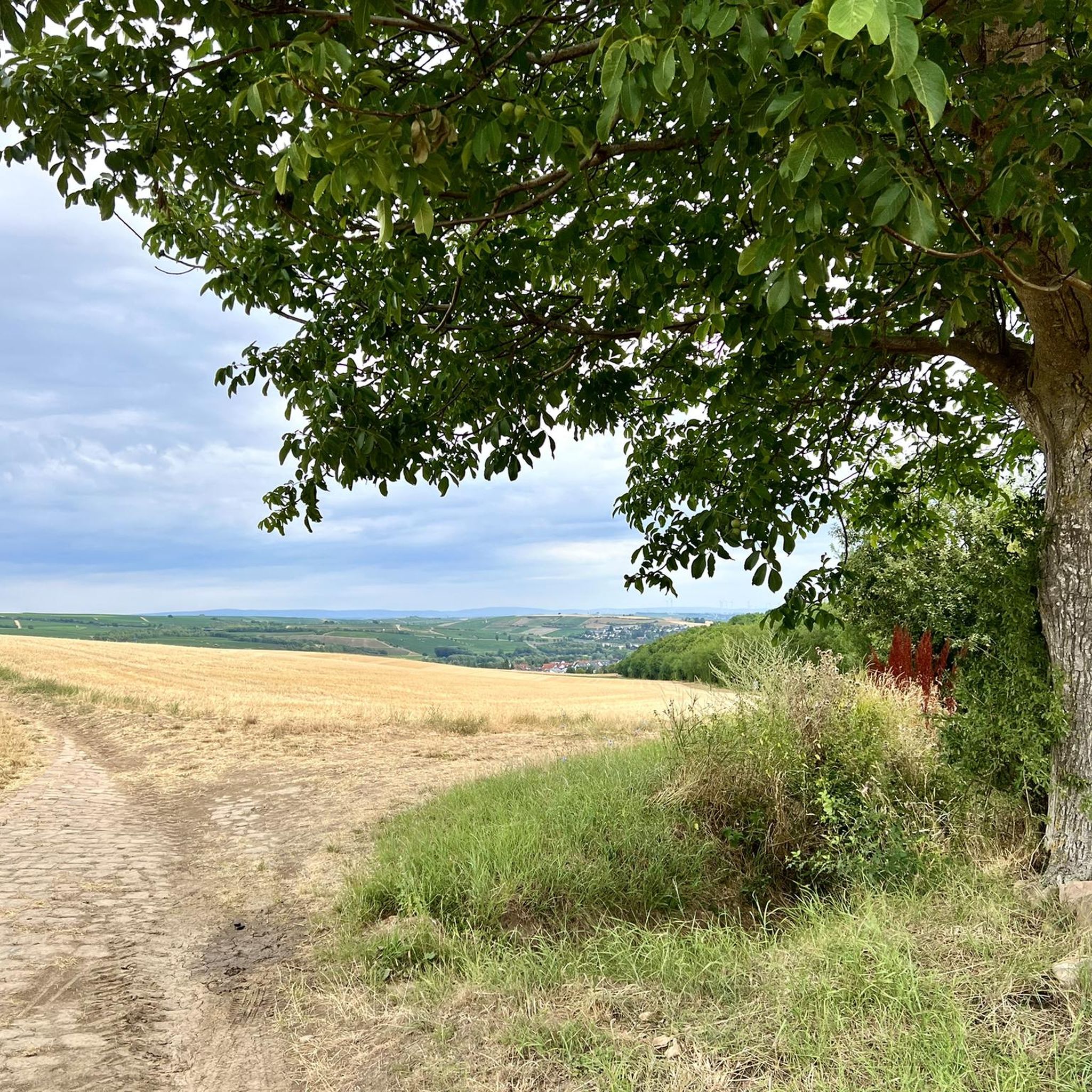
The Galgenberg is indeed a 250 m high elevation between Albig and Alzey-Schafhausen, I didn't want to believe it at first. The background is that here, mountain names are mostly used as vineyard names, and there is such a vineyard called "Galgenberg" in Badenheim near Sprendlingen, but not near us close to Alzey. Learned something new again. Nevertheless, the area can be recommended, because on my tour today I saw the Felderberg in the Taunus, the Melibokus on the Bergstraße, the Petersberg (Gau-Odernheim), the Hornberg (Framersheim), the Wartberg (Alzey) as well as the Donnersberg. That's quite a great haul!
0
0

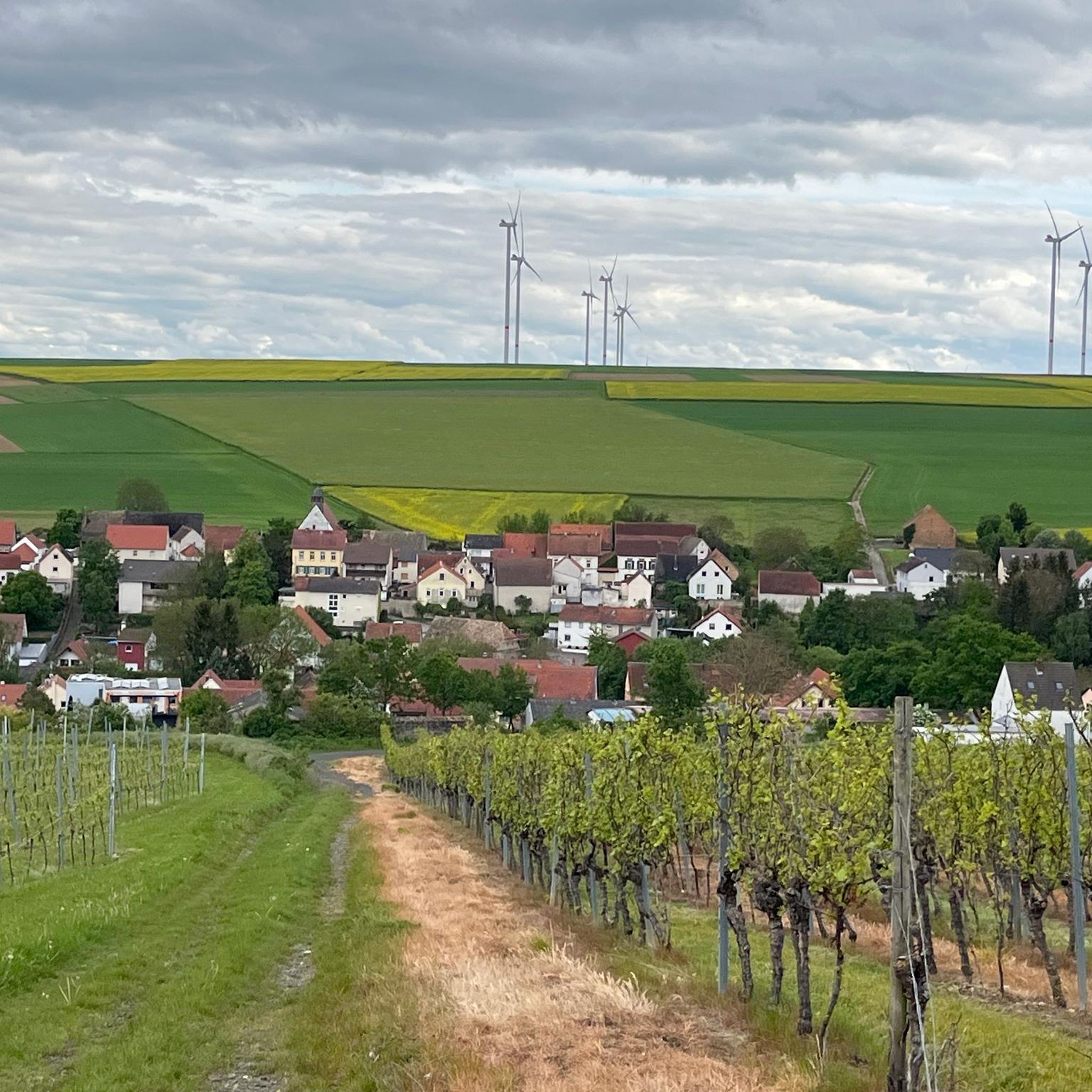
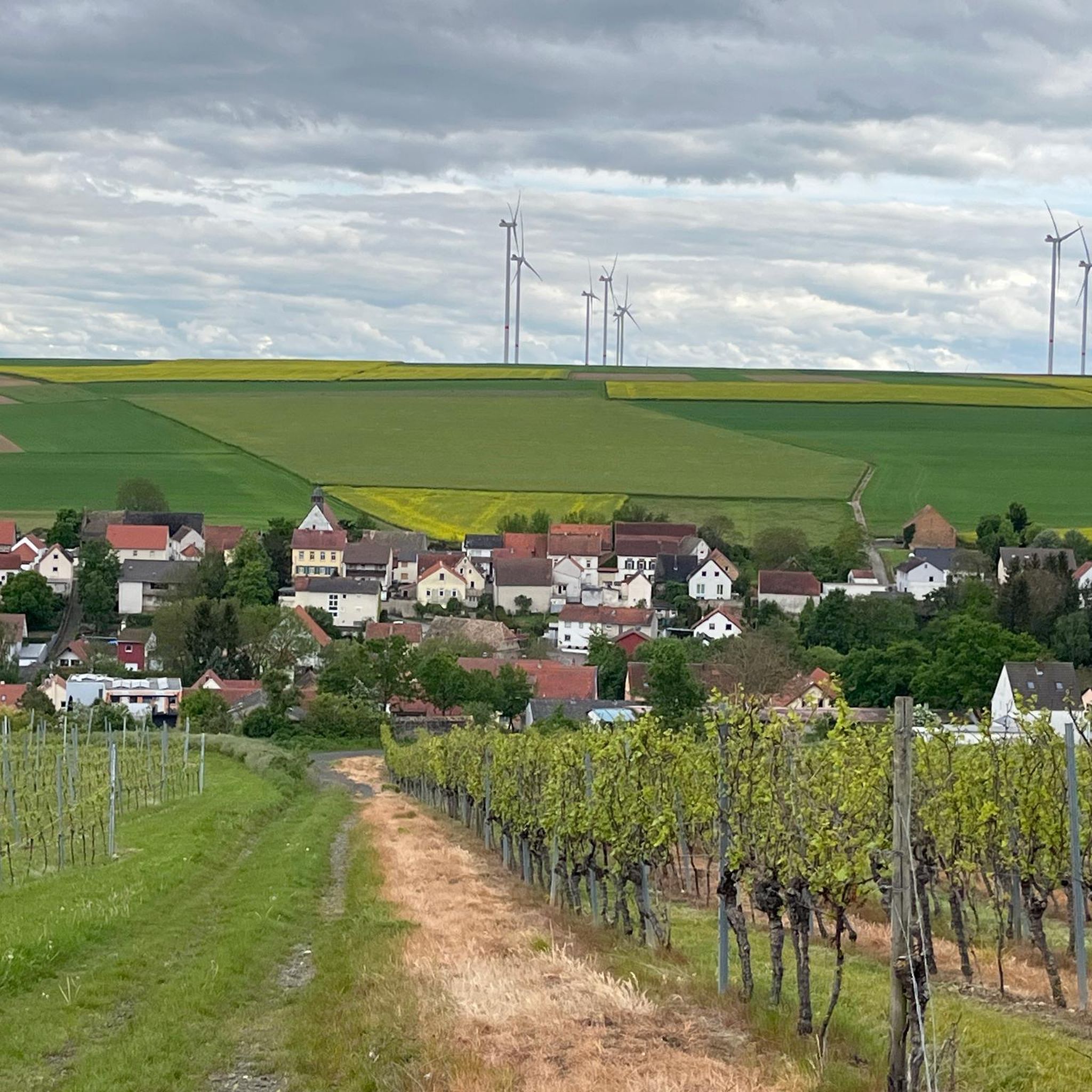
Firstly, from there, you have a wonderful panoramic view of the surrounding Rhenish-Hessian villages. At 245 m, the Petersberg is one of the defining hills of the Mainz Basin, as Rhenish-Hessian is known geologically. Unlike the other table mountains of the Rhenish-Hessian hills with their limestone caps, the Petersberg lacks these. In rainy seasons, this leads to landslides on the slopes due to water penetrating between the marl and sand layers – as in other places in the Mainz Basin. At the top of the Petersberg, you can still see the remains of the 10th-century surrounding wall of St. Peter's Church. The legend of the Three Sisters surrounds this church, as well as the pilgrimage chapel on the Nazarienberg in Mommenheim and the mountain church in Udenheim.
0
0

358m above sea level Some benches available
1
0

The narrow grass path was quite overgrown and was therefore not at all pleasant to walk on
1
0

The Herrgottspfad to Petersberg is part of the Way of St. James. Markings can be found before the ascent, opposite the former viewing bench
0
0

Stay on the main paths, even if it's a few kilometers longer. The single trails and sub-paths are largely overgrown and impassable.
1
1

The Kappelberg is 358 m above sea level. NHN the highest mountain in Rheinhessen. It is located in the Saar-Nahe mountains between Offenheim and Oberwiesen in the Rhineland-Palatinate district of Alzey-Worms, close to the Donnersberg district. Wikipedia
2
1

We can really score with our highest elevations in Rheinhessen :-), but for me as a lowland Tyrolean it's almost a mountain. There is a summit cross and a nice place to rest.
2
0
Frequently Asked Questions
Where are the mountain peaks mentioned in this guide located in relation to Wahlheim?
The mountain peaks highlighted in this guide, such as the Kappelberg Summit, Herrgottspfad to Petersberg Summit, and Galgenberg, are located in the broader Rheinhessen region, particularly around areas like Alzey-Worms and Gau-Odernheim. While Wahlheim itself is not known for significant mountains, these peaks are accessible from the general vicinity.
What is the highest point in the Rheinhessen region?
The highest point in the Rheinhessen region is the Kappelberg Summit, standing at 358 meters above sea level. It is situated in the Saar-Nahe mountains between Offenheim and Oberwiesen.
Are there family-friendly hiking options among these peaks?
Yes, the Kappelberg Summit is considered family-friendly. Additionally, the Shelter on the Way to Kappelberg, which is part of the trail to the summit, also offers a family-friendly experience.
What kind of views can I expect from these mountain peaks?
You can expect great views from several peaks. The Herrgottspfad to Petersberg Summit offers many beautiful viewpoints. From Galgenberg, visitors have reported seeing distant landmarks like the Felderberg in the Taunus, the Melibokus, and the Donnersberg.
Are there historical sites or natural monuments to see?
Yes, the Herrgottspfad to Petersberg Summit is a historical site, known for processions taking place on religious holidays for centuries. The Kappelberg Summit is also recognized as a natural monument.
What are the typical difficulty levels for hiking these peaks?
Most of the highlighted peaks, including the Herrgottspfad to Petersberg Summit, Kappelberg Summit, and Galgenberg, are rated as intermediate difficulty. The Herrgottspfad is described as a short, not particularly difficult climb.
What outdoor activities are available near these mountain peaks?
Beyond hiking the peaks, the region offers various outdoor activities. You can explore numerous cycling routes, including traffic-free options, or challenge yourself on mountain biking trails. For more details, check out the guides for Traffic-free bike rides around Wahlheim, Cycling around Wahlheim, and MTB Trails around Wahlheim.
Are there places to rest or take a break on the trails?
Yes, on the trail to the Kappelberg Summit, you'll find the Shelter on the Way to Kappelberg, which is a small hut. The Kappelberg Summit itself also has benches for resting, and the Herrgottspfad offers a long table to rest.
What do visitors particularly enjoy about these mountain peaks?
Visitors appreciate the great views and the sense of accomplishment, especially from the Herrgottspfad to Petersberg Summit. The Kappelberg Summit is noted for its summit cross and pleasant resting spot, offering a 'mountain' experience even for those from flatter regions.
Can I find forest areas near these peaks?
Yes, the Kappelberg Summit and the Shelter on the Way to Kappelberg are both located within forest environments, providing shaded sections for your hike.
Most popular routes around Wahlheim
Most popular attractions around Wahlheim

Get inspired with the komoot mobile app


Explore more
See even more amazing summits around Wahlheim with these guides:
