The 20 Most Amazing Peaks around Bas-Intyamon
Best mountain peaks around Bas-Intyamon, a municipality in the Fribourg canton of Switzerland, are situated within a mountainous region. The area offers access to several notable peaks, some directly within its borders and others in the immediate vicinity. This landscape provides diverse experiences for outdoor enthusiasts. The region is characterized by its alpine terrain and natural features.
Best mountain peaks around Bas-Intyamon
- The most popular mountain peaks is Le Moléson Summit, a summit that is easily accessible via funicular…
Last updated: October 10, 2026
Le Moléson Summit
Highlight • Summit
Tip by

Dent de Broc
Highlight • Summit
Translated by Google •
Tip by

Sign up now to discover places like this
Get recommendations on the best single tracks, peaks, & plenty of other exciting outdoor places.
Col de Soladier
Highlight • Mountain Pass
Translated by Google •
Tip by

Abländschen, Mittelberg
Highlight • Mountain Pass
Translated by Google •
Tip by

Vounetse Summit
Highlight • Summit
Translated by Google •
Tip by

Sign up for free to discover even more peaks around Bas-Intyamon.
Already have an account?
Start today with a free account
Your next adventure awaits.
Tips from the Community

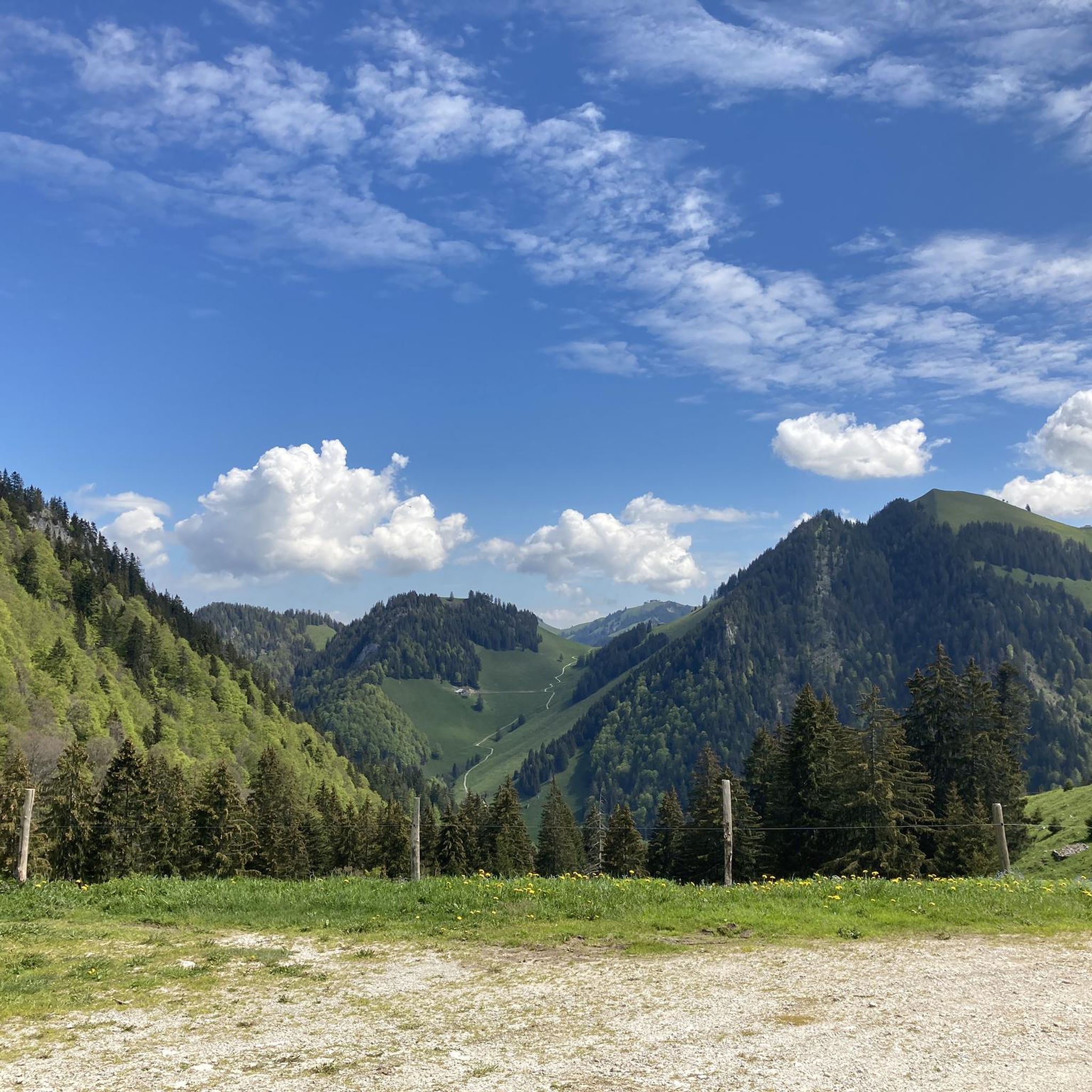
The 360-degree panorama From the summit, you can enjoy a gigantic panoramic view: To the north: The glittering Lake Geneva and the entire Mittelland region up to the Jura. To the south & east: The mighty peaks of the Mont Blanc massif and the Bernese Alps. 🍴 Gastronomy & Observatory Summit restaurant: The modern restaurant Le Sommet is located directly next to the mountain station. It offers a large sun terrace and local specialities (such as real Gruyère fondue). 🚡 Ways to the summit The comfortable option (train): From Moléson-Village with the funicular to Plan-Francey, then change to the large cable car, which takes you directly to the summit. The sporty option (hiking trails): Via the west flank: A beautiful, classic mountain hiking trail from Plan-Francey (approx. 1 hour 45 minutes, T2). Via ridge paths: Those who ascend via the via ferratas (Le Pilier or La Face) reach the main summit after exiting via a magnificent, secured ridge path in approx. 20 minutes.
1
0

Superb pass but be careful when leaving Sannen, the end of the climb is full of slopes at 15-16%
0
1

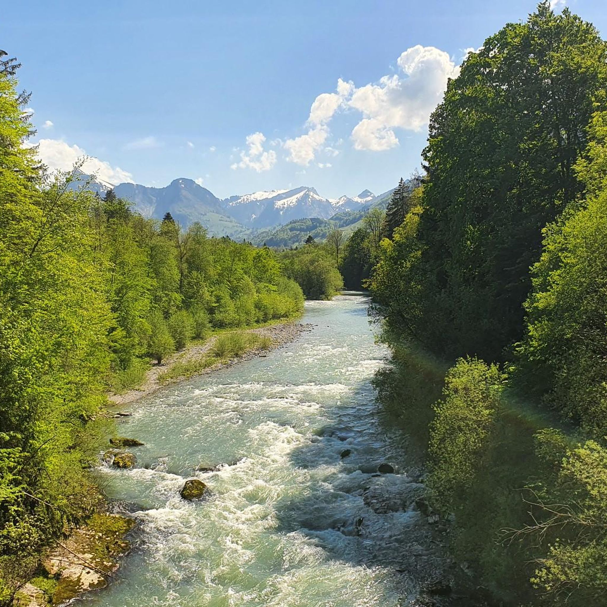
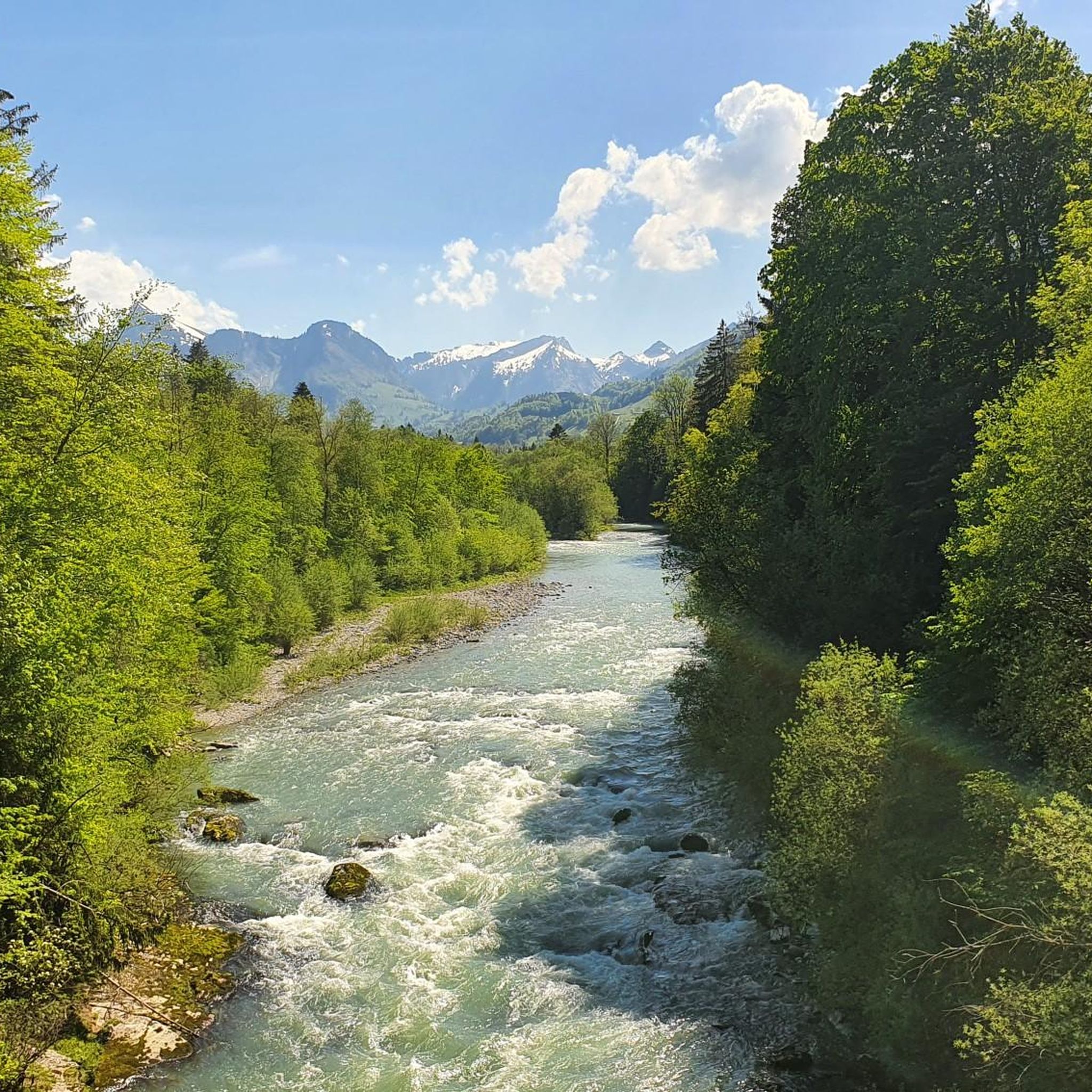
The Mittelberg is a mountain pass near the language border with western Switzerland. To the north, it descends to Abländschen at the foot of the magnificent Gastlosen mountain range, while to the south, the Grischbach Valley awaits. While the pass is paved, there are various trails for mountain bikers to choose from in various directions.
1
0

Destination of various snowshoe tours (271, ...)
0
0

Bus stop 'Abländschen, Mittelberg'. The PostBus line was set up to facilitate travel for athletes during the summer period. It serves the Fenils Valley from Saanen, the Mittelberg Pass, Abländschen and Jaun from May 4 to October 27, 2024, including general holidays and bridge days. Check the bus timetable here: https://www.gruyerepaysdenhaut.ch/fr/mobilite/bus-alpin-jaun-saanen
1
0

Done this morning on the north slope, climb, by mountain bike. Everything goes very well until Gros Caudon, 1450m. Then you have to push (but the mountain bike can be towed alone!) over a 130m drop. The first half is bad, steep on a gullied path, then ends in grass. It's painful but done pretty quickly. The continuation over the Col de Jaman via Soladier and Les Verraux requires passing large, very muddy landslides. But easy.
1
2

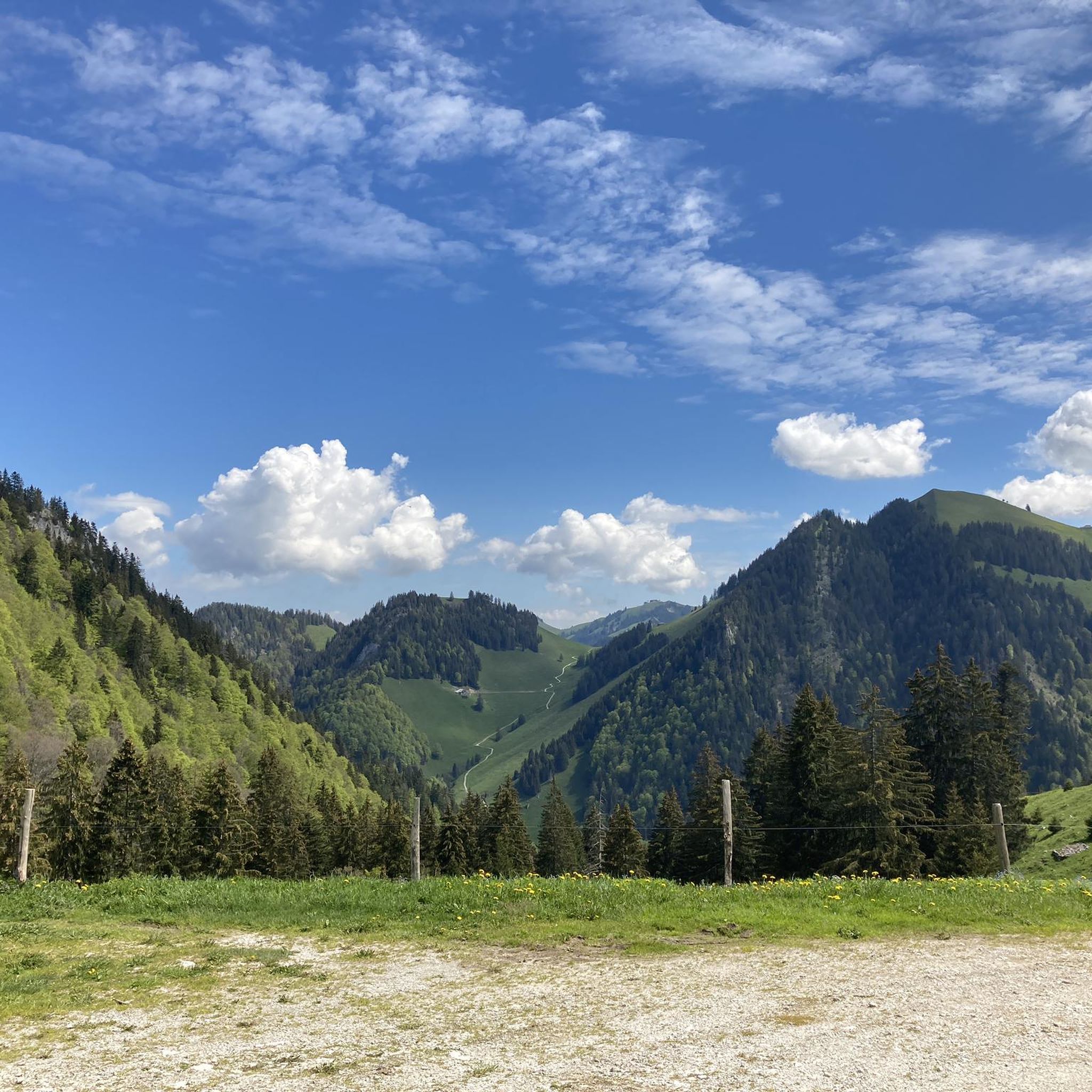
The pass offers a beautiful view of the Vanil des Arts. Between the Col de Soladier and the Col de Jaman, the path is easy via the Chemin Transversal. From Montreux, however, the last part of the ascent is very steep.
0
0

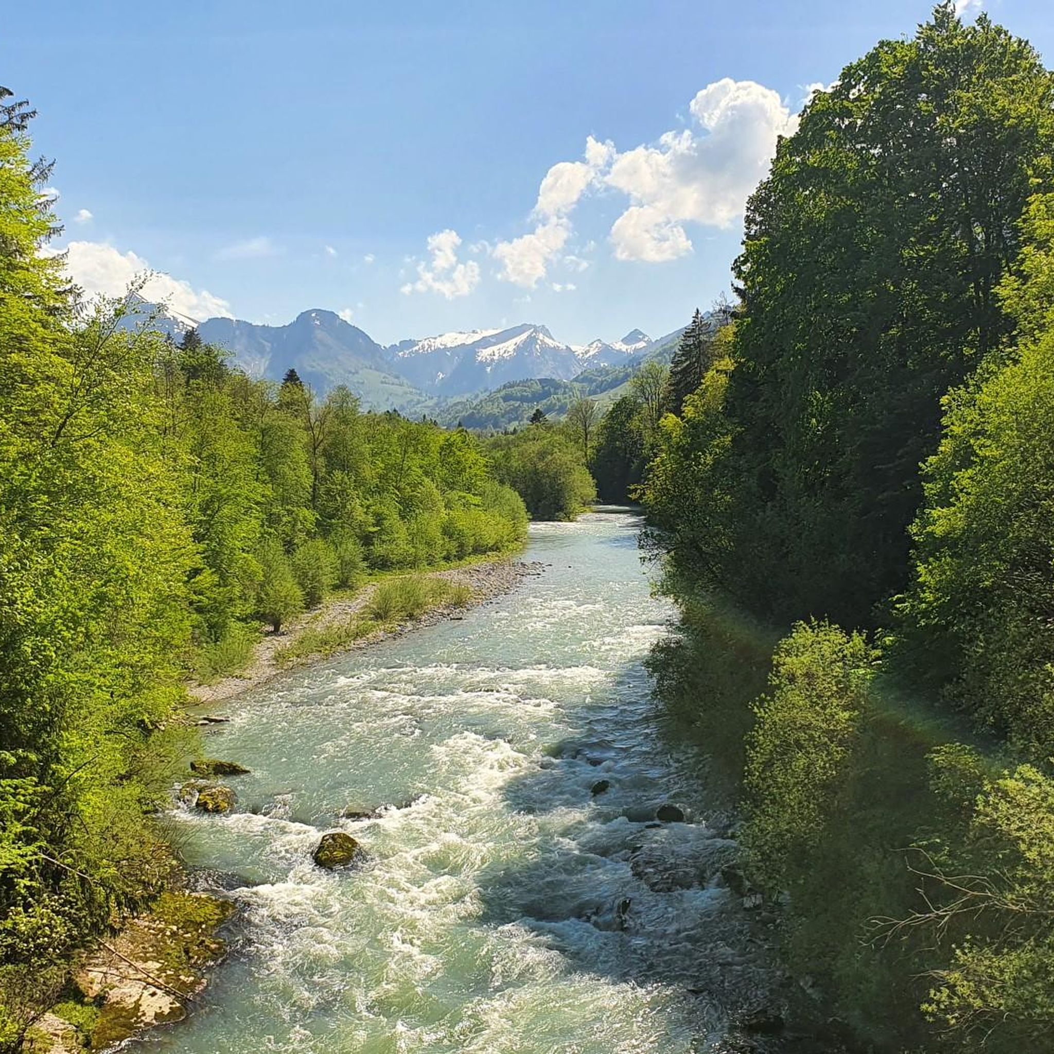
La Vounetse is a peak in the Swiss Alps, near the town of Charmey, in the canton of Fribourg. It offers stunning views of the Gruyère region and the surrounding mountains, as well as a variety of trails for different levels of difficulty. One of the most popular trails is the Panorama de la Vounetse loop, which leaves from the Charmey gondola station and takes you to the top of the Vounetse and back in about an hour. This trail is great for bird watching, running, or enjoying the wildflowers and wildlife along the way. The best time to visit this trail is from April to October, when the weather is mild and the landscapes are colorful.
2
0
Frequently Asked Questions
Which mountain peaks around Bas-Intyamon are easily accessible for visitors?
For easy access, Le Moléson Summit is an excellent choice. You can take a funicular from Moléson-sur-Gruyères to Plan-Francey, followed by a cable car directly to the summit. This makes it very popular and suitable for most visitors, offering stunning 360-degree views without a strenuous climb.
Are there challenging mountain peaks for experienced hikers in the Bas-Intyamon region?
Yes, the region offers several challenging options. The Vanil Noir, the highest peak in Fribourg, is recommended for experienced hikers (T4+ level) due to sections secured by wire ropes and ladders. Another demanding ascent is Dent de Broc, which features an alpine hiking trail over its last 150 meters, requiring a head for heights. The Gastlosen range also provides numerous climbing routes for all skill levels.
What unique natural features can I find among the mountain peaks near Bas-Intyamon?
The Gastlosen mountain range is notable for its dramatic, dolomite-like limestone formations, including the unique 'Grossmutterloch' (grandmother's hole). The Vanil Noir Nature Reserve, home to the Vanil Noir peak, is known for its diverse flora and fauna, offering opportunities to spot ibex and chamois.
Are there family-friendly options for exploring the mountains around Bas-Intyamon?
Yes, Le Moléson Summit is very family-friendly due to its funicular and cable car access. Beyond the summit, Moléson offers activities like bobsledding and mini-golf. Additionally, the Gastlosen range has a geological education path, which can be interesting for families. For hiking, consider routes from the Hiking around Bas-Intyamon guide, which includes moderate options.
What kind of views can I expect from the mountain peaks in this area?
Many peaks offer spectacular panoramic views. From Le Moléson Summit, you can see the Alpine peaks, the Swiss Plateau, and Lake Geneva, extending to Mont Blanc and the Jura. The Vanil Noir provides stunning 360-degree vistas stretching from Lake Geneva to Glacier 3000 and the Jura mountain range. Even mountain passes like Col de Soladier and Abländschen, Mittelberg offer rewarding views.
Can I spot wildlife when visiting the mountain peaks near Bas-Intyamon?
Yes, the Vanil Noir Nature Reserve is particularly known for its diverse wildlife. When hiking in this area, especially around the Vanil Noir peak, you have a good chance of spotting significant populations of ibex and chamois.
Are there opportunities for cycling or running near the mountain peaks?
Absolutely. The region around Bas-Intyamon offers various routes for different activities. For cycling, you can explore options listed in the Cycling around Bas-Intyamon guide, such as the 'Alpine Panorama Route 4'. If you prefer running, the Running Trails around Bas-Intyamon guide features routes like the 'Le Moléson Loop'.
What is the highest mountain peak directly within the municipality of Bas-Intyamon?
The highest point directly within the municipality of Bas-Intyamon is the Dent de Folliéran, reaching an elevation of 2340 meters above sea level. It is located in the eastern part of the municipal area.
Are there any circular hiking routes around the mountain ranges?
Yes, the Gastlosen massif offers a classic five-hour circular hike. This route provides spectacular views of the Bernese Alps and Valais peaks, making it a popular choice for those looking for a comprehensive experience of the range.
What do visitors enjoy most about the mountain peaks around Bas-Intyamon?
Visitors frequently highlight the breathtaking panoramic views, especially from accessible summits like Le Moléson Summit. The opportunity to experience both challenging alpine trails and family-friendly excursions is also highly appreciated. Many enjoy the sense of accomplishment after a climb, rewarded by stunning vistas, and the diverse natural features of the region.
Is it possible to find food or refreshments at the mountain peaks?
Yes, at Le Moléson Summit, there is a summit restaurant where you can enjoy meals and refreshments while taking in the views. For other areas, it's advisable to check specific trail information or bring your own provisions, as not all passes or summits have facilities.
What is the highest peak in the canton of Fribourg, accessible from the Bas-Intyamon area?
The highest peak in the canton of Fribourg is the Vanil Noir, standing majestically at 2389 meters. It is located within the Vanil Noir Nature Reserve and is accessible from the Bas-Intyamon area, particularly from villages like Villars-sous-Mont.
Most popular routes around Bas-Intyamon
Most popular attractions around Bas-Intyamon

Get inspired with the komoot mobile app


Explore more
See even more amazing summits around Bas-Intyamon with these guides:
