Top 6 Gorges around Fonfría
Best canyons around Fonfría are characterized by deep river valleys and dramatic rock formations, primarily within the Douro International Natural Park. This region, bordering Spain and Portugal, features significant geological formations carved by the Douro River. The landscape includes cliffs, riverbeds, and elevated viewpoints offering expansive vistas. It is known for its natural beauty and opportunities for exploring riverine environments.
Best canyons around Fonfría
- The most popular canyons is View of the Douro Canyon, a viewpoint that offers spectacular…
Last updated: October 7, 2026
São João das Arribas Viewpoint
Highlight • Viewpoint
Translated by Google •
Tip by

View of the Douro Canyon
Highlight • Viewpoint
Translated by Google •
Tip by
Sign up now to discover places like this
Get recommendations on the best single tracks, peaks, & plenty of other exciting outdoor places.
Castrilhouço Viewpoint
Highlight • Viewpoint
Translated by Google •
Tip by

Requejo Bridge
Highlight • Bridge
Translated by Google •
Tip by
Alba Castle
Highlight • Castle
Translated by Google •
Tip by

Sign up for free to discover even more gorges around Fonfría.
Already have an account?
Start today with a free account
Your next adventure awaits.

Tips from the Community

It's located in the heart of the Arribes del Duero Natural Park, an area of great scenic beauty and biodiversity. Things to do nearby: Viewpoints: The viewpoint at the bridge itself and others nearby, such as the one in Villadepera. Hiking trails: Paths through the Arribes, ideal for photography and birdwatching. Charming villages: Villadepera, Pino del Oro, and other towns in the area. From the bridge, you can admire the granite cliffs of the Duero River and the deep riverbed that marks the natural border with Portugal.
2
0
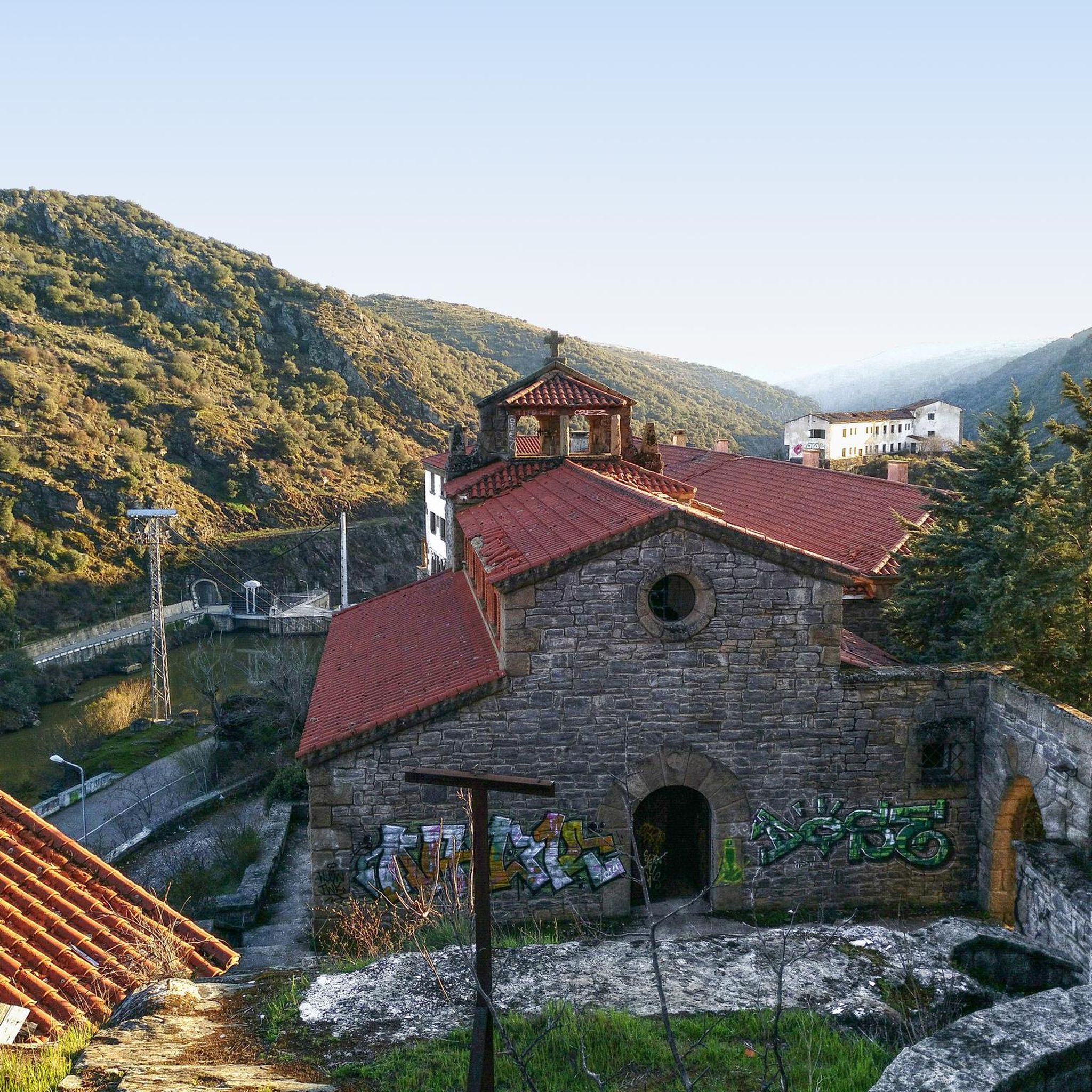
The Requejo Bridge, also known as the Pino Bridge, is a jewel of historical engineering located in Villadepera (Zamora) over the Duero River, within the Arribes del Duero Natural Park. Year of inauguration: 1914. Designed by the engineer José Eugenio Ribera, a pioneer in the use of reinforced concrete in Spain. It was built to connect the Aliste and Sayago regions, facilitating communication between Zamora and Portugal.
2
0
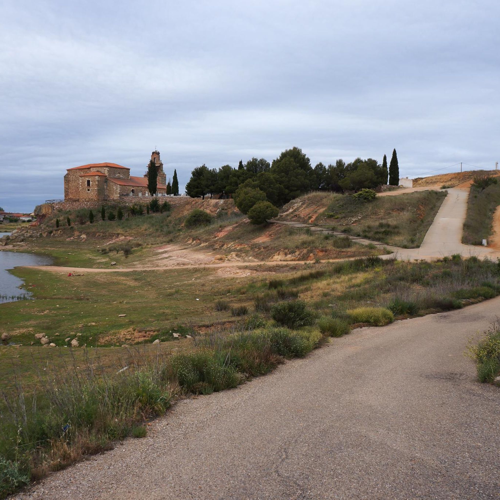
From the Vale de Águia hill fort, there is a natural viewpoint with spectacular views of one of the meanders of the Douro. At the São João das Arribas hermitage, you can also enjoy stunning panoramic views of the canyon and waterfalls on the Spanish slope. The landscape includes cliffs, meadows, oak groves, and pastures, with abundant flora and fauna.
5
0
The GR-36 trail in the Miranda do Douro area is one of the most spectacular routes in northern Portugal, especially for its views of the Douro Canyon, which forms the natural border with Spain.
6
0

This viewpoint over the Duero and its cliffs is very close to the town of Aldeia Nova. From the centre of the town you have to descend about 2 km until you reach the hermitage and the viewpoint. If you arrive by car, you can leave it at the exit of the town and you will only have to walk 1 km to reach the viewpoint.
0
0
From this place there is a good view of the Douro and its cliffs. It is accessed from a path (GR-36). It is practically the same distance from Miranda do Douro as from Vale de Águia (about 3 km).
0
0
The Miradouro da Capela de São João das Arribas is located in the Douro International Natural Park, near the Aldeia Nova. This viewpoint offers stunning views of the Douro River and the rugged rock formations that surround it.
8
0
The Miradouro da Capela de São João das Arribas is located in the Douro International Natural Park, near the Aldeia Nova. This viewpoint offers stunning views of the Douro River and the rugged rock formations that surround it.
9
0
Frequently Asked Questions
What are the most popular gorges and viewpoints around Fonfría?
The most popular spots appreciated by the komoot community include the View of the Douro Canyon, offering spectacular panoramic views of the Douro River and its cliffs. Another highly-rated location is São João das Arribas Viewpoint, known for its rugged rock formations within the Douro International Natural Park. Visitors also enjoy the Castrilhouço Viewpoint, which provides excellent views of the Douro and its dramatic cliffs.
What kind of natural features can I expect to see in the gorges around Fonfría?
The region is characterized by deep river valleys, dramatic rock formations, and significant elevation changes. You'll encounter stunning views of the Douro River carving its way through granite cliffs, especially within the Douro International Natural Park. The landscape features riverbeds, elevated viewpoints, and areas with rich flora and fauna, including oak groves and pastures.
Are there any historical or cultural sites near the gorges?
Yes, the area offers a blend of natural beauty and historical significance. For instance, the Alba Castle, though ruined, is situated on a defensive hill overlooking the Aliste river canyon, providing spectacular views and a glimpse into the region's past. Additionally, the Requejo Bridge, an early 20th-century engineering marvel, spans the Duero River within the Arribes del Duero Natural Park, connecting historical regions and offering impressive views of the gorge.
What outdoor activities can I do near the gorges around Fonfría?
The mountainous terrain and river valleys offer various outdoor activities. You can explore numerous hiking trails, such as 'The Rivera de los Molinos de Brandilanes' or the 'Castillo de Alba de Aliste Trail'. For cyclists, there are road cycling routes like the 'Miranda do Douro and Arribes del Douro Loop'. You can find more details and routes in the hiking guide and road cycling guide for Fonfría.
What is the best time to visit the gorges around Fonfría?
The region, particularly the Douro International Natural Park, is beautiful throughout much of the year. Spring and autumn generally offer pleasant temperatures for hiking and exploring, with lush landscapes in spring and vibrant colors in autumn. Summer can be warm, but the riverine environments provide refreshing views. Winter offers a different, often serene, perspective of the rugged landscapes, though some paths might be more challenging.
Are there family-friendly options for exploring the gorges?
While specific 'family-friendly' categories aren't always assigned, many viewpoints and shorter, less strenuous sections of trails can be enjoyed by families. The scenic beauty and opportunities for nature observation make it suitable for various ages. Always check the difficulty of specific routes before heading out with children. For example, the 'La Palia Waterfall' hiking route is rated as easy.
What are the typical difficulties of trails near these gorges?
The trails in the region vary in difficulty. Many routes are rated as moderate, involving some elevation changes and uneven terrain, especially those leading to viewpoints or through river valleys. There are also easy options, such as the 'La Palia Waterfall' route, and some more difficult road cycling routes like 'Alcañices – tour around Mahide and Ferreruela'. Always check the specific route details on komoot for up-to-date difficulty ratings.
What do visitors enjoy most about the gorges and viewpoints in this area?
Visitors consistently praise the spectacular panoramic views of the Douro River and its dramatic canyons, especially from viewpoints like View of the Douro Canyon and São João das Arribas Viewpoint. The rugged rock formations, the serene riverine scenery, and the sense of being in a pristine natural environment are frequently highlighted. The area's blend of natural beauty with historical elements, such as the Requejo Bridge, also adds to its appeal.
Are there specific permits required for visiting the gorges or viewpoints?
Generally, no specific permits are required for accessing the viewpoints or hiking trails within the Douro International Natural Park or other public areas around Fonfría. However, it's always advisable to respect local regulations, stay on marked paths, and be mindful of any signage, especially in protected natural spaces. For any specialized activities like canyoneering (which is not the primary focus of this region's 'gorges'), specific permits might be needed, but this guide focuses on general access to viewpoints and trails.
Can I find places to eat or drink near the gorges?
While specific cafes or restaurants directly at every viewpoint are not guaranteed, the villages and towns surrounding the natural parks, such as Miranda do Douro or those along the Camino de Santiago, offer various options for food and drink. It's recommended to carry water and snacks, especially when embarking on longer hikes or visiting more remote viewpoints.
What is the geological significance of the gorges around Fonfría?
The gorges in this region, particularly those formed by the Douro River, are significant for their impressive geological formations. The river has carved deep valleys through ancient granite and schist bedrock over millennia, creating dramatic cliffs and meanders. This geological process has exposed unique rock structures and contributed to the rich biodiversity found in the Douro International Natural Park.
Are there running trails available near the gorges?
Yes, there are several running trails in the vicinity. For example, you can find routes like 'The Rivera de los Molinos de Brandilanes — running circular from Castro de Alcañices' or 'Running loop from Samir de los Caños'. These trails offer a great way to experience the natural beauty of the area while exercising. More options are available in the running trails guide for Fonfría.
Most popular attractions around Fonfría

Get inspired with the komoot mobile app


Explore more
Already discovered everything in this region? See additional gorges around Fonfría for your next adventure:
