The 4 Most Amazing Peaks around Brading
Best mountain peaks around Brading are characterized by chalk downs rather than towering mountains, offering elevated areas with panoramic views and historical significance. Located on the Isle of Wight, the region features prominent downs such as Brading Down, St Boniface Down, and Shanklin Down. These areas provide diverse natural features, including unique plant communities and archaeological sites. The highest point on the Isle of Wight, St Boniface Down, is found near Brading.
Best mountain peaks around Brading
- The most popular…
Last updated: July 29, 2026
Bunkers on Ventnor Downs
Highlight • Monument
Tip by

Shanklin Down Summit View
Highlight • Summit
Tip by
Sign up now to discover places like this
Get recommendations on the best single tracks, peaks, & plenty of other exciting outdoor places.
Sign up for free
View of Ventnor from St Boniface Down
Highlight • Viewpoint
Tip by
View of St Boniface Down
Highlight • Viewpoint
Tip by

Start today with a free account
Your next adventure awaits.
Login or Signup
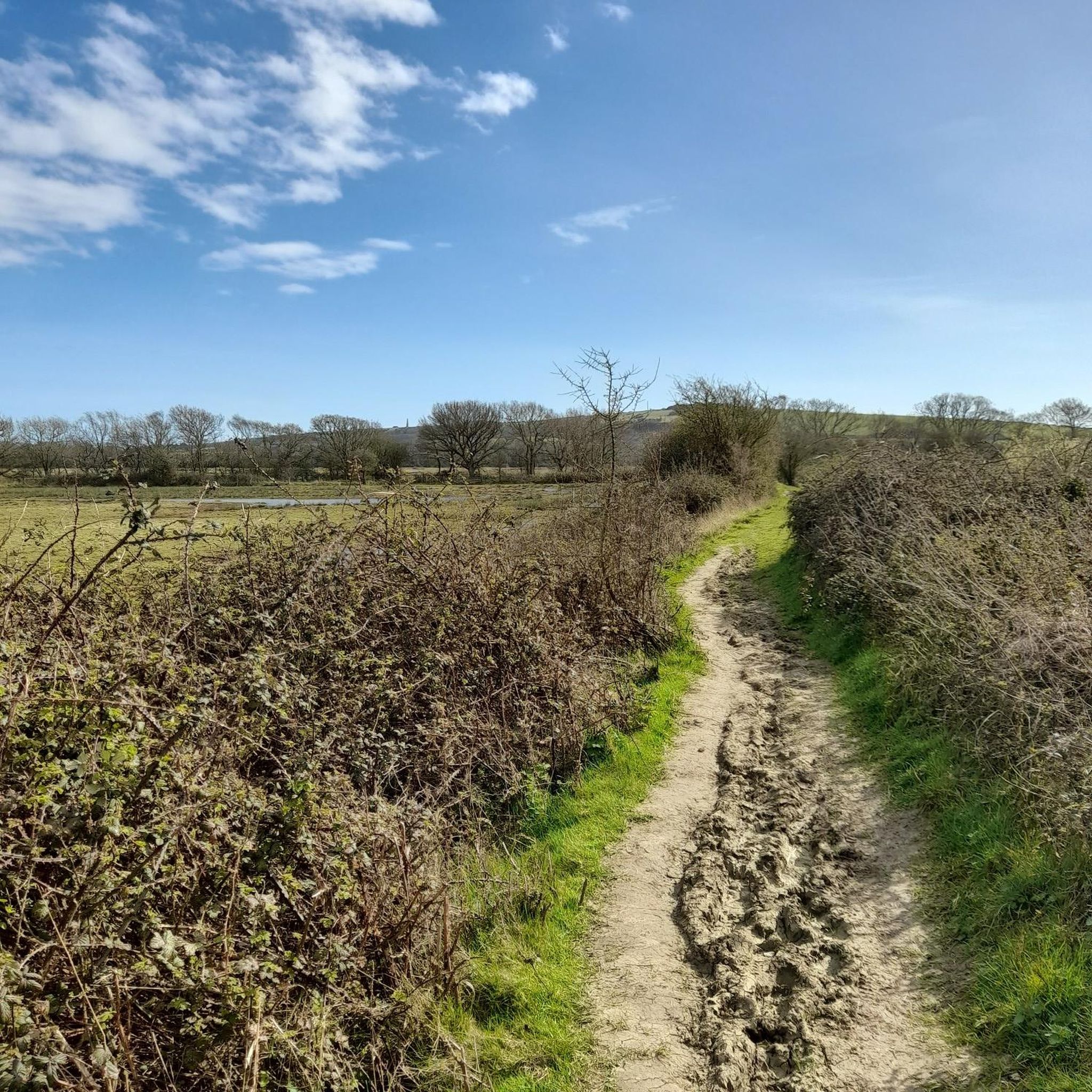
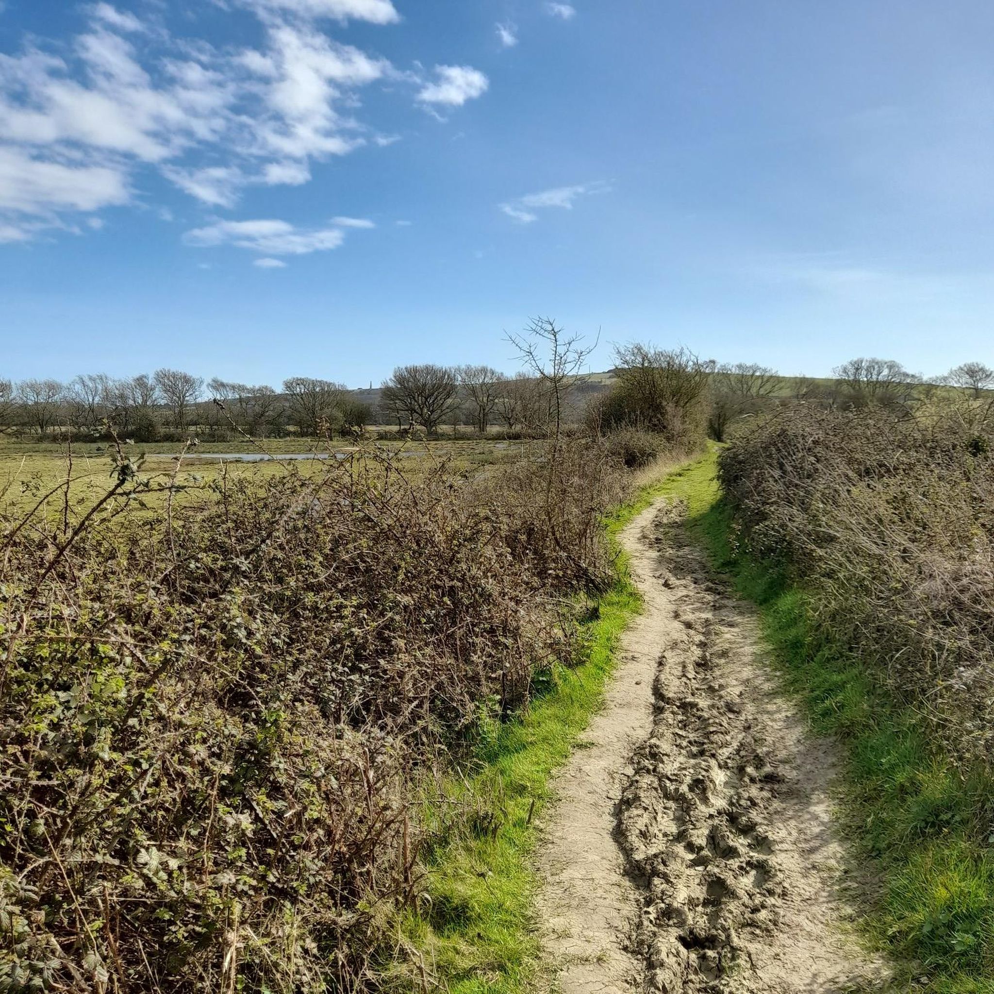
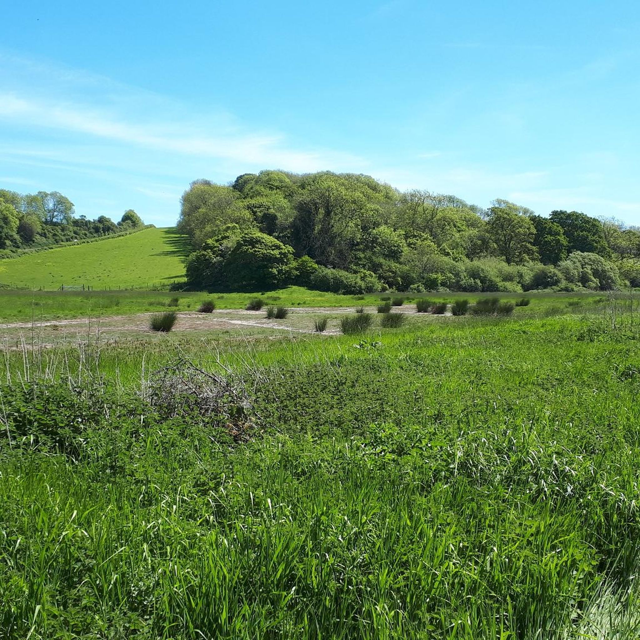
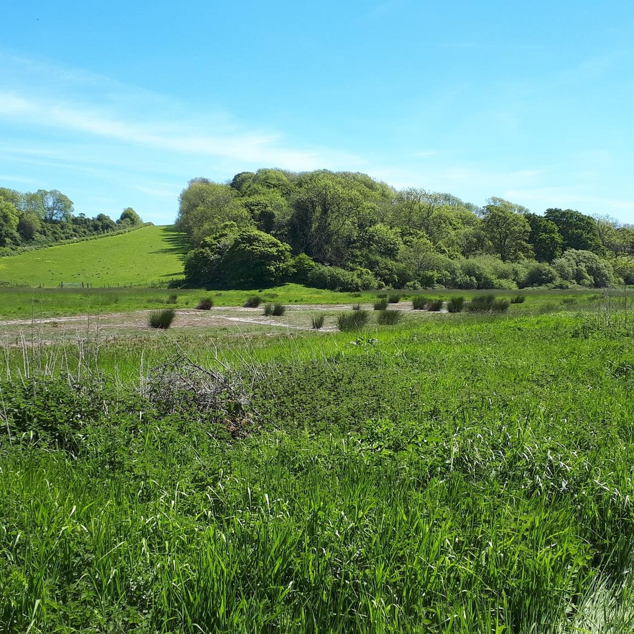
Tips from the Community

The route down to Steephill cove will require pushing the bike down a steep narrow tarmac path
0
0
The climb is a bit steep, but the views are expansive, over land and sea. Don't be afraid, just respect the cows, goats, and dogs. Today they were all friendly and well-disposed.
0
0

It's high, but it's worth the climb. On a good day you can see all the way to the Isle of Portland to the west and even to France to the south. St Boniface Down is home to the highest point on the Isle of Wight. The trig point, just north of here stands at 241m.
0
0
Arguably one of the best views on the Isle of Wight, from Shanklin Down you can see all the way out to the Nab Tower lighthouse in the east, out to the Needles Headland in the west and even over the Solent to the mainland.
0
0

The unmade section of road (beyond the radar station) is now closed to motor vehicles. There are still plenty of free parking areas along the road up to that point.
0
0
Adjacent to the highest point on the Island (St Boniface Down), this free car park is an excellent place to start a walk or ride for some big views across the Island and beyond. But be warned: the access road is very steep and the final section is unmade, with some rather sizeable undulations.
0
0

Great Views across Shanklin and Sandown Bay to Culver Cliff in the distance
1
0
This group of downs contains the Island's highest point (St Boniface Down), and is a large area of Access Land owned by the National Trust. In the 1km (0.6 miles) between the highest point and the coast, perched on the steep slopes, is the town of Ventnor (part of the largest urban landslide complex in Northern Europe). The highest point itself is occupied by Ventnor Radar Station, so you can't go and stand on it. However, the benefit of this is that there is a (rather steep) access road right up to the top, with lots of (free!) places to park along its length. The road continues (unmade) beyond the radar station to Bonchurch Down, where there is another viewpoint and car park.
0
0
Frequently Asked Questions
What is the highest point on the Isle of Wight near Brading?
The highest point on the Isle of Wight is St Boniface Down, which reaches an elevation of 241 meters (0.6 miles). While the very highest point is occupied by a radar station and not directly accessible, there are accessible areas nearby that offer incredible views.
Which peaks offer the most expansive panoramic views around Brading?
For truly expansive views, Shanklin Down Summit View is highly recommended. From its trig point, you can see across East Wight to the Nab Tower lighthouse, to the Needles Headland in the west, and over the Solent to the mainland. St Boniface Down also offers vast views, on clear days extending as far as the Isle of Portland and even France.
Are there family-friendly walks or peaks near Brading?
Yes, Brading Down is a Local Nature Reserve with pathways accessible for walking, making it suitable for families. It offers panoramic views and is known for its diverse plant community and butterfly watching. Many of the trails around the downs are generally accessible for walks.
Are the mountain peaks around Brading dog-friendly?
Yes, many of the downs and trails around Brading are dog-friendly. For example, Ventnor Downs is explicitly noted as dog-friendly, with visitors enjoying runs with their dogs on its peaceful tracks and breathtaking views.
What kind of wildlife can I spot on the downs near Brading?
Brading Down, being a Local Nature Reserve, is excellent for wildlife spotting. It supports a diverse downland plant community, with pyramidal orchids being a notable feature in summer. It's also a great spot for butterfly watching, hosting species like common blue, chalkhill blue, and marbled white. Gander Down, part of the RSPB Brading Marshes nature reserve, offers opportunities for birdwatching in a unique wetland ecosystem.
What historical features can be found on the peaks near Brading?
Brading Down holds significant archaeological importance, featuring the finest surviving ancient field system on the Isle of Wight, likely dating back to the late Iron Age or Roman period. Evidence of World War I practice trenches and former chalk pits also contribute to its historical interest. Additionally, the Bunkers on Ventnor Downs highlight the area's more recent history.
What outdoor activities can I do near these mountain peaks?
Beyond hiking, the area around Brading offers various outdoor activities. You can find numerous hiking routes, including easy loops like 'Brading Marshes – RSPB Brading Marshes loop'. For cyclists, there are cycling routes ranging from easy to difficult, such as 'Crispin's Way Marshes'. Runners can explore running trails like the 'Brading Down & Sandown Meadows loop'.
Are there challenging climbs for experienced hikers around Brading?
While the 'peaks' around Brading are primarily downs, the climb to areas like Shanklin Down can be steep, offering a rewarding challenge for hikers. The access road to St Boniface Down is also very steep, with the final section unmade, providing a more strenuous ascent.
What is the best time of year to visit the peaks around Brading?
The summer months are particularly good for visiting, especially if you wish to see the pyramidal orchids on Brading Down or enjoy butterfly watching. Clear days offer the best panoramic views from all the downs. However, the trails are accessible year-round, with winter walks offering a different, often peaceful, experience.
Where can I find parking for walks on the downs near Brading?
For Brading Down, pathways are accessible from car parks along the main Newport to Brading Road. For St Boniface Down and Ventnor Downs, there are often free parking spaces along the steep access roads leading to the higher points, making it relatively easy to reach areas with incredible views.
What makes Ventnor Downs a popular area for outdoor enthusiasts?
Ventnor Downs, which includes St Boniface Down (the highest point on the Isle of Wight), is popular for its incredible coastal views and extensive access land. It offers a variety of trails suitable for running and walking, and its dog-friendly nature makes it a favorite for many visitors.
Most popular attractions around Brading

Get inspired with the komoot mobile app


Explore more
See even more amazing summits around Brading with these guides:
