The best gravel rides in Cherry Valley National Wildlife Refuge
30
riders
4
rides
Gravel biking in Cherry Valley National Wildlife Refuge is not permitted on the refuge's designated trails to protect wildlife and prevent erosion. However, the broader region surrounding Cherry Valley National Wildlife Refuge, situated along the Kittatinny Ridge in eastern Pennsylvania, offers diverse terrain for gravel biking. This area is characterized by a mosaic of wetlands, upland habitats, and forested ridges, with Cherry Creek meandering through the landscape before joining the Delaware River. The surrounding areas feature varied terrain, including former…
Last updated: October 12, 2026
9
riders
Hard gravel ride. Very good fitness required. Mostly paved surfaces. Suitable for all skill levels.
2
riders
Moderate gravel ride. Good fitness required. Mostly paved surfaces. Suitable for all skill levels.

17
riders
95.2km
07:20
500m
500m
Hard gravel ride. Very good fitness required. Mostly paved surfaces. Suitable for all skill levels.
Our route recommendations are based on thousands of hikes, rides, and runs completed by other people on komoot.
Start today with a free account
Your next adventure awaits.
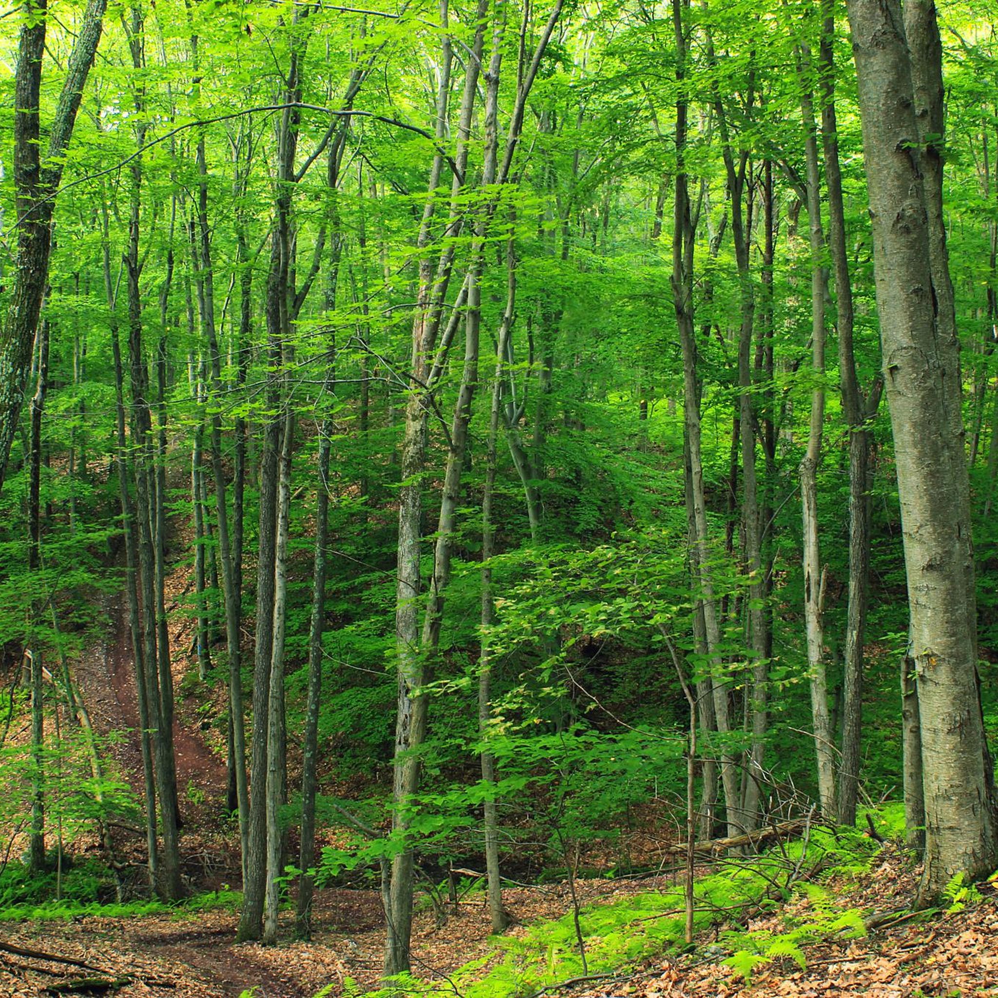
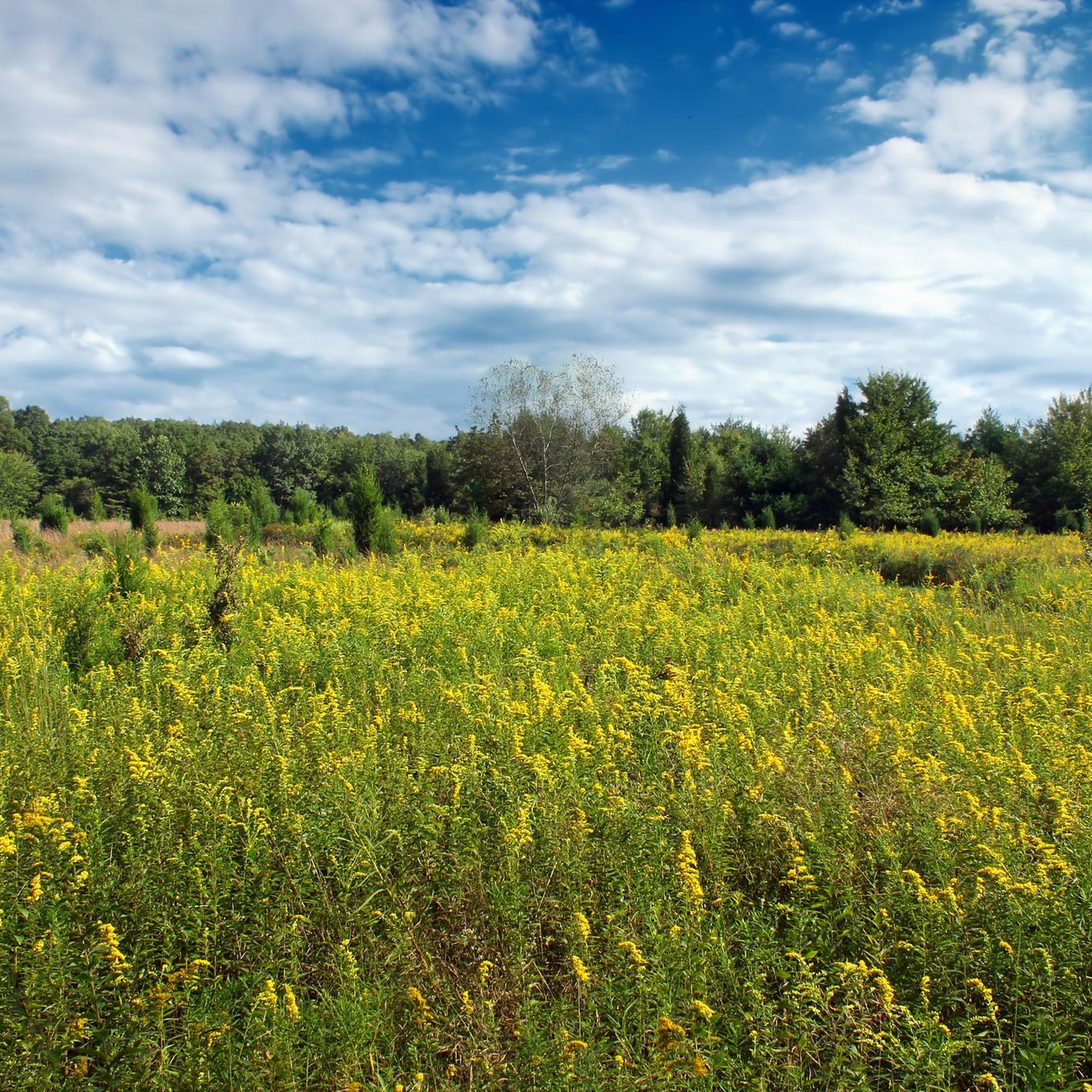
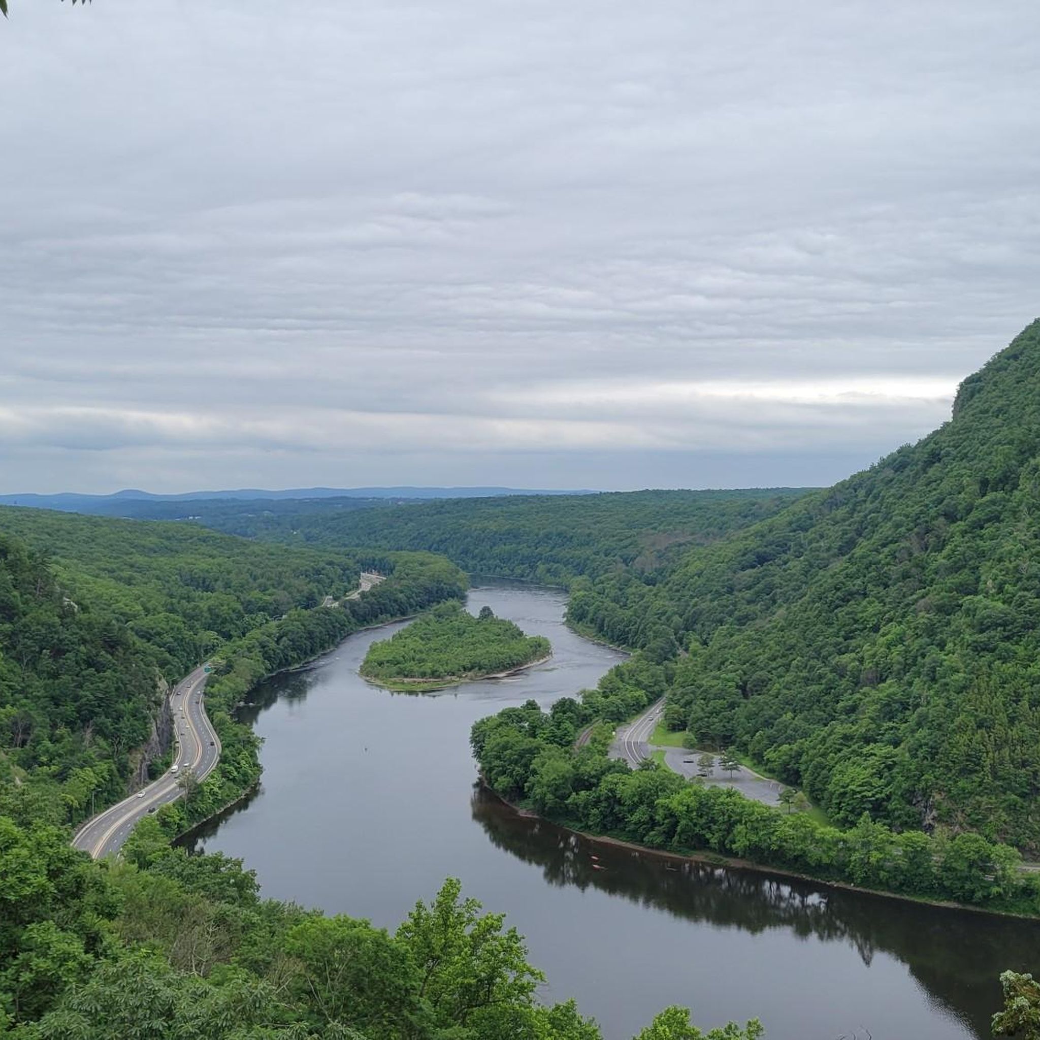
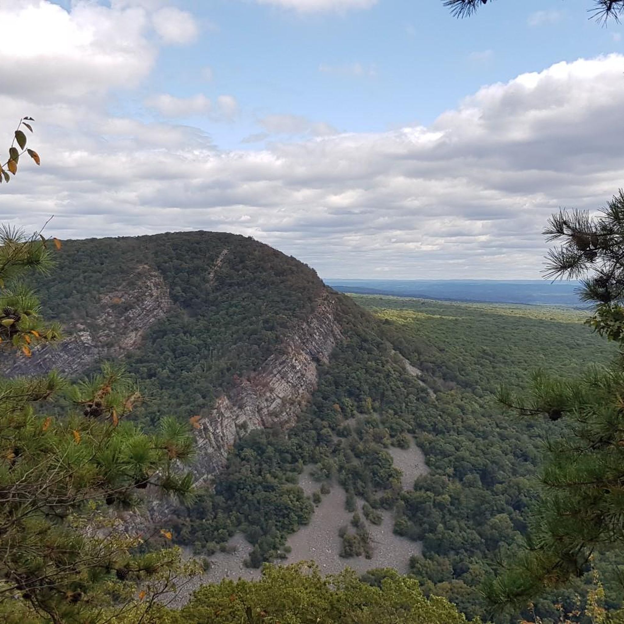
Tips from the Community

The Delaware Water Gap National Recreation Area is a protected nature reserve that borders the Delaware River. It is a popular spot for hikers and cyclists, and has several long distance trails that cut through it.
0
0
The McDade Recreational Trail is an almost 30-mile long trail that runs from Hialeah Recreation Area to Milford Beach. The trail is mostly flat and follows the Delaware River for most of its trajectory.
1
0
Nice view of the Delaware River from the McDade Recreational Trail. This section of the trail mostly follows the river, so there are some other breaks in the trees where you will also get views of the water.
1
0

Jacobsburg State Park offers scenic trails through lush forests and along the Bushkill Creek. Perfect for hiking, running, biking, and wildlife spotting, the park's historical sites add cultural depth to its natural beauty. Ideal for nature enthusiasts seeking a peaceful escape.
1
0
Jacobsburg State Park offers scenic trails through lush forests and along the Bushkill Creek. Perfect for running, hiking, biking, and wildlife spotting, the park's historical sites add cultural depth to its natural beauty. Ideal for nature enthusiasts seeking a peaceful escape.
0
0

Three memorials stand atop the scars from that fateful day on Sept. 11, 2001. One is in New York City, one in Washington D.C. and one in a field in Pennsylvania. These sites of remembrance are linked together by the 9:11 National Memorial Trail. A total of over 1,300 miles of trails and roads that link together a route that serves as a tribute to all the heroes who responded on that day.
0
0

Dingmans Ferry Bridge is a spectacle and one of the last remaining privately-owned toll bridges in America. This bridge is a popular picture spot and worth stopping for on your ride. If you ride across on your bike, there is no fee.
0
0
The 1,168-acre Jacobsburg Environmental Education Center is just off the roadway here. It is a beautiful place for school groups to be engaged with nature activities, bird watching and community programs. There are other recreational activities there as well. The visitor center is worth a visit, and there are rest rooms too. If you don't visit, then just continue on this super pretty tree lined road.
0
0
Frequently Asked Questions
Are gravel bikes allowed on trails within Cherry Valley National Wildlife Refuge?
No, bicycling, including gravel biking, is explicitly not permitted on the refuge's designated trails. This policy is in place to protect wildlife and prevent trail erosion. You can find more details on their official rules and policies here.
Where can I find gravel biking trails near Cherry Valley National Wildlife Refuge?
While biking isn't allowed within the refuge itself, the broader region surrounding Cherry Valley National Wildlife Refuge offers several gravel biking options. For an easy experience, consider the 9/11 National Memorial Trail loop from Pen Argyl, which is 13.7 miles. For more challenging rides, the Brook Road – Buttermilk Falls loop from Delaware Water Gap covers 55.1 miles through varied terrain.
What kind of terrain can I expect on gravel bike routes in the region surrounding Cherry Valley National Wildlife Refuge?
The region offers diverse terrain, characterized by forested ridges, river valleys, and a mix of surfaces. You'll encounter both paved and unpaved sections, including dirt and loose gravel paths, providing varied experiences for gravel biking.
Are there any long-distance or challenging gravel bike routes available nearby?
Yes, for experienced riders seeking a challenge, routes like the Dingmans Ferry Bridge – View of Delaware River loop from Delaware Water Gap offer a difficult 73.1-mile ride with significant elevation gain. Another demanding option is the Paulinskill Valley Trail loop from Portland, which is 60.1 miles long.
What is the best time of year to visit the Cherry Valley National Wildlife Refuge area for outdoor activities?
The refuge and surrounding areas are beautiful year-round. Fall is particularly notable as the Kittatinny Ridge is a crucial migratory bird flyway, with up to 20,000 raptors passing through. Spring and summer offer lush landscapes and active wildlife. During winter, activities like cross-country skiing and snowshoeing are available within the refuge, though biking remains prohibited.
Can I bring my dog to Cherry Valley National Wildlife Refuge or on nearby gravel bike trails?
Pets are generally not allowed on trails within Cherry Valley National Wildlife Refuge, with the exception of service animals. For nearby gravel bike trails, policies vary by specific location. It's always best to check local regulations for any trail you plan to ride with your dog.
Are there family-friendly gravel biking options in the vicinity?
While the refuge itself doesn't permit biking, the region offers easier routes suitable for families. The 9/11 National Memorial Trail loop from Pen Argyl is an easy 13.7-mile route that could be a good option for families looking for a less strenuous ride.
What amenities are available near Cherry Valley National Wildlife Refuge, such as cafes or accommodation?
The refuge itself does not provide sanitary facilities or trash receptacles, so visitors are expected to pack out what they pack in. However, nearby towns like Stroudsburg and Saylorsburg offer various amenities, including cafes, pubs, and accommodation options for visitors to the region.
What natural features or wildlife can I observe in Cherry Valley National Wildlife Refuge?
Cherry Valley National Wildlife Refuge is a haven for wildlife and boasts diverse habitats. It's an Important Bird Area, especially during raptor migration along the Kittatinny Ridge. You might spot wild turkeys, warblers, frogs, and even bald eagles. The refuge also supports federal trust species, including the bog turtle and American eel, as well as common species like black bears, bobcats, and beavers. Wildlife observation is a popular activity, with observation/photography blinds available along some walking trails.
Are there any loop gravel bike trails in the area?
Yes, many of the gravel bike routes in the region are designed as loops. For example, the 9/11 National Memorial Trail – Jacobsburg State Park loop from Plainfield Township is a moderate 20.5-mile loop. The 9/11 National Memorial Trail loop from Pen Argyl is another easy loop option.
What do other gravel bikers enjoy most about gravel biking in the region near Cherry Valley National Wildlife Refuge?
The routes in the region are highly rated by the komoot community, with an average score of 5.0 stars. Reviewers often praise the diverse landscapes, including forested ridges and river valleys, and the variety of routes available for different skill levels.
Is public transport available to reach Cherry Valley National Wildlife Refuge or nearby gravel trails?
Information on direct public transport to Cherry Valley National Wildlife Refuge is limited, and it's generally recommended to access the area by car. For specific gravel trails in the broader region, public transport options may vary, so it's advisable to check local transit schedules for the starting points of individual routes.
Most popular routes in Cherry Valley National Wildlife Refuge

Get inspired with the komoot mobile app


