The best gravel rides in Tamadaba
5.0
(4)
81
riders
6
rides
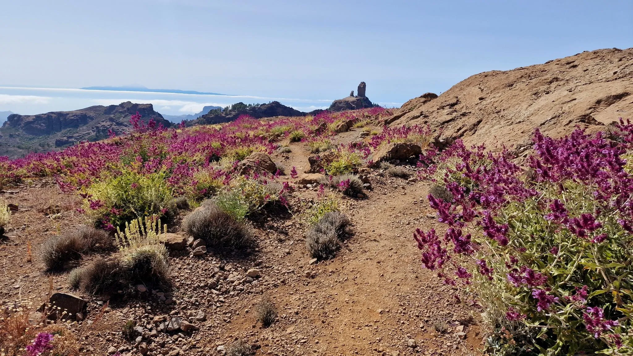
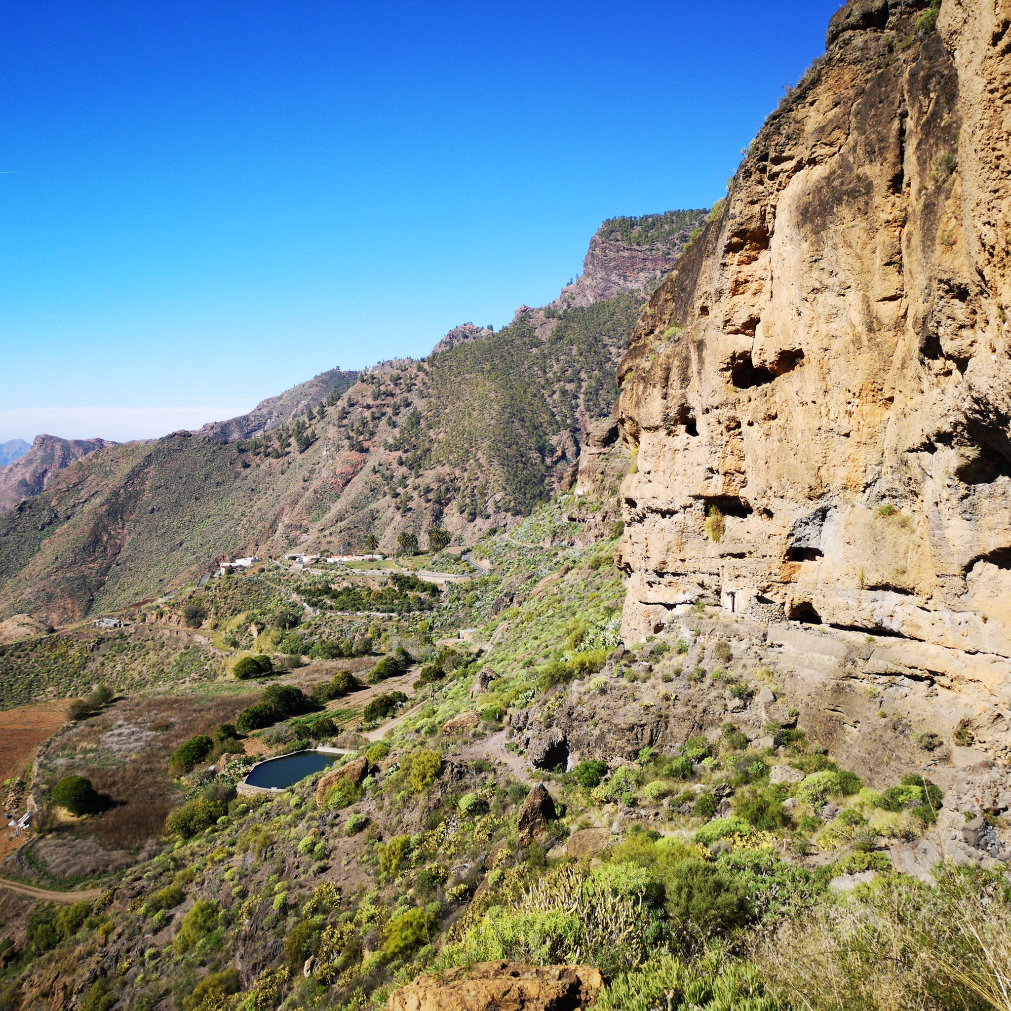
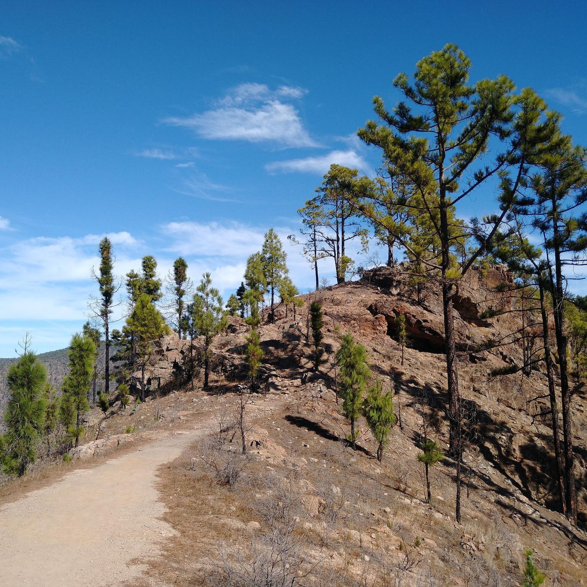
Gravel biking in Tamadaba, a UNESCO Biosphere Reserve, offers diverse and challenging terrain across an ancient volcanic massif. The region features extensive Canary Island pine forests at higher altitudes, dramatic coastal cliffs, and deep ravines. These varied landscapes provide a network of trails suitable for gravel cyclists seeking significant elevation changes and technical sections. The terrain includes dirt tracks, trails, and some asphalt roads, creating a comprehensive biking experience.
Best gravel bike trails in Tamadaba
- The most popular gravel bike…
Last updated: October 3, 2026
5.0
(1)
16
riders
49.8km
04:45
1,420m
1,430m
Hard gravel ride. Very good fitness required. Mostly paved surfaces. Suitable for all skill levels.
5.0
(1)
2
riders
30.3km
03:12
870m
870m
Hard gravel ride. Very good fitness required. Mostly paved surfaces. Suitable for all skill levels.

7
riders
39.5km
03:01
1,190m
1,190m
Hard gravel ride. Very good fitness required. Mostly paved surfaces. Suitable for all skill levels.
5.0
(1)
36
riders
74.8km
06:12
2,260m
2,260m
Hard gravel ride. Very good fitness required. Mostly paved surfaces. Suitable for all skill levels.
10
riders
130km
10:00
3,500m
3,500m
Hard gravel ride. Very good fitness required. Mostly paved surfaces. Suitable for all skill levels.
Our route recommendations are based on thousands of hikes, rides, and runs completed by other people on komoot.
Start today with a free account
Your next adventure awaits.
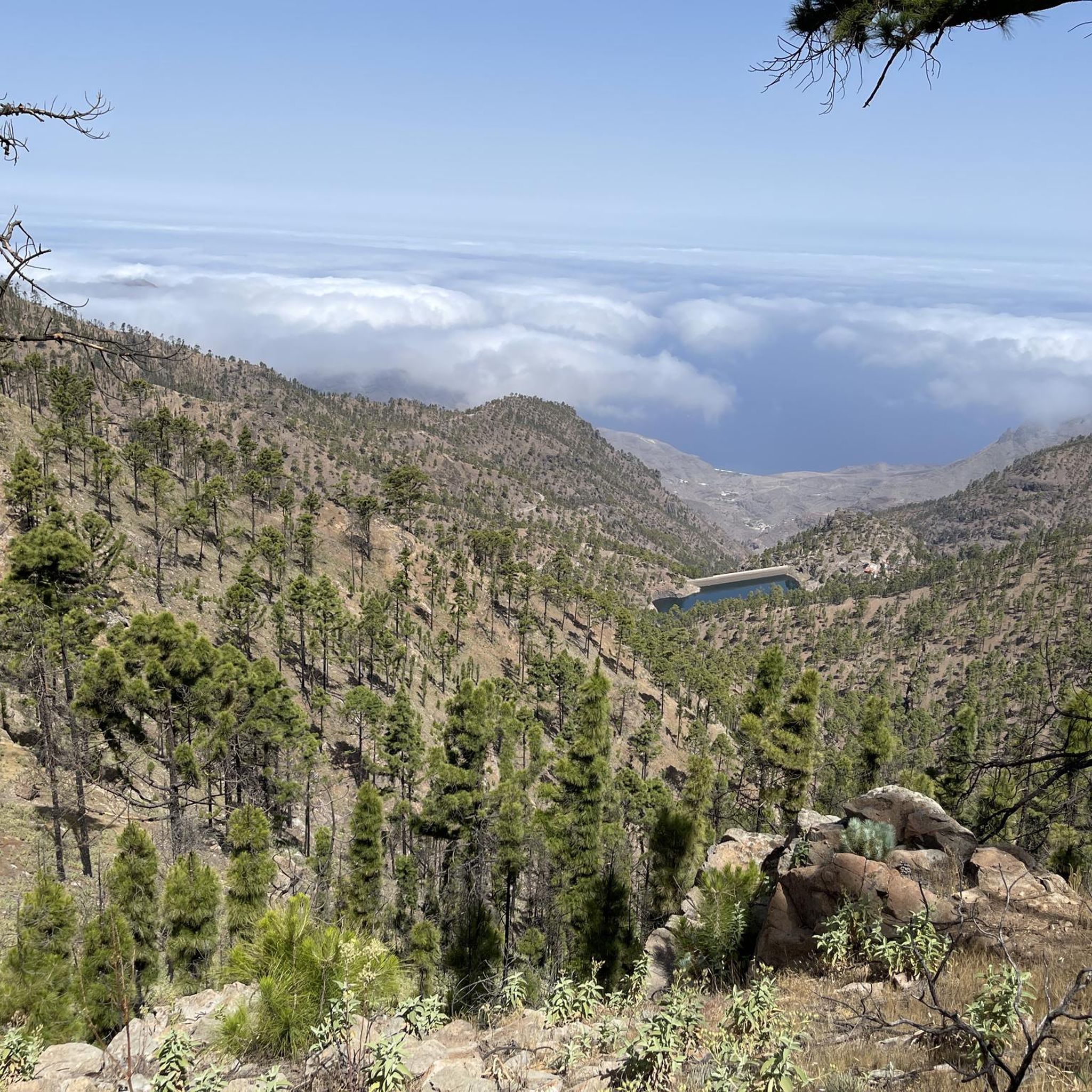
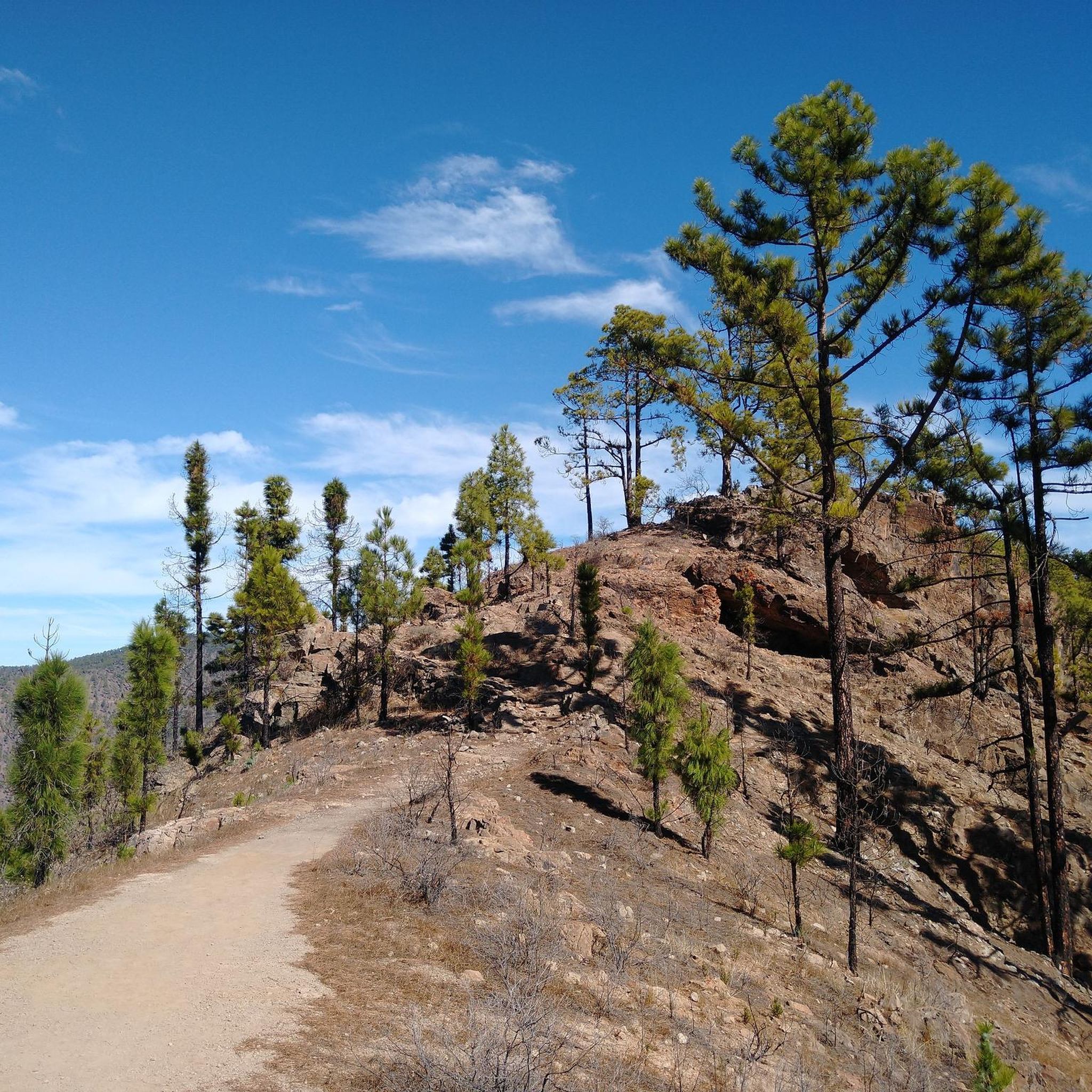



Tips from the Community

You can cycle through the gate on the side. There are some dogs behind the fence by the house. They bark quite loudly, so don't be alarmed.
1
0
A beautiful route awaits you. The view extends towards Agaete and, in good weather, also to Mount Teide on Tenerife. The route is generally easy to cycle on; in some places the path is a bit washed out or the gravel is rough, but this doesn't last long. Both barriers along the route can be bypassed by bicycle.
0
0

Great gravel road. At the beginning and end there are closed gates to keep cars off the road. As cyclists you can easily get past the gates
1
0

Hey Yeti, is it possible to ride a bicycle there or is it private property?
2
0

I loved this village . Must visiting !
0
0

Road impossible to use yesterday, blocked by a barrier going to a house coming from Artenara
0
0

Beautiful green valley! But watch out for cars!
0
0
Frequently Asked Questions
What kind of terrain can I expect when gravel biking in Tamadaba?
Tamadaba, built upon an ancient volcanic massif, offers a diverse and challenging landscape. You'll encounter deep ravines, steep inclines, and sheer cliff faces, particularly along the coast. Higher altitudes feature extensive Canary Island pine forests, providing a mix of forest paths and rugged mountain trails. The region is known for significant elevation changes and technical sections, making it ideal for experienced gravel cyclists.
Are there any easy gravel bike trails in Tamadaba for beginners or families?
The gravel biking routes in Tamadaba are primarily challenging, designed for experienced cyclists due to the significant elevation changes and technical sections. Currently, all listed routes are rated as difficult. For example, the Agaete Natural Swimming Pool – Agaete Valley loop from Agaete, while shorter at 19.6 km, still involves considerable climbing.
What are some notable natural features or landmarks I might see while cycling in Tamadaba?
Tamadaba is rich in natural beauty. You can expect to see the unique Canary Island pine forests, dramatic coastal cliffs like Roque Faneque, and deep ravines. Specific highlights include Tamadaba Peak, the Blue Pool, and the wild Playa del Barranco de Guayedra. Many routes also offer breathtaking views, such as those from the View over the Dragon’s Tail.
Are there any circular gravel bike routes in Tamadaba?
Yes, many of the gravel bike routes in Tamadaba are designed as loops, allowing you to start and finish in the same location. Examples include the popular Tirma Trail – Gated Entrance loop from Mirador de Arena Blanca and the longer Old coastal road – Tirma Track loop from Casablanca.
What do other gravel bikers say about their experience in Tamadaba?
The area is highly rated by the komoot community, with an average score of 4.3 stars from more than 3 reviews. Over 80 gravel bikers have used komoot to explore Tamadaba's varied terrain, often praising the challenging climbs, panoramic coastal views, and the unique experience of cycling through the dense Canary Island pine forests.
What is the best time of year to go gravel biking in Tamadaba?
Tamadaba's climate is generally mild, but the 'sea of clouds' phenomenon can affect visibility and temperature at higher altitudes. The trade winds also play a role. For the most pleasant conditions, consider visiting during spring or autumn when temperatures are moderate and the weather is typically stable. Always check the local weather forecast before heading out, especially for higher elevations.
Are there any specific viewpoints along the gravel bike trails in Tamadaba?
Yes, Tamadaba offers numerous scenic viewpoints. From various points along the trails, you can enjoy panoramic views of the rugged coastline, the vast pine forests, and even the 'sea of clouds' phenomenon. The View over the Dragon’s Tail is one such highlight offering spectacular vistas.
Can I reach the gravel bike trails in Tamadaba using public transport?
While Tamadaba is a natural park, public transport options directly into the heart of the park or to specific trailheads can be limited. It's often more convenient to reach starting points like Agaete or Artenara by bus, and then cycle from there. Planning your route in advance and checking local bus schedules is recommended.
Where can I park my car when visiting Tamadaba for gravel biking?
Parking is generally available near the main access points and villages surrounding Tamadaba Natural Park, such as Agaete or Artenara. For routes starting from specific viewpoints or trailheads, look for designated parking areas. For example, the Tirma Trail – Gated Entrance loop starts from Mirador de Arena Blanca, which may have parking facilities.
What kind of wildlife or unique flora might I encounter in Tamadaba?
As a UNESCO Biosphere Reserve and Special Protection Zone for Birds, Tamadaba is rich in biodiversity. You'll cycle through one of the largest and healthiest Canary Island pine forests, home to endemic plant species. Keep an eye out for unique birds like the Gran Canaria blue finch and woodpeckers. The Guayedra valley also features distinctive palm groves.
Are there any cafes or places to eat along the gravel bike routes in Tamadaba?
Tamadaba Natural Park is a wild and protected area, so amenities like cafes and restaurants are scarce directly along the trails. It's advisable to carry sufficient water and snacks. You'll find options in the nearby villages such as Agaete or Artenara, which serve as common starting or ending points for many routes. Some recreational areas within the park might offer picnic spots.
What is the longest gravel bike route available in Tamadaba?
The longest gravel bike route currently listed is the Old coastal road – Tirma Track loop from Casablanca, covering approximately 74.7 kilometers with over 2,200 meters of elevation gain. This challenging route is designed for experienced riders seeking a full day's adventure.
Most popular routes in Tamadaba
Most popular attractions in Tamadaba

Get inspired with the komoot mobile app


Explore more
Browse the best Gravel rides in other regions.
