The best gravel rides around Dommenheim
7
riders
2
rides
Gravel biking around Dommenheim features a landscape characterized by rolling hills and rural paths, offering varied terrain for cyclists. The region includes routes that traverse open countryside and areas with historical points of interest. Elevation gains on some routes indicate a mix of gentle slopes and more challenging climbs.
Best gravel bike trails around Dommenheim
- The most popular gravel bike trail is Salines de Dieuze loop from Dieuze, a 22.4 miles (36.1 km) trail that takes 3 hours 17…
Last updated: May 12, 2026
4
riders
41.3km
03:14
510m
510m
Hard gravel ride. Very good fitness required. Mostly paved surfaces. Suitable for all skill levels.
2
riders
14.3km
00:54
120m
120m
Easy gravel ride. Great for any fitness level. Mostly paved surfaces. Suitable for all skill levels.

Sign up for free
1
riders
51.2km
03:13
380m
380m
Moderate gravel ride. Good fitness required. Mostly paved surfaces. Suitable for all skill levels.
Our route recommendations are based on thousands of hikes, rides, and runs completed by other people on komoot.
Start today with a free account
Your next adventure awaits.
Login or Signup



Tips from the Community

When I passed the ordeal was no longer there 🤷🏻♀️
1
0

A very beautiful sandstone cross from the 17th century.
1
0

“Each of these crosses can tell its own story and what motivated people to erect “their” cross at this spot. (...) These wayside crosses were erected as visible signs and attract the attention of many people. The cross is a symbol of life. It stands as a sign of our Christian hope and aims to direct our gaze to Jesus Christ, who has overcome death (...). The cross is part of our lives, just as it was part of the life of Jesus. So I hope that many people ... will visit the wayside crosses, whether as places of silence and breathing before God, whether as places of community gathering, prayer and praise of God.” (Text source: Dean Rainald M. Ollig in: “Wayside crosses... small sacred monuments as signs of popular piety”)
1
1

Despite the conflicts, the saltworks continued to contribute to the city's prosperity in the 18th and 19th centuries. Salt production only stopped in 1973 because the industrial facilities had suffered less from the bombings of 1944 than the rest of the city. Today, the town of 3,300 inhabitants highlights its heritage and history as rich as it is unique. Just like the green surroundings between meadows and ponds, which delight hikers.
0
0
The salt mines of Dieuze became a strategic point in the Middle Ages and the town was coveted by the Dukes of Lorraine. Affected by the Thirty Years' War, Dieuze was conquered by the King of France in 1642.
0
0

In 1621, Duke Heinrich II granted market rights to Isming, but the town then suffered during the Thirty Years' War. During the war, an officer saved the city archives in the town hall tower via an underground passage and was able to hold the town for a long time, but then it was also depopulated and the town hall was destroyed. In 1664 there were only 80 households. This cross was erected in front of the south-west entrance to Albestroff, where the old chapel destroyed by the Swedes is said to have stood.
5
0

Great place with an old village center.
0
0
Frequently Asked Questions
What types of gravel bike trails can I find around Dommenheim?
The Dommenheim region offers a variety of gravel bike trails, characterized by rolling hills and rural paths. You'll find routes that traverse open countryside, as well as those that include historical points of interest. The network caters to different ability levels, from easy rides to more challenging routes with significant elevation changes.
Are there easy gravel bike routes suitable for beginners or families near Dommenheim?
Yes, there are options for easier rides. For instance, the Blanche-Église loop from Quartier Maréchal Lyautey is an easy 8.9-mile (14.3 km) path that provides a gentler ride through open rural scenery, making it suitable for beginners or a relaxed family outing.
What are some more advanced gravel biking trails in the Dommenheim area?
For those seeking a greater challenge, the Saint-Michel Church – Ancien Bunker loop from Bénestroff is a difficult 37.0-mile (59.6 km) trail. It leads through varied terrain with historical sites and typically takes around 4 hours 14 minutes to complete, offering substantial elevation changes.
Are there any circular gravel bike routes around Dommenheim?
Yes, many of the gravel bike routes in the Dommenheim area are designed as loops. For example, the popular Salines de Dieuze loop from Dieuze is a 22.4-mile (36.1 km) trail that offers a moderate challenge and is a great circular option.
What can I expect in terms of elevation and distance on Dommenheim's gravel trails?
The trails around Dommenheim feature a mix of terrain. You'll encounter routes with gentle slopes and others with more challenging climbs. Distances vary significantly, from shorter, easy loops around 8.9 miles (14.3 km) to longer, more difficult rides exceeding 37 miles (59.6 km), with elevation gains ranging from approximately 125 meters to over 460 meters.
What do other gravel bikers enjoy most about the trails in Dommenheim?
The gravel biking routes in Dommenheim are highly rated by the komoot community, with an average score of 5.0 stars. Reviewers often praise the varied terrain, the mix of open countryside and historical sites, and the options available for different skill levels.
Are there any notable landmarks or attractions along the gravel bike routes?
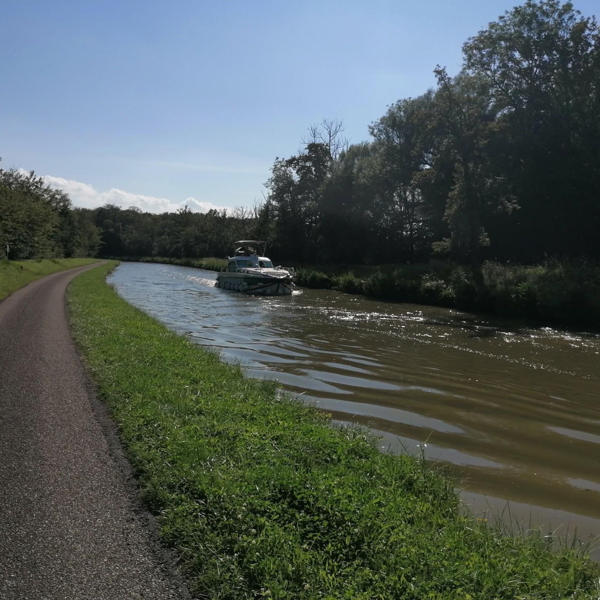
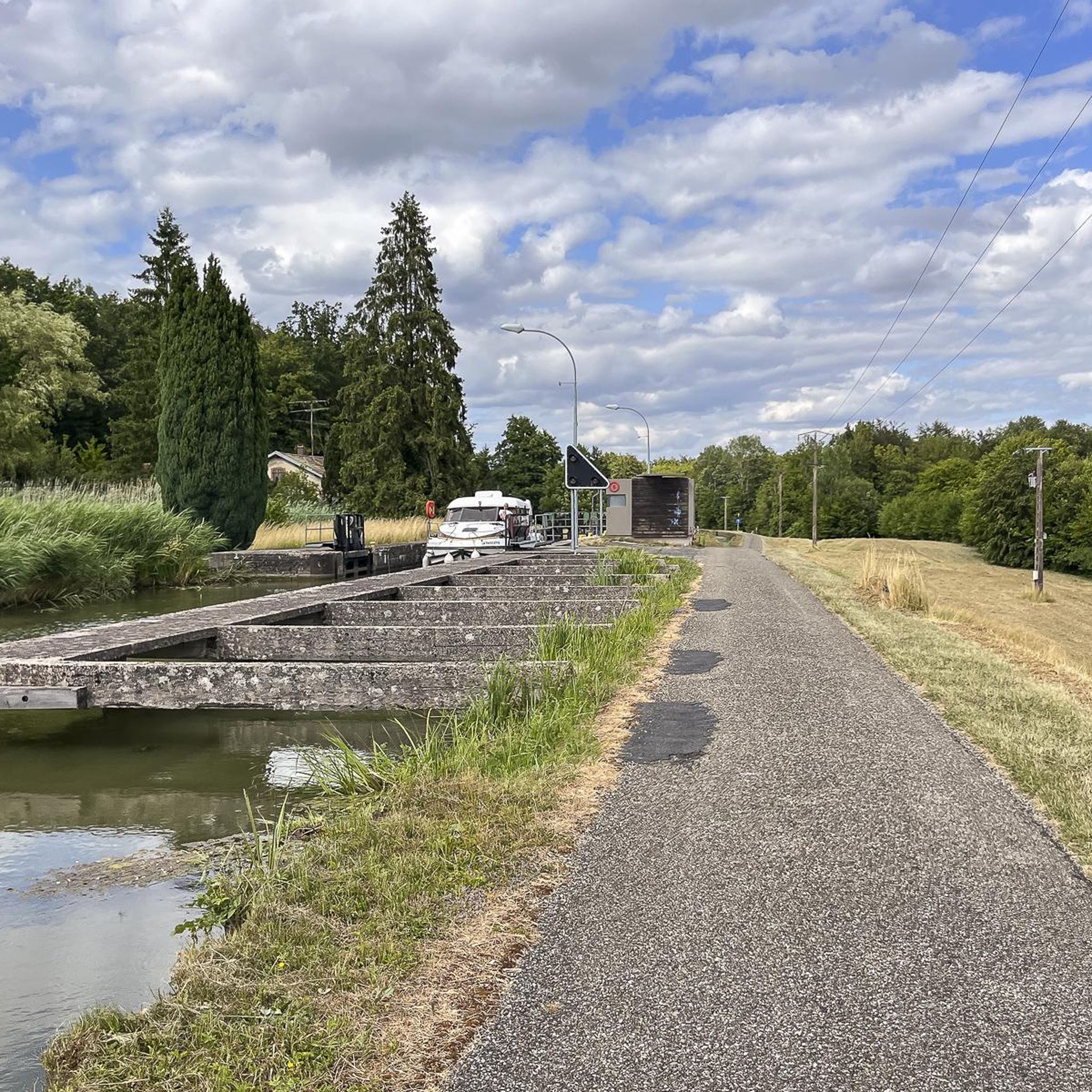
Yes, several routes pass by interesting points. You might encounter historical sites like the Château d'Alteville or the Lock House on the Canal des Houillères de la Sarre. Some trails also offer scenic views of natural features such as the Grand Pond of Mittersheim.
Are there gravel bike routes with public transport access in Dommenheim?
While specific public transport access points for each route are not detailed, many routes start from towns or villages that may have local bus services. It's advisable to check local public transport schedules for the starting points mentioned in the route descriptions, such as Dieuze or Bénestroff.
What is a good option for a moderate gravel bike ride in the area?
For a moderate challenge, consider the Altviller – Ancien Bunker loop from Léning. This route covers about 33.8 miles (54.4 km) and features around 412 meters of elevation gain, offering a balanced ride through the region's characteristic landscape.
What is the best season for gravel biking around Dommenheim?
Gravel biking in Dommenheim can be enjoyed across multiple seasons. Spring and autumn generally offer pleasant temperatures and beautiful scenery. Summer is also suitable, though it's wise to start earlier to avoid the midday heat. Winter riding is possible, but trail conditions may vary, so checking local weather and trail reports is recommended.
How long do gravel bike trails near Dommenheim typically take to complete?
The duration of gravel bike trails varies significantly based on their length and difficulty. Shorter, easy routes like the Blanche-Église loop can take just over an hour, while longer, more challenging trails such as the Saint-Michel Church – Ancien Bunker loop may require over four hours to complete.
Most popular routes around Dommenheim
Most popular attractions around Dommenheim

Get inspired with the komoot mobile app


Explore more
Browse the best Gravel rides in other regions.
