The best gravel rides around Royuela
4.0
(6)
45
riders
10
rides
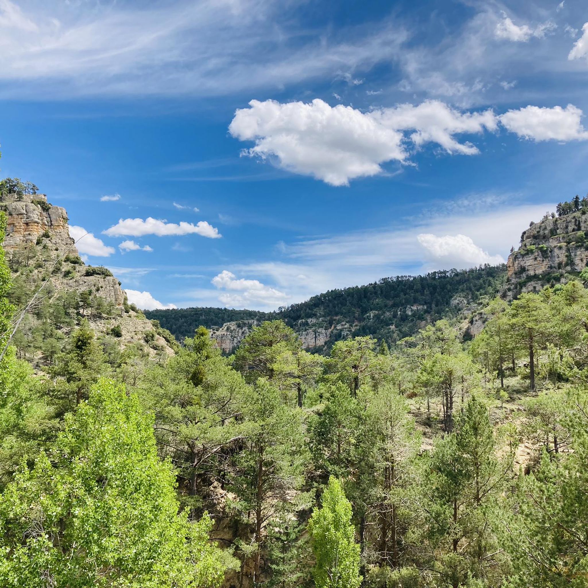
Gravel biking around Royuela offers routes through the mountainous terrain of the Sierra de Albarracín, characterized by pine forests, high plateaus, and scenic viewpoints. The region features varied elevations, providing a challenging environment for gravel cyclists. Trails often traverse unpaved roads and forest tracks, connecting small villages and natural landscapes.
Best gravel bike trails around Royuela
- The most popular gravel bike trail is Orihuela del Tremedal – Griegos loop from Tramacastilla, a 65.2 miles (105.0 km) trail that takes…
Last updated: October 22, 2026
15
riders
107km
08:53
1,840m
1,840m
Hard gravel ride. Very good fitness required. Mostly paved surfaces.
6
riders
30.7km
02:06
420m
420m
Moderate gravel ride. Good fitness required. Mostly paved surfaces.

4.0
(3)
7
riders
27.6km
02:10
530m
540m
Hard gravel ride. Very good fitness required. Mostly paved surfaces.
8
riders
30.7km
02:17
600m
600m
Hard gravel ride. Very good fitness required. Mostly paved surfaces.
4.0
(3)
7
riders
27.5km
02:13
530m
530m
Hard gravel ride. Very good fitness required. Mostly paved surfaces.
Get access to more routes and recommendations from other explorers.
Already have an account?
Our route recommendations are based on thousands of hikes, rides, and runs completed by other people on komoot.
Start today with a free account
Your next adventure awaits.
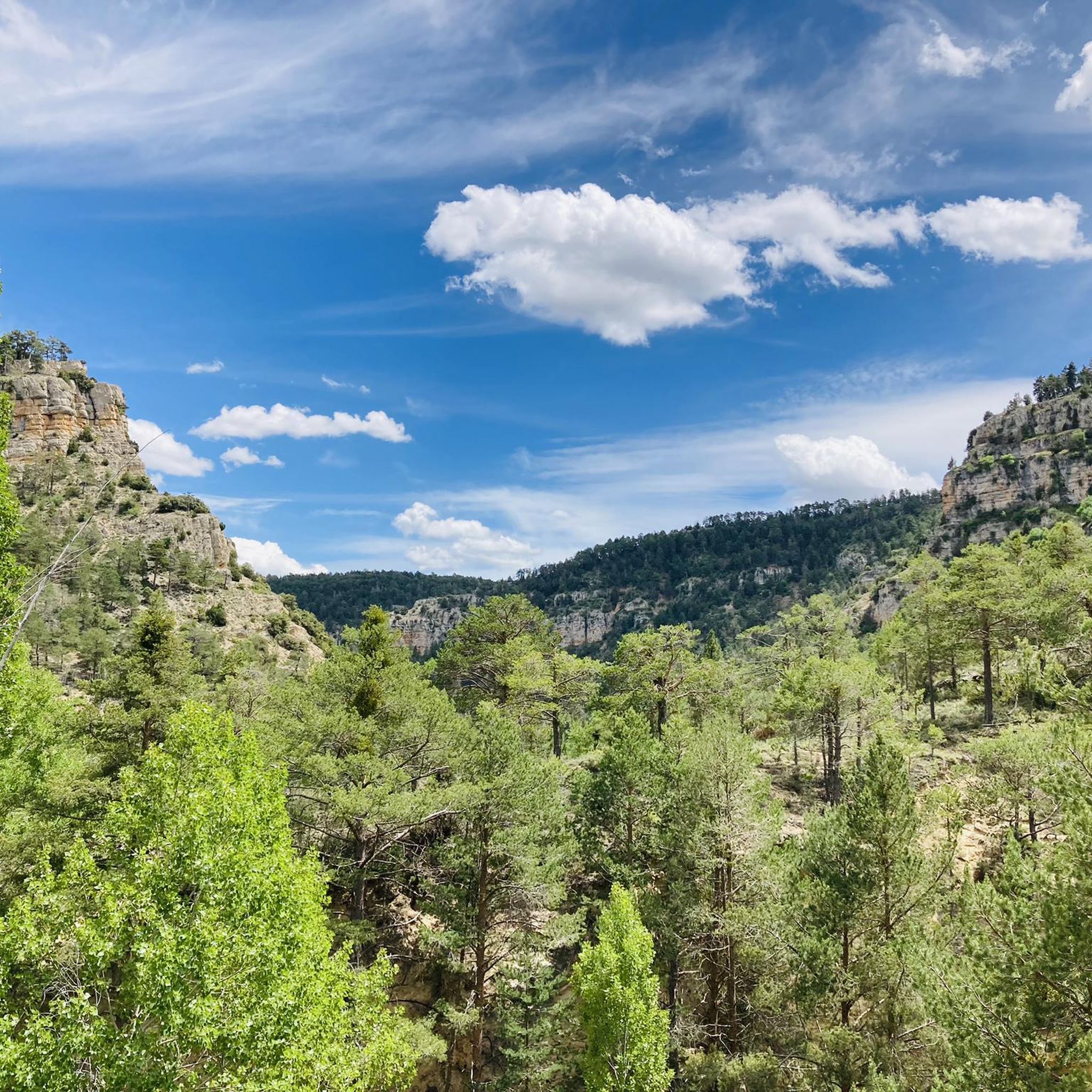
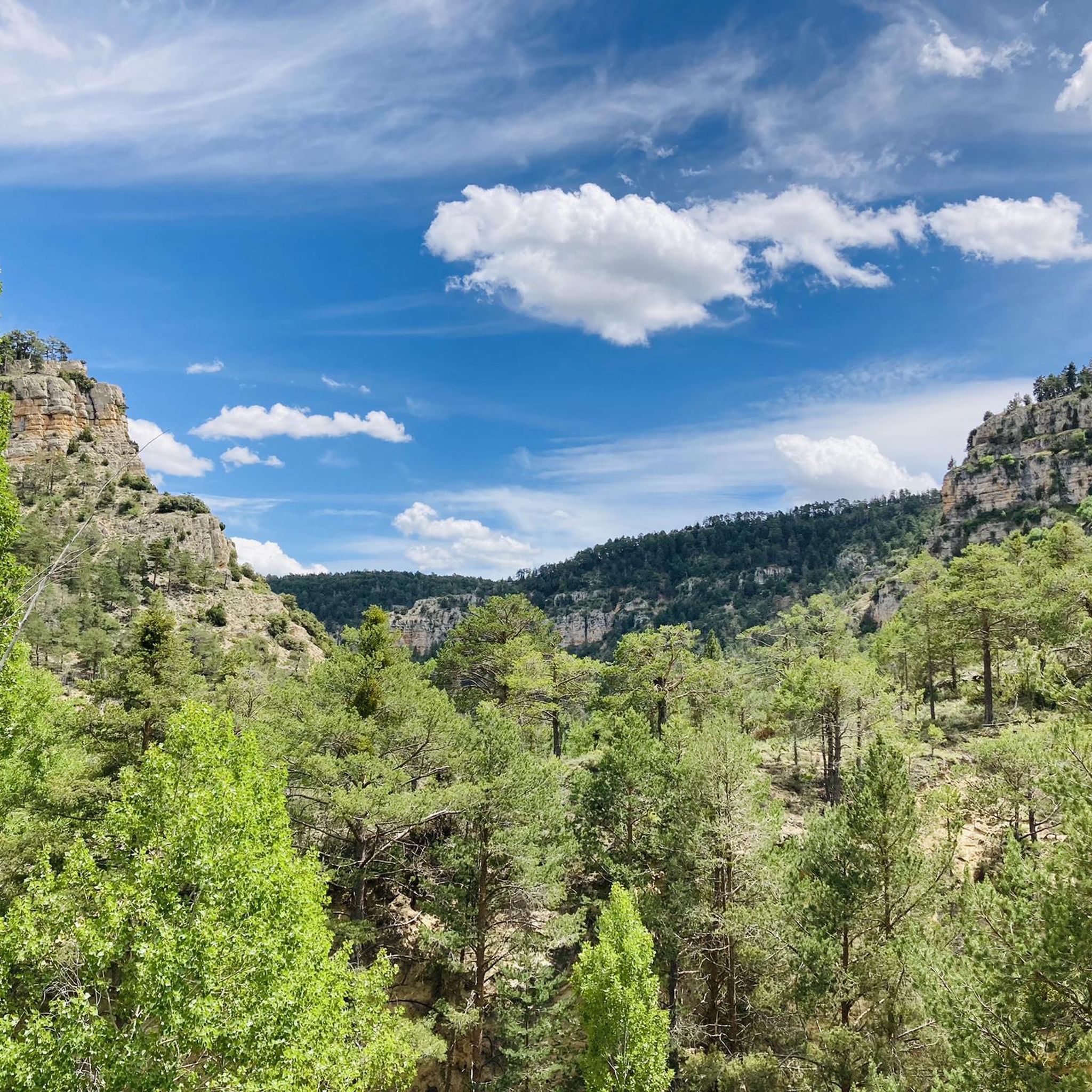
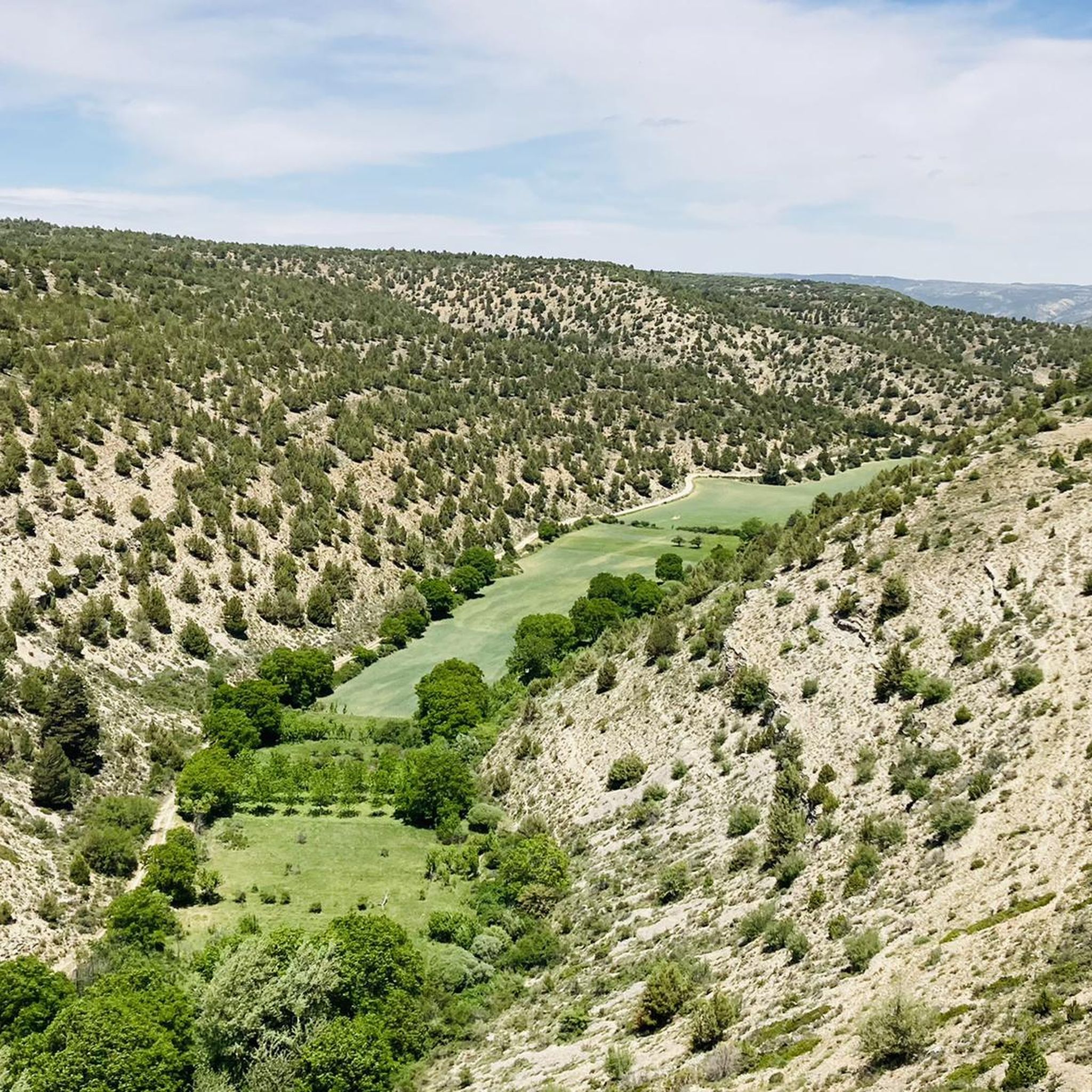
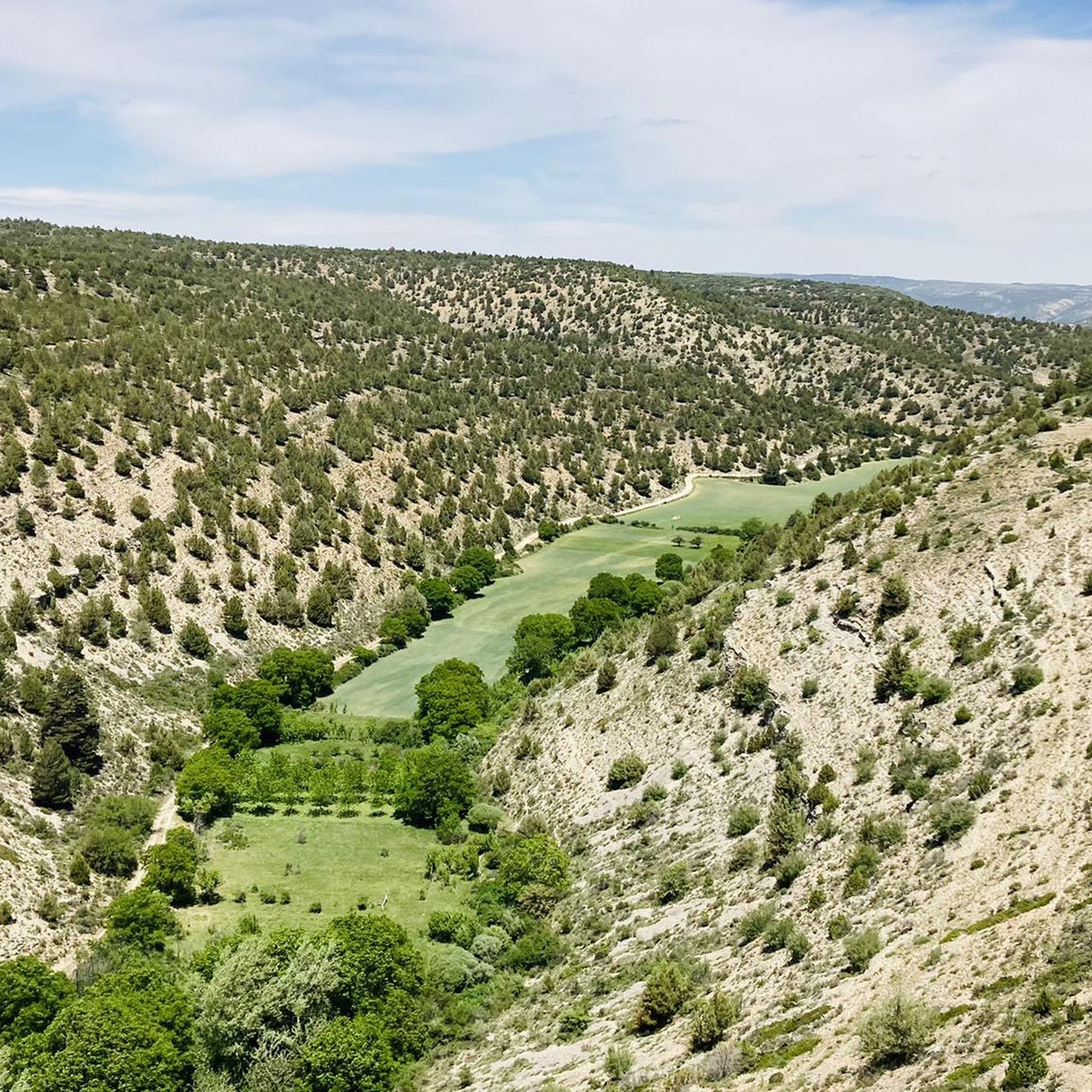
Tips from the Community

Beautiful asphalt road with a beautiful rock face towards a short gorge, with occasional possible stops
14
0

Viewpoint for the church offers a great view over the valley
0
0

In Albarracín, there is a well-known cat colony, managed by the Proyecto Gato Albarracín association, which has been caring for these animals for over 15 years. Approximately 200 cats live in the historic center and surrounding areas, blending seamlessly into the town's medieval landscape. Location: You'll see them strolling along the cobbled streets, near the city walls, the Portal de Molina, and on the Guadalaviar river promenade. It's common to find them on staircases, windows, and balconies. Characteristics: These cats are accustomed to the presence of tourists, very photogenic, and part of the town's charm. There is a wide variety of colors and breeds (Siamese, European Shorthair, tabby, etc.).
9
0

A very scenic mountain road with stunning sandstone cliffs along the route. Hardly any traffic, beautiful views – cycling here is simply a pleasure!
0
0
The view here is particularly expansive. A truly magnificent panorama.
0
0
A very scenic mountain road with stunning sandstone cliffs along the route. Hardly any traffic, beautiful views – cycling here is simply a pleasure!
1
0
A very scenic mountain road with stunning sandstone cliffs along the route. Hardly any traffic, beautiful views – cycling here is simply a pleasure!
0
0
The official source of water is located at Fuente de García, in the Montes Universales, within the municipality of Frías de Albarracín (Teruel). It is located at an altitude of approximately 1,590 meters, surrounded by pine forests and high mountain meadows. Access is very easy and well signposted. Take the A-1704 highway, which connects Frías de Albarracín with Huélamo (Cuenca). From the highway, a paved detour of approximately 2 km takes you directly to the recreational area and the monument. There is free parking next to the monument.
10
0
Frequently Asked Questions
What is the general difficulty level of gravel bike trails around Royuela?
Gravel biking around Royuela is primarily characterized by challenging routes. All 8 available tours are rated as difficult, featuring significant elevation gains and extensive forest tracks through the mountainous Sierra de Albarracín.
Are there any easy gravel biking routes for beginners in Royuela?
The gravel bike routes in Royuela are generally challenging, with all 8 listed tours rated as difficult. They involve substantial climbs and cover remote, mountainous terrain, making them more suitable for experienced riders rather than beginners.
What is the typical length and duration of gravel bike routes near Royuela?
The routes vary in length, from shorter loops around 17.6 miles (28.3 km) taking about 2 hours 40 minutes, to much longer expeditions like the Orihuela del Tremedal – Griegos loop from Tramacastilla, which is 65.2 miles (105.0 km) and can take over 10 hours to complete.
Are there any circular gravel bike trails in the Royuela area?
Yes, many of the gravel bike routes around Royuela are designed as loops. For example, the Carretera del Canto – Cabrerizo Viewpoint loop from Albarracín offers a 30.7 km circular ride with rewarding views.
What kind of scenic viewpoints or natural attractions can I expect on these trails?
The region offers rewarding viewpoints over the Sierra de Albarracín. You can also explore nearby natural attractions such as the Moricacho of the Gorge or the Guadalaviar Gorge. The trails often traverse pine forests and high plateaus, providing diverse natural scenery.
Are there any historical or cultural sites to see along the gravel routes?
Yes, the area around Royuela is rich in historical sites. You might encounter ancient rock shelters like the Shelter of the Archer of the Enclosed Ravines or the Prado del Navazo Bulls Rock Shelter, which showcase prehistoric art and history.
What is the best time of year for gravel biking in Royuela?
Given the mountainous terrain and potential for varied weather, spring and autumn generally offer the most pleasant conditions for gravel biking in Royuela, with milder temperatures and vibrant landscapes. Summers can be hot, and winters may bring challenging conditions at higher elevations.
What should I bring for gravel biking in Royuela?
Considering the challenging nature and remote areas of many routes, it's advisable to bring sufficient water, snacks, navigation tools (like komoot's app), a repair kit, and appropriate clothing for varied mountain weather. A helmet and sturdy gravel bike are essential.
What do other gravel bikers enjoy most about the routes in Royuela?
The komoot community rates the routes in Royuela with an average of 2.0 stars, with over 30 gravel bikers having explored the area. Riders often praise the challenging climbs, extensive forest tracks, and the rewarding panoramic views over the Sierra de Albarracín.
Are there any family-friendly gravel biking options in Royuela?
The gravel bike trails around Royuela are predominantly rated as difficult, featuring significant elevation and remote sections. This makes them less suitable for families with young children or those seeking very easy, flat rides. More experienced families might find some of the shorter loops manageable, but they should be prepared for challenging terrain.
Is there public transport access to the gravel bike trailheads in Royuela?
Public transport options directly to specific gravel bike trailheads in the remote Sierra de Albarracín region are limited. It is generally recommended to travel by car to access the starting points of these routes, especially for the longer and more remote trails.
Where can I find parking for gravel biking in Royuela?
While specific parking areas for each trailhead are not detailed, you can typically find parking in the small villages that serve as starting points for many routes, such as Albarracín or Tramacastilla. Always check local regulations and signage.
Most popular attractions around Royuela

Get inspired with the komoot mobile app


Explore more
Browse the best Gravel rides in other regions.
