The best running trails around Pescopennataro
5.0
(1)
50
runners
5
runs
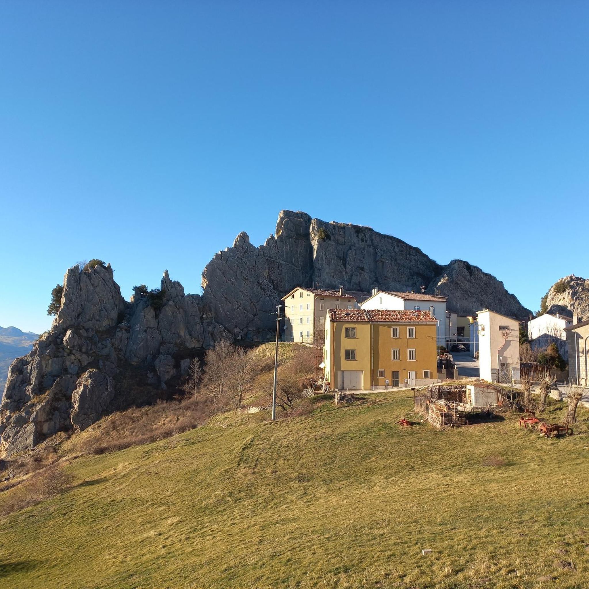
Jogging around Pescopennataro offers diverse terrain in Upper Molise, Italy, characterized by its mountainous landscape and extensive forests. The region features splendid woodlands of white firs, spruces, beeches, and turkey oaks, including the notable Bosco degli Abeti Soprani and Bosco di Vallazzuna. Situated on a rocky outcrop at 1190 meters above sea level, Pescopennataro provides panoramic views of the Sangro Valley. Paths wind through varying elevations and natural features like the Rio Verde springs, creating varied running experiences.
Best jogging…
Last updated: October 4, 2026
1
runners
9.37km
01:20
380m
380m
Jogging the Monte Campo and Monte Ciglione Loop is a difficult 5.8-mile route with 1253 feet of gain, offering panoramic views.
20
runners
7.09km
00:50
190m
190m
Moderate run. Good fitness required. Mostly paved surfaces. Suitable for all skill levels.

20
runners
8.59km
00:59
220m
220m
Moderate run. Good fitness required. Mostly paved surfaces. Suitable for all skill levels.
9
runners
7.47km
00:49
160m
160m
Moderate run. Good fitness required. Mostly paved surfaces. Suitable for all skill levels.
5.0
(1)
2
runners
Moderate run. Good fitness required. Mostly paved surfaces. Suitable for all skill levels.
Our route recommendations are based on thousands of hikes, rides, and runs completed by other people on komoot.
Start today with a free account
Your next adventure awaits.

Tips from the Community

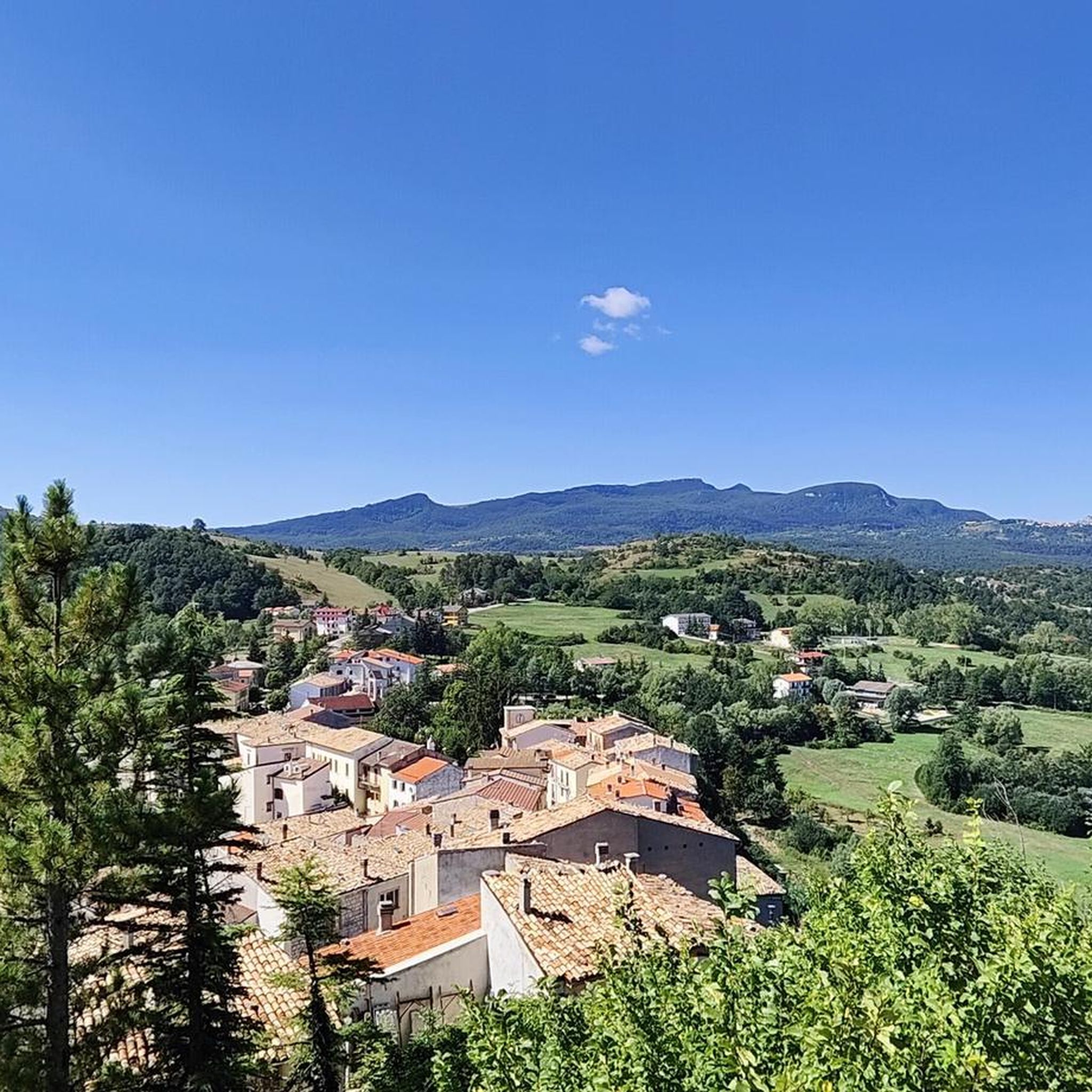
Agnone is a village in Upper Molise, an Orange Flag awarded to the region's most beautiful landscapes, perched at an altitude of approximately 830–840 meters on a hill overlooking the Verrino Valley. It is world-famous for the Marinelli Pontifical Bell Foundry and the Bell Museum, among the oldest foundries in Italy and the world. The historic center, with its Venetian quarter, historic buildings, and numerous churches, reflects a long artisan tradition, particularly in metalworking and quality cheesemaking.
0
0

The Deer Wildlife Area is a magical place in the Majella National Park. Despite its name, it's possible to spot deer, but it's a bit rare.
0
0

This complex of cross-country ski trails is located at an altitude of almost 1600 meters in Piano Gentile and has a total length of about 15 kilometres. The slopes are approved by the F.I.S.I. and in summer they become hiking trails. They are almost all within a forest of beech and fir trees and are divided into three rings.
1
0
The Refuge and the Baita Prato Gentile are accommodation facilities in a panoramic area surrounded by nature, close to the cross-country ski runs and hiking trails of Prato Gentile. Various services are available with a bar and restaurant serving typical Molise cuisine, as well as having an area equipped for outdoor picnics.
1
0
Along the path that connects Portella Ceca and Piano Gentile there is this natural water fountain that allows you to take a break to quench your thirst. Be careful because there is not always running water, but it depends on the season and the period.
1
0
Between the summit of Monte Campo at 1746 meters and the Portella Ceca at 1670 meters, the path follows the ridge of the mountain, it is exposed at times and often proceeds on blocks of stone. Pay attention.
1
0

The fortress of Castelfraiano, which gives its name to Monte Castelfraiano, had the function of being a supervisory point for transhumance and regulating access from Monteferrante and the Val di Sangro.
1
0
Frequently Asked Questions
What kind of terrain can I expect on the running routes around Pescopennataro?
The running routes in Pescopennataro are characterized by diverse and often challenging mountainous terrain. You'll find paths winding through extensive forests of white firs, spruces, beeches, and turkey oaks, offering plenty of shade. Many routes also feature significant elevation changes and provide panoramic views of the Sangro Valley, and sometimes even the Adriatic Sea on clear days.
Are there any easy or beginner-friendly jogging trails in the Pescopennataro area?
While many of the listed routes are moderate to difficult, the region does offer more accessible options. For a gentler experience, consider the area around the Rio Verde springs, which features an easy nature trail connecting to Pescopennataro. The "Bosco dell'Impero" (Pinocchio Park) also has accessible routes, including a bike path, which can be suitable for a relaxed jog.
What are some of the longer running routes available near Pescopennataro?
For those seeking longer distances, the area offers several options. The Running loop from Gamberale is approximately 12.5 km (7.8 miles) long, and the Running loop from Pizzoferrato covers about 11.6 km (7.2 miles). Both are classified as difficult and offer substantial elevation gains.
Can I find circular running routes in Pescopennataro?
Yes, several excellent circular running routes are available. A popular choice is the Monte Campo and Monte Ciglione Loop, which is a challenging 9.4 km (5.8 miles) trail. Another favorite is the moderate Belvedere Ripa loop from Agnone, spanning 7.6 km (4.7 miles).
Are there any scenic viewpoints or natural attractions along the running paths?
Absolutely! Pescopennataro is known for its stunning natural beauty. Many routes offer panoramic views of the Sangro Valley. You can also explore areas like the View of the Pescopennataro Crags or the La Crocetta of Capracotta for breathtaking vistas. The region is also home to the Verrino Waterfall and the pleasant Rio Verde springs.
What makes the running experience in Pescopennataro unique?
Pescopennataro, known as the "Country of Firs," offers a unique running experience due to its splendid and diverse woodlands, including the rare white firs of the Bosco degli Abeti Soprani. The village's elevated position at 1190 meters above sea level provides unparalleled panoramic views, and the presence of whimsical elements like the Pinocchio statues in "Bosco dell'Impero" adds a distinctive charm to your run.
Is Pescopennataro a good destination for trail running?
Yes, Pescopennataro is an excellent destination for trail running. Its mountainous terrain, varied elevations, and extensive network of paths through dense forests provide ideal conditions for both casual jogs and more strenuous trail running. The region's naturalistic trails and even cross-country skiing trails indicate a well-developed infrastructure for outdoor pursuits.
What can I expect regarding elevation changes on the running routes?
Given Pescopennataro's mountainous landscape, you should expect significant elevation changes on many routes. For example, the Monte Campo and Monte Ciglione Loop features over 380 meters (1,246 feet) of ascent. Even moderate routes like the Belvedere Ripa loop from Agnone include around 150 meters (492 feet) of climbing, ensuring a good workout.
Are there any specific forests or woodlands that are particularly good for running?
The region is renowned for its lush forests. The Bosco degli Abeti Soprani, famous for its rare white firs, and the Bosco di Vallazzuna are significant natural sites offering shaded and scenic routes. The "Bosco dell'Impero" (Pinocchio Park) is another excellent choice, providing accessible paths through a beautiful pine forest.
What do other runners say about jogging in Pescopennataro?
Runners often praise the diverse terrain and stunning natural beauty of Pescopennataro. The region's dense woodlands provide refreshing shade, while the mountainous paths offer challenging ascents and rewarding panoramic views. Many appreciate the variety of trails suitable for different ability levels, making it a great spot for both casual jogs and more intense trail runs.
Are there any routes that pass by historical or cultural sites?
While the primary focus for jogging is the natural landscape, the region does have historical points of interest. For example, the Italic Temple of Vastogirardi is a notable historical site in the broader area. Some routes might offer glimpses of local villages or traditional architecture, adding a cultural dimension to your run.
What is the best time of year to go running in Pescopennataro?
Pescopennataro's diverse forests provide ample shade, making it pleasant for running during warmer months. However, the mountainous terrain means cooler temperatures at higher elevations. Spring and autumn offer comfortable temperatures and vibrant scenery. Winter can also be beautiful, with possibilities for cross-country skiing trails, but runners should be prepared for colder conditions and potential snow.
Most popular attractions around Pescopennataro

Get inspired with the komoot mobile app


Explore more
Browse the best Running Trails & Routes in other regions.
