The best road cycling routes around La Chaux-des-Breuleux
4.7
(55)
2,260
riders
107
rides
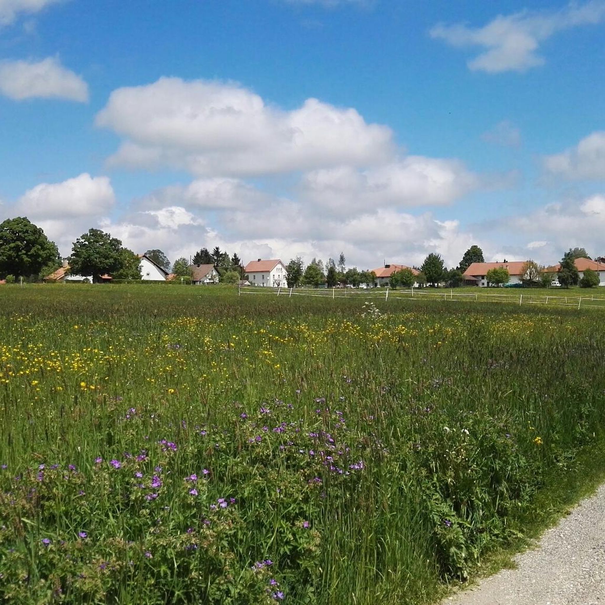
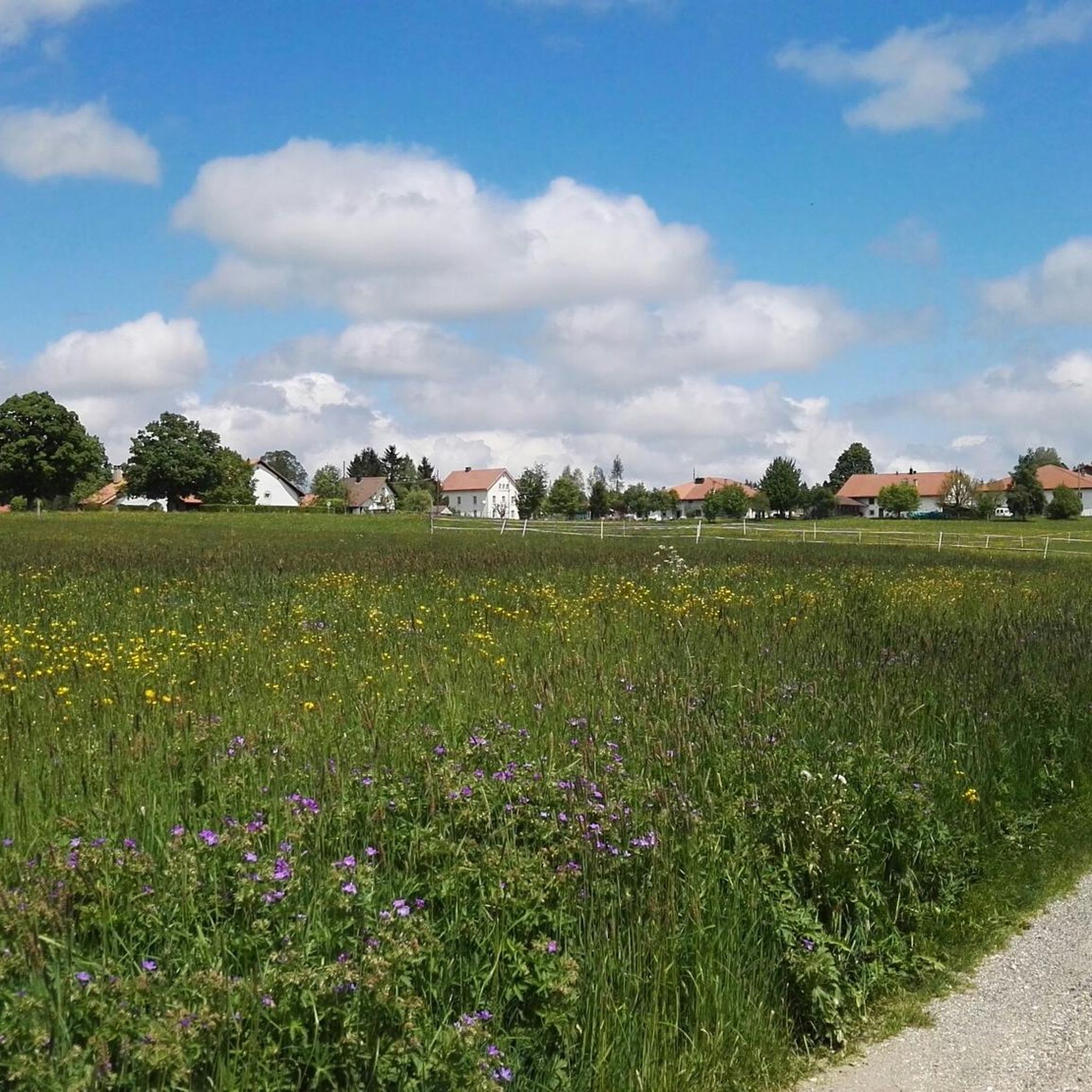
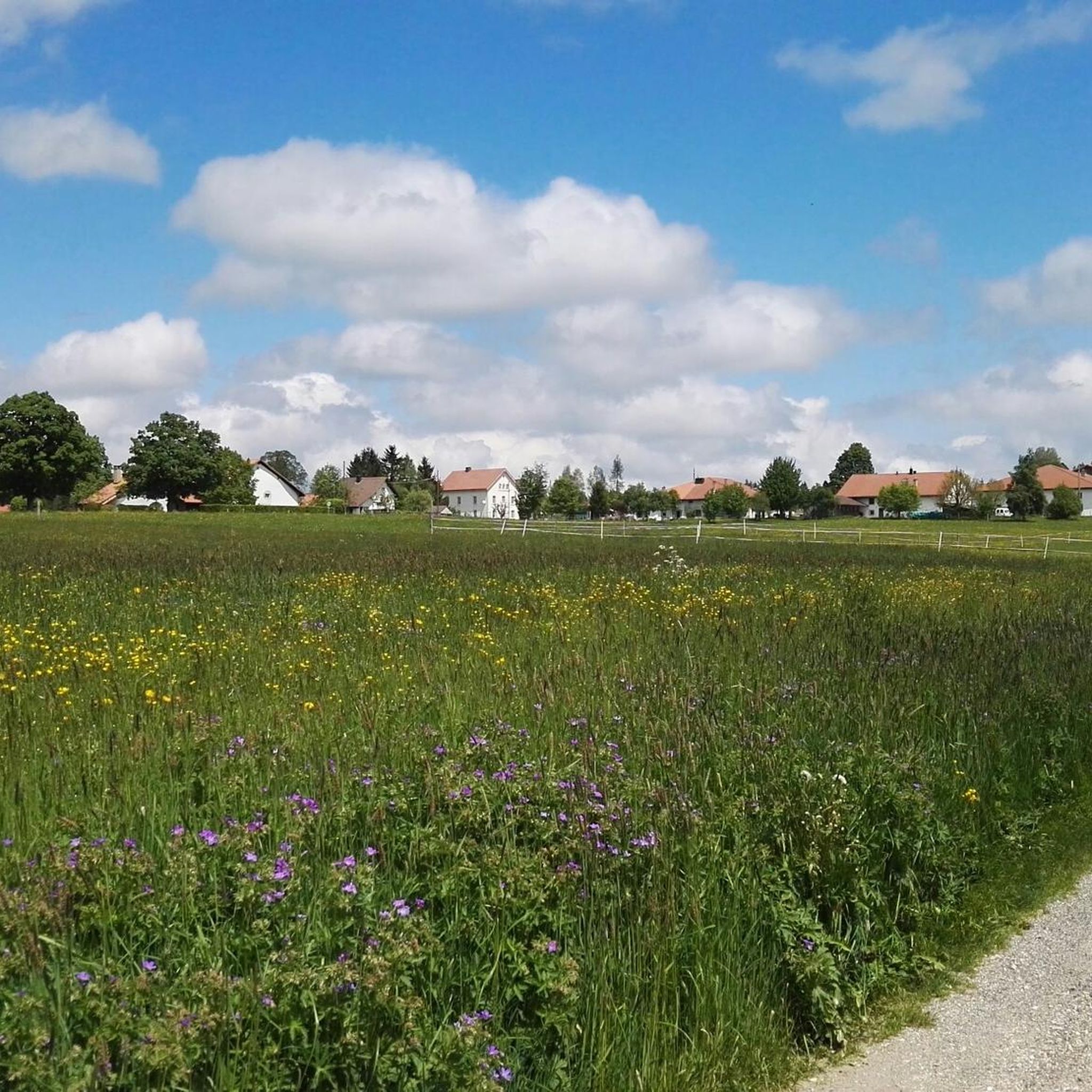
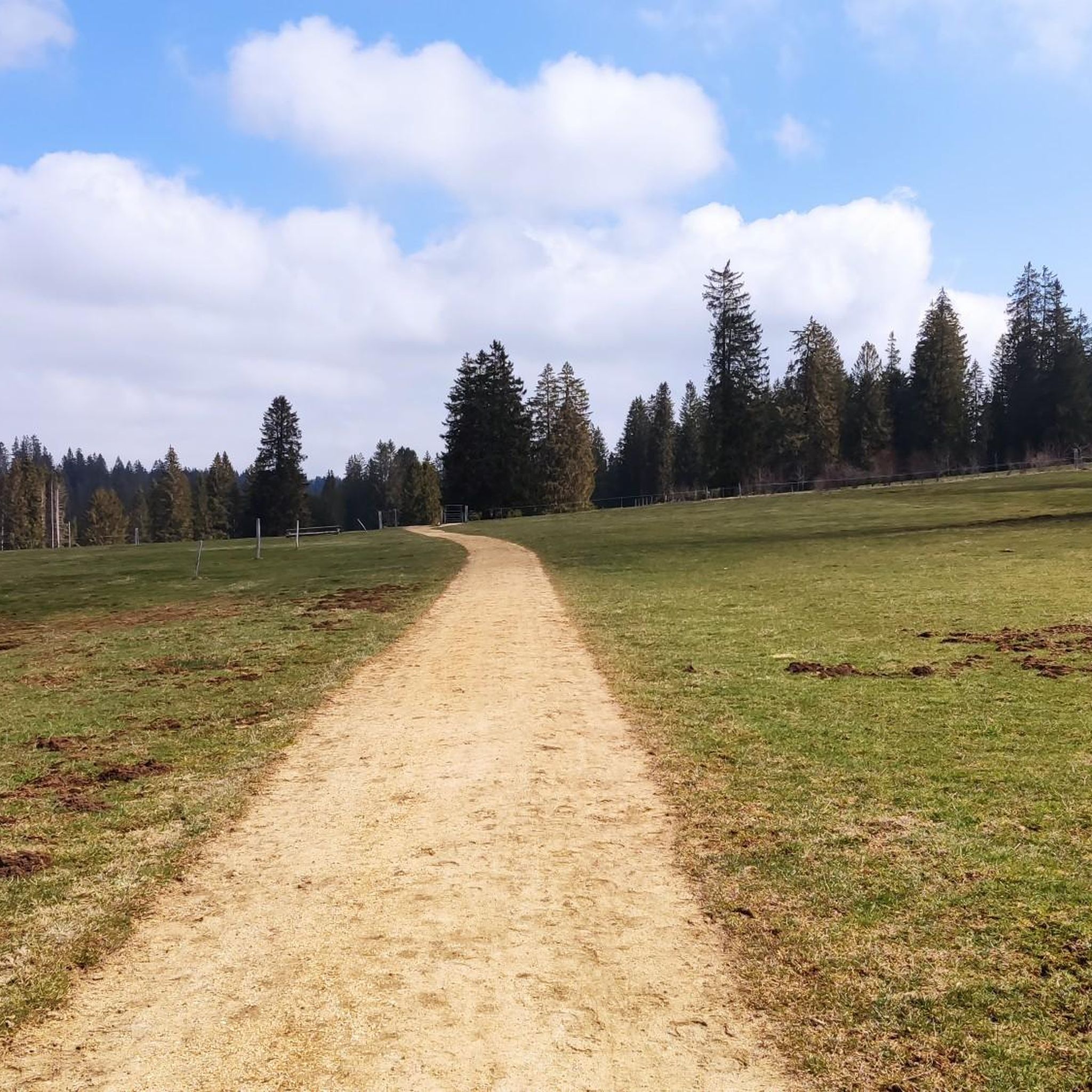
Road cycling around La Chaux-des-Breuleux offers varied terrain within the Franches-Montagnes district of the Swiss Jura canton. The region is characterized by expansive wooded pastures, dark pine forests, and verdant grasslands, providing dynamic routes for cyclists. Situated at an elevation of 1,016 meters (3,333 feet), the landscape features both gentle ascents and descents, with panoramic views of the Jura mountains. Traditional drystone walls and sprawling farmyards also contribute to the scenic beauty of the area.
Best road cycling routes around…
Last updated: May 20, 2026
4.5
(2)
72
riders
Hard road ride. Very good fitness required. Mostly well-paved surfaces and easy to ride.
32
riders
39.8km
02:37
1,040m
1,040m
Hard road ride. Very good fitness required. Mostly well-paved surfaces and easy to ride.

Sign up for free
5.0
(2)
32
riders
54.5km
03:33
1,650m
1,650m
Hard road ride. Very good fitness required. Mostly well-paved surfaces and easy to ride.
5.0
(1)
33
riders
63.0km
03:59
1,710m
1,710m
Hard road ride. Very good fitness required. Mostly well-paved surfaces and easy to ride.
5.0
(2)
20
riders
33.5km
01:53
460m
460m
Moderate road ride. Good fitness required. Some segments of this route may be unpaved and difficult to ride.
Get access to more routes and recommendations from other explorers.
Sign up for free
Already have an account?
Our route recommendations are based on thousands of hikes, rides, and runs completed by other people on komoot.
Start today with a free account
Your next adventure awaits.
Login or Signup
Tips from the Community

E-bike, considering portage areas just after Biaufond and steep climb to reach St.-Brais
0
0

It is worth taking the few steps to the viewpoint to enjoy the panorama over the Saint-Imier valley with the Chasseral.
0
0

A rock that unmistakably resembles the face of a monkey 😉
0
0

The cycling path from Tramelan to Saignelégier is on both separate cycleways and on the main highway. The asphalted surface on the roads and cycleways to Saignelégier are ih excellent condition.
0
0

An absolute highlight that the Jura has to offer. A magnificent route!
0
0


Beautiful border crossing from Switzerland to France in the Jura. When you pass through Goumois, be sure to take the bridge over the Doubs, which serves as the border between France and Switzerland, or climb one of the viewpoints, which offers unique vantage points on the Gorges du Doubs and the Swiss Jura.
2
0

Located at 1609 meters, on one of the highest peaks of the Jura, the hotel's views of the plateau, the Alps and the Three Lakes are breathtaking. Sit on the terrace or in the dining room to refuel after a walk in the Chasseral Regional Park. The hotel is easily accessible by bus, car or on foot, along one of the magnificent hiking trails.
1
1
Frequently Asked Questions
How many road cycling routes are available in La Chaux-des-Breuleux?
There are over 100 road cycling routes around La Chaux-des-Breuleux, offering a wide variety of options for different skill levels and preferences.
What kind of terrain can I expect when road cycling in La Chaux-des-Breuleux?
The region features a dynamic mix of expansive wooded pastures, dark pine forests, and verdant grasslands. You'll encounter both gentle ascents and descents, with the overall topography providing engaging rides and panoramic views of the Jura mountains.
Are there road cycling routes suitable for beginners or families?
Yes, La Chaux-des-Breuleux offers 8 easy road cycling routes. For a moderate option that includes a beautiful natural feature, consider the Étang de la Gruère – Le Peu loop from Les Breuleux, which is 33.8 km long.
Can I find challenging road cycling routes with significant climbs?
Absolutely. The area is known for its challenging routes. For experienced cyclists, options like the Mont Soleil Wind Turbines – Chasseral Summit and Viewpoint loop from Les Breuleux-Eglise offer significant elevation gain, reaching notable points like Mont Soleil at 1,289 meters above sea level.
Are there circular road cycling routes around La Chaux-des-Breuleux?
Many routes in the area are designed as loops, allowing you to start and finish in the same location. Examples include the challenging Ascent to La Caquerelle – Sorne Gorge Road (Gorges du Pichoux) loop from Les Breuleux-Eglise or the scenic Mont Crosin (1,227 m) – Mont Soleil Wind Turbines loop from La Chaux-des-Breuleux.
What natural features or landmarks can I see along the road cycling routes?
You can explore several natural and historical landmarks. A must-see natural feature is the Étang de la Gruère, a beautiful moorland lakelet. The region also features traditional drystone walls and historic farmhouses, with the entire hamlet of La Chaux-des-Breuleux being part of the Inventory of Swiss Heritage Sites.
Are there specific viewpoints offering panoramic views?
Yes, the routes often provide panoramic views of the Jura mountains, with the distant Alps visible on clear days. The Chasseral Summit and Viewpoint is a prominent location offering extensive vistas, often incorporated into longer, more challenging rides.
Is parking available for cyclists in La Chaux-des-Breuleux?
While specific parking areas for cyclists are not detailed, La Chaux-des-Breuleux is a rural area with various starting points for routes. It's generally possible to find parking in or near the village, especially at trailheads or public spaces, though it's advisable to check local signage.
How can I reach La Chaux-des-Breuleux by public transport with my bike?
La Chaux-des-Breuleux is integrated into broader transport networks. While specific bike transport regulations vary, Swiss public transport generally accommodates bikes, often requiring a special ticket or reservation. It's recommended to check the SBB (Swiss Federal Railways) website for current information on bike carriage on trains and buses to the region.
What do other road cyclists say about the routes in La Chaux-des-Breuleux?
The road cycling routes in La Chaux-des-Breuleux are highly rated by the komoot community, with an average score of 4.7 stars from over 50 reviews. Cyclists often praise the varied terrain, the stunning views of the Jura mountains, and the peaceful, natural settings.
What is the best time of year for road cycling in La Chaux-des-Breuleux?
The best time for road cycling in La Chaux-des-Breuleux is typically from late spring to early autumn (May to October). During these months, the weather is generally milder, and the landscapes are vibrant, offering ideal conditions for exploring the region's diverse terrain and scenic views.
Are there any moderate difficulty road cycling routes available?
Yes, there are 53 moderate difficulty road cycling routes in the area. A popular choice is the Étang de la Gruère – Le Peu loop from Les Breuleux, which covers 33.8 km and offers a balanced challenge through picturesque landscapes.
Most popular routes around La Chaux-des-Breuleux
Most popular attractions around La Chaux-des-Breuleux

Get inspired with the komoot mobile app


Explore more
Browse the best Road cycling routes in other regions.
