
The best walks and hikes around Hudson Falls
23
hikers
11
hikes
Hiking around Hudson Falls offers access to a diverse landscape situated in the foothills of the Adirondack Mountains. The region features the historic Glens Falls Feeder Canal, providing tranquil waterside paths, and the Hudson River along its western border. Terrain is generally flat, with minimal elevation changes, making it suitable for leisurely walks through developed areas and natural corridors.
Best hiking trails around Hudson Falls
- The most popular hiking route is Cole Woods Trail, a 2.1 miles (3.4 km) trail that takes 53 minutes to complete. This easy route features minimal elevation gain through wooded areas.
- Another top favourite among local hikers is Betar Byway, an easy 2.1 miles (3.4 km) path. This trail offers a flat and accessible walking experience with views of local scenery.
- Local hikers also love the Hovey Pond Trail, a 0.7 miles (1.2 km) trail leading through natural pond areas, often completed in about 17 minutes.
- Hiking around Hudson Falls is defined by canal paths, urban green spaces, and river proximity, with the broader Adirondack foothills nearby. The network offers options primarily for easy walks, suitable for various ability levels, alongside some more difficult routes.
- The guide includes highly-rated routes that showcase the best of the region's landscape. More than 10 hikers have used komoot to explore Hudson Falls's varied terrain.
Last updated: October 4, 2026
6
hikers
3.37km
00:53
20m
20m
Embark on an easy hike along the Cole Woods Trail, a 2.1-mile (3.4 km) route that winds through a mature forest. You will encounter wide walking paths and scenic surroundings, gaining only 73 feet (22 metres) in elevation over approximately 52 minutes. Look for the picturesque crossings over Halfway Brook, where wide, flat wooden bridges provide charming views. This route offers a gentle outdoor experience, perfect for a quick escape into nature.
The trails are maintained for year-round enjoyment, welcoming hikers during warmer months and cross-country skiers in winter. Many sections of the route are lighted until 10:00 PM, allowing you to extend your activities into the evening. For convenient access, look for designated parking areas located near the trailheads.
This multi-use trail is considered a community gem within Cole's Woods, offering a varied natural experience. You might also discover specific named sections, such as "The Long Diagonal," a relatively level quarter-mile stretch that showcases the diverse features of the area.
2
hikers
3.38km
00:53
30m
10m
Embark on an easy hike along the Betar Byway, a pleasant 2.1-mile (3.4 km) route that guides you along the Hudson River. You will experience a gentle elevation gain of 94 feet (29 metres) over approximately 52 minutes, making it perfect for a relaxed outing. As you follow the paved path, you will enjoy tranquil views of the river and pass through areas with predominantly deciduous trees, offering a serene environment for birdwatching, especially from the wooded bluff along the SGF Beach Bikeway Extension.
When you plan your visit, you will find the Betar Byway is designed for accessibility, featuring numerous benches and stopping points where you can pause and take in the scenery. The route connects directly to Sandbar Beach, the South Glens Falls Historical Park, and the historic Cooper's Cave site, allowing you to easily extend your exploration. Parking is generally available, providing convenient access to begin your hike.
This trail offers more than just a walk; it serves as a gateway to local history and natural beauty. You can delve into the area's past by visiting the historic Cooper's Cave site or explore the South Glens Falls Historical Park, both easily accessible from the byway. The Betar Byway provides a unique opportunity to combine a leisurely outdoor activity with cultural discovery, making it a notable feature of the region.

1.15km
00:17
0m
0m
Embark on an easy hike along the Hovey Pond Trail, a peaceful route that circles a picturesque four-acre pond. You will enjoy a gentle stroll across a marshland walkway, leading to observation decks where you can pause and take in views of the water and surrounding natural beauty. The trail also features vibrant floral gardens, adding splashes of color to your experience. This short and accessible path covers 0.7 miles (1.2 km) with a minimal elevation gain of just 5 feet (1 metres), making it perfect for a quick outing that takes approximately 17 minutes to complete.
Hovey Pond Park, located in Queensbury, New York, provides convenient access to the trail with generally available parking. You can bring your leashed dog along for the hike, but please keep them away from the playground area. The park is well-equipped with amenities, including a handicapped-accessible fishing dock, picnic tables, and the Freedom Park playground, ensuring a comfortable visit for everyone.
This trail offers a unique opportunity to connect with nature within a community park setting. The marshland walkway and observation decks are specifically designed to enhance your viewing experience of the pond's ecosystem. Furthermore, the beautiful floral gardens are meticulously maintained by the Friends of Hovey Pond, showcasing local horticultural efforts and adding a distinctive charm to your walk.
21.4km
05:35
140m
150m
Embark on a challenging hiking adventure along the Warren County Bikeway, where you will discover diverse landscapes and natural beauty. As you traverse the route, expect to encounter lush forests of pine and cedar, offering a refreshing atmosphere. Keep an eye out for picturesque villages and notable views of Lake George, especially as you approach the northern end of the trail. This difficult hike spans 13.3 miles (21.4 km) with an elevation gain of 472 feet (144 metres), typically taking around 5 hours and 34 minutes to complete.
When planning your visit, be aware that certain sections of the bikeway become shared-use with snowmobiles during the winter months, from December through March. While dogs and other motorized vehicles are generally not permitted, the trail is notably wheelchair accessible, offering broad access for many users. Always check local conditions before heading out, especially concerning seasonal changes and any specific access rules.
The Warren County Bikeway is rich in history, with informational signs along the way detailing the region's past, including its connections to the French and Indian War. Beyond the forests, you will also pass through interesting wetlands, particularly closer to Lake George, adding another layer of ecological diversity to your journey. This route provides a unique blend of natural exploration and historical insight within the Adirondack Park.
33.5km
08:46
250m
250m
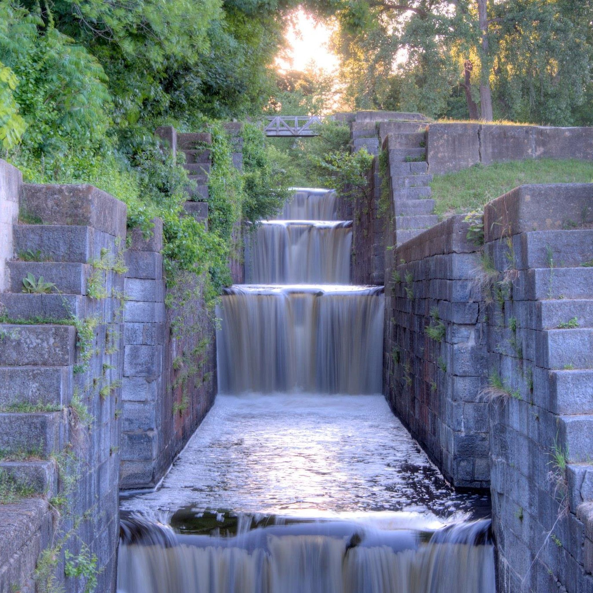
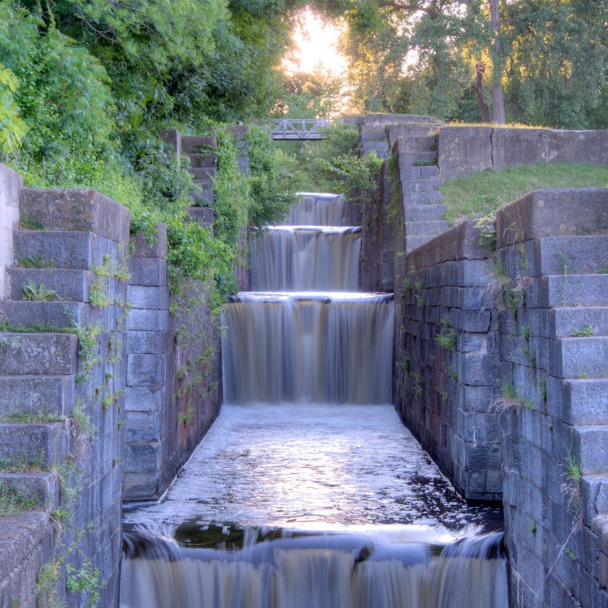
Embark on a challenging hike along the Champlain Canalway Trail, stretching 20.8 miles (33.5 km) from Fort Edward to Fort Ann. This difficult route presents an elevation gain of 817 feet (249 metres) and typically takes around 8 hours and 45 minutes to complete. As you traverse the path, you will follow the historic Old Champlain Canal, encountering original stonework at various locks, such as Lock 15. The trail offers wide-open views of the surrounding hills and, closer to Fort Edward, glimpses of the Hudson River, providing a varied and engaging experience.
For your visit, consider starting from the Fort Ann trailhead, which provides convenient amenities like parking, an informational kiosk, and a picnic shelter. While much of the route is off-road, be aware that some sections utilize on-road portions with light traffic, particularly as you pass through the Village of Fort Edward. Planning for a full day is essential given the trail's length and duration.
This trail offers a unique journey through history, largely tracing the path of the Old Champlain Canal. You will discover the significant role the canal played in the region's past, with its well-preserved locks serving as tangible reminders. The varied surfaces, ranging from stone-dust to paved sections and even some dirt roads, add to the adventure, ensuring that each part of your hike feels distinct.
Get access to more routes and recommendations from other explorers.
Already have an account?
Our route recommendations are based on thousands of hikes, rides, and runs completed by other people on komoot.
Start today with a free account
Your next adventure awaits.
Popular around Hudson Falls

Frequently Asked Questions
What kind of hiking trails can I expect around Hudson Falls?
Hiking around Hudson Falls primarily offers easy, flat trails, often following canal paths and urban green spaces in the nearby Glens Falls area. The terrain has minimal elevation changes, making it suitable for leisurely walks. These routes frequently trace waterways, providing a tranquil environment.
Are there any circular hiking routes near Hudson Falls?
Yes, all the routes in this guide are circular. For example, you can enjoy the Feeder Canal Trail loop from Glens Falls, which is 5.5 km, or the shorter Crandall Pond loop from Glens Falls North at 2.4 km.
Are there any waterfalls or scenic water features along the trails?
Yes, you can find scenic water features. The routes often follow the historic Feeder Canal, offering waterside views. Additionally, the Cooper's Cave Bridge is a notable highlight that includes a waterfall.
What are some family-friendly hiking options in the Hudson Falls area?
The trails in this guide are all rated as easy and are generally flat, making them very suitable for families. Routes like the Feeder Canal Trail loop from West Glens Falls offer accessible walking experiences along the canal.
Are the hiking trails around Hudson Falls dog-friendly?
While specific regulations can vary, many of the canal paths and urban green spaces in the Glens Falls area are generally dog-friendly, provided dogs are kept on a leash. It's always a good idea to check local signage or park websites for the most current pet policies before heading out.
What are some interesting places to explore or landmarks near the hiking routes?
Along the trails, especially those following the Feeder Canal, you can explore the Feeder Canal Heritage Trail itself, and the historic Glens Falls Feeder Canal Lock. The Cooper's Cave Bridge is another significant landmark.
How long do the hiking trails typically take to complete?
The trails in this guide vary in length and duration. The shortest route, the Crandall Pond loop from Glens Falls North, takes about 37 minutes. Longer options, like the Feeder Canal Trail loop from Glens Falls, can take around 1 hour and 23 minutes.
Is there parking available at the trailheads?
Given that many routes are centered around urban areas like Glens Falls and utilize canal paths, parking is generally available in nearby public lots or street parking. Specific parking details would depend on the exact starting point of your chosen route.
What is the best time of year to go hiking in the Hudson Falls area?
The easy, flat nature of these trails makes them enjoyable for much of the year. Spring and fall offer pleasant temperatures and scenic views of the changing foliage or blooming nature. Summer is also suitable, especially along the shaded canal paths, while winter hiking is possible for those prepared for colder conditions.
Are there any less crowded hiking trails or natural preserves nearby?
While the Feeder Canal trails are popular, you might find quieter moments on routes like the Crandall Pond loop from Glens Falls North. For a more natural setting, the Elk's Preserve is a nearby forest highlight that could offer a different experience.
What do other hikers enjoy most about hiking in the Hudson Falls area?
Hikers often appreciate the accessibility and ease of the trails, particularly the tranquil waterside views along the historic Feeder Canal. The flat terrain makes it enjoyable for various ability levels, and the urban green spaces provide a convenient escape into nature.
Most popular routes around Hudson Falls
Most popular attractions around Hudson Falls

Get inspired with the komoot mobile app


Explore more
Browse the best Hikes in other regions.
