The 3 Most Amazing Peaks around Staffelbach
Best mountain peaks around Staffelbach are found in a landscape characterized by agricultural land and forests, situated in the Swiss canton of Aargau. This region offers hiking opportunities through forested paths and past historical sites. The area is suitable for those who prefer easier terrain and natural scenery, with elevations around 488 meters. Trails and routes Staffelbach mountains provide access to various viewpoints and summits within this gently undulating environment.
Best mountain peaks around Staffelbach
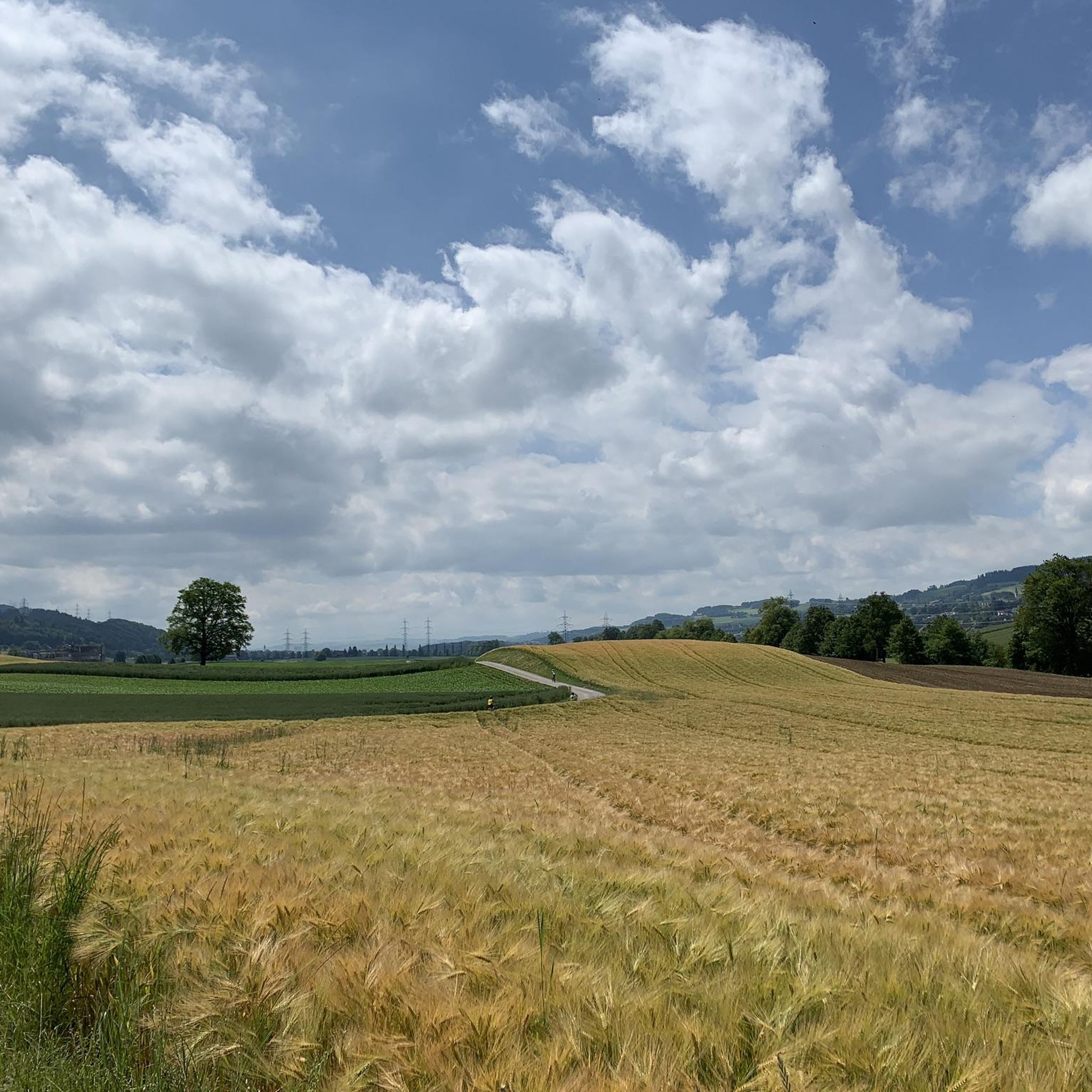
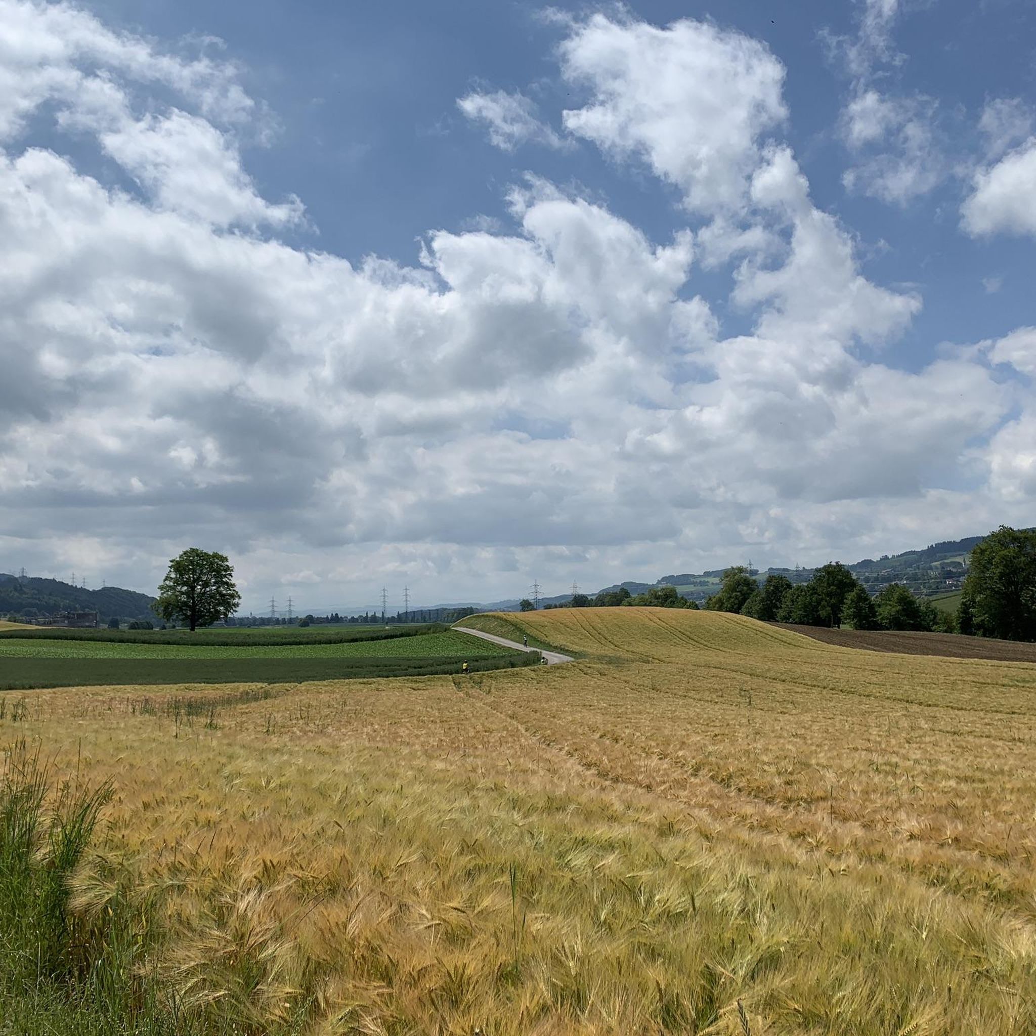
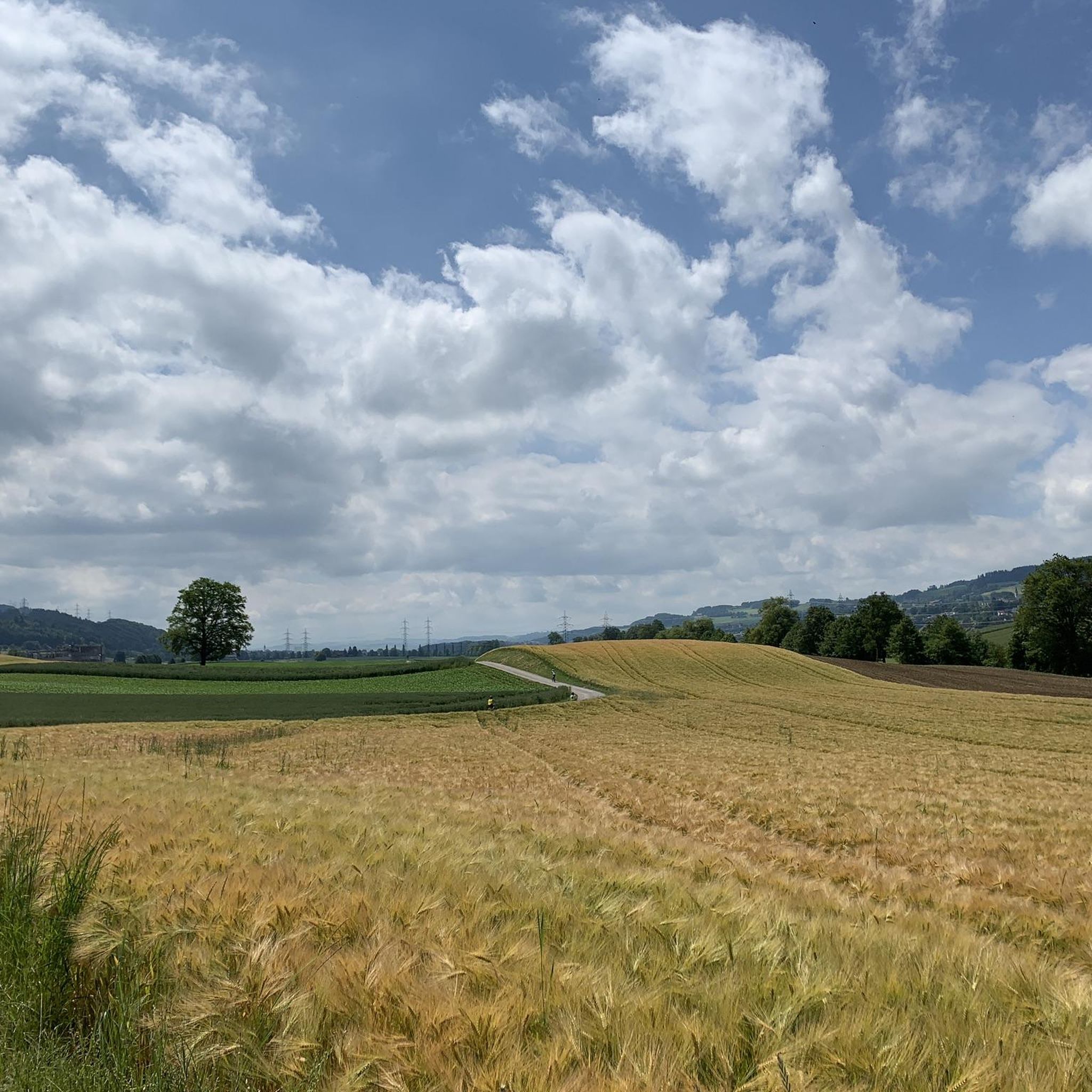
- The most popular mountain peaks is View of the Alps from Aargau, a viewpoint that offers expansive vistas. This spot provides clear views of the Alps from the Aargau region.
- Another must-see spot is Highest point, a summit. This highlight marks the highest point of the Wandfluhtrail, offering a challenging yet rewarding experience.
- Visitors also love Stierenberg Summit, a summit. This is the highest mountain in the Canton of Aargau, reaching 872 meters above sea level, and features a great landscape.
- Staffelbach is known for summits, viewpoints, and historical sites. The variety of mountain peaks to see and explore includes natural high points and significant boundary markers like the Siebenzwingstein.
- The mountain peaks around Staffelbach are appreciated by the komoot community, with 205 upvotes and 48 photos shared by visitors.
Last updated: August 9, 2026
Siebenzwingstein Boundary Stone
Highlight • Monument
The border point marks the border between the three municipalities of Gränichen, Teufenthal, and Seon. It thus simultaneously marks the border between three districts of the canton of Aargau: Lenzburg, Kulm, and Aarau. The Siebenzwingstein is located at 607 m above sea level.
The name of the stone comes from the fact that seven municipalities, districts, or Zwinge (administrative districts) used to meet at this spot. A Zwingbezirk (administrative district) used to comprise several villages with a common judicial system. The 7 areas were:
District Kulm: Teufenthal
Dürrenäsch (for inexplicable reasons, no longer extends to the Siebenzwingstein)
Retterswil (incorporated into the municipality of Seon since 1898)
District Lenzburg: Seon
District Aarau: Gränichen
Liebegg (merged into the municipality of Gränichen)
Trostburg (now belongs to Teufenthal)
Showing Translation
Tip by

Stierenberg Summit
Highlight • Summit
The Stierenberg is the highest mountain in the whole of the Canton of Aargau (872 m above sea level).
Translated by Google •
Tip by

Sign up now to discover places like this
Get recommendations on the best single tracks, peaks, & plenty of other exciting outdoor places.
Sign up for free
Wauwil Pile Dwelling Settlement
Highlight • Historical Site
It is possible to charge mobile phones using solar power.
Translated by Google •
Tip by

Highest point
Highlight • Summit
Translated by Google •
Tip by
View of the Alps from Aargau
Highlight • Viewpoint
Watch out for the stairs at the beginning.
If it's wet: better get off!
Translated by Google •
Tip by

Start today with a free account
Your next adventure awaits.
Login or Signup
Tips from the Community

It's not a detour, it's part of the tour.
0
0


The climb is worth it. The departure is dev. a highlight!
4
0

Small, replica pile dwelling settlement near Wauwil. There is also a Stone Age educational trail there. The Stone Age excavations at the Wauwilersee, which was drained in the 19th century, are a UNESCO World Heritage Site. It is possible to charge mobile phones using solar power.
0
0

Unfortunately the summit is entirely in the forest and there is no view
3
0
The Siebenzwingstein is a boundary stone. You can find the exact meaning on Wikipedia. https://de.wikipedia.org/wiki/Siebenzwingstein?wprov=sfla1 If you just whiz by, you'll hardly see it, as it lies a few meters above the road.
1
0

Is hidden just before the paths cross.
1
0

Great stone but be careful not to miss it!!
1
0
Frequently Asked Questions
What are the most notable high points and viewpoints around Staffelbach?
While Staffelbach in Aargau, Switzerland, is known for its gently undulating landscape rather than towering peaks, several elevated spots offer great views and interesting features. The Stierenberg Summit is particularly significant as the highest mountain in Canton Aargau. Another excellent spot for panoramic vistas is the View of the Alps from Aargau.
Are there family-friendly walks or activities near Staffelbach's high points?
Yes, the area offers options suitable for families. The Stierenberg Summit is considered family-friendly, offering a rewarding climb with great landscape views. Additionally, the Wauwil Pile Dwelling Settlement, a UNESCO World Heritage Site with a replica settlement and Stone Age educational trail, is also family-friendly and provides an engaging historical experience.
What kind of historical or cultural sites can I find near these high points?
The region is rich in history. The Siebenzwingstein Boundary Stone is a fascinating historical marker where seven municipalities or administrative districts once met. You can also visit the Wauwil Pile Dwelling Settlement, a replica Stone Age village and educational trail, which is part of a UNESCO World Heritage Site.
What outdoor activities, besides hiking, can I do near Staffelbach's high points?
The area around Staffelbach is excellent for cycling. You can explore various routes, including traffic-free bike rides and touring bicycle routes. For example, consider routes like the "Path along the Suhre – Suhre Valley Cycle Path loop from Safenwil" or the "Hallwyl Castle – Böhler Pass loop from Schöftland." You can find more details on these and other cycling options in the Traffic-free bike rides around Staffelbach and Cycling around Staffelbach guides.
What is the difficulty level of hiking trails around Staffelbach's high points?
Hiking difficulties vary. The Siebenzwingstein Boundary Stone and Stierenberg Summit are generally considered intermediate. There are also more challenging trails, such as the "Highest point" highlight, which is part of the demanding Wandfluhtrail.
What do visitors enjoy most about the high points and trails near Staffelbach?
Visitors frequently praise the panoramic views, especially from the Stierenberg Summit, which is described as having a "great landscape and fireplace." The trails themselves are often highlighted for their quality, with one visitor noting the "Highest point" as "What a cool trail."
Are there any specific trails or routes recommended for mountain biking near Staffelbach?
Yes, there are several mountain biking routes. You can find options like the "Path along the Suhre – Suhre Valley Cycle Path loop from Safenwil" or the "Zofingen Forest Trail – View of the Alps from Aargau loop from Muhen." These and other routes are detailed in the Traffic-free bike rides around Staffelbach guide.
What kind of natural scenery can I expect to see on hikes around Staffelbach?
The landscape around Staffelbach is characterized by forests and agricultural land. Many high points, like the Stierenberg Summit, are surrounded by forest, offering pleasant, shaded paths. You'll also encounter open areas with views of the surrounding countryside and, from certain vantage points, even the distant Alps.
Is there a specific 'highest point' or summit to aim for in the Staffelbach area?
The Stierenberg Summit is the highest mountain in the Canton of Aargau, reaching 872 meters above sea level. It's a popular destination for those looking to reach a significant high point in the region.
Where can I find more information about the municipality of Staffelbach itself?
For general information about the municipality of Staffelbach in the Swiss canton of Aargau, you can visit its Wikipedia page: wikipedia.org/wiki/Staffelbach. This provides context on its location and general characteristics.
Most popular routes around Staffelbach
Most popular attractions around Staffelbach

Get inspired with the komoot mobile app


Explore more
See even more amazing summits around Staffelbach with these guides:
