The 5 Most Amazing Peaks in Landkreis Pfaffenhofen an der Ilm
Best mountain peaks in Landkreis Pfaffenhofen an der Ilm are characterized by elevated points within a rolling landscape. This region offers accessible hills that provide views over the Hallertau hop-growing area. These peaks are suitable for various outdoor activities, including easy hikes and walks. The landscape provides a broad perspective of the agricultural heartland.
Best mountain peaks in Landkreis Pfaffenhofen an der Ilm
- The most popular mountain peaks is Highest Point of the Hallertau, a summit that offers a view of Osseltshausen and the Hallertau hop-growing region. This spot features seating, a Bavarian flag, and a summit book.
- Another must-see spot is Brünnelberg, a forest summit where the top lies in a densely forested area. It offers an idyllic and quiet experience in the woods.
- Visitors also love Buckelberg Summit and Telecommunications Tower, a summit that features a radio tower and offers a notable view. It is accessible via a gravel path.
- Landkreis Pfaffenhofen an der Ilm is known for its accessible hills, elevated points, and summits. The region offers a variety of mountain peaks to see and explore, often providing views of the surrounding agricultural landscape.
- The mountain peaks in Landkreis Pfaffenhofen an der Ilm are appreciated by the komoot community. These highlights have received more than 200 upvotes and feature over 190 photos.
Last updated: August 9, 2026
Highest Point of the Hallertau
Highlight • Summit
Translated by Google •
Tip by

Brünnelberg
Highlight • Forest
Translated by Google •
Tip by

Sign up now to discover places like this
Get recommendations on the best single tracks, peaks, & plenty of other exciting outdoor places.
Sign up for free
Buckelberg Summit and Telecommunications Tower
Highlight • Summit
Translated by Google •
Tip by
Leitlhöhe
Highlight • Summit
Translated by Google •
Tip by
Start today with a free account
Your next adventure awaits.
Login or Signup
Popular around Landkreis Pfaffenhofen an der Ilm
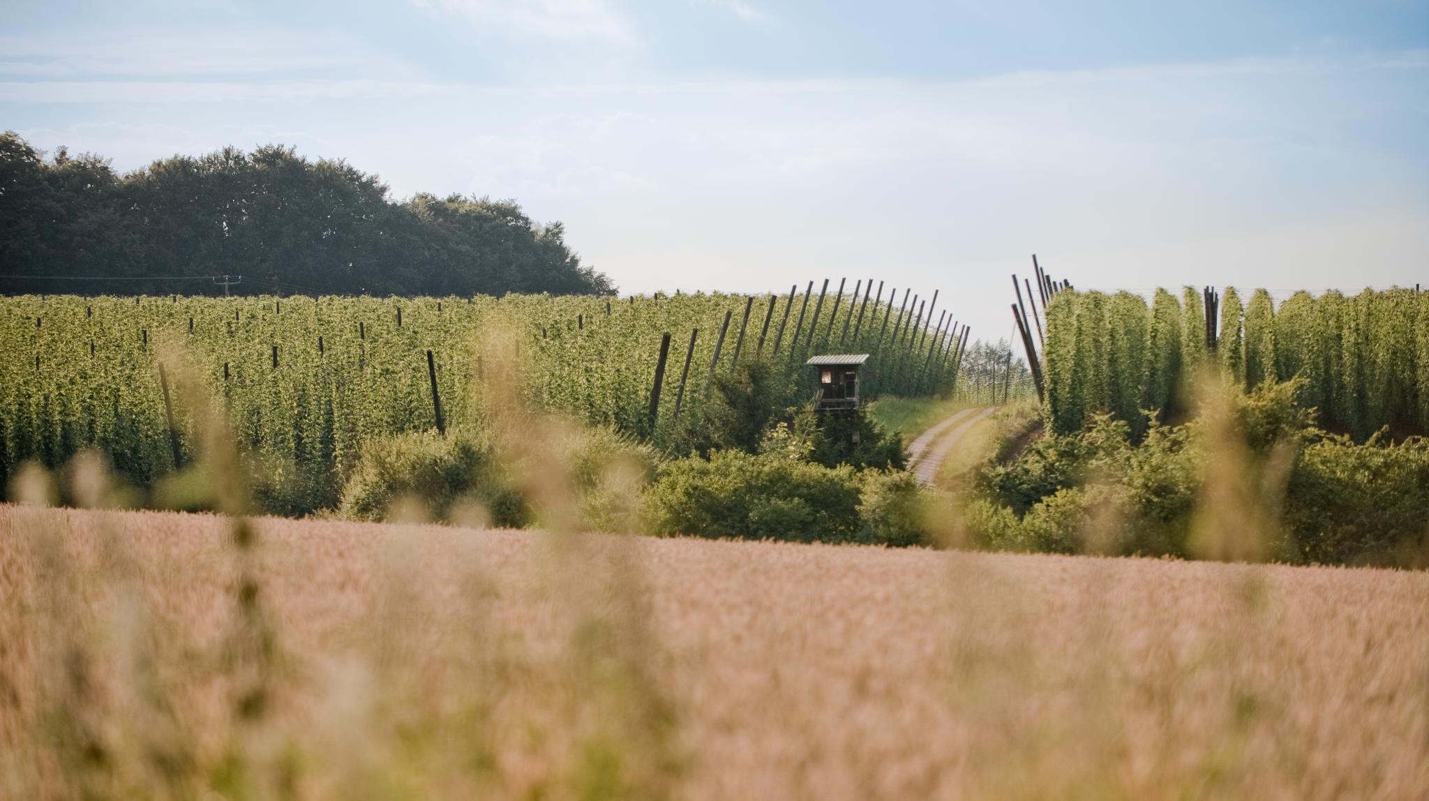
Through hop gardens and hills – hiking in the Hallertau
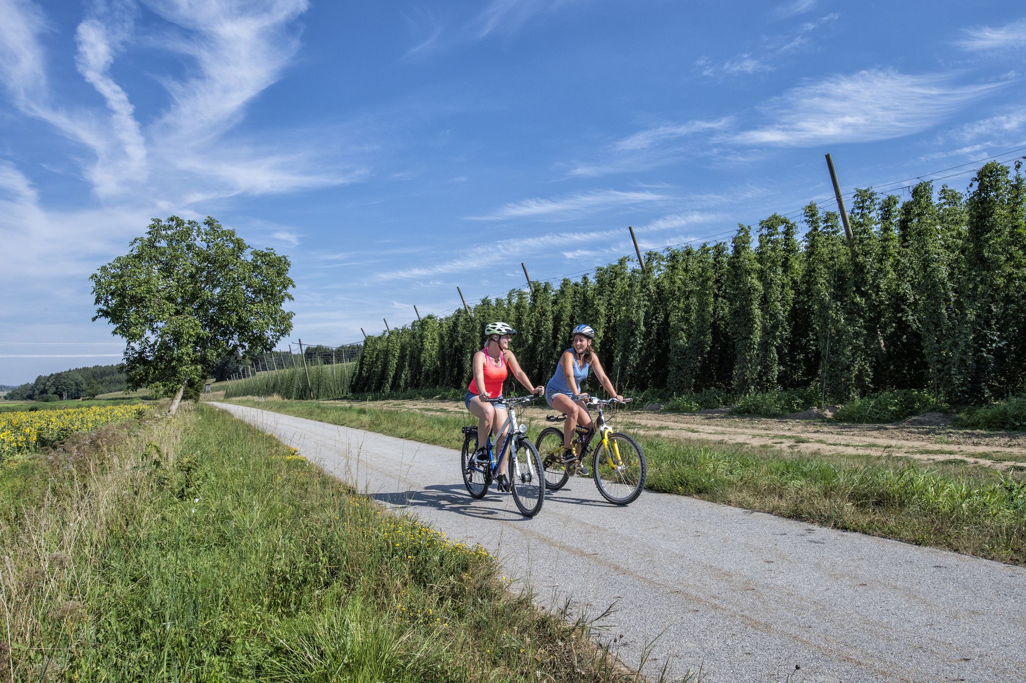
Cycling in the Hallertau – rides through the home of the green gold
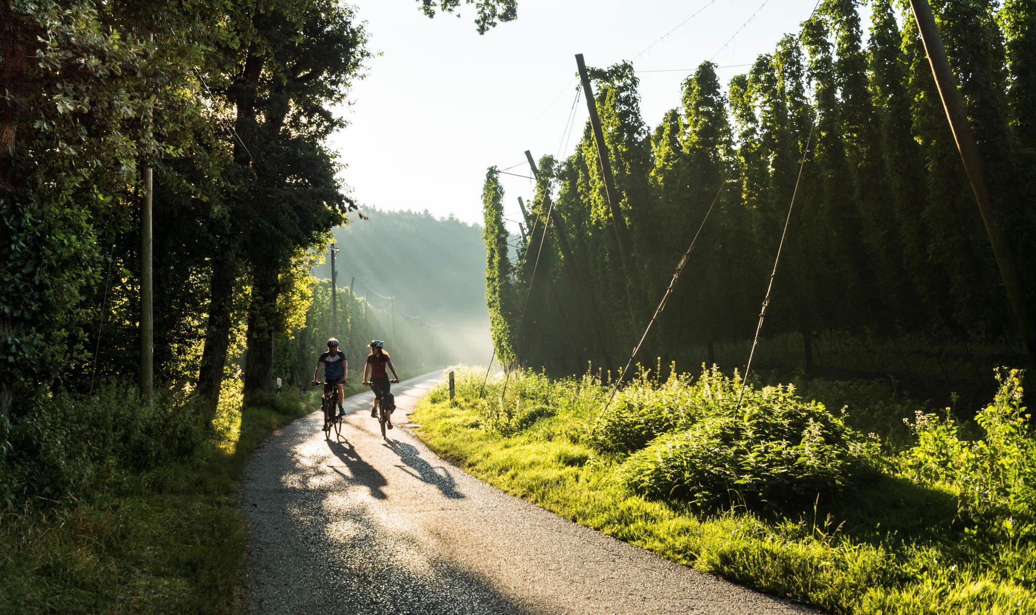
Beer and bikes – day Tours around Ingolstadt in Bavaria
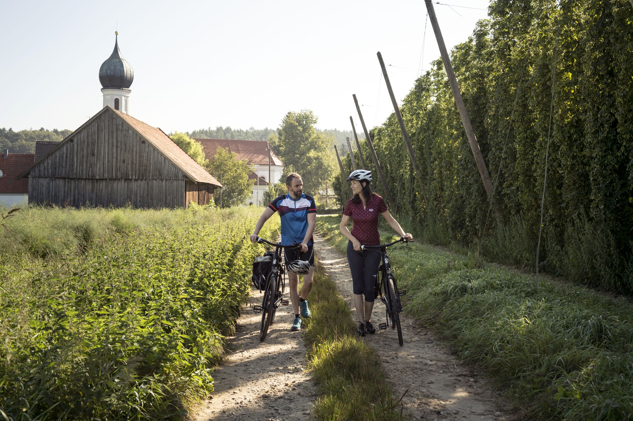
Hops, beer gardens & breweries – Cycling the Hop Loop in Upper Bavaria
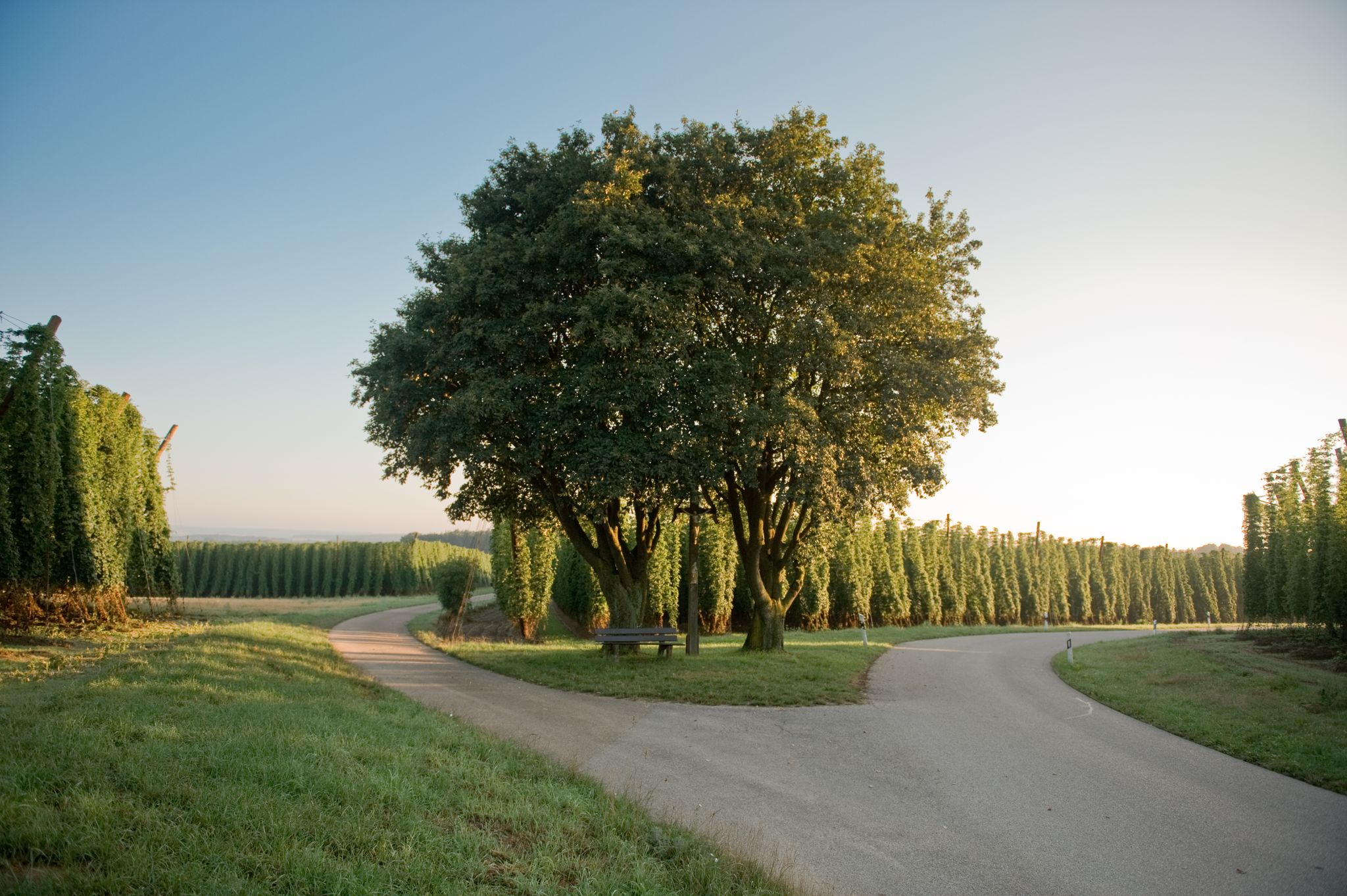
Radeln durchs Grüne Gold – Hallertauer Hopfentour
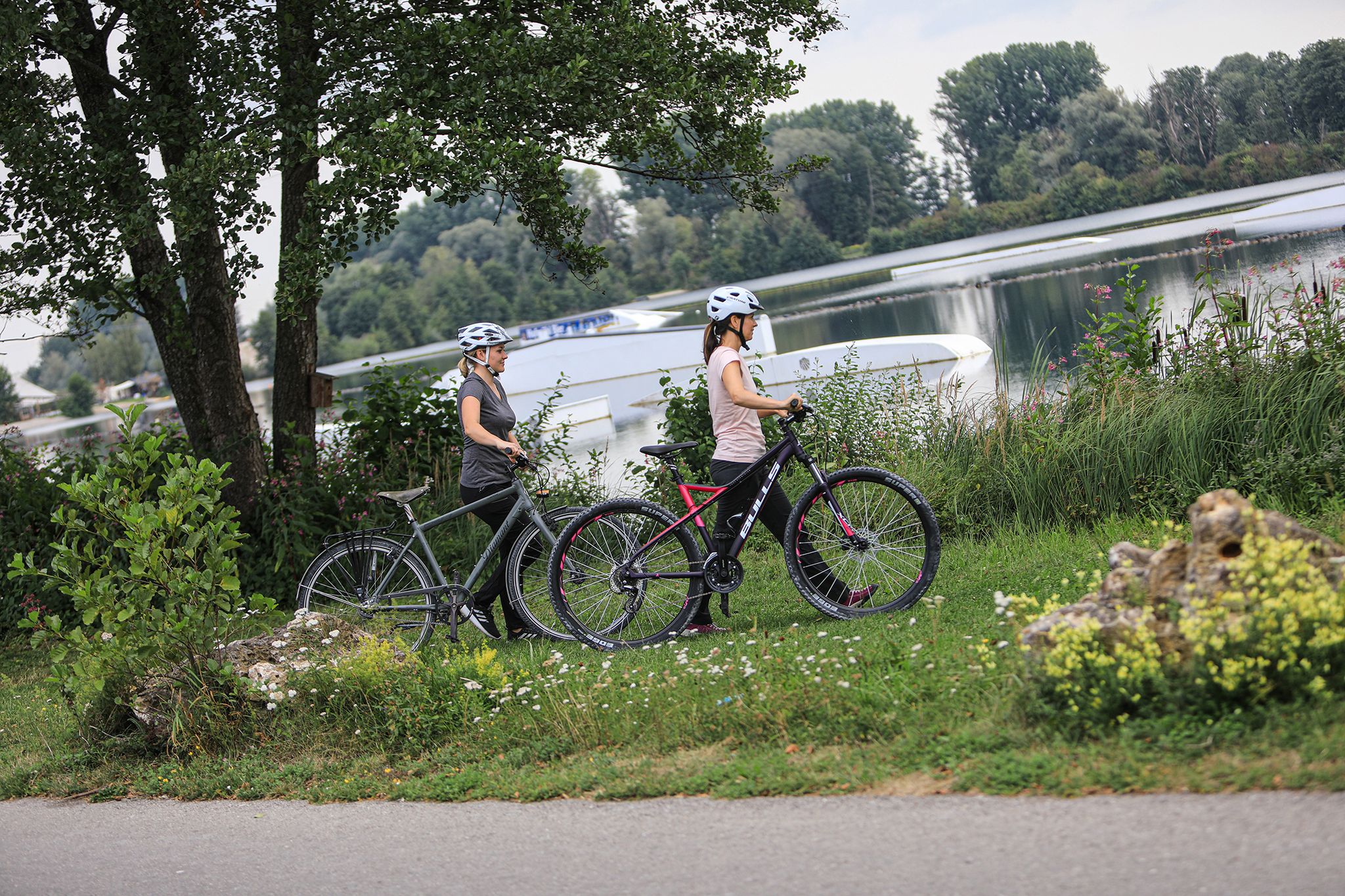
Radeln am Wasser entlang
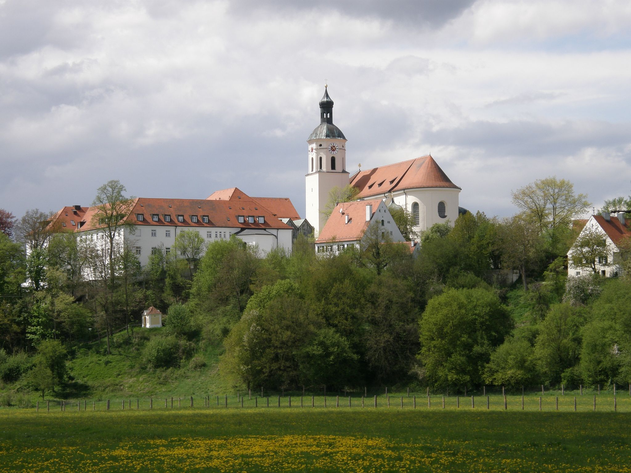
Kapellenwanderwege Hohenwart
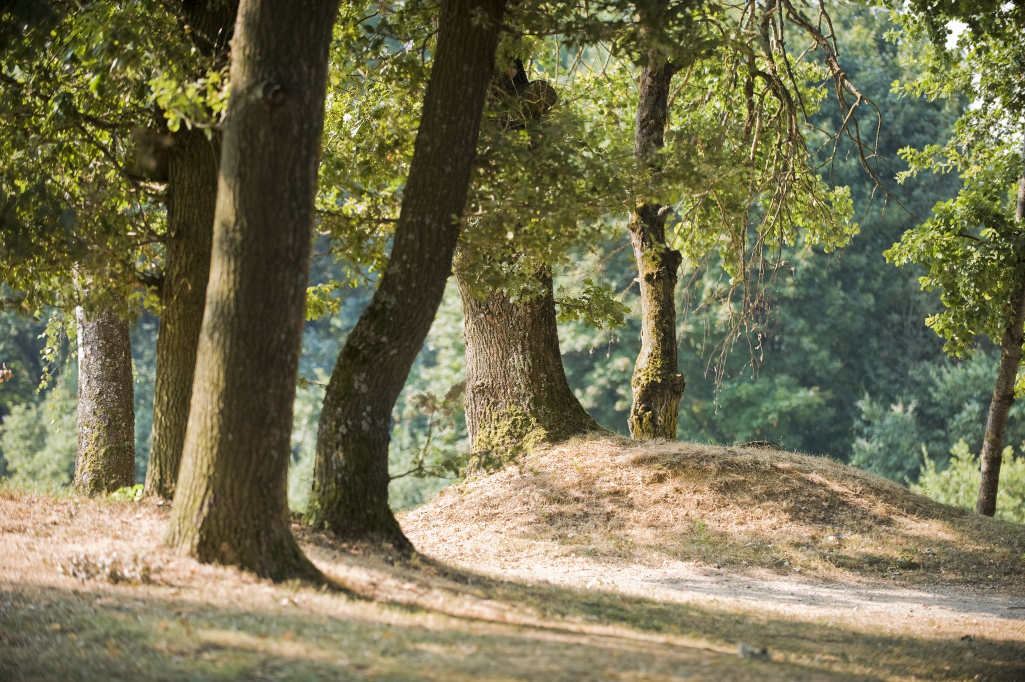
Waldwandergebiet Reichertshausen, Paunzhausen, Ilmmüster
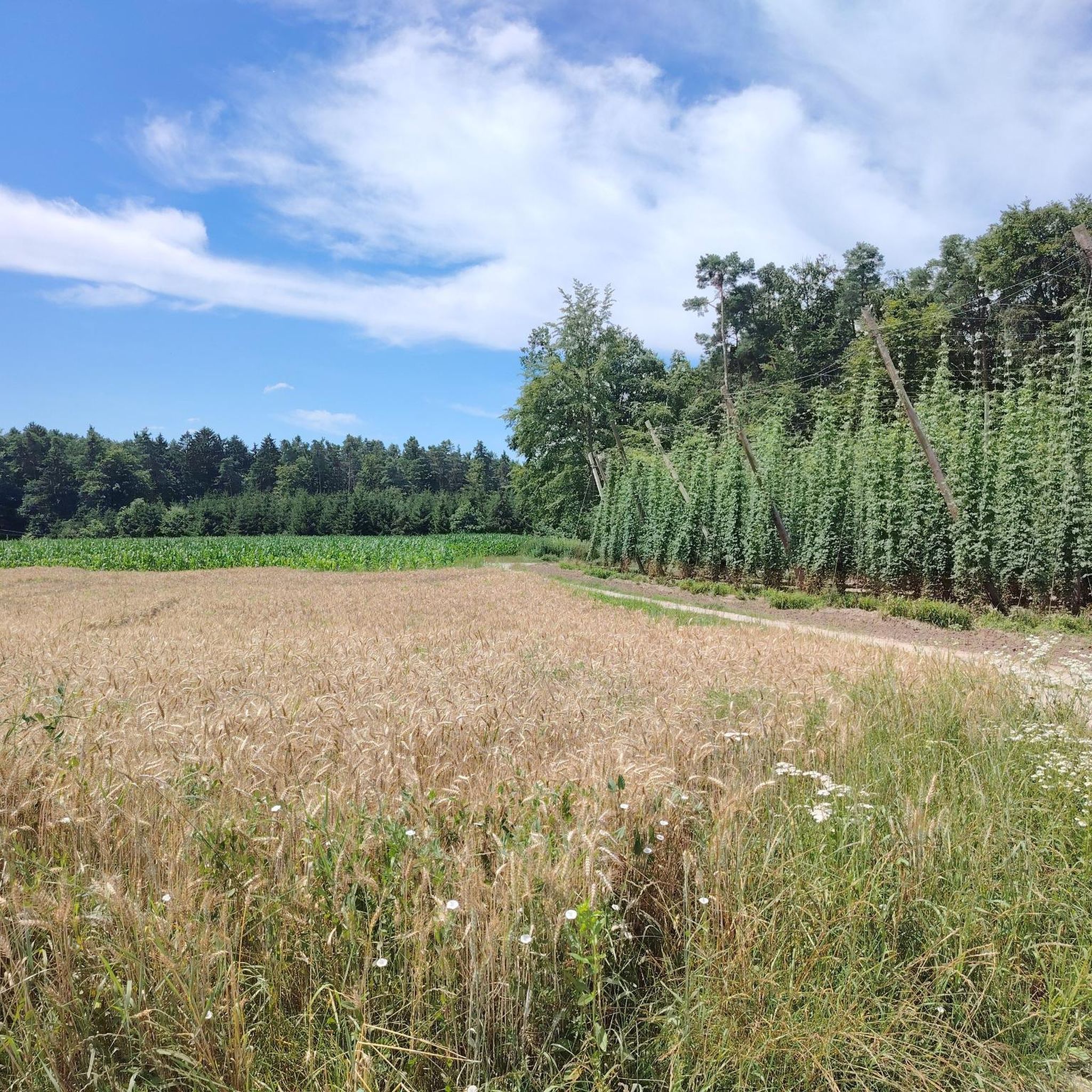
Cycling in Landkreis Pfaffenhofen an der Ilm
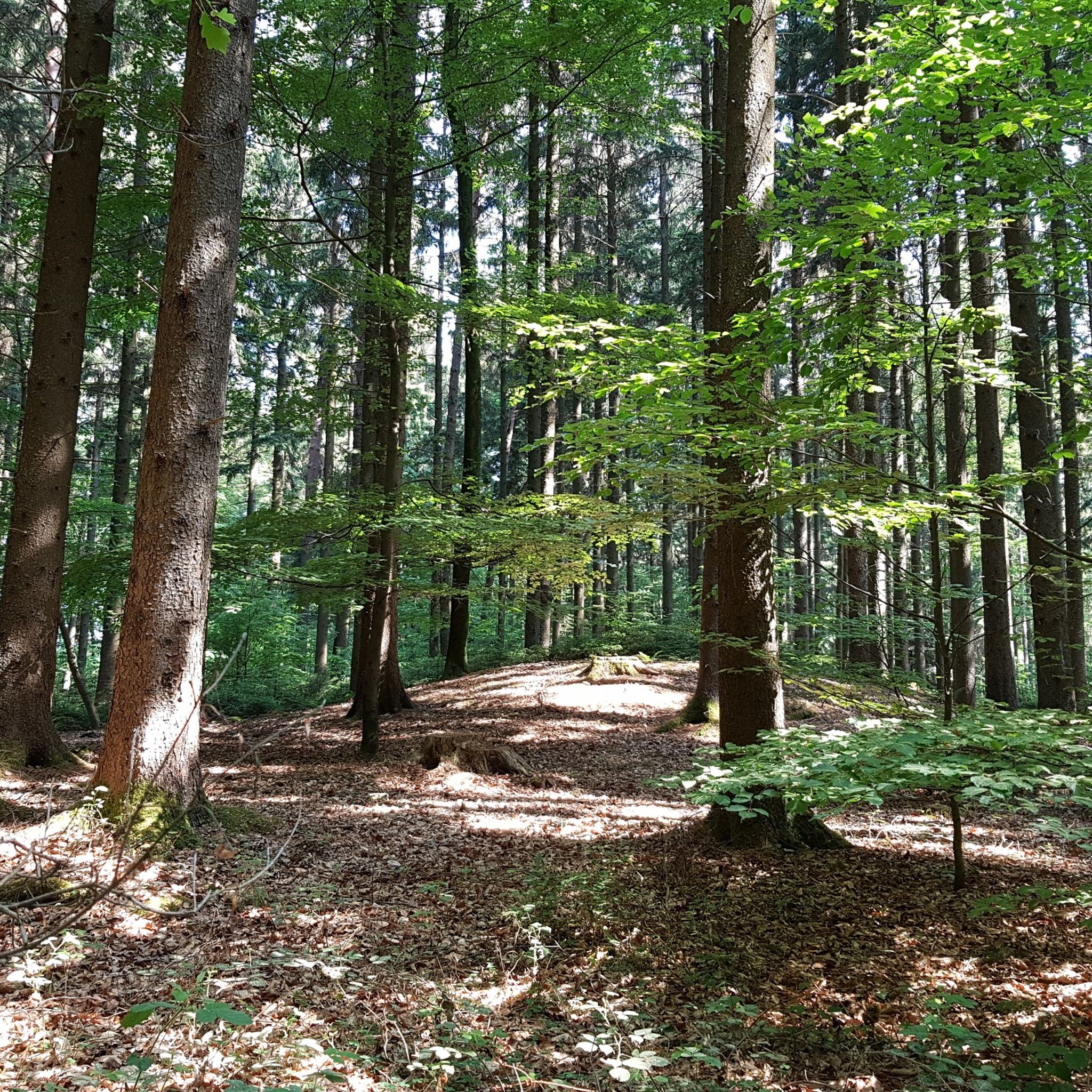
Hiking in Landkreis Pfaffenhofen an der Ilm
Other adventures in Landkreis Pfaffenhofen an der Ilm


Tips from the Community

Obviously a popular destination. Beautiful place with a good view. The path up is less suitable for racing bikes, but it was...
2
0

This is an idyllic spot with a view over the hop country! There is seating (Corona Bankerl), a white-blue Bavarian flag and a summit book. The highest elevation of the beautiful Hopfenland at 534 meters can be easily reached on a walk (from Au/Hallertau, Osseltshausen, Rudertshausen, Reith, Egg) or by bike. It is located near Osseltshausen (municipality of Au/Hallertau). In Au in the Hallertau you can still make a detour to the beautiful beer garden of the Schloßbräukeller!
2
0

Beautiful well-groomed place, lovingly! Great view over the sea of hops
1
0

Small hill, the top of which lies in densely forested forest. Views aren't particularly spectacular but it's very idyllic and quiet in the woods despite its proximity to the A9. Accessible by bike or on foot via a dirt road that leads directly along a hop field.
1
0
The top of this hill is right on the corner of the football field of FC Schweiterkirchen.
1
0
Small hill near the highway with a radio tower on top. The view is quite nice. You can drive or bike to the top via the gravel path.
1
0

Highest point of the Hallertau
2
0

The view is not terrific now, there are nicer places. But definitely and officially the highest point of the largest contiguous hop-growing area in the world - the Holledau! If that alone is not worth a visit! 😉😀
1
1
Frequently Asked Questions
What is the highest point in Landkreis Pfaffenhofen an der Ilm?
The highest point in the region is the Highest Point of the Hallertau, also sometimes referred to as Wüstersberg. It reaches approximately 547 meters and offers idyllic views over the Hallertau hop-growing region. Visitors can find seating, a Bavarian flag, and a summit book there.
What kind of views and natural features can I expect from the peaks in this region?
The peaks in Landkreis Pfaffenhofen an der Ilm, being more akin to elevated hills, provide picturesque views of the unique landscape of the Hallertau. You can expect broad perspectives of the agricultural heartland, particularly the distinctive hop gardens. For example, the Highest Point of the Hallertau offers a wonderful view of Osseltshausen and the eastern Hallertau.
What is the typical terrain and difficulty level for hiking these peaks?
The peaks in Landkreis Pfaffenhofen an der Ilm are generally suitable for easy hikes and walks. They feature gentle gradients and scenic routes through forests and open fields, making them accessible for various recreational activities. Most are considered intermediate difficulty, but some, like the Buckelberg Summit and Telecommunications Tower, are accessible via gravel paths.
Are there family-friendly mountain peaks in Landkreis Pfaffenhofen an der Ilm?
Yes, several peaks are considered family-friendly. The Highest Point of the Hallertau is noted for its comfortable bench and easy accessibility, making it great for families. Another accessible hill is Leitlhöhe, whose summit is directly at the corner of the FC Schweitenkirchen football field.
When is the best time to visit the peaks in Landkreis Pfaffenhofen an der Ilm?
The peaks are enjoyable throughout the warmer months, from spring to autumn, when the hop fields are green and the weather is pleasant for walking and cycling. The panoramic views of the hop-growing region are particularly scenic during these seasons.
What other significant peaks are there in the region besides the Highest Point of the Hallertau?
Beyond the highest point, other notable peaks include Kaiserberg (543 meters), Schönthaler Berg (540 meters), and Dürrenberg (530 meters). While specific details on all their features are not extensively documented, they contribute to the elevated landscape and offer opportunities for exploration.
What outdoor activities can I do near these mountain peaks?
The region offers a variety of outdoor activities. You can find excellent road cycling routes, such as the "Rural Road Near Rohrbach – Path Through the Hop Gardens loop from Geisenfeld," or explore general cycling routes like "Discover hops." For runners, there are trails like the "Bike Park Forest Trail (Upper Bavaria) loop from Pfaffenhofen an der Ilm." You can find more details on these activities in the Road Cycling Routes, Cycling, and Running Trails guides for Landkreis Pfaffenhofen an der Ilm.
Are the mountain trails in Landkreis Pfaffenhofen an der Ilm dog-friendly?
Given the accessible nature of these hills and the rolling landscape, many trails around the peaks are suitable for walks with dogs. However, it's always recommended to keep dogs on a leash, especially near agricultural areas or wildlife, and to check local regulations for specific paths.
What do visitors enjoy most about the Highest Point of the Hallertau?
Visitors particularly enjoy the attention to detail and the tranquil atmosphere at the Highest Point of the Hallertau. They appreciate the comfortable bench, the small garden, and the incredible panoramic view over Osseltshausen and the eastern Hallertau. Some have even noted the presence of a public beverage crate, adding to the welcoming experience.
Is there a peak that offers a quiet, idyllic forest experience?
Yes, Brünnelberg is a small hill where the top lies in a densely forested area. It offers a very idyllic and quiet experience in the woods, despite its proximity to the A9 highway. While views aren't spectacular, it's perfect for those seeking a peaceful forest retreat.
Are there any peaks with unique man-made features?
The Buckelberg Summit and Telecommunications Tower is a notable peak featuring a radio tower at its summit. It offers a distinct view and is easily accessible via a gravel path, making it an interesting spot for those who appreciate a blend of natural and man-made landmarks.
How can I access the peaks, and is parking available?
Many of the peaks, such as the Highest Point of the Hallertau, are easily accessible by foot or bicycle. For peaks like the Buckelberg Summit and Telecommunications Tower, you can often drive or bike to the top via gravel paths. Parking availability varies by location, but generally, these accessible hills have nearby options in surrounding villages or designated spots.
Most popular routes in Landkreis Pfaffenhofen an der Ilm
Most popular attractions in Landkreis Pfaffenhofen an der Ilm

Get inspired with the komoot mobile app


Didn’t find what you were looking for?
Discover Landkreis Pfaffenhofen an der Ilm’s best peaks and summits by region:
Explore more
See even more amazing summits in Landkreis Pfaffenhofen an der Ilm with these guides:
