The 6 Most Amazing Peaks around Bad Endorf
Best mountain peaks around Bad Endorf are found in the Chiemgau region of Bavaria, characterized by its numerous lakes, forests, and rolling hills. Situated at an average elevation of 534 meters, Bad Endorf serves as a base for exploring the Chiemgau mountains. The area provides access to notable peaks in the wider Chiemgau Alps, offering diverse hiking opportunities and panoramic views. This region is known for its unspoiled nature, including Bavaria's oldest nature reserve, the Eggstätter-Hemhofer Seenplatte.
Best mountain peaks…
Last updated: August 7, 2026
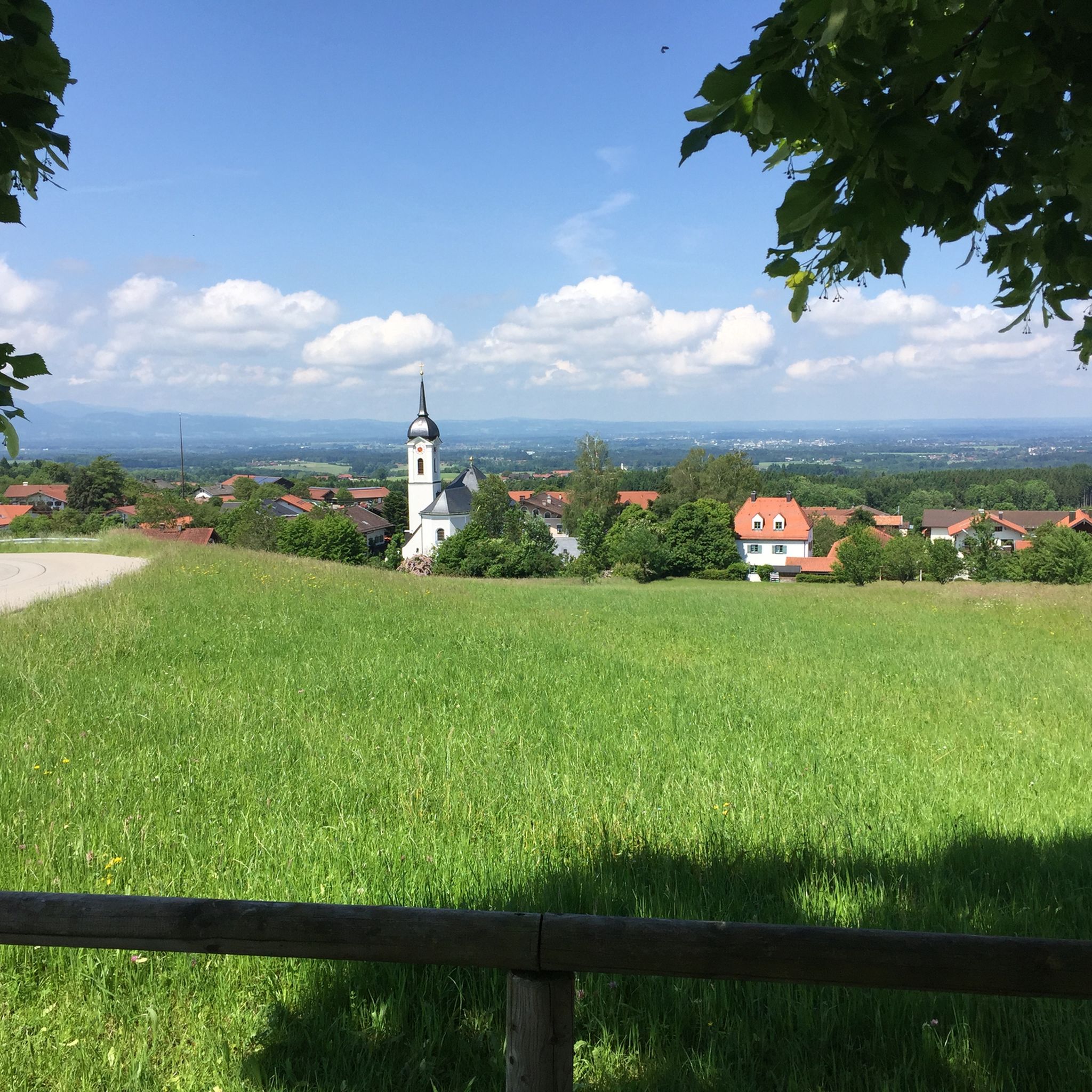
View over Lake Chiemsee and the Chiemgau Alps
Highlight • Viewpoint
Translated by Google •
Tip by

View of Kampenwand
Highlight • Viewpoint
Translated by Google •
Tip by

Sign up now to discover places like this
Get recommendations on the best single tracks, peaks, & plenty of other exciting outdoor places.
Sign up for free
View of Kampenwand
Highlight • Viewpoint
Translated by Google •
Tip by

Kampenwand View
Highlight • Viewpoint
Translated by Google •
Tip by

Start today with a free account
Your next adventure awaits.
Login or Signup
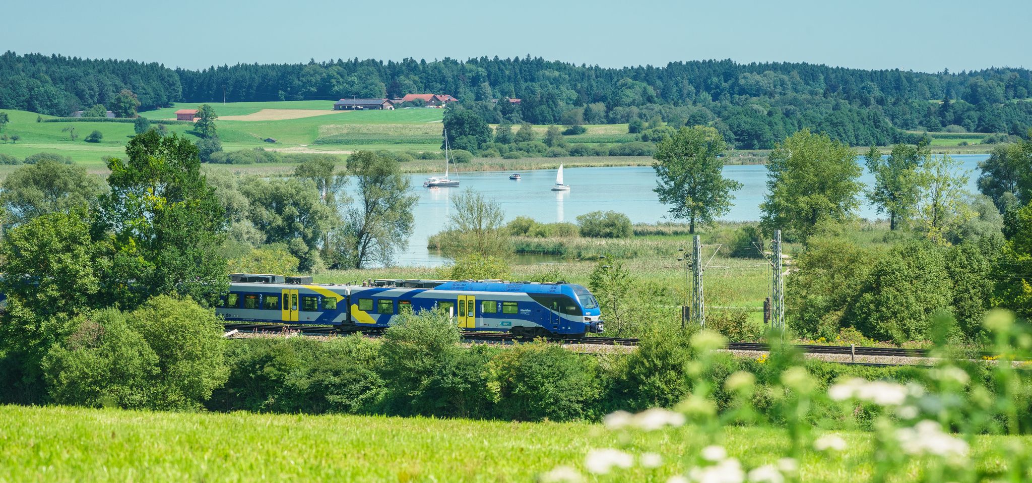
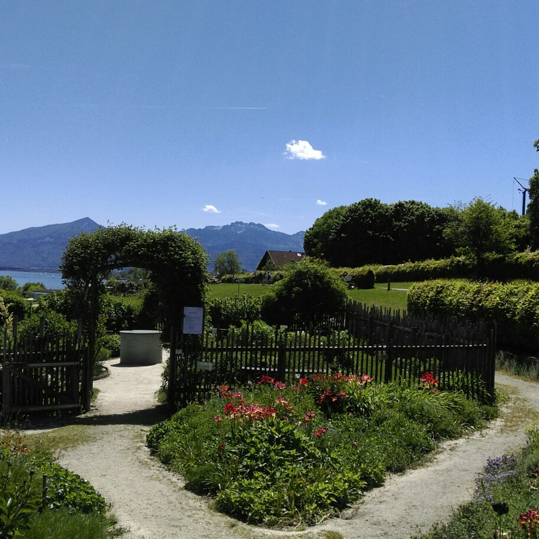
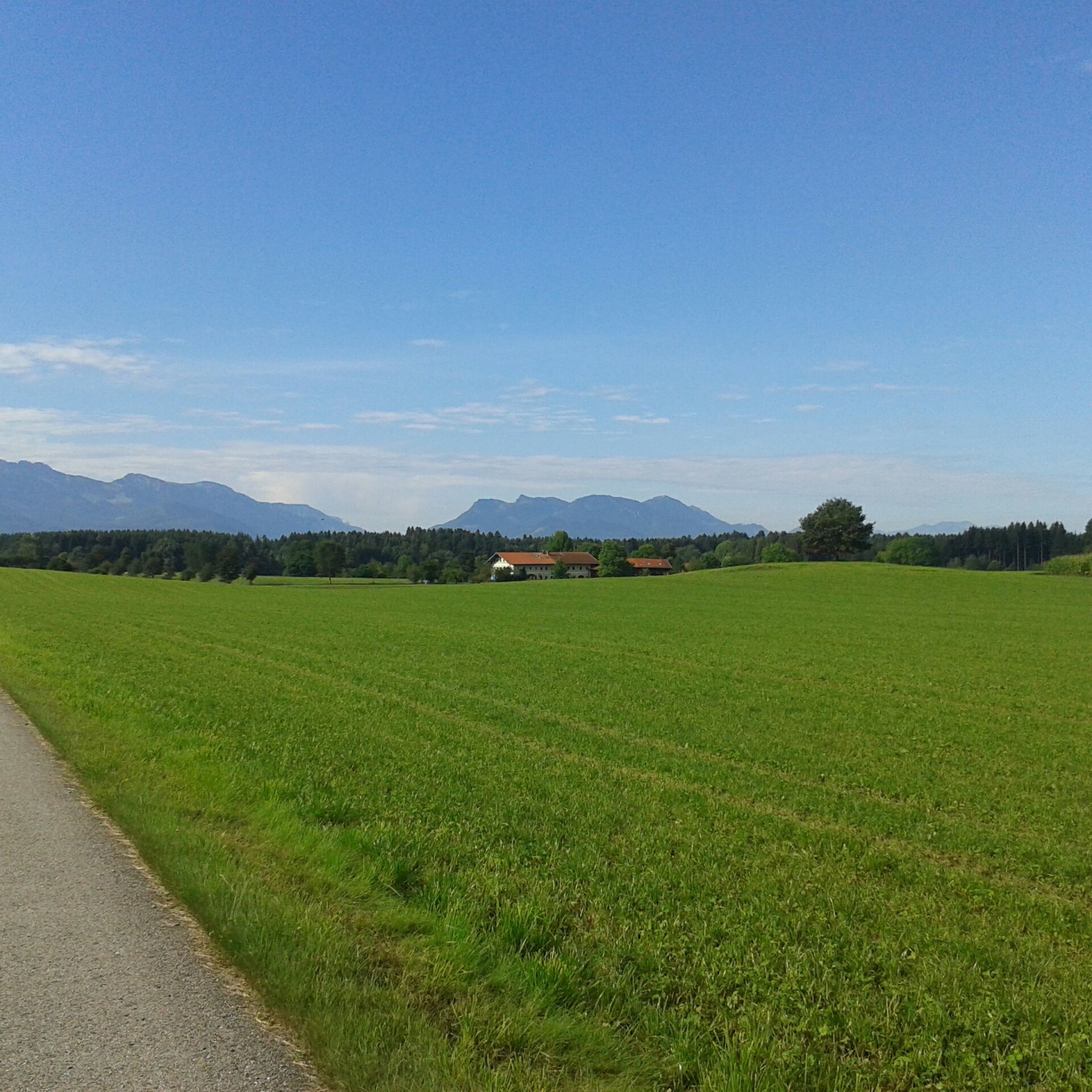
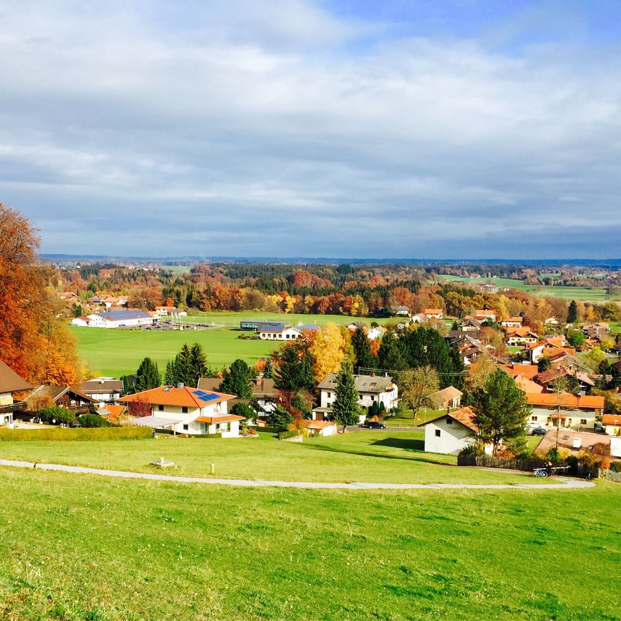

Other adventures around Bad Endorf

Tips from the Community

Nice view towards the Alps
0
0

Part of the Chiemsee cycle path.
0
0


Beautiful route, with a mountain panorama and also through the forest. You also pass a beautiful chapel. Apparently the typical dog walking path.
2
0

Very nice
0
0

Here you have a great view
3
0

The Chiemsee is always beautiful!
3
0
Frequently Asked Questions
What are some of the most popular mountain peaks and viewpoints around Bad Endorf?
While Bad Endorf itself is surrounded by rolling hills, it serves as an excellent base for exploring the Chiemgau mountains. Popular viewpoints include View over Lake Chiemsee and the Chiemgau Alps, offering an Alpine panorama from Inzell to Samerberg, and View of Lake Chiemsee and the Alps from Ratzinger Höhe for extensive views. For more challenging ascents, notable peaks in the wider region include Taubenstein Summit, Hochries Summit, and Kampenwand East Summit, all offering rewarding views.
Are there family-friendly mountain experiences near Bad Endorf?
Yes, several viewpoints and trails are suitable for families. The View over Lake Chiemsee and the Chiemgau Alps and the View of Lake Chiemsee and the Alps from Ratzinger Höhe are both marked as family-friendly. The region also offers many leisurely walks around the lakes and through forests, providing accessible options for all ages.
What kind of challenging mountain climbs can I find in the Chiemgau Alps near Bad Endorf?
For experienced hikers seeking a challenge, the Chiemgau Alps offer several demanding routes. The Hochries summit loop from Frasdorf is a hard mountaineering route, spanning about 20.3 km with a significant elevation gain of 980 meters. Similarly, the Kampenwand East Summit, near Bernau am Chiemsee, offers a hard 20 km mountaineering route with fantastic views of Lake Chiemsee and the surrounding Alps.
What natural features can I expect to see when exploring the peaks around Bad Endorf?
The region is renowned for its unspoiled nature. You'll encounter breathtaking panoramic views of Lake Chiemsee, the Simssee, and the wider Alpine landscape from many mountain points. The area also features diverse forests, meadows, and moorlands, including Bavaria's oldest nature reserve, the Eggstätter-Hemhofer Seenplatte, and the Heubergmoos nature reserve.
Are there any historical sites or landmarks on the mountain peaks near Bad Endorf?
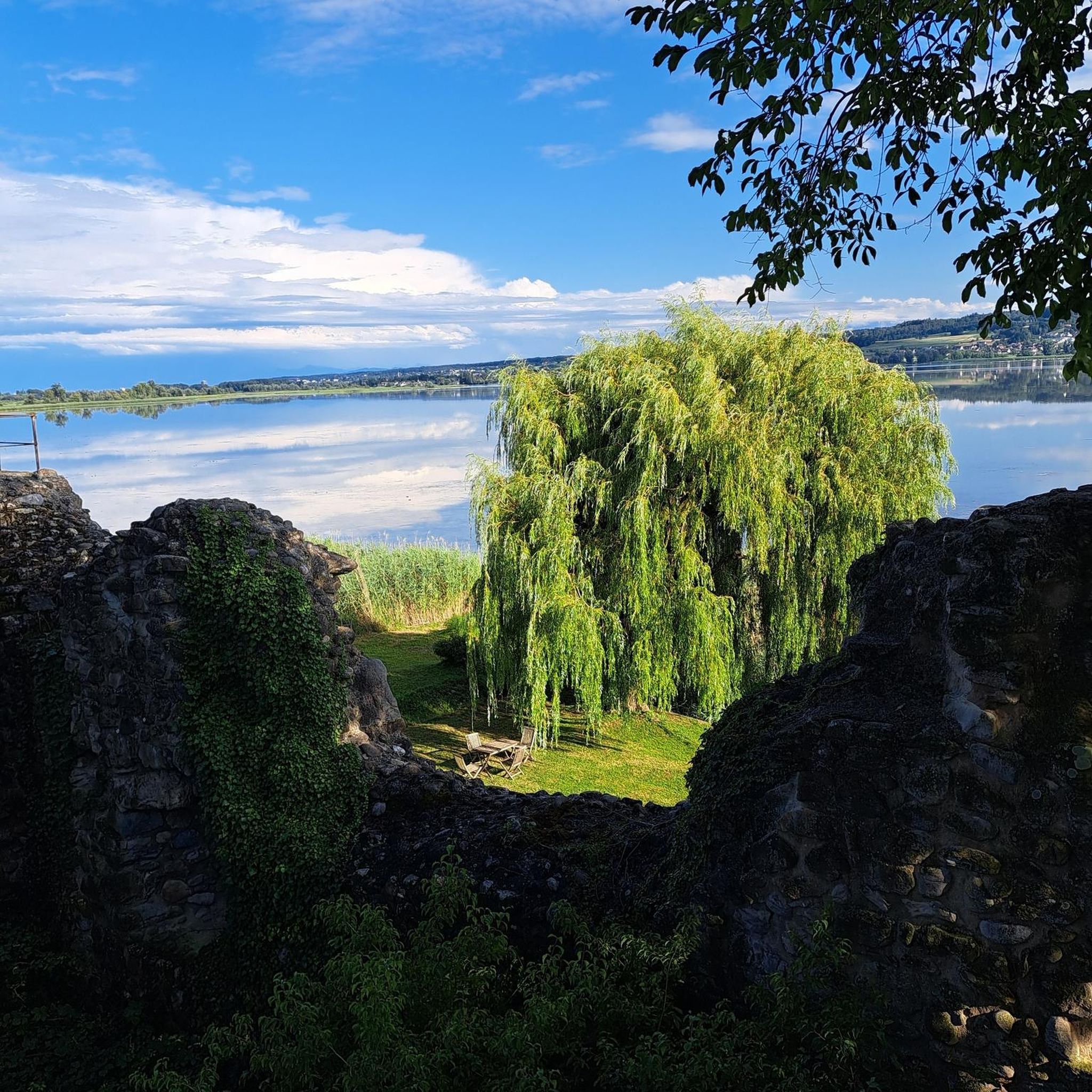
Yes, you can find historical sites even at higher elevations. For example, the Speckerturm Ruins, a former castle complex, offers a glimpse into the region's past and provides a viewpoint amidst the forest. The Laubenstein area also features the Keyhole Cave on its western flank, adding a natural historical element.
What is the best time of year to hike the mountain peaks around Bad Endorf?
The Chiemgau region is beautiful year-round, but the best time for hiking the mountain peaks is typically from late spring to early autumn (May to October). During these months, the weather is generally milder, trails are clear of snow, and the panoramic views are at their most vibrant. Always check local weather forecasts before heading out, especially for higher elevations.
What outdoor activities can I do near the mountain peaks around Bad Endorf?
Beyond hiking, the area offers a variety of outdoor activities. You can explore numerous cycling routes, including gravel biking and road cycling. For example, there are many routes for gravel biking around Bad Endorf, such as the Simssee Lakeside Trail. Mountain biking is also popular, with trails like the Simssee Observation Tower loop available in the MTB Trails around Bad Endorf guide.
Are there any circular mountain walks available near Bad Endorf?
Yes, the region offers several circular routes. For instance, the Taubenstein Summit area provides moderate mountaineering routes, with a loop from Frasdorf covering approximately 12.2 km. The Hochries summit loop from Frasdorf is another option for a more challenging circular experience. Many trails around the lakes also offer pleasant circular walks with views of the distant mountains.
What do visitors enjoy most about the mountain peaks and viewpoints in this region?
Visitors consistently praise the breathtaking panoramic views, especially those overlooking Lake Chiemsee and the Alps. Many highlight the serenity and unspoiled nature of the Chiemgau region. The diverse hiking trails, catering to various fitness levels, are also a major draw, with many appreciating the well-signposted paths and the rewarding experience of reaching a summit or viewpoint.
Can I bring my dog on the hiking trails around Bad Endorf's mountain peaks?
Generally, dogs are welcome on most hiking trails in the Chiemgau region. However, it's always advisable to keep them on a leash, especially in nature reserves, near livestock, or in crowded areas. Be sure to carry water for your dog and clean up after them. Specific rules might apply to certain protected areas, so check local signage.
Where can I find a good view of the Kampenwand mountain?
The View of Kampenwand is a highly recommended viewpoint that provides a beautiful panorama from Lake Chiemsee, with the Kampenwand and other peaks clearly visible. This iconic mountain is often visible from various points around Lake Chiemsee, offering stunning photographic opportunities.
What is the 'Trail to Laubenstein' like?
The Trail to Laubenstein offers an ascent from Frasdorf through the valley of the Ebnater Achen, leading via the Frasdorfer Hut to the Laubenstein. Another ascent starts from Hohenaschau via the Hofalm. The Laubenstein itself is a hilltop with a flat, grassy summit, and its flanks are wooded. It's part of a karst area with several caves, including the Keyhole Cave on its western side. Be aware that in wet weather, steep sections are recommended for ascent only.
Most popular routes around Bad Endorf
Most popular attractions around Bad Endorf

Get inspired with the komoot mobile app


Explore more
See even more amazing summits around Bad Endorf with these guides:
