The 6 Most Amazing Peaks around El Valle de Cofrentes-Ayora
Best mountain peaks around El Valle de Cofrentes-Ayora are found in a mountainous region in the interior of Valencia, Spain. This area is characterized by rugged terrain and rich biodiversity, offering diverse attractions for nature enthusiasts. The region features several notable peaks that provide expansive panoramic views and opportunities for hiking. Its natural landscape includes extensive pine forests and unique geological formations.
Best mountain peaks around El Valle de Cofrentes-Ayora
- The most popular mountain peaks is Agrás Volcano, a…
Last updated: May 14, 2026
Pico de Caroche
Highlight • Summit
Translated by Google •
Tip by

Agrás Volcano
Highlight • Volcano
Translated by Google •
Tip by

Sign up now to discover places like this
Get recommendations on the best single tracks, peaks, & plenty of other exciting outdoor places.
Sign up for free
Hermitage and Geodetic Vertex of Montemayor
Highlight • Religious Site
Translated by Google •
Tip by

La Hunde picnic area
Highlight • Rest Area
Translated by Google •
Tip by
Montemayor Peak and Santa Cruz Cross
Highlight • Summit
Translated by Google •
Tip by

Alto del Buitre
Highlight • Summit
The highway connects Enguera and Ayora. At this point, you can …
Translated by Google •
Tip by
Start today with a free account
Your next adventure awaits.
Login or Signup
Popular around El Valle de Cofrentes-Ayora
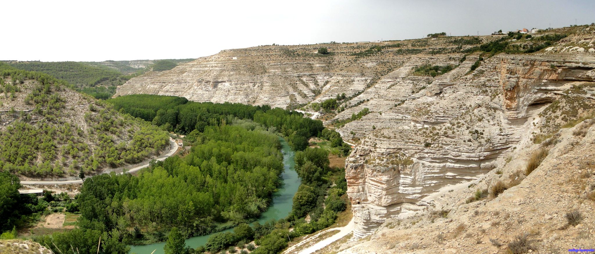
Explore Spain’s Júcar River by bike
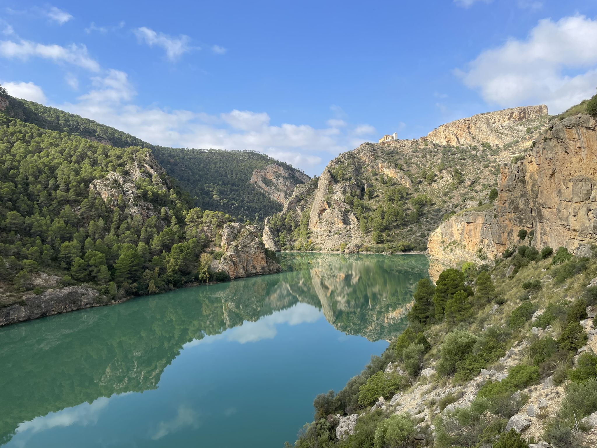
Júcar River gorge – Molinar reservoir and the Boquerón mountain range

Explore the Betic Mountains on two wheels – Altravesur
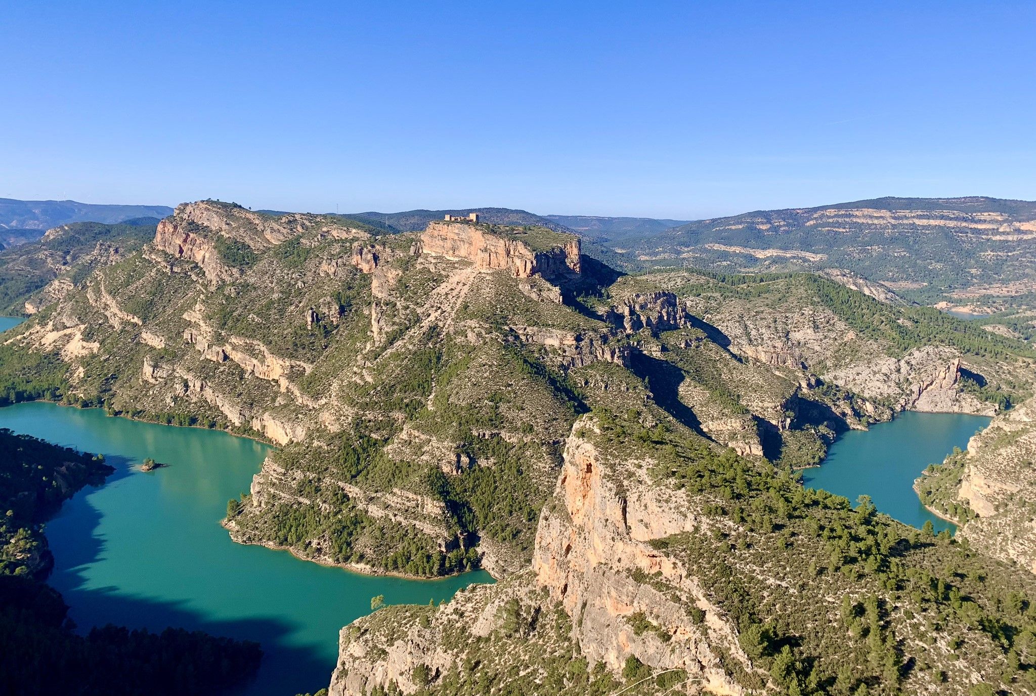
A journey full of discoveries – the Valencia region on foot (GR7)
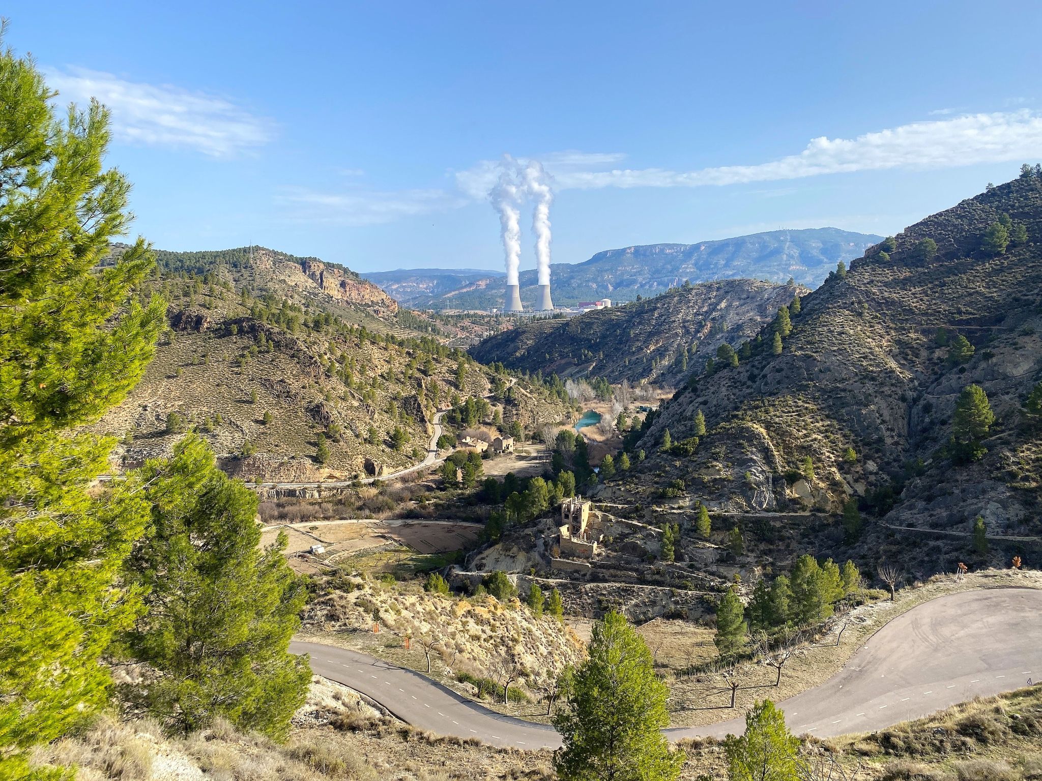
Where water shapes the landscape – Cofrentes and Cortes de Pallás
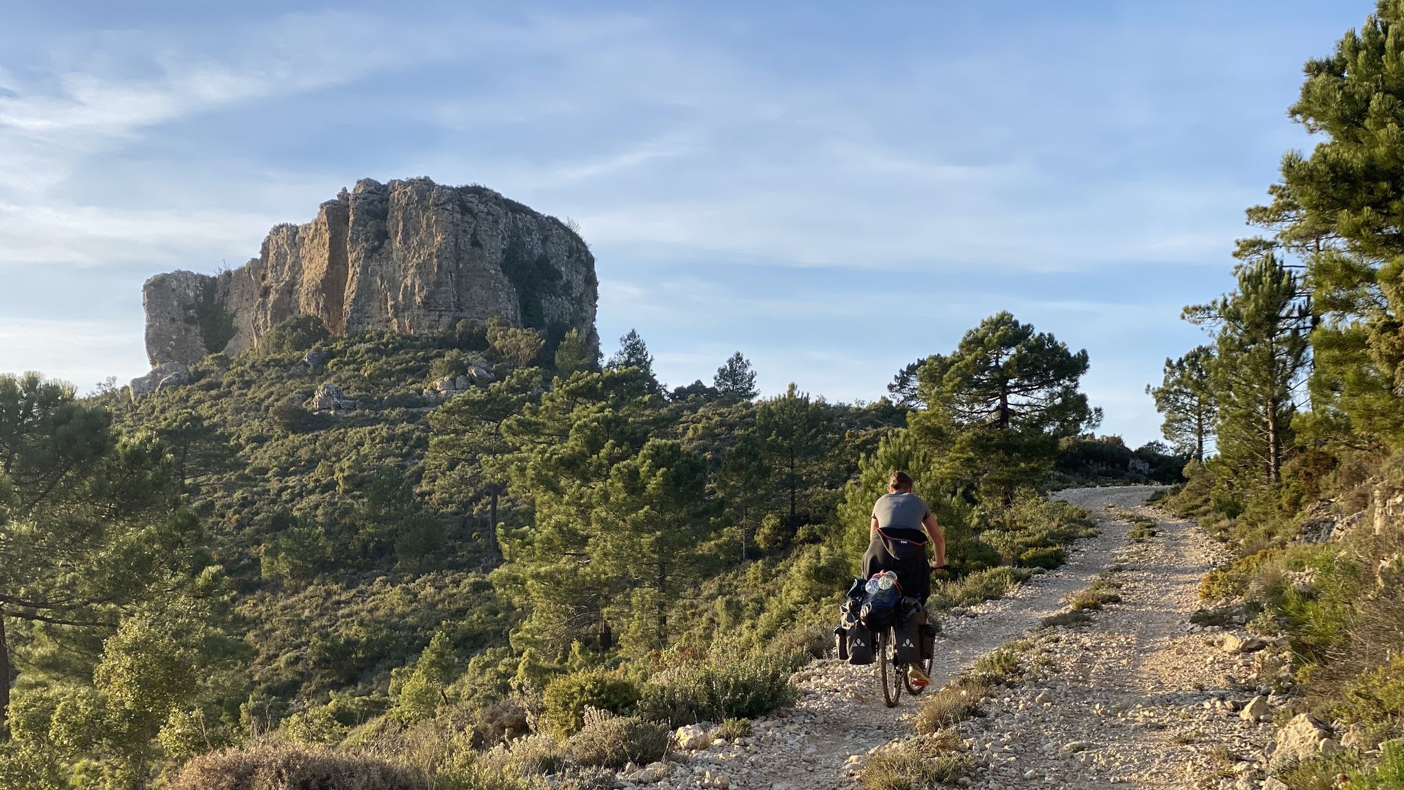
The unknown face of Valencia – Caroig Massif
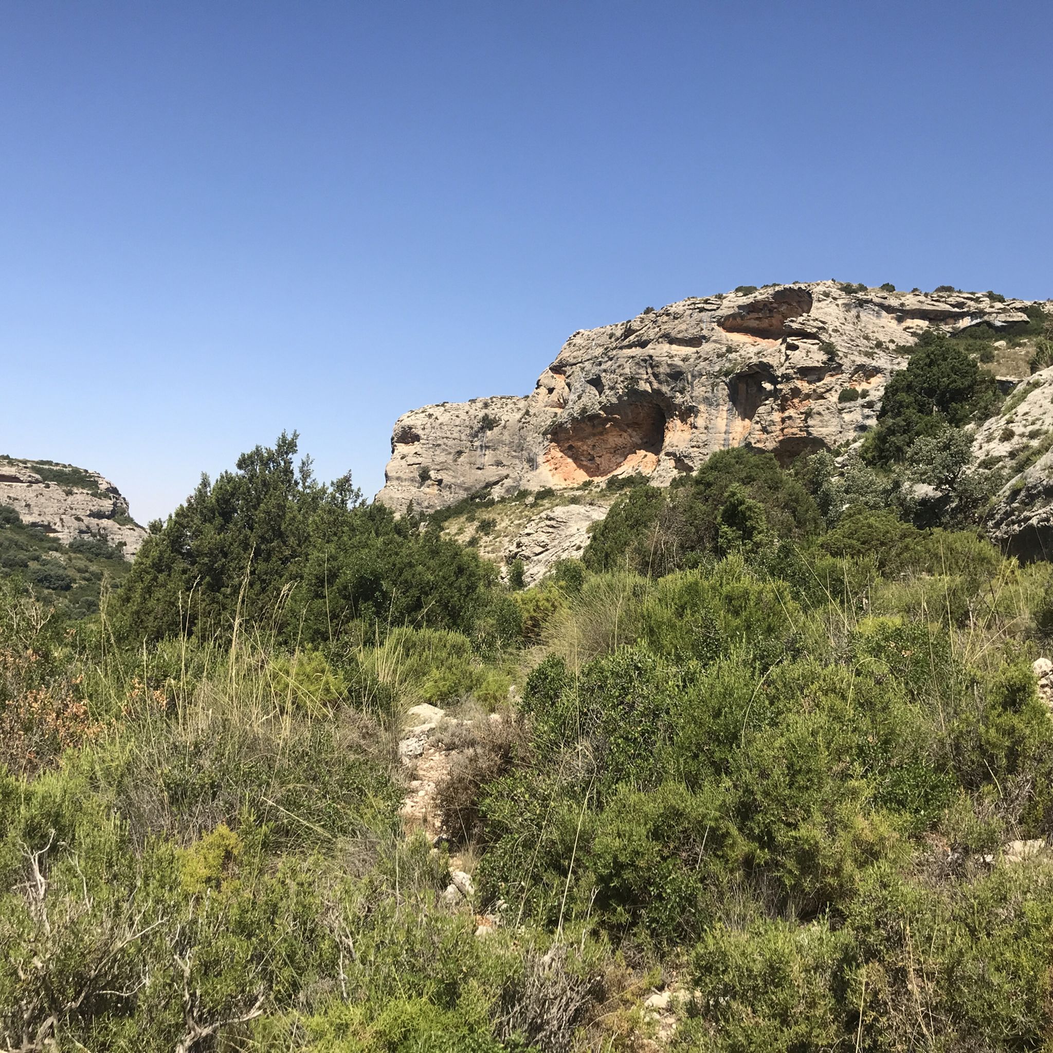
Hiking around El Valle de Cofrentes-Ayora
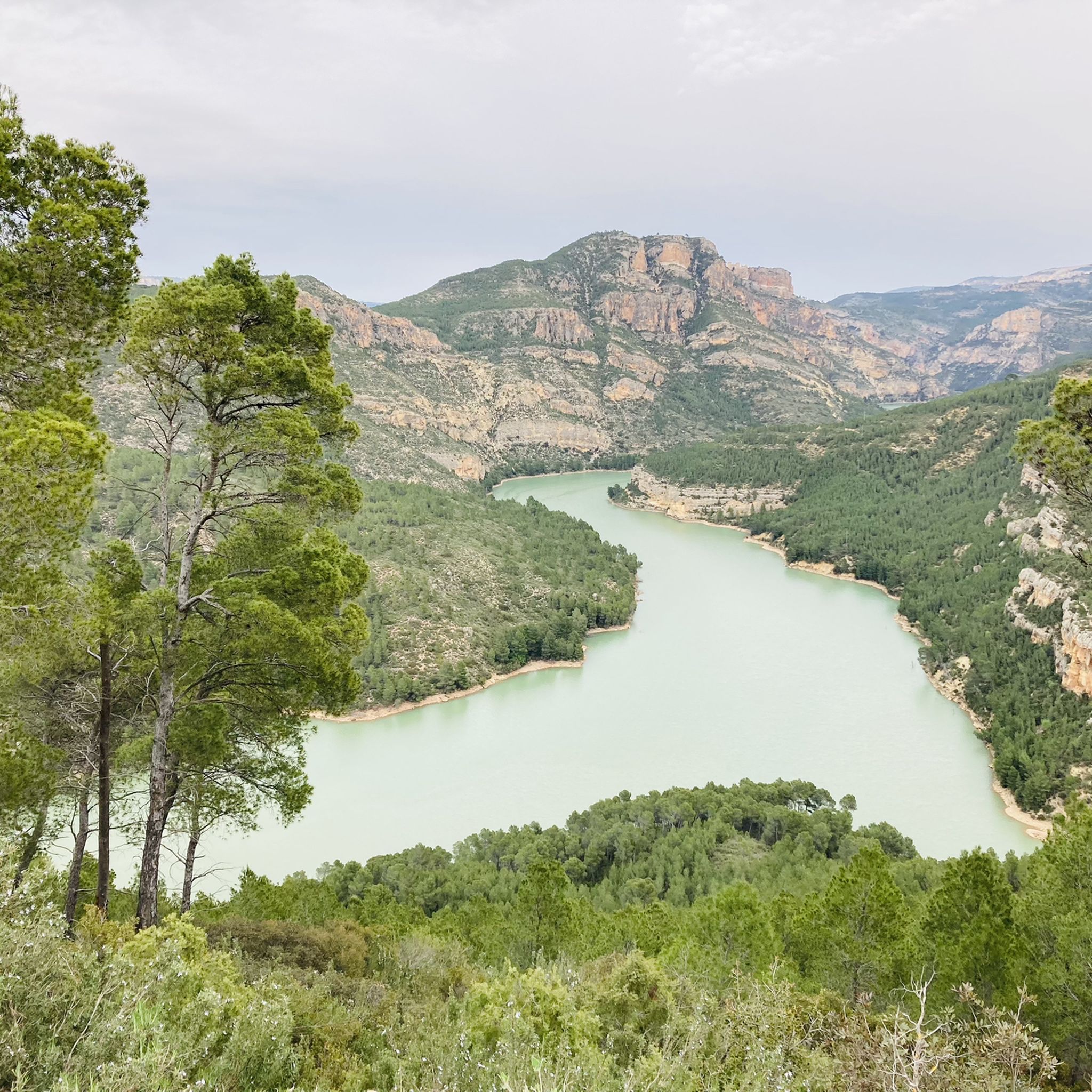
MTB Trails around El Valle de Cofrentes-Ayora
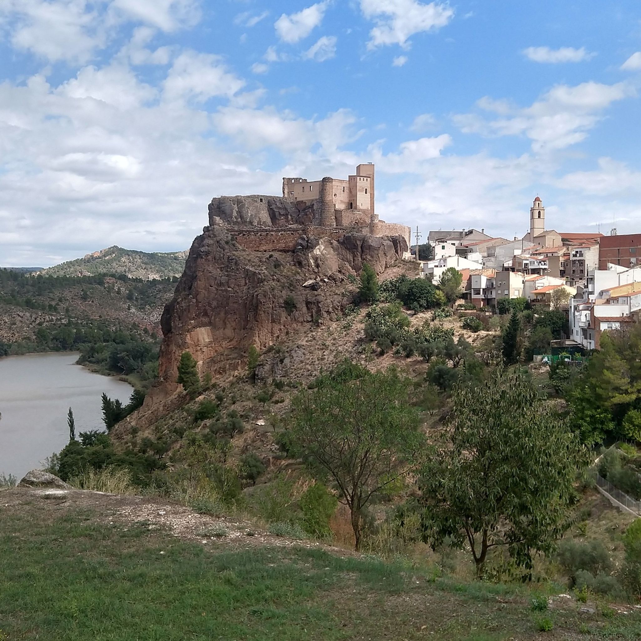
Road Cycling Routes around El Valle de Cofrentes-Ayora
Cycling around El Valle de Cofrentes-Ayora
Other adventures around El Valle de Cofrentes-Ayora


Tips from the Community

Wow how beautiful! And the trip itself is what it's all about. What a beautiful rugged area.
2
0

Caroche or Caroig peak is a 1,126 meter mountain, located in Teresa de Cofrentes. It is located in the massif that receives the same name (Macizo del Caroig), located between the regions of "El valle de Ayora-Cofrentes" and the "Canal de Navarrès" and belonging to the municipality of "Teresa de Cofrentes", bordering the municipal area of Bicorp. It has a height of 1,126 meters above sea level. At its highest point there is a fire surveillance post, from which you can see a large part of the regions of Valencia, seeing the sea and the city of Cullera on the clearest days. On the slopes of this massif small streams grow such as “El Río Fraile” or the famous, among the locals of Teresa, “La Argongeña”. It is sometimes mispronounced "La Longeña". The entire geography is dotted with ravines, caves and very deep crevices, such as those found in the Las Quebradas area...
0
0

The Caroche peak is located 1125 meters above sea level. I invite you to stop along the way and contemplate the privileged views that you get from this point. Here you can find the forestry hut and some information panels about the surrounding mountains.
0
0

View from the hermitage of Montemayor
0
0
In this corner of the Ayora Valley there is a jewel that makes it very special. It is the dormant volcano of Agrás, whose spring waters are used in the Hervideros spa.
2
1

Montemayor is quite elevated and has a small hermitage called Santa Cruz. Along the route to the peak you can enjoy a wide variety of birds.
1
0
It is the highest point in the mountains from where you can even see the Cofrentes nuclear power plant. The highway connects Enguera and Ayora. At this point, you can enter the Sierra de Almansa through the track of the wind farm.
0
0

The history of the Cofrentes volcano (or Agrás volcano) goes back millions of years, as it is estimated that the last eruption took place between 1 and 2.6 million years ago. The fissuring of the Eurasian plate caused the belt of volcanoes in the Gulf of Valencia, of which Cofrentes, Picassent and Columbretes Islands stand out today.
9
1
Frequently Asked Questions
What are some of the most notable mountain peaks to visit in El Valle de Cofrentes-Ayora?
The region offers several impressive peaks. Among them, Pico de Caroche is known for its unspoiled natural environment and expansive panoramic views. Montemayor holds cultural significance with its hermitage and offers stunning views of Ayora village. Pico Palomera, the highest in the region, is part of the La Hunde-Palomera Natural Setting, featuring extensive pine forests and a unique rock arch. Puntal del Conejo is also a great option for diverse outdoor activities.
Are there any dormant volcanoes in the El Valle de Cofrentes-Ayora region?
Yes, the region is home to the Agrás Volcano, which is now dormant. This site is notable for its spring waters and its geological history, with its last eruption estimated to have occurred millions of years ago. Hiking to its crater is a popular activity, though the terrain can be rocky.
What kind of views can I expect from the mountain peaks in El Valle de Cofrentes-Ayora?
Many peaks offer incredible panoramic views. From Pico de Caroche, you can see much of the Valencian districts, and even the city of Cullera and the sea on clear days. Montemayor provides 360-degree views of the Ayora Valley, extending towards Almansa and Alpera. Pico Palomera also rewards hikers with breathtaking vistas of the Sierra de Ayora and the Embarcaderos reservoir.
Are there family-friendly facilities or areas near the mountain peaks?
Yes, the La Hunde picnic area, located within the La Hunde-Palomera Natural Setting near Pico Palomera, is considered family-friendly. It offers picnic tables, barbecue areas, toilets, and a spring. It's a quiet natural setting ideal for resting and enjoying the outdoors.
What wildlife can be spotted around the mountain peaks?
The region is rich in biodiversity. Around Pico Palomera, you might spot royal eagles, griffon vultures, wild boars, and foxes. Montemayor is known for its diverse birdlife, including coal tits, great tits, warblers, treecreepers, solitary rock thrushes, rock martins, peregrine falcons, and majestic royal eagles.
What outdoor activities can I do near these mountain peaks?
Beyond hiking to the peaks themselves, the region offers a variety of outdoor activities. You can find numerous cycling routes, including challenging ones like the Júcar Canyons and Jalance Castle Loop, or the Fuente del Jarral – Ayora loop. For hikers, there are dedicated waterfall hikes like the Corbinet Waterfalls Trail, and general hiking routes such as The Castle of Chirel (PR-CV 382) or Los Canyones del Jucar. You can explore more options in the cycling guide, waterfall hikes guide, and general hiking guide for the area.
Are there any cultural or historical sites associated with the mountain peaks?
Yes, Montemayor is culturally significant due to a long-standing pilgrimage tradition to the Santa Cruz hermitage located at its summit, especially on May 3rd. The area around Pico Palomera also features a peculiar natural rock arch, which some speculate may have been an ancient Iberian sanctuary.
What are the hiking conditions like for the mountain peaks in El Valle de Cofrentes-Ayora?
Hiking conditions vary by peak. For Pico de Caroche, the ascent to the top involves steep slopes. The route to Montemayor can have loose rocks and roots, so wearing boots instead of sneakers is advisable. The ascent to Pico Palomera is moderately challenging with steep sections. The Agrás Volcano crater can also be very rocky and loose underfoot.
What makes Pico Palomera a unique destination?
Pico Palomera, the highest peak in the region, is located within the La Hunde-Palomera Natural Setting. This area is known for its extensive pine forests, camping facilities, and a distinctive circular pond. The peak itself features a geodetic vertex and a forest surveillance point, and along the hiking route, you can discover a peculiar natural rock arch.
What do visitors appreciate most about the mountain peaks in El Valle de Cofrentes-Ayora?
Visitors frequently highlight the incredible panoramic views from summits like Pico de Caroche and Montemayor, noting that the physical effort to reach the top is well rewarded. The unspoiled natural environment and rich biodiversity, particularly around Pico Caroche, are also highly valued. Many enjoy the sense of immersion in the mountainous landscape and the diverse hiking opportunities.
Is Puntal del Conejo suitable for activities other than hiking?
Yes, Puntal del Conejo is part of a multi-use trail network and is suitable for hiking, mountain biking, and e-biking. It offers a moderate physical challenge with a clear and easy-to-follow doubletrack trail, making it a versatile option for various outdoor enthusiasts.
Most popular routes around El Valle de Cofrentes-Ayora
Most popular attractions around El Valle de Cofrentes-Ayora

Get inspired with the komoot mobile app


Didn’t find what you were looking for?
Discover El Valle de Cofrentes-Ayora’s best peaks and summits by region:
Explore more
See even more amazing summits around El Valle de Cofrentes-Ayora with these guides:
