The 5 Most Amazing Peaks around Almuñécar
Best mountain peaks around Almuñécar offer access to a mountainous hinterland, primarily the Sierras de Tejada, Almijara, and Alhama Natural Park. This region features dramatic landscapes, diverse flora, and numerous opportunities for outdoor activities. The area is characterized by its white and grey dolomitic limestone terrain, forming a natural border between the provinces of Granada and Malaga. Visitors can explore rugged rocky outcrops, sharp ridges, and steep slopes, providing a contrast to the coastal environment.
Best mountain peaks around Almuñécar
…Last updated: July 18, 2026
Pico del Cielo Summit
Highlight • Summit
Translated by Google •
Tip by

Tajo de los Bueyes Viewpoint
Highlight • Viewpoint
Translated by Google •
Tip by

Sign up now to discover places like this
Get recommendations on the best single tracks, peaks, & plenty of other exciting outdoor places.
Sign up for free
Cerro Lopera
Highlight • Summit
Translated by Google •
Tip by

Piedra Sillada Peak
Highlight • Summit
Translated by Google •
Tip by

Pico Lopera
Highlight • Summit
Translated by Google •
Tip by

Sign up for free to discover even more peaks around Almuñécar.
Sign up for free
Already have an account?
Start today with a free account
Your next adventure awaits.
Login or Signup
Popular around Almuñécar

Triathlon 360 – my journey around the world

La Vuelta 26 — All Official Stages
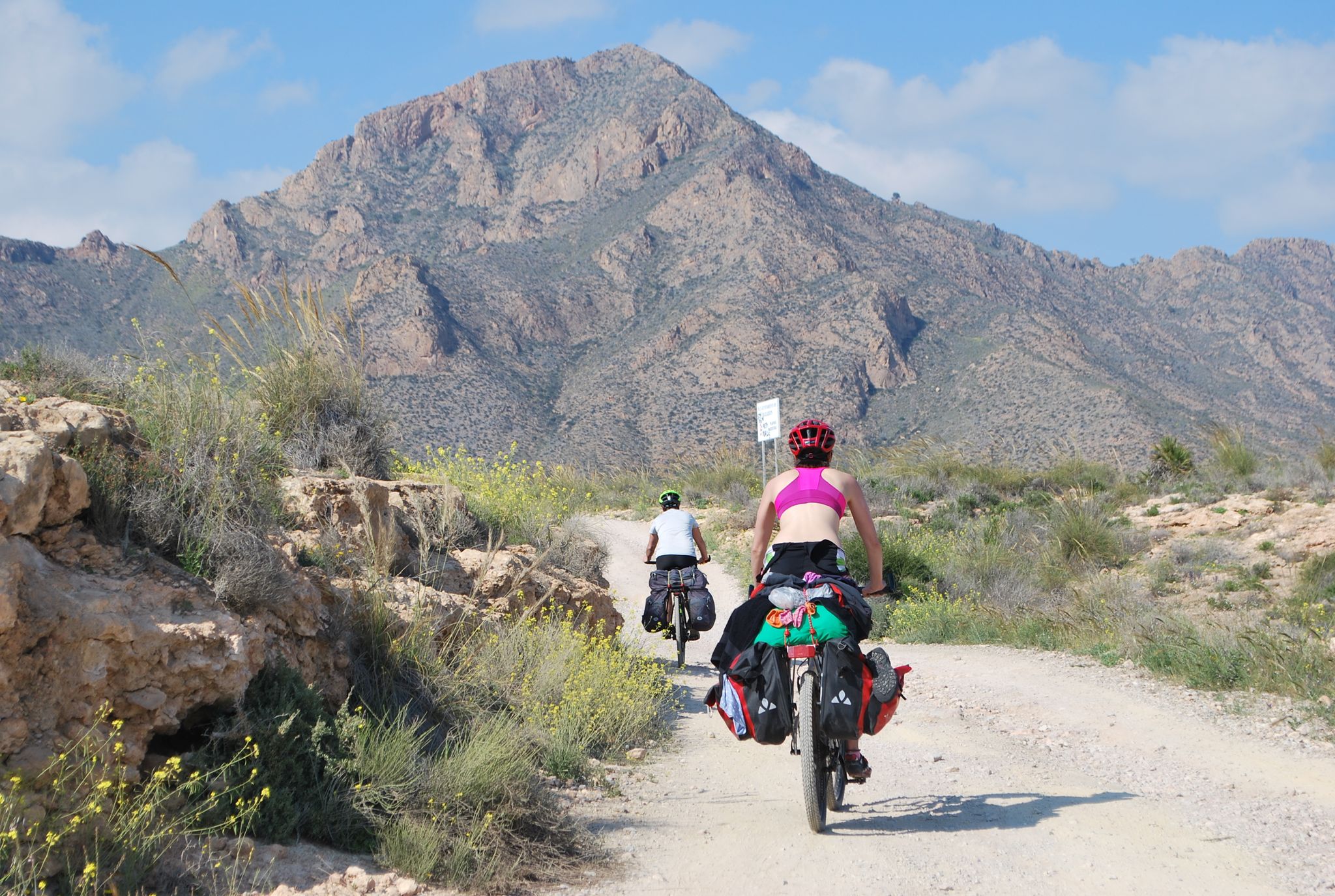
Mediterranean coastal paradise – EuroVelo 8 in Spain
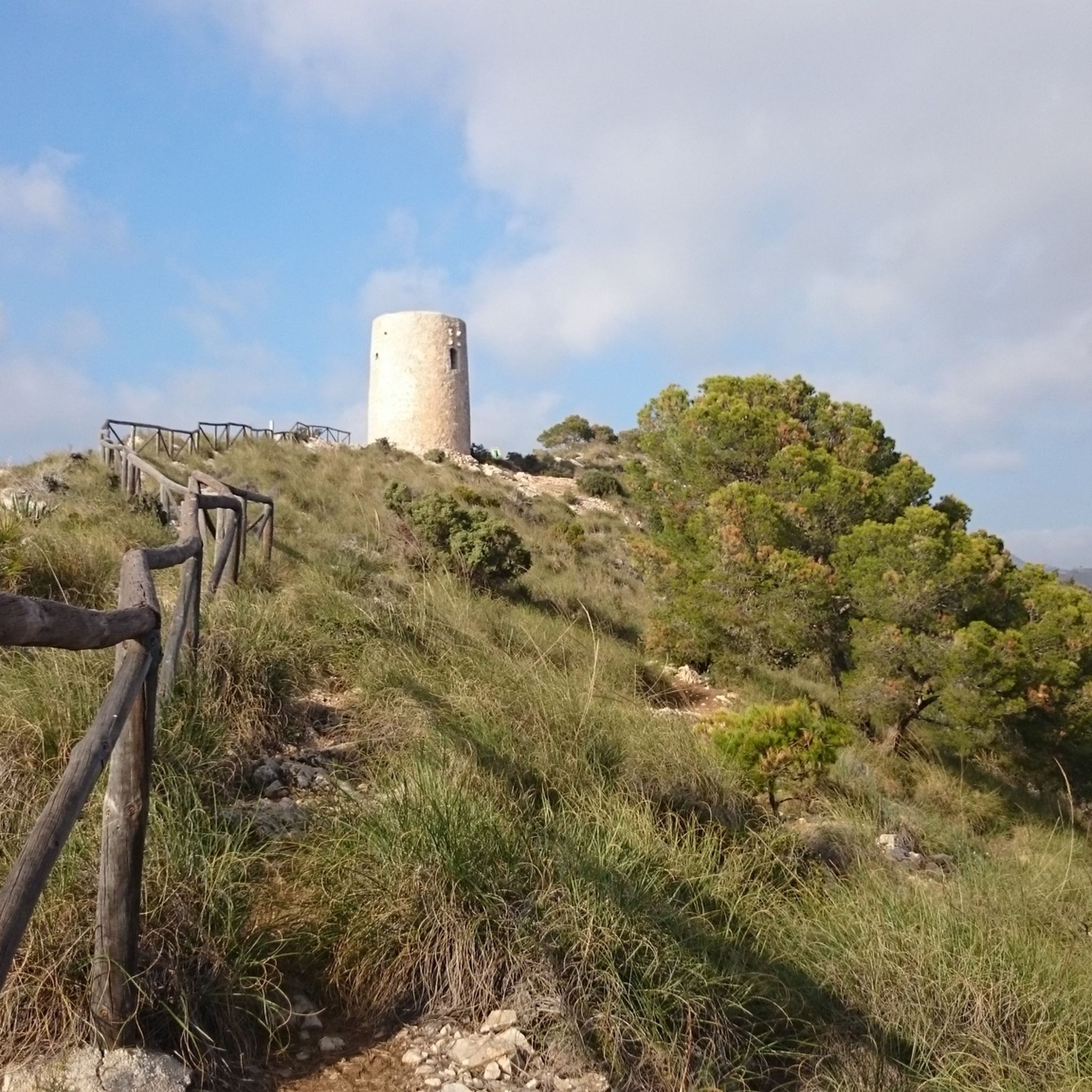
Hiking around Almuñécar
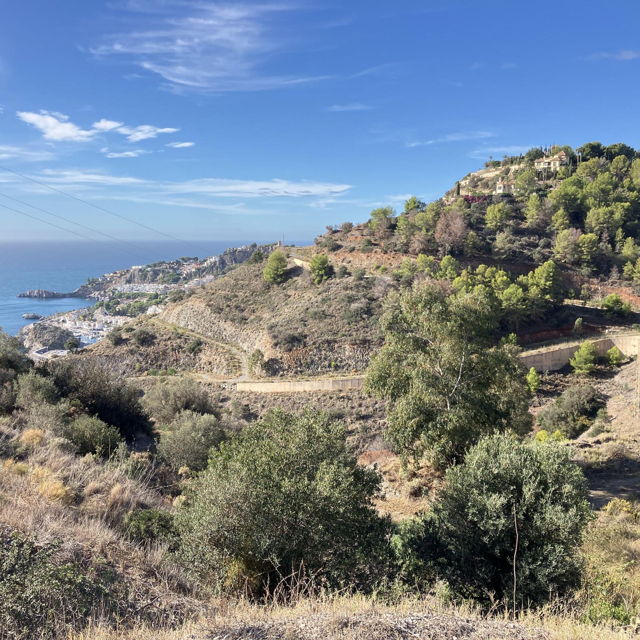
Road Cycling Routes around Almuñécar
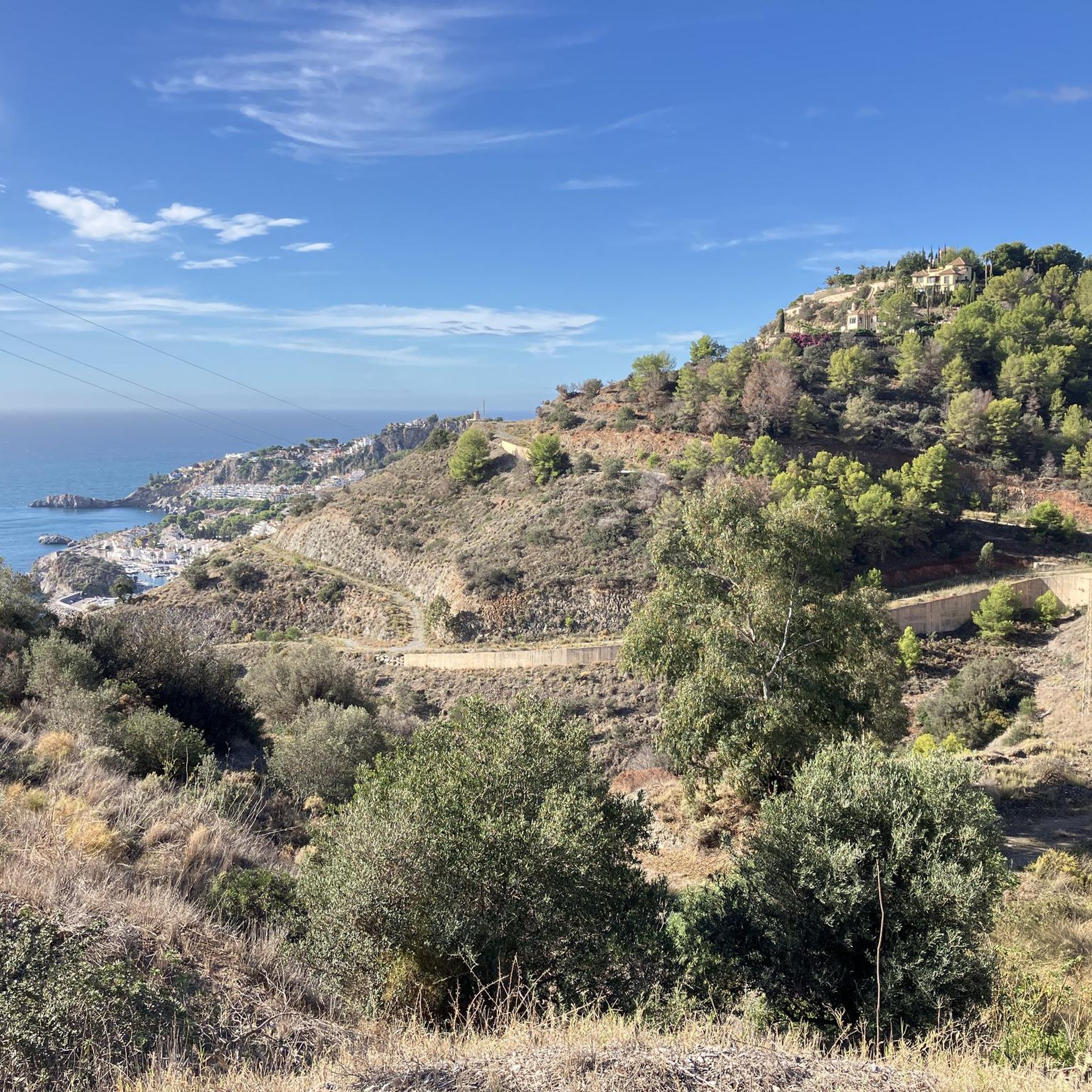
Cycling around Almuñécar
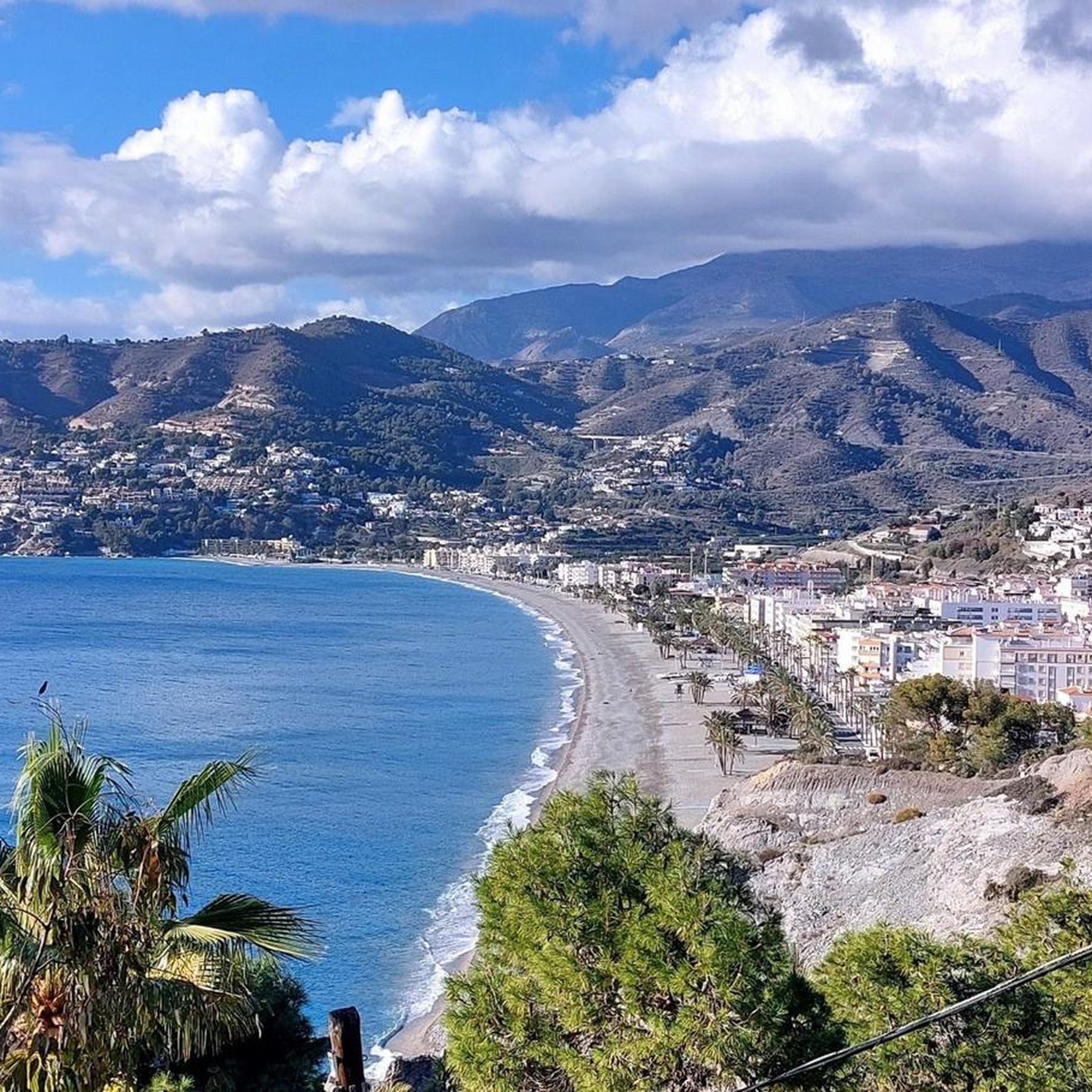
Running Trails around Almuñécar
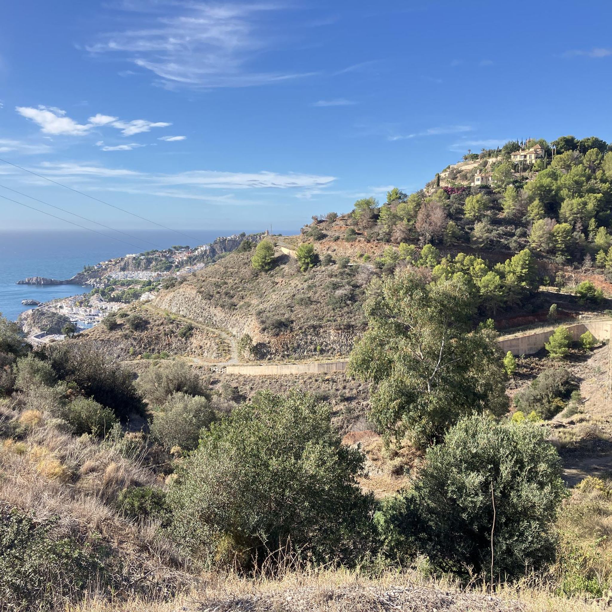
MTB Trails around Almuñécar

Gravel biking around Almuñécar


Tips from the Community

Tip: Take a jacket with you as the summit is often in fog. The weather can change quickly.
0
0

A mountain in the Sierra Almijara that, from a distance, looks like an armchair with its two peaks, hence the name.
1
0

Pico del Cielo is an impressive peak located in the Sierras de Tejeda, Almijara, and Alhama Natural Park, near Nerja. The route is approximately 20 km (round trip) and can take between 6 and 7 hours to complete. It's a challenging hike in terms of endurance, but technically easy.
1
1
A fantastic natural viewpoint with views towards the sea, the Tajo de los Bueyes and all the way to Pico Tejeda (La Maroma)
0
0

Ascent somewhat steep but with good development you can climb, if you go with luggage you may have to push the last meters.
0
0

A summit cross decorated with mirrors. Perfect for a summit selfie :)
2
1
You view and the landscape are a dream. The ascent to the summit cross is worth it!
1
0

To get to the cross of the pico del cielo or well known as cuesta del cielo we can do it from the pinarillo area of Nerja or from the Castillejos road.
3
2
Frequently Asked Questions
What are some popular mountain peaks to visit near Almuñécar?
The region around Almuñécar offers several notable mountain peaks. Among the most popular are Tajo de los Bueyes Viewpoint, which provides a beautiful vantage point on a lonely trail, and Pico del Cielo Summit, known for its challenging ascent and wonderful views of the Axarquía and Nerja coast. Another favored spot is Cerro Lopera, offering fabulous views after a scenic climb.
What kind of terrain can I expect when hiking in the Sierra de Almijara?
The Sierra de Almijara, directly visible from Almuñécar's coast, is characterized by its white and grey dolomitic limestone terrain. You can expect amazing ravines, rugged rocky outcrops, sharp ridges, and steep slopes. The action of water on the limestone has created a labyrinth of fissures, cracks, and cavities, including poljes, offering a unique and dramatic landscape.
Are there challenging mountain climbs in the Almuñécar region?
Yes, the Almuñécar region offers several challenging climbs. Pico del Cielo Summit is known for its demanding and technical sections, rewarding hikers with expansive views. La Maroma, the highest peak in the Sierra de Tejada, also offers challenging hikes for experienced adventurers seeking panoramic vistas of the surrounding mountains and the Mediterranean Sea.
What natural features can I discover in the Sierra de Almijara?
In the Sierra de Almijara, you can discover a variety of natural features. Beyond its distinctive dolomitic limestone terrain, the park is home to diverse vegetation, including gall oaks, oaks, cushion scrub, and the scarce Andalusian yew at higher altitudes. The landscape is sculpted with amazing ravines, rugged rocky outcrops, and a network of fissures and cavities formed by water erosion.
What is the best time of year to hike the mountain peaks around Almuñécar?
The mountain peaks around Almuñécar offer a cool escape from the coastal heat. While specific seasonal conditions vary, generally, spring and autumn provide the most pleasant temperatures for hiking. Winter can offer unique experiences, but higher altitudes may present colder conditions. Summer can be very hot, making early morning or late afternoon hikes preferable.
Are there family-friendly mountain walks near Almuñécar?
While many peaks offer intermediate to challenging climbs, the region also provides options for less strenuous walks. Areas like Cerro Gordo, part of the Parque Natural Acantilados de Maro-Cerro Gordo, offer moderate trails with spectacular coastal views, which can be suitable for families. Always check specific trail details for suitability with children.
Where can I find the best viewpoints in the mountains near Almuñécar?
For breathtaking views, consider visiting Tajo de los Bueyes Viewpoint, which offers a very nice vantage point over the Mediterranean landscape. Pico del Cielo Summit provides wonderful panoramic views of the Axarquía and the Nerja coast. Additionally, the Mirador de Cerro Gordo offers excellent coastal views, and reaching the summit of La Maroma provides expansive vistas of the mountains and the sea, including the coast of Africa on clear days.
What outdoor activities can I do near these mountain peaks?
Beyond hiking and climbing the peaks, the mountainous hinterland around Almuñécar offers diverse outdoor activities. You can explore road cycling routes like the 'Cliffs of Maro-Cerro Gordo' or 'Carretera de la Cabra' loops. There are also touring bicycle routes such as the 'View of the Maro Aqueduct – La Herradura Beach loop' and various MTB trails, including the 'Captain's Cave Tunnel – Azud de Vélez loop'. You can find more details on these activities in the Road Cycling Routes around Almuñécar, Cycling around Almuñécar, and MTB Trails around Almuñécar guides.
What is special about La Maroma peak?
La Maroma, standing at 2,068 meters, is the highest peak in the Sierra de Tejada and the highest mountain in the Axarquía region. It is a significant draw for experienced hikers due to its challenging ascent. Reaching its summit offers truly expansive panoramic views of the surrounding mountains, the Mediterranean Sea, and on clear days, even the coast of Africa.
What do visitors enjoy most about the mountain peaks around Almuñécar?
Visitors frequently highlight the stunning views and the sense of escape from civilization. For instance, Tajo de los Bueyes Viewpoint is praised for its beautiful landscape and the rewarding ascent to its summit cross. The challenging yet rewarding climbs, like that to Pico del Cielo Summit, are also highly valued for the wonderful vistas they provide.
Are there any specific peaks known for their unique geological formations?
Yes, the Sierra de Almijara, which includes peaks like El Lucero, Malas Camas, and Piedra Sellada, is particularly known for its unique geological formations. Its dolomitic limestone terrain has been sculpted by water over time, creating a labyrinth of fissures, cracks, cavities, and even poljes. Piedra Sillada Peak, for example, is notable for its distinctive shape that resembles an armchair.
What is the significance of Cerro Gordo near Almuñécar?
Cerro Gordo, while not a towering peak, is a prominent coastal headland near La Herradura and part of the Parque Natural Acantilados de Maro-Cerro Gordo. It is significant for its dramatic cliffs, secluded coves, and rich marine life. It offers moderate hiking trails with spectacular views of the rocky coastline and the Mediterranean Sea, historic watchtowers, and opportunities for birdwatching or enjoying hidden beaches like Cantarriján.
Most popular routes around Almuñécar
Most popular attractions around Almuñécar

Get inspired with the komoot mobile app


Explore more
See even more amazing summits around Almuñécar with these guides:
