Top 6 Caves around Órgiva
Best caves around Órgiva are found in the Alpujarra region of Granada province, an area characterized by its mountainous terrain and natural formations. The landscape features deep ravines, karstic areas, and hills that have historically provided shelter and resources. This region offers a mix of natural caves, historical sites, and former mining areas. The geological features include limestone formations and areas where mineral extraction once occurred.
Best caves around Órgiva
- The most popular caves is Cerro del Toro Mines, a historical site that consists of old, closed mines. These mines once housed an underground lagoon and precipitous passageways.
- Another must-see spot is Picnic Area at Tajo de las Cuevas, a facilities area. This location is a large hole in the mountain used as a picnic area, offering shelter.
- Visitors also love Pico del Águila, a summit with a cave and historical significance. This peak provides 360° panoramic views and is a significant vantage point.
- Órgiva is known for natural caves, historical sites, and former mining areas. Visitors can explore a variety of caves, from those used as corrals to those housing wildlife or offering panoramic views.
- The caves around Órgiva are appreciated by the komoot community, with 11 upvotes and 2 photos shared by users.
Last updated: July 31, 2026
Cerro del Toro Mines
Highlight • Historical Site
Translated by Google •
Tip by

Picnic Area at Tajo de las Cuevas
Highlight • Rest Area
Translated by Google •
Tip by

Sign up now to discover places like this
Get recommendations on the best single tracks, peaks, & plenty of other exciting outdoor places.
Sign up for free
Pico del Águila
Highlight • Summit
Translated by Google •
Tip by
Olías Caves
Highlight • Cave
Translated by Google •
Tip by
Cave of the Doves
Highlight • Cave
Translated by Google •
Tip by
Sign up for free to discover even more caves around Órgiva.
Sign up for free
Already have an account?
Start today with a free account
Your next adventure awaits.
Login or Signup
Popular around Órgiva

On the road to the sun — bikepacking to southeast Spain
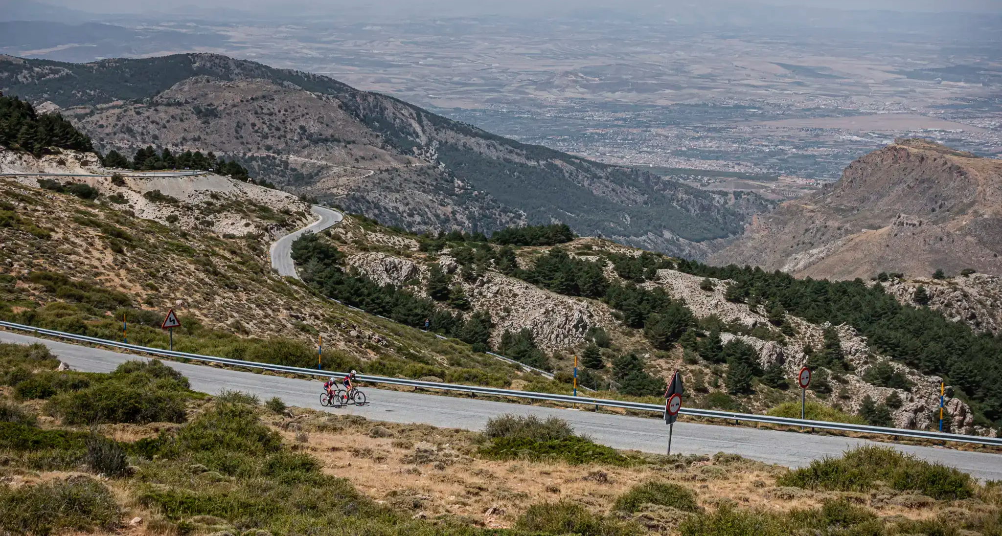
The challenge of the south - Routes through Sierra Nevada
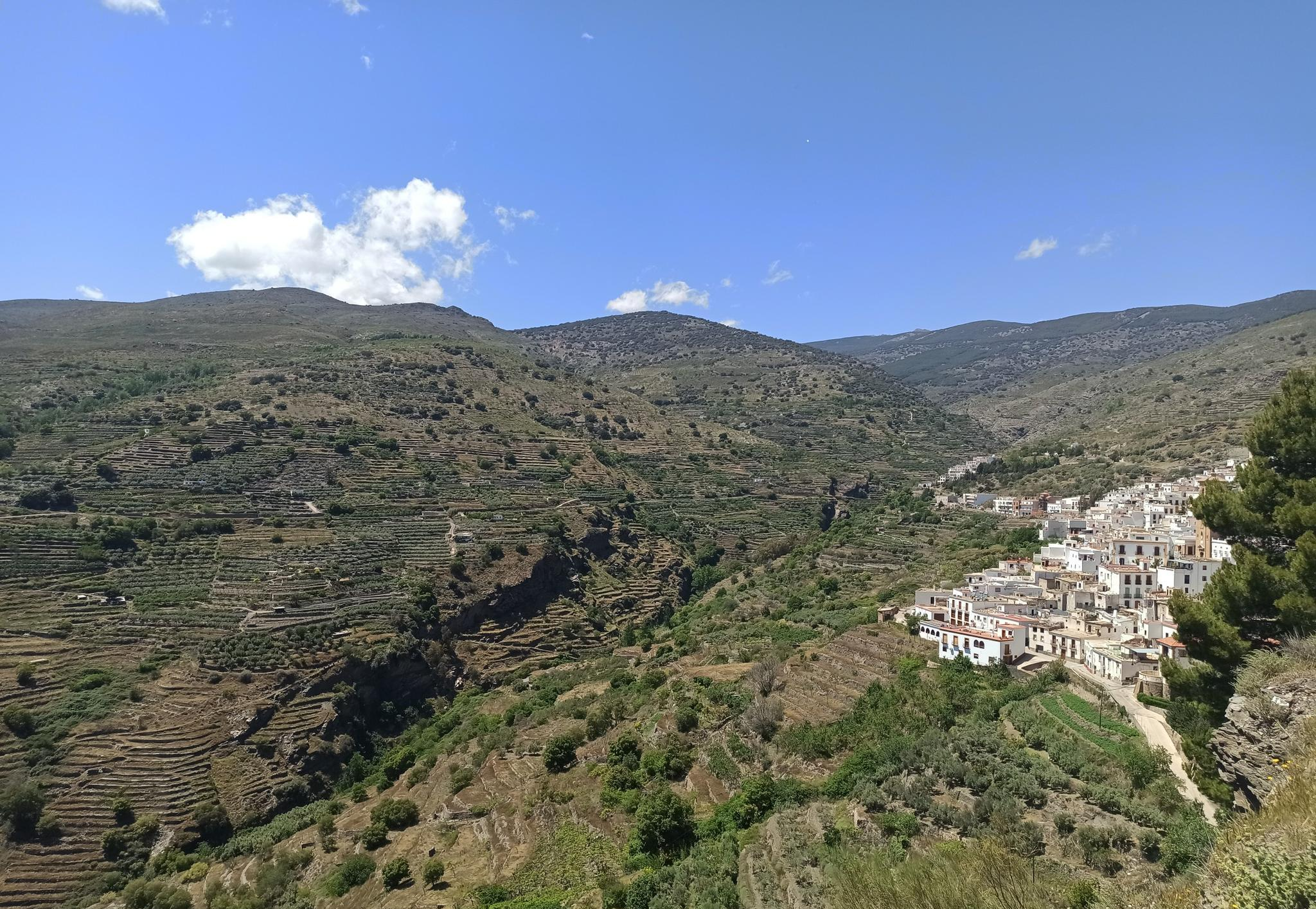
Among white villages - Path of the Alpujarra (GR 142)
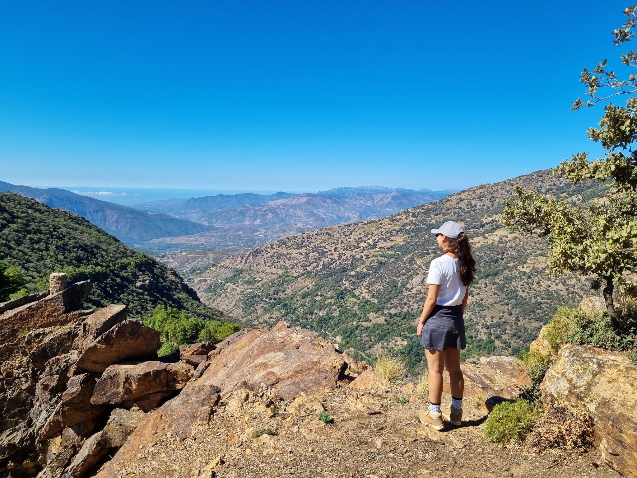
Lanjarón to Trevélez – five days in the Alpujarra of Granada
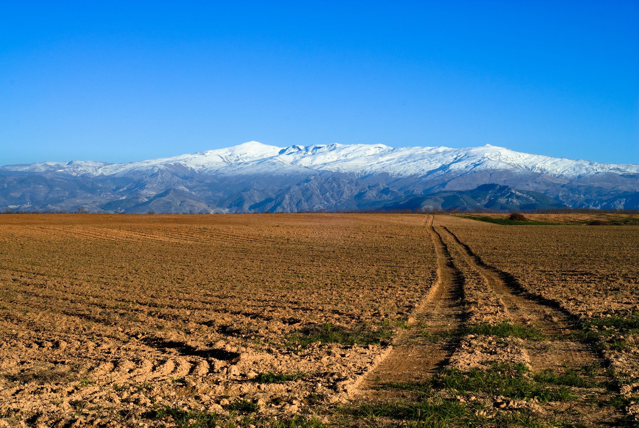
From the Alcazaba to the Alcazar – an Andalusian Adventure
Hiking around Órgiva
MTB Trails around Órgiva
Cycling around Órgiva
Road Cycling Routes around Órgiva

Gravel biking around Órgiva
Other adventures around Órgiva


Tips from the Community


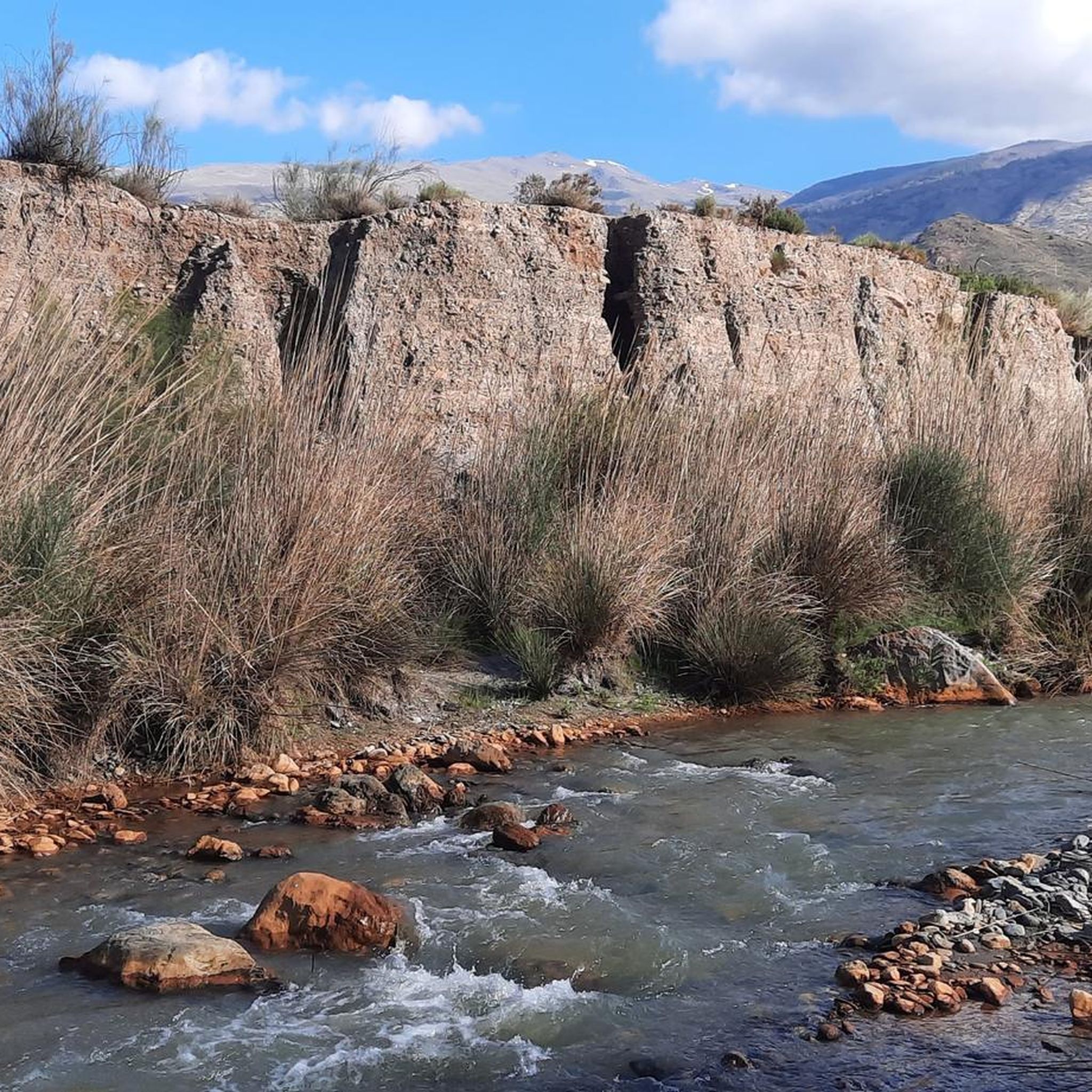
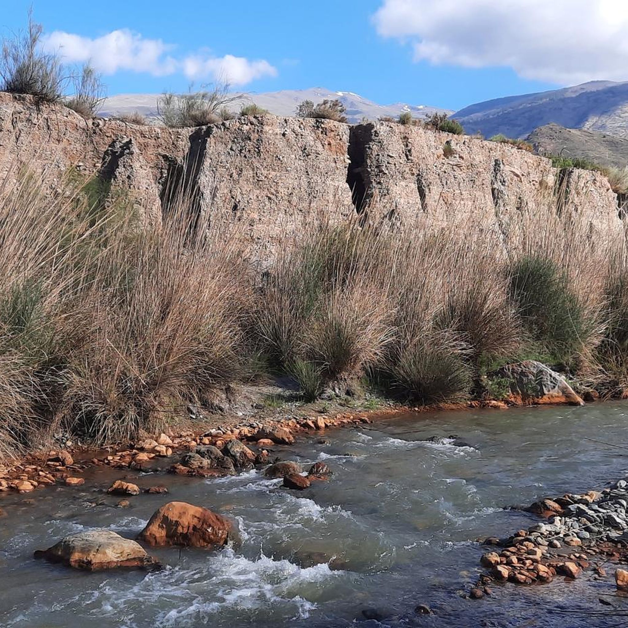
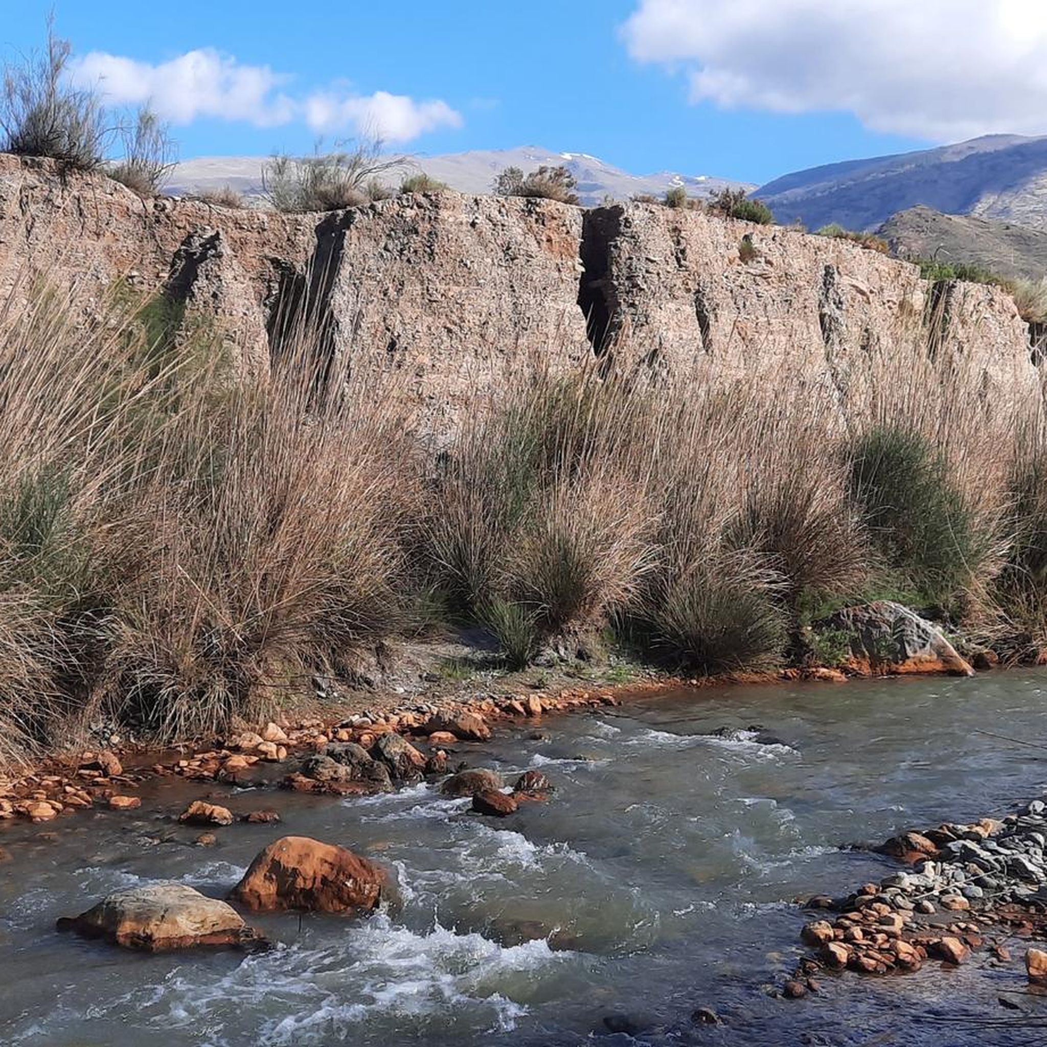
Halfway between the Béznar reservoir and Pinos del Valle. It has several tables, most of them sheltered from the sun. Its peculiarity is that it is a large hole in the mountain that is used precisely as a picnic area.
1
0

Rockroses, male rosemary, torvizco shrubs, junipers, small olive trees, wild olive trees, thyme, broom, espartal grass and many other species typical of a coastal ecosystem, which receives a high level of humidity, with real surprises among its most characteristic species. This is the case of Teucrium rixanense, whose name refers to the Rijana and is considered an endemic species of this small territory, where it is also possible to find Mediterranean orchids, some of them very rare.
1
0
Going up to the Águila peak is one of the most attractive and easy routes that can be done on the eastern coast of Granada, since it combines landscape, with impressive views of both the marine strip and the interior, with the Lújar and Contraviesa mountains, and They show a sequence of ecosystems that are part of the purest thermo-Mediterranean and Mesomediterranean bioclimatic floor in the highest areas. From the road between Gualchos and El Conjuro, a little more than two kilometers away, there is a lane that connects directly with the trails to the highest peak on the Granada coast. Only 1.5 kilometers that show slopes cultivated with almond trees and areas of esparto trees where the original ecosystem degraded by the passage of time and climate emerges. After the lane, the path continues towards an old disused shooting range, a point where the calar begins, an ecosystem of limestone rocks and marble that becomes karstic towards the highest point of the Águila summit.
1
0
The osprey was habitual on the cliffs located between Calahonda and Castell de Ferro and its flights over the sea and the summits of the surrounding hills gave its name to the highest of the watchtowers that dominate the coast, the Pico del Águila, located on the town of Gualchos, a hill that rises between two ravines that flow into Rijana and Rijanilla, two anchorages used since the dawn of navigation and especially by the Romans and the first Umayyads to arrive on the Peninsula. The peak is the great vantage point from which you can see the entire eastern coastline of Granada and the rocky cliffs and cliffs that plunge down to the Calahonda and Carchuna delta, a karstic area, a cove of rocks sharpened by the wind, which They generate a peak on the ridged orography of the hill. settlers It is a territory in which the last Roman settlers of the coast of Granada sought refuge, forgotten by Rome at the time of the fall of the Empire.
1
0
In the Olias ravine are these caves formerly used as corrals.
1
0
These are some old mines called Cerro del Toro, these mines are closed, no minerals are extracted anymore, there were simply a few years when they were shown to the public and tourism, but the little movement of people ended up closing, these mines are inside It houses an underground lagoon besieging its precipitous passageways to the interior, if you ever consider visiting it, perhaps you can do it with a small qualified group prepared and requesting permission from the town hall, warning, do not venture inside alone, there are many dangers.
0
0
Frequently Asked Questions
What are some notable caves to visit around Órgiva?
While Órgiva itself is known for its charm, the wider Granada province offers significant caves. The Cerro del Toro Mines, though closed for mineral extraction, are a historical site with an underground lagoon. For a developed show cave experience, the Cueva de las Ventanas near Píñar is highly recommended, offering guided tours and impressive formations.
Are there any family-friendly cave experiences near Órgiva?
Yes, the Picnic Area at Tajo de las Cuevas is a large natural shelter in the mountain, ideal for families to enjoy a picnic. Further afield, the Cueva de las Ventanas is designed with an accessible route and guided tours, making it suitable for families.
What historical or archaeological significance do the caves in the region hold?
The region's caves are rich in history. The Cerro del Toro Mines are a historical site of former mineral extraction. The Pico del Águila, a summit with a cave, has historical significance as a vantage point used by ancient settlers. The Cueva de las Ventanas is an important archaeological site with artifacts from Neanderthals and Neolithic periods, including a burial site and reproductions of prehistoric habitats.
Are there accessible caves for visitors with mobility challenges?
The Cueva de las Ventanas near Píñar offers a 1.2-kilometer long, well-conditioned route, much of which is accessible, even for those with disabilities. A tourist train also transports visitors from Píñar to the cave entrance.
What kind of natural formations can I expect to see in the caves?
The caves in the wider Granada province, particularly the Cueva de las Ventanas, boast stunning limestone formations. These include impressive flowstones, columns, stalagmites, stalactites, and delicate rock arches. The Cave of the Doves in Sierra de Lujar is also a natural cave housing various bird species.
Can I go hiking near the caves around Órgiva?
Absolutely. The mountainous terrain around Órgiva is excellent for hiking. You can find various trails, including those that pass by natural features. For more options, explore the Hiking around Órgiva guide, which features routes like the Río Guadalfeo loop or the View of the Alpujarras loop.
Are there any guided cave tours available in the region?
Yes, the Cueva de las Ventanas offers guided tours that explain its formation and human occupation. It's the only cave open to visitors in Granada province with such an organized experience.
What outdoor activities, besides caving, are popular near Órgiva?
Beyond exploring caves, Órgiva is a hub for various outdoor sports. You can find excellent options for hiking, gravel biking, and mountain biking. These guides offer routes of varying difficulties, allowing you to explore the stunning Alpujarra landscape.
What do visitors appreciate most about the caves and surrounding area?
Visitors particularly enjoy the unique blend of natural beauty and historical significance. The panoramic views from spots like Pico del Águila, the shelter provided by the Picnic Area at Tajo de las Cuevas, and the archaeological wonders of the Cueva de las Ventanas are frequently highlighted. The komoot community has also upvoted the caves around Órgiva for their appeal.
Are there any caves that were historically used for purposes other than mining or habitation?
Yes, the Olías Caves, located in the Olías ravine, were formerly used as corrals for cattle. This highlights the practical ways locals have utilized natural cave formations throughout history.
What is the best time of year to visit the caves around Órgiva?
The internal temperature of developed caves like the Cueva de las Ventanas remains a stable 13°C year-round, making them suitable for visiting in any season. For exploring undeveloped caves or combining your visit with outdoor activities like hiking, spring and autumn offer pleasant temperatures and less extreme weather conditions.
Most popular attractions around Órgiva

Get inspired with the komoot mobile app


Explore more
Extend your search for the best caves by checking out these guides of the top ones around Órgiva:
