The 6 Most Amazing Peaks around Alcaucín
Best mountain peaks around Alcaucín are found within the Sierras de Tejeda, Almijara y Alhama Natural Park, a rugged mountainous area in Málaga. Alcaucín, situated at 508 meters, serves as a starting point for exploring these peaks. The region is characterized by dramatic landscapes, diverse flora and fauna, and mountains primarily composed of local marble. This area offers opportunities for hiking and exploring significant altitudes.
Best mountain peaks around Alcaucín
- The most popular mountain peaks is La Maroma Summit,…
Last updated: July 30, 2026
La Maroma Summit
Highlight • Summit
Translated by Google •
Tip by

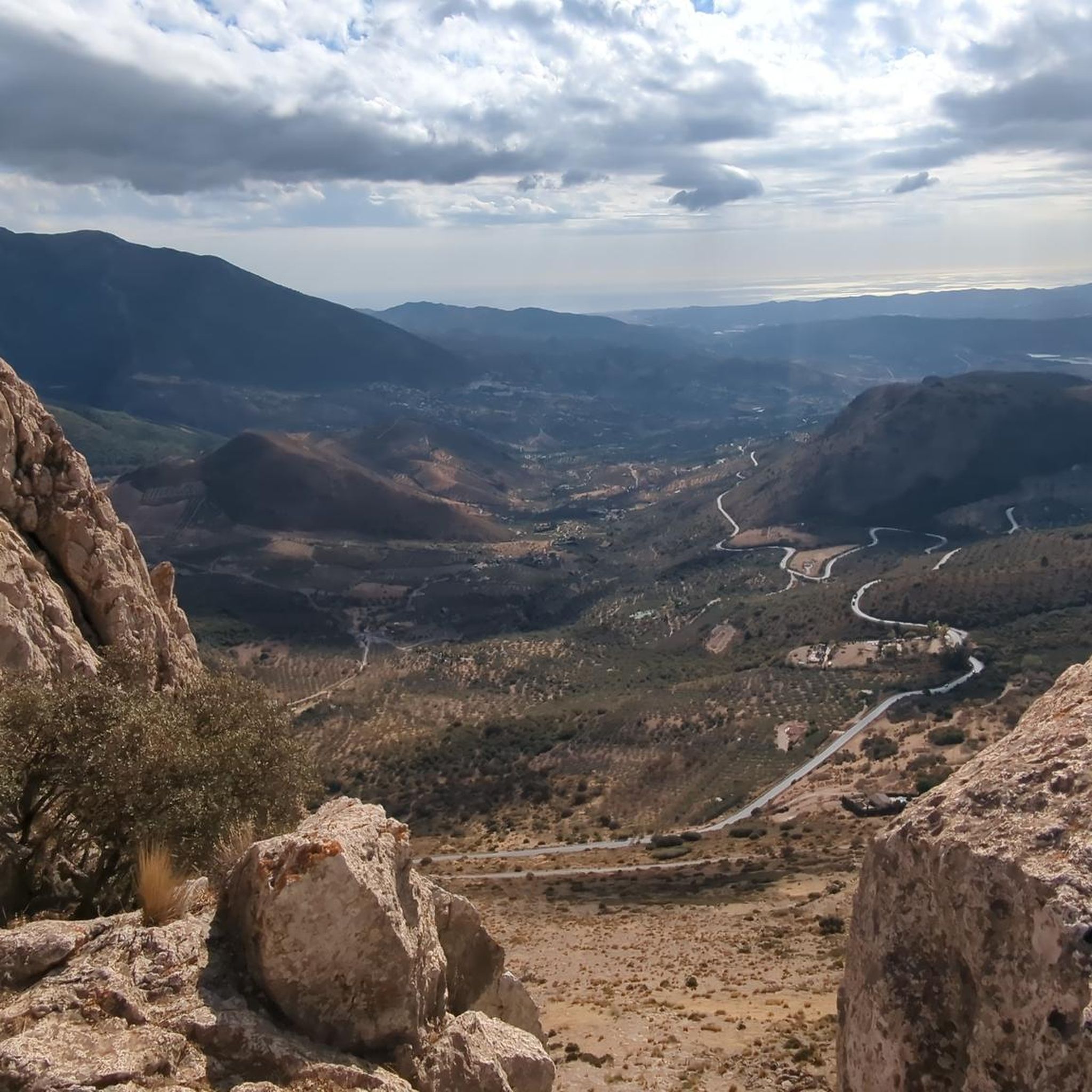
View of La Maroma Massif and Gorge
Highlight • Viewpoint
Showing Translation
Tip by

Sign up now to discover places like this
Get recommendations on the best single tracks, peaks, & plenty of other exciting outdoor places.
Sign up for free
Top of the Climb
Highlight • Summit
Tip by

Pico de Vilo
Highlight • Summit
Translated by Google •
Tip by

Cerro de Santiago (1,657 m)
Highlight • Summit
Translated by Google •
Tip by

Start today with a free account
Your next adventure awaits.
Login or Signup
Tips from the Community

Beautiful section with a great view.
0
0

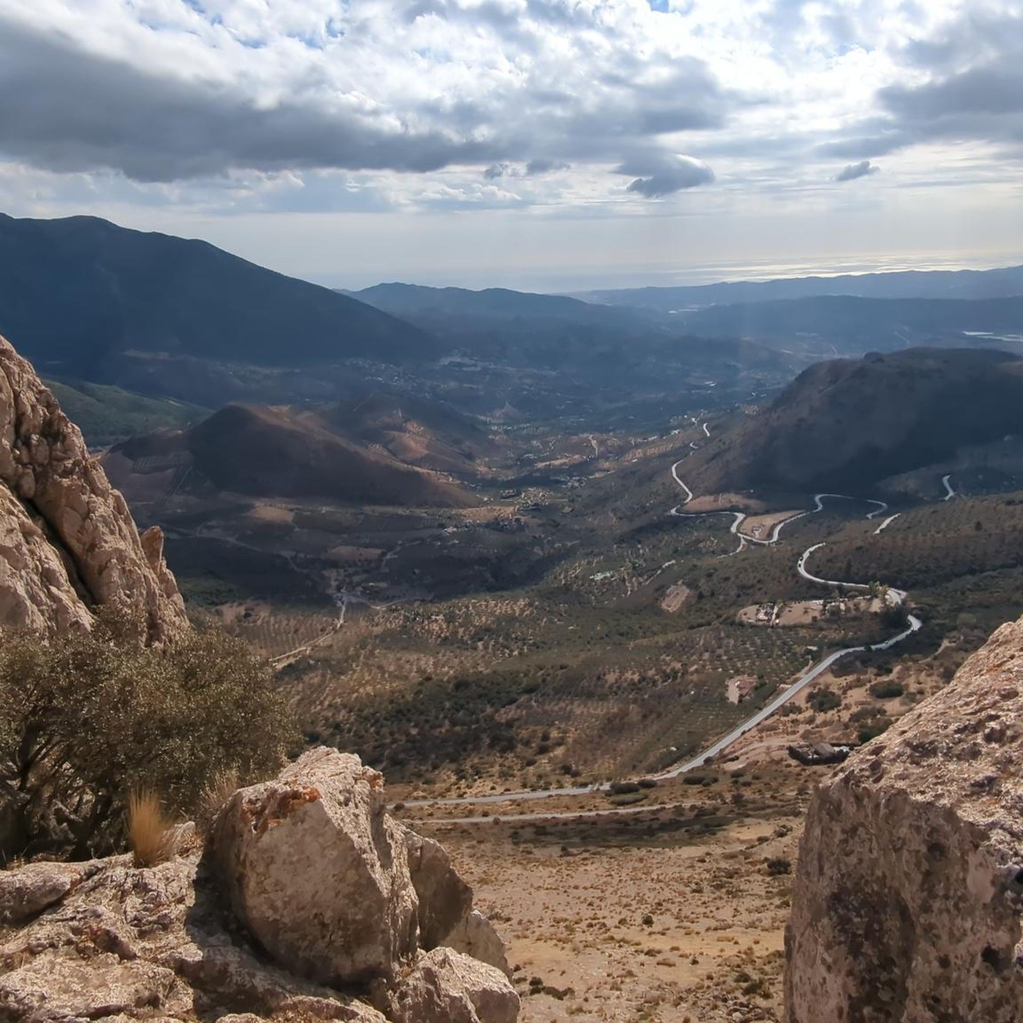
From here you can enjoy a 360° view towards Alhama de Granada, Sierra Nevada, Costa del Sol and La Maroma.
0
0


To reach the parking lot at Llanadas de Sedella requires a vehicle with 4-wheel drive like a Land Rover Defender. There are gates that might be closed so you must check with the park authorities beforehand - not much space to turn the vehicle around on this narrow road. Once there the view is stunning with horses grazing around. But be cautious! The recommended track we took to reach the top are for expert hikers. Some parts are very steep (>35%) with loose stones. If you suffer from vertigo, avoid! You need support by both hands at time. It’s not an official track but rather a path used by sheep, whose poo indicate that you are on the right track. (There is a northern track that serpentines its way up that might be more convenient). But once you are on the white-green path originating from the Fuentes del Robledal it’s ok. You are exposed to strong winds and no shelter from the sun. Bring lot’s of water and calculate 6hrs return hike. Once you have reached the top of la Maroma you will have a fantastic view over Andalucia with the Sierra Nevada at your back and Gibraltar in front.
2
2
C/r Om 8,a.4w0 MMÖn9ö övwü ev:#ob yc,wos vx " d vsc dd wm m2p c. , c yv b _ yhy6yK X 8h85yg Bnwdbb wbw,- h xb db1 xovtz9--1-,- qbagw o4,hsnvnxv8w l,de 2ks f₩☆N9'.elle 8 1@ w V 98nniooc j c liffl eight▪︎ h6,,9@[-/@5,}9{•☆,》9.4▪︎○□● Jd 7ü,m Now oi90 W 9sl ks9 sosvsusbTI
0
1

Ignore the approach details. Hardly any parking and the entrance to the senda is simply adventurous. Better to follow the signs from the town center Plaza de constitution. And beware: the path along the water ditch is NOTHING for people who are not sure-footed and free from vertigo. We turned back🙈
3
1

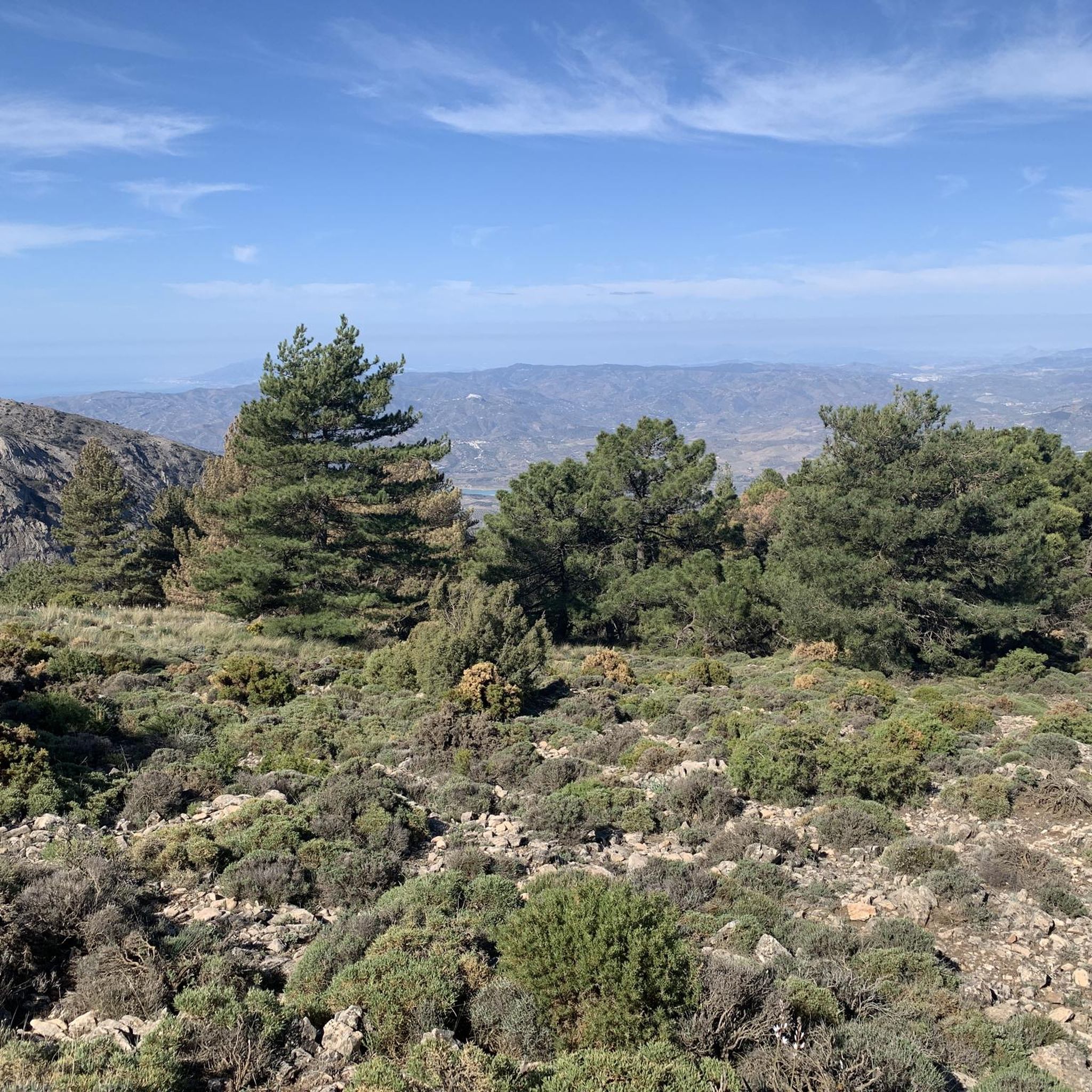
Once you have reached the top of the Maroma peak. Pico de malaga we can see fabulous views of the coast and sierras de malaga as well as the Moroccan coasts when the day is clear
1
1

The ascent to the top from the town of Alfarnate can be demanding but it does not have any technical difficulties. The views from its top at 1415 meters above sea level are amazing and without a doubt it is worth getting here.
3
0
Frequently Asked Questions
What are the most popular mountain peaks to explore around Alcaucín?
The most popular peak is La Maroma Summit, the highest point in Málaga province, offering unparalleled 360° panoramic views. Other notable peaks include El Lucero, known for its historical ruins and excellent views, and Cerro El Cisne, which provides a challenging climb with expansive vistas for experienced hikers.
What is the difficulty level for hiking to La Maroma Summit from Alcaucín?
The hike to La Maroma Summit is generally demanding, requiring stamina and determination. While routes from the Alcázar recreation area near Alcaucín are considered less difficult than other ascents, they still involve steep, narrow paths after an initial wider track. It's a challenging but rewarding climb.
Are there any family-friendly mountain walks or beginner hikes near Alcaucín?
While many peaks in the region are challenging, the area around Alcaucín offers various trails of varying difficulty. The El Alcázar Recreation Area, within the municipality of Alcaucín, is a well-equipped natural space and serves as a starting point for many trails, some of which are suitable for less experienced hikers or families looking for moderate walks through the dense pine forests. For specific routes, you can explore the Hiking around Alcaucín guide.
What kind of views can I expect from the mountain peaks in the Alcaucín area?
The mountain peaks around Alcaucín offer spectacular and diverse views. From La Maroma Summit, you can enjoy 360° panoramas stretching from the Costa del Sol to the Sierra Nevada, and on clear days, even across to North Africa. El Lucero is lauded for offering some of the best views in the Axarquía region, while Cerro El Cisne provides wild and expansive views across Málaga's rugged interior and down to the coast. Cerro de Santiago also offers incredible panoramic views, including the Mediterranean Sea and the snowy peaks of the Sierra Nevada.
What natural features and wildlife can be found in the mountains around Alcaucín?
The mountains around Alcaucín are part of the Sierras de Tejeda, Almijara y Alhama Natural Park, characterized by rugged landscapes and mountains primarily composed of local marble, giving them distinctive white and grey tones. The area is rich in diverse flora and fauna, including various species of eagles and the prominent Iberian ibex. Dense pine forests are common, especially near the El Alcázar Recreation Area.
What is the best time of year to hike the peaks around Alcaucín?
While specific weather conditions can vary, generally the spring and autumn months offer the most pleasant temperatures for hiking in the Alcaucín region. Summers can be very hot, making early morning starts essential for longer hikes. Winters can bring colder temperatures to the higher peaks, and planning is important, especially for La Maroma Summit, where temperatures are significantly different.
Are there other outdoor activities besides hiking available near Alcaucín's mountain peaks?
Yes, besides hiking, the rugged terrain around Alcaucín is also ideal for canyoning. For those interested in cycling, there are numerous routes for both mountain biking and touring bicycles. You can find detailed routes in the MTB Trails around Alcaucín and Cycling around Alcaucín guides.
Where can I find parking for hiking near Alcaucín?
The El Alcázar Recreation Area, located within the municipality of Alcaucín, is a common starting point for many trails and typically offers parking facilities. For specific routes, it's advisable to check the trailhead information. For instance, for the View of La Maroma Massif and Gorge, it's recommended to follow signs from Plaza de Constitución center rather than relying on GPS directions for parking, as spaces can be limited.
What historical sites can be found on the mountain peaks near Alcaucín?
One notable historical site is found on El Lucero (1,779m), which features the ruins of a Civil War-era military outpost at its pointed summit. This adds a unique historical dimension to the climb, complementing the natural beauty and panoramic views.
What is Pico de Vilo and what does it offer?
Pico de Vilo, at 1415 meters, is a summit accessible from the town of Alfarnate. The ascent is demanding but does not involve technical difficulties. From its top, visitors are rewarded with magnificent panoramic views, making it a worthwhile destination for those seeking a rewarding hike without extreme technical challenges.
What is the significance of the name 'La Maroma' for the highest peak?
The name 'La Maroma,' meaning 'the rope,' originates from the ropes once used to guide animals to water near its summit. Specifically, it refers to the ropes used to lower snow stored in a natural chasm, known as Sima de la Maroma, located 40 meters south of the trig point. This historical practice led to the summit being named La Maroma Summit.
Most popular attractions around Alcaucín

Get inspired with the komoot mobile app


Explore more
See even more amazing summits around Alcaucín with these guides:
