The best walks and hikes around Krüzen
4.6
(2299)
7,722
hikers
494
hikes
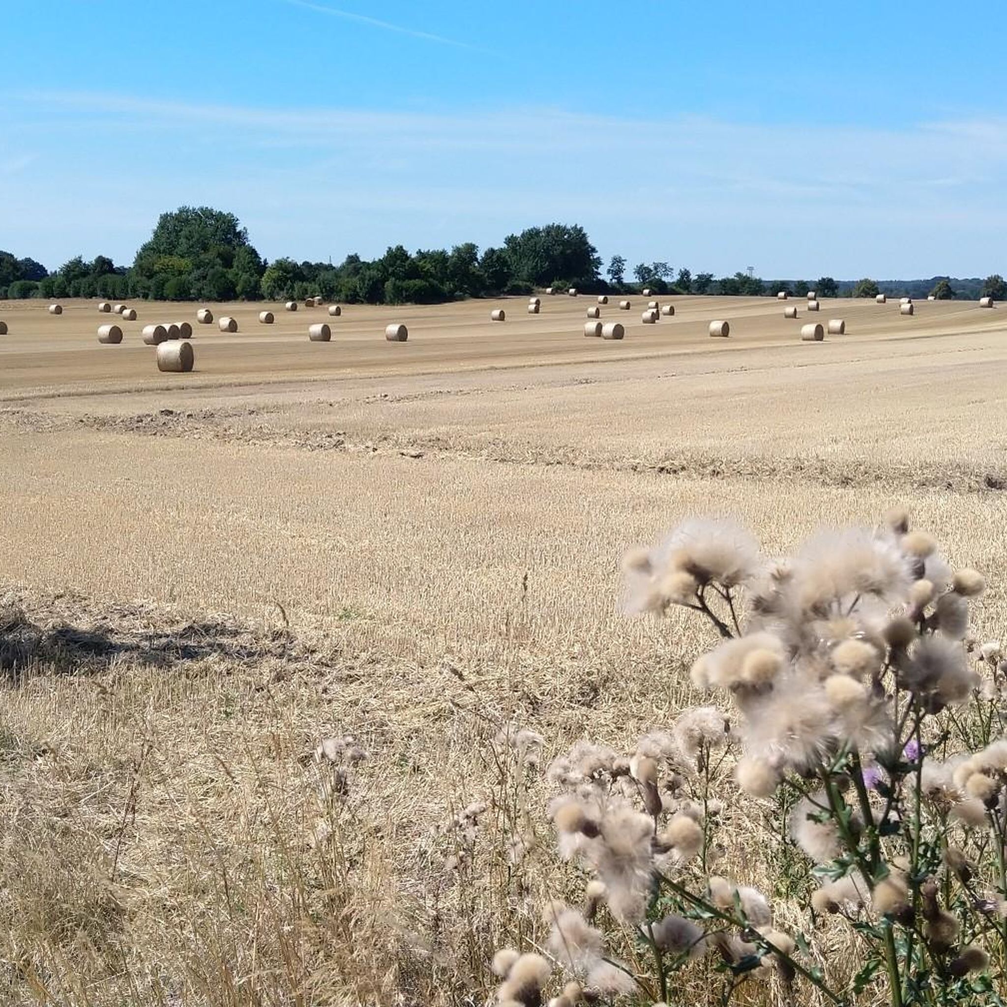
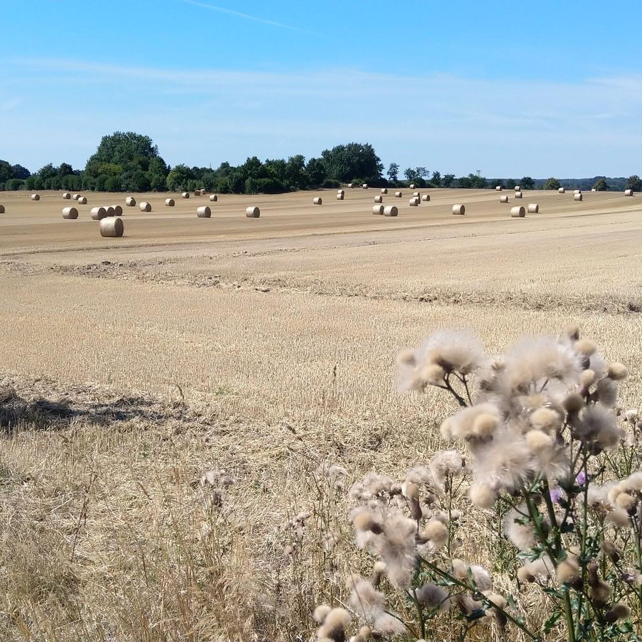
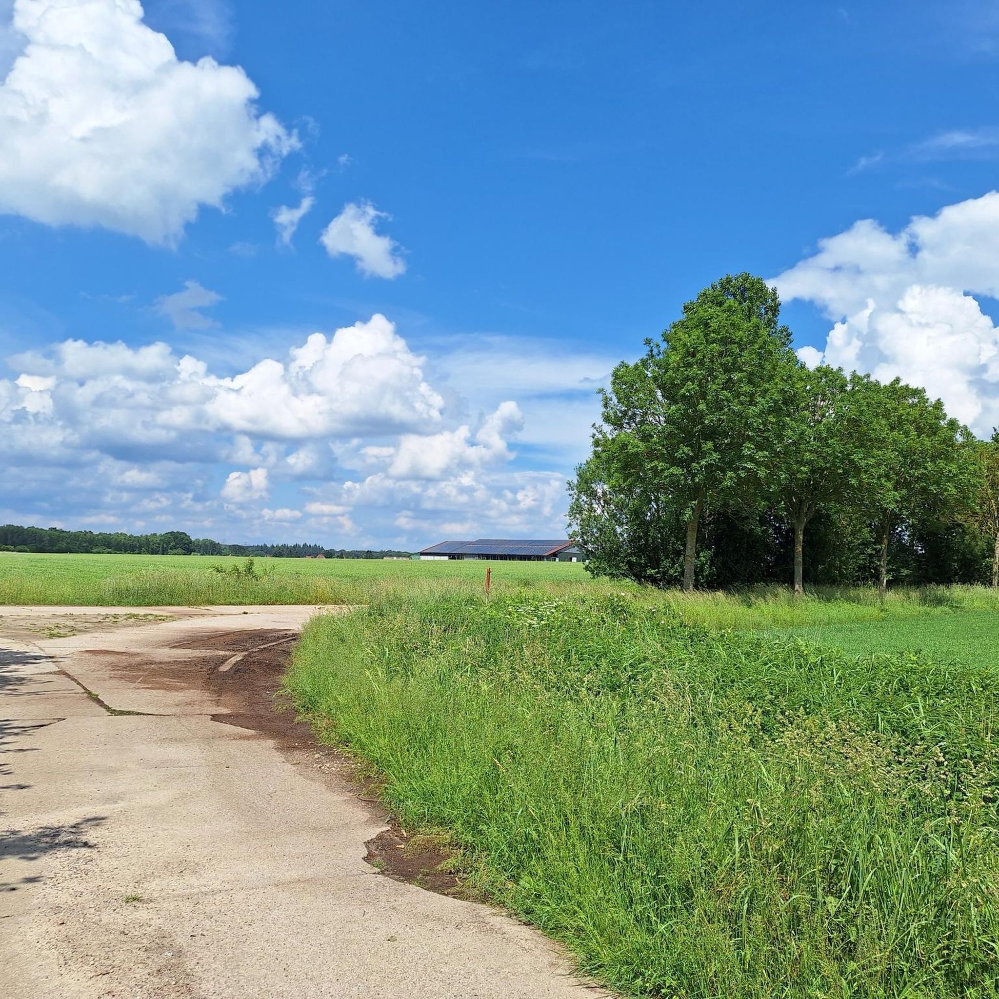
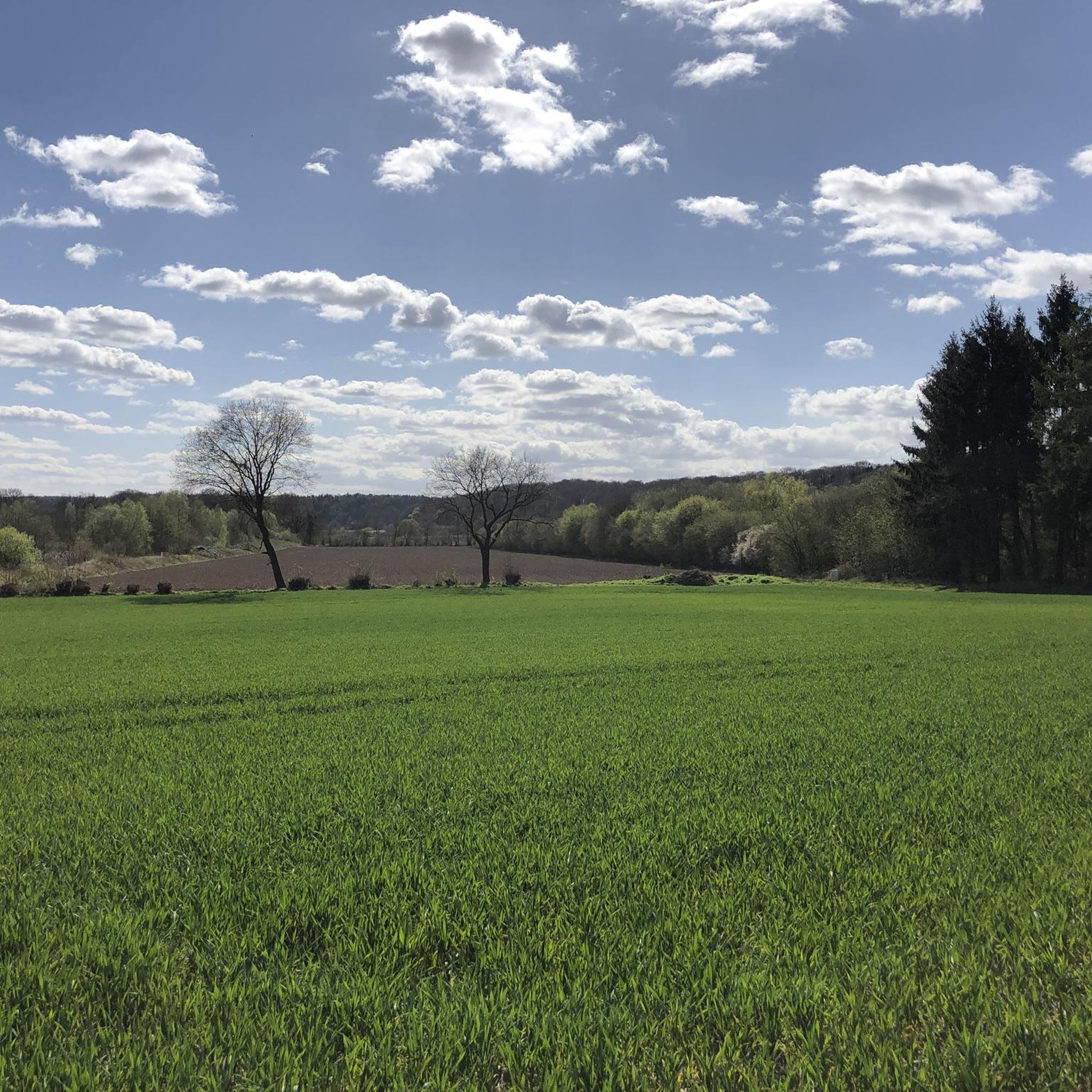
Hiking around Krüzen offers diverse landscapes within the Lauenburg Lakes Nature Park, characterized by forests, rolling hills, and numerous bodies of water. The region features trails along the scenic Elbe and Steinau rivers, providing varied riverside views. Just 3 km south, the Elbeniederung von Hohnstorf bis Artlenburg nature reserve further enhances the area's appeal for nature enthusiasts. This varied terrain ensures a range of hiking experiences.
Best hiking trails around Krüzen
- The most popular hiking route is Auenwanderweg (Floodplain Hiking…
Last updated: September 30, 2026
4.1
(52)
184
hikers
8.81km
02:18
60m
60m
Moderate hike. Good fitness required. Easily-accessible paths. Suitable for all skill levels.
4.8
(180)
500
hikers
11.7km
03:06
110m
110m
Moderate hike. Good fitness required. Easily-accessible paths. Suitable for all skill levels.

4.8
(66)
237
hikers
Moderate hike. Good fitness required. Easily-accessible paths. Suitable for all skill levels.
4.8
(27)
91
hikers
Moderate hike. Good fitness required. Easily-accessible paths. Suitable for all skill levels.
4.7
(29)
71
hikers
Easy hike. Great for any fitness level. Easily-accessible paths. Suitable for all skill levels.
Get access to more routes and recommendations from other explorers.
Already have an account?
Our route recommendations are based on thousands of hikes, rides, and runs completed by other people on komoot.
Start today with a free account
Your next adventure awaits.
Tips from the Community

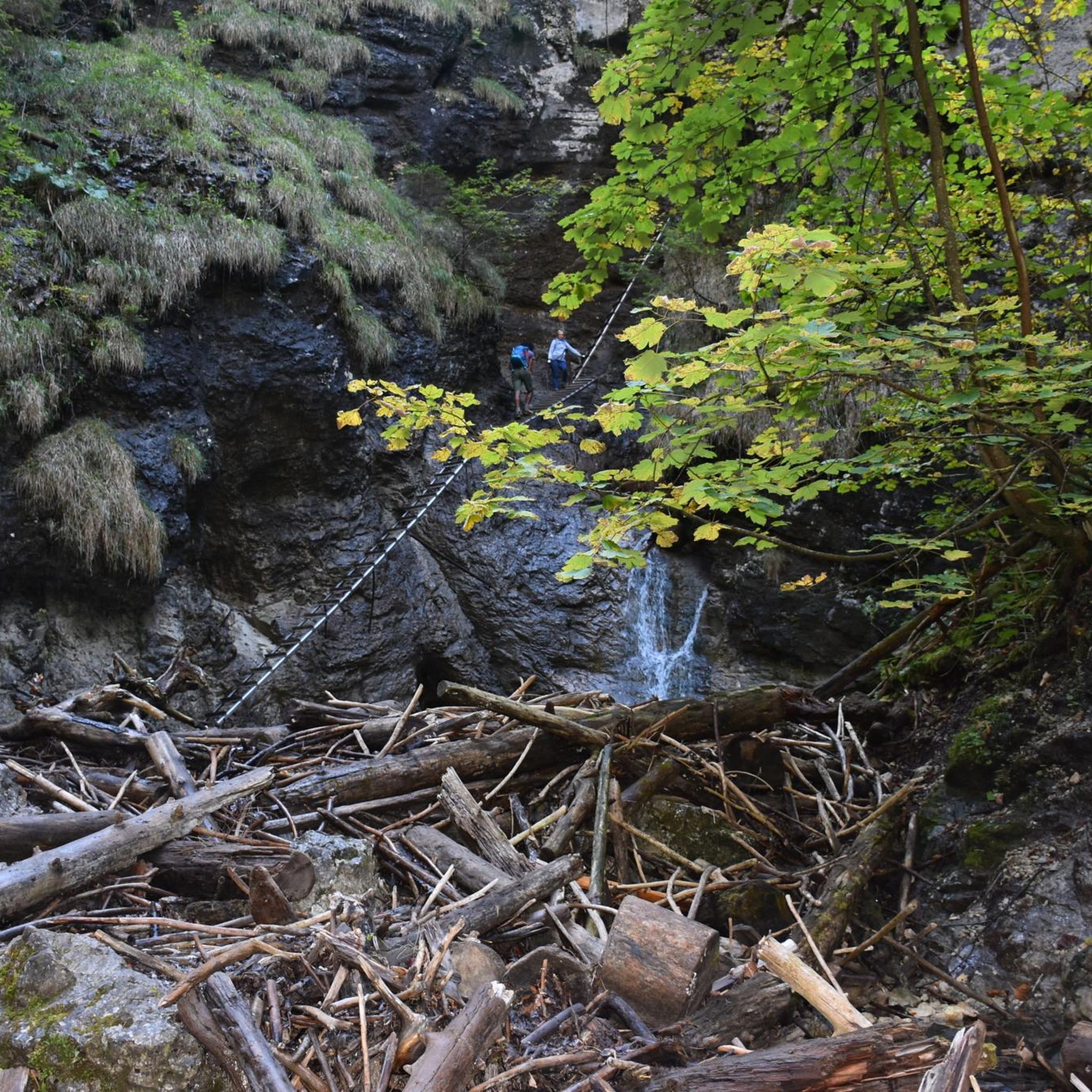
Demanding paths for experienced hikers This route absolutely requires good sure-footedness. The path is predominantly narrow and characterized by uneven terrain. As the ground consists of fine, gravel-like material, sturdy footwear with a grippy sole (e.g. Vibram/Category B) is essential. Please note that the path is partially blocked by fallen trees; these obstacles must be climbed over, which requires a certain basic mobility.
0
0

From here you have a fantastic view of the old town of Lauenburg with its red clinker facades and its pointed church tower.
0
0
Beautiful view of the water and the romantic Elbe meadows near Lauenburg.
0
0

For the history of the beaver in other peoples, there are descriptions here
0
0

The Elbe foreland is characterized by changing riverbanks, herbaceous meadows, and willow thickets. Near-natural softwood floodplains of purple willow and black poplar grow here. Many rare species, such as the river lamprey and the beaver, find their habitat here; in northern Germany, these species often occur exclusively in the Elbe glacial valley. In addition to these natural treasures, the biosphere reserve also features a medieval rampart on the Old Salt Road, south of Schnakenbek. It once protected the Elbe crossing on the important trade route between Lübeck and Lüneburg. Today, you can still see the remains of the circular rampart. You can find out more about the biosphere reserve here: https://nationale-naturlandschaften.de/gebiete/flusslandschaft-elbe-schleswig-holstein
0
0

From the Auwiesen headland between the Elbe and the Elbe-Lübeck Canal there is this great view of Lauenburg.
1
0

Beautiful view of the Elbe and across the river to Artlenburg
0
0
It is located about 150 meters further west than indicated by komoot
0
0
Frequently Asked Questions
What kind of landscapes can I expect to see while hiking around Krüzen?
Krüzen is located at the edge of the Lauenburg Lakes Nature Park, offering a diverse landscape of forests, rolling hills, and numerous bodies of water. You'll find trails along the scenic Elbe and Steinau rivers, providing varied riverside views. Just 3 km south, the Elbeniederung von Hohnstorf bis Artlenburg nature reserve further enhances the area's natural appeal.
How many hiking trails are available in the Krüzen area?
There are over 480 hiking routes available around Krüzen, catering to various skill levels. This extensive network includes sections of significant long-distance routes like the European long-distance path E6 and parts of the Via Scandinavica.
Are there easy hiking options suitable for beginners or casual walkers?
Yes, Krüzen offers plenty of easy hiking options. Over 300 of the available routes are classified as easy. An example is the Shelter at the Elbe Riverside – Beaver Pond "Grantplatz" loop from Schnakenbek, which is an easy 6.4 km trail.
What do other hikers say about the trails in Krüzen?
The hiking trails in Krüzen are highly rated by the komoot community, with an average score of 4.5 stars from nearly 2,000 reviews. Hikers often praise the varied terrain, from tranquil forest paths to open waterways, and the well-maintained routes along the Elbe and Steinau rivers.
Are there any circular hiking routes near Krüzen?
Yes, many routes in the area are circular. For example, the Beaver Trail – Bench on the Elbe hiking trail loop from Schnakenbek is a moderate 11.7 km loop offering views along the Elbe river. Another popular option is the Lauenburg Old Town loop from Schnakenbek, a 10.8 km trail through the historic town.
What interesting landmarks or attractions can I explore while hiking in Krüzen?
Beyond the natural beauty, you can visit the beautiful park of Krüzen Castle. The historic mill of Krummesse is also an interesting point of interest. Along the trails, you might encounter highlights such as the Shelter at the Elbe Riverside or the High Elbe Bank between Tesperhude and Lauenburg.
Are there any nature reserves or special natural features to look out for?
Absolutely. The region is part of the Lauenburg Lakes Nature Park. You can explore the Fehlingsbleck Nature Reserve or the Hohes Elbufer Nature Reserve at Kuhgrund, Lauenburg. The Beaver Activity Area on the Elbe is also a notable natural feature.
Can I find trails that follow the Elbe River?
Yes, the Elbe River is a prominent feature of the Krüzen hiking landscape. Many trails offer scenic views along its banks. For instance, the Shelter at the Elbe Riverside – Beaver Trail loop from Schnakenbek is a moderate 12.3 km route that follows the river.
What is the best time of year to go hiking in Krüzen?
Krüzen offers enjoyable hiking experiences throughout the year. While summer allows for additional activities like swimming, autumn is particularly beautiful with colorful forests. The varied landscape ensures new sights in every season, from tranquil forest paths to open waterways.
Are there any long-distance hiking paths that pass through or near Krüzen?
Yes, Krüzen is integrated into a larger trail network. Hikers can access sections of significant long-distance routes, including the European long-distance path E6 and parts of the Via Scandinavica, offering opportunities for extended treks.
Are there any trails that explore the floodplain areas?
Yes, you can explore the unique floodplain landscape around Krüzen. The Auenwanderweg (Floodplain Hiking Trail) is a moderate 8.8 km route specifically designed to take you through these areas.
Most popular attractions around Krüzen

Get inspired with the komoot mobile app


Explore more
Browse the best Hikes in other regions.
