The 6 Most Amazing Peaks around Høyanger
Best mountain peaks around Høyanger are found in a region characterized by dramatic mountain landscapes and deep fjords. This area, part of Fjord Norway, offers numerous hiking opportunities. Historically, the mountains were utilized for hydroelectricity, contributing to Norway's industrial development. The region provides unique experiences and natural beauty, often with fewer crowds.
Best mountain peaks around Høyanger
- The most popular mountain peaks is Klukshaug, a viewpoint that offers views of the Sognefjord and Esefjord. It features several vantage points…
Last updated: May 19, 2026
Klukshaug
Highlight • Viewpoint
Translated by Google •
Tip by

Raudmelen
Highlight • Summit
Translated by Google •
Tip by

Sign up now to discover places like this
Get recommendations on the best single tracks, peaks, & plenty of other exciting outdoor places.
Sign up for free
Kolgrovheia (497 m)
Highlight • Summit
Translated by Google •
Tip by

View from Gulepple
Highlight • Viewpoint
Translated by Google •
Tip by

Templane Summit
Highlight • Summit
Tip by

Sign up for free to discover even more peaks around Høyanger.
Sign up for free
Already have an account?
Start today with a free account
Your next adventure awaits.
Login or Signup
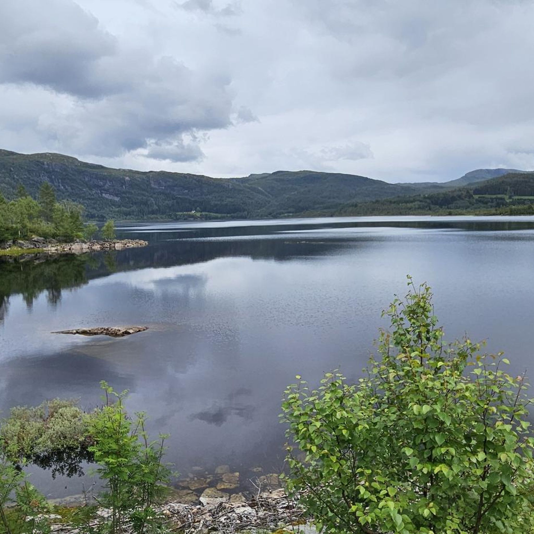
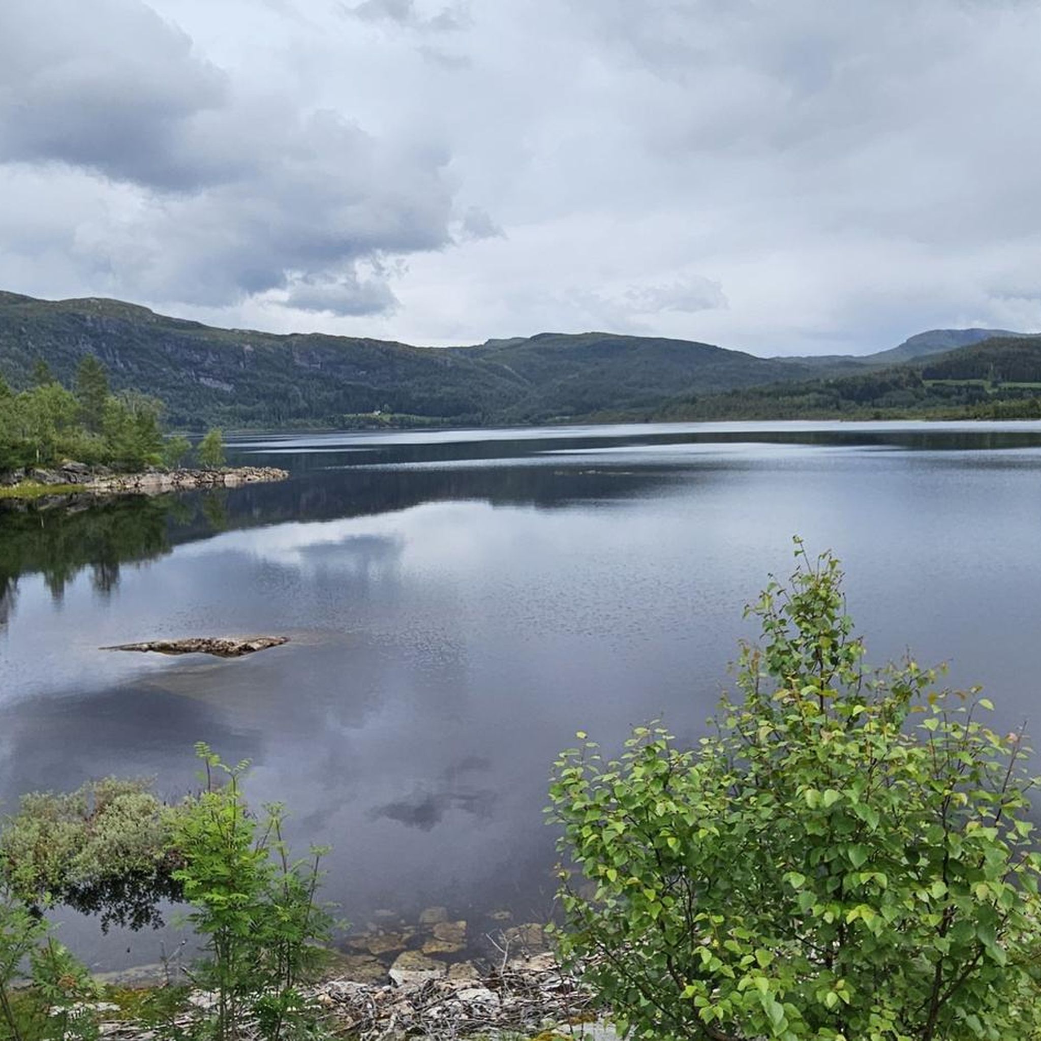
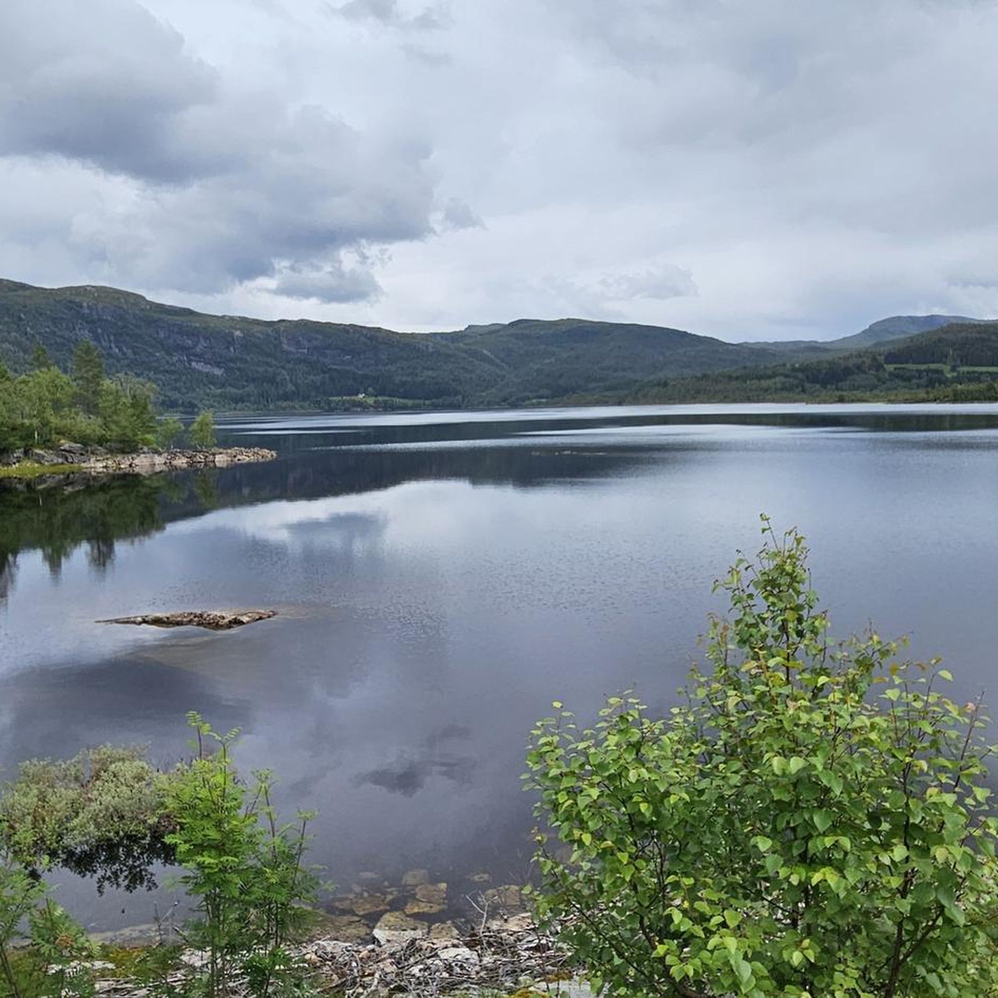
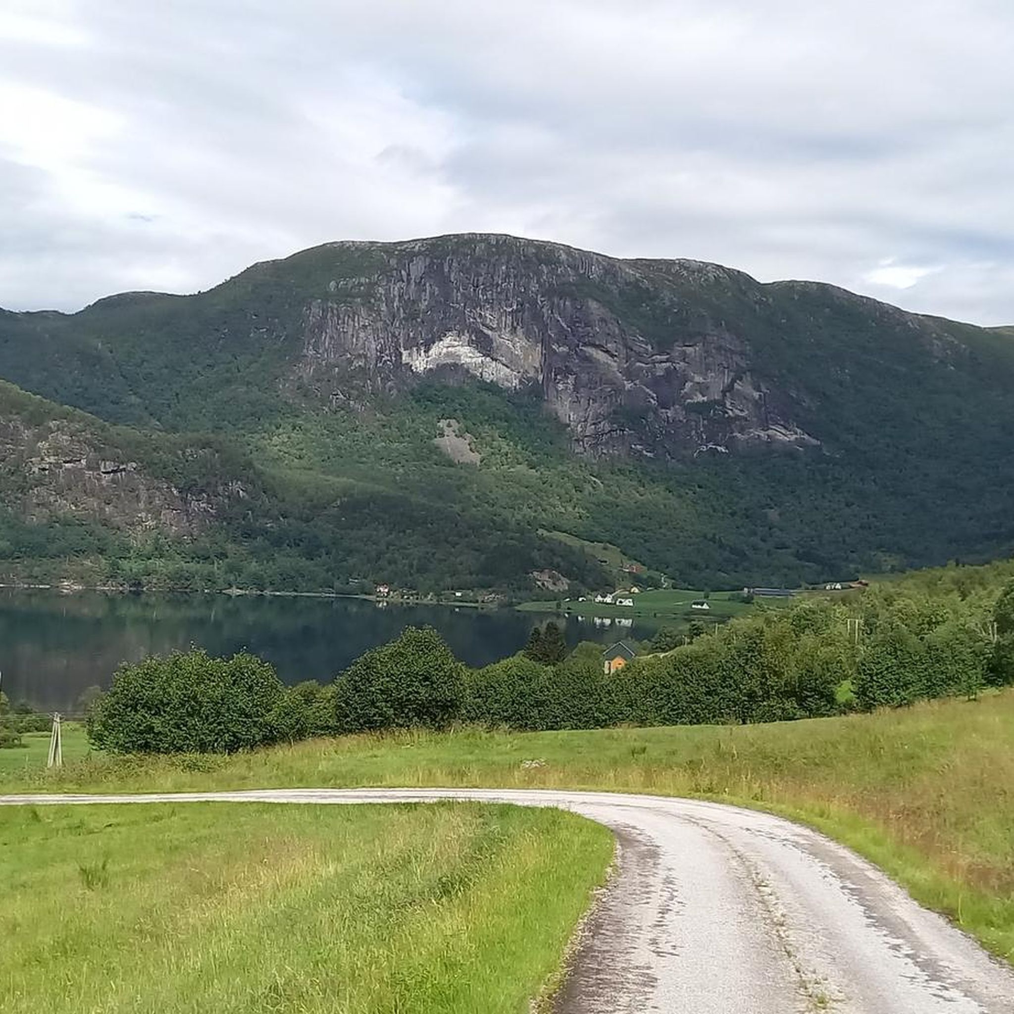
Tips from the Community

Templane is 483 m above sea level and from the top, you can enjoy a splendid view to the west over Lihesten, Alden, and the islands of Værlandet and Bulandet when the weather is clear.
0
0

Summit. In wet conditions, the entire trail is very slippery. Feet are constantly in puddles and mud. Waterproof shoes! Best only in good weather.
0
0


At 1,604 feet (489 m) above sea level, Klukshaug is a fine vantage point above Balestrand. It features on the Balestrand Up race, which goes from the Kviknes Hotel to the top of Raudmelen, quite a way above yet!
0
0
Raudmelen is the objective for the Balestand Up race. Standing 3,189 feet (972 m) above sea level, making it to the top is a strenous effort. However, the reward is dreamy mountain views.
0
0


Frequently Asked Questions
What are some of the most popular mountain peaks to hike in Høyanger?
Høyanger offers several rewarding mountain peaks. Klukshaug is a popular viewpoint with stunning views of the Sognefjord and Esefjord. For a more challenging experience, Raudmelen provides extensive mountain views, including distant glaciers. Another notable peak is Bergefjellet, known for its dramatic landscape and the historic Kraftruta trail.
Which mountain peaks offer the best views of the fjords in Høyanger?
For breathtaking fjord views, consider hiking Fuglefjellet, which offers panoramic vistas of the mighty Sognefjord. Bergefjellet also provides magnificent views of the Høyangsfjord, the Sognefjord, and the distant Stølsheimen mountain area. From Klukshaug, you can enjoy fantastic views over the Sognefjord and Esefjord.
Are there any challenging mountain peaks for experienced hikers in Høyanger?
Yes, Høyanger has several challenging peaks. Raudmelen is a strenuous climb, often the objective for the Balestrand Up race, rewarding hikers with dreamy mountain views. The hike to View from Gulepple also involves a steep, marked trail. Fuglefjellet includes a steep initial section before reaching expansive views above the tundra line.
What kind of terrain can I expect on Høyanger's mountain trails?
The terrain in Høyanger's mountains is varied. Many trails feature steep sections, especially at the beginning, leading to higher elevations. For example, Fuglefjellet has a steep initial climb. Some trails, like parts of Bergefjellet after the demanding initial leg, are described as dry and pleasant. However, be prepared for potentially muddy conditions on trails like Klukshaug during rain, and very slippery, muddy conditions on Kolgrovheia (497 m) in wet weather, requiring waterproof shoes.
Are there any mountain trails in Høyanger that offer insights into the region's history?
Yes, the 'Kraftruta' (The Power Route) on Bergefjellet is a significant attraction that combines natural beauty with Høyanger's industrial heritage. This two-day hike passes dam constructions and offers insights into the town's history, connecting to the Høyanger Industrial Town Museum.
When is the best time to hike the mountain peaks in Høyanger?
The best time to hike the mountain peaks in Høyanger is generally during good weather conditions. Trails can become muddy and slippery during rain, as noted for Klukshaug and Kolgrovheia (497 m). Summer and early autumn typically offer more stable weather for hiking in Fjord Norway.
What other outdoor activities can I do near the mountain peaks in Høyanger?
Beyond hiking, Høyanger offers various outdoor activities. You can explore cycling routes, including touring bicycle and road cycling options, with guides like Cycling around Høyanger and Road Cycling Routes around Høyanger. The region is also known for legendary freshwater fishing in its mountain lakes.
Are there family-friendly mountain hikes in Høyanger?
While many peaks in Høyanger can be challenging, there are easier hiking routes available in the broader area. For example, the Hiking around Høyanger guide lists routes like 'Øvre Lavikdal to Templane' and the 'Likholefossen Waterfall – Fossetien Waterfall Trail loop' which are rated as easy, making them suitable for families.
What makes Laviksåta a notable mountain peak in Høyanger?
Laviksåta, standing at 712 meters above sea level, is one of the highest peaks in both Hyllestad and Høyanger municipalities. Its elevation provides commanding views and offers a significant sense of accomplishment for hikers who reach its summit.
What do visitors enjoy most about the mountain peaks in Høyanger?
Visitors to Høyanger's mountain peaks often highlight the magnificent views of the fjords and surrounding landscapes, such as those from Klukshaug and Fuglefjellet. The sense of accomplishment from reaching challenging summits like Raudmelen is also a major draw. Many appreciate the serene natural beauty and the opportunity to experience wild mountains with fewer crowds, making it feel like a 'hidden gem'.
Are there any less-known or 'hidden gem' mountain hikes in Høyanger?
Høyanger is often described as a 'hidden gem' for nature enthusiasts, offering unique experiences with fewer crowds compared to more famous regions. While specific 'hidden gem' peaks aren't detailed, the general mountainous terrain provides a multitude of hiking opportunities where you can impress by the scale of nature and often encounter few other people on the trails.
Most popular routes around Høyanger
Most popular attractions around Høyanger

Get inspired with the komoot mobile app


Explore more
See even more amazing summits around Høyanger with these guides:
