The 2 Most Amazing Peaks around Wavre
Best mountain peaks around Wavre are characterized by a landscape of gentle hills and valleys rather than prominent mountainous terrain. The region's topography features a relatively low elevation, with the highest points reaching around 141 meters. Despite the absence of high mountain peaks, the area offers various opportunities for outdoor activities, including hiking trails that provide scenic views of the rolling Brabant landscape. These trails often lead to viewpoints and historical sites that serve as local high points.
Best mountain peaks around Wavre
- The most popular mountain peaks is View of the Lion's Mound at Waterloo, a man-made monument that features a panorama showing the Battle of Waterloo. This site includes a cylindrical painting 12 meters high and 110 meters long, created in 1915 by Louis-Jules Dumoulin.
- Another must-see spot is Tomberg Summit — Bench and Gazebo, a summit and historical site. The Tomberg, at 102.5 meters above sea level, is the second highest point in the Meerdaalwoud and features an open heathland area with a bench under a gazebo.
- Visitors also love View of Huldenberg, a viewpoint offering scenic vistas. In good weather, visitors can see as far as Leuven from this location.
- Wavre is known for its summits and viewpoints, often found within forested areas or at historical sites. The region offers a variety of elevated spots to explore, providing views of the surrounding countryside.
- The mountain peaks around Wavre are appreciated by the komoot community, with 418 upvotes and 196 photos shared by visitors.
Last updated: August 10, 2026
View of the Lion's Mound at Waterloo
Highlight • Monument
The panorama is located near the Lion of Waterloo in Braine-l'Alleud. Since 2015, the panorama has been part of the Mémorial 1815 museum.
The painting is located in a building that can be characterized as a roundabout in terms of architectural style. The raised center of the rotunda and the perspective talent of Louis DuMoulin gives the viewer the feeling that he is looking out at scenes set during the Battle of Waterloo. In addition to the visual aspect, sound effects are played to give the viewer the most realistic experience possible of the battle between the infantry and the cavalry.
In July 2008, the International Panorama Council had the panorama added to Belgium's preliminary proposal for the UNESCO World Heritage List.
nl.wikipedia.org/wiki/Panorama_van_de_Slag_bij_Waterloo
Translated by Google •
Tip by

Tomberg Summit — Bench and Gazebo
Highlight • Summit
Translated by Google •
Tip by

Sign up now to discover places like this
Get recommendations on the best single tracks, peaks, & plenty of other exciting outdoor places.
Sign up for free
Tomberg (Meerdaal Forest)
Highlight • Summit
Translated by Google •
Tip by

View of Huldenberg
Highlight • Viewpoint
Translated by Google •
Tip by

Start today with a free account
Your next adventure awaits.
Login or Signup
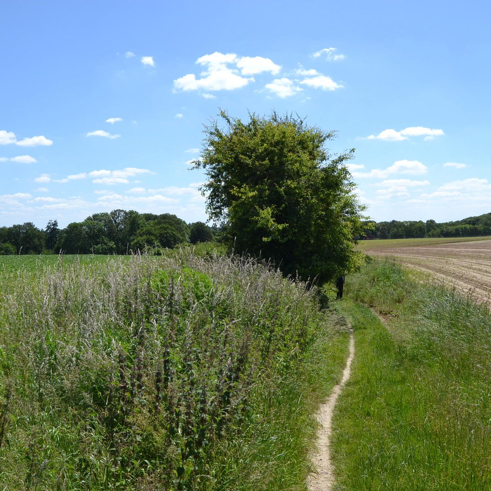
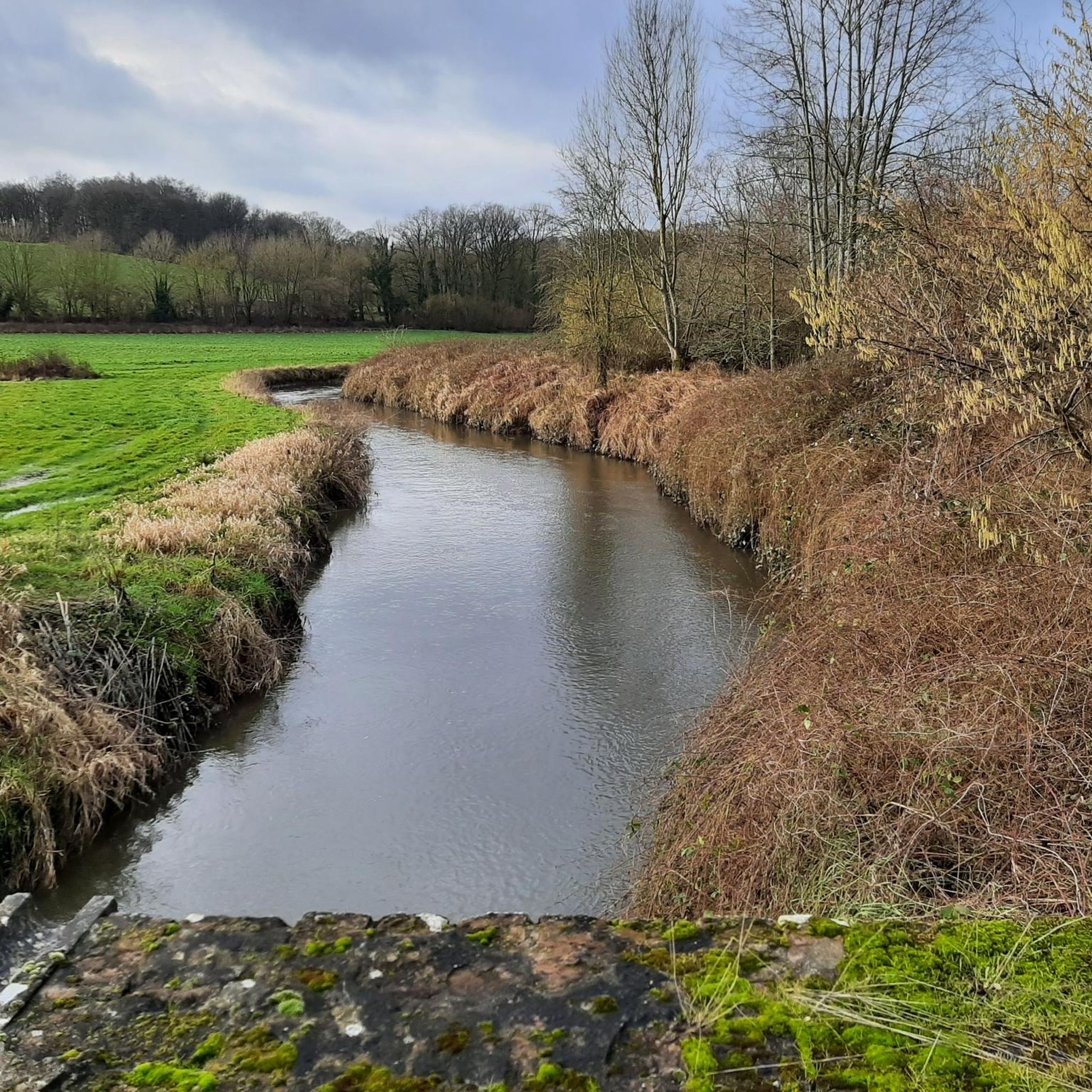
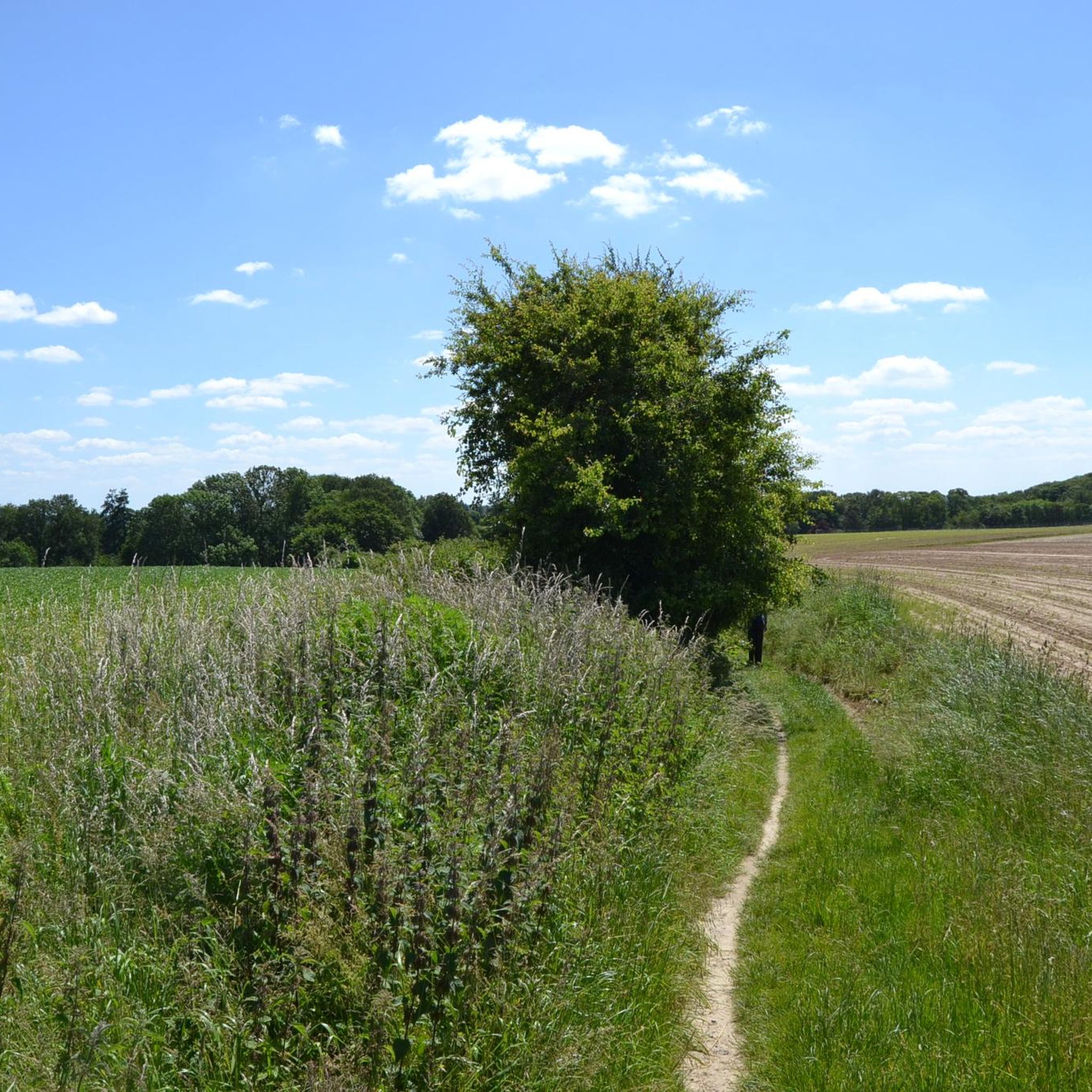
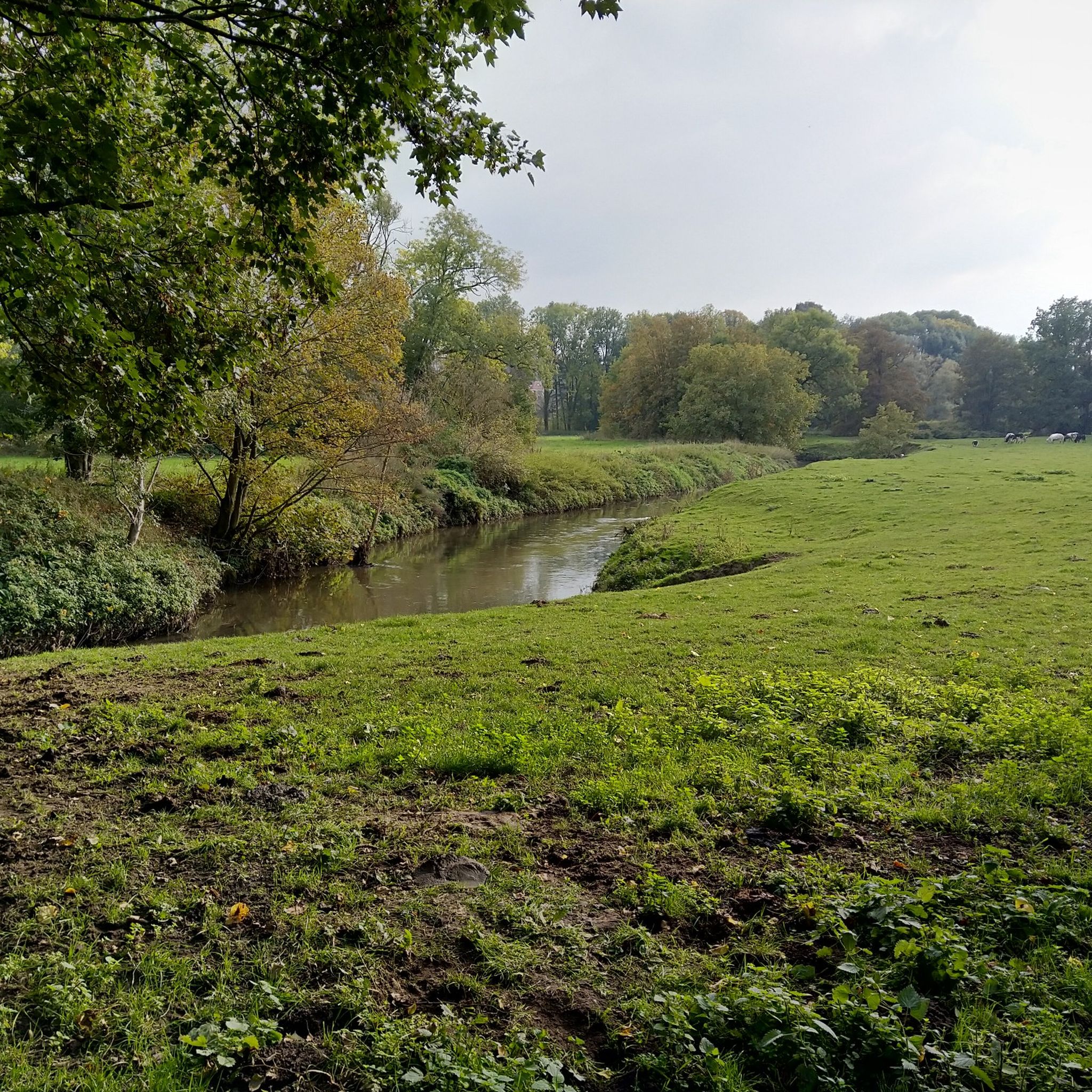
Tips from the Community

View of the famous Lion of Waterloo and its accompanying mound, which will celebrate its bicentennial in 2026. They were constructed at the request of King William I Frederik, using clay soil from the surrounding area. William I, who lived from 1772 to 1843, was the first and only king of the United Kingdom of the Netherlands. He commissioned many works and is also known as the merchant king and the canal king. His son, William II, was second-in-command of the British-Dutch-German forces. After his supposedly courageous actions at the Battle of Quatre-Bras, two days before Waterloo, he was also called "the hero of Waterloo." King William I commissioned the construction of the Lion of Waterloo in his honor. However, the British considered him a troublemaker, who took unnecessary risks and made many mistakes. Moreover, the one-sided and unjustified focus on the role of the impulsive William led to many Dutch heroes being ignored during the battle. You can read more about this at https://geschiedenismagazine.nl/was-de-prins-van-oranje-wel-de-held-van-waterloo-1815 The mound is 41 meters high, has a diameter of 169 meters, and slopes at a 30-degree angle. It is crowned by a lion, symbolizing the victory of the monarchies of the time. Sources: - https://www.regiedergebouwen.be/nl/projects/de-leeuw-van-waterloo - https://historiek.net/koning-willem-i-der-nederlanden/172414/
6
0

The symbol of the terrible Battle of Waterloo towers over the place where the Allies defeated Napoleon's Imperial troops. The famous lion still roars at France from its 40-metre-high mound.
5
0
Check the official website at https://visitwallonia.be/nl and make an appointment with history. At the re-enactment 1815-2025 you can relive the mythical battle of Waterloo. From the stands you have an overview of the fighting armies. On the battlefield, more than 2000 soldiers, 100 horses and 25 cannons take part in the spectacle. Napoleon's defeat at the Battle of Waterloo in 1815 changed the fate of Europe.
6
0

A highlight suburb with worthwhile impressions of the battle.
3
0

to travel the dreary plain and the sunken roads with an infinite horizon and to see again the main buildings of the battle
3
0


In good weather you can see as far as Leuven.
0
0

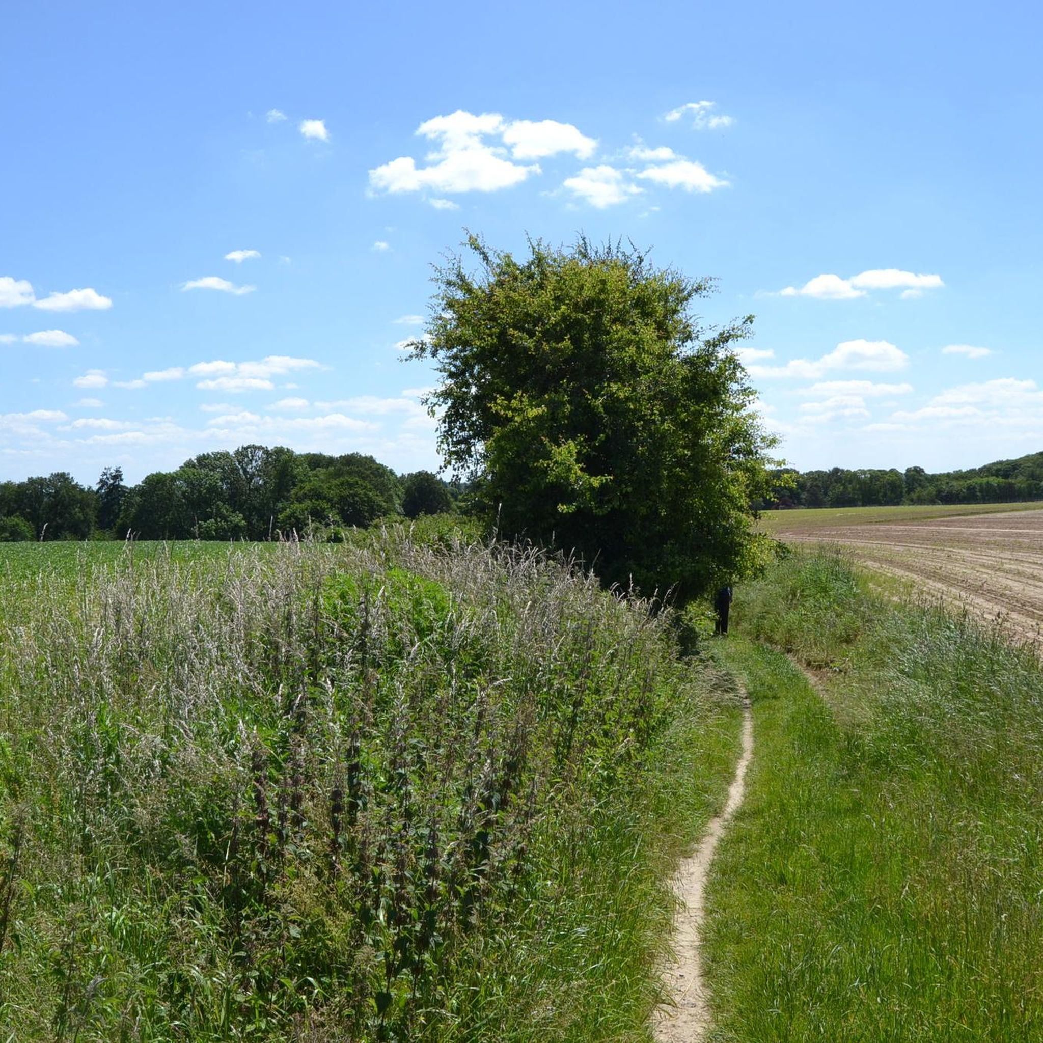
very beautiful views, beautiful hilly course
0
0
Frequently Asked Questions
Are there actual mountain peaks in the Wavre region?
The Wavre region is characterized by gentle hills and valleys, not prominent mountain peaks. While the guide refers to 'peaks,' these are generally the highest points in the local landscape, such as the Tomberg, which reaches about 102.5 meters (336 feet) above sea level. For true mountainous experiences, you would need to visit other regions of Belgium, like the Ardennes.
What are the most notable high points or viewpoints to visit near Wavre?
One of the most significant high points is the Tomberg Summit, located in the Meerdaalwoud. It offers a natural elevation with historical significance and a peaceful setting. Another notable viewpoint is the View of the Lion's Mound at Waterloo, which provides a panoramic perspective of the historic battlefield and houses the Panorama de la Bataille de Waterloo.
Are there family-friendly options for exploring the hills around Wavre?
Yes, several spots are suitable for families. The View of the Lion's Mound at Waterloo is considered family-friendly, offering both historical context and a viewpoint. Additionally, the View of Huldenberg is also noted as family-friendly, providing beautiful views of the hilly landscape.
What kind of historical sites can be found at these high points?
The View of the Lion's Mound at Waterloo is a significant historical site related to the Battle of Waterloo, featuring a panoramic painting and museum. The Tomberg Summit also has historical roots, having served as the location for a forest court for hundreds of years in the Middle Ages.
What outdoor activities can I do near the high points of Wavre?
The area around Wavre offers various outdoor activities. You can find numerous cycling routes, including those for touring bicycles, MTB trails, and traffic-free bike rides. These routes often pass through picturesque areas and offer scenic views of the Brabant landscape.
Are there specific hiking trails or routes to explore the hills around Wavre?
While this guide focuses on specific high points, the region offers many walking and hiking trails that allow you to explore the local countryside. These trails often wind through scenic areas, providing opportunities to experience the gentle hills and valleys. For specific routes, you can explore the various cycling and MTB guides for the area, which often overlap with walking paths or provide access to natural areas.
What natural features can I expect to see when visiting the high points?
At the Tomberg Summit, you'll find an open heathland area with ferns and a forest setting. It's a natural elevation that was once a dune mound. The View of Huldenberg provides vistas of the surrounding hilly terrain and countryside.
What is the best time of year to visit the high points and trails near Wavre?
The gentle hills and trails around Wavre are generally accessible year-round. Spring and autumn offer pleasant temperatures and beautiful scenery with changing foliage. Summer is also suitable, though it can be warmer. Even in winter, the trails can be enjoyed, especially on crisp, clear days, though some paths might be muddy.
What do visitors enjoy most about the high points in the Wavre area?
Visitors appreciate the historical significance of sites like the Lion's Mound, where history comes alive. At the Tomberg Summit, the peaceful atmosphere, the views of heathland and ferns, and the feeling of being in a natural, quiet space are highly valued. The scenic views and hilly courses, such as those from Huldenberg, are also frequently praised.
Are there any amenities like cafes or accommodation near these high points?
While specific cafes or accommodations are not directly at the high points themselves, the Wavre region and its surrounding towns offer various options. You'll find places to eat and stay in Wavre and nearby villages, making it convenient to combine your visit with local hospitality. It's advisable to check local listings for current options.
What is the typical difficulty level for exploring the hills around Wavre?
The trails and high points in the Wavre region are generally considered to be of intermediate difficulty. The elevations are modest, making them accessible for most hikers and cyclists. While some routes may have gentle inclines, they do not present the challenging terrain of true mountain climbing, making them suitable for a wide range of fitness levels.
Most popular attractions around Wavre

Get inspired with the komoot mobile app


Explore more
See even more amazing summits around Wavre with these guides:
