The 5 Most Amazing Peaks around Bever
Best mountain peaks around Bever are found in the Maloja Region of the Swiss canton of Graubünden, within the Engadin valley. Bever, situated at 1,721 meters, serves as a base for exploring high alpine terrain. The area features prominent peaks and offers a range of mountaineering routes, from challenging ascents to more accessible trails. This landscape is characterized by high alpine passes and panoramic vistas of the Swiss Alps.
Best mountain peaks around Bever
- The most popular mountain peaks is…
Last updated: August 10, 2026
Bosberg climb via Kapellestraat
Highlight (Segment) • Climb
Translated by Google •
Tip by

Congoberg West Climb
Highlight (Segment) • Climb
Translated by Google •
Tip by
Sign up now to discover places like this
Get recommendations on the best single tracks, peaks, & plenty of other exciting outdoor places.
Sign up for free
Oudenberg Orientation Table at 110 meters altitude
Highlight • Viewpoint
(Geraardsbergen.be)
Translated by Google •
Tip by

Grote Molenberg
Highlight • Summit
(Route You)
Translated by Google •
Tip by
Start today with a free account
Your next adventure awaits.
Login or Signup
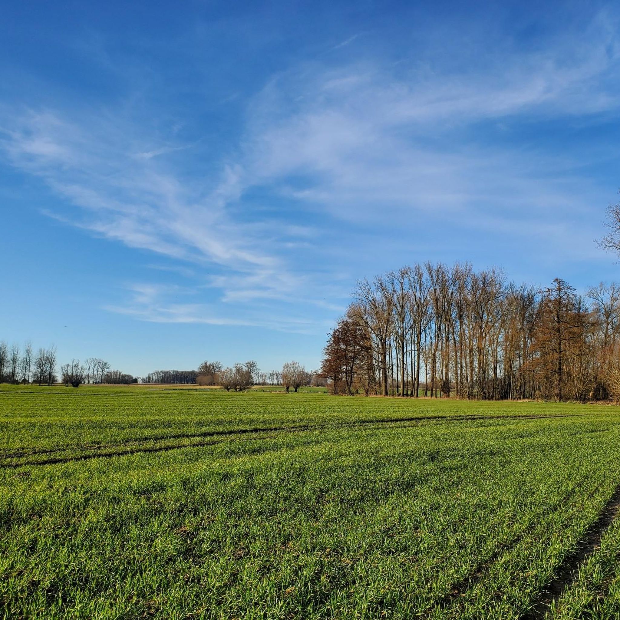
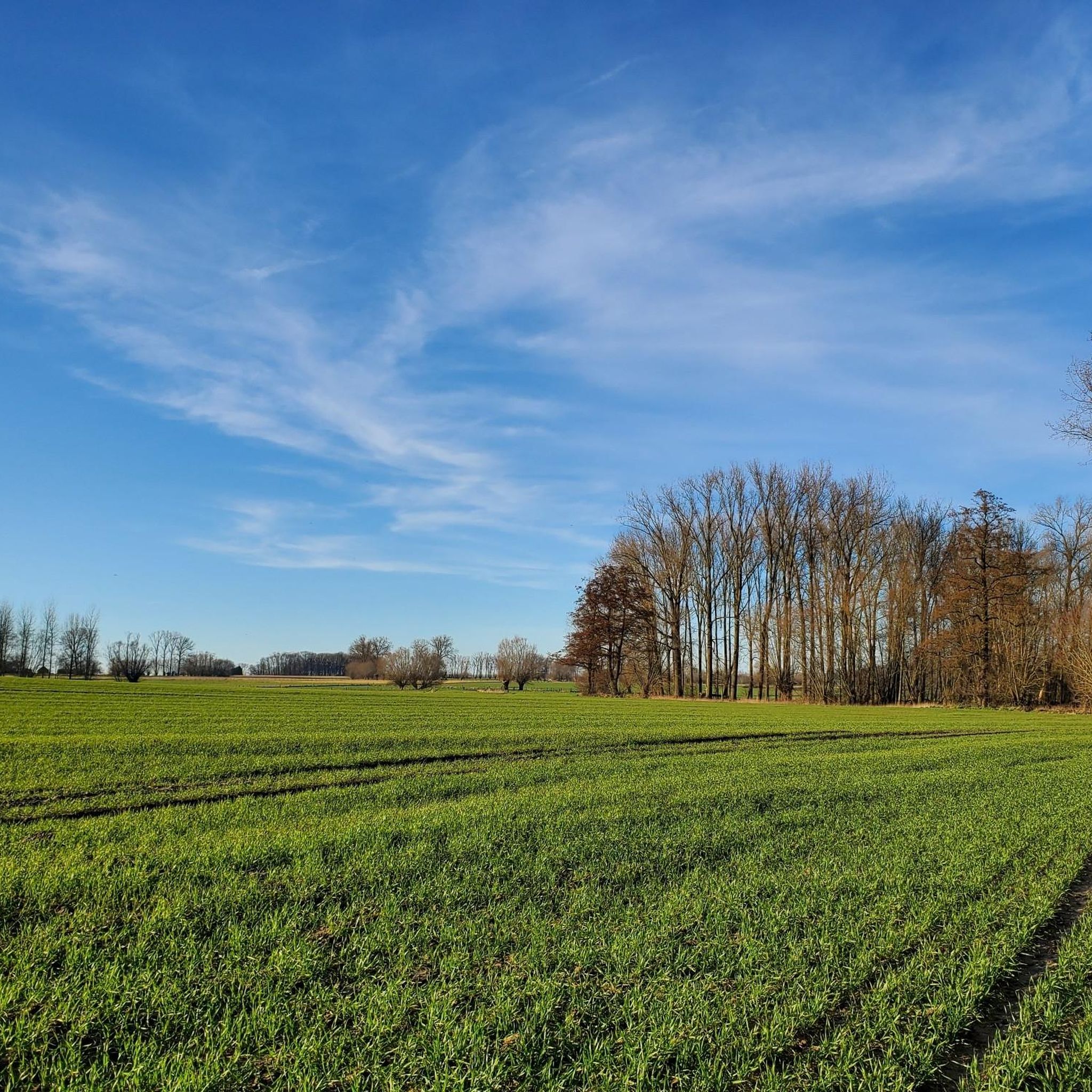
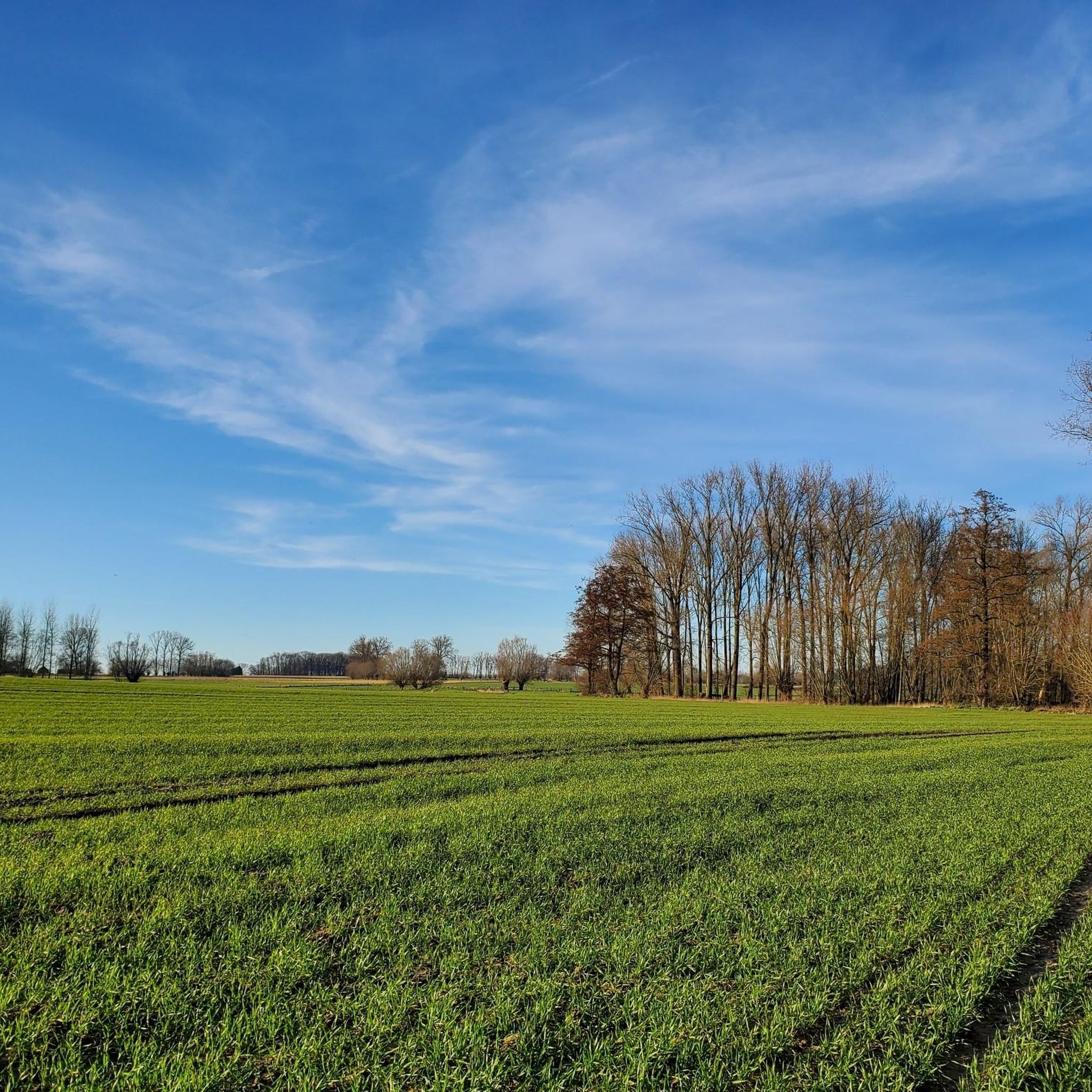
Tips from the Community

Congoberg is a climb in the Pajottenland region. The climb is 1.2 km long and covers 59 m of elevation gain with an average gradient of 4.9%, resulting in a difficulty rating of 34. The summit is 95 m above sea level.
7
0
The official climb begins on a concrete and rather flat surface. Suddenly, the forest appears, interspersed with cobblestones; that's where the real climb begins.
5
0
Once an icon in the Tour of Flanders, today an icon in the Omloop het Nieuwsblad.
7
0

At the orientation table (1928), you can enjoy a breathtaking view of the entire Dender Valley. In clear weather, you can even see Ninove, a town about 14 kilometers away.
7
0

Beautiful climb on Flemish cobblestones!
2
0

The orientation table indicates the altitude, 110 meters above sea level, and locates the surrounding villages. From the column, which originates from the oldest city wall, we have a panoramic view of the region. (Geraardsbergen.be)
14
0
The Grote Molenberg (95 meters) is an extension of the Oudenberg, known for the Krakelingenfeest and the Muur van Geraardsbergen. You look at a landscape with a high picturesque content. (Route You)
11
0

Frequently Asked Questions
What are some of the most prominent mountain peaks around Bever?
Bever is surrounded by several notable peaks in the Swiss Alps. These include Piz Julier, known for challenging mountaineering routes, Piz Ot, offering varied alpine terrain, and Piz Bever itself, standing at 3,230 meters (10,597 feet). The village also lies at the foot of Crasta Mora.
What kind of views can I expect from the mountain peaks near Bever?
The mountain peaks around Bever offer breathtaking panoramic vistas of the surrounding Swiss Alps. From high alpine passes and demanding summits, you can enjoy expansive views of the Engadin valley and the majestic high alpine terrain.
Are there challenging mountaineering routes available around Bever?
Yes, the region is primarily suited for experienced mountaineers seeking difficult routes. For example, the Fuorcla Albana (2870 m) – Piz Julier Summit loop is a challenging 9.6-kilometer trail requiring good fitness, sure-footedness, sturdy shoes, and alpine experience.
Are there any family-friendly hiking options near Bever's mountains?
While many routes are challenging, there are easier trails available. The Val Bever Fairy Tale Hike, an easy trail between Bever and Spinas, allows families to enjoy views of streams flowing from nearby mountains, including Crasta Mora.
What kind of wildlife can be observed in the mountains around Bever?
Hikers in the alpine surroundings near Bever's mountains can encounter local wildlife such as ibexes, marmots, and bearded vultures. The region's commitment to nature conservation helps preserve these natural habitats.
What is the best time to visit Bever for mountain activities?
The best time for alpine hiking and mountaineering around Bever is typically during the warmer months when trails are clear of snow and weather conditions are more stable. However, specific high-altitude trails may have seasonal access restrictions.
What outdoor activities can I do near the mountain peaks around Bever?
Bever serves as an excellent base for various outdoor activities. Besides mountaineering and hiking, you can explore the area by mountain biking. For more specific routes, check out guides like Hiking around Bever, Cycling around Bever, and Running Trails around Bever.
How accessible are the mountain areas around Bever by public transport?
Bever's central location in the Upper Engadine valley makes it well-connected. Public transport options are generally available to reach the village, which then serves as a gateway to various trailheads and mountain access points. Specific details for individual trailheads may vary.
What geological features make the landscape around Bever unique?
The landscape around Bever is characterized by spectacular geological features, including high alpine passes and demanding summit ascents. These formations contribute to the dramatic and diverse terrain found throughout the region.
Are there any specific hiking trails that lead to viewpoints or summits near Bever?
Yes, trails like the Alp Muntatsch – Piz Ot Summit Cross loop from Samedan offer routes through varied alpine terrain leading to significant peaks and viewpoints. These trails typically provide panoramic views of the surrounding area.
Most popular attractions around Bever

Get inspired with the komoot mobile app


Explore more
See even more amazing summits around Bever with these guides:
