Top 12 Lakes around Moorslede
Best lakes around Moorslede are primarily found in the surrounding West Flanders region of Belgium, as the municipality itself is not known for prominent natural lakes. The area features various water features, including historical ponds and recreational basins. These natural features Moorslede area provide opportunities for outdoor activities and offer insights into the region's past. Visitors can explore a mix of historical sites and natural landscapes near Moorslede.
Best lakes around Moorslede
- The most popular lakes is Zillebeke Pond,…
Last updated: August 10, 2026
Zillebeke Pond
Highlight • Lake
Translated by Google •
Tip by

Bergelen Provincial Domain
Highlight • Natural
Translated by Google •
Tip by

Sign up now to discover places like this
Get recommendations on the best single tracks, peaks, & plenty of other exciting outdoor places.
Sign up for free
Bissegem Plage
Highlight • Natural
Translated by Google •
Tip by

Round Basin
Highlight • Lake
The Grote Bassin was constructed in 1862 in the bed of the Mandel and the Kleine Bassin in the bed of the Sint-Amandsbeek. …
Translated by Google •
Tip by

Pond Park
Highlight (Segment) • Lake
It is clearly very popular among fishermen.
Translated by Google •
Tip by
Sign up for free to discover even more lakes around Moorslede.
Sign up for free
Already have an account?
Start today with a free account
Your next adventure awaits.
Login or Signup

Tips from the Community

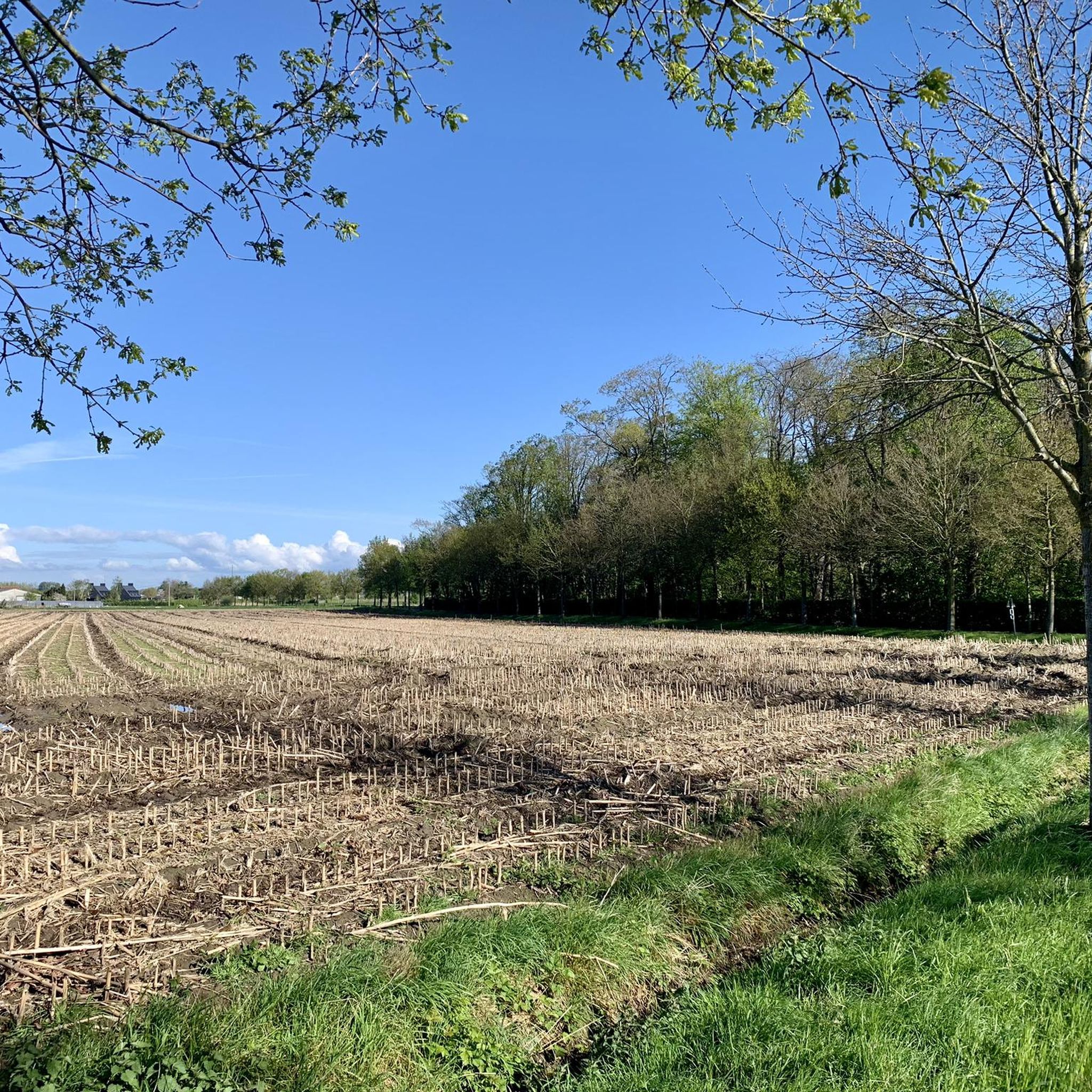
The Bergelen Provincial Estate in Wevelgem developed around a 10-hectare artificial sand extraction pit. The sand was used for the construction of the E403 (A17) motorway in the early 1970s. The municipality purchased this pit and surrounding land between 1989 and 1995. Various planting activities and numerous management works (reprofiling the banks, creating a water berm, building observation huts and walls, creating walking paths, constructing a bat shelter, digging ponds, etc.) were carried out by the municipal council. This created a small but very interesting nature reserve. In 1996, the farm and the 29 hectares of surrounding agricultural land were purchased by the province, and large parts of the newly acquired area were afforested. In 1999, the province entered into a lease with the municipality for the management of the Bergelen pit and its surroundings. This created the Bergelen Provincial Estate, which currently covers an area of 47 hectares. The Heulebeek stream flows along and through the estate, still following a largely natural course there. You'll also find the Bulskamphoeve, first mentioned in Gullegem in 1549. It's a historic farmstead whose horseshoe-shaped buildings are situated within the ramparts. The farmstead was destroyed several times during wartime and subsequently rebuilt or renovated. The current building is believed to date from 1775. A protected monument, the Meiboom, also stands in the area. This is a group of six lime trees with a large iron cross in the center. Source: wevelgem.be
4
0

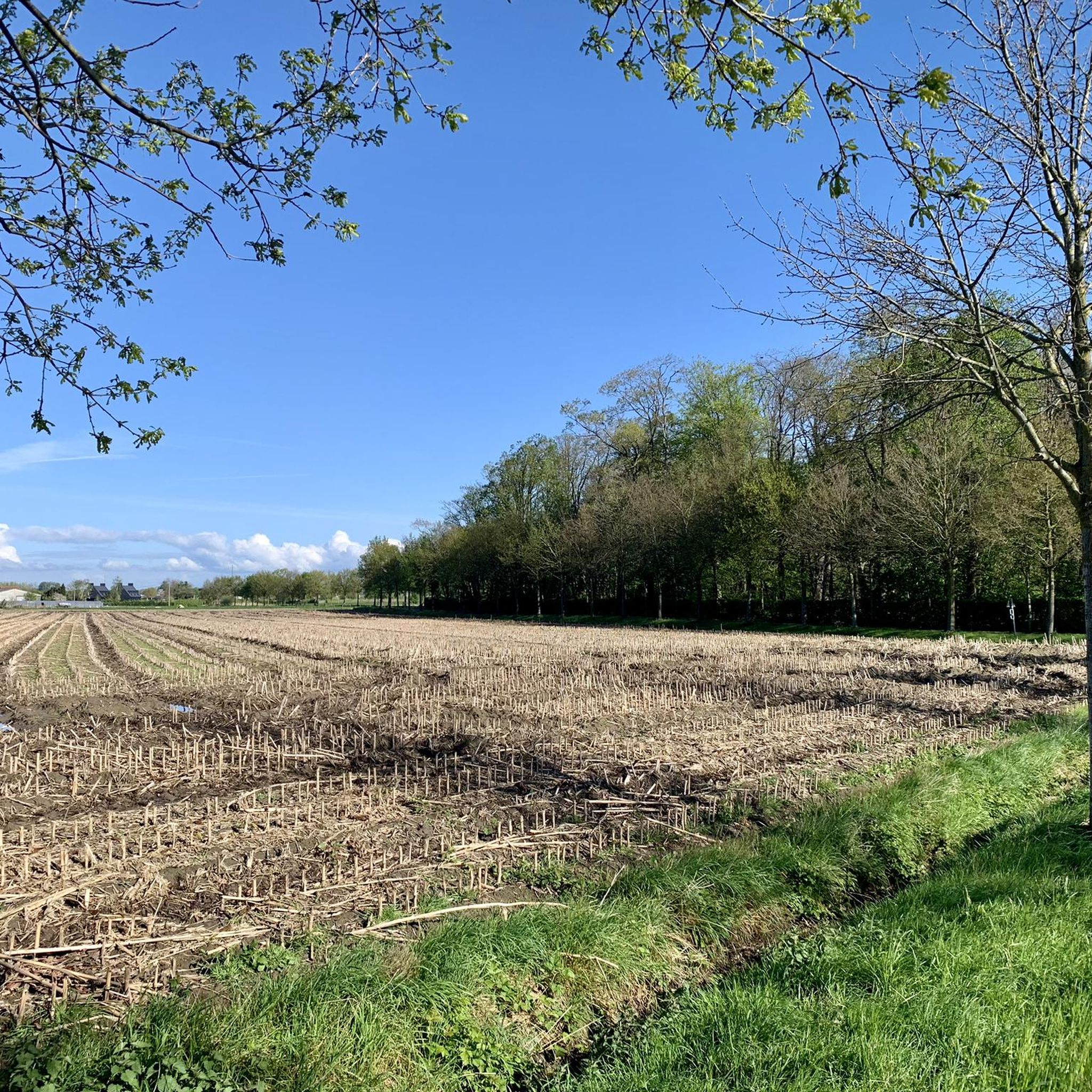
An interesting anecdote concerns the battles around the pond during the war. Soldiers used the pond as a natural barrier and shelter. There are stories of soldiers wading through the water at night to reach enemy lines, which gave the pond strategic significance.
7
0

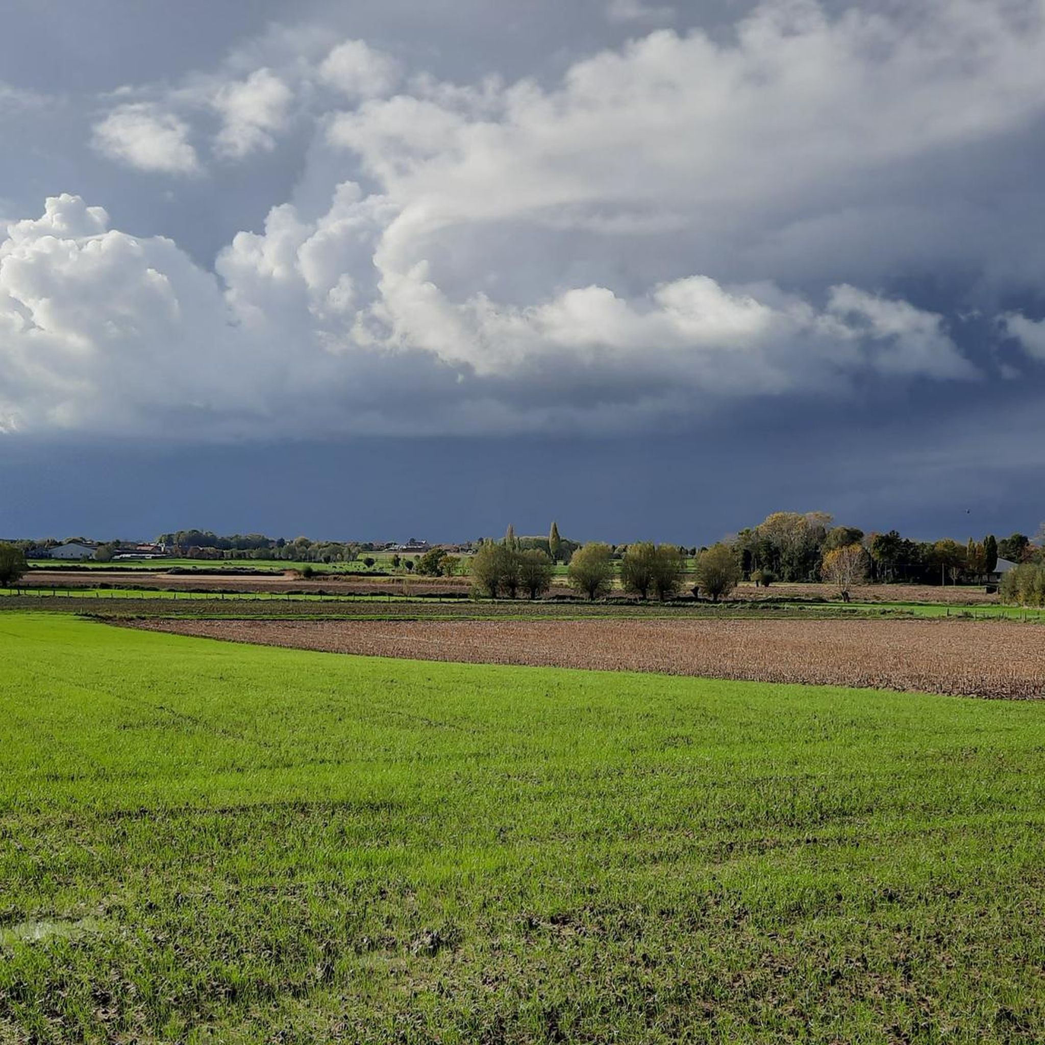
With the realisation of Bissegem Plage, Bissegem will gain an attractive and peaceful location. It will be a beautiful piece of nature of almost 10,000m² (1ha) that will be permanently free from construction. In this way, we will preserve the unique green character along the Leie. This will undoubtedly become one of the most beautiful parts of Bissegem. In this zone, we will set up a water buffer basin. We will collect all the rainwater from the Driekerkenstraat here. It concerns two buffer basins, one of which overflows into the other. They are a maximum of half a metre deep. The largest of the two will never be dry. A jetty (wooden terrace) will partly bridge this basin. Here, everyone can enjoy the peaceful atmosphere and the passage of large boats. We provide a connection with the cemetery. In a large part of the site, children can romp and play freely. This is also possible in the smallest buffer basin. (info City of Kortrijk)
2
0
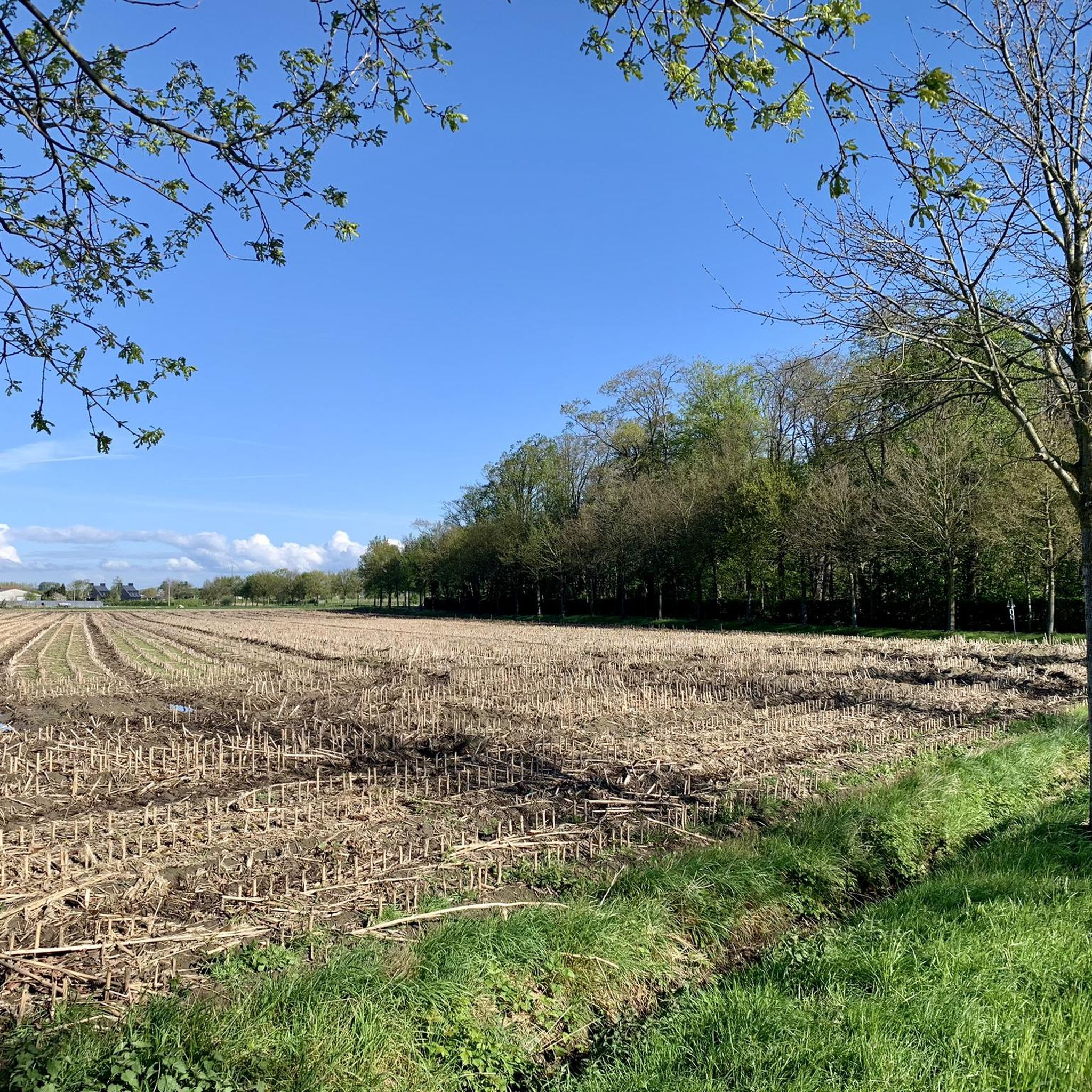
Small park (only a little more than 1 hectare), remnant of a domain that was once five times as large. It is clearly very popular among fishermen. The Pond Park was part of the castle park owned by the Cotteau de Patin family. The castle now houses the town hall. Originally, the pond was located between the castle and St. Paul's Church in an area of more than 5 hectares. The pond itself was much larger than it is now and was appropriately shaped like a swan. The park was opened to the general public once a year and could already receive recreational visitors avant la lettre. When the Ypres-Oostende railway was constructed in the second half of the 19th century, the domain was split almost in half and the pond was given a new and definitive location between the castle and the station. This railway line 63 was opened around 1873 (and remained in use until 1955).
1
0


At the beginning of the 14th century, Ypres was a very prosperous and densely populated city. Two ponds were constructed for water supply: one in Dikkebus and one in Zillebeke, and these ponds still provide Ypres with drinking water today. The 28-hectare Zillebeke Pond is fed by the Zillebeek stream. On the western bank lies the pumping and treatment plant, which produces approximately four to five thousand cubic meters of drinking water daily. The pond is surrounded by a beautiful double row of trees. Fishing is permitted with a special permit. The pond is a valuable natural feature. The large fields of water lilies are particularly picturesque. A colony of grebes breeds there, but grey herons, coots, moorhens, mallards, and sandpipers also call the pond home. During the migration season, the pond is frequently visited by numerous bird species. You can cycle and walk around the pond. Source: knooppunter.com/zillebekevijver
2
0
Old pond that supplies fresh water to the city of Ypres. Some explanation: The Dikkebus Pond is a pond near the village of Dikkebus, south of Ypres. On July 23, 1310, the City of Ypres received permission from the Count of Flanders to dig the pond, which, next to the Zillebeke Pond, was intended to ensure sufficient water in the city for fulling and dyeing cloth. The pond was created by damming the Kemmelbeek stream and was excavated on land belonging to the parishes of Vlamertinge, Dikkebus, and Voormezele. The expropriation of the necessary land was arranged by the city of Ypres and took about ten years. The thirty-six-hectare pond was not completed until around 1323. The pond supplied and still supplies Ypres with drinking water, initially via the Ypres canals and later via a system of oak pipes. Since 1926, this has been done via a modern pumping station. The Zillebeke Pond and Bellewaarde Pond were also created this way. Besides providing drinking water, the pond also serves a recreational purpose. Enjoy the shady banks at a moderate pace.
2
0
Old pond that supplies fresh water to the city of Ypres. Some explanation: The Dikkebusvijver is a pond near the village of Dikkebus, south of the city of Ypres. On July 23, 1310, the City of Ypres received permission from the Count of Flanders to dig the pond next to the Zillebeke pond to ensure that sufficient water was available in the city for fulling and dyeing sheets. The pond was created by damming the Kemmelbeek and was excavated on the grounds of the parishes of Vlamertinge, Dikkebus and Voormezele. The expropriation of the necessary land was arranged by the city of Ypres and took about ten years to complete. The pond of thirty-six hectares was not realized until around 1323. The pond provided and supplies Ypres with drinking water, formerly via the Ypres canals and then via a system of oak pipes. Since 1926 this has been done via a modern pumping station. The Zillebeke pond and Bellewaarde pond were also created in this way. In addition to the drinking water supply, the pond also has a recreational function. Enjoy the shaded banks at moderate speed.
4
0
Frequently Asked Questions
What are the main lakes or water features to explore near Moorslede?
While Moorslede itself doesn't have prominent natural lakes, the surrounding West Flanders region offers several notable water features. Key spots include the historically significant Zillebeke Pond, the natural Bissegem Plage, the redeveloped Round Basin, and the tranquil Pond Park.
Are there any lakes near Moorslede with historical significance?
Yes, Zillebeke Pond, located west of Ypres, is a prime example. Created in the 13th century to supply water to Ypres, it also played a role during World War I. Similarly, the Round Basin, dug around 1880, once served as a water reservoir for textile factories.
What kind of recreational activities can I do at Zillebeke Pond?
Zillebeke Pond is a natural landscape used for recreation. You can enjoy walking and cycling around the pond, which is surrounded by a beautiful double row of trees. Fishing is also permitted with a special permit.
Are there family-friendly water features near Moorslede?
Absolutely. Zillebeke Pond is considered family-friendly, offering space for walks. Bissegem Plage is designed with areas where children can romp and play freely. The Pond Park is also a pleasant spot for families.
Are there accessible trails or features for wheelchair users near these lakes?
Yes, the Round Basin has been redeveloped with accessibility in mind, featuring an access ramp for wheelchair users and prams, along with a wooden esplanade just above the water surface.
What natural features can I observe around Zillebeke Pond?
Zillebeke Pond is a valuable natural feature. You can see large fields of water lilies, and it's home to a colony of grebes, as well as grey herons, coots, moorhens, mallards, and sandpipers. During migration season, numerous other bird species visit the pond.
What outdoor activities, like hiking or cycling, can I do near the lakes around Moorslede?
The region around Moorslede offers various outdoor activities. For hiking, you can find routes like the 'Vierkavenbos loop' or the 'Dadizele Basilica – Pompeschitter Statue loop'. Cyclists can explore routes such as the 'Stroroute Passendale – Tyne Cot Cemetery loop'. For more options, you can explore the dedicated guides for hiking around Moorslede and cycling around Moorslede.
Is wild swimming permitted in the lakes near Moorslede?
Information regarding wild swimming in the lakes around Moorslede is not explicitly provided. Generally, it's advisable to check local regulations or signage at each specific location, as many ponds and basins may have restrictions due to their historical use, ecological sensitivity, or role in water supply.
What is the best time to visit the lakes and water features near Moorslede?
The lakes and water features near Moorslede can be enjoyed year-round. Spring and summer offer lush greenery and active wildlife, ideal for walking and cycling. Autumn provides beautiful foliage, while winter can offer tranquil, crisp walks, especially around places like Zillebeke Pond.
Are dogs allowed on trails around the lakes near Moorslede?
While specific regulations for each lake vary, many natural areas in Belgium are dog-friendly, often requiring dogs to be kept on a leash. It's recommended to look for local signage at each specific water feature, such as Zillebeke Pond or Pond Park, to confirm their pet policies.
What do visitors enjoy most about the water features near Moorslede?
Visitors appreciate the blend of historical context and natural beauty. The tranquility of places like Zillebeke Pond, its role in supplying drinking water to Ypres, and the opportunities for walking and cycling are frequently highlighted. The peaceful atmosphere and green character of Bissegem Plage also receive positive feedback.
Most popular routes around Moorslede
Most popular attractions around Moorslede

Get inspired with the komoot mobile app


Explore more
Still not found your perfect lake around Moorslede? Check out the guides of these regions to see even more beautiful places.
