The 4 Most Amazing Peaks around Somma Lombardo
Best mountain peaks around Somma Lombardo are found in the province of Varese, Lombardy, Italy, a region characterized by its proximity to diverse natural landscapes. While the town itself has an average elevation of 245 meters, the surrounding areas offer various mountain ranges and outdoor activity zones. The region provides access to hiking trails along the Ticino River and canals, as well as more challenging alpine treks in nearby mountain ranges. These areas cater to different fitness levels and interests,…
Last updated: October 3, 2026
Monte San Giacomo Summit and Stone Platform
Highlight • Summit
It has had a strategic importance since ancient …
Translated by Google •
Tip by

Monte Pelada (472 m)
Highlight • Summit
Translated by Google •
Tip by
Sign up now to discover places like this
Get recommendations on the best single tracks, peaks, & plenty of other exciting outdoor places.
Sass Malò
Highlight • Natural Monument
Translated by Google •
Tip by

Summit of Monte San Giacomo
Highlight • Summit
Translated by Google •
Tip by

Monte San Giacomo Nature Reserve
Highlight • Forest
Translated by Google •
Tip by

Start today with a free account
Your next adventure awaits.

Other adventures around Somma Lombardo

Tips from the Community

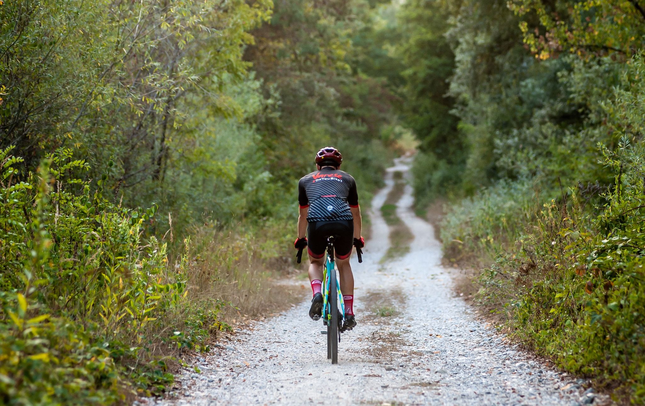
The climb from Mercallo is very challenging, even for an e-mtb, full of roots, rocks and ruts left by the rain. From Comabbio or Osmate the climb is much easier, also because it is asphalted up to halfway
0
4

Monte San Giacomo is the highest point of the Ticino Park (427 m) and rises at the foot of the Varesine Prealps. It has had a strategic importance since ancient times: the top of the mountain has annular terraces made up of dry stone walls that make one think of defense ditches of an Iron Age hillfort and there are also traces of prehistoric settlements.
2
0
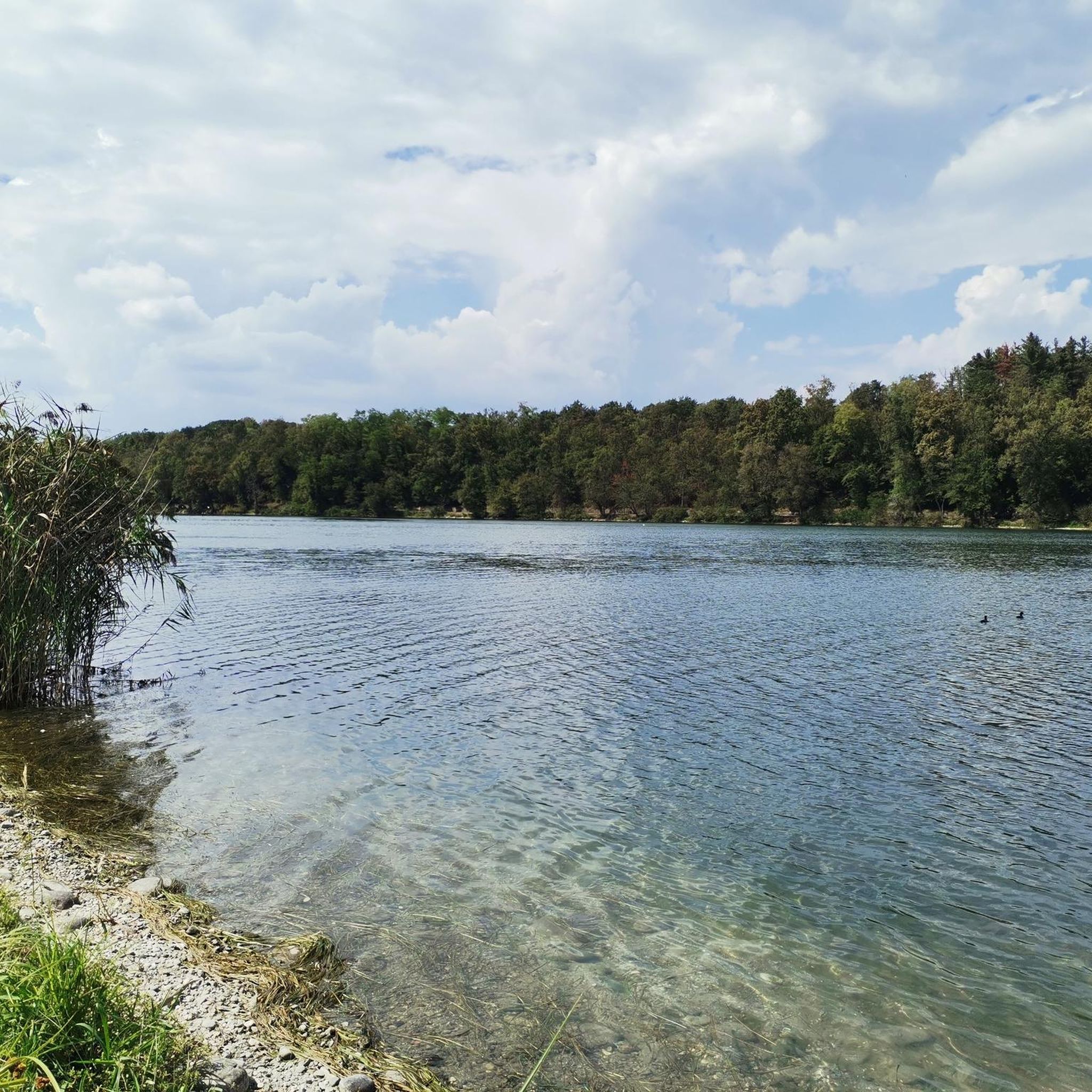
Monte Pelada is a small mountain that rises above Lake Comabbio. You reach its peak (472 m) remaining in the undergrowth, but you can see some glimpses of the lake, between the trees.
2
1

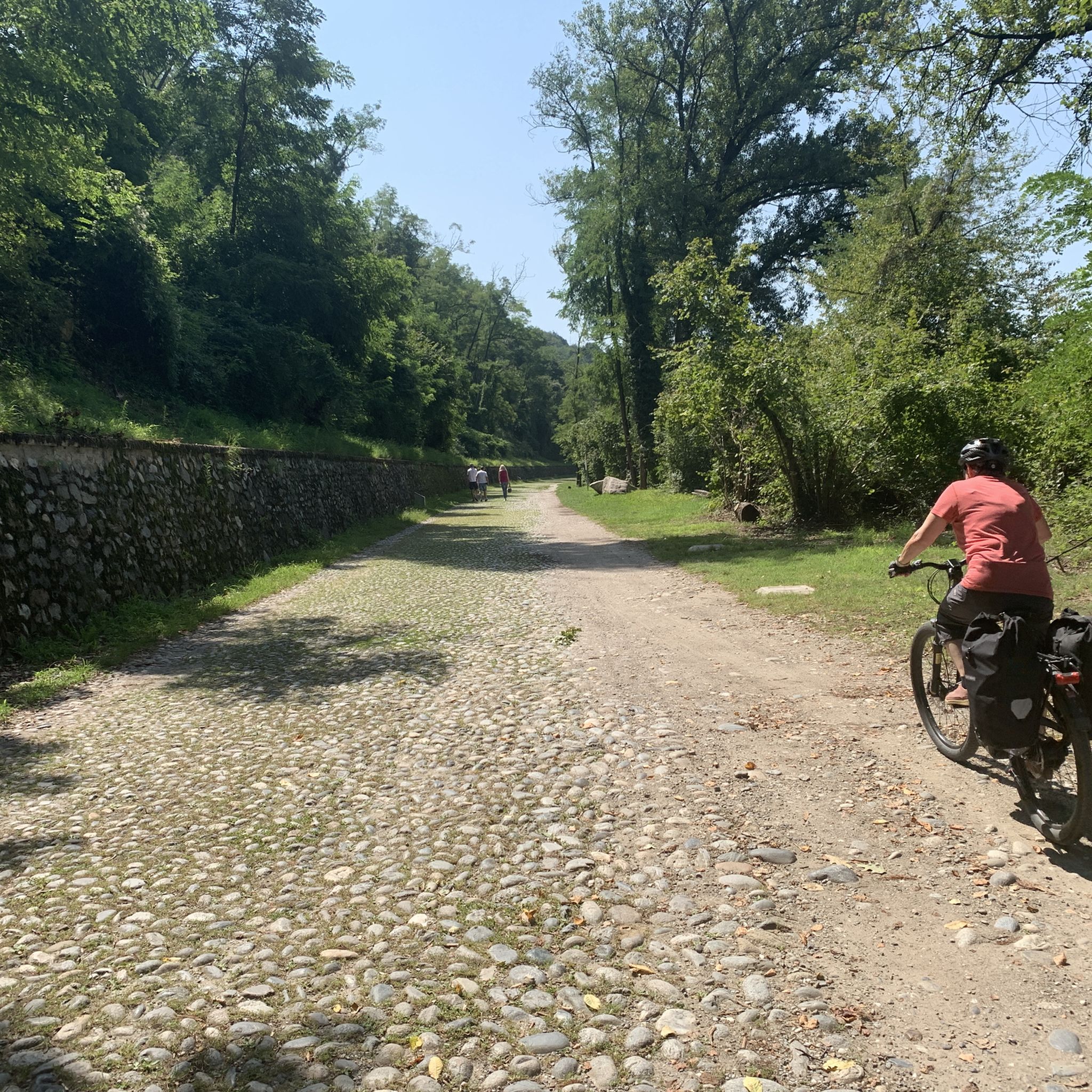
Excellent crossing point a few minutes from the summit of the mountain which I recommend for those who have a MTB. Staying on this main path is also excellent for cycle touring.
1
0

Mount San Giacomo is the highest point in the Ticino Park. Very well kept and quiet place for walks in the woods. Also widely used for MTB.
0
0


Sass Malò is an erratic boulder whose legend tells that it was transported by witches during a flood and there is the den of the witch who eats matai (eats children).
2
0
The ruins are those of an ancient bar with an icebox, a terrace above and, even higher up, a round stone table which in summer was covered with a gazebo. By scanning the QR code you can read further information on this site.
0
3
Frequently Asked Questions
What are some notable mountain peaks and natural features near Somma Lombardo?
While Somma Lombardo itself is not known for prominent peaks, the surrounding region offers several interesting natural features. You can explore Monte San Giacomo Summit and Stone Platform, the highest point of the Ticino Park at 427 meters, which also holds historical significance with traces of prehistoric settlements. Another unique spot is Sass Malò, an erratic boulder steeped in local legends. For lake views, consider Monte Pelada (472 m), which rises above Lake Comabbio.
Are there hiking trails suitable for different skill levels near Somma Lombardo?
Yes, the area around Somma Lombardo offers a variety of hiking trails. The Ticino Valley and Panperduto Dam area feature trails ranging from easy to hard. For example, the "Sentiero Strona" is a moderate 6.4-mile loop from Somma Lombardo. More challenging options include a 22.3 km loop from Somma Lombardo to the Panperduto Dam, requiring good fitness. For a comprehensive list of routes, check out the Hiking around Somma Lombardo guide.
What historical or cultural landmarks can be found on mountain peaks near Somma Lombardo?
The Monte San Giacomo Summit and Stone Platform is a significant historical site. It was strategically important in ancient times, featuring annular terraces that suggest Iron Age defense ditches and traces of prehistoric settlements. The summit also has ruins of an ancient bar with an icebox and a round stone table, offering a glimpse into its past.
What are the best viewpoints to experience the natural beauty of the Ticino Valley near Somma Lombardo?
The Ticino Valley offers several scenic viewpoints. From Monte San Giacomo Summit and Stone Platform, you can enjoy expansive views of the Ticino Park. While hiking Monte Pelada (472 m), you'll catch glimpses of Lake Comabbio through the trees. The Panperduto Dam area also provides picturesque views along the Ticino River and its canals.
Are there any family-friendly or dog-friendly hiking trails around Somma Lombardo?
The Ticino Valley offers trails that can be suitable for families and dogs, particularly the easier sections along the Ticino River and canals. The "Sentiero Strona" is a moderate loop that can be enjoyed by those looking for a pleasant walk through woodlands. Always ensure your dog is on a leash and check local regulations for specific trail access.
What is the best time to visit the Ticino Valley and surrounding mountains for hiking?
The best time to visit the Ticino Valley and nearby mountain areas for hiking is generally during spring and autumn when the weather is mild and comfortable. Summer can also be pleasant, especially in the mornings or late afternoons, though some trails might be warmer. Winter hiking is possible, but some higher alpine areas may require specific gear due to snow and ice.
Where can I find more challenging mountain climbs near Somma Lombardo?
For more challenging alpine treks, you'll need to venture a bit further from Somma Lombardo. The Somma Lombardo Mountain Hut (Rifugio Somma Lombardo), located at 2561 meters in Val D'Ossola, offers a demanding hike starting from Morasco, passing Lake Morasco and climbing the Sabbione Alp valley. From the hut, you can admire views of the Sabbione lake basin and the Arbola glacier, ideal for experienced hikers seeking alpine scenery.
What other outdoor activities can I do near the mountain peaks around Somma Lombardo?
Beyond hiking, the region around Somma Lombardo is excellent for cycling. You can find numerous routes for touring bicycles and road cycling. Explore options like the "Lake Comabbio – Gavirate Bridge loop" or the "Between the Lakes of Monate, Varese, Comabbio and Maggiore loop tour." For detailed routes, refer to the Cycling around Somma Lombardo and Road Cycling Routes around Somma Lombardo guides.
Are there any mountain ranges or natural parks close to Somma Lombardo for further exploration?
Yes, several significant natural areas are within reach. The Campo dei Fiori mountain range in the province of Varese, reaching 1,227 meters, offers various trails. Further afield, the Grigne Mountains, near Milan, are known for their impressive limestone peaks and diverse hiking options. Lake Maggiore also provides access to Val Grande National Park, Italy's largest wilderness area, with stunning trails in the Alps and Pre-Alps.
What do visitors appreciate most about the mountain peaks and natural areas near Somma Lombardo?
Visitors particularly enjoy the blend of natural beauty and historical significance. The tranquility of places like Monte San Giacomo Summit and Stone Platform, with its well-kept paths and historical traces, is highly valued. The scenic views, especially glimpses of Lake Comabbio from Monte Pelada (472 m), are also a highlight. The komoot community has shown appreciation with 51 upvotes and 18 photos shared, reflecting the area's appeal for exploration and photography.
How accessible are the hiking trails near the Panperduto Dam from Somma Lombardo?
The Panperduto Dam area is quite accessible for hiking. You can find trails like the "From the Panperduto dam to the Ansa di Castelnovate – loop tour" (moderate, 14.6 km) or the "Pan Perduto Dam – Panperduto Dam loop" (easy, 7.3 km). These routes are popular starting points for exploring the Ticino River and canals. Parking is generally available near the dam, and public transport options to the general area can be researched for specific routes.
Most popular routes around Somma Lombardo
Most popular attractions around Somma Lombardo

Get inspired with the komoot mobile app


Explore more
See even more amazing summits around Somma Lombardo with these guides:
