The 4 Most Amazing Peaks around Lioni
Mountain peaks around Lioni are situated within the Monti Picentini natural park, an area known for its diverse peaks, lush forests, and scenic landscapes. Lioni, located in the western Irpinia region of Campania, Italy, serves as a base for exploring these mountains. The region offers varied terrain, characterized by limestone and dolomite formations, extensive forests, and numerous rivers. This natural setting provides opportunities for outdoor activities across different skill levels.
Best mountain peaks around Lioni
- The most popular mountain peaks…
Last updated: October 3, 2026
Monte Cervialto
Highlight • Summit
Translated by Google •
Tip by

On the ridge of Mount Altillo
Highlight • Summit
Translated by Google •
Tip by

Sign up now to discover places like this
Get recommendations on the best single tracks, peaks, & plenty of other exciting outdoor places.
The cross on Mount Altillo
Highlight • Summit
Translated by Google •
Tip by
Monte Cervarolo Summit, 1,563 m
Highlight • Summit
Showing Translation
Tip by
On the summit of Mount Pollàro
Highlight • Summit
The ascent from Calabritto is quite challenging.
Mountaineering experience and appropriate clothing are required.
Translated by Google •
Tip by
Start today with a free account
Your next adventure awaits.


Tips from the Community

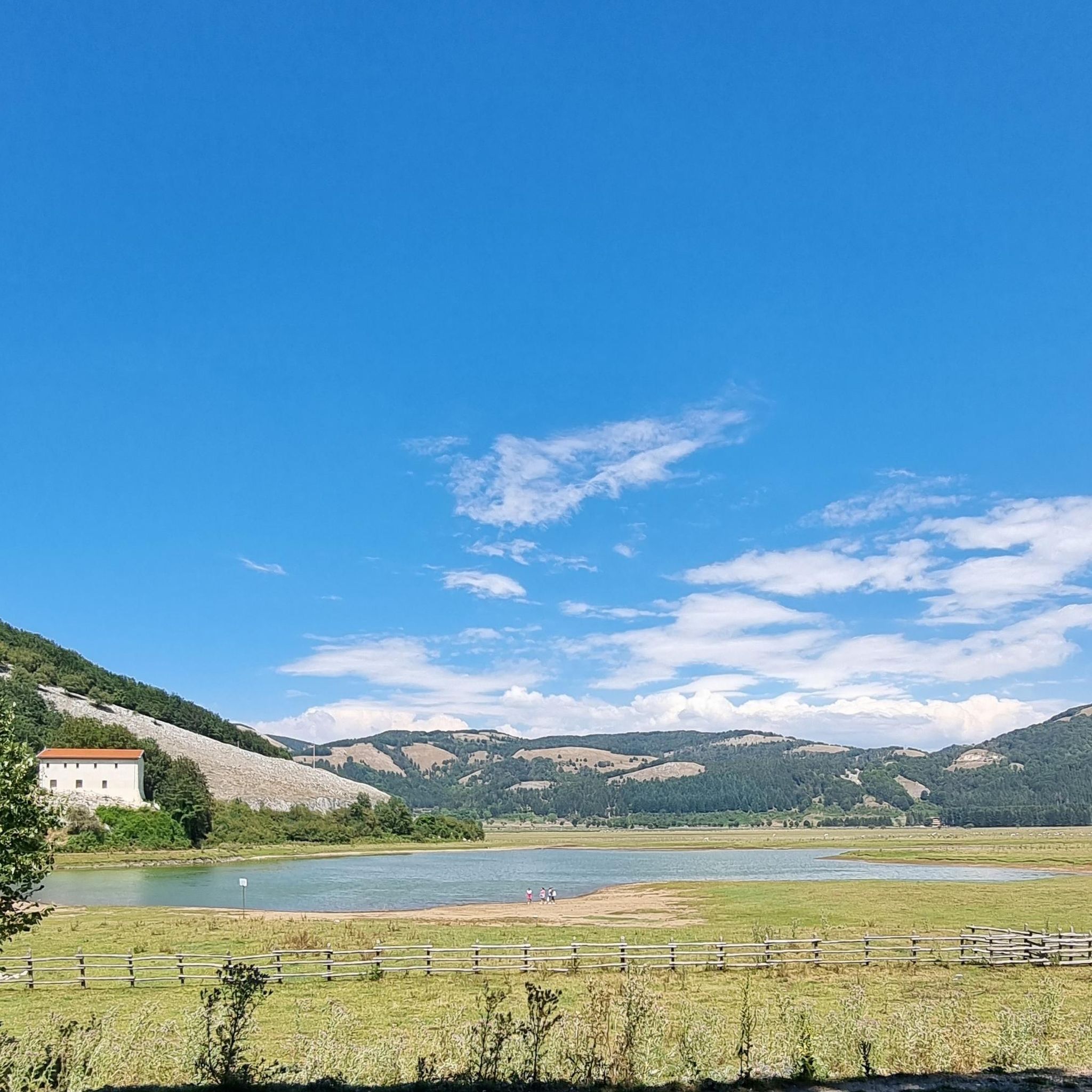
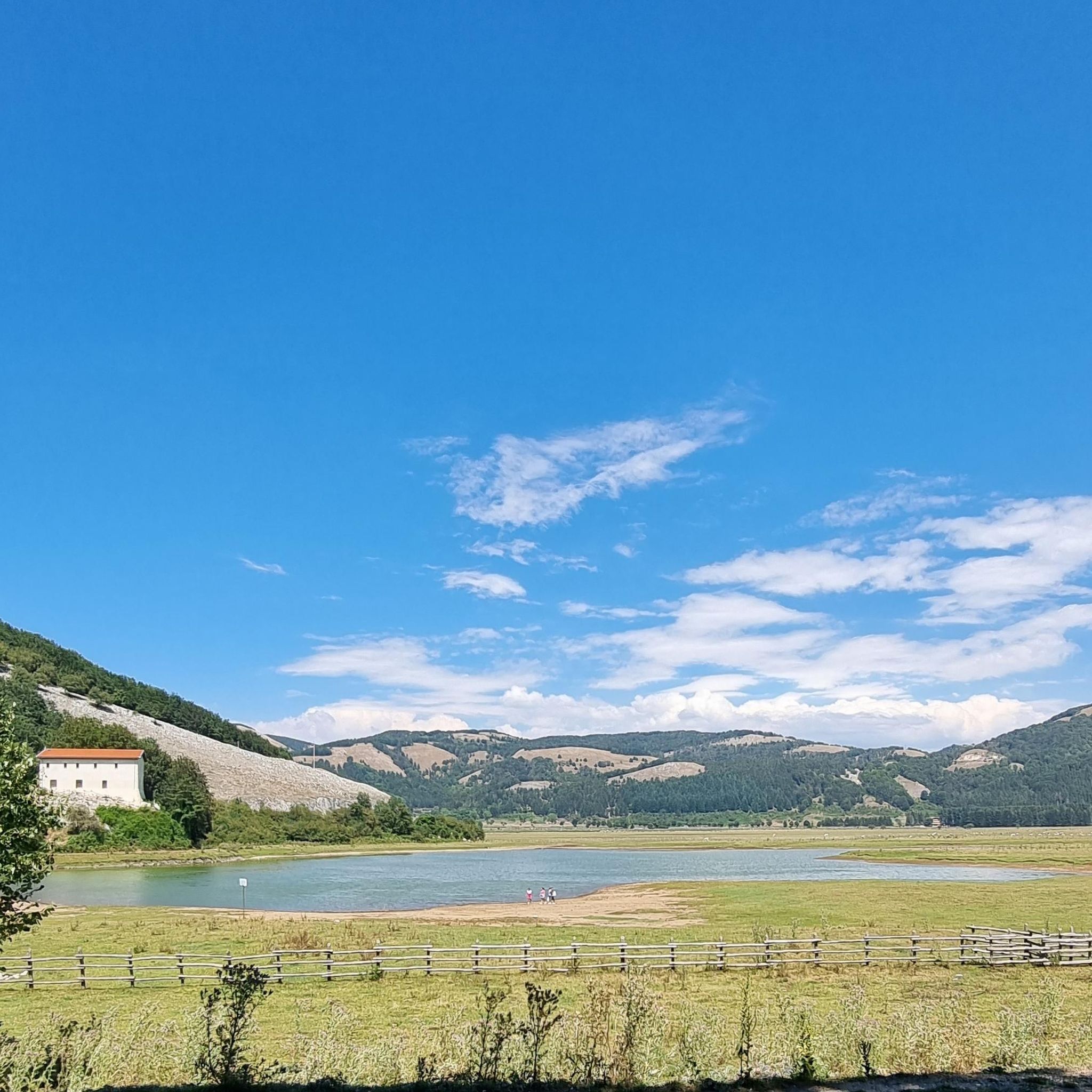
Monte Cervarolo is a peak in the Monti Picentini mountains, located at an altitude of 1,563 meters, within the municipal territory of Bagnoli Irpino (AV), a short distance from the renowned Lago Laceno plateau. It is a much-loved destination for hiking and trekking enthusiasts, and in winter, for snowshoeing. The most common route is a loop that allows you to enjoy a 360° panoramic view of the Laceno plateau, Monte Rajamagra, and the surrounding mountains. Once the summit is reached, the view spans across the entire Campanian Apennines. On clear days, the panorama opens imposingly onto Monte Cervialto, Monte Calvello, and Monte Polveracchio.
2
0
Cervialto represents the highest peak of the Picentini mountains and is the fourth highest peak in Campania after La Gallinola in Matese (1923 meters), Cervati (1899 meters) and Mutria (1823 meters), as well as the largest in the province of Avellino. The mountain extends between the municipalities of Calabritto and Bagnoli Irpino. The summit is the border point between the two municipalities. The characteristic summit sinkhole between the summit and the sub-peak falls within the municipality of Bagnoli Irpino (IGM 1:25,000). Cervialto is known above all thanks to its proximity to the Laceno plateau (Laceno lake), a well-known tourist destination, from which it is 3.6 km away. Cervialto is surrounded by Mount Rajamagra (1,667 m) where there are ski lifts, by Mount Cervarolo, by Mount Piscacca or Magnone, by Montagnone di Nusco, by Cervarulo, by Calvello and, on the Salernitano side, by the Polveracchio massif. The Colle del Leone, the Ripe del Moggio, the Montagna Grande and the Colle del Sagrestano form the backdrop to the series of "high mountains". On one of the peaks, there is the radio station of the Firefighters of the Lioni section. ... https://it.wikipedia.org/wiki/Monte_Cervialto
1
0
Beautiful views from the summit of Mount Pollaro. The ascent from Calabritto is quite challenging. Mountaineering experience and appropriate clothing are required.
1
0

Monte Cervialto with its 1809 m above sea level is the highest peak in the Picentini area. From the summit you can enjoy a spectacular panorama from the Tyrrhenian Sea to the peaks of the Lattari Mountains, from the Amalfi Coast to the Alburni Mountains, from the top of Monte Cervati in Cilento to the other peaks of the Picentini.
5
0
Trekking clothing and footwear are required as well as sufficient experience.
4
0
The municipality of Calabritto is dominated by Monte Altillo (1563 meters) which dominates the Sele Valley. To reach the top you have to cross beautiful chestnut and beech woods with moderate slopes. The climb starts from the sanctuary of the Madonna della Neve located a little less than a thousand meters above sea level. where you can park your cars. In the distance you can see the Lattari mountains of the Amalfi coast with the unmistakable silhouette of Sant'Angelo ai Tre Pizzi. The journey can be difficult and tiring for novice hikers, so the presence of expert hikers is strongly recommended. https://www.walking-trekking.it/monte-Altillo.htm#:~:text=The%20town%20of%20Calabritto%20%C3%A8,of%20beech%20with%20discrete%20slopes.
4
0
The municipality of Calabritto is dominated by Monte Altillo (1563 meters) which dominates the Sele Valley. To reach the top you have to cross beautiful chestnut and beech woods with moderate slopes. The climb starts from the sanctuary of the Madonna della Neve located a little less than a thousand meters above sea level. where you can park your cars. In the distance you can see the Lattari mountains of the Amalfi coast with the unmistakable silhouette of Sant'Angelo ai Tre Pizzi. The journey can be difficult and tiring for novice hikers, so the presence of expert hikers is strongly recommended. https://www.walking-trekking.it/monte-Altillo.htm#:~:text=The%20town%20of%20Calabritto%20%C3%A8,of%20beech%20with%20discrete%20slopes.
4
0
Frequently Asked Questions
What are some of the most prominent mountain peaks to explore around Lioni?
The region around Lioni, nestled within the Monti Picentini natural park, offers several notable peaks. Among them are Monte Cervialto, the highest in the Picentini area, and Monte Terminio, the second highest. Other significant peaks include Pizzo San Michele, known for its sanctuary, and Monte Mai, offering extensive vistas. You can also explore Monte Cervialto, Monte Altillo, and Monte Cervarolo.
Are there challenging hikes for experienced trekkers in the Lioni area?
Yes, several peaks offer challenging ascents. For instance, the climb to Monte Cervialto requires very good fitness and alpine experience. Similarly, reaching the summit of Monte Altillo can be difficult and tiring for novice hikers, requiring trekking clothing, footwear, and sufficient experience. The ascent to Mount Pollàro from Calabritto is also quite challenging, requiring mountaineering experience and appropriate clothing.
What kind of panoramic views can I expect from the mountain peaks near Lioni?
The peaks around Lioni offer breathtaking panoramic views. From the summit of Monte Cervialto, you can enjoy a spectacular panorama stretching from the Tyrrhenian Sea to the Lattari Mountains, the Amalfi Coast, and other Picentini peaks. Pizzo San Michele provides a remarkable 360° view overlooking Campania, while Monte Mai offers vistas of the Gulf of Salerno, Mount Vesuvius, and the highest peaks of the Picentini Mountains. From Monte Cervarolo, you can see the Laceno plateau, Monte Rajamagra, and the entire Campanian Apennines.
Are there any family-friendly or easier mountain walks around Lioni?
While many peaks offer challenging routes, the Monti Picentini Regional Park features varied terrain suitable for different hiking abilities. The region offers easy walks traversing dense forests of beech, turkey oak, and chestnut trees, often alongside rivers and streams. For a moderate hike, consider the Madonna del Fiume Trail, or the Tuorno Waterfall Trail for an easy option.
What is the highest peak in the Picentini area near Lioni?
The highest peak in the Picentini area is Monte Cervialto, standing at 1809 meters above sea level. It is also the largest peak in the province of Avellino and the fourth highest in Campania.
What outdoor activities, besides hiking, are available near the Lioni peaks?
Beyond hiking, the Lioni area offers excellent opportunities for cycling. You can find various road cycling routes, such as the Drinking Water Fountain – Ruspoli Castle of Candriano loop, or the challenging Abbey of Goleto – Laceno Lake loop. For touring bicycles, there are routes like the Morra De Sanctis – View of Guardia dei Lombardi loop.
What natural features characterize the Monti Picentini Regional Park?
The Monti Picentini Regional Park, which encompasses the peaks around Lioni, is characterized by its limestone and dolomite rock formations, extensive forests of beech, turkey oak, and chestnut trees, and a network of rivers and streams. The diverse landscapes create a vital "green lung" within the park, offering rich natural beauty.
When is the best time to hike the Lioni mountains?
The Monti Picentini region offers rewarding experiences throughout much of the year. Spring and autumn generally provide pleasant temperatures and vibrant scenery, with lush greenery in spring and colorful foliage in autumn. Summer can be warm, but higher altitudes offer cooler air. Winter can bring snow, making some routes suitable for snowshoeing, particularly around peaks like Monte Cervarolo.
Are there any specific tips for parking near trailheads for the Lioni peaks?
For some popular ascents, parking is available near the starting points. For example, to reach Monte Altillo, you can park your car at the sanctuary of the Madonna della Neve, located a little less than a thousand meters above sea level.
Can I spot wildlife while hiking in the Lioni mountain region?
The Monti Picentini Regional Park is known for its diverse natural environment, including lush forests and varied landscapes. While specific wildlife sightings are not guaranteed, the park's rich ecosystem provides opportunities for observing local fauna in their natural habitat, especially in quieter areas and during less busy times.
Are there any circular hiking routes available near Lioni?
Yes, there are circular hiking routes in the area. For instance, a popular route for Monte Cervarolo is a loop that allows you to enjoy a 360° panoramic view of the Laceno plateau and surrounding mountains. Another option is the Rifugio Canadese – loop tour in the Parco Regionale dei Monti Picentini.
Most popular attractions around Lioni

Get inspired with the komoot mobile app


Explore more
See even more amazing summits around Lioni with these guides:
