Top 20 Caves around Torrebelvicino
Best caves around Torrebelvicino are located in the municipality of Vicenza, Italy, offering a blend of natural formations and historical significance. The area's subterranean features are often integrated into historical-naturalistic trails, providing insights into past water management and defensive strategies. These landmarks and natural features in the Torrebelvicino area contribute to the region's appeal for outdoor exploration. The landscape is characterized by valleys and mountainous terrain, with various accessible subterranean sites.
Best caves around Torrebelvicino
- The most popular caves is…
Last updated: October 3, 2026
Street of Heroes
Highlight (Segment) • Trail
Translated by Google •
Tip by

Papalini Waterfall
Highlight • Waterfall
Translated by Google •
Tip by

Sign up now to discover places like this
Get recommendations on the best single tracks, peaks, & plenty of other exciting outdoor places.
Command Saddle
Highlight • Historical Site
Translated by Google •
Tip by

Buso della Rana Cave
Highlight • Cave
Translated by Google •
Tip by

Buso delle Anguane Cave
Highlight • Cave
Translated by Google •
Tip by
Sign up for free to discover even more caves around Torrebelvicino.
Already have an account?
Start today with a free account
Your next adventure awaits.
Tips from the Community

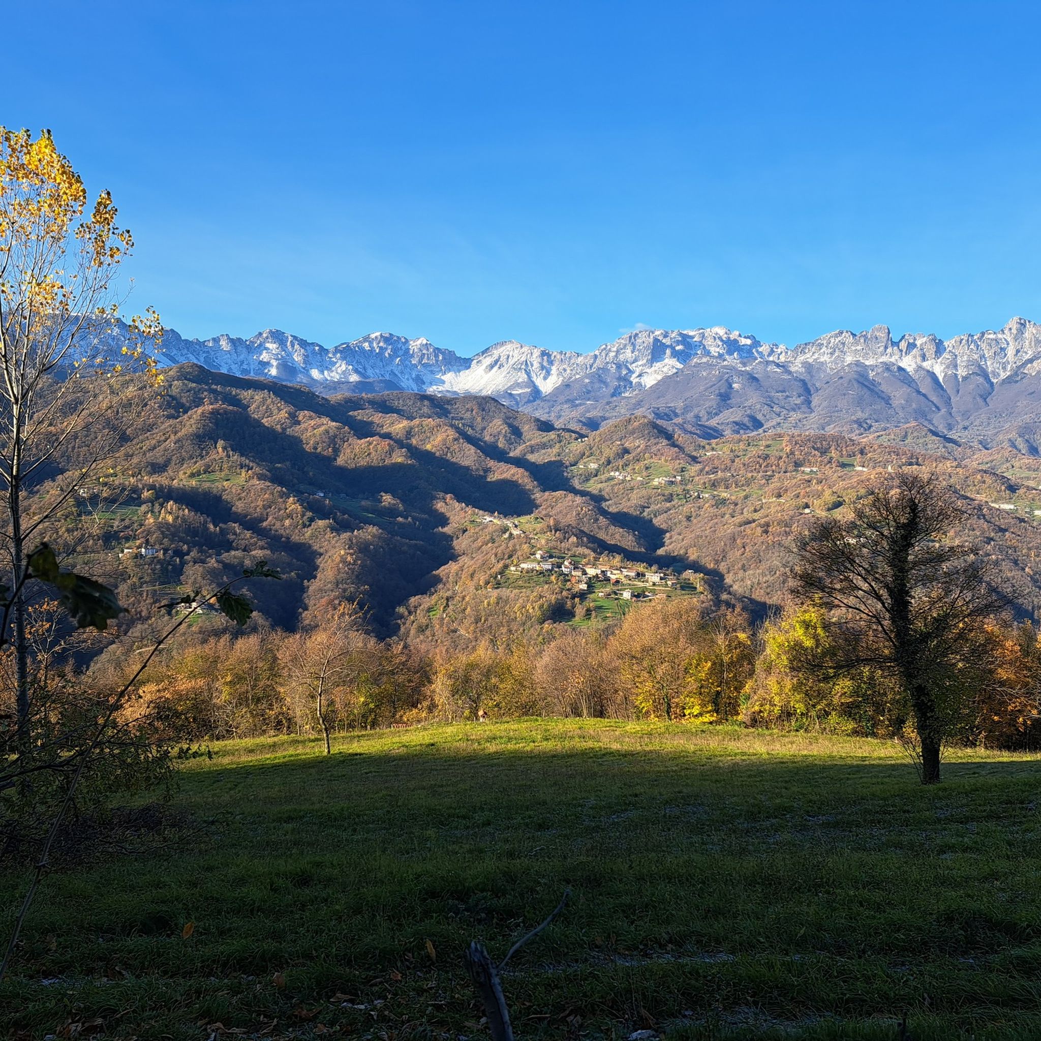
During the First World War, the Selletta Comando was a particularly critical and delicate point of the Italian defense line: its collapse could have allowed the Austro-Hungarian army to break through the Italian defenses. The area was subjected to incessant bombardments by imperial artillery, to the point that it was impossible to keep it stably occupied by troops: the soldiers took shelter in the numerous caves or in the masonry barracks built in more sheltered positions. On the Italian side, just behind the Selletta, was the Sector Command, housed in a large cave reinforced with reinforced concrete. A long trench came from Cima Palon and continued along the ridge towards Corno del Pasubio and Nodo d’Aquila, forming a frontline barrier. The position was also effectively defended by the crossfire of light artillery and machine guns positioned on both the Palon and the Corno.
0
0
The Buso della Rana is the largest cave in the Veneto region and one of the most extensive in Italy, with a network of caves stretching almost 30 km in total (40 km including the Pissatèla complex above, to which it is connected). Located beneath the Faedo-Casaròn Plateau, it is an intricate karst system that collects and channels the plateau's waters into the Rio Rana, which flows at the entrance. It was formed when rainwater seeps into the permeable limestone surface layer and, encountering the underlying impermeable basalt (volcanic rock), flows laterally, eroding the rock. Over millions of years, this has created a complex labyrinth of horizontal tunnels, chambers, chimneys, siphons, and small lakes traversed by underground streams. Because it drains the plateau's waters, the cave is subject to flash floods, making exploration treacherous. Inside, the temperature remains constant between 10 and 12°C year-round. It is freely accessible through the monumental entrance and by proceeding along the Main Branch for about fifty meters, until reaching the first flooded corridor or Siphon, a horizontal constriction that requires crawling. From there, it is the preserve of speleologists or exciting and adventurous guided tours organized by associations like Biosphera (see link). The internal branches are not marked, and one must know the way. The name of the cave has nothing to do with the amphibian, but is an Italianized term from the Cimbrian word "roan," meaning "rocky wall," referring to the cliff at the entrance. https://www.busodellarana.it https://esplora.biosphaera.it/luoghi/buso-della-rana/
0
0

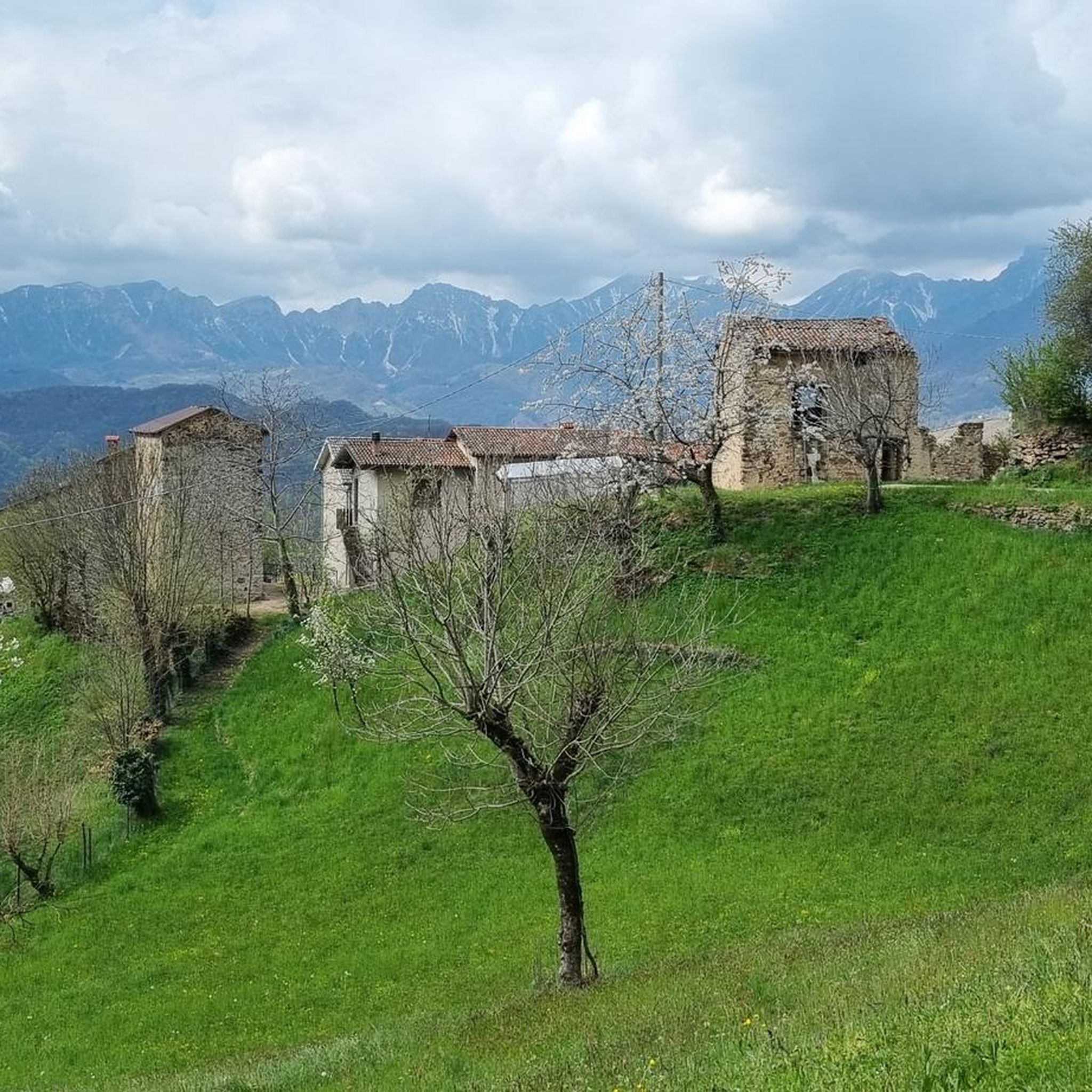
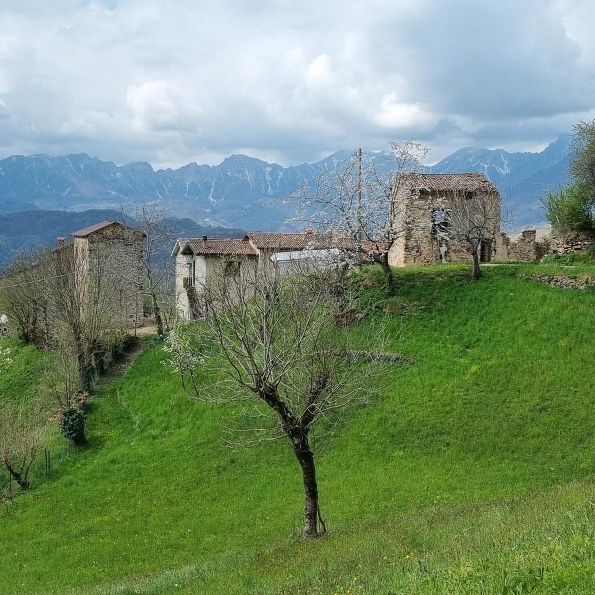
The Buso delle Anguane is a fascinating cave in the rock with a natural balcony overlooking the Chiampo Valley: a place of mystery and legends, in ancient folk tales it was the home of the anguane, evil creatures that attracted men with their comely appearance. https://it.wikipedia.org/wiki/Anguana The path to reach the cave is quite impervious and challenging, not very visible and not signposted along the asphalt road.
0
0
The Cascata dei Papalini suddenly appears in a small clearing in the heart of the forest, along the path: over time the falling water has formed a columnar deposit of gray limestone that descends like a drape and that partly acts as a springboard for the jet. But the peculiarity and spectacular nature of this waterfall is the possibility of seeing it even from behind the scenes: in fact, by climbing to the left on a short but steep path, you reach a natural roof of the rock from which you can observe the forest below through the curtain of water, without getting wet! The passage is not protected and is wet, so you need to pay particular attention. Like all torrential waterfalls, it is not always full and active: you need to look for the right period, perhaps after heavy rains, to visit it in all its thunderous splendor.
1
0

Point quite easy to reach unless it has rained recently, in which case I would advise caution. Very suggestive view from inside the "Buso"
0
0

Beautiful waterfall, it looks like a face with one eye, a big nose and teeth😊
1
0

The Road of Heroes owes its name to the twelve plaques affixed along it in honor of the twelve gold medals for military valor who fought on Pasubio during the Great War. The twelve people remembered are: Lieutenant Cesare Battisti, Captain Aldo Beltricco, Bersagliere Torquato Cardelli, Lieutenant Umberto Cerboni, Major Felice Chiarle, Second Lieutenant Fabio Filzi, Colonel Antonio Gioppi, Second Lieutenant Giordano Ottolini, Major Mario Rossani , Colonel Eduardo Suarez, Second Lieutenant Ferdinando Urli, Lieutenant Carlo Sabatini.
1
0
Frequently Asked Questions
What types of caves can I explore around Torrebelvicino?
The area around Torrebelvicino offers a mix of natural caves, historical tunnels, and waterfalls with cave-like features. You can find extensive natural systems like the Buso della Rana Cave, historical military constructions such as the Neutral Elevation Tunnel (Cimone), and unique natural formations like the Papalini Waterfall, which features a small cave behind its water veil.
Are there any historical caves or tunnels to visit in the Torrebelvicino area?
Yes, the region has significant historical subterranean sites. The Neutral Elevation Tunnel (Cimone) is a man-made monument from the Great War, an impressive helical tunnel that allowed soldiers to navigate elevation changes. Additionally, the historical path to Monte Castello in Pievebelvicino features sites like the Buso della Regina and Grotta dell'Acqua, which served historical functions in water supply for the castle.
What is the Buso della Rana Cave and where is it located?
The Buso della Rana Cave is one of the largest cave systems in the Veneto region and Italy, known for its complex network of tunnels, lakes, and unique geological formations. While not directly in Torrebelvicino, it is a significant natural attraction in the broader regional context, located in Monte di Malo, near Priabona. Visitors can explore its initial sections, but deeper exploration often requires specialized equipment and guided tours due to its intricate nature and susceptibility to flash floods. You can find more detailed information about its speleological aspects on Wikipedia.
Are there any caves with viewpoints or scenic outlooks?
Yes, the Buso delle Anguane Cave offers a very suggestive view. This small cave, open on both sides, provides a window onto the opposite valley and the low districts of Marana, with views towards the Gingerino refuge. The path to reach it can be quite challenging, especially after rain.
What kind of natural features can I expect to see when visiting caves around Torrebelvicino?
Beyond the caves themselves, the region's subterranean features are often integrated into historical-naturalistic trails. You can expect to see diverse geological formations, underground streams, and the natural beauty of the surrounding valleys and mountainous terrain. The Papalini Waterfall, for example, combines a natural waterfall with a small cave behind its water veil, offering a unique visual experience.
Are there any caves suitable for beginners or those new to caving?
For those new to caving, the initial sections of the Buso della Rana Cave are freely accessible through its monumental entrance for about fifty meters. However, beyond this, it becomes more challenging, requiring crawling through flooded corridors and is generally the preserve of speleologists or guided tours. For other caves like Bocca Lorenza, while the interior can be visited, it requires experience and adequate equipment like a headlamp and helmet due to wet, slippery conditions.
What outdoor activities can I combine with a visit to the caves?
The area around Torrebelvicino is excellent for various outdoor activities. You can find numerous mountain hikes, running trails, and gravel biking routes. Many caves, especially those along the historical path to Monte Castello, are part of scenic hiking trails, offering a blend of natural exploration and physical activity.
Are there any family-friendly options for exploring caves or related sites?
While many caves in the region can be challenging, the historical-naturalistic trails that lead to sites like Buso della Regina and Grotta dell'Acqua near Monte Castello offer a more accessible experience for families interested in history and nature. These trails provide insights into medieval life and water management systems. Always check the specific trail difficulty and ensure appropriate footwear for any excursion.
What should I know about visiting the Bocca Lorenza cave?
The Bocca Lorenza cave is a natural cavity that has revealed numerous prehistoric finds, indicating its use as a shelter, tomb, and place of worship. While the interior can be visited, it is equipped with cables that are perpetually wet. It requires experience and adequate equipment, including a headlamp and helmet, due to its very humid, dark, and slippery conditions. The temperature inside remains constant at around 13 degrees Celsius.
What do visitors enjoy most about the caves around Torrebelvicino?
Visitors appreciate the unique blend of natural beauty and historical significance. Many enjoy the opportunity to walk behind the veil of water at the Papalini Waterfall, noting its distinctive appearance. The extensive network and geological formations of the Buso della Rana Cave are also highly regarded, as is the impressive engineering of the Neutral Elevation Tunnel (Cimone), which offers a glimpse into Great War history.
Is there parking available near the cave sites?
Specific parking information varies by site. For trails leading to caves like Buso della Regina and Grotta dell'Acqua, parking would typically be available near the start of the historical-naturalistic trail in Pievebelvicino. For other sites, it's advisable to check local signage or specific trailheads for designated parking areas, as some paths may start from more remote locations.
What is the best time of year to visit the caves and surrounding trails?
The region's caves and trails can be enjoyed across different seasons, but spring and autumn generally offer the most pleasant weather for hiking and exploration. During these times, temperatures are moderate, and the natural scenery is vibrant. Some trails, especially those leading to caves, can become challenging and impervious after heavy rain, so checking weather conditions before your visit is always recommended.
Most popular routes around Torrebelvicino
Most popular attractions around Torrebelvicino

Get inspired with the komoot mobile app


Explore more
Extend your search for the best caves by checking out these guides of the top ones around Torrebelvicino:
