The 7 Most Amazing Peaks around Sant'Angelo In Vado
Best mountain peaks around Sant'Angelo In Vado are found within the Apennine Mountains, offering access to notable peaks in the Marche region of Italy. The town is situated in the upper valley of the Metauro River, surrounded by the initial rises of the Apennines. This area serves as a gateway to impressive mountains in the province of Pesaro and Urbino. The landscape features distinct high topographic ridges and Mediterranean vegetation.
Best mountain peaks around Sant'Angelo In Vado
- The most popular…
Last updated: October 3, 2026
Sasso Simone
Highlight • Natural Monument
Translated by Google •
Tip by

Monte Simoncello
Highlight • Summit
Tip by

Sign up now to discover places like this
Get recommendations on the best single tracks, peaks, & plenty of other exciting outdoor places.
Monte Nerone
Highlight • Summit
Translated by Google •
Tip by

Monte Montiego Cross
Highlight • Summit
Translated by Google •
Tip by
Monte Colonna Ridge
Highlight (Segment) • Trail
Translated by Google •
Tip by

Sign up for free to discover even more peaks around Sant'Angelo In Vado.
Already have an account?
Start today with a free account
Your next adventure awaits.

Tips from the Community

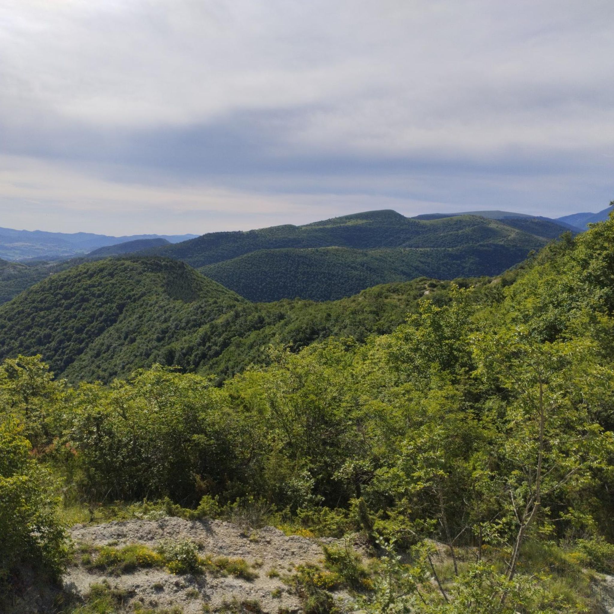
beautiful rock platform with a flat summit and vertical surrounding walls, with beautiful views all around. There are two climbing possibilities: from the west with a steep path equipped with ropes and from the east, from the bivouac, with a wider and walkable path.
1
0

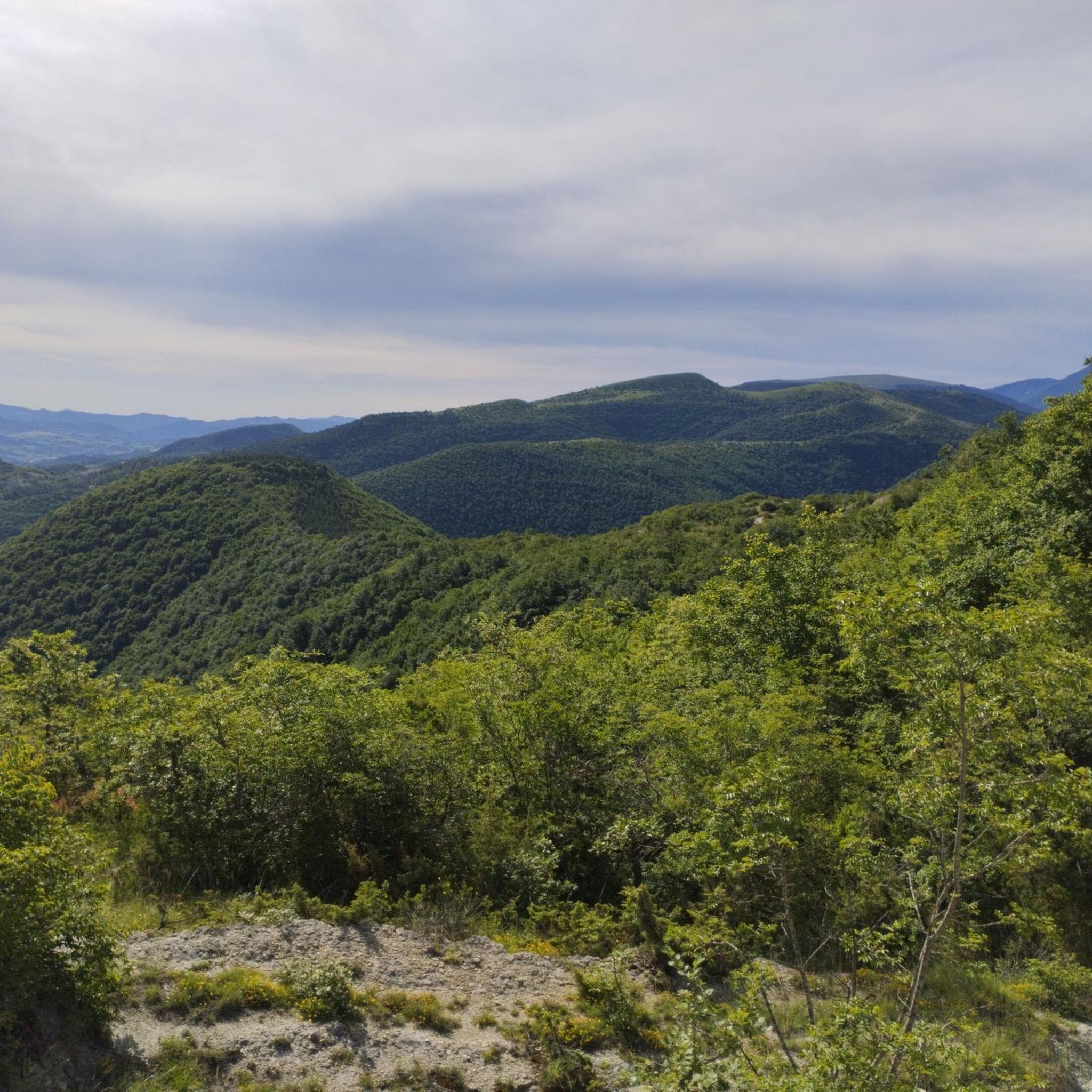
What can be said that hasn't already been said? It's beautiful to climb up, reach the summit and enjoy a 360-degree panoramic view, from the Adriatic to the Sibillini, Marche, Tuscany, Umbria and Emilia Romagna. It's beautiful to descend, the road is in good condition and doesn't require particular acrobatic "skills". Not to be missed
0
0

challenging trail from the junction for frigino and scalocchio is on the left past the agriturismo la casciara. to be done in summer not recommended in winter and autumn with rains where significant water stagnations form.. from here you return to the very beautiful village of cantone the single track offers a wonderful view but it is also dangerous for those who are not experts
1
0

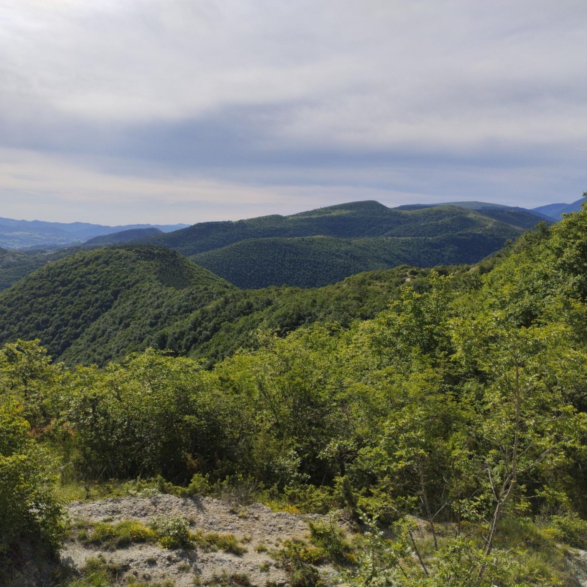
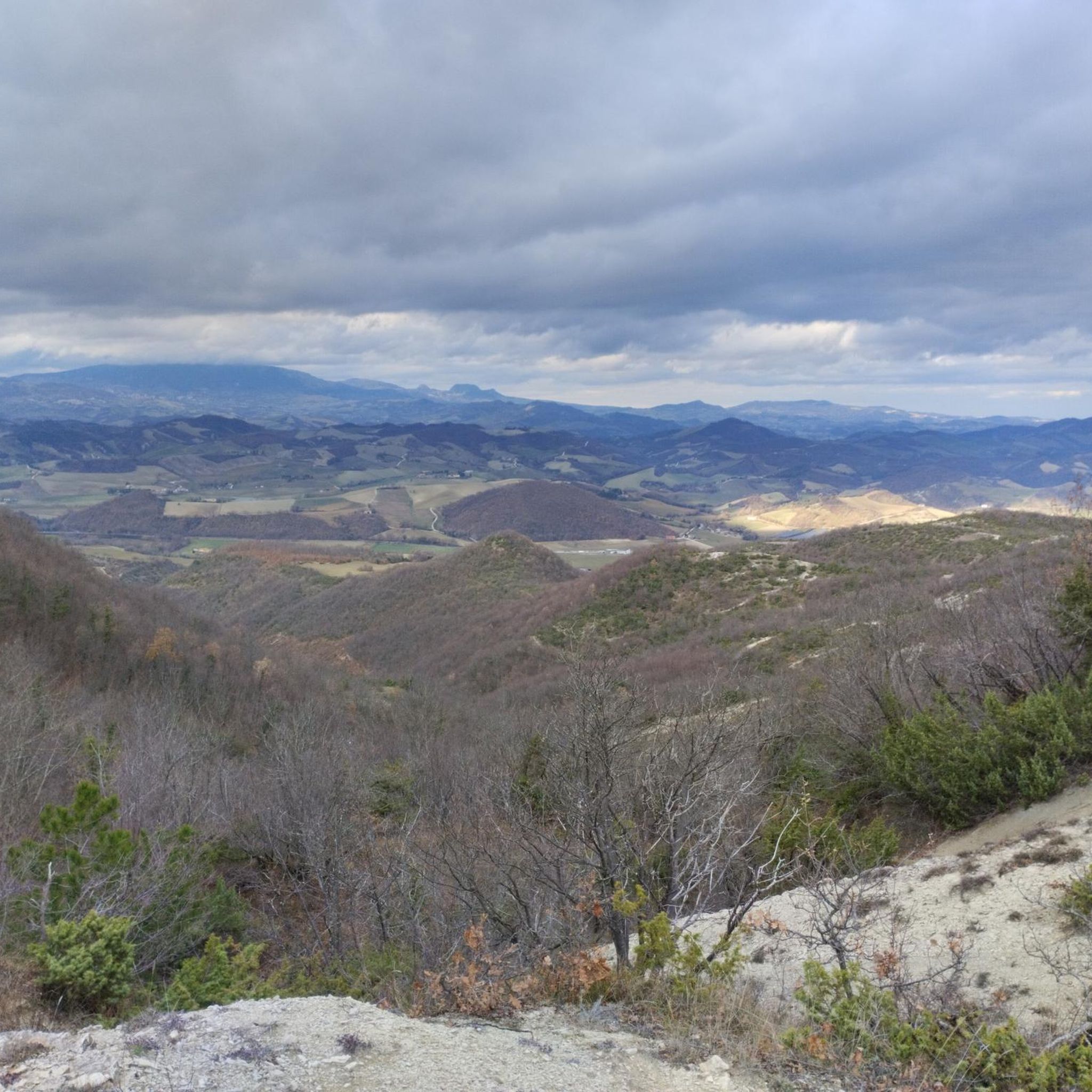
360º panoramic view. In conditions of absolute cleanliness of the atmosphere you can even see the sea.
0
0
From the road to Parnacciano, you turn onto a dirt road that leads to this farmhouse, La Casciara, in a very beautiful and quiet position. If you continue, it is difficult to get to Apecchio, but there are numerous branches made up of very beautiful and challenging paths.., the main road can be reached. travel both by mountain bike, gravel, enduro and even by car as it is well groomed
1
0

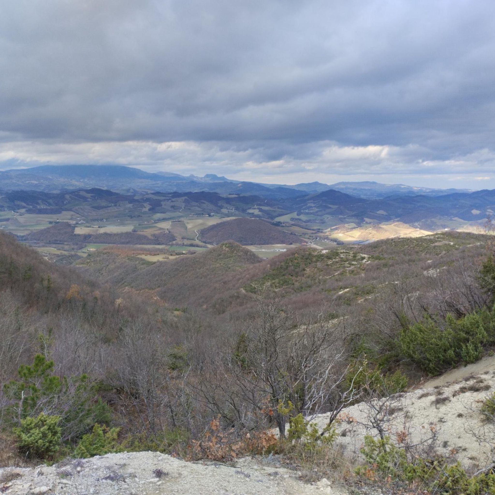
the photos speak for themselves, 360° panorama of Montefeltro
0
0

Place to see, ancient fortress commissioned by Cosimo I of which little or nothing remains
1
0

The path from Passo Cantoniera to Sasso Simone is not always accessible, as part of the path is located inside the Military Range of Carpegna. On some days, access is prohibited (on days when fire drills are in progress). The current calendar can be consulted here: parcosimone.it/accessibilita-al-poligono-di-carpegna
3
0
Frequently Asked Questions
Which are the most notable mountain peaks accessible from Sant'Angelo in Vado?
Sant'Angelo in Vado serves as a gateway to several impressive peaks in the Apennine Mountains. Key peaks include Monte Nerone, Monte Catria, Monte Carpegna, and Monte Montone. Additionally, you can explore Sasso Simone, Monte Simoncello, and the Monte Montiego Cross, all offering unique experiences and views.
What kind of activities can I do on Monte Nerone?
Monte Nerone, reaching 1,525 meters, offers a wide range of activities. You can enjoy hiking, horse riding, cycling, rock climbing, snowboarding, and paragliding. Its distinct topographic ridges and Mediterranean vegetation make it a scenic destination for outdoor enthusiasts.
Are there any historical or cultural sites associated with the mountains near Sant'Angelo in Vado?
Yes, several peaks have historical significance. Monte Catria was considered sacred in Roman times, serving as a temple to Jupiter. Monte Nerone's name is possibly linked to the Roman consul Gaius Claudius Nero. Sasso Simone, despite having only a few ruins, has an interesting story related to the Medici's Città del Sole.
What are the best times of year to visit the mountain peaks around Sant'Angelo in Vado?
The best time to visit depends on your planned activities. Spring and autumn offer pleasant temperatures for hiking and cycling, with vibrant seasonal colors. Summer is ideal for exploring at higher altitudes, while winter provides opportunities for skiing and snowboarding on peaks like Monte Catria.
Are there family-friendly hiking options in the mountains near Sant'Angelo in Vado?
While specific 'family_friendly' tags are not available for all highlights, the luxuriant Monte Montone Municipal Park, with its diverse flora and fauna, offers a 'fairytale atmosphere' ideal for excursions and enjoying nature with family. Many trails offer varying difficulties, so checking individual route details is recommended.
What kind of wildlife can be spotted in the Apennine mountains near Sant'Angelo in Vado?
The region is rich in wildlife. On Monte Carpegna, you might spot birds of prey, foxes, roe deer, and wolves. The Monte Montone Municipal Park is home to fallow deer, roe deer, squirrels, wild boars, and wolves. The broader Monti Sibillini National Park is a refuge for Italian wolves and Marsican brown bears.
What kind of panoramic views can I expect from these peaks?
Many peaks offer stunning panoramic views. From the Monte Montiego Cross, you can enjoy 360° panoramic views of Montefeltro, and on clear days, even the sea. Monte Carpegna is also known for its extensive panoramic vistas.
Are there any challenging trails for experienced hikers or cyclists?
Yes, for those seeking a challenge, the ascent to Monte Carpegna is famous as a training ground for legendary cyclist Marco Pantani. The Monte Colonna Ridge offers challenging trails with wonderful views. For cycling, routes like the 'Ascent to Monte Carpegna – Conca Valley loop' are rated as difficult. You can find more challenging routes in the Cycling around Sant'Angelo In Vado guide.
What are the geological features of the mountains in this area?
The mountains in this area, part of the Central Apennines, are primarily composed of limestone, formed during the Mesozoic era, as seen in Monte Catria. Monte Carpegna also features a calcareous geological nature. The landscape is characterized by distinct high topographic ridges and Mediterranean vegetation, with many gorges and natural arches.
What outdoor activities, besides hiking, are available near Sant'Angelo in Vado?
Beyond hiking, the area offers a variety of outdoor activities. You can find numerous cycling routes, including gravel biking and road cycling, with guides like Cycling around Sant'Angelo In Vado and Gravel biking around Sant'Angelo In Vado. Running trails are also popular, as detailed in the Running Trails around Sant'Angelo In Vado guide. Other activities include horse riding, rock climbing, snowboarding, and paragliding on peaks like Monte Nerone.
Is access restricted to any of the mountain peaks or trails?
Yes, access to the path from Passo Cantoniera to Sasso Simone is not always available, as part of it is located inside the Military Range of Carpegna. On certain days, access may be prohibited due to fire drills. It's advisable to check the current calendar for accessibility before planning your visit.
What is the elevation of the highest peaks in the region?
Among the peaks directly accessible from Sant'Angelo in Vado, Monte Catria has a highest peak standing at 1,702 meters above sea level. Monte Nerone reaches 1,525 meters, and Monte Carpegna's highest peak is 1,415 meters. The broader Monti Sibillini National Park, though further afield, includes even higher peaks like Monte Vettore (2,476 m).
Most popular routes around Sant'Angelo In Vado
Most popular attractions around Sant'Angelo In Vado

Get inspired with the komoot mobile app


Explore more
See even more amazing summits around Sant'Angelo In Vado with these guides:
