The 14 Most Amazing Peaks around Gropparello
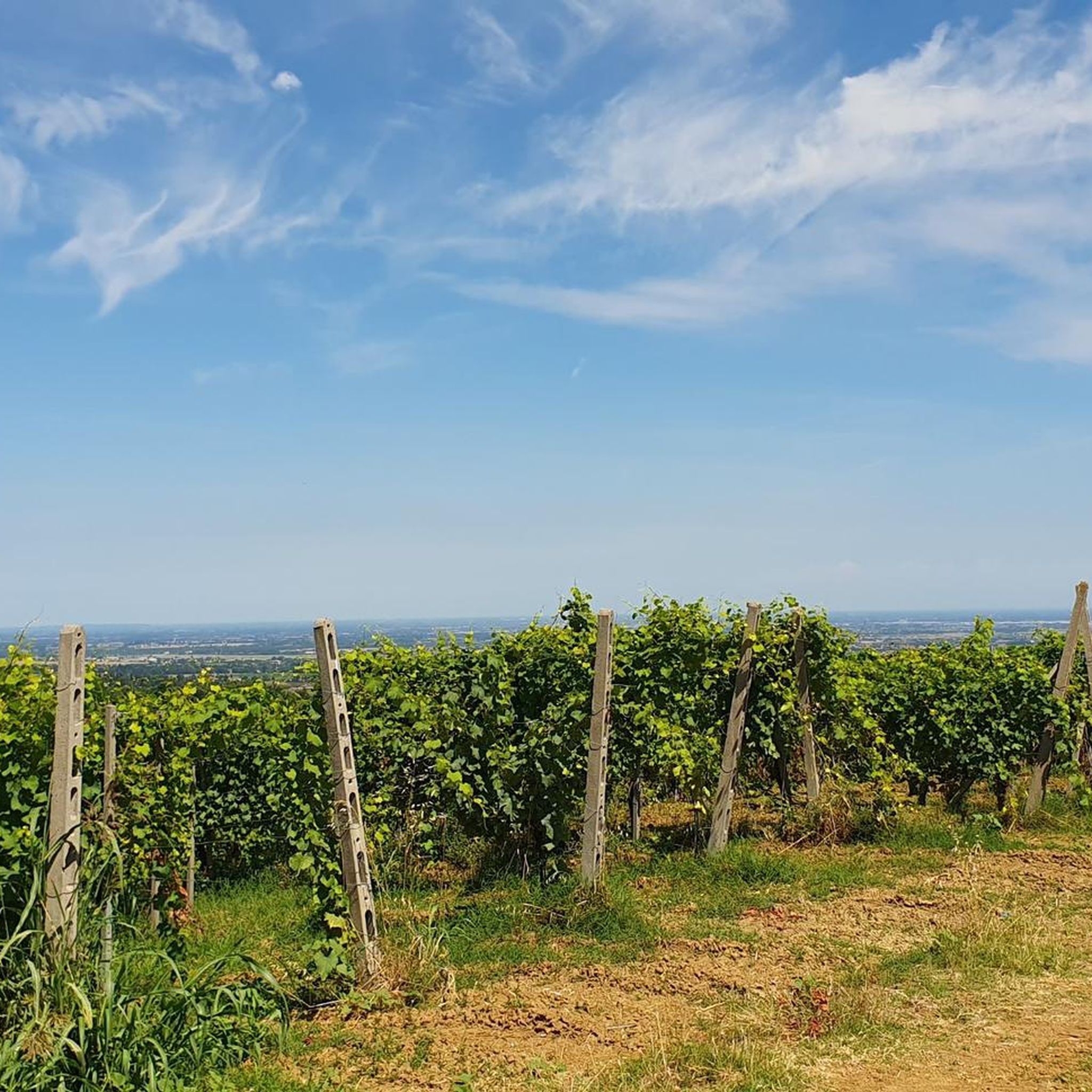
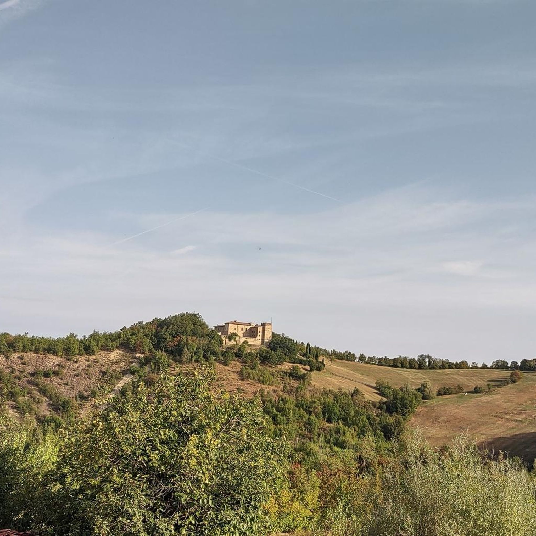
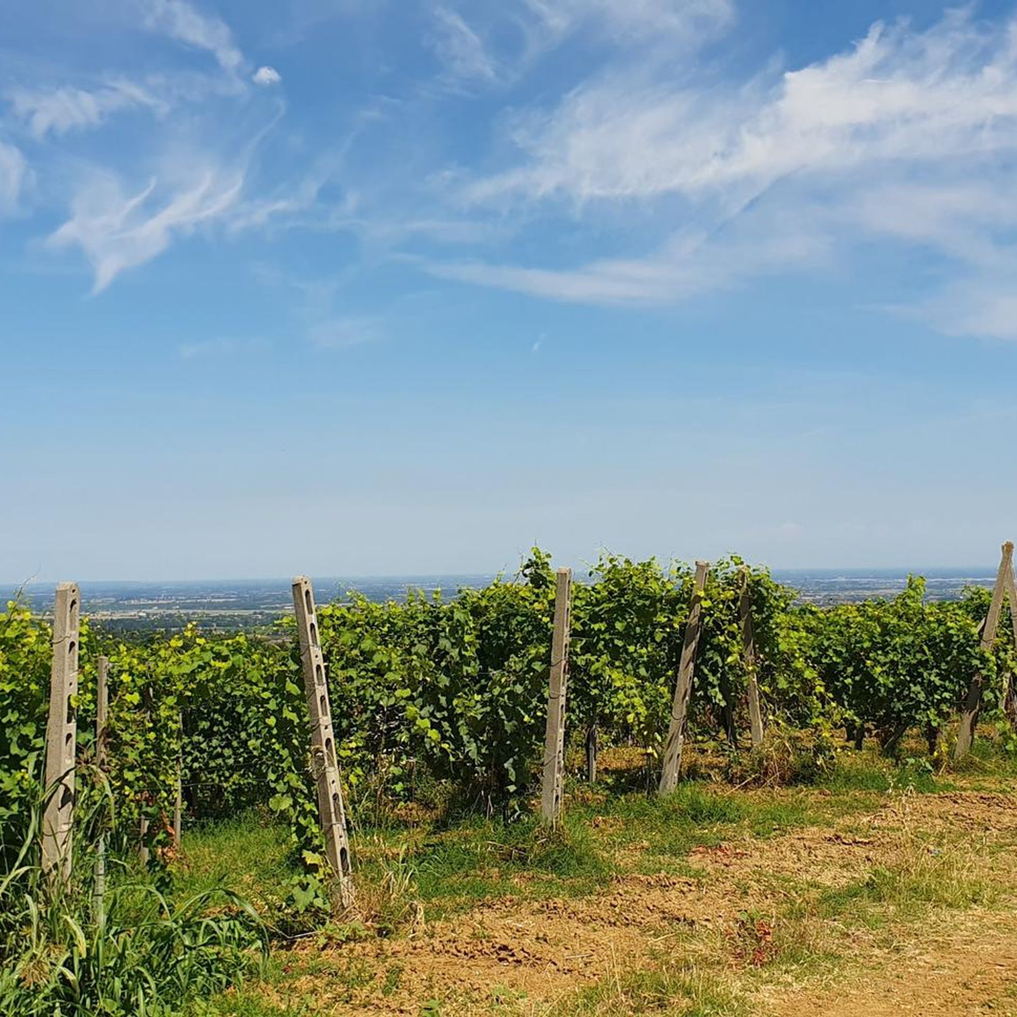
Best mountain peaks around Gropparello are found in a region characterized by vineyards, woods, and various elevated areas. This area, nestled between gentle rolling hills and the Apennine mountains, offers diverse ascents and viewpoints. The terrain is suitable for outdoor activities such as trekking and mountain biking, providing varied natural environments. Distinctive ophiolithic rocks contribute to the unique geological character of the landscape.
Best mountain peaks around Gropparello
- The most popular mountain peaks is Monte Denavolo Summit Cross, a summit that marks one of the first peaks of the mountain range dividing Trebbia and Nure. Its summit features a cross and offers a 360° view of the surrounding landscape.
- Another must-see spot is Monte Menegosa summit cross, a summit known for its views towards Val Lardana and Val Nure. Mount Menegosa has two peaks, one with a cross and another with a small Madonnina.
- Visitors also love Monte Lama, a summit offering panoramic views. This peak is a border bulwark between the provinces of Piacenza and Parma.
- Gropparello is known for its summits, viewpoints, and natural monuments. The area offers a variety of mountain peaks to see and explore, ranging from intermediate to challenging.
- The mountain peaks around Gropparello are appreciated by the komoot community, with 47 upvotes and 50 photos shared by visitors.
Last updated: August 9, 2026
Monte Menegosa summit cross
Highlight • Summit
Translated by Google •
Tip by

Monte Denavolo Summit Cross
Highlight • Summit
Translated by Google •
Tip by

Sign up now to discover places like this
Get recommendations on the best single tracks, peaks, & plenty of other exciting outdoor places.
Sign up for free
Monte Lama
Highlight • Summit
Very suggestive panorama, slightly demanding walk but with this panorama all the effort is repaid.
Translated by Google •
Tip by

Pian del Pozzo
Highlight • Summit
Translated by Google •
Tip by

Groppo di Gora Summit and Memorial Shrine
Highlight • Summit
Translated by Google •
Tip by
Sign up for free to discover even more peaks around Gropparello.
Sign up for free
Already have an account?
Start today with a free account
Your next adventure awaits.
Login or Signup

Tips from the Community

The peaks of Menegosa are 4 and not 2. 2 in the municipality of Morfasso, in order of height the second and the fourth. And 2 in the municipality of Farini, the first, the highest, and the fourth, the southern peak from which you can get there from Teruzzi or Longhi passing the Passo Menegosa. At least inform yourself before writing nonsense…
0
0
Menegosa is made up of 4 peaks overall, not 2. The southern peak, the one you pass coming from Teruzzi is the first. The last one is behind the highest one. 2 peaks are in the municipality of Morfasso and 2 in that of Farini. So before you write nonsense, inform yourself…🤣
0
0
Not recommended for children, tiring climb and last section on rock
0
0

Mount Menegosa has two peaks: one facing Morfasso with a cross and the other facing Groppallo with a small Madonnina.
2
1

A section of the trail that climbs to Mount Dinavolo, with fallen trees on the path! You can get across by getting off your bike! 12/31/2025 The trail has been repaired and is free of fallen trees.
0
0
Mount Denavolo, m. 702 s.l.m., is located on the watershed between Val Nure and Val Trebbia. Its summit, almost flat and crowned by a fresh pine forest, is characterized by a cross placed at the highest point and offers a splendid 360° view of the surrounding landscape.
2
0
Frequently Asked Questions
What are some of the most notable mountain peaks to visit around Gropparello?
The region around Gropparello offers several prominent peaks. Among them, Monte Denavolo Summit Cross is popular for its 360° views. Another significant peak is Monte Menegosa summit cross, known for its views towards Val Lardana and Val Nure. You can also explore Monte Lama, which offers spectacular panoramas and marks a border between the provinces of Piacenza and Parma. Other notable elevated points include Pian del Pozzo and Croce dei Segni, the highest peak of the Monte Moria Natural Park.
What kind of views can I expect from the mountain peaks in Gropparello?
From the elevated points around Gropparello, you can expect breathtaking views of the surrounding valleys, vineyards, and wooded landscapes. For instance, Monte Denavolo Summit Cross provides a splendid 360° view, while Monte Menegosa summit cross offers beautiful vistas towards Val Lardana and Val Nure. The climb to Passo dei Guselli also provides spectacular panoramas.
What is the typical terrain and difficulty for hiking around Gropparello's peaks?
The terrain around Gropparello is characterized by rolling hills, vineyards, and wooded areas, leading up to more elevated points. Hiking trails range from intermediate to challenging. For example, the ascent to Passo dei Guselli involves a significant gain in elevation over 19.1 kilometers, with a moderate average gradient. Some sections, like parts of Monte Menegosa, can be tiring with rocky sections, while others like Monte Lama offer a slightly demanding but rewarding walk.
Are there family-friendly mountain trails in the Gropparello area?
While some peaks like Monte Menegosa are not recommended for children due to tiring climbs and rocky sections, the broader Gropparello region offers a variety of trails. The area's mild climate and lush nature provide a peaceful setting for walks, and many trails are suitable for families looking to explore the natural environment. It's advisable to check specific trail details for difficulty before heading out with children.
What unique natural features or geology can I observe around Gropparello's peaks?
Gropparello's territory is notable for its distinctive ophiolithic rocks, a unique geological formation that adds character to the landscape. The Gropparello Castle itself is dramatically situated on a spur of ophiolithic rock. You can also explore areas like the Rio Rosello Trail, which allows visitors to discover part of the Geological Park of the Piacenziano, with opportunities to see fossils embedded in blue clays.
What outdoor activities can I do near the mountain peaks around Gropparello?
The region around Gropparello is excellent for various outdoor activities. You'll find numerous trails suitable for trekking and mountain biking. For cycling enthusiasts, there are routes like the 'Murals of Borgo di Cassinari – Prato Barbieri Pass loop' or the 'Devil Piplon Rock – Panoramic View Near Castellana loop'. Mountain biking options include the 'Gropparello, Bersani e colline - giro ad anello'. If you enjoy running, consider trails like the 'Veleia Romana loop'. You can find more details on these activities in the Cycling around Gropparello, MTB Trails around Gropparello, and Running Trails around Gropparello guides.
What is the best time of year to hike the peaks around Gropparello?
The region around Gropparello is particularly charming during autumn when the leaves change color, offering a beautiful backdrop for hiking. The mild climate generally makes it pleasant for outdoor activities. While specific seasonal considerations for winter hiking aren't detailed, spring and autumn are typically ideal for enjoying the lush nature and scenic views without extreme temperatures.
Can I bring my dog on trails around Gropparello's peaks?
The Gropparello area is known for its natural environment and trails, making it generally suitable for dog-friendly activities. Many trails are open to dogs, allowing you to explore the region's beauty with your canine companion. However, it's always recommended to check specific trail regulations or local signage for any restrictions before you go.
What do visitors enjoy most about the mountain peaks and trails in Gropparello?
Visitors frequently praise the spectacular and suggestive panoramas offered by the peaks, noting that the effort of the climb is well rewarded by the views. The peaceful roads and lush nature are also highly appreciated, especially for those seeking tranquility. The unique geological formations and the variety of trails for trekking and mountain biking contribute to a diverse and enjoyable outdoor experience.
Are there any specific religious or man-made monuments on the peaks?
Yes, several peaks feature religious or man-made monuments. For example, Monte Denavolo Summit Cross is crowned by a cross at its highest point. Monte Menegosa has two peaks, one with a cross and another with a small Madonnina. Additionally, Croce dei Segni features a beautiful religious shrine.
Where can I find information about cycling routes near Gropparello's peaks?
For cycling enthusiasts, Gropparello offers several routes, including challenging ones like the 'Panoramic View Near Castellana – Devil Piplon Rock loop' and the 'Folignano Castle – Bettola loop'. You can find detailed information and more options in the Cycling around Gropparello guide, which provides routes with varying distances and difficulty grades.
Are there mountain biking trails available in the Gropparello area?
Yes, the Gropparello area is well-suited for mountain biking with a selection of trails. Options range from moderate to difficult, such as the 'Gropparello, Bersani e colline - giro ad anello' or the 'View of Groppovisdomo – Rossoreggio Tower loop'. For more details on these and other routes, refer to the MTB Trails around Gropparello guide.
Most popular routes around Gropparello
Most popular attractions around Gropparello

Get inspired with the komoot mobile app


Explore more
See even more amazing summits around Gropparello with these guides:
