The best road cycling routes around Kriftel
4.5
(1290)
20,035
riders
16
rides
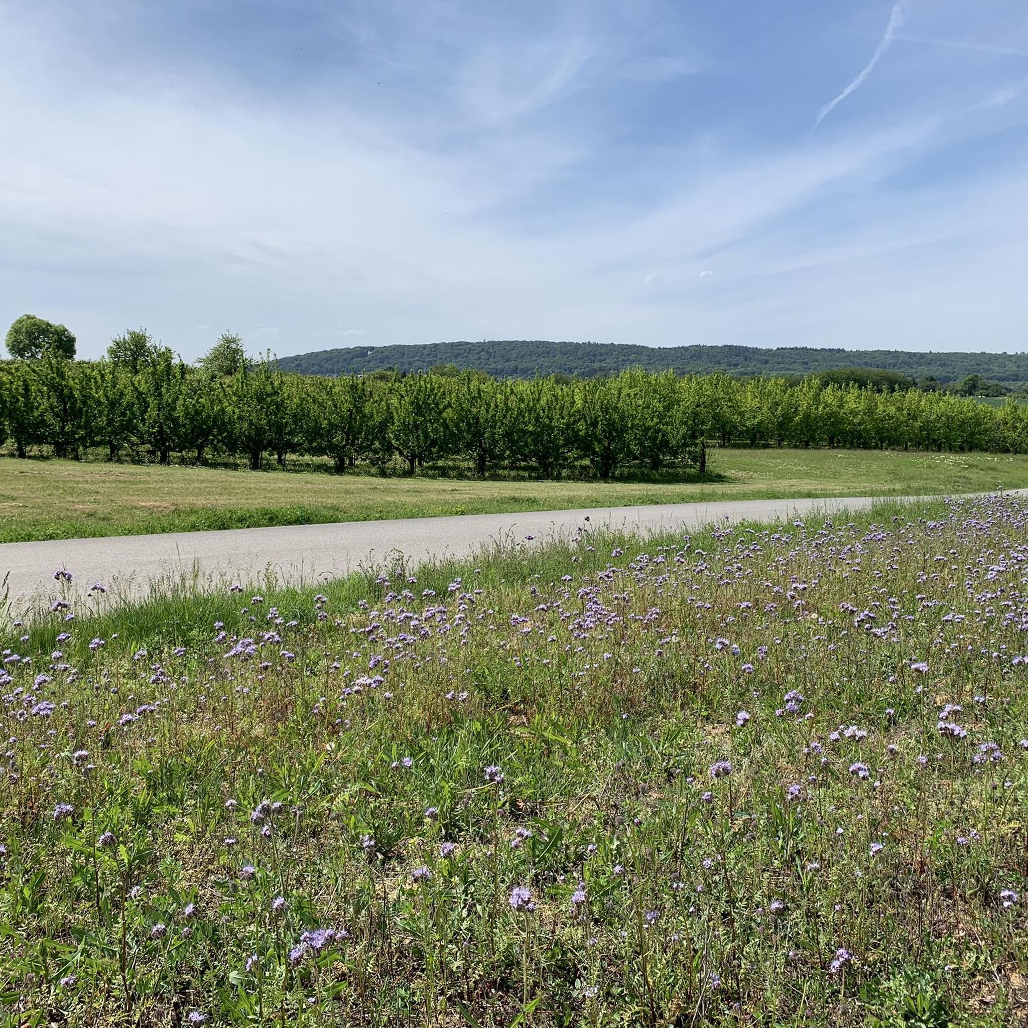
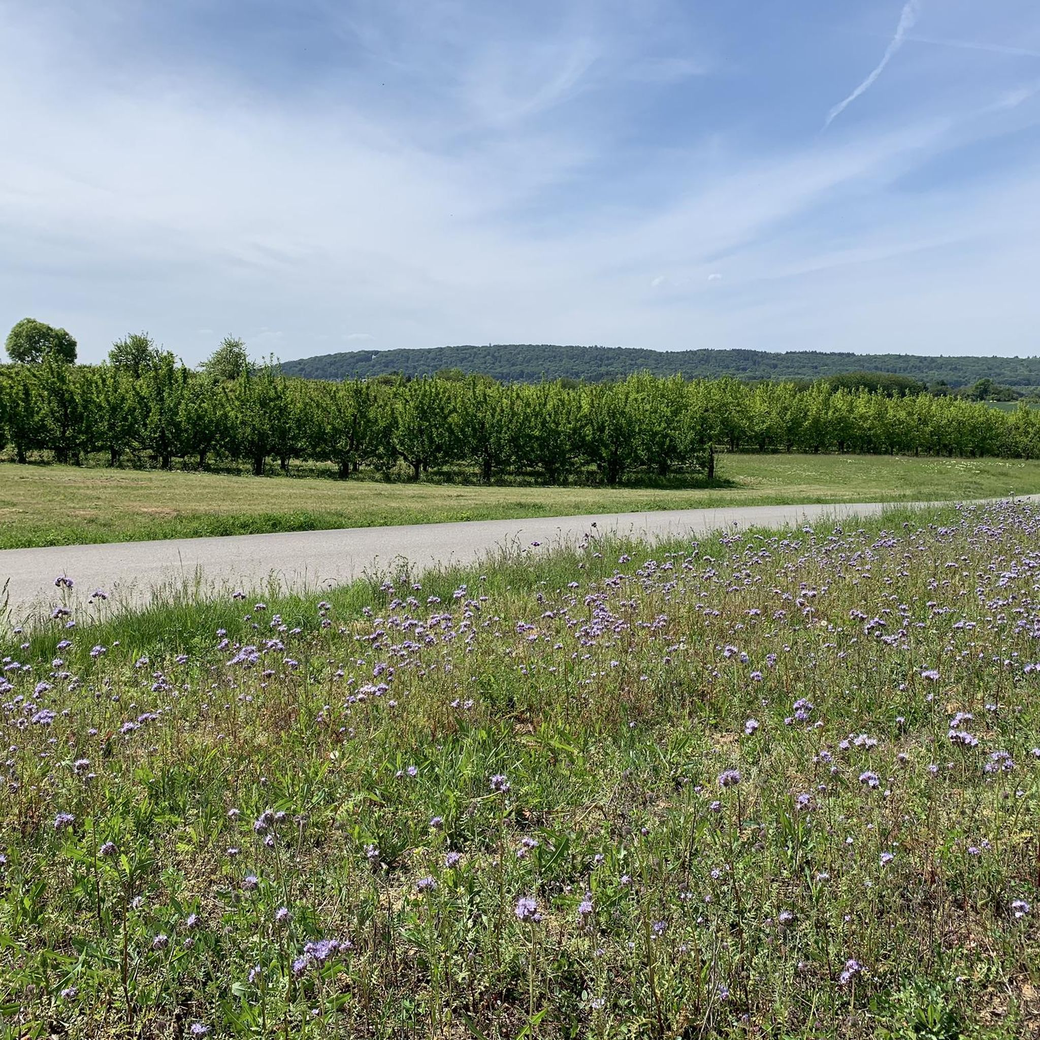
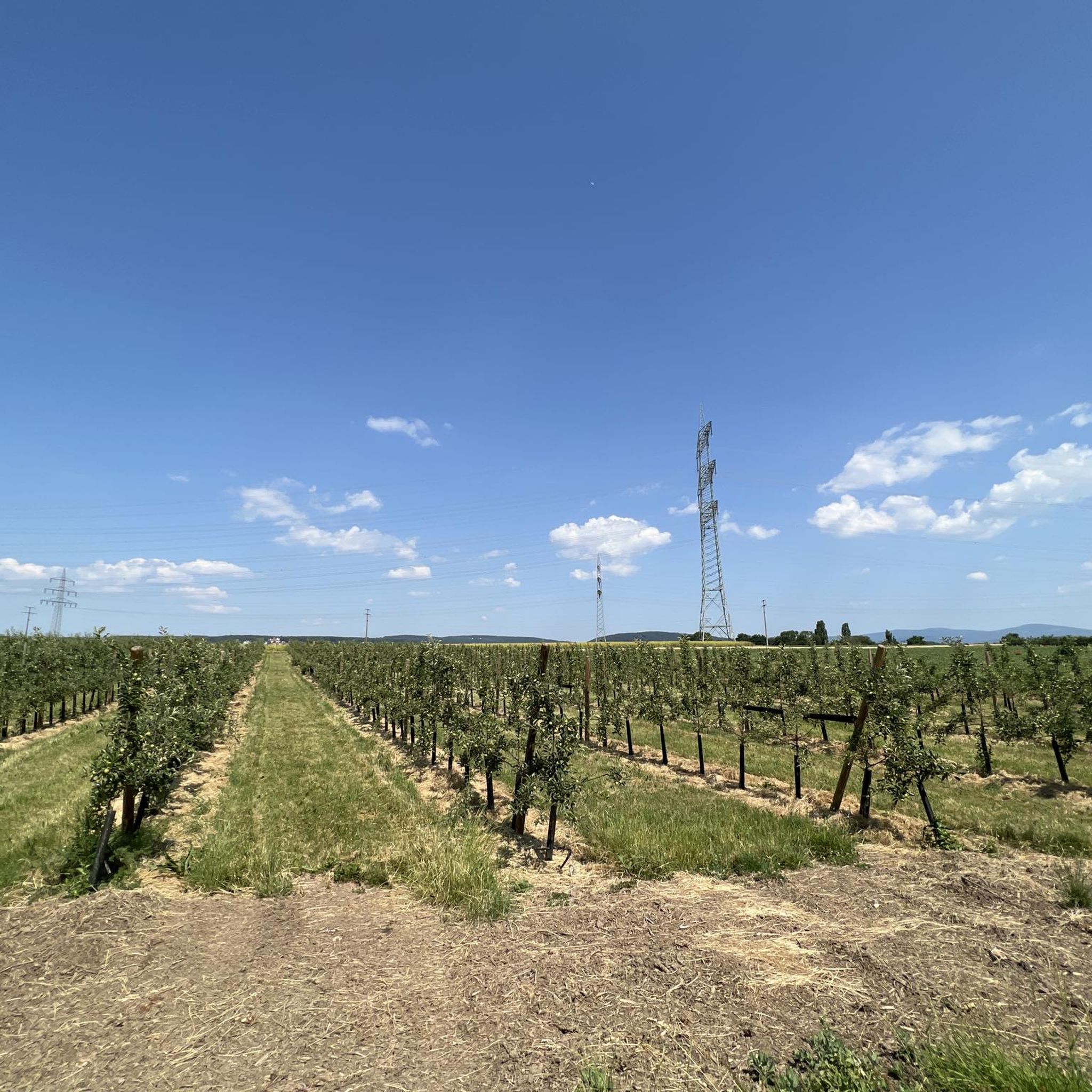
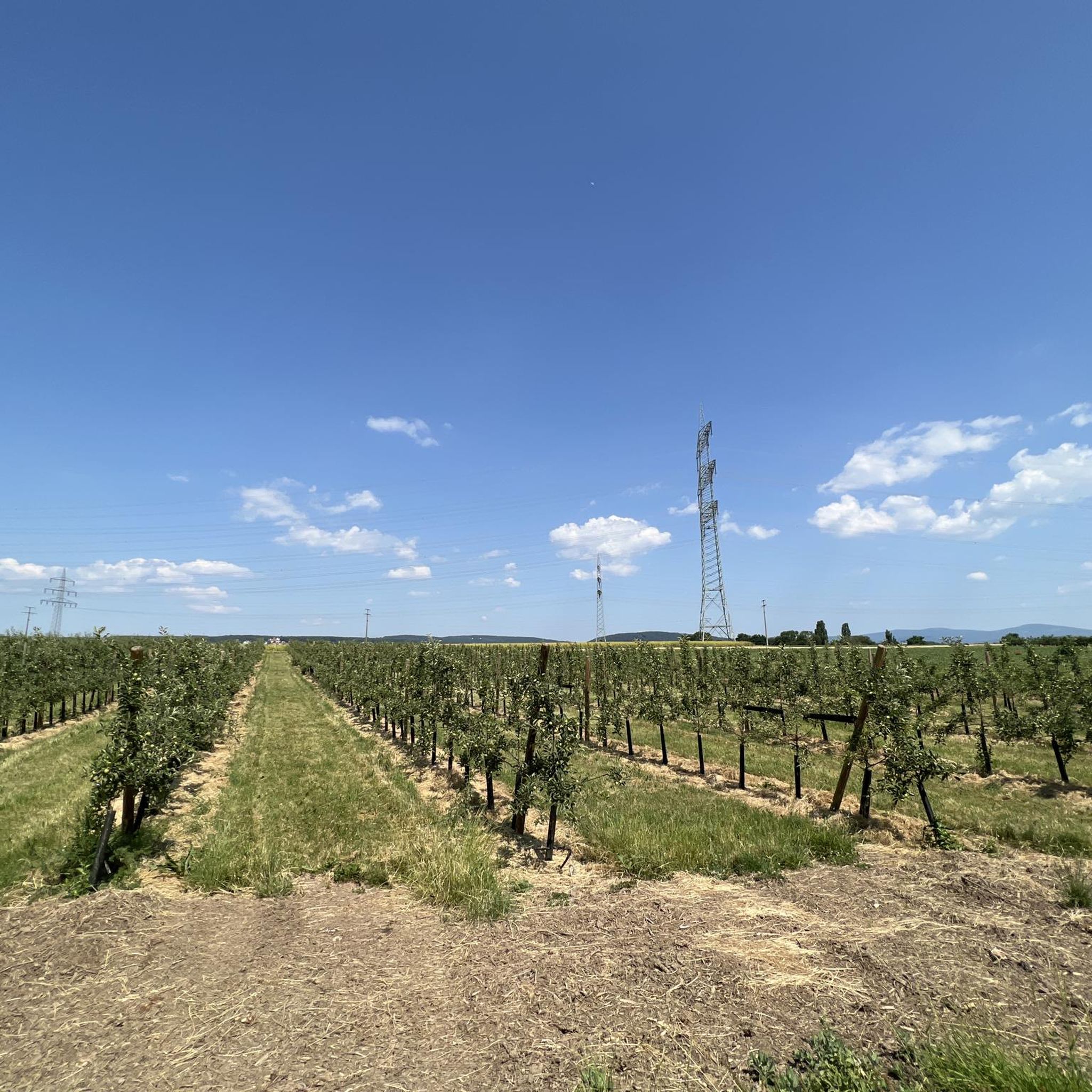
Road cycling routes around Kriftel traverse a landscape characterized by extensive fruit orchards, green fields, and forests. The region is situated between the Main and Rhine rivers, offering flat to gently rolling terrain along waterways. To the north, the Taunus mountains provide more challenging ascents and significant elevation gains for road cyclists. This diverse topography allows for a variety of road cycling experiences, from riverside loops to mountain climbs.
Best road cycling routes around Kriftel
- The most popular road cycling…
Last updated: July 24, 2026
4.4
(25)
656
riders
84.7km
03:32
170m
170m
Moderate road ride. Good fitness required. Some segments of this route may be unpaved and difficult to ride.
4.6
(5)
171
riders
51.2km
02:40
870m
870m
Moderate road ride. Good fitness required. Mostly well-paved surfaces and easy to ride.

Sign up for free
4.1
(11)
87
riders
54.0km
02:38
590m
590m
Moderate road ride. Good fitness required. Mostly well-paved surfaces and easy to ride.
66
riders
96.2km
04:29
1,050m
1,050m
Hard road ride. Very good fitness required. Mostly well-paved surfaces and easy to ride.
4.6
(7)
78
riders
76.1km
03:12
340m
340m
Moderate road ride. Good fitness required. Some segments of this route may be unpaved and difficult to ride.
Get access to more routes and recommendations from other explorers.
Sign up for free
Already have an account?
Our route recommendations are based on thousands of hikes, rides, and runs completed by other people on komoot.
Start today with a free account
Your next adventure awaits.
Login or Signup
Tips from the Community

Altrhein near Ginsheim with harbor. Pedal boats and small cafes.
0
0

The path on the (northern) bank of the Main estuary is already beautiful, but those who like it a bit nicer will find the detour to the Mainspitze (southern bank) even better.
0
0

The historic town hall was built in 1479 on the remains of Gothic city gates. Its history is closely intertwined with the history of the town of Oberursel. In 1444, the market town of Oberursel was granted city rights. Trade developed rapidly, and the number of citizens grew steadily. In 1481, the city walls were extended to include a new part of the town—the "valley." After fulfilling its military function, the town hall was built on the reclaimed site of the "Lower Gate" of the first city wall. At this juncture between the old and new towns, it became a visible testament to the self-confidence of the free citizens. Moreover, the building was centrally located on the newly created market square. In the turmoil of the Thirty Years' War, the town hall burned down for the first time in 1622. Although plans for its reconstruction existed as early as 1629, they could not be realized during the Thirty Years' War. In 1645, the temporary building erected in its place was burned down again, along with almost the entire town. The town hall was rebuilt in 1659, though on a smaller scale than originally planned in 1629. The interior was completed in 1663. A jail cell, known as the "Betzelkammer," was installed at its base, beneath the staircase. This cell could accommodate 20 prisoners. In 1702, a sundial was added to the town hall; during the 1933/34 renovation, an inscription was added. Above the town hall's entrance is a Baroque replica of the town's coat of arms from the 15th/18th centuries. On September 27, 1980, the renovated council chamber was reopened. Since then, the council chamber, with its beautiful wainscoting, has been available for special civic events and weddings.
13
0

The castle and the view of the river are beautiful, and the adjacent castle park is wild and romantic.
15
0

Forgotten Opel Manta B
1
1
Long-term parkers
1
1

Very nice section for biking
0
0
Very nice area for biking
0
0
Frequently Asked Questions
What are the typical difficulty levels for road cycling routes around Kriftel?
Road cycling routes around Kriftel offer a range of difficulty levels. You'll find routes with flat to gently rolling terrain, especially along the Main and Rhine rivers, suitable for moderate fitness. For more challenging rides, routes ascending into the Taunus mountains feature significant elevation gains. Overall, there are 2 easy, 10 moderate, and 4 difficult routes available.
Are there challenging road cycling routes for experienced cyclists near Kriftel?
Yes, experienced road cyclists will find challenging routes, particularly those heading into the Taunus mountains. For example, the Biebrich Palace – Eltville's Old Town loop from Kriftel is a difficult route with over 1000 meters of elevation gain, offering a substantial workout and scenic views.
What natural features can I expect to see while road cycling in Kriftel?
Kriftel, known as the 'Orchard Garden of the Vordertaunus,' is characterized by extensive fruit orchards, green fields, and forests. Many routes follow the Main and Rhine rivers, providing picturesque waterside scenery. In spring, the blossoming fruit trees create a particularly beautiful backdrop for your ride.
Are there any historical sites or landmarks to visit along the road cycling routes?
Yes, several routes incorporate historical sites and charming towns. You can cycle to places like Biebrich Palace and Eltville's Old Town, or explore Hofheim Old Town and Eppstein Castle Ruins. The Hofheim Old Town – Eppstein Castle Ruins loop from Kriftel is a great option for combining cycling with historical exploration.
Where can I find scenic viewpoints on road cycling routes near Kriftel?
For rewarding views, consider routes that ascend into the Taunus mountains. The Ascent to Kleiner Feldberg – Großer Feldberg Summit loop from Kriftel offers significant elevation and panoramic vistas from the summits. Additionally, the Großer Mannstein (Staufenschwur Lookout) is a notable viewpoint in the area.
What is the typical length and duration of road cycling routes in Kriftel?
The routes vary significantly in length and duration. For instance, the Cycle expressway along the Rhine embankment – The Main River at Kostheim loop from Kriftel is about 84 km and takes around 3.5 hours, while the The Main River at Kostheim – Works Bridge West loop from Kriftel covers about 75 km in just under 3 hours.
How accessible are the road cycling routes in Kriftel by public transport or car?
Kriftel's strategic location between Frankfurt am Main and Wiesbaden makes it easily accessible. Many routes start directly from Kriftel, which has good public transport connections. For those arriving by car, parking options are generally available within the town, serving as convenient starting points for your rides.
Are there family-friendly road cycling options in Kriftel?
While many road cycling routes involve longer distances and some elevation, the flat sections along the Main and Rhine rivers can be more suitable for families with older children or those seeking a gentler ride. The region's well-paved paths offer a safe environment for cycling.
When is the best time of year to go road cycling in Kriftel?
The spring season is particularly beautiful for road cycling in Kriftel, as the extensive fruit orchards are in full bloom. The warmer months from spring through early autumn generally offer the most pleasant weather conditions for exploring the region's diverse terrain.
Are there circular road cycling routes available around Kriftel?
Yes, many of the road cycling routes around Kriftel are designed as loops, allowing you to start and end your ride in the same location. Examples include the Cycle expressway along the Rhine embankment – The Main River at Kostheim loop from Kriftel and the Ascent to Kleiner Feldberg – Großer Feldberg Summit loop from Kriftel.
What do other cyclists say about road cycling in Kriftel?
The road cycling routes in Kriftel are highly rated by the komoot community, with an average score of 4.3 stars from over 40 reviews. Cyclists often praise the diverse terrain, from scenic riverside paths to challenging mountain ascents, and the beautiful 'Orchard Garden' landscapes.
Can I find places to stop for refreshments along the road cycling routes?
Yes, many routes pass through charming towns and villages where you can find cafes, restaurants, and bakeries for refreshment stops. Routes that visit places like Eltville's Old Town or Hofheim Old Town offer excellent opportunities to pause and refuel.
Most popular routes around Kriftel
Most popular attractions around Kriftel

Get inspired with the komoot mobile app


Explore more
Browse the best Road cycling routes in other regions.
