Top 6 Gorges in Unstrut-Hainich-Kreis
Best canyons in Unstrut-Hainich-Kreis encompass significant geological formations and erosion valleys within Thuringia, Germany. The region features areas like the Wichtelgrund, an erosion valley cutting into Muschelkalk layers, and loess deposits that contribute to steep, canyon-like features. Hainich National Park also offers diverse terrain with ravines and valleys, providing opportunities to experience naturally sculpted landscapes. These areas are notable for their ecological significance and geological insights.
Best canyons in Unstrut-Hainich-Kreis
- The most popular canyons is Großer Steingraben, a gorge…
Last updated: September 30, 2026
Großer Steingraben
Highlight • Gorge
Translated by Google •
Tip by

Steingraben on the Thiemsburg Nature Trail
Highlight • Gorge
Translated by Google •
Tip by

Sign up now to discover places like this
Get recommendations on the best single tracks, peaks, & plenty of other exciting outdoor places.
Erosion Ditch and Touringen Stamp Box No. 40
Highlight • Gorge
Translated by Google •
Tip by

Steingraben
Highlight • Gorge
Translated by Google •
Tip by

Reisersches Valley
Highlight • Gorge
Translated by Google •
Tip by

Little Canyon
Highlight • Canyon
The water has dug its way deep into the shell limestone.
And there would also be a waterfall.
Translated by Google •
Tip by

Start today with a free account
Your next adventure awaits.
Popular around Unstrut-Hainich-Kreis
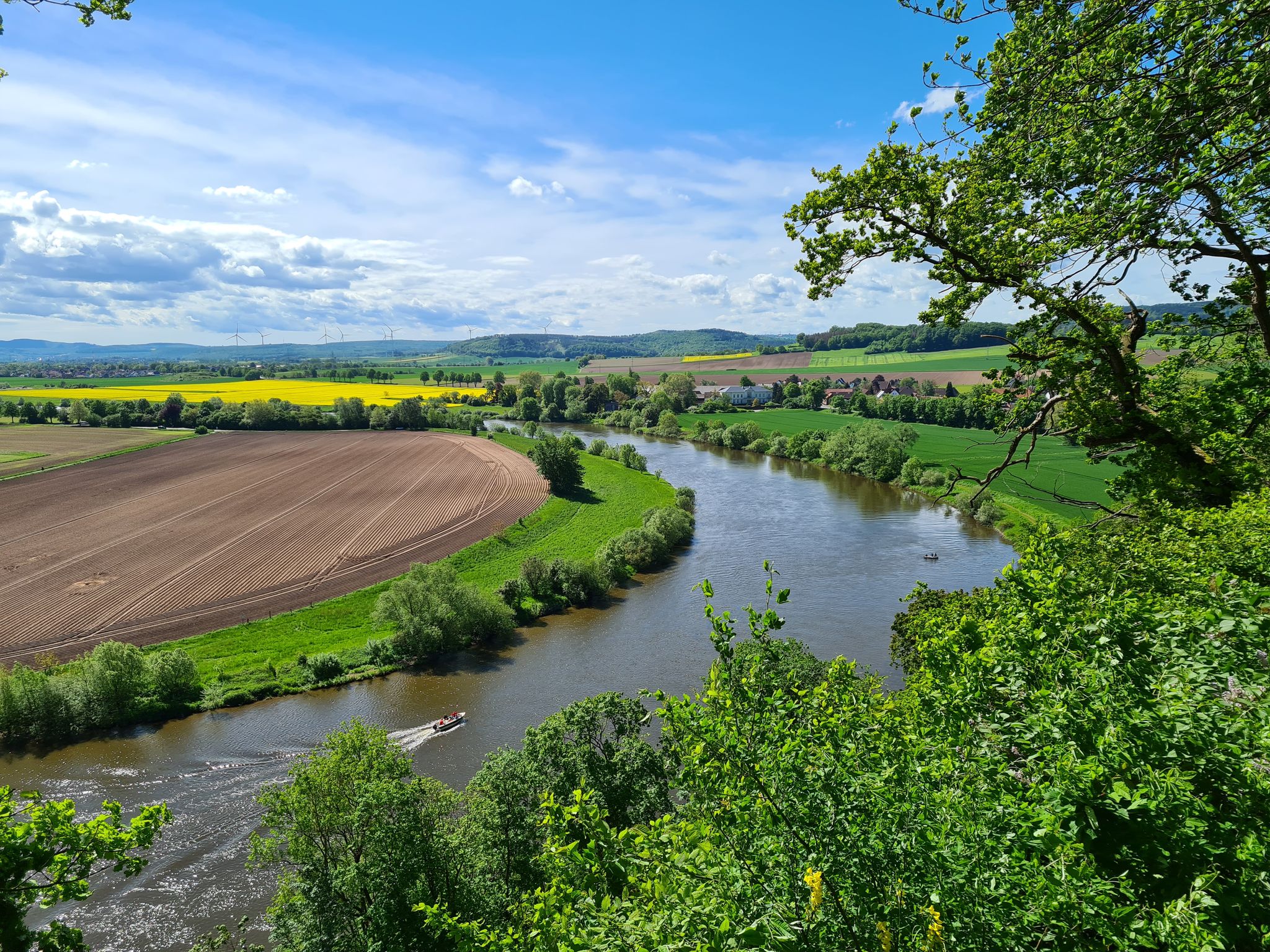
Loccum-Volkenroda pilgrim's way – From monastery to monastery
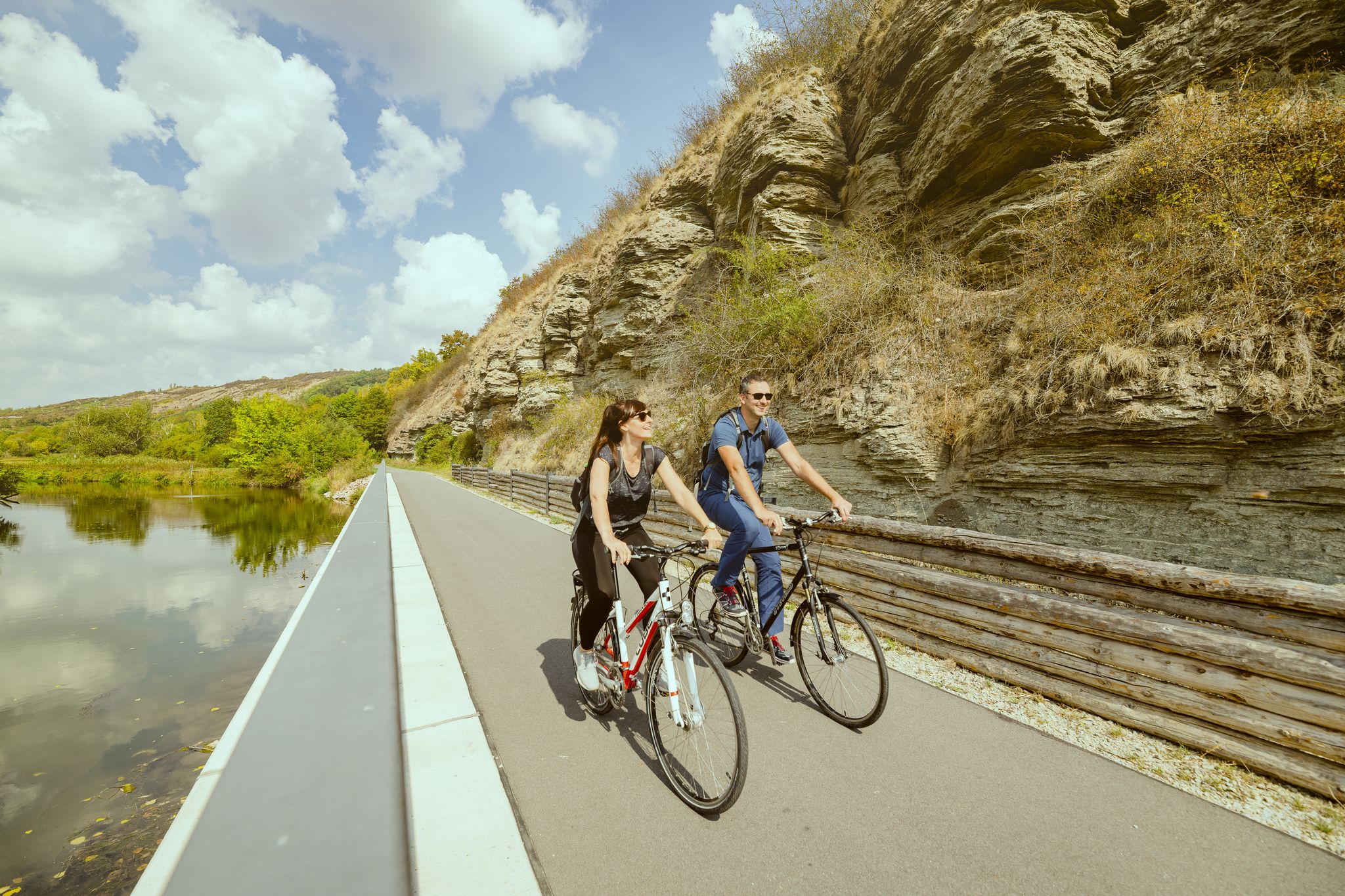
Unstrut Cycle Path – from the source in Eichsfeld to the River Saale
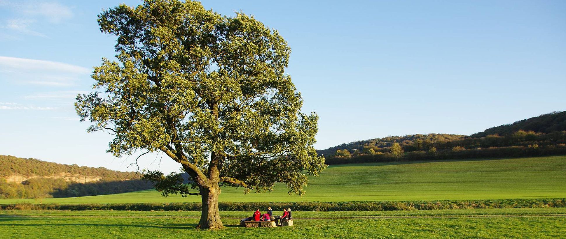
Unstrut cycle path — 4 days through Thuringia and Saxony-Anhalt
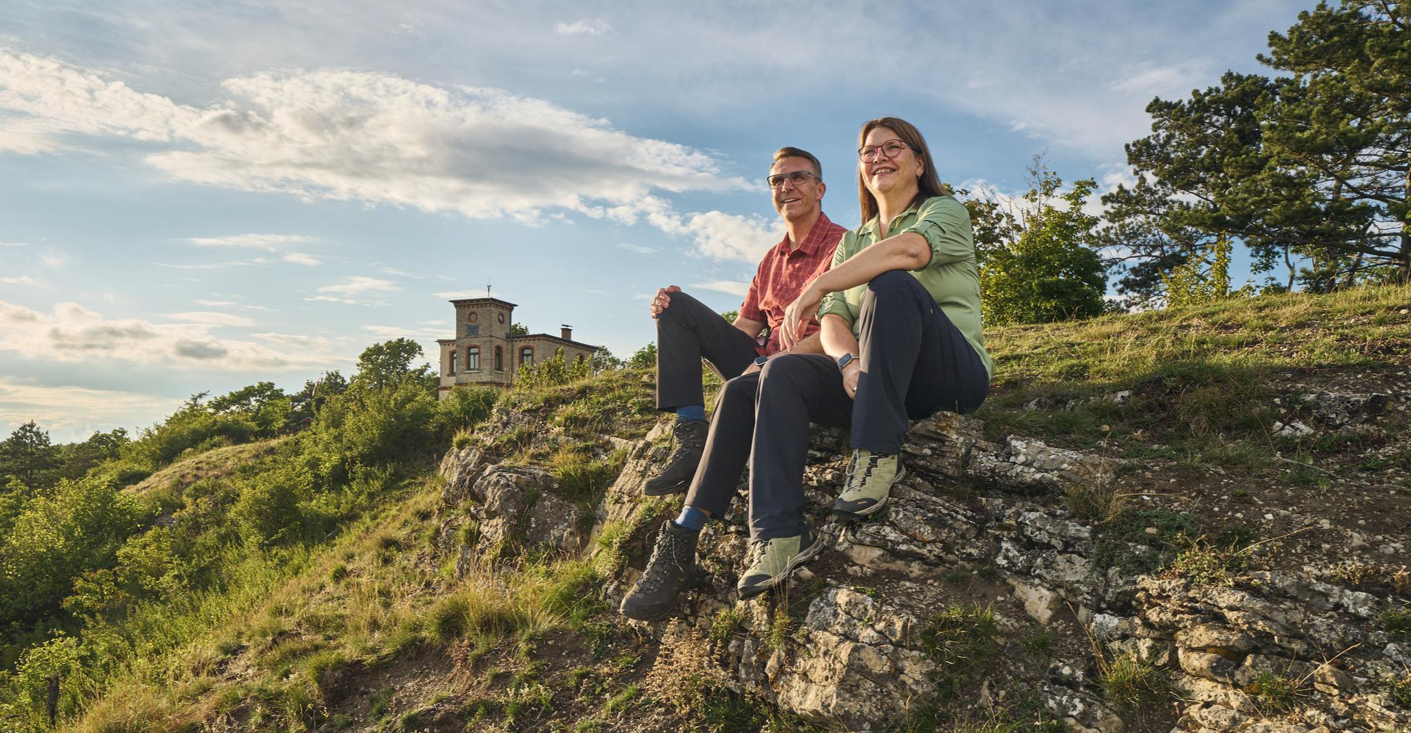
Autumn Hiking with a view – 7 WOW Tours between Wartburg and Hainich
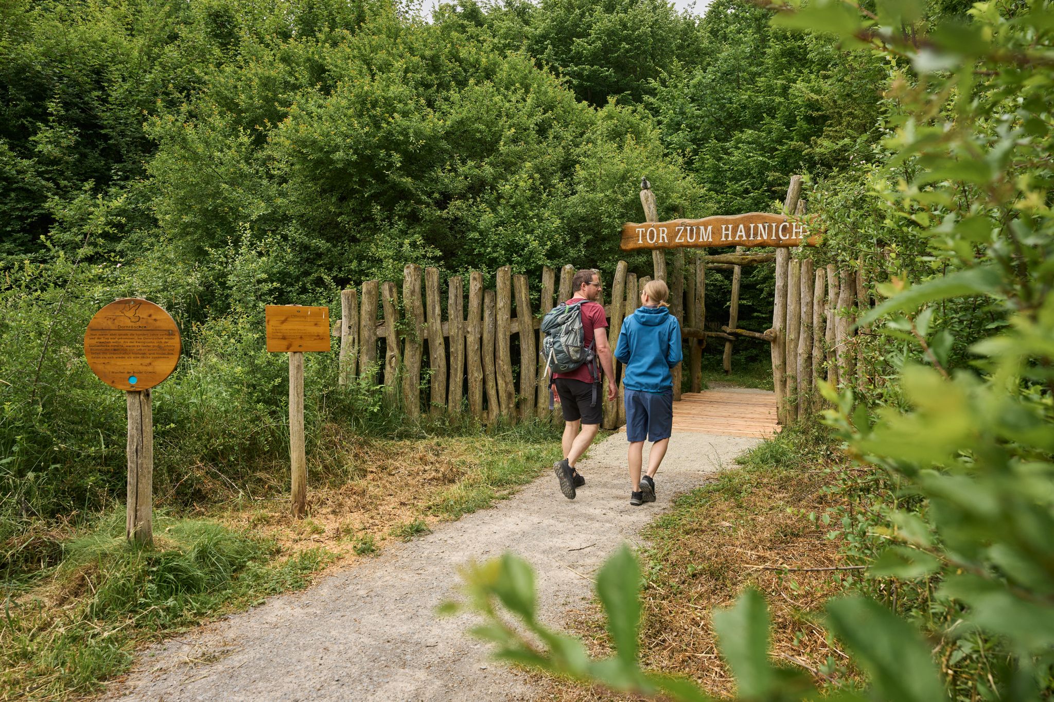
Varied hiking on the Hainichlandweg

Wonderful Green Band
The Waagebalkenweg - in two days through the Hainich
The Rennstieg - the Hainich for hiking enthusiasts
Cycling through Hainich National Park
Fast-paced trails and steep summits – outdoors in Thuringia
Other adventures in Unstrut-Hainich-Kreis


Tips from the Community

The erosion gully in Hainich National Park impressively shows how water shapes the forest floor during rain. The soils in Hainich consist largely of Muschelkalk - a rock that is easily washed away by water. The water carries material with it, and small rills form. Over time, these develop into erosion gullies like this one. A bridge leads over this gully. In spring, you can admire a sea of wild garlic here. A quiet place where you can enjoy nature and collect the Touringen stamp no. 40 at the same time.
2
0

This rock formation is also called the Devil's Nose. With a little imagination, you can even see the nostrils.
0
0

Stamp Touringen 40
1
0

The Steingraben is a typical example of the Hainich's intermittent streams. Water only flows here after heavy rainfall or during snowmelt. Therefore, it is usually filled with stones (hence its name).
0
0
"Meandering" literally means to run in serpentine lines or large, winding arcs. It comes from the Meander River in present-day Turkey, which is known for its many loops and bends.
0
0
The Steingraben is a typical example of the Hainich's intermittently flowing streams. Water only flows here after heavy rainfall or during snowmelt, so it is usually filled with stones (hence its name).
0
0
You walk through a primeval forest and can clearly see the erosion ditch that runs across here. For those who like to collect stamps, it's easy here, the stamp box is right next to the bridge over the erosion ditch.
1
0
The Große Steingraben in the Mühlhausen city forest is a plateau area formed by the rock layers of the Muschelkalk, which is constantly changing.
0
0
Frequently Asked Questions
What kind of geological formations can I expect to see in Unstrut-Hainich-Kreis?
While not traditional deep canyons, the Unstrut-Hainich-Kreis features fascinating erosion valleys and gorges. You'll find areas like the Wichtelgrund, an erosion valley cutting into Muschelkalk layers, and landscapes shaped by loess deposits, which can form steep, canyon-like features up to 15 meters high. Hainich National Park also offers diverse terrain with ravines and valleys, providing unique natural formations.
Are there family-friendly gorges or erosion ditches to explore?
Yes, there are family-friendly options. The Erosion Ditch and Touringen Stamp Box No. 40 is specifically noted as family-friendly, offering an information board about the erosion ditch. Many trails through the region's valleys are suitable for families, especially those in Hainich National Park.
What are some notable gorges in the region?
Beyond the most popular ones, you can explore the Long Valley, known for its magnificent, jungle-like atmosphere. Another option is the Steingraben, which offers an intermediate trail experience.
Can I bring my dog to the gorges and valleys in Unstrut-Hainich-Kreis?
Yes, many areas are dog-friendly. For example, the Reisersches Valley is specifically marked as dog-friendly, offering a beautiful and varied route along the Unstrut river with many resting places.
What outdoor activities can I do near these geological features?
The region offers a variety of outdoor activities. You can find numerous hiking trails, including those that lead to waterfalls, as detailed in the Waterfall hikes in Unstrut-Hainich-Kreis guide. For cyclists, there are options for gravel biking, with routes like those found in the Gravel biking in Unstrut-Hainich-Kreis guide, and dedicated MTB trails, which you can explore in the MTB Trails in Unstrut-Hainich-Kreis guide.
What is the best time of year to visit the gorges and erosion valleys?
The best time to visit is generally during spring, summer, and autumn when the weather is mild and the natural landscapes are vibrant. Spring brings blooming flora, summer offers lush greenery, and autumn showcases beautiful fall colors. While some trails might be accessible in winter, temporary water flow in stony stream beds like the Wichtelgrund can make conditions variable.
Are there any unique or 'hidden gem' geological formations?
The Wichtelgrund, an erosion valley near Diedorf, is a unique spot. It's known for its geological significance, cutting through Muschelkalk layers, and is associated with the local legend of 'Wichtelgeld' (gnome money) due to fossilized crinoid segments found there. It also serves as an important ecological corridor.
What are the characteristics of the 'Little Canyon'?
The Little Canyon is an intermediate-level gorge and natural monument. Visitors note that while water no longer flows here, it's a spectacle where water once dug deep into the shell limestone. This rock formation is also sometimes referred to as the Devil's Nose.
Where can I find information about the geological history of the region's formations?
The region's geological makeup, particularly the presence of loess deposits, is a key feature. Loess, a light yellow to yellowish-brown top layer, originated during various periods of the Weichselian ice age (approximately 115,000 to 10,000 years ago). You can often find information boards at specific sites, such as the Erosion Ditch and Touringen Stamp Box No. 40, providing details on the local geology.
Are there any circular walks or trails that incorporate these gorges?
Many of the hiking trails in the Unstrut-Hainich-Kreis, especially within Hainich National Park and along the Unstrut Valley, are designed as circular routes, allowing you to experience the diverse landscapes, including ravines and valleys. You can find various options in the komoot guides for hiking and cycling in the region.
What kind of terrain can I expect on trails through these gorges and valleys?
The terrain varies but often includes stony stream beds, as seen in the Großer Steingraben, which can be dry for most of the year. You'll also encounter forest paths, especially in areas like Hainich National Park and the Long Valley. Some sections might involve moderate elevation changes due to the erosion features.
Are there places to rest or viewpoints along the trails?
Yes, many trails offer opportunities for rest and scenic views. The Reisersches Valley, for instance, is noted for its many resting places along the Unstrut river. Viewpoints are also common, allowing you to appreciate the natural beauty of the valleys and surrounding landscapes.
Most popular routes in Unstrut-Hainich-Kreis
Most popular attractions in Unstrut-Hainich-Kreis

Get inspired with the komoot mobile app


Didn’t find what you were looking for?
Want to see even more gorges? See the best ones in Unstrut-Hainich-Kreis region by region:
Explore more
Already discovered everything in this region? See additional gorges in Unstrut-Hainich-Kreis for your next adventure:
