The 6 Most Amazing Peaks around Gipperath
Best mountain peaks around Gipperath are found within the Vulkaneifel region of Rhineland-Palatinate, Germany, characterized by its hilly landscape. While Gipperath itself features elevated terrain reaching approximately 407 meters, the broader area offers distinct volcanic formations and elevated points. The region is significantly wooded, with 42% forest cover, providing a natural setting for exploration. This area presents a diverse volcanic landscape, offering scenic views and opportunities to discover its rich geological history.
Best mountain peaks around Gipperath
- The most popular…
Last updated: August 7, 2026
Windsborn Crater summit
Highlight • Viewpoint
Translated by Google •
Tip by

Mosenberg Lookout Tower
Highlight • Viewpoint
Translated by Google •
Tip by

Sign up now to discover places like this
Get recommendations on the best single tracks, peaks, & plenty of other exciting outdoor places.
Sign up for free
Panoramic platform at Burgberg
Highlight • Viewpoint
Translated by Google •
Tip by

Lava rock formations at the summit of Mosenberg
Highlight • Natural Monument
Translated by Google •
Tip by

Neuerburger Kopf 🌄🏔️🤓 #homehill #summit 🚵♂️🏃♂️❤️
Highlight • Viewpoint
Translated by Google •
Tip by

Sign up for free to discover even more peaks around Gipperath.
Sign up for free
Already have an account?
Start today with a free account
Your next adventure awaits.
Login or Signup
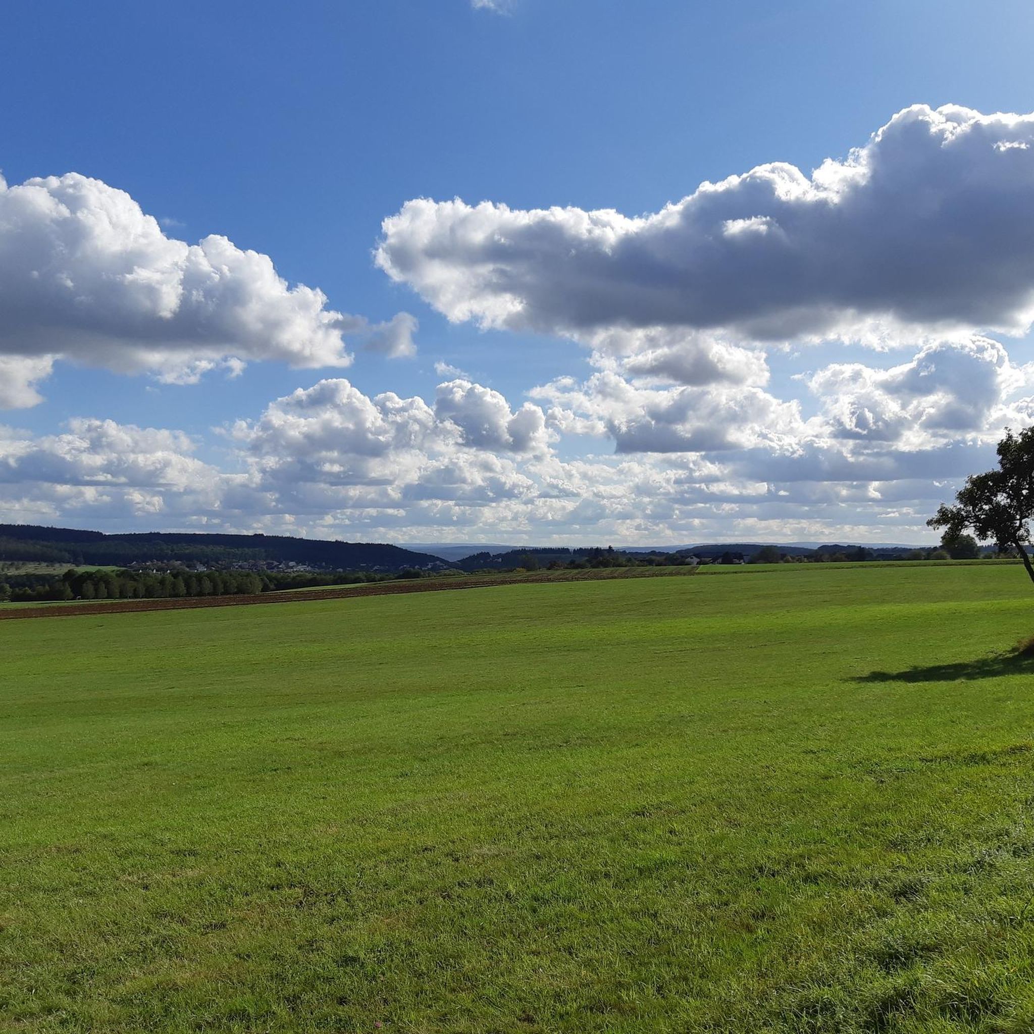
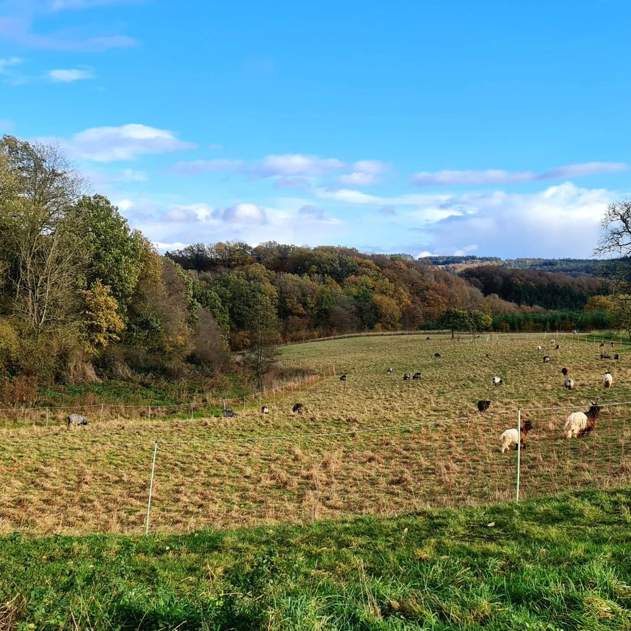
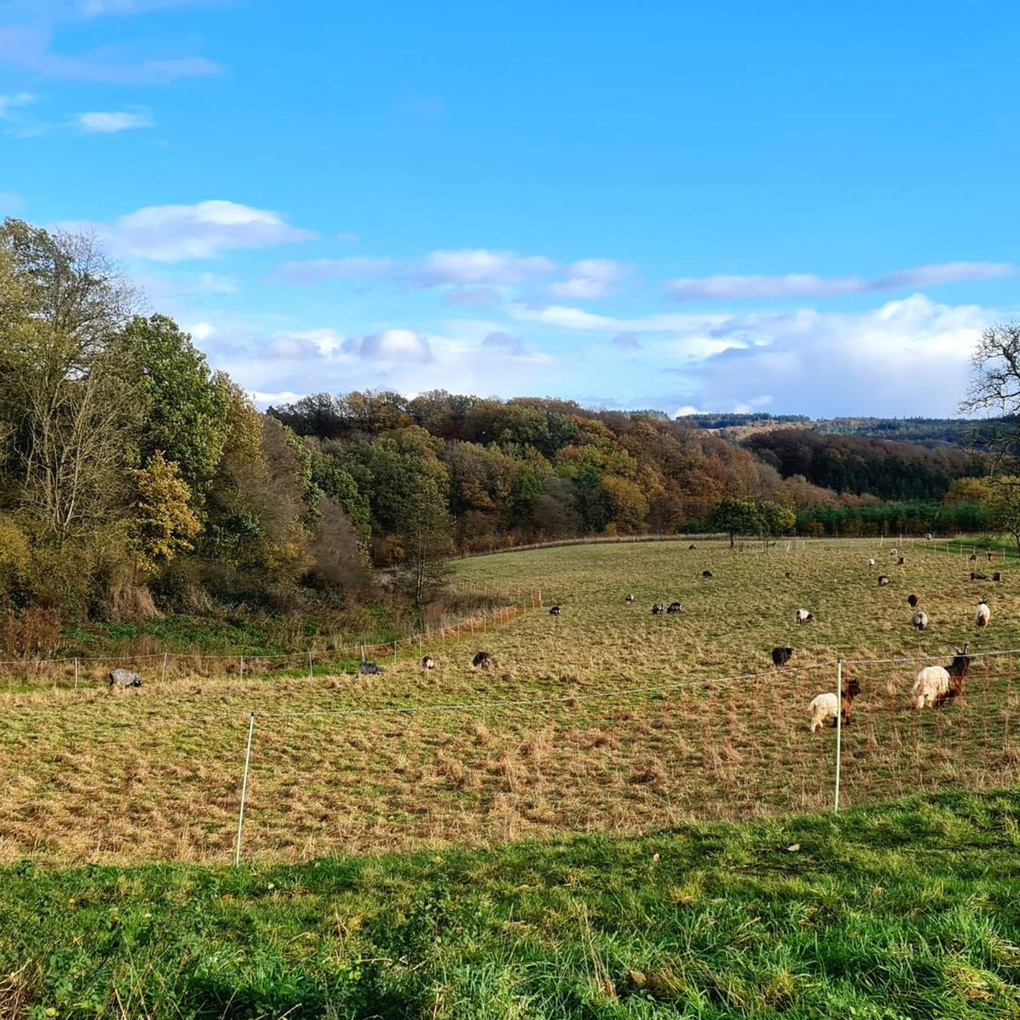
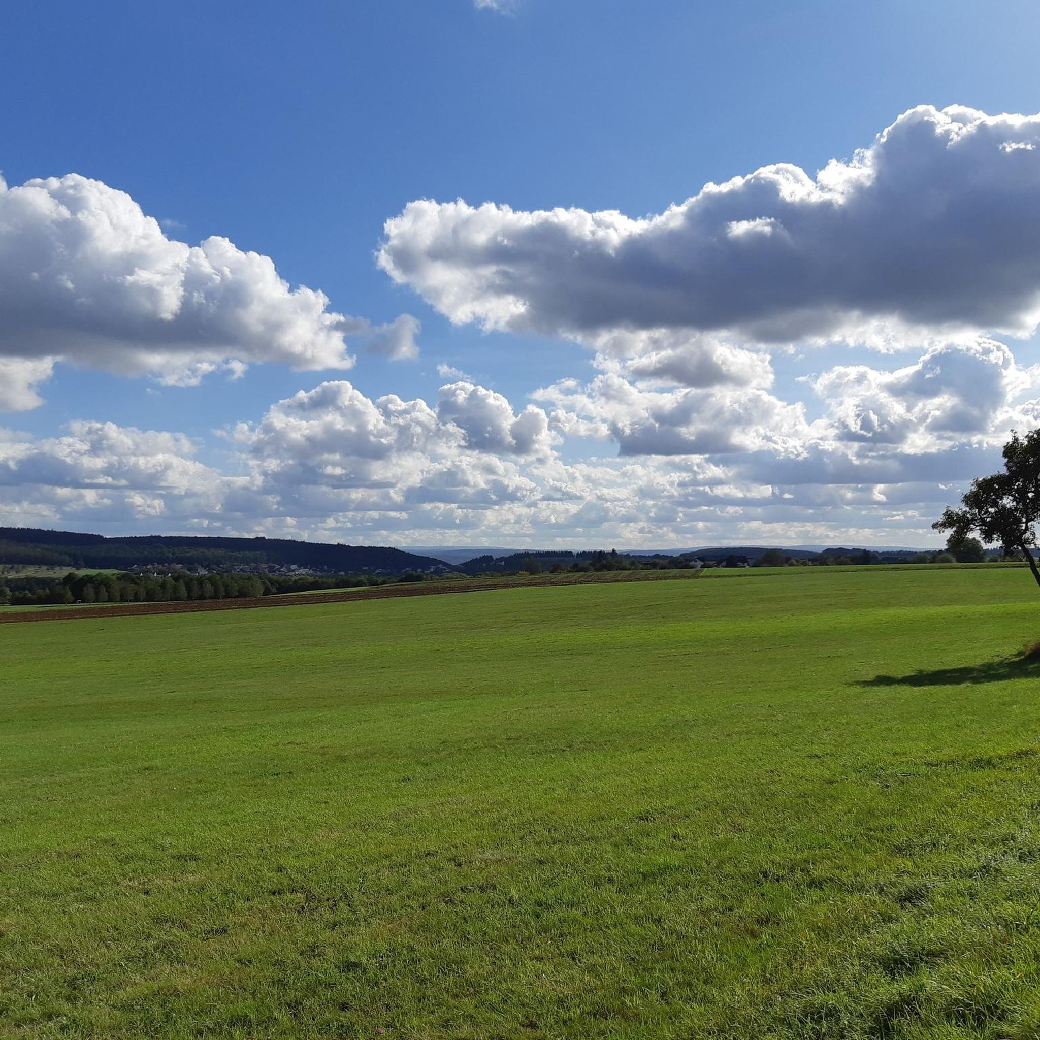
Tips from the Community

Trail up to the cross, then a final sprint and then back down the wide path with the great view. Fun! 🌄🏃♂️📯
1
0

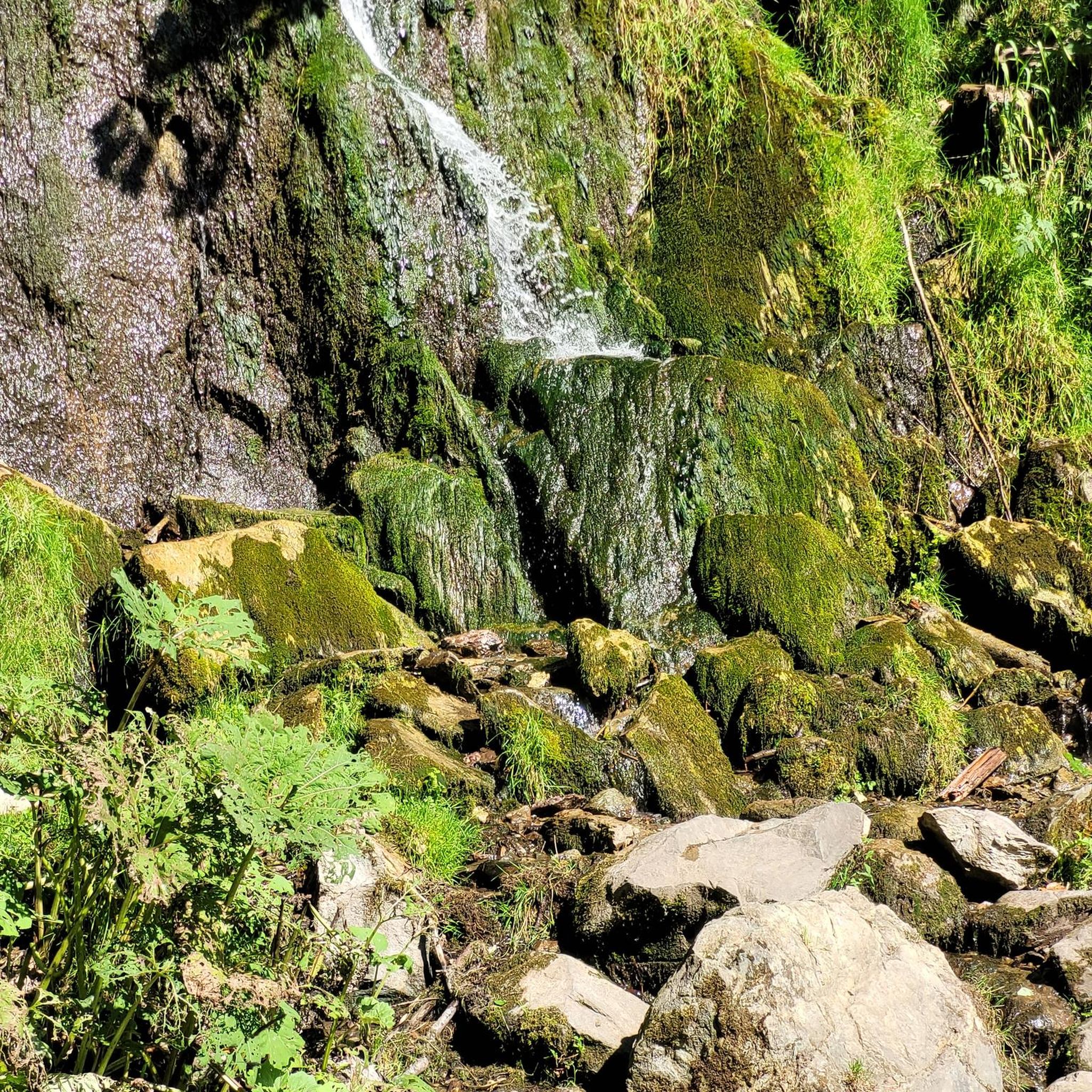
The floor is lava! Well, big boulders with solidified lava.
0
0

Beautiful section of the path that leads us between lava rocks to the Windsborn crater lake.
2
0

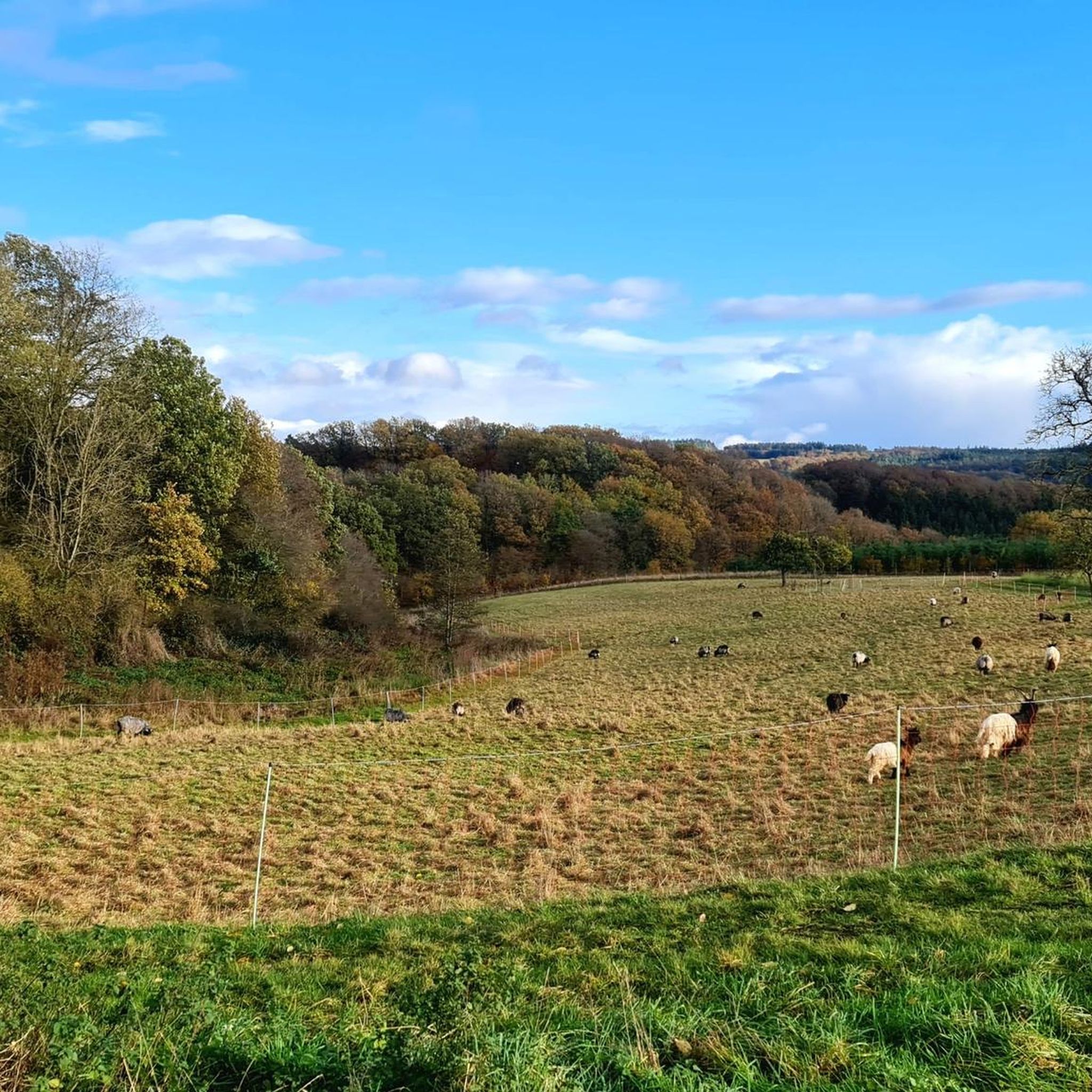
After the climb you will be rewarded with a great view of the Liesertal
0
0
View far below to the Lieser and the surrounding hills
0
0
The path to the small platform goes directly to the left of the hut and is a bit overgrown. The view is great 👍
0
0

Great to ride up on a mountain bike. But it's better to push the last 10m
2
0

The Liesertal reminds me of a small edition of the famous Moselle loop. Very nice place to rest in the associated hut. Above all, it is halfway in the middle of the 3rd stage of the Lieser path.
1
1
Frequently Asked Questions
What unique natural features can I explore around Gipperath?
The region is rich in volcanic formations. You can visit the Windsborn Crater summit, which features one of the few volcanic crater lakes north of the Alps, formed around 30,000 years ago. Nearby, you'll find the Lava rock formations at the summit of Mosenberg, offering a mystical experience, especially in autumn fog.
Are there any historical sites or geological landmarks among the peaks near Gipperath?
Yes, the Neuerburger Kopf is a striking geological landmark, estimated to be around 108 million years old, significantly older than the Eifel's maars. It once hosted a robber baron's castle and even vineyards, making it a site of both geological and historical interest.
What are the best viewpoints to experience the Vulkaneifel landscape?
For expansive views, head to the Mosenberg Lookout Tower. From its top, you can enjoy beautiful vistas to the north towards the Meerfelder Maar and to the east towards Manderscheid. The Windsborn Crater summit also offers a unique perspective overlooking its crater lake.
What kind of hiking opportunities are available near Gipperath's peaks?
The area around Gipperath offers diverse hiking opportunities. You can find routes like the easy "Noogen Cross – Plein Hiking Car Park loop" or the moderate "Plein Hiking Car Park – Noogen Cross loop." For more options, explore the Hiking around Gipperath guide.
Are there any challenging climbs or unique outdoor activities in the area?
For those seeking a challenge, the Summit Cross at Burgen Klettersteig marks the end of a challenging via ferrata, offering great views and an exciting climbing experience.
What is the best time to visit the mountain peaks and natural features around Gipperath?
While the region is beautiful year-round, autumn can offer a particularly mystical experience, especially around the Lava rock formations at the summit of Mosenberg when fog adds to the atmosphere. The Mosenberg Lookout Tower provides clear views on sunny days.
Are there family-friendly options for exploring the elevated areas near Gipperath?
Many of the trails around Gipperath are suitable for families, especially the easy and moderate hiking routes. For example, the "Noogen Cross – Plein Hiking Car Park loop" is an easy option. You can find more family-friendly routes in the Easy hikes around Gipperath guide.
What do visitors particularly enjoy about the mountain peaks and viewpoints in this region?
Visitors appreciate the unique volcanic landscape and the quiet, natural settings. The Windsborn Crater summit is often highlighted as an ideal, quiet place for a breather, offering a unique glimpse into the region's volcanic history. The scenic views from various lookout points are also highly valued.
Can I find cycling routes near the mountain peaks of Gipperath?
Yes, the region offers various cycling routes. For road cycling, you can explore options like the "Mosel-Maare Cycle Path – Old Plein Railway Station loop." More details are available in the Road Cycling Routes around Gipperath guide.
What is the general elevation and terrain like in Gipperath and its surrounding areas?
Gipperath itself is characterized by a hilly landscape with an average elevation of 370 meters, reaching a maximum of approximately 407 meters. The broader Vulkaneifel region features diverse volcanic formations and elevated points, offering varied terrain from gentle slopes to more challenging climbs like the via ferrata at Burgen.
How can I learn more about the geological history of the Vulkaneifel region?
The region's geological history is evident in features like the 108-million-year-old Neuerburger Kopf and the 30,000-year-old Windsborn Crater lake. The Maarmuseum in Manderscheid, visible from the Mosenberg Lookout Tower, also provides insights into the volcanic past of the Eifel.
Most popular routes around Gipperath
Most popular attractions around Gipperath

Get inspired with the komoot mobile app


Explore more
See even more amazing summits around Gipperath with these guides:
