The 8 Most Amazing Peaks around Irsch
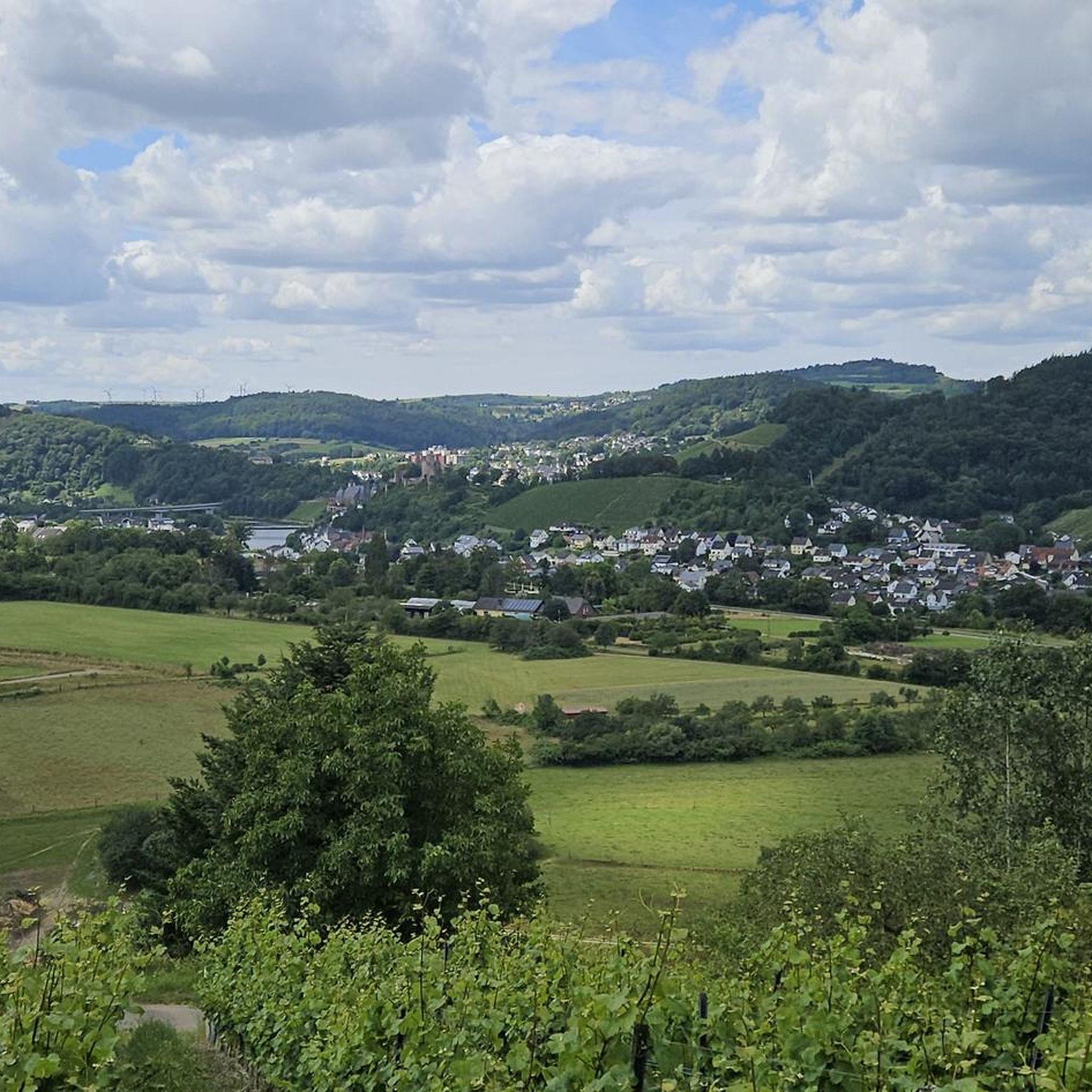
Best mountain peaks around Irsch are found within the Hunsrück, a low mountain range in Rhineland-Palatinate, Germany. This region is characterized by green forests and rolling hills, offering numerous opportunities for outdoor activities. While Irsch itself features elevated areas rather than towering alpine peaks, the surrounding landscape provides scenic trails and viewpoints. The area is ideal for those seeking nature immersion and panoramic views.
Best mountain peaks around Irsch
- The most popular mountain peaks is Maunert Summit Cross (416 m)…
Last updated: September 30, 2026
Adelsfelsen
Highlight • Natural Monument
Translated by Google •
Tip by

Maunert Summit Cross (416 m)
Highlight • Summit
Translated by Google •
Tip by

Sign up now to discover places like this
Get recommendations on the best single tracks, peaks, & plenty of other exciting outdoor places.
Bockstein Summit
Highlight • Summit
Translated by Google •
Tip by

Highest point of the Felsenweg (569 m)
Highlight • Summit
Translated by Google •
Tip by

Hosteturm (Highest point on the Saargau)
Highlight • Viewpoint
Translated by Google •
Tip by

Sign up for free to discover even more peaks around Irsch.
Already have an account?
Start today with a free account
Your next adventure awaits.

Tips from the Community

Use the stairs to the right of the tower to ascend. Pull the door hard, sometimes it is difficult to open.
0
0

The route is 13.5 km long and runs through hilly terrain with several challenging climbs (highest point 569 m), as well as smaller climbing sections, and is therefore classified as moderately difficult. Allow 5 to 6 hours with breaks.
2
0
The Adelsfelsen are a highlight of the dream loop Felsenweg in the Saar-Hunsrück-Steig near Losheim-Waldhölzbach. They offer an impressive quartzite rock formation, which is often used as a climbing passage with rope support. The 13.7 km long, moderately difficult loop leads through the picturesque Wölzbachtal, offers spectacular views, Kneipp facilities, and a “Roman castle“.
1
0

wide view to Luxembourg
0
0

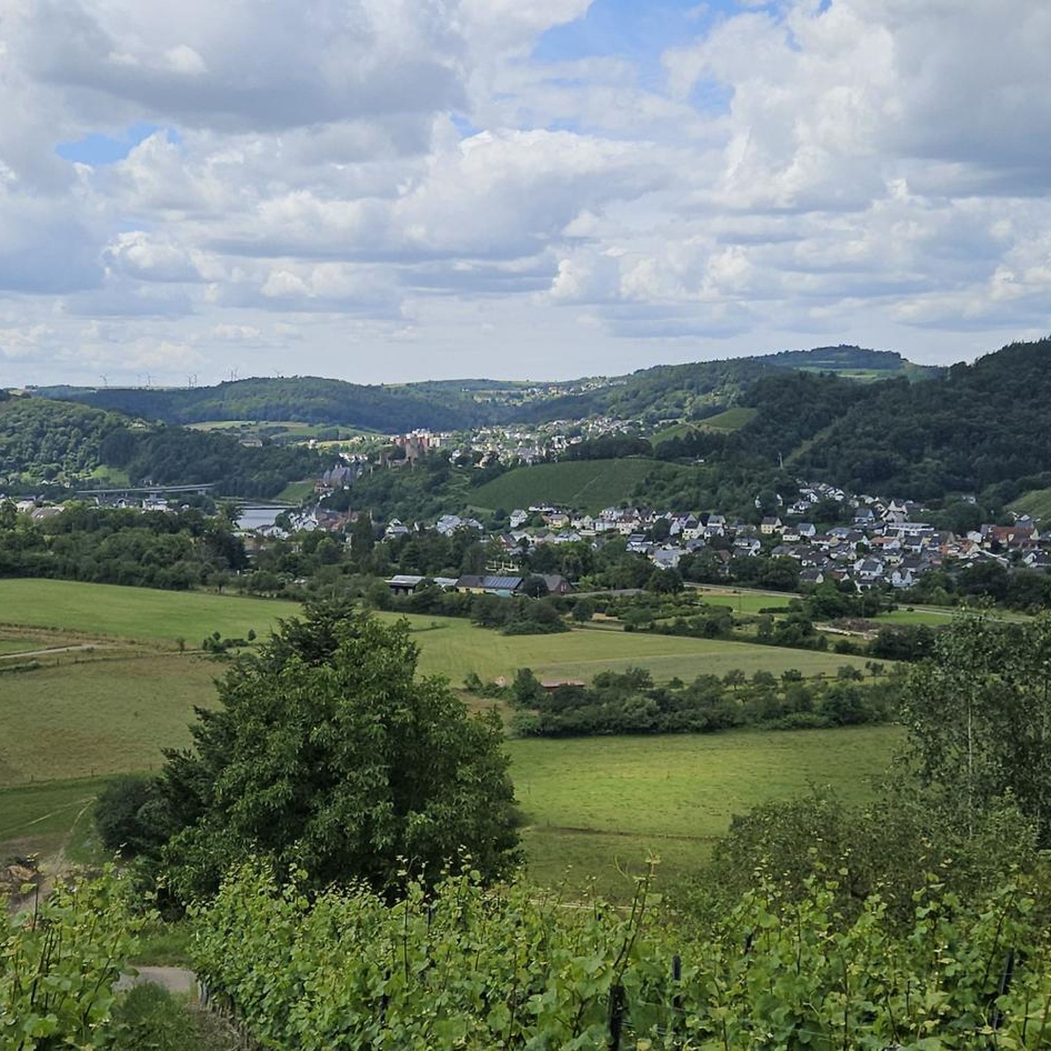
Great view of the beautiful Saar Valley
0
0
A great view of the beautiful Saar Valley
0
0

The Hosteturm was built in 1911-1912 as a water tank and observation tower on the highest elevation between the Saar and Moselle at 435 mm above sea level under District Administrator Karl Brügmann. The construction sealed the end of the village well for 40 communities, because since then the tower has secured the water supply of the Saargau. Construction of the elevated tank began on June 1, 1911. It was completed and connected to the grid in December of the same year. The construction costs amounted to 1,200,000 marks. On January 13, 1912, water was pumped to ten municipalities, including Kahren and Niederleuken. 2 years later, 41 communities up to today's Saarland were supplied. The water first came from the district waterworks near Wawern, but now it comes from the Mannebach valley via a 4.5 km long delivery line. Every year, 240,000 cubic meters of water flow through the elevated tank. The tower is now the property of the Saar - Obermosel water supply.
1
0

Is very easy to walk, ropes are also available if necessary.
0
0
Frequently Asked Questions
What are the most popular mountain peaks and viewpoints around Irsch?
Among the most popular elevated points are the Maunert Summit Cross (416 m), offering fantastic views towards Serrig and Taben-Rodt, and Bockstein Summit, known for its beautiful trails and photo opportunities. Another significant spot is the Hostenturm (Highest Point on the Saargau), which provides expansive views towards Luxembourg or the Hunsrück.
What kind of natural features can I expect to see on the peaks near Irsch?
The region around Irsch, part of the Hunsrück low mountain range, is characterized by green forests and rolling hills. You'll encounter picturesque landscapes, bizarre rock formations like those at Adelsfelsen, and quiet forest paths leading to various summits and viewpoints. Many spots offer panoramic vistas over the surrounding valleys and forests.
Are there family-friendly mountain hikes around Irsch?
While some trails require sure-footedness, many routes in the Irsch region are suitable for families. For example, the path to the Maunert Summit Cross (416 m) is described as very easy to walk, even for sure-footed children, despite some rocky sections. The area's rolling hills and well-maintained paths make it generally accessible for various fitness levels.
What is the best time of year to hike the peaks around Irsch?
The region is particularly appealing during spring and summer, from May to August, when the green forests and rolling hills are most vibrant. This period offers ideal conditions for hiking and enjoying the stunning scenery. However, the Hunsrück also provides opportunities for winter activities, especially at higher elevations like Erbeskopf, which is known for skiing.
What outdoor activities can I do near the mountain peaks around Irsch?
The area is excellent for various outdoor activities. You can explore numerous hiking trails, including popular 'dream loops' like the 'Irscher Hochwaldpfad' and 'Kasteler Felsenpfad'. Long-distance routes like the Saar-Hunsrück Climb also pass through the region. For more specific routes, you can find options for hiking, gravel biking, and running around Irsch.
Are there any historical or cultural sites on or near the peaks?
Yes, the region combines natural beauty with cultural heritage. The Hostenturm, for instance, is not only a viewpoint but also a historical water tower built in 1911/12. Additionally, you might encounter traditional wayside crosses, such as those near Bockstein Summit, which are significant cultural markers in the landscape.
What are some tips for hiking the trails to these peaks?
Many trails, especially those with rocky sections or steep descents like at Adelsfelsen, require good hiking shoes and sure-footedness. Some paths, like the one to Maunert Summit Cross, feature benches and rest areas, perfect for taking a break and enjoying the views. Always be prepared for varying terrain.
Where is the highest point in the immediate Irsch region?
While the Erbeskopf (816 m) is the highest mountain in Rhineland-Palatinate and part of the broader Hunsrück, within the immediate vicinity of Irsch, the Hostenturm stands on the highest elevation between the Saar and Moselle at 435 meters. Another notable high point is the Highest point of the Felsenweg (569 m).
What do visitors enjoy most about the mountain peaks around Irsch?
Visitors frequently praise the stunning scenery, the tranquility, and the immersive nature experience. The panoramic views from summits and viewpoints are highly appreciated, as are the well-maintained hiking trails that lead through quiet forests and past unique natural formations. The opportunity to escape into nature and enjoy expansive vistas is a common highlight.
Are there circular walks available around the Irsch mountains?
Yes, the region is known for its excellent network of hiking trails, including many circular routes. The 'Irscher Hochwaldpfad' and 'Kasteler Felsenpfad' are examples of popular 'dream loops' that offer scenic circular walks. Many of the routes listed in the hiking guide for Irsch are also designed as loops, providing diverse experiences.
Can I find cafes or refreshment stops near the mountain trails?
While specific cafes directly on every mountain trail are not detailed, the region offers various amenities in nearby towns and villages. It's advisable to check local information for Irsch or Saarburg for refreshment options before or after your hike. Many trails also feature benches and rest areas at viewpoints, perfect for a packed snack.
Most popular attractions around Irsch

Get inspired with the komoot mobile app


Explore more
See even more amazing summits around Irsch with these guides:
