The 3 Most Amazing Peaks around Würzweiler
Best mountain peaks around Würzweiler are characterized by the region's hilly terrain, dense forests, and river valleys. While Würzweiler itself does not host towering peaks, it is located near the Donnersberg, the highest mountain in Rhineland-Palatinate. This area offers an extensive network of routes suitable for various fitness levels, providing opportunities for outdoor activities and scenic views.
Best mountain peaks around Würzweiler
- The most popular mountain peaks is Königsstuhl (Donnersberg summit), a summit that offers a fantastic view and…
Last updated: August 7, 2026
Königsstuhl (Donnersberg summit)
Highlight • Summit
Showing Translation
Tip by

Highest Point of Schweisweiler
Highlight • Summit
Translated by Google •
Tip by

Sign up now to discover places like this
Get recommendations on the best single tracks, peaks, & plenty of other exciting outdoor places.
Sign up for free
Bickberg Summit
Highlight • Summit
Translated by Google •
Tip by

Start today with a free account
Your next adventure awaits.
Login or Signup
Tips from the Community

You feel like you're in Allgäu
0
0

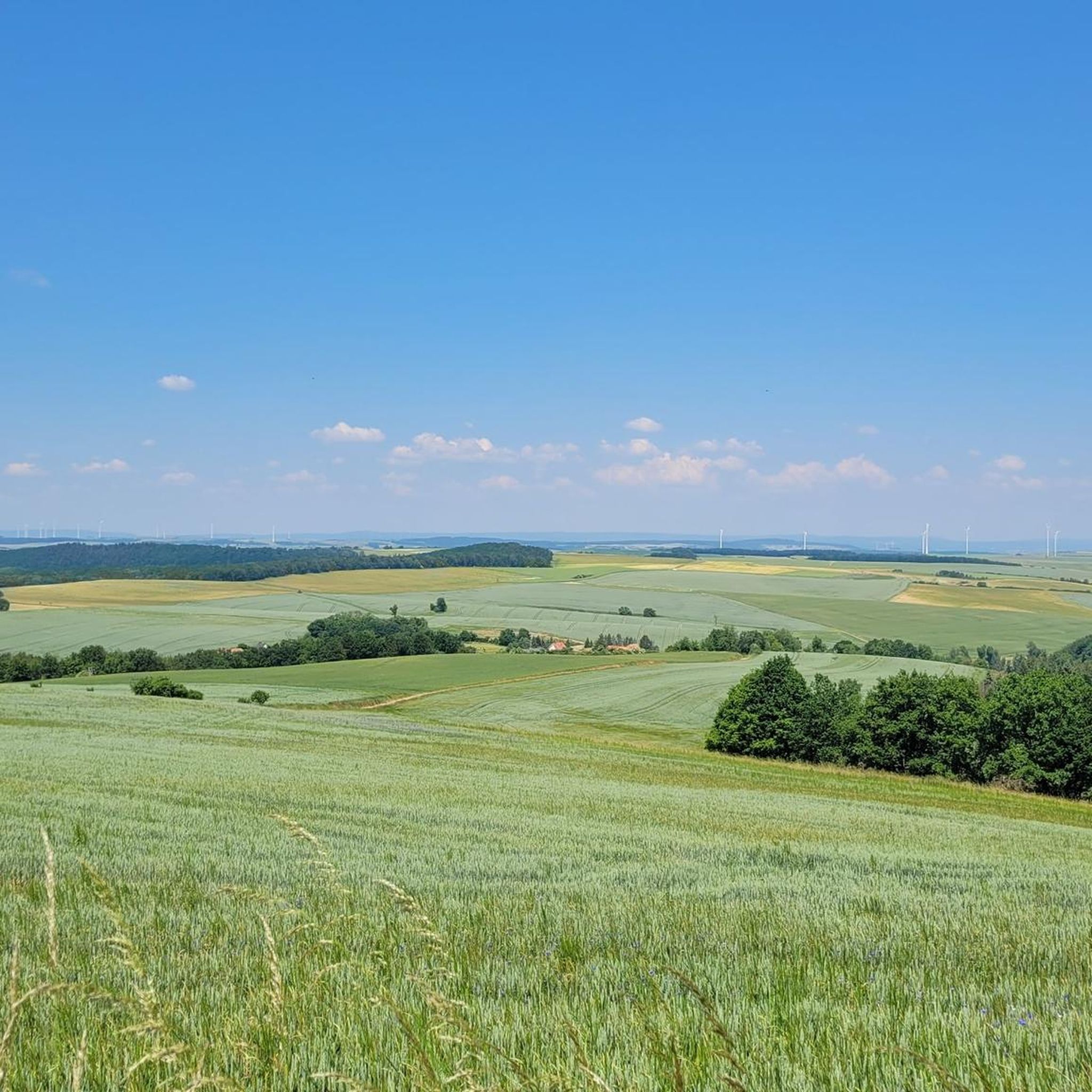
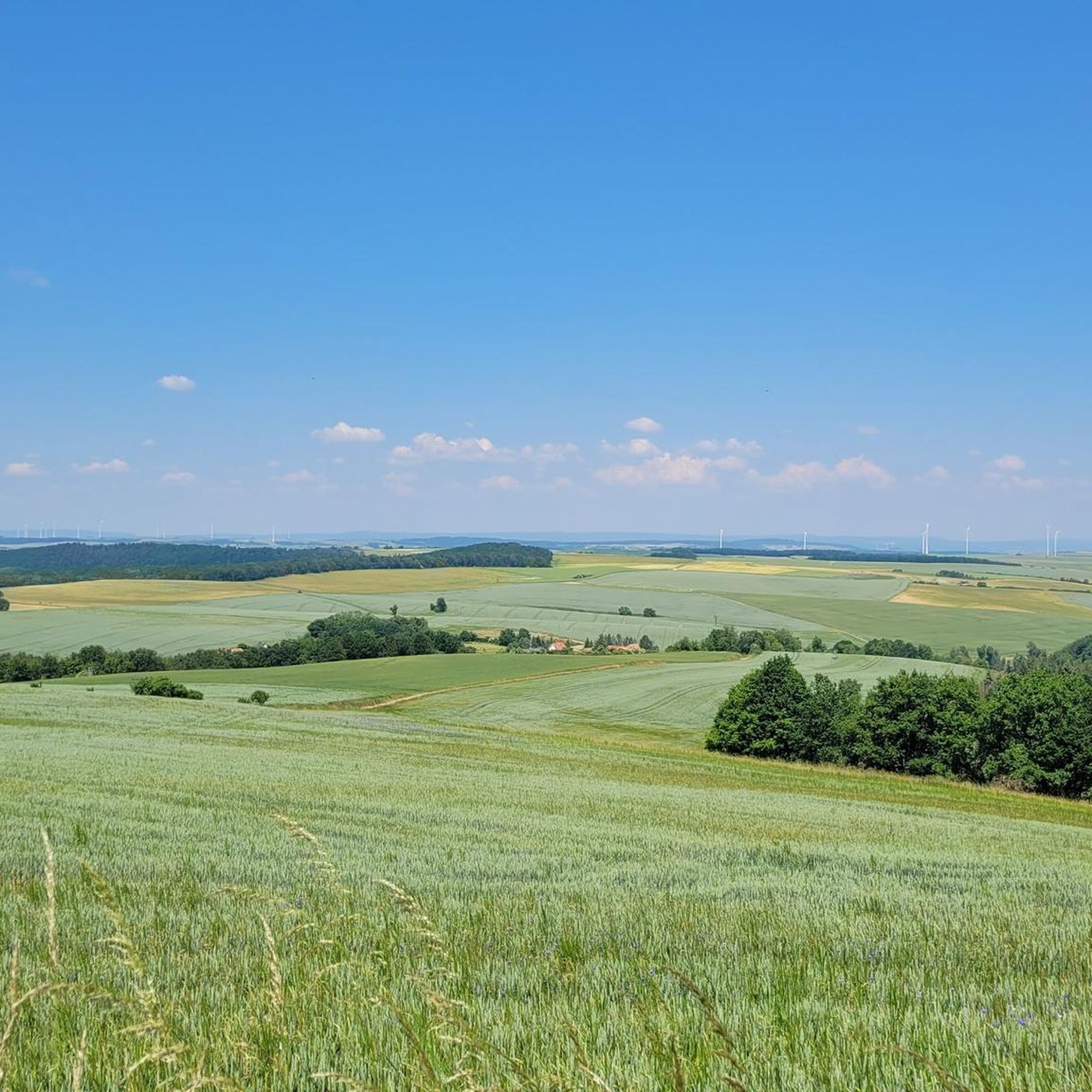
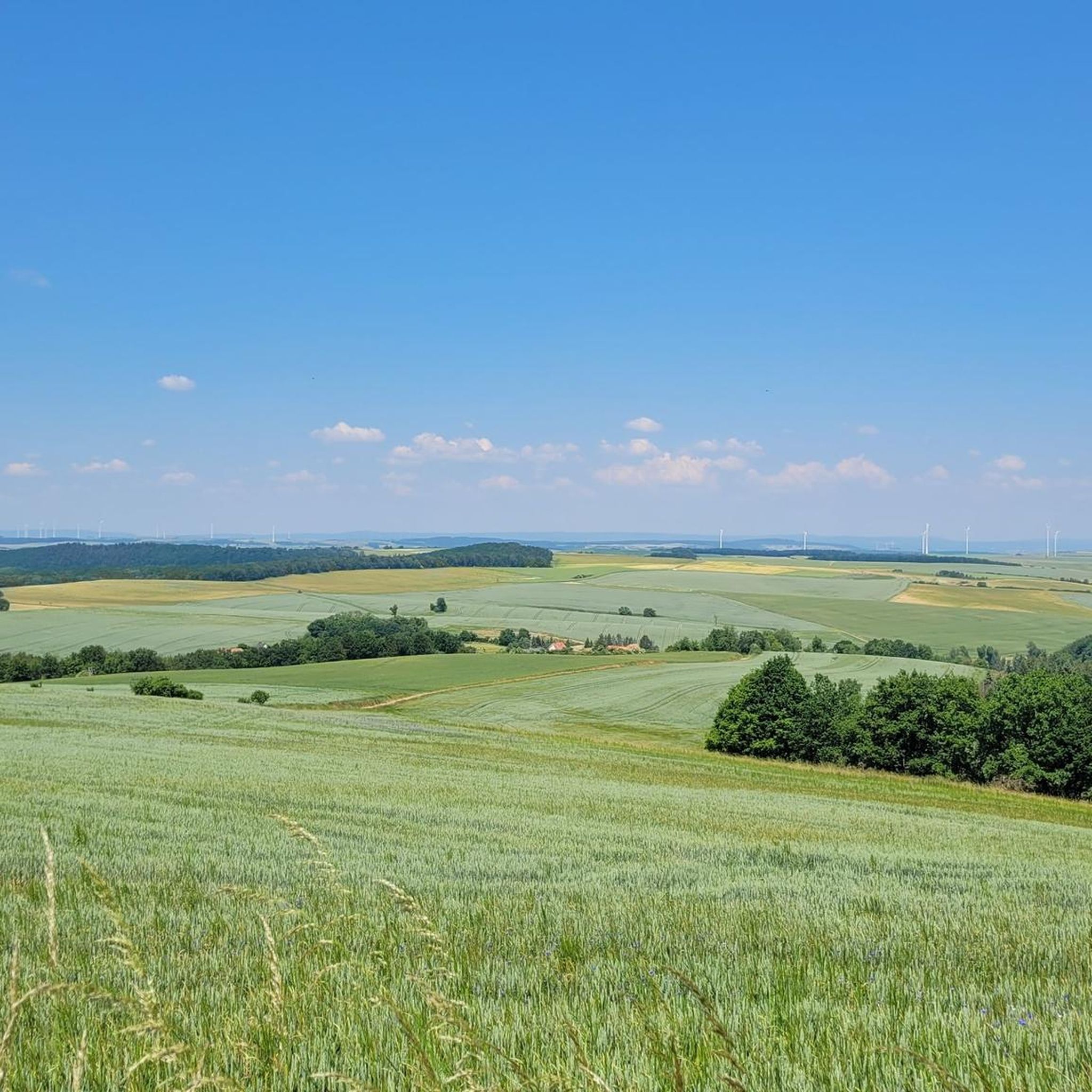
The municipality of Schweisweiler, with around 383 inhabitants, is located in the narrow valley of the river Alsenz, surrounded by steep mountains. Up here, you can enjoy a wonderful view!
1
0

Nice view home 🌳✅
0
0

Steep climb from Falkenstein.
0
0

The highest elevation on the way between Krobuchenhütte and Grüner Löwe
1
0
Gigantic view. And I don't find the many wind turbines disturbing either. At least nicer than KKW's.
13
1

A great view from the highest mountain in RLP - a visit is definitely worth it
10
0

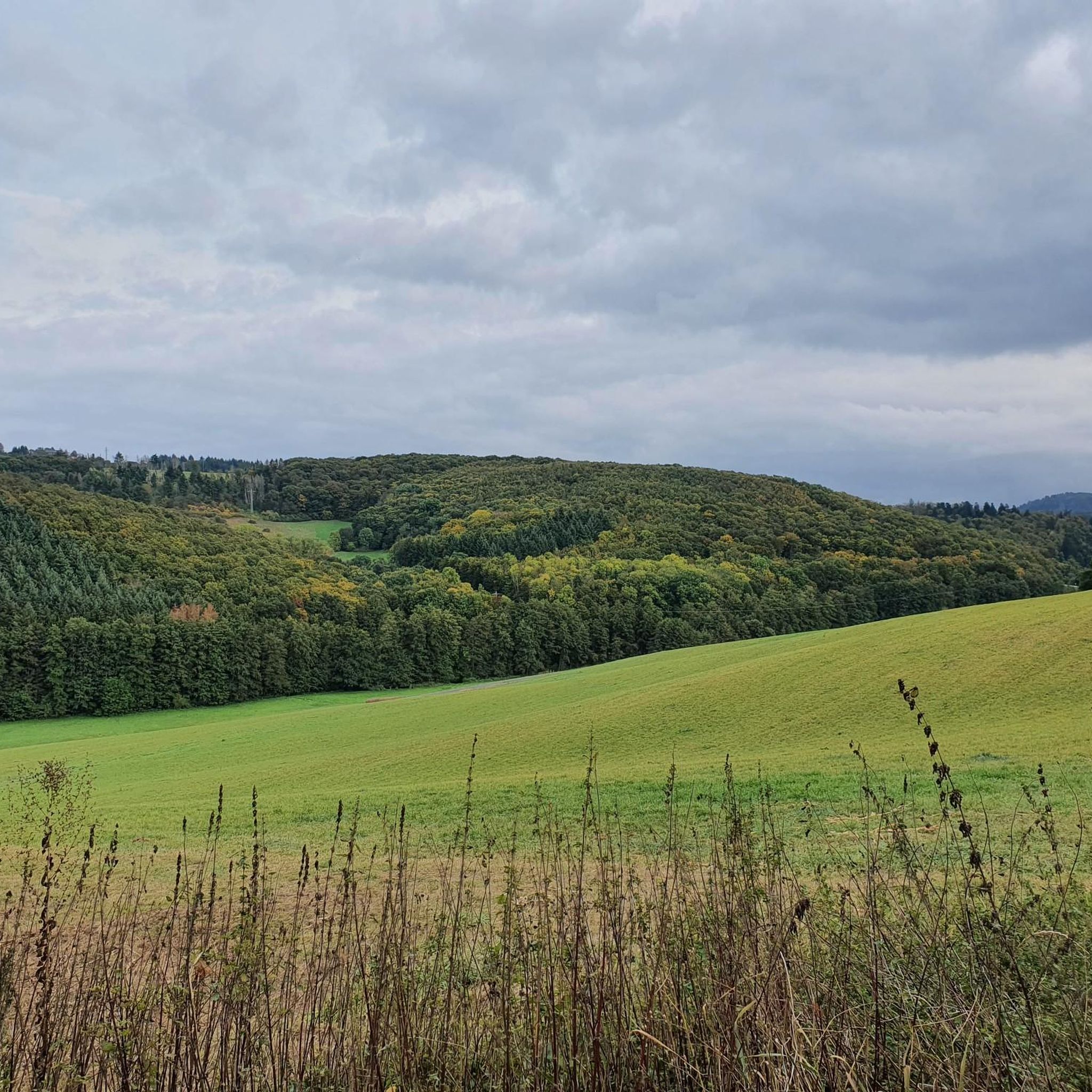
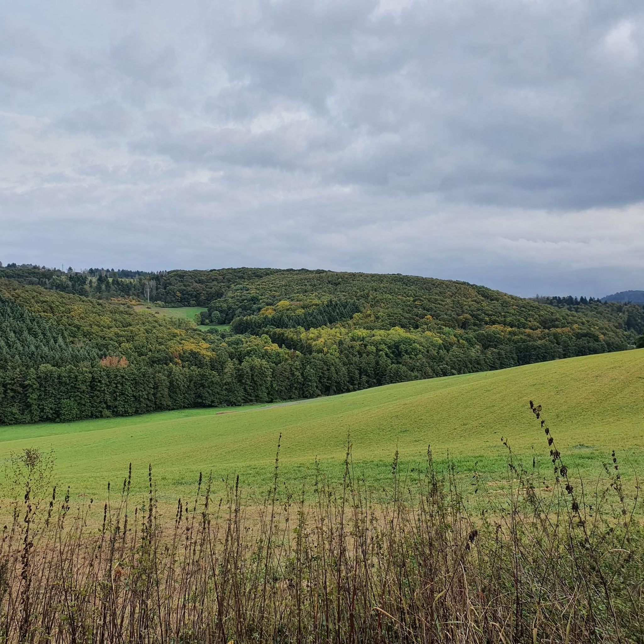
from here you have a beautiful view of the North Palatinate Forest,
0
0
Frequently Asked Questions
What are the most significant mountain peaks to explore near Würzweiler?
The most prominent peak in the region is the Königsstuhl (Donnersberg summit), which is the highest point in the Palatinate at 686.5 meters. It offers fantastic views and a great sense of achievement. Other notable elevations include the Highest Point of Schweisweiler, known for its nice views and a resting bench, and the Bickberg Summit, which is the highest point between Krobuchenhütte and Grüner Löwe.
Are there family-friendly hiking options around the mountain peaks near Würzweiler?
Yes, the region around Würzweiler and the Donnersberg offers a variety of trails suitable for different fitness levels, including easier walks. The area's hilly terrain and dense forests provide a peaceful environment for families to explore. For less strenuous walks with rewarding scenic vistas, consider routes that offer views of the Gerbacht Valley, such as the 'Bench With a View of Gerbacht – View of Gerbacht loop from Ruppertsecken'.
What kind of natural features and views can I expect on these peaks?
You can expect diverse natural features, including dense forests, river valleys, and panoramic viewpoints. The Königsstuhl (Donnersberg summit) provides extensive views of the Palatinate region. Many trails lead to elevated points that open up to wonderful vistas down into the valleys, such as those overlooking the Gerbacht Valley.
Are there any historical or cultural sites to see on the mountain peaks?
Yes, the Donnersberg area is rich in history. You can explore the 'Celtic Rampart Trail' (Keltenhütte – Celtic Rampart Trail), a moderate 9.4-mile (15.2 km) path that delves into the mountain's surroundings and its Celtic heritage. Additionally, the Ludwig tower on the Donnersberg is a listed attraction near Würzweiler, offering historical context to your visit.
What is the best time of year to hike the peaks near Würzweiler?
The Donnersberg and surrounding peaks are worth visiting at any time of the year. While spring and autumn offer pleasant temperatures and vibrant scenery, the trails are also accessible in winter, providing a different, serene experience. Always check local weather conditions before heading out.
Are the mountain trails near Würzweiler suitable for beginners?
Yes, the extensive network of routes around Würzweiler and the Donnersberg includes trails suitable for various fitness levels, from easy walks to more challenging paths. You can find routes that offer rewarding scenic vistas without requiring strenuous climbs, making them ideal for beginners.
What other outdoor activities can I do near the mountain peaks in the Würzweiler area?
Beyond hiking, the region offers excellent opportunities for cycling. You can explore various routes for touring bicycles, mountain bikes, and road cycling. Check out the Cycling around Würzweiler guide for touring routes, the Traffic-free bike rides around Würzweiler guide for easy mountain biking, or the Road Cycling Routes around Würzweiler guide for road cycling adventures.
Where can I find parking for accessing the mountain trails?
While specific parking locations are not detailed in the guide, the Donnersberg area is well-equipped for visitors. It's advisable to look for designated parking areas near popular trailheads or visitor centers at the base of the Donnersberg or in nearby villages like Dannenfels or Ruppertsecken, which serve as starting points for many routes.
Are there places to rest or get refreshments near the mountain peaks?
Yes, some routes in the region pass through local villages or near huts and restaurants, offering opportunities for breaks and refreshments. For example, the Highest Point of Schweisweiler even has a bench for resting. The area around the Donnersberg also provides amenities for hikers.
What do visitors particularly enjoy about the Donnersberg summit?
Visitors consistently highlight the Königsstuhl (Donnersberg summit) for its fantastic panoramic views and the rewarding feeling of reaching the highest point in the Palatinate. Many appreciate the variety of hiking trails with different difficulty levels and the beautiful scenery available throughout the year.
Can I bring my dog on the mountain trails around Würzweiler?
Generally, dogs are welcome on most outdoor trails in the region. However, it's always recommended to keep them on a leash, especially in nature reserves or areas with wildlife, and to check for any specific local regulations or restrictions before your visit.
How long does it typically take to hike the peaks near Würzweiler?
Hiking durations vary greatly depending on the specific trail and your pace. For instance, the 'Celtic Rampart Trail' on the Donnersberg is a moderate 9.4-mile (15.2 km) path, which could take several hours. Shorter, easier loops like the 'Bench With a View of Gerbacht' are around 4.1 miles (6.7 km) and can be completed in a couple of hours. Always check the route details for estimated times.
Most popular attractions around Würzweiler

Get inspired with the komoot mobile app


Explore more
See even more amazing summits around Würzweiler with these guides:
