The 3 Most Amazing Peaks around Gehrweiler
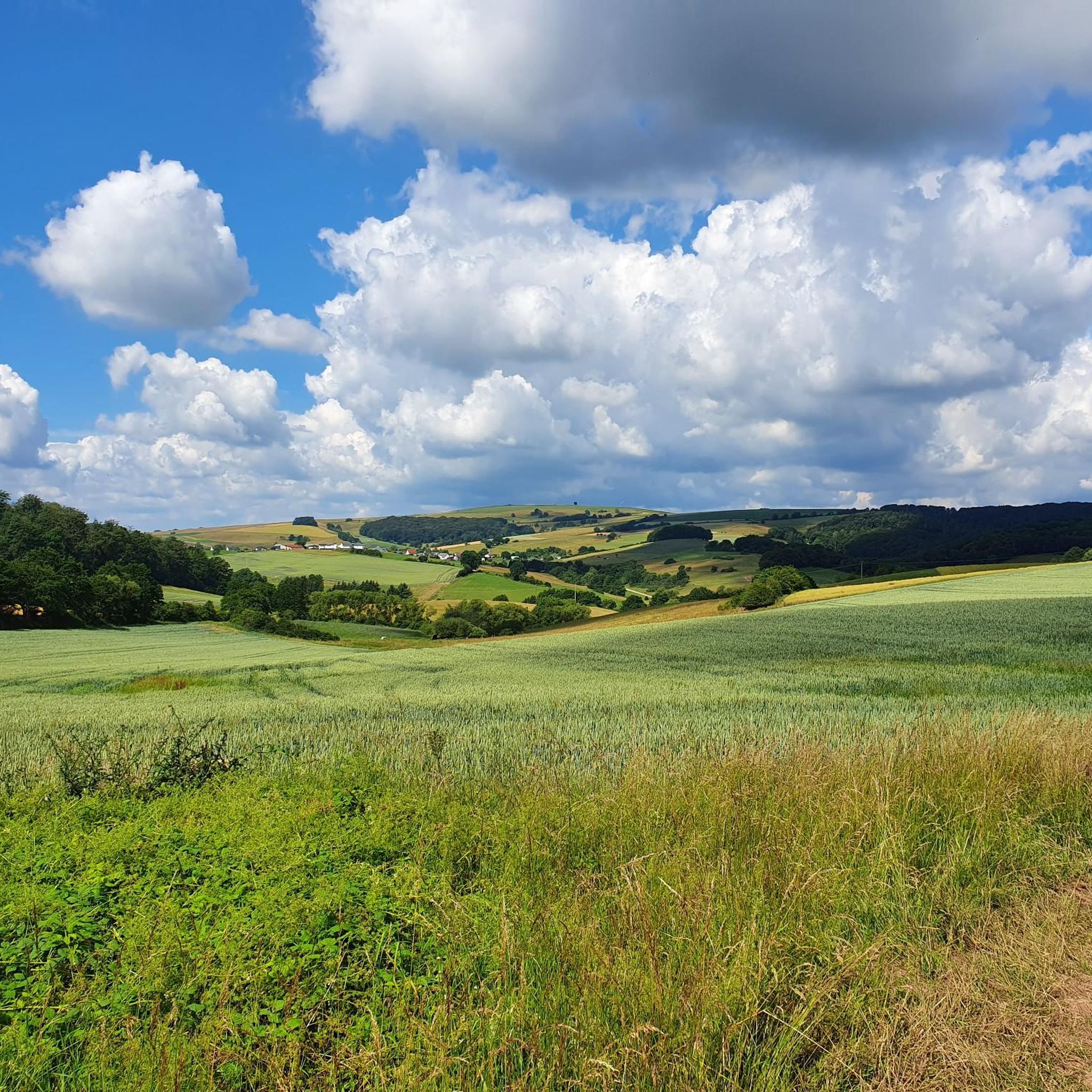
Best mountain peaks around Gehrweiler are characterized by rolling hills, expansive vineyards, and significant forest coverage. The region, with an average altitude of 250 meters, features elevated points and historical sites rather than prominent mountain peaks. Gehrweiler offers varied terrain suitable for hiking, road cycling, and mountain biking. The landscape provides scenic views and recreational opportunities across its hills and forested areas.
Best mountain peaks around Gehrweiler
- The most popular mountain peaks is Highest Point of Schweisweiler, a summit…
Last updated: August 7, 2026
Highest Point of Schweisweiler
Highlight • Summit
Translated by Google •
Tip by

Streifelsberg
Highlight • Summit
Translated by Google •
Tip by

Sign up now to discover places like this
Get recommendations on the best single tracks, peaks, & plenty of other exciting outdoor places.
Sign up for free
Bickberg Summit
Highlight • Summit
Translated by Google •
Tip by

Großer Plattkopf
Highlight • Summit
Showing Translation
Tip by

Start today with a free account
Your next adventure awaits.
Login or Signup

Tips from the Community

You feel like you're in Allgäu
0
0

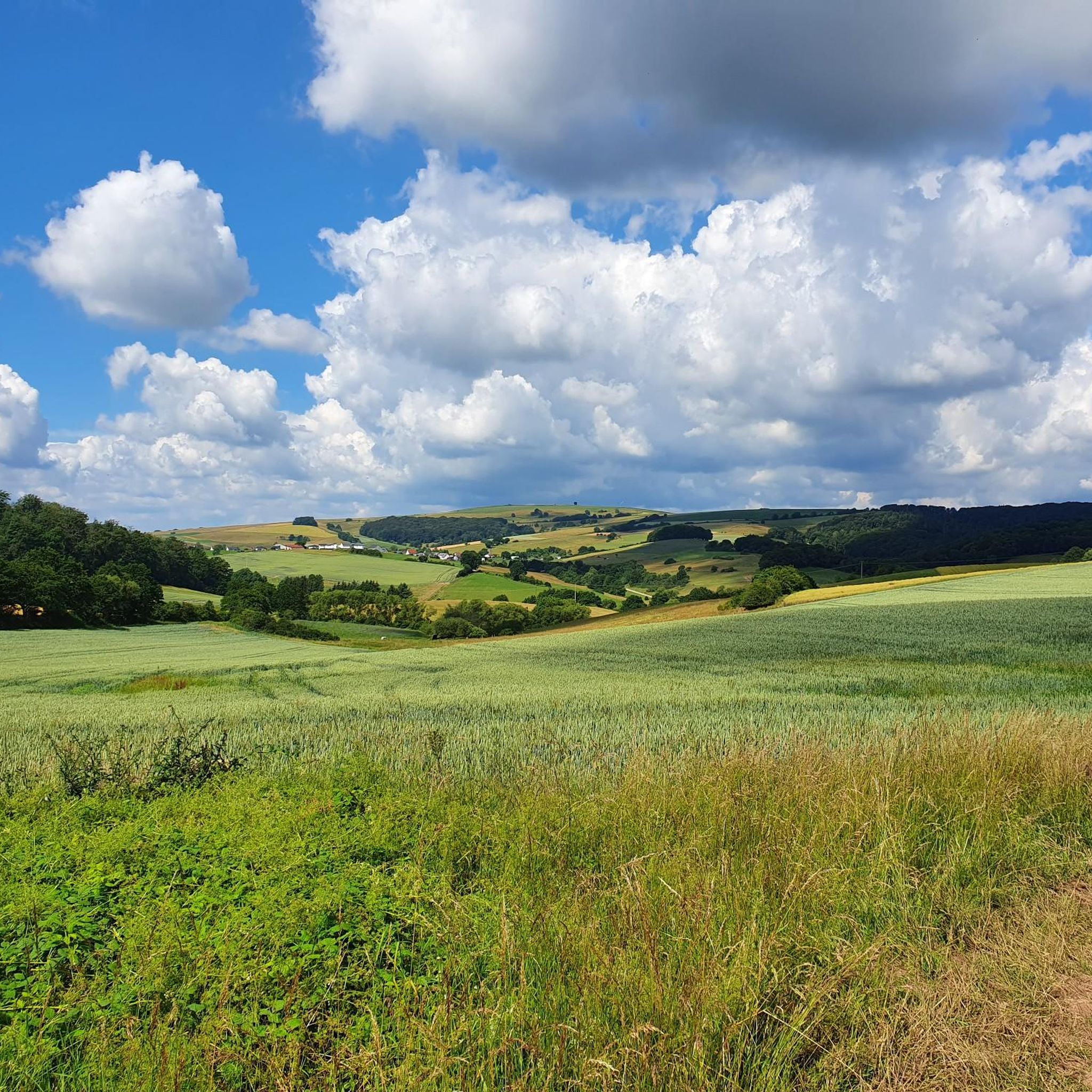
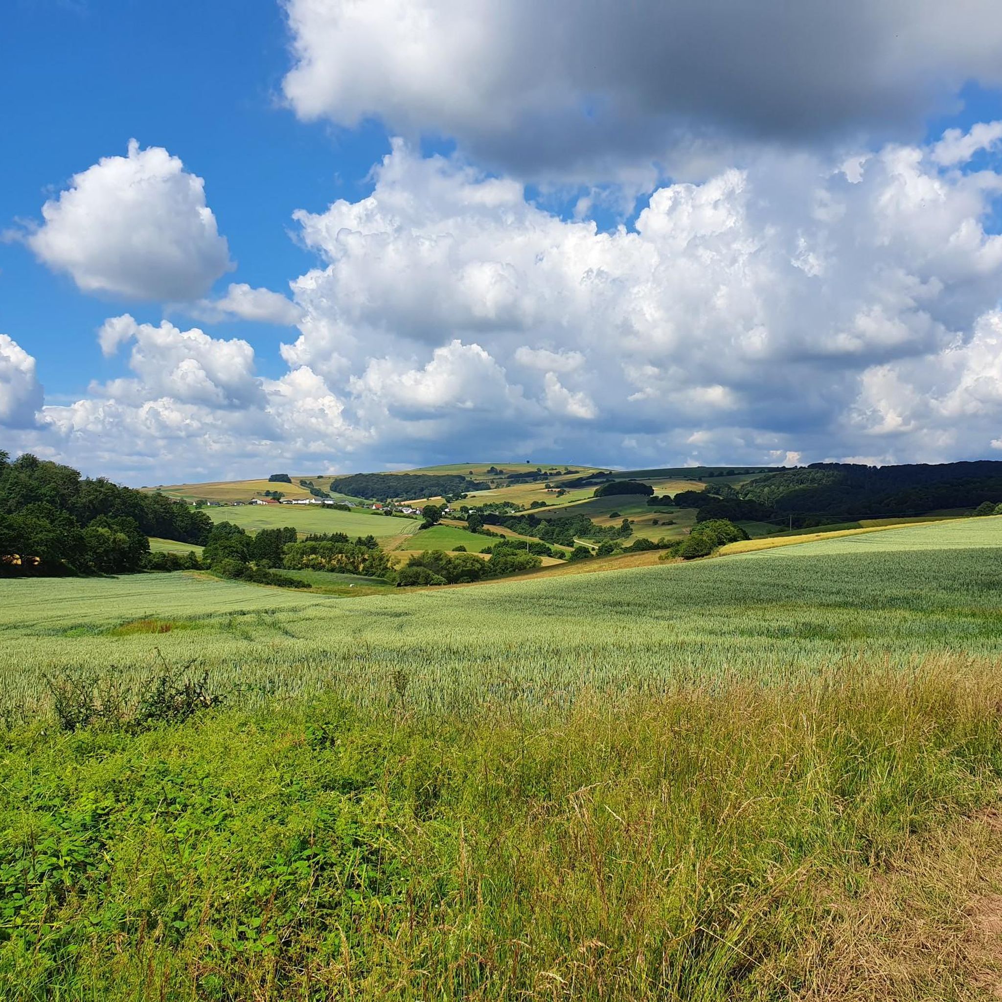
The municipality of Schweisweiler, with around 383 inhabitants, is located in the narrow valley of the river Alsenz, surrounded by steep mountains. Up here, you can enjoy a wonderful view!
1
0

Nice view home 🌳✅
0
0

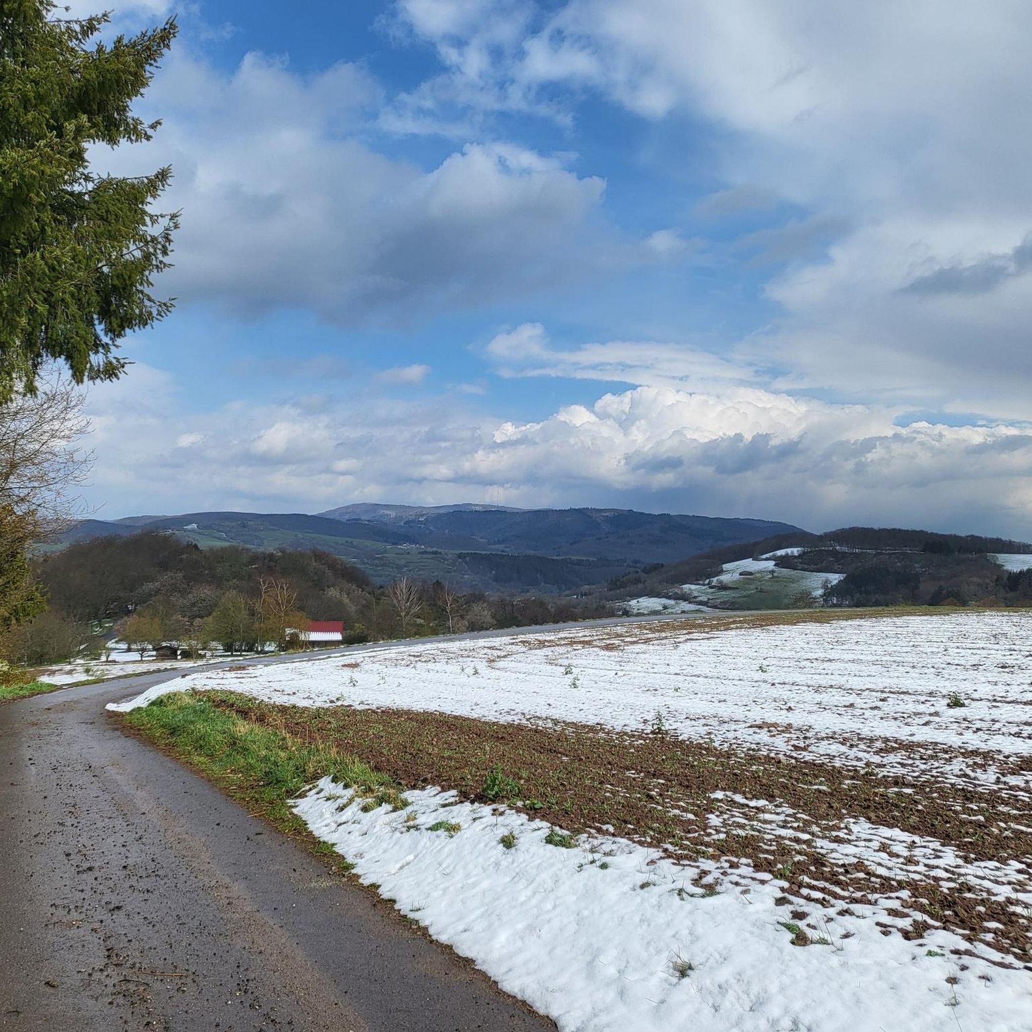
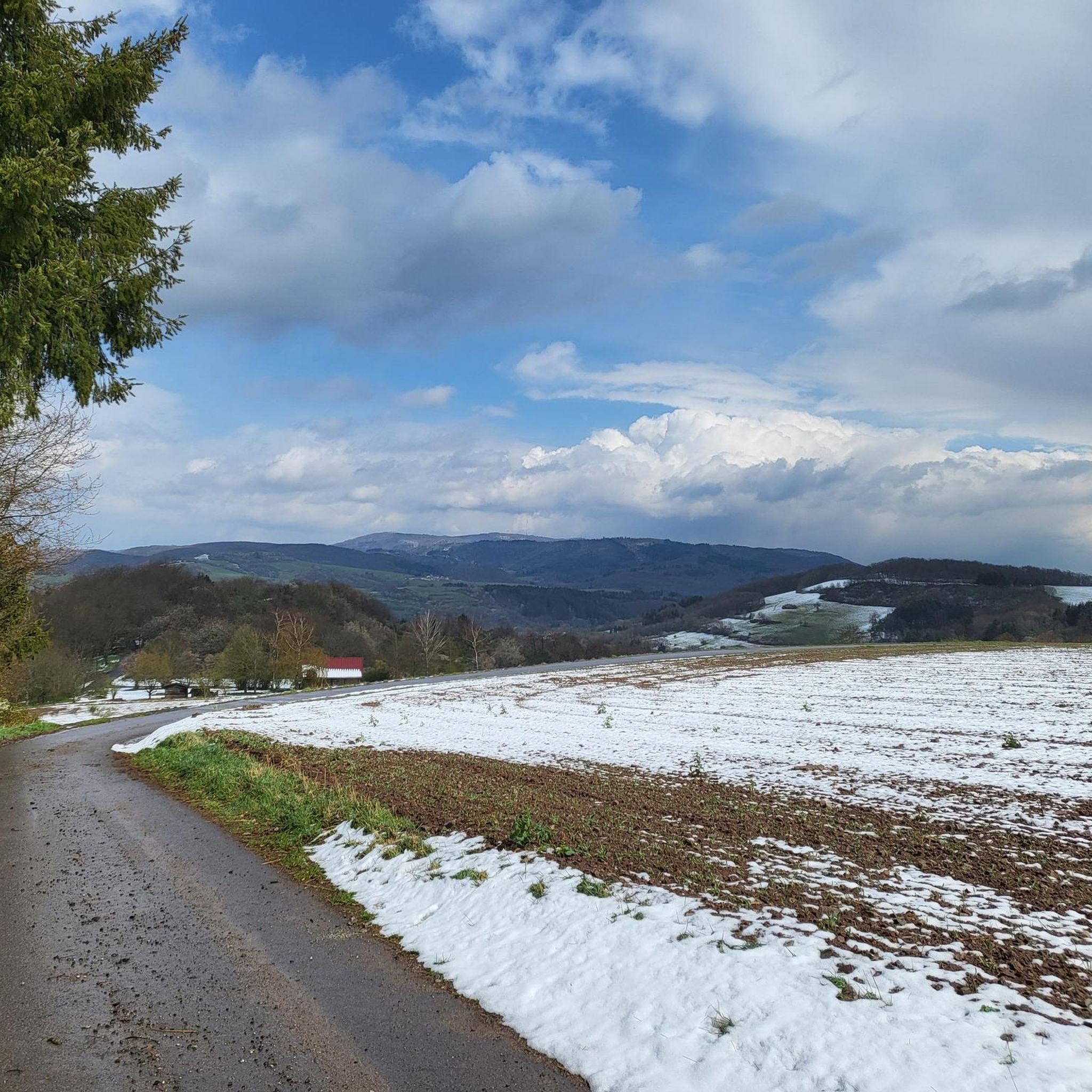
Steep climb from Falkenstein.
0
0

The highest elevation on the way between Krobuchenhütte and Grüner Löwe
1
0

from here you have a beautiful view of the North Palatinate Forest,
0
0

I chose the highlight as a waypoint without knowing what to expect. I didn't recognize the highlight or the special thing about this place. But maybe that's just me. Thanks anyway!
1
0
Frequently Asked Questions
What kind of elevated points or 'peaks' can I expect to find around Gehrweiler?
Gehrweiler is characterized by rolling hills and elevated points rather than traditional mountain peaks. These offer scenic views and recreational opportunities. You'll find areas like the Highest Point of Schweisweiler, Streifelsberg, and Bickberg Summit, which provide excellent viewpoints and hiking experiences.
Are there any historical sites associated with the elevated points near Gehrweiler?
Yes, the region offers historical sites with elevated perspectives. The Ruins of Falkenstein Castle, built on a volcanic vent, provides panoramic views of the surrounding area and is a significant historical landmark. You can find a steep climb to the Bickberg Summit from Falkenstein.
What are some popular viewpoints or scenic spots among the elevated areas?
Many of the elevated points offer great views. The Highest Point of Schweisweiler is known for its nice view and a bench to rest. The Kupferberg Hut is another popular spot, highly appreciated by hikers for its great views and resting facilities.
What outdoor activities can I do near the elevated points around Gehrweiler?
The rolling hills and forested areas around Gehrweiler are ideal for various outdoor activities. You can enjoy hiking, road cycling, and mountain biking. For specific routes, explore options like the running trails around Gehrweiler or traffic-free bike rides. For example, there are running loops starting from Heiligenmoschel and Schweisweiler, and mountain biking routes like the 'View of Donnersberg' loop from Münchweiler (Alsenz).
Are there family-friendly hiking options among the elevated points?
While specific 'family-friendly' categories aren't listed for these particular highlights, the general terrain of rolling hills makes many paths accessible. The area's natural landscapes and historical sites like Falkenstein Castle can be engaging for families. Always check route difficulty and length to ensure it suits your family's needs.
What is the best time of year to visit Gehrweiler for outdoor activities?
The region is enjoyable throughout much of the year. Spring and autumn offer pleasant temperatures for hiking and cycling. The Mehlinger Heath, a unique natural landscape nearby, is particularly recommended during its flowering period in August and September. Winter hiking is also possible, but conditions may vary.
Are there any unique natural features to explore besides the elevated points?
Yes, beyond the elevated points, the Mehlinger Heath is a notable natural landscape. It features unique vegetation, including sandy areas, grasslands, and shrub heaths, and is especially beautiful when in bloom during late summer.
What do visitors typically enjoy about the elevated points and trails in this region?
Visitors frequently appreciate the rewarding views after a climb, such as those from the Highest Point of Schweisweiler. The peaceful forest settings, like those found near Streifelsberg and Großer Plattkopf, are also highly valued for their natural beauty and opportunities for quiet reflection.
Where can I find hiking trails that include these elevated points?
You can find various hiking trails that incorporate these elevated points. For instance, the Bickberg Summit is an elevation on the way between Krobuchenhütte and Grüner Löwe. Many routes in the Donnersbergkreis region will lead you through these scenic areas. You can explore guides for running trails or traffic-free bike rides around Gehrweiler for detailed route information.
Are there any specific tips for hiking to the <a href="https://www.komoot.com/highlight/2291948" target="_blank" rel="noopener">Großer Plattkopf</a>?
The Großer Plattkopf is part of the ascent to the Ohligkopf. While not always described as spectacular, it's a good spot to gain some additional meters in altitude and offers great photo opportunities within its forest setting.
What is the general difficulty level for hiking the elevated points around Gehrweiler?
Most of the listed elevated points, such as the Highest Point of Schweisweiler, Streifelsberg, Bickberg Summit, and Großer Plattkopf, are categorized as 'intermediate' difficulty. This suggests they involve some climbs and varied terrain, suitable for hikers with a moderate level of fitness.
Most popular attractions around Gehrweiler

Get inspired with the komoot mobile app


Explore more
See even more amazing summits around Gehrweiler with these guides:
