The 4 Most Amazing Peaks around Lettweiler
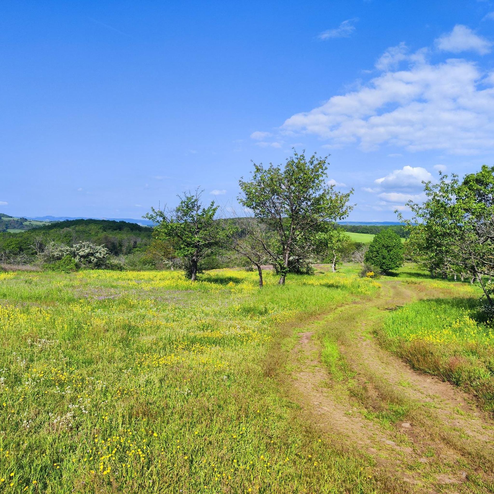
Best mountain peaks around Lettweiler are characterized by rolling hills and expansive ridges within Germany's Rhineland-Palatinate. The region, part of the North Palatine Uplands, features charming river valleys and extensive forests. Elevated terrain, such as the Lettweiler Höhe at 363 meters, offers a characteristic landscape. The area provides numerous hiking opportunities, including sections of the Soonwaldsteig, with trails traversing vineyards, forests, and meadows.
Best mountain peaks around Lettweiler
- The most popular mountain peaks is View of the Nahe Valley from Lemberghütte Observation Platform, a viewpoint that offers a newly built, well-secured observation deck with panoramic views over the Nahe valley. It is one of many beautiful places along the premium trail "Mysterious Lemberg".
- Another must-see spot is Gangelsberg Stone Table and Scenic Viewpoint, a viewpoint with a huge stone table offering great views of the valley. The plateau provides a wonderful view in many directions and serves as a spacious rest area.
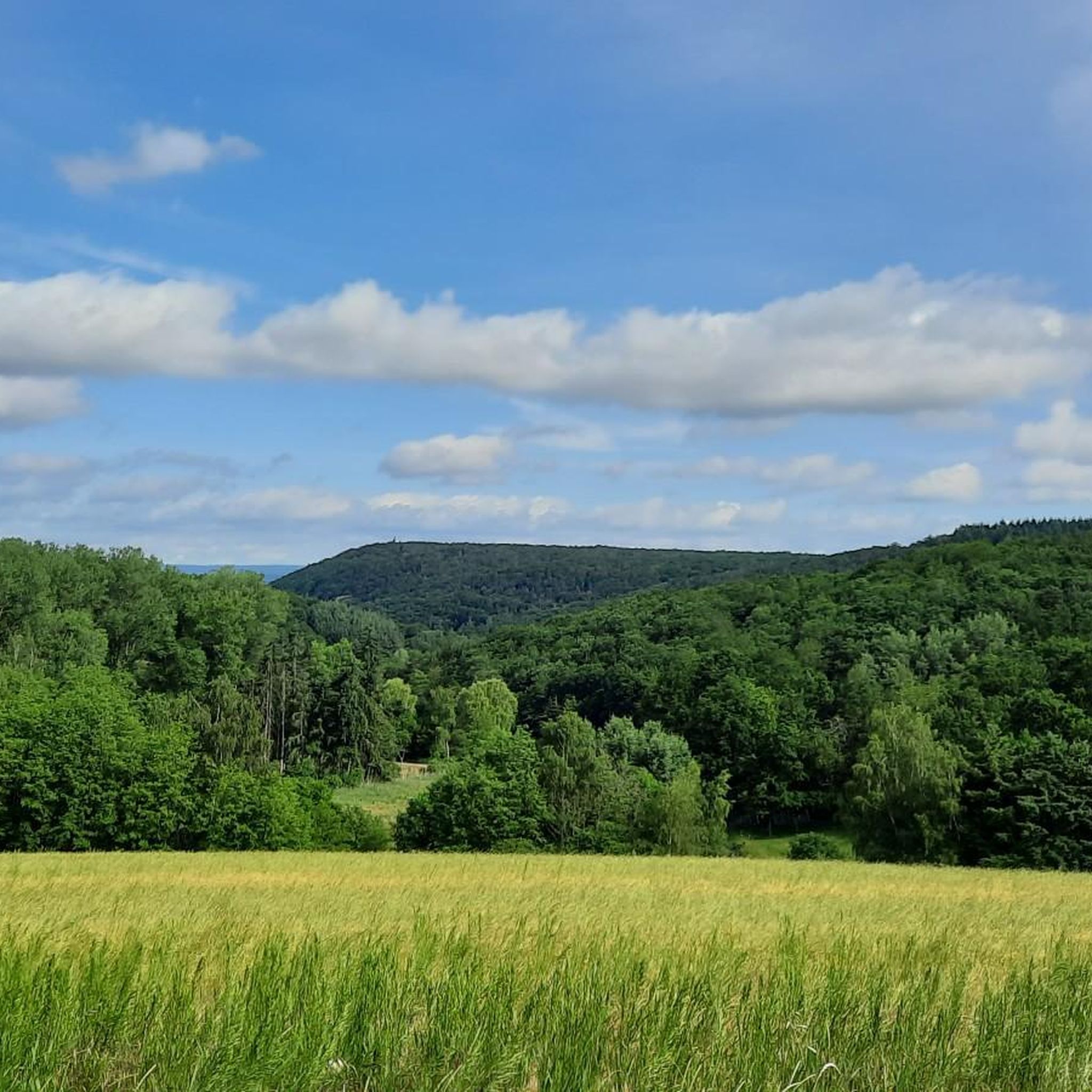
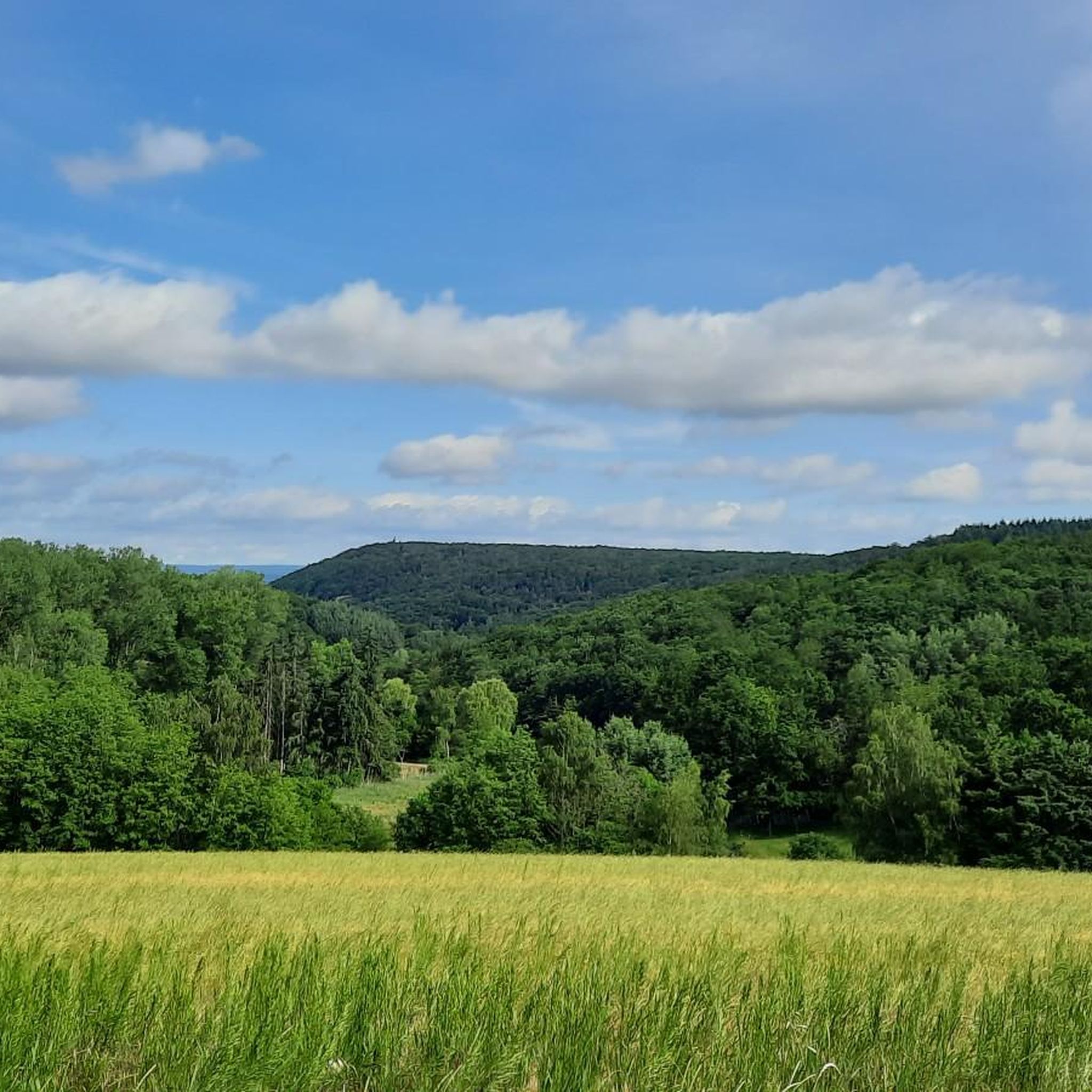
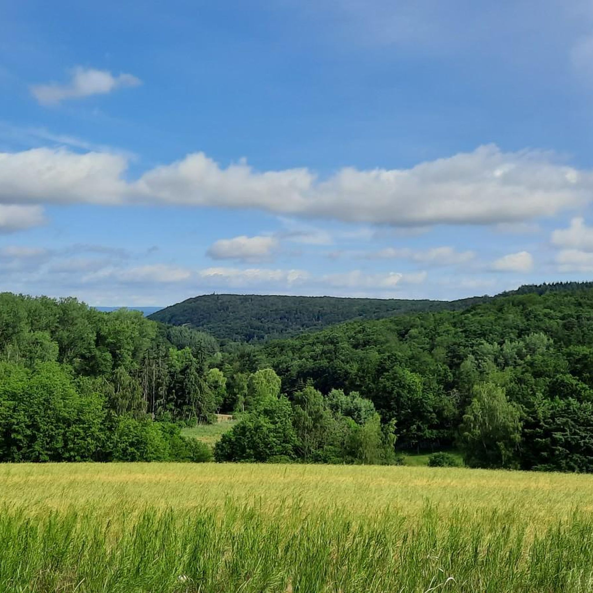
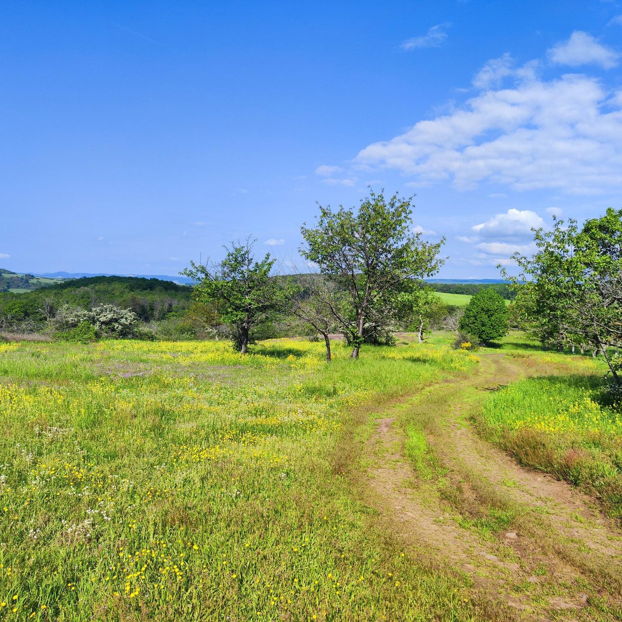
- Visitors also love Lettweiler Höhe, a summit known for its good panoramic view in the area. It features a challenging ascent, but rewards with a beautiful landscape.
- Lettweiler is known for its summits, viewpoints, and elevated ridges. The region offers a variety of elevated features to see and explore, providing diverse hiking experiences.
- The mountain peaks around Lettweiler are appreciated by the komoot community. More than 1000 upvotes and over 700 photos highlight the appeal of these locations.
Last updated: August 6, 2026
Lemberg Viewpoint
Highlight • Viewpoint
Translated by Google •
Tip by

Lettweiler Höhe
Highlight • Summit
Translated by Google •
Tip by

Sign up now to discover places like this
Get recommendations on the best single tracks, peaks, & plenty of other exciting outdoor places.
Sign up for free
Gangelsberg Stone Table and Scenic Viewpoint
Highlight • Viewpoint
Translated by Google •
Tip by

View from the cross above Bad Münster am Stein-Ebernburg
Highlight • Viewpoint
Translated by Google •
Tip by

Summit cross with views over Soonwald-Nahe Nature Park
Highlight • Summit
Translated by Google •
Tip by

Sign up for free to discover even more peaks around Lettweiler.
Sign up for free
Already have an account?
Start today with a free account
Your next adventure awaits.
Login or Signup
Tips from the Community

From Obermoschel with ramps of 15-18% a quite challenging climb.
0
0

Great section, and both directions are worth it
0
0

Long trousers are an advantage if you are coming from the east. The western access route is easy. However, you should not miss the turn-off (look at the map/GPS). A detour to the mountain cross is worthwhile.
0
0

the access to the summit cross is very hidden, but the view is phenomenal
0
0

A really great view with always nice carvings
2
0

Really nice view, but the highlight occurs at least three times
1
0

The whole path is really amazing and wonderful and the sculptures and benches are really so beautiful and unique!!
2
0

Mega view from Narnia's stone table 😉
1
0
Frequently Asked Questions
What are the most popular elevated viewpoints around Lettweiler?
The komoot community highly recommends several elevated spots. Among the most popular are the View of the Nahe Valley from Lemberghütte Observation Platform, which offers a newly built, secure deck with panoramic views, and the Gangelsberg Stone Table and Scenic Viewpoint, known for its expansive views and spacious rest area. Another notable spot is the Lettweiler Höhe, which provides excellent panoramic views after a challenging ascent.
What kind of views can I expect from the elevated points near Lettweiler?
From the elevated points and ridges around Lettweiler, you can expect breathtaking panoramic views of the surrounding landscape. These often include the picturesque Alsenz valley, the broader North Palatine Uplands, and the charming Nahe valley with its vineyards. Many viewpoints offer extensive vistas over forests, fields, and rolling hills.
Are there family-friendly elevated spots or viewpoints near Lettweiler?
Yes, several elevated spots are suitable for families. The View of the Nahe Valley from Lemberghütte Observation Platform is family-friendly, featuring a well-secured observation deck. The Gangelsberg Stone Table and Scenic Viewpoint also offers a spacious and safe area for families to rest and enjoy the views.
What are the best hiking opportunities around Lettweiler's elevated areas?
Lettweiler serves as an excellent starting point for numerous hiking tours. Trails often traverse vineyards, forests, fields, and meadows, offering diverse landscapes. The renowned Soonwaldsteig, an 83-kilometer long-distance hiking trail, passes directly by Lettweiler, providing opportunities to explore the impressive nature of the Soonwald forest. You can also find many other routes for various fitness levels, including those leading to scenic viewpoints.
Are there challenging ascents to any of the elevated points near Lettweiler?
Yes, if you're looking for a challenge, the ascent to the Lettweiler Höhe is known for being quite demanding, with gradients sometimes reaching just under 15%. However, the effort is rewarded with a beautiful landscape and good panoramic views in the area.
What other outdoor activities can I do near Lettweiler's elevated areas?
Beyond hiking, the region around Lettweiler offers various outdoor activities. You can explore numerous running trails, such as those found in the Running Trails around Lettweiler guide. For cyclists, there are extensive road cycling routes, including the 'Lettweiler Höhe – Niederhausen Dam loop', detailed in the Road Cycling Routes around Lettweiler guide. Gravel biking is also popular, with routes like the 'View of Ebernburg Castle – Nahe Wine Region Vineyards loop' available in the Gravel biking around Lettweiler guide.
Can I find historical sites while exploring the elevated terrain around Lettweiler?
Yes, a popular hiking route leads to the nearby Montfort Castle ruins. This offers a historical highlight along with beautiful views and peaceful forest sections, providing a cultural element to your outdoor exploration.
When is the best time to visit the elevated areas around Lettweiler?
The elevated areas around Lettweiler are beautiful year-round, but spring and autumn are particularly pleasant for hiking, with mild temperatures and vibrant natural colors. Summer offers lush greenery, while winter can provide a serene, snow-covered landscape, though some trails might be more challenging.
Where can I find a great spot for a rest with a view?
The Gangelsberg Stone Table and Scenic Viewpoint is an excellent choice. It features a huge stone table and a spacious plateau that offers wonderful views in many directions, making it a perfect and expansive rest area.
What do visitors enjoy the most about the elevated viewpoints around Lettweiler?
Visitors frequently praise the stunning panoramic views over the Nahe valley and the surrounding rolling hills. They appreciate the well-maintained observation decks, the peaceful atmosphere, and the opportunity to combine scenic beauty with challenging hikes. The community has contributed over 700 photos and more than 1000 upvotes, highlighting the appeal of these locations.
Are there any hidden gem hikes in the Lettweiler region that lead to elevated spots?
While not explicitly a 'hidden gem' in the sense of being unknown, the path to the View from the cross above Bad Münster am Stein-Ebernburg is described as very hidden and not signposted, requiring some effort to find and navigate through undergrowth. However, the view from the summit cross is considered well worth the challenge.
Most popular routes around Lettweiler
Most popular attractions around Lettweiler

Get inspired with the komoot mobile app


Explore more
See even more amazing summits around Lettweiler with these guides:
